The best walks and hikes around Schlettstadt-Erstein
4.5
(7964)
38,678
hikers
1,484
hikes
Hiking trails around Sélestat Erstein offer diverse landscapes at the foot of the Vosges mountains. The region features the expansive Illwald Forest, a significant wetland ecosystem, and the tranquil Rhône-Rhine Canal. Hikers can explore varied terrain, from gentle slopes to more challenging ascents, often encountering waterfalls and historic castles.
Best hiking trails around Schlettstadt-Erstein
- The most popular hiking route is Hohwald Waterfall Loop via GR 5, an easy 3.0 miles (4.9 km) trail that takes 1 hour 24 minutes…
Last updated: September 26, 2026
4.7
(233)
793
hikers
4.86km
01:24
120m
120m
Easy hike. Great for any fitness level. Easily-accessible paths. Suitable for all skill levels.
4.5
(148)
625
hikers
13.3km
04:10
520m
520m
Moderate hike. Good fitness required. Easily-accessible paths. Suitable for all skill levels.

4.6
(101)
475
hikers
8.75km
02:32
220m
220m
Moderate hike. Good fitness required. Mostly accessible paths. Sure-footedness required.
4.5
(35)
197
hikers
5.56km
01:53
300m
300m
Easy hike. Great for any fitness level. Easily-accessible paths. Suitable for all skill levels.
4.2
(39)
138
hikers
9.09km
02:52
350m
350m
Moderate hike. Good fitness required. Mostly accessible paths. Sure-footedness required.
4.8
(146)
448
hikers
8.05km
02:33
320m
320m
Moderate hike. Good fitness required. Mostly accessible paths. Sure-footedness required.
4.8
(134)
526
hikers
15.3km
04:56
670m
670m
Moderate hike. Good fitness required. Easily-accessible paths. Suitable for all skill levels.
4.7
(151)
509
hikers
13.6km
04:07
450m
450m
Moderate hike. Good fitness required. Easily-accessible paths. Suitable for all skill levels.
4.8
(114)
469
hikers
9.88km
02:52
250m
250m
Moderate hike. Good fitness required. Easily-accessible paths. Suitable for all skill levels.
4.8
(128)
417
hikers
13.6km
04:06
420m
420m
Moderate hike. Good fitness required. Easily-accessible paths. Suitable for all skill levels.
Get access to more routes and recommendations from other explorers.
Already have an account?
Our route recommendations are based on thousands of hikes, rides, and runs completed by other people on komoot.
Start today with a free account
Your next adventure awaits.
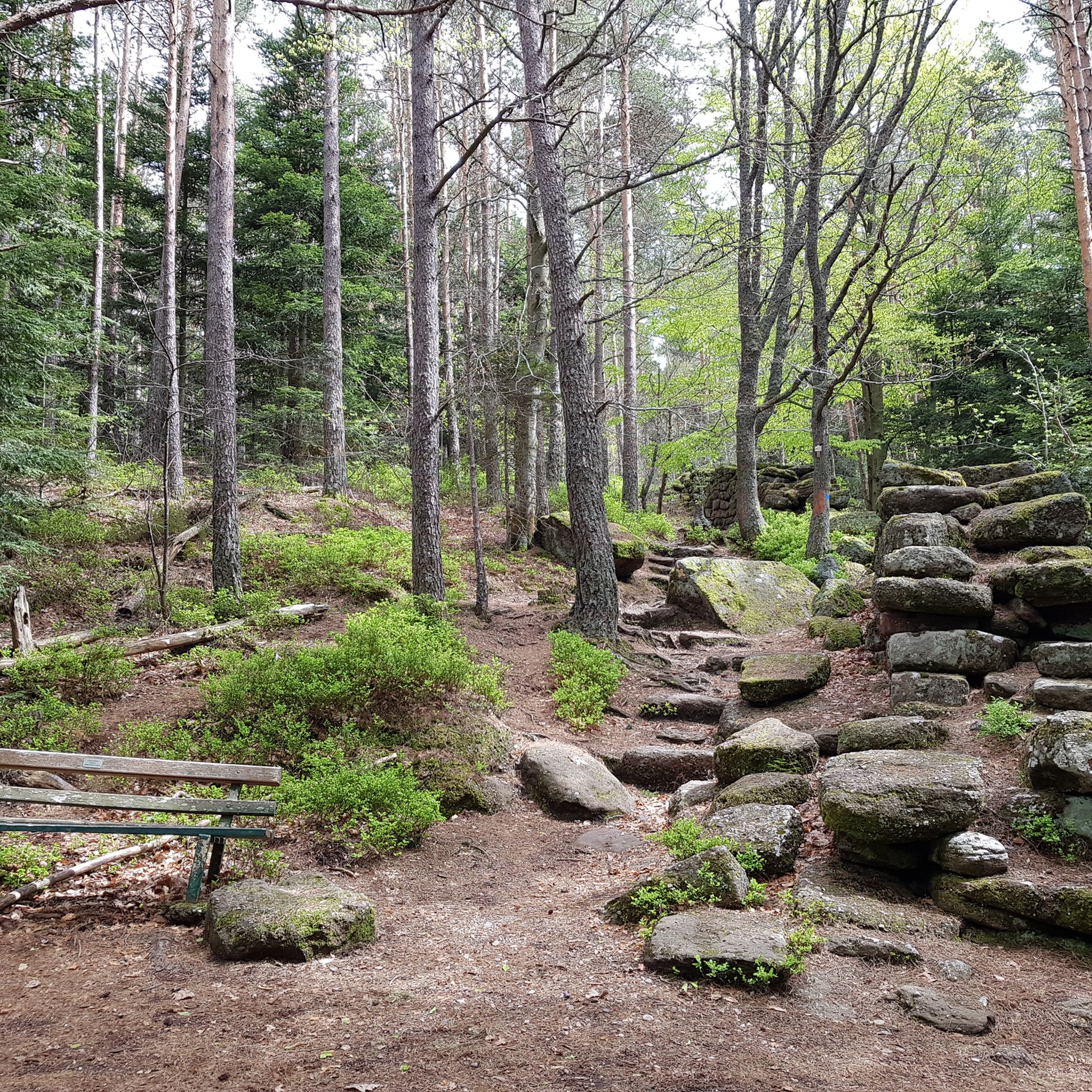
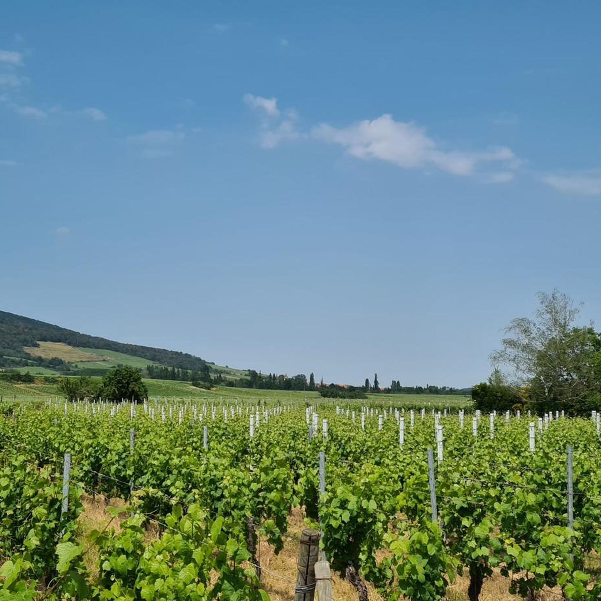
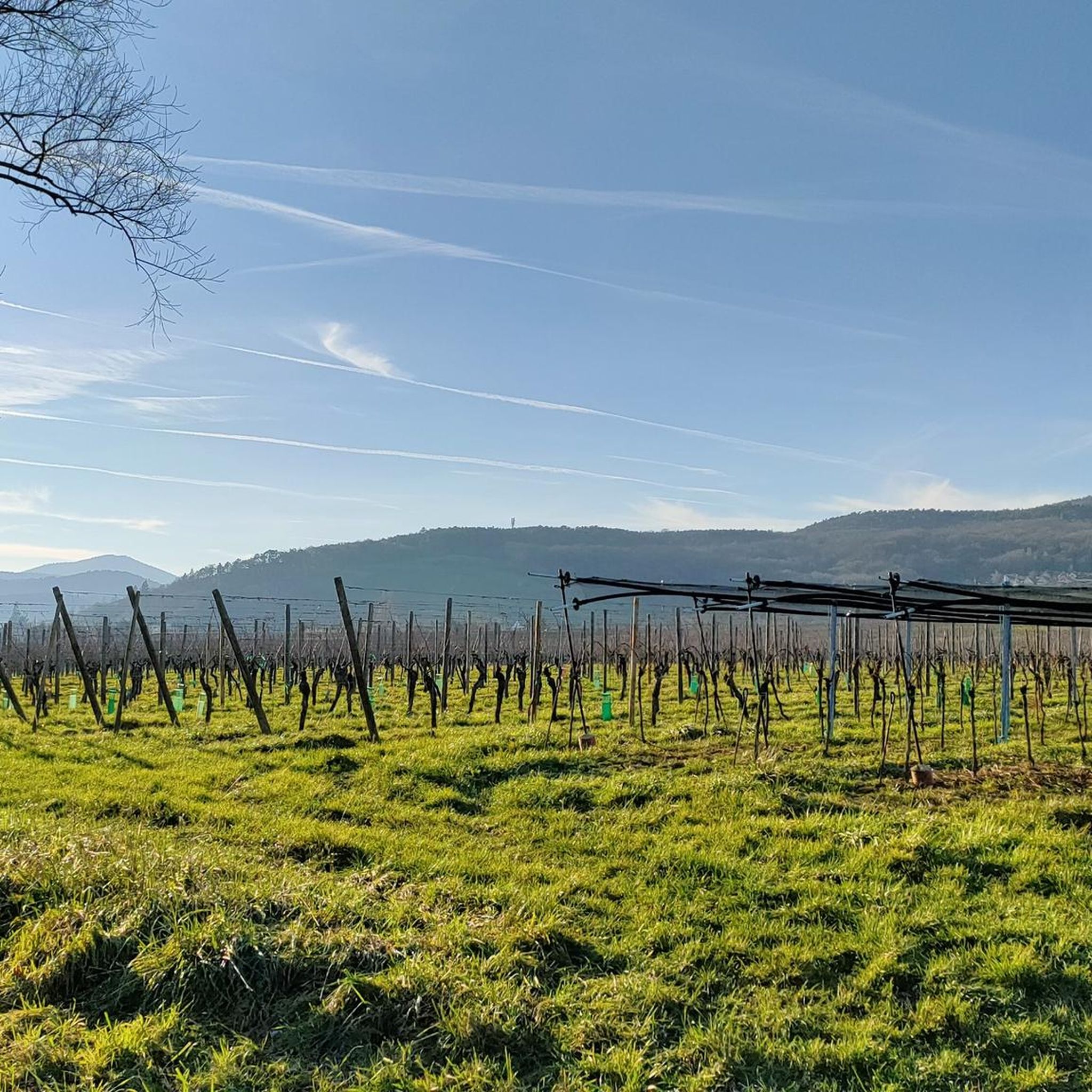
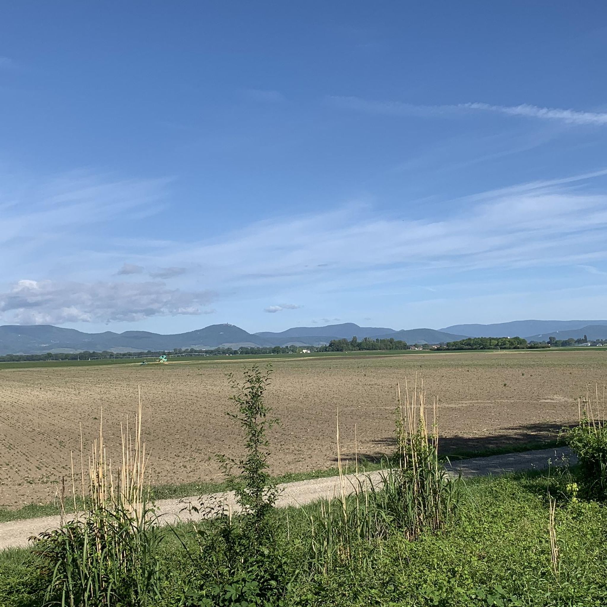
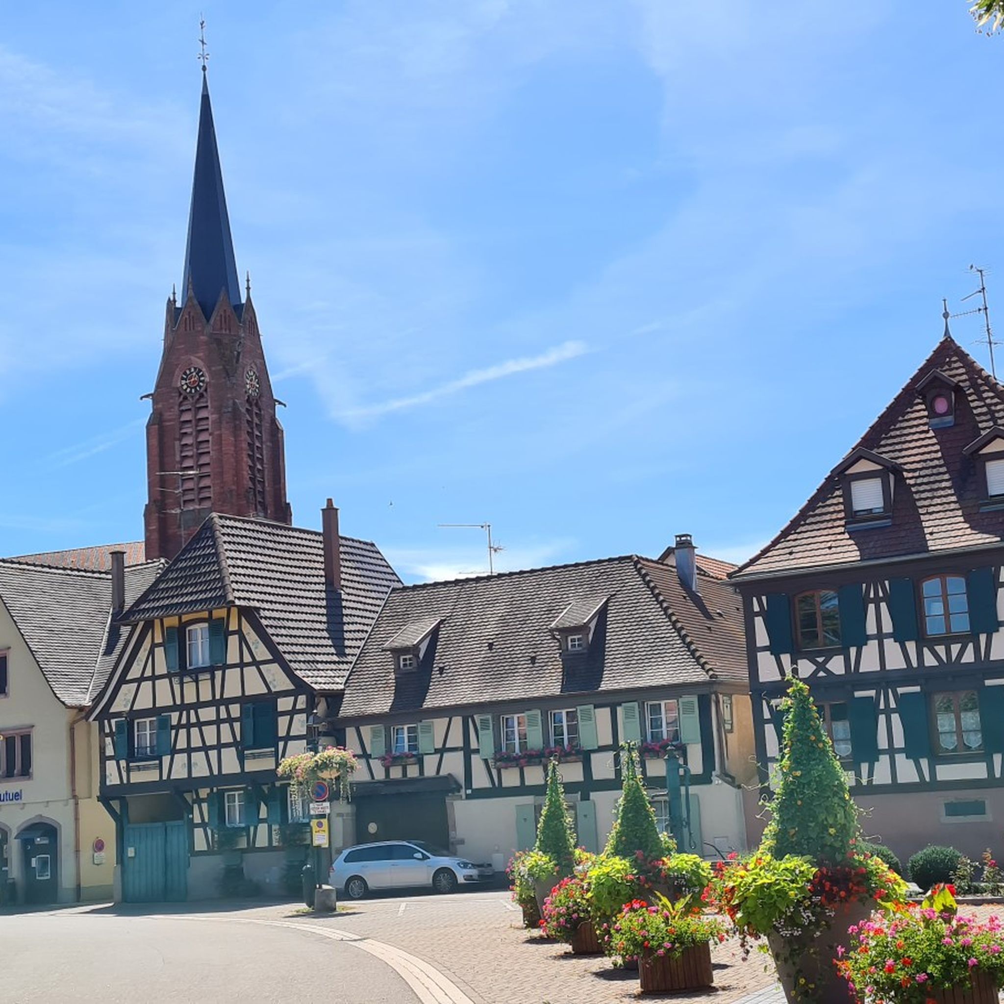
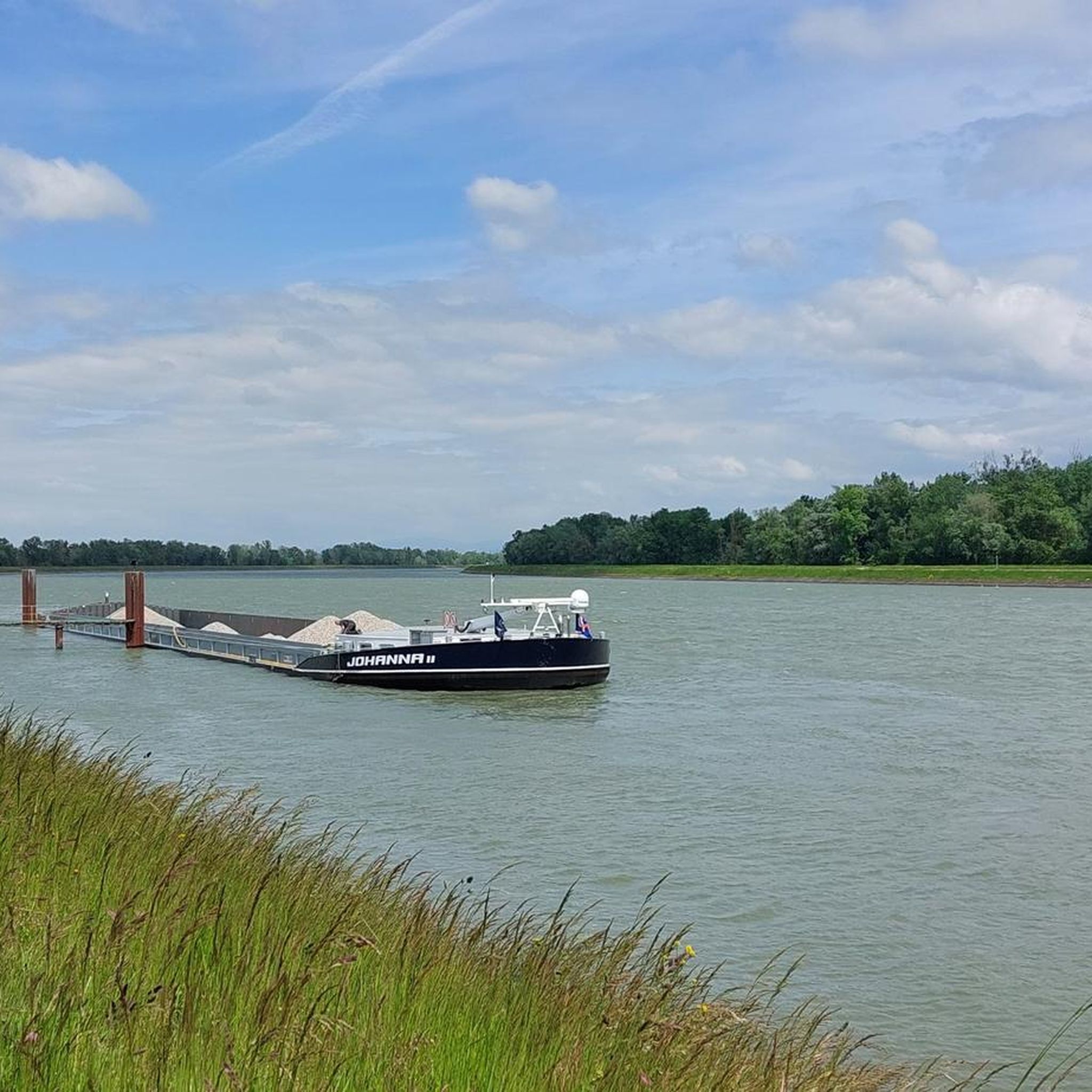
Other adventures around Schlettstadt-Erstein


Tips from the Community

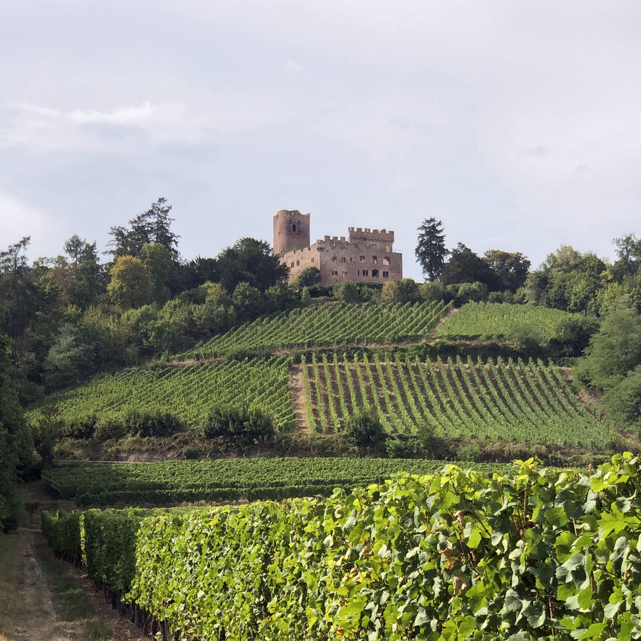
Officially, access to the castle is unfortunately blocked due to rockfall (with warning tape and official notice)
0
0

Beautiful view into the Rhine plain 😍
0
0

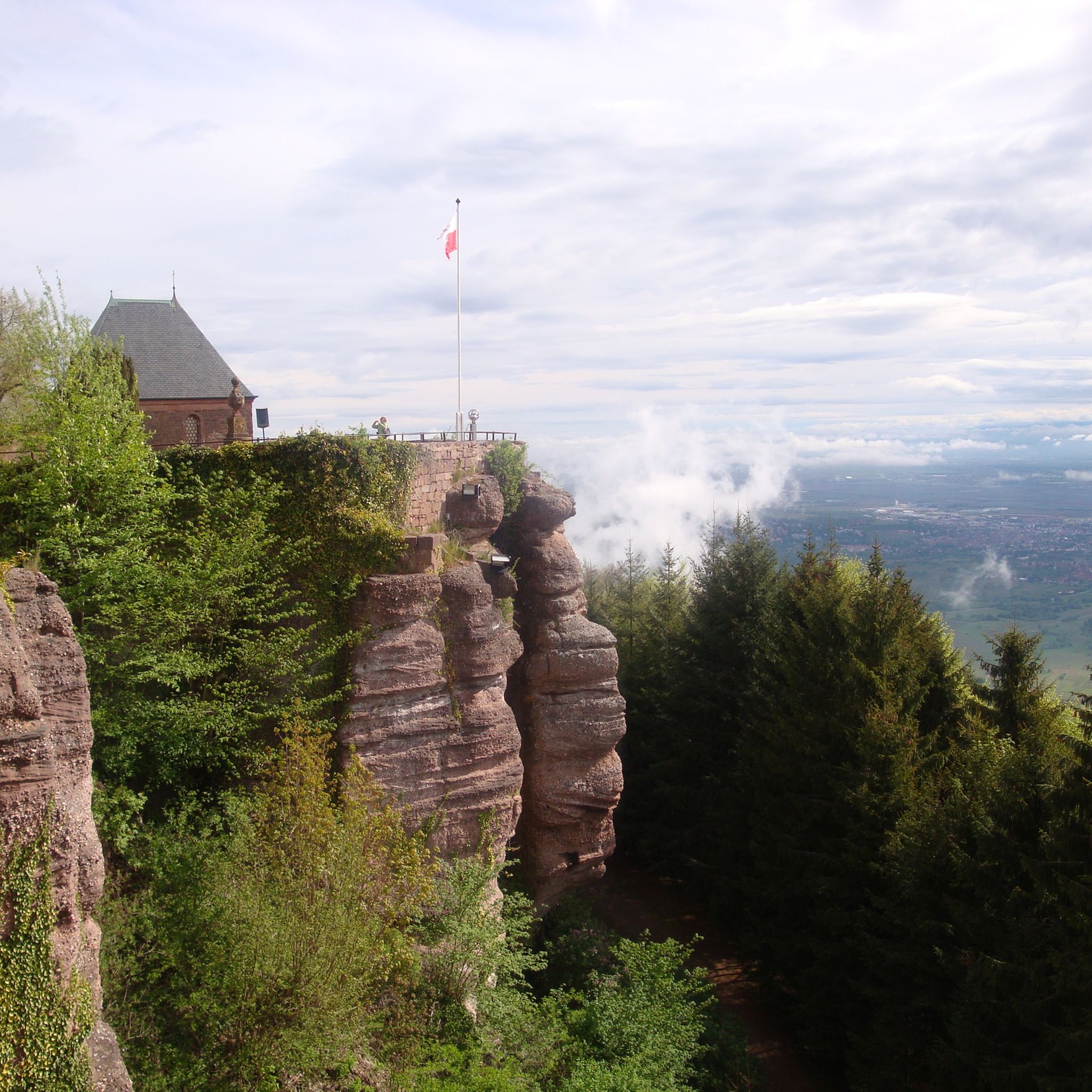
Striking rock with a view of the Rhine valley and the Black Forest
0
0
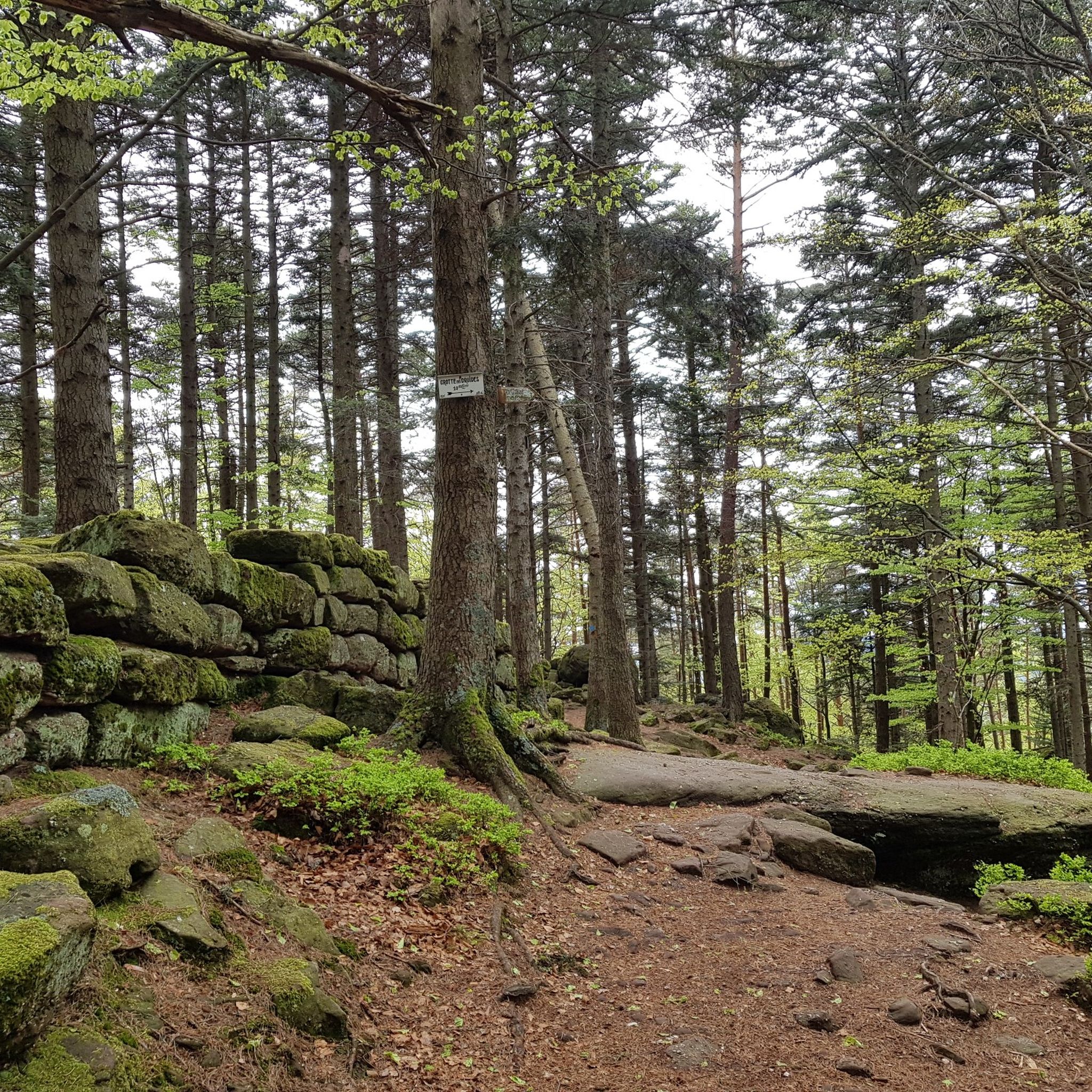
The Heidenmauer (French: Mur Païen) is a monumental, eleven-kilometer-long fortification from the early Middle Ages that encloses the high plateau of the Odilienberg in Alsace. The imposing structure has fascinated archaeologists and visitors alike for centuries with its sheer dimension and construction. Around 300,000 irregularly hewn sandstone blocks were piled up without mortar to form a dry stone wall up to two meters wide. To give the huge blocks stability, the builders connected them with swallowtail-shaped wooden clamps made of oak. This extraordinary technique secured the structure against the shifting of stones in the steep forest terrain. For a long time, the structure was surrounded by a great mystery. Due to the name Pope Leo IX gave the wall in the 11th century, its origin was suspected to be from prehistoric, Celtic, or Roman times. Modern scientific investigations finally brought clarity: With the help of dendrochronology (tree-ring analysis), the wooden connecting wedges could be precisely dated to the late 7th or early 8th century AD. The wall thus originated in the Merovingian era. To this day, research puzzles over the exact purpose of this gigantic structure. The most likely theory is that the wall served as a mighty refuge for the population in times of political unrest. At the same time, the monumental structure demonstrated the claim to power and prestige of the then Dukes of Alsace, to whose family Saint Odilia also belonged. Today, the Heidenmauer is a protected cultural monument and a popular destination for hikers. A well-signposted
0
0
The monumental ceramic Way of the Cross on Mont Sainte-Odile (French: Chemin de Croix du Mont Sainte-Odile) was created between 1933 and 1935 by the renowned Alsatian artist and master ceramicist Léon Elchinger (1871–1942). From an art historical perspective, it is considered one of the most significant and ambitious masterpieces of sacred ceramic art in Alsace.
0
0
The Maennelstein (Männelstein) is a striking, 817-meter-high Bunter Sandstone rock formation on the southern edge of Odilienberg (Mont Sainte-Odile) in Alsace. It is considered one of the most beautiful viewpoints in the region and offers a wide panoramic view over the Rhine plain, the Black Forest, and on clear days even as far as the Alps.
0
0

Magnificent waterfall on the edge of the GR5. 🥰
0
0

Nice spot above the village with a cross and benches. Invites you to linger and offers a beautiful view of the village.
0
0
Frequently Asked Questions
How many hiking trails are available in the Schlettstadt-Erstein region?
The Schlettstadt-Erstein region offers a vast network of hiking trails, with over 1,400 routes recorded on komoot. These range from easy strolls through forests to more challenging ascents in the Vosges foothills, catering to all experience levels.
Are there any easy hiking trails suitable for beginners or families?
Yes, the region has over 640 easy hiking trails. A great option for a gentle walk is the Hohwald Waterfall Loop via GR 5, an easy 3-mile route through dense forests that leads to a beautiful waterfall.
Can I find hiking routes that include historical castles?
Absolutely. The region is dotted with impressive castles. For a hike combining history with scenic views, consider the Ortenbourg and Bernstein Castles Loop. This moderate 8.2-mile path connects two historic castles, offering panoramic vistas and varied terrain.
Are there any trails that feature waterfalls?
Yes, the area is known for its beautiful waterfalls. Beyond the easy GR 5 loop, you can explore the Hohwald Waterfall Loop, a moderate 5.4-mile trail that takes you through the picturesque Hohwald area to another stunning waterfall.
What kind of natural landscapes can I expect to see while hiking?
Hikers in Schlettstadt-Erstein will encounter diverse landscapes. The region is at the foot of the Vosges mountains, offering varied terrain. You can explore the expansive Illwald Forest, one of France's largest regional nature reserves, known for its wetland ecosystem and wild fallow deer. The Rhône-Rhine Canal also provides tranquil, tree-lined paths.
Are there any circular hiking routes available?
Many routes in the region are designed as loops. For example, the Monkey Mountain Circuit is a moderate 5.6-mile loop that offers engaging scenery. Another option is the Heathen Wall Loop – Mount Sainte-Odile loop from Mont Sainte-Odile, a moderate 5-mile trail with historical significance.
What do other hikers enjoy most about the trails in Schlettstadt-Erstein?
The trails in Schlettstadt-Erstein are highly rated by the komoot community, with an average score of 4.5 stars from over 6,000 reviews. Hikers often praise the diverse landscapes, the well-maintained paths, and the combination of natural beauty with historical sites like castles and charming villages.
Are there any trails that offer views of the Vosges mountains or other scenic viewpoints?
Yes, many trails provide excellent viewpoints. The region's proximity to the Vosges mountains means you'll often find routes with rewarding vistas. For example, the Alsace Castle Trail, an easy 3.5-mile hike, offers views as it winds through the landscape, often with castles as a backdrop. You can also find highlights like Hering Tower on Ungersberg for panoramic views.
What are some notable landmarks or attractions to look out for along the hiking routes?
Beyond castles, hikers can discover various natural and historical landmarks. The region features several mountain passes like Charbonnière Pass and Kreuzweg Pass, which can be part of longer routes. Peaks such as Champ du Feu also offer significant points of interest.
Are there any longer or more challenging hikes for experienced hikers?
While the region has many easy and moderate trails, there are also more challenging options. Over 100 difficult routes are available. For a moderate but longer hike, consider the Mount Sainte-Odile – Heathen Wall Loop loop from Heiligenstein, which covers nearly 7 miles with significant elevation changes.
Can I find trails that are suitable for winter hiking?
The Illwald Forest, known for its annual winter floods, transforms into a unique landscape during colder months. While specific winter-designated trails aren't listed, many forest paths remain accessible. Always check local conditions and weather forecasts before heading out for winter hikes.
Are there any trails that pass through vineyards?
Yes, the region is close to the Alsace Wine Route. Around areas like Mittelbergheim, located at the foot of the Vosges, you can find scenic walks through vineyards, combining natural beauty with cultural experiences. While not explicitly listed in the top routes, many local paths will traverse these areas.
Most popular routes around Schlettstadt-Erstein
Most popular attractions around Schlettstadt-Erstein

Get inspired with the komoot mobile app


Didn’t find what you were looking for?
Check out more Hikes throughout Schlettstadt-Erstein below and find the perfect route in your destination.
Explore more
Browse the best Hikes in other regions.
