Easy hikes and walks around Schlettstadt-Erstein
4.5
(7201)
35,860
hikers
1,462
hikes
Easy hiking trails around Schlettstadt-Erstein traverse a diverse landscape in the Grand Est region of France. The area features the foothills of the Vosges mountains, the fertile Alsace plains, and the unique Ried wetlands. Hikers can explore extensive forests like the Illwald, picturesque vineyards, and routes along the Rhine-Rhône Canal. This varied terrain provides a range of natural settings for accessible outdoor activities.
Best easy hiking trails around Schlettstadt-Erstein
- The most popular easy hiking route is Hohwald Waterfall Loop via…
Last updated: July 21, 2026
4.7
(204)
697
hikers
4.86km
01:24
120m
120m
Easy hike. Great for any fitness level. Easily-accessible paths. Suitable for all skill levels.
4.6
(31)
183
hikers
5.56km
01:53
300m
300m
Easy hike. Great for any fitness level. Easily-accessible paths. Suitable for all skill levels.

Sign up for free
4.7
(49)
240
hikers
5.40km
01:38
180m
180m
Easy hike. Great for any fitness level. Easily-accessible paths. Suitable for all skill levels.
4.6
(47)
177
hikers
6.94km
02:00
170m
170m
Easy hike. Great for any fitness level. Easily-accessible paths. Suitable for all skill levels.
4.6
(23)
179
hikers
7.40km
01:58
80m
80m
Easy hike. Great for any fitness level. Easily-accessible paths. Suitable for all skill levels.
4.2
(40)
114
hikers
Easy hike. Great for any fitness level. Easily-accessible paths. Suitable for all skill levels.
4.6
(18)
128
hikers
5.40km
01:48
250m
250m
Easy hike. Great for any fitness level. Easily-accessible paths. Suitable for all skill levels.
4.5
(35)
89
hikers
6.65km
01:56
160m
170m
Easy hike. Great for any fitness level. Easily-accessible paths. Suitable for all skill levels.
4.5
(17)
105
hikers
Easy hike. Great for any fitness level. Easily-accessible paths. Suitable for all skill levels.
4.7
(17)
68
hikers
Easy hike. Great for any fitness level. Easily-accessible paths. Suitable for all skill levels.
Get access to more routes and recommendations from other explorers.
Sign up for free
Already have an account?
Our route recommendations are based on thousands of hikes, rides, and runs completed by other people on komoot.
Start today with a free account
Your next adventure awaits.
Login or Signup
Popular around Schlettstadt-Erstein

Easy hikes in Réserve Biologique Dirigée De Daubensand
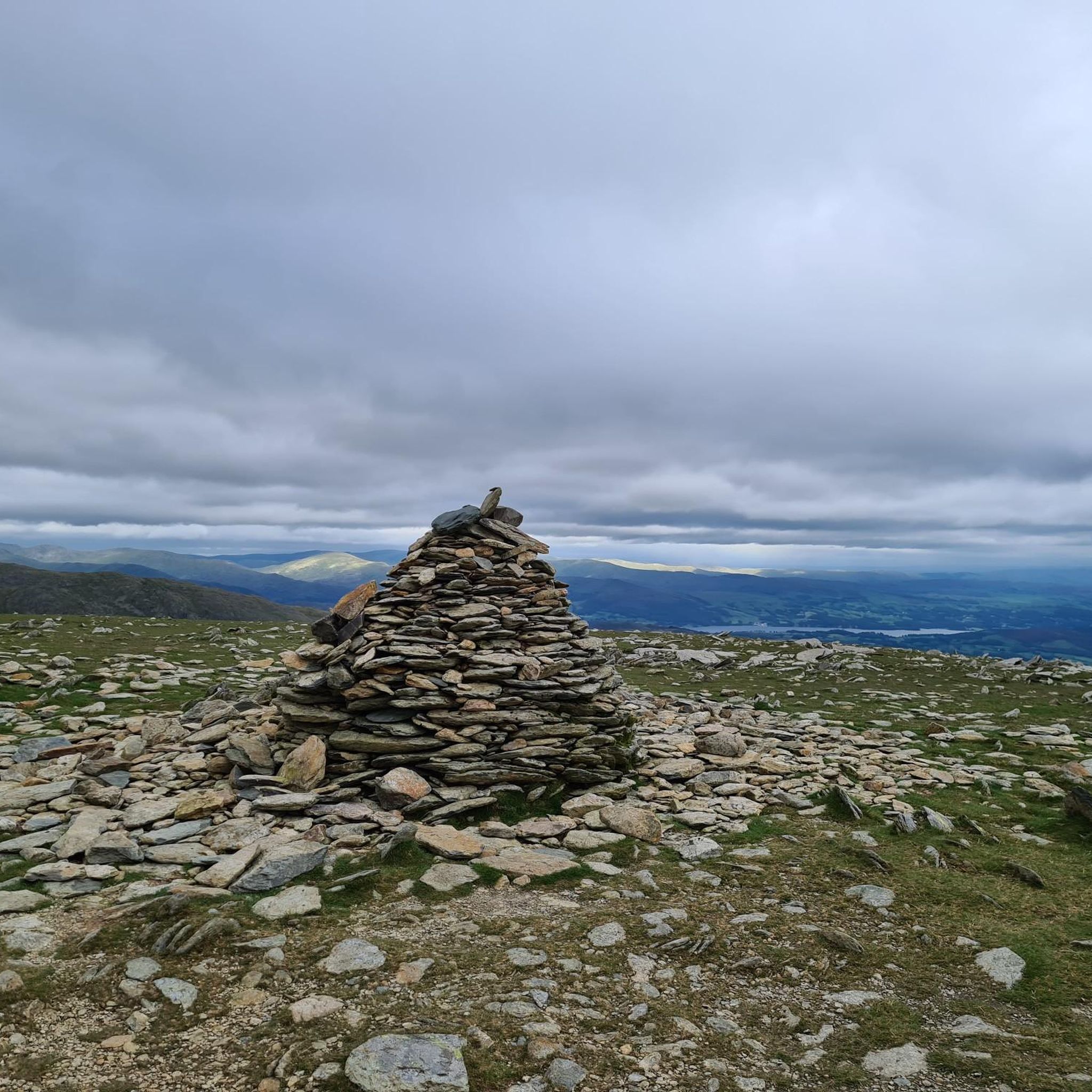
Easy hikes in Forêt D'Erstein

Easy hikes in Réserve Naturelle Du Ried De Sélestat (Ill*Wald)

Easy hikes in Forêt De L'Illwald
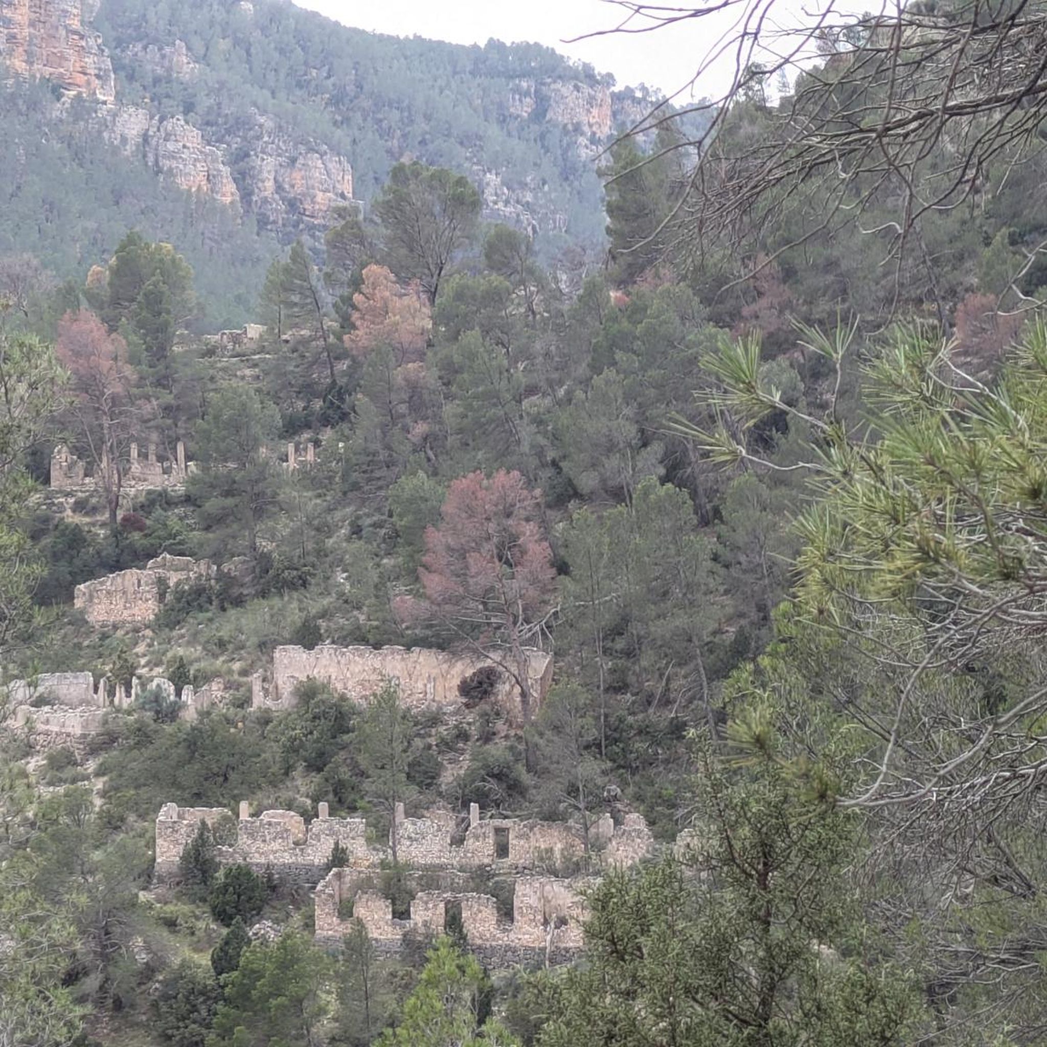
Easy hikes in Réserve Naturelle De L'Île De Rhinau

Sentier de l'Europe (GR 5) – Montbéliard to Abreschviller
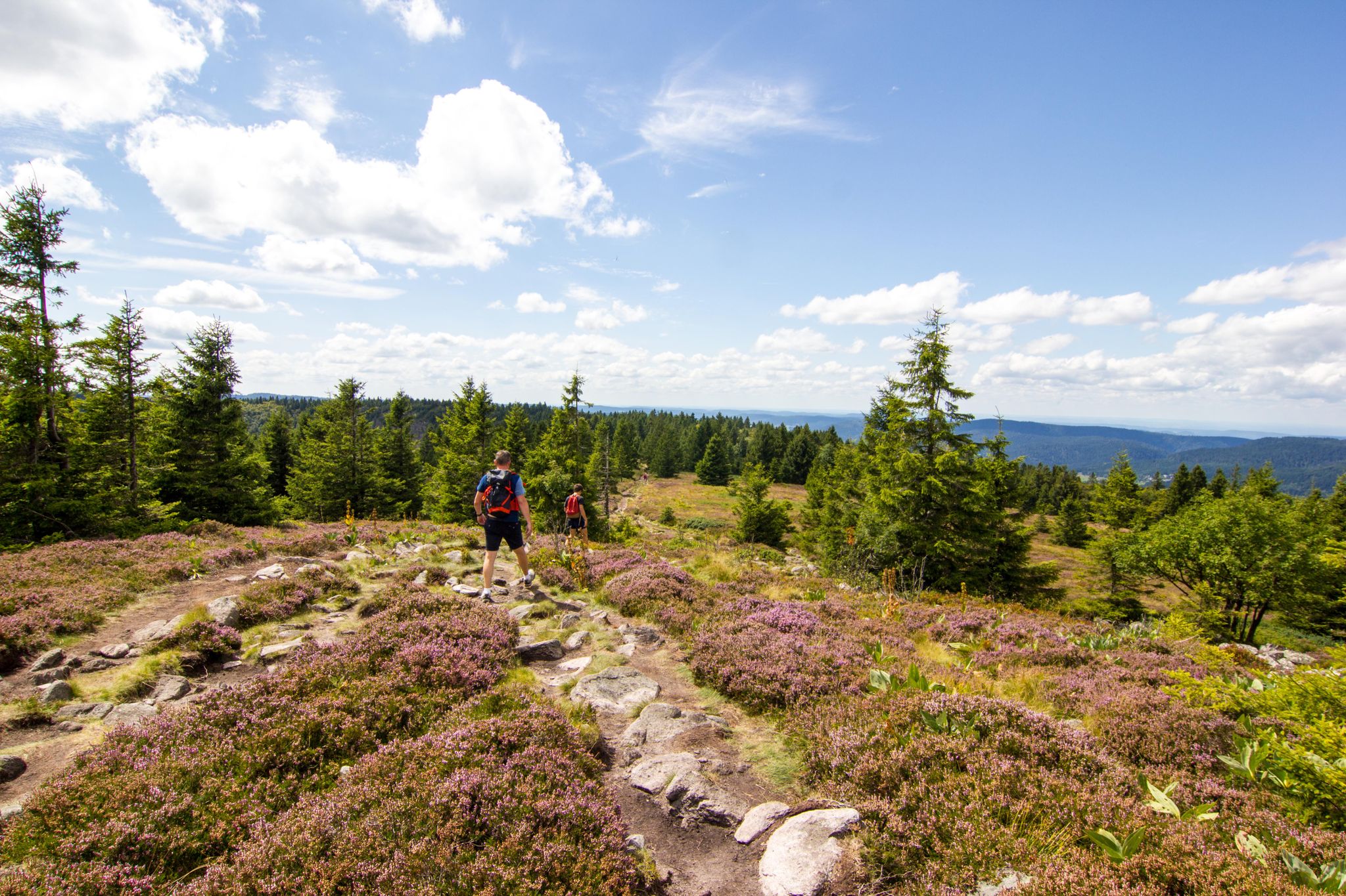
Hiking and relaxation – wellbeing on the Traversée des Vosges
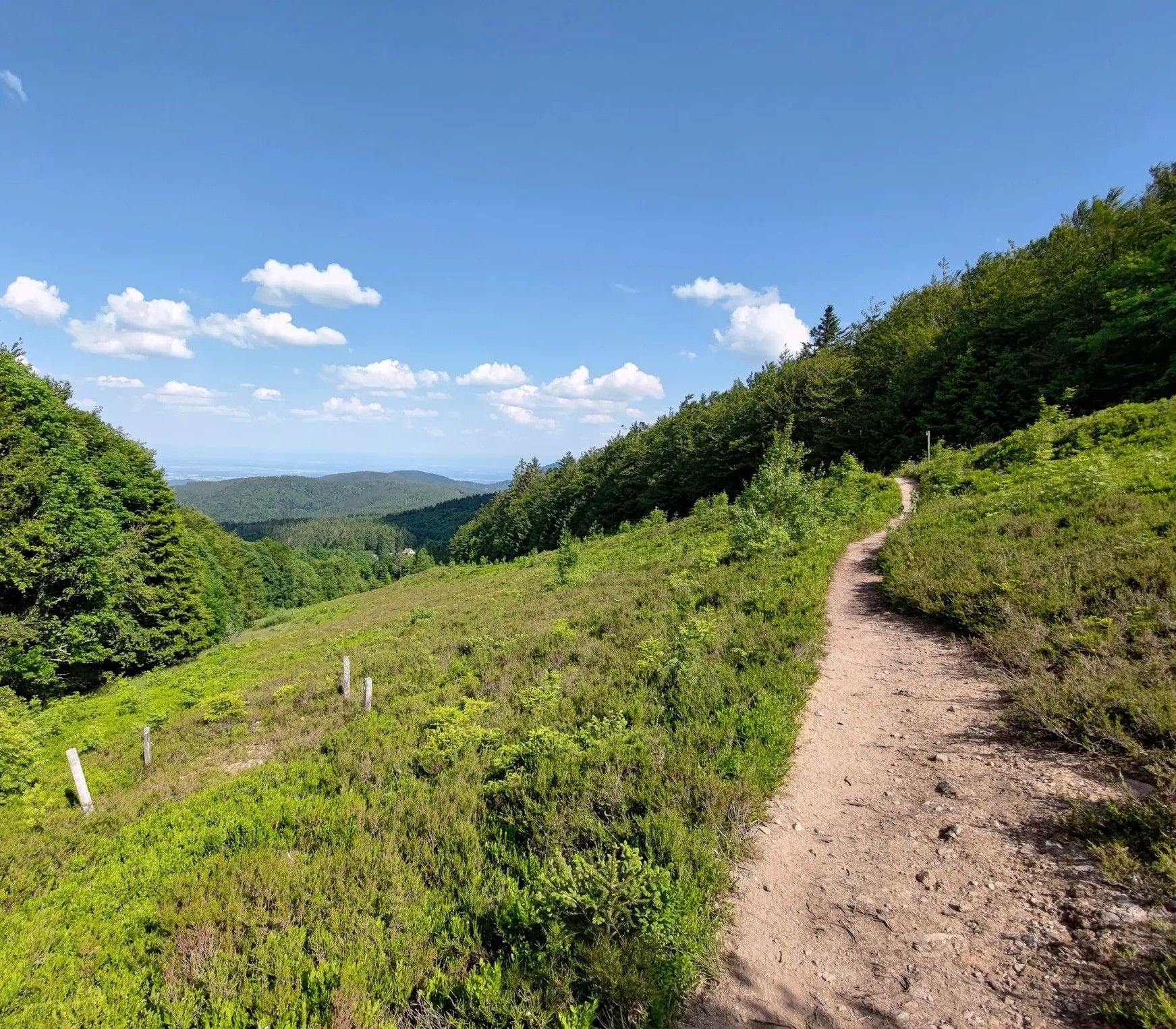
From one slope to the other – Crossing the Champ du Feu

From the Vosges to the Jura mountains – Hexatrek, le Grand Est
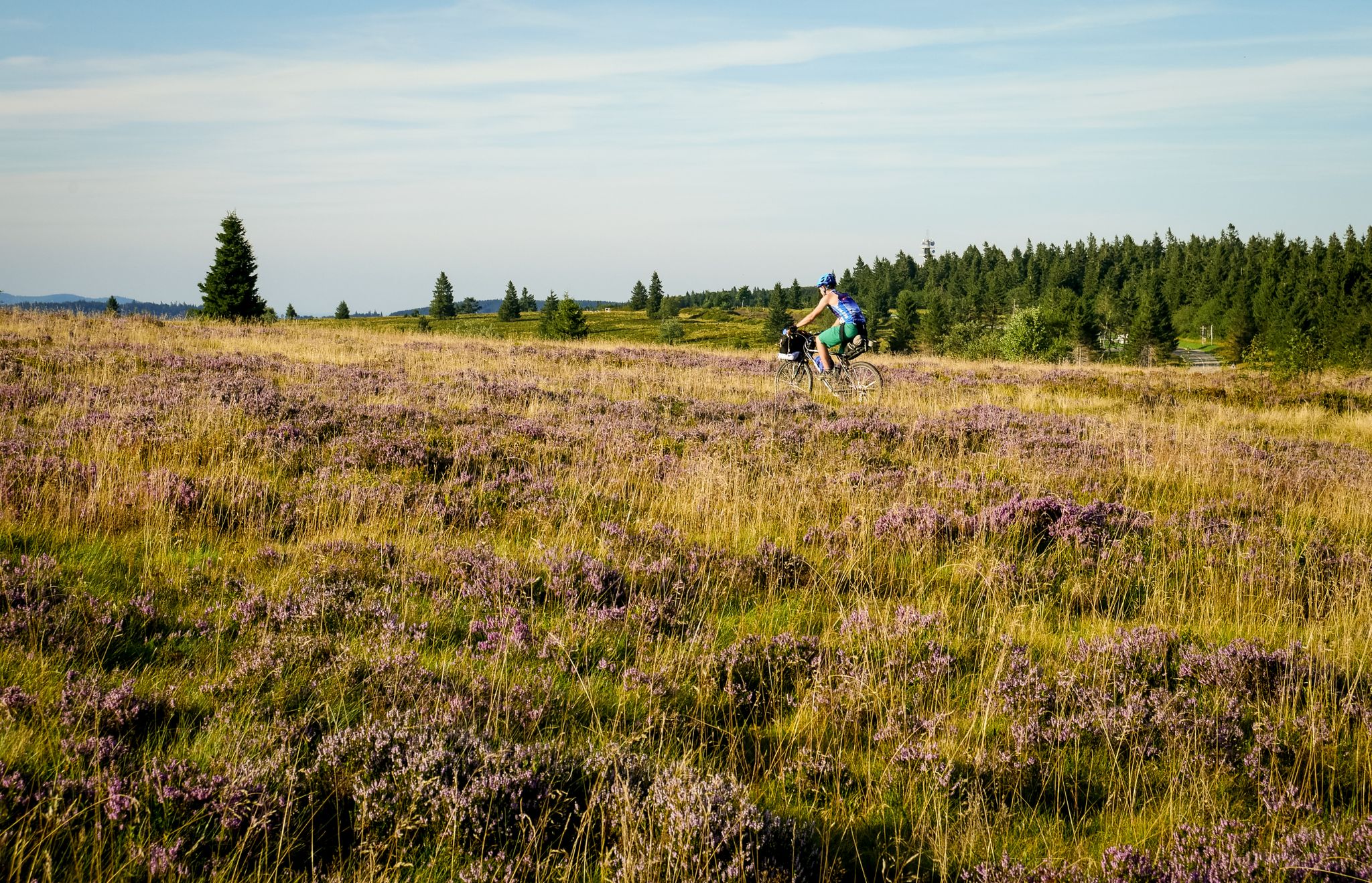
Traversée du Massif Vosgien — Alsace bikepacking
Other adventures around Schlettstadt-Erstein


Tips from the Community


Magnificent waterfall on the edge of the GR5. 🥰
0
0

Champ du Feu, at 1099 meters, is the highest mountain in the Bas-Rhin department of the Vosges in Alsace. It is located between the villages of Belmont and Le Hohwald and consists of an extensive high plateau with forests, meadows, and moorlands. The area is a popular nature and recreational area. In summer, it is mainly used for hiking, mountain biking, and nature observation. In winter, there is a small ski resort with cross-country trails and simple slopes for winter sports. The stream La Serva originates from Champ du Feu and later forms the Cascade de la Serva. In clear weather, the summit offers wide views over the Vosges, the Rhine plain, and as far as the Black Forest. The area is particularly known for its tranquil nature, high moors, sunrises and starry skies, as well as well-marked hiking trails.
0
0
Champ du Feu, at 1099 meters, is the highest mountain in the Bas-Rhin department of the Vosges in Alsace. It lies between the towns of Belmont and Le Hohwald and consists of an extensive high plateau with forests, meadows, and moorlands. The area is a popular nature and recreational area. In summer, it is mainly used for hiking, mountain biking, and nature observation. In winter, there is a small ski area with cross-country trails and simple slopes for winter sports. The brook La Serva originates from Champ du Feu, later forming the Cascade de la Serva. In clear weather, the summit offers wide views over the Vosges, the Rhine plain, and as far as the Black Forest. The area is particularly known for its tranquil nature, high moors, sunrises and starry skies, as well as well-marked hiking trails.
0
0
The Champ du Feu, at 1099 meters, is the highest mountain in the Bas-Rhin department in the Vosges in Alsace. It is located between the towns of Belmont and Le Hohwald and consists of an extensive plateau with forests, meadows, and moorlands. The area is a popular nature and recreation area. In summer, it is mainly used for hiking, mountain biking, and nature observation. In winter, there is a small ski area with cross-country trails and simple slopes for winter sports. The brook La Serva originates from the Champ du Feu, later forming the Cascade de la Serva. In clear weather, the summit offers wide views over the Vosges, the Rhine plain, and as far as the Black Forest. The area is particularly known for its tranquil nature, high moors, sunrises and starry skies, as well as well-marked hiking trails.
0
0

A particularly beautiful specimen of a weeping willow
2
0

Unique how the craftsmanship has proven itself here.
0
0
Bernstein Castle ruins were built in the 12th century and served to monitor important trade routes in Alsace. Later, they lost their military significance, were damaged in the 17th century, and fell into ruin. Today, the ruins are freely accessible and a popular hiking destination offering panoramic views across the Rhine plain.
0
0
Frequently Asked Questions
How many easy hiking trails are available in Schlettstadt-Erstein?
The Schlettstadt-Erstein region offers a wide selection of easy hiking trails, with over 640 routes suitable for all skill levels. These trails traverse diverse landscapes, from the foothills of the Vosges mountains to the Alsace plains and the unique Ried wetlands.
What natural features or landmarks can I see on easy hikes in Schlettstadt-Erstein?
Easy hikes in Schlettstadt-Erstein allow you to explore a variety of natural features and historical landmarks. You can discover picturesque waterfalls, such as on the Hohwald Waterfall Loop via GR 5. The region is also dotted with historic castles, including the ruins of Bernstein Castle and the well-preserved Ortenbourg Castle. For a different experience, explore the unique wetlands of the Illwald Forest or the serene paths along the Rhine-Rhône Canal, like the Canal du Rhône au Rhin Tree-Lined Path.
Are there easy hiking trails that visit castles in the region?
Yes, several easy hiking trails in Schlettstadt-Erstein incorporate historical castles. For example, the Alsace Castle Trail offers views of historical castles and the surrounding landscape. Another option is the Andlau Castle – Spesbourg Castle loop from Mittelbergheim, which takes you past impressive ruins.
Can I find easy circular walks in Schlettstadt-Erstein?
Yes, many easy trails in Schlettstadt-Erstein are designed as circular routes, offering convenient starting and ending points. Examples include the Hohwald Waterfall Loop via GR 5 and the Hohwald waterfall – The Hohwald loop from Breitenbach, both popular for their scenic beauty and ease of navigation.
Are there family-friendly easy hikes in Schlettstadt-Erstein?
Absolutely. The region is ideal for family outings, with numerous easy trails suitable for all ages. Many routes feature gentle terrain through forests, along canals, or past charming villages. The Illwald Forest, for instance, provides expansive, flat paths perfect for a relaxed family walk. Look for trails with minimal elevation gain and shorter distances for the best family experience.
Can I bring my dog on easy trails in Schlettstadt-Erstein?
Most easy hiking trails in the Schlettstadt-Erstein region are dog-friendly, allowing you to enjoy the outdoors with your canine companion. It's always advisable to keep your dog on a leash, especially in nature reserves like the Illwald Forest, to protect local wildlife. Please also ensure you clean up after your pet.
What is the best time of year for easy hikes in Schlettstadt-Erstein?
The Schlettstadt-Erstein region is enjoyable for easy hikes throughout much of the year. Spring brings blooming wildflowers and mild temperatures, while autumn offers stunning fall foliage, particularly in the Vosges foothills and vineyards. Summer is also pleasant, especially for shaded forest walks. Winters can be cold, but some trails remain accessible for crisp, scenic walks, though conditions may vary.
Are there easy walks through vineyards in Schlettstadt-Erstein?
Yes, the region is home to picturesque vineyard villages, particularly around areas like Mittelbergheim, which is located at the foot of the Vosges on the Alsace Wine Route. You can find easy trails that wind through these vineyards, offering charming views and a taste of the local culture. The Andlau Castle – Spesbourg Castle loop from Mittelbergheim is a good example of a route starting in a vineyard area.
Where can I find parking for easy hikes in Schlettstadt-Erstein?
Many trailheads for easy hikes in Schlettstadt-Erstein offer designated parking areas. For routes starting near villages or popular attractions, you'll often find public parking lots. It's recommended to check the specific route details on komoot, as many tours provide information on nearby parking facilities.
How can I access easy trails by public transport in Schlettstadt-Erstein?
Public transport options, including local buses and regional trains, can provide access to various starting points for easy hikes, especially in and around larger towns like Sélestat and Erstein. Some routes may be accessible directly from train stations or bus stops. Planning your route in advance and checking local transport schedules is recommended to find the most convenient access points.
What do other hikers enjoy most about easy hiking in Schlettstadt-Erstein?
The easy hiking trails in Schlettstadt-Erstein are highly rated by the komoot community, with an average score of 4.5 stars from over 6,000 reviews. Hikers often praise the region's diverse scenery, from the tranquil Illwald Forest to the charming vineyard paths and historical castles. The well-maintained and clearly marked trails are frequently highlighted as a key reason for the positive experience.
Are there easy walks in the Illwald Forest?
Yes, the expansive Illwald Forest, a significant natural feature near Sélestat, offers numerous easy walks. Its flat terrain and well-maintained paths make it perfect for relaxed strolls amidst untouched flora and fauna. It's one of the few French forests where wild fallow deer can be found, adding to the unique experience. The Suspension bridge – Chapel of the Oak loop from Réserve naturelle du Ried de Sélestat (Ill*Wald) is an excellent option for exploring this area.
Most popular routes around Schlettstadt-Erstein
Most popular attractions around Schlettstadt-Erstein

Get inspired with the komoot mobile app


Didn’t find what you were looking for?
Check out more Hikes throughout Schlettstadt-Erstein below and find the perfect route in your destination.
Explore more
Browse the best Hikes in other regions.
