The best mountain hikes around Schlettstadt-Erstein
5.0
(5)
26
hikers
9
hikes
Mountaineering routes around Schlettstadt-Erstein are primarily found in the nearby Vosges mountains, offering varied and rugged terrain. The region is characterized by challenging hikes and technical climbing opportunities, with specific rock climbing sites featuring gneiss and sandstone formations. These natural features provide a diverse landscape for outdoor activities, ranging from strenuous treks to more technical ascents.
Best mountaineering routes around Schlettstadt-Erstein
- The most popular mountaineering route is Texas Pass (Texaspass) – Weinlauben Street in Oberbergen loop from Kaiserstuhl, a…
Last updated: September 28, 2026
5.0
(1)
4
hikers
4.63km
01:36
250m
240m
Moderate mountaineering route. Great for any fitness level. Mostly accessible paths. Sure-footedness required.
4
hikers
Moderate mountaineering route. Good fitness required. Easily-accessible paths. Suitable for all skill levels.

4
hikers
Moderate mountaineering route. Good fitness required. Easily-accessible paths. Suitable for all skill levels.
4
hikers
13.4km
04:16
540m
540m
Moderate mountaineering route. Good fitness required. Easily-accessible paths. Suitable for all skill levels.
3
hikers
12.5km
03:58
510m
510m
Moderate mountaineering route. Good fitness required. Easily-accessible paths. Suitable for all skill levels.
5.0
(1)
2
hikers
9.44km
03:03
420m
420m
Moderate mountaineering route. Good fitness required. Easily-accessible paths. Suitable for all skill levels.
5.0
(1)
1
hikers
8.01km
02:30
310m
310m
Moderate mountaineering route. Good fitness required. Easily-accessible paths. Suitable for all skill levels.
1
hikers
Moderate mountaineering route. Good fitness required. Mostly accessible paths. Sure-footedness required.
5.0
(1)
1
hikers
17.9km
05:23
560m
560m
Hard mountaineering route. Very good fitness required. Mostly accessible paths. Sure-footedness required.
1
hikers
4.34km
01:25
200m
200m
Easy mountaineering route. Great for any fitness level. Easily-accessible paths. Suitable for all skill levels.
Our route recommendations are based on thousands of hikes, rides, and runs completed by other people on komoot.
Start today with a free account
Your next adventure awaits.
Popular around Schlettstadt-Erstein
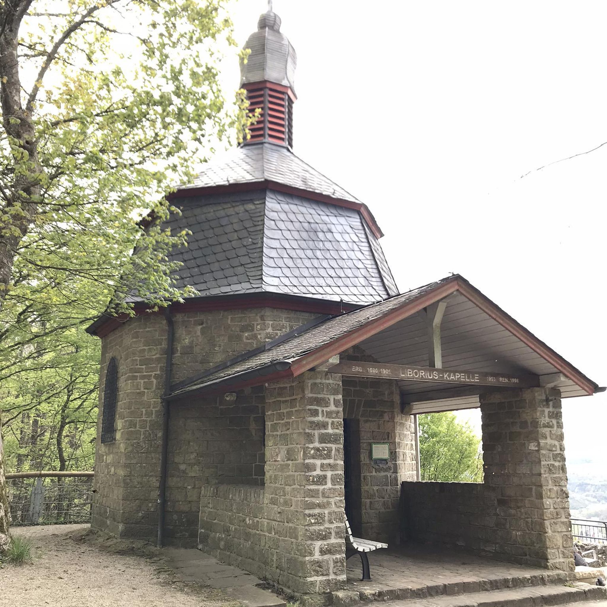
Mountain Hikes around Marckolsheim
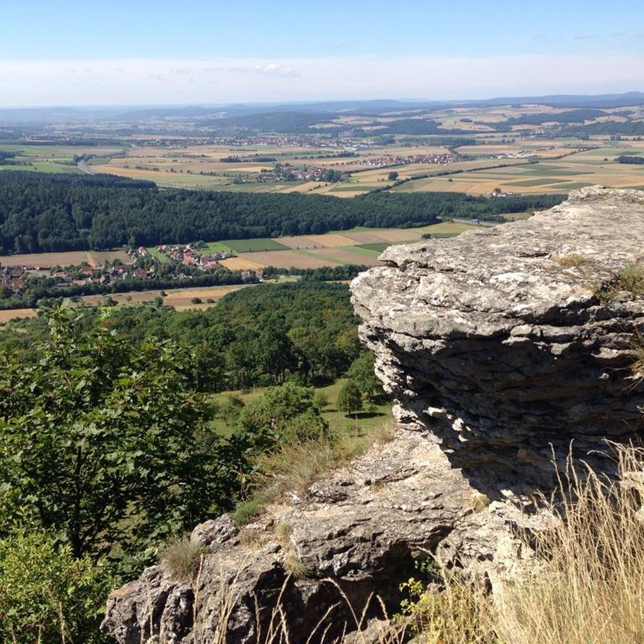
Mountain Hikes around Andlau
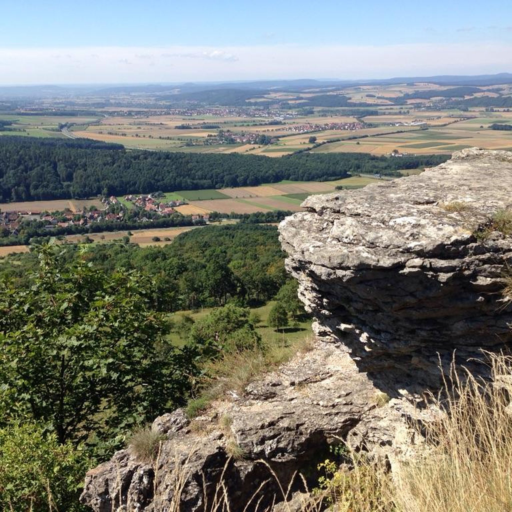
Mountain Hikes around Barr
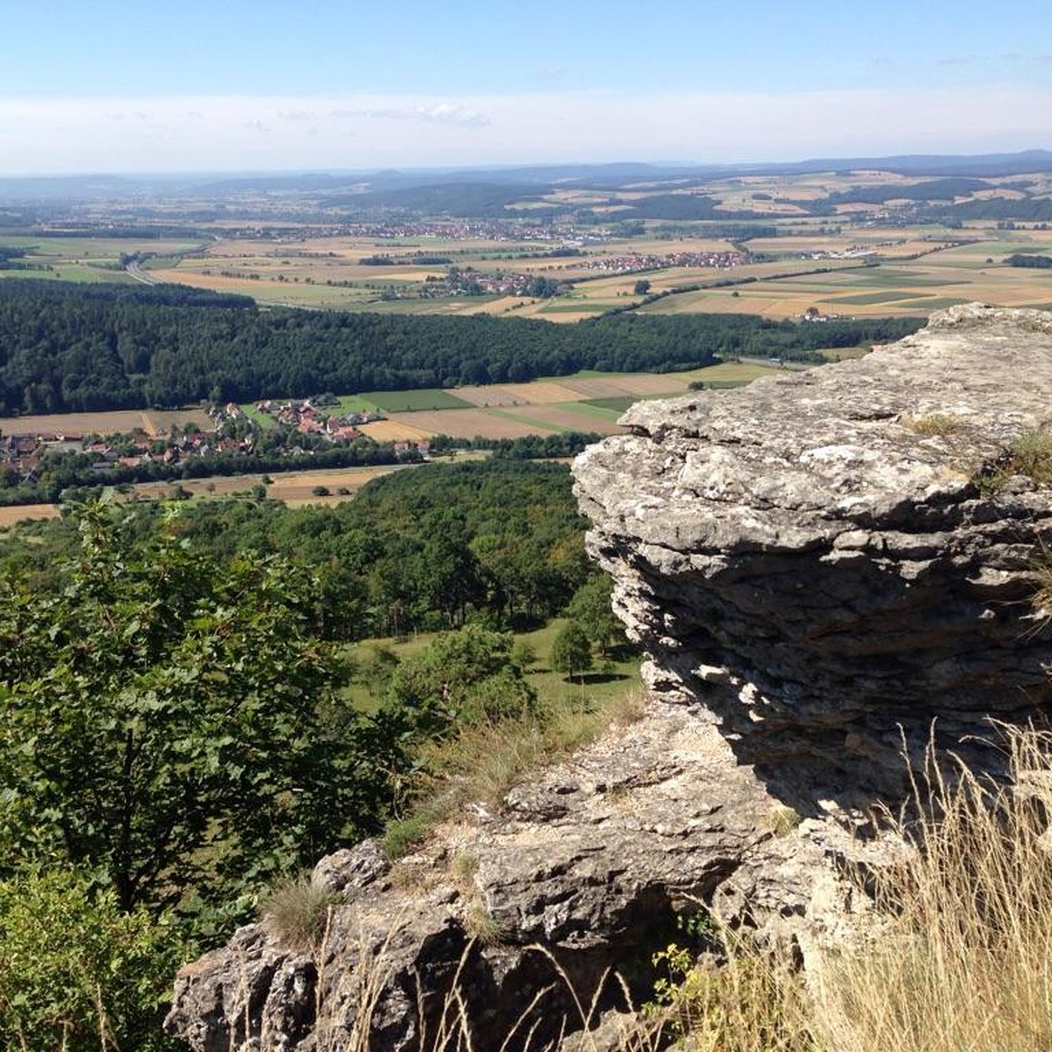
Mountain Hikes around Hohwald
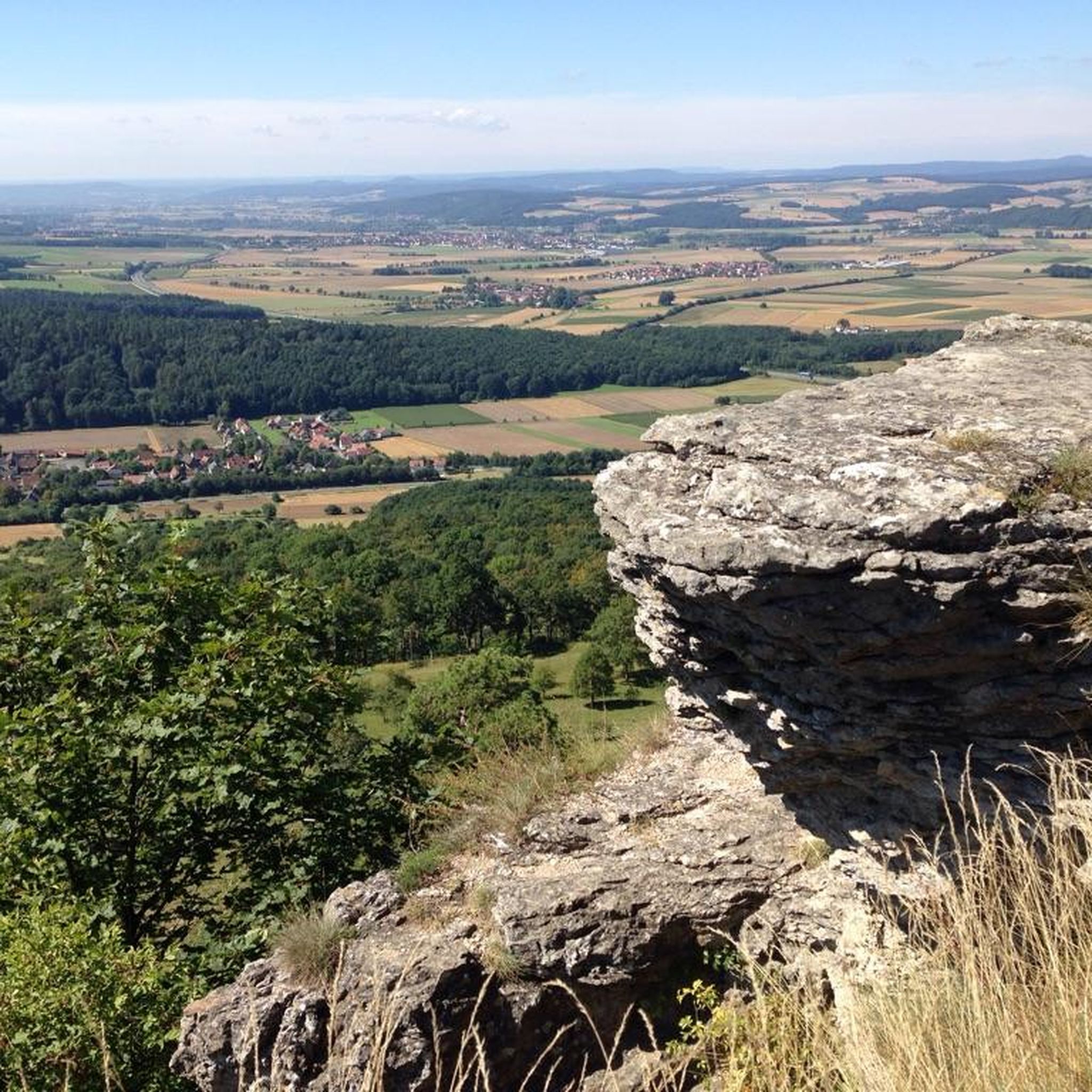
Mountain Hikes around Eichhofen

Sentier de l'Europe (GR 5) – Montbéliard to Abreschviller
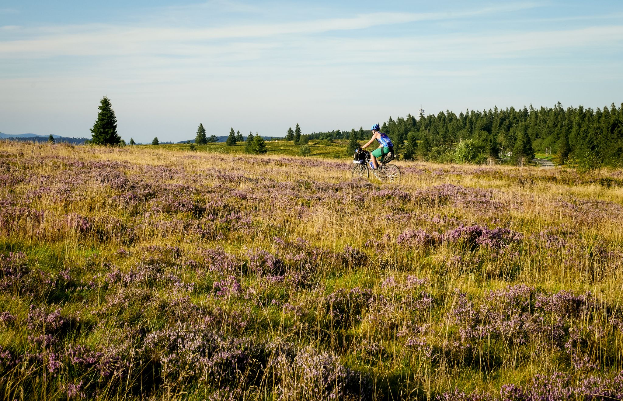
Traversée du Massif Vosgien — Alsace bikepacking
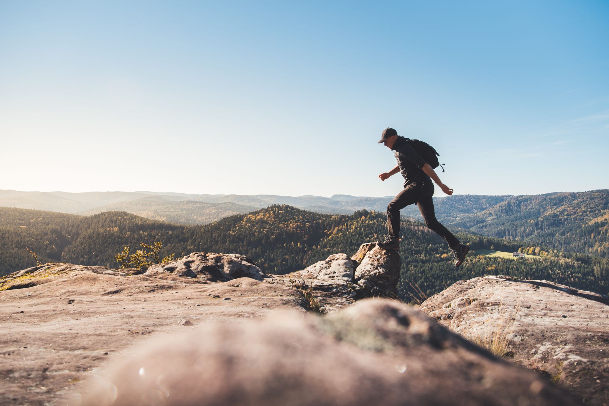
Trail running in the Grand Est – the region's most beautiful hilly trails
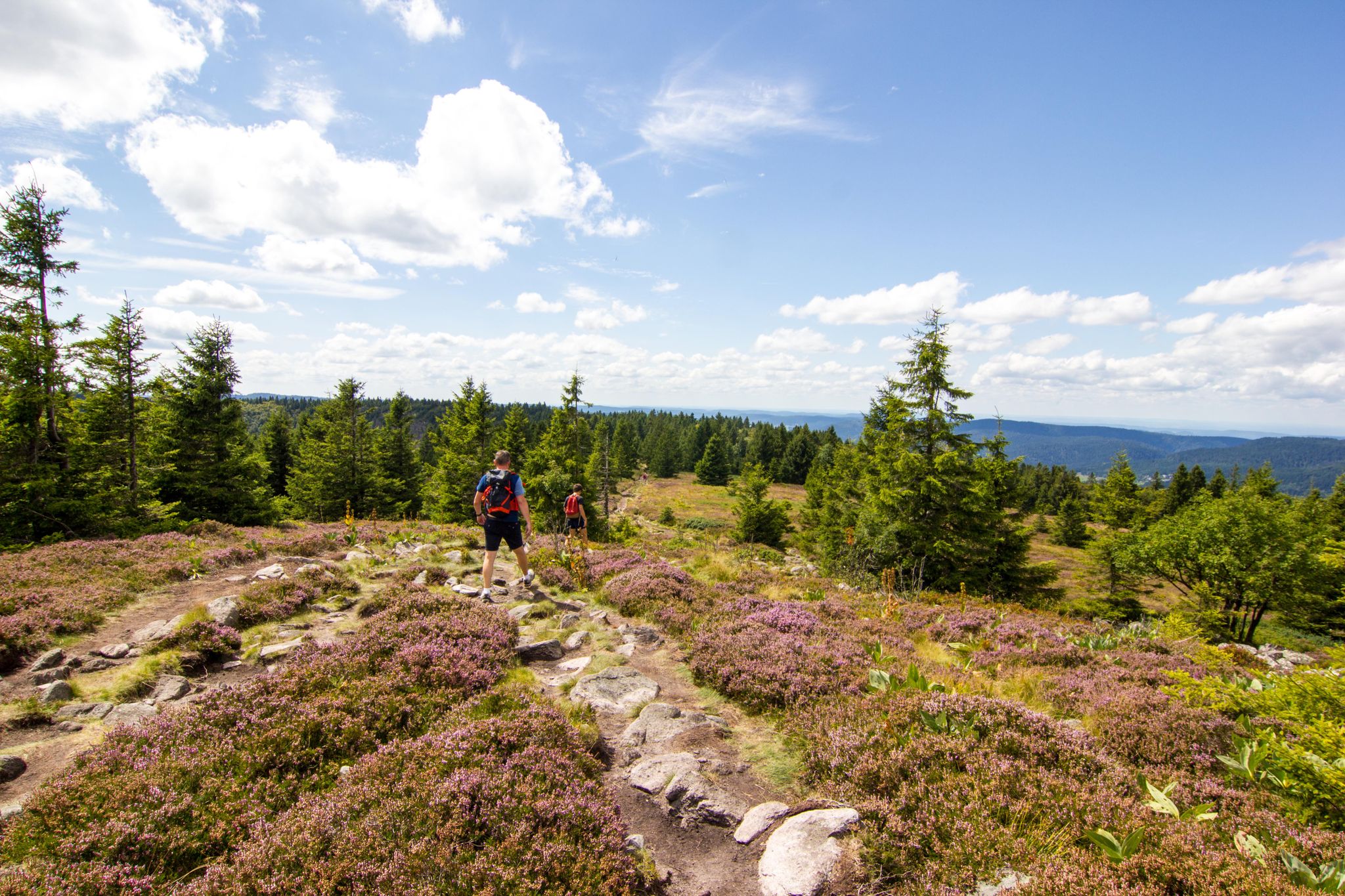
Hiking and relaxation – wellbeing on the Traversée des Vosges
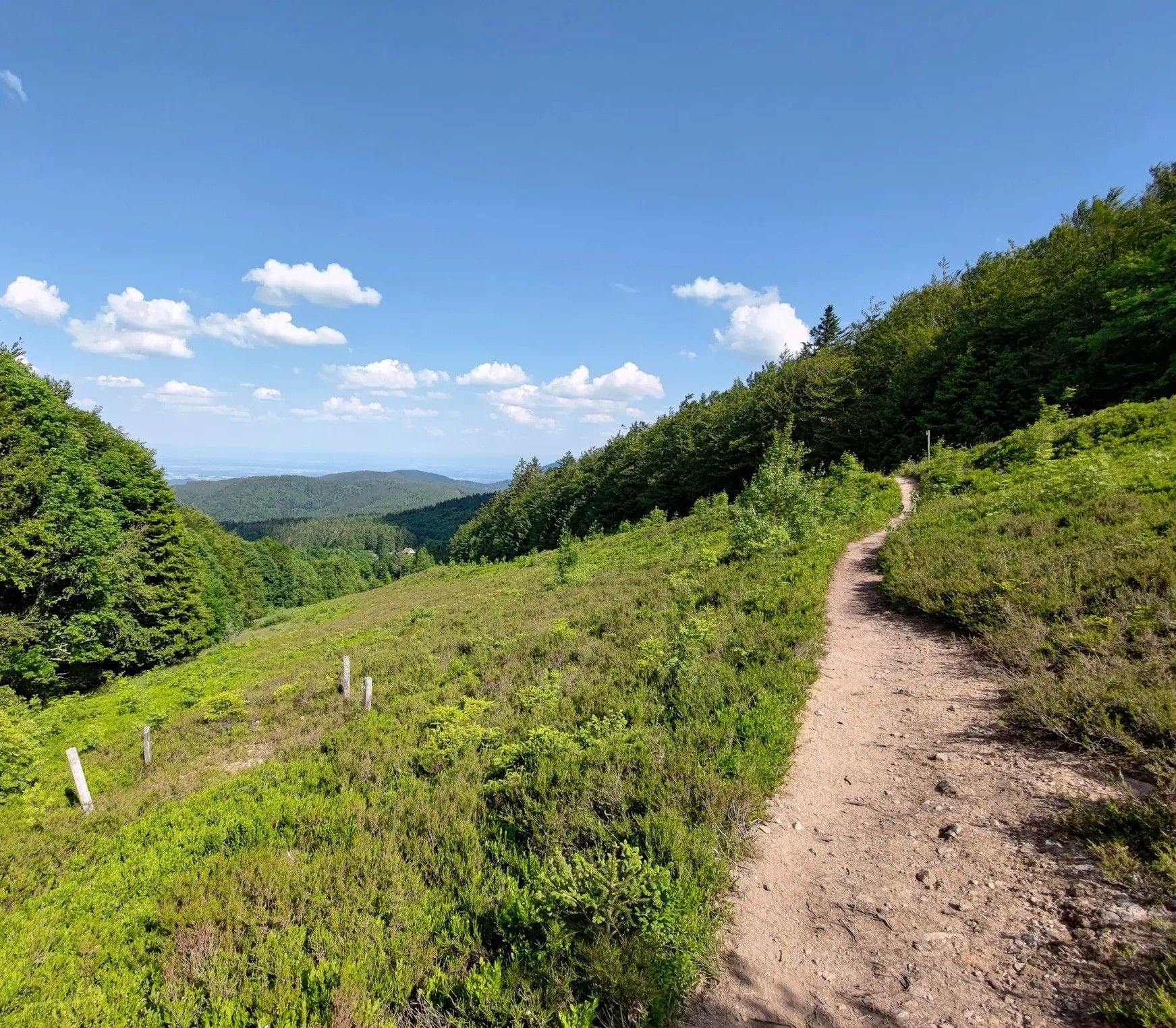
From one slope to the other – Crossing the Champ du Feu
Other adventures around Schlettstadt-Erstein


Tips from the Community

Access to the La Chatte Pendue Nature Reserve is via a metal ladder.
4
0

Beautiful place with a great view over the mountain ridges and the Rhine plain.
0
0

The Odilienberg (763 m) in Alsace is the most important spiritual center of the region. Founded around 690 by Saint Odilia, the monastery attracts hundreds of thousands of pilgrims annually. The centerpiece of the complex is the Basilica of the Assumption of Mary (1687–1692) with the burial chapel, where the relics of the patron saint rest in an 8th-century sandstone sarcophagus. Directly on the panoramic terrace are the Chapel of Tears and the Chapel of Angels (12th century), known for their luminous gold mosaics from 1935. Inside the basilica, there is also a fine wooden inlaid Way of the Cross by Charles Spindler. Below the monastery rocks runs a magnificent hiking trail. It leads past the monumental, colorful ceramic Way of the Cross (14 stations) and the Lourdes Grotto, both integrated directly into the red sandstone by Léon Elchinger in the 1930s. About a 15-minute walk further down, the Odilien spring emerges in the forest, its water traditionally sought for eye ailments. The entire mountain plateau is enclosed by the Heidenmauer, a mysterious, 11-kilometer-long prehistoric defensive wall. Following the hiking trails further south, you reach the Maennelstein (817 m), the highest point of the ridge, which offers a wide panoramic view over the Rhine plain to the Black Forest. The monastery grounds are open all year round and admission is free. Would you like to use this short text for a brochure or are you still looking for information on how to get there for your tour? AI answers may contain errors. For legal advice, you should consult an expert. More information
0
1

The legendary pass on the Kaiserstuhl. A must for every road bike fan
0
0
Champ du Feu, at 1099 meters, is the highest mountain in the Bas-Rhin department of the Vosges in Alsace. It is located between the villages of Belmont and Le Hohwald and consists of an extensive high plateau with forests, meadows, and moorlands. The area is a popular nature and recreational area. In summer, it is mainly used for hiking, mountain biking, and nature observation. In winter, there is a small ski resort with cross-country trails and simple slopes for winter sports. The stream La Serva originates from Champ du Feu and later forms the Cascade de la Serva. In clear weather, the summit offers wide views over the Vosges, the Rhine plain, and as far as the Black Forest. The area is particularly known for its tranquil nature, high moors, sunrises and starry skies, as well as well-marked hiking trails.
0
0
Champ du Feu, at 1099 meters, is the highest mountain in the Bas-Rhin department of the Vosges in Alsace. It lies between the towns of Belmont and Le Hohwald and consists of an extensive high plateau with forests, meadows, and moorlands. The area is a popular nature and recreational area. In summer, it is mainly used for hiking, mountain biking, and nature observation. In winter, there is a small ski area with cross-country trails and simple slopes for winter sports. The brook La Serva originates from Champ du Feu, later forming the Cascade de la Serva. In clear weather, the summit offers wide views over the Vosges, the Rhine plain, and as far as the Black Forest. The area is particularly known for its tranquil nature, high moors, sunrises and starry skies, as well as well-marked hiking trails.
0
0
Ramstein Castle ruins were built in the 13th century as a small fortified castle near Ortenbourg to defend it. Destroyed in the 15th century, they were never rebuilt. Today, only remnants of the walls remain, and the peacefully situated ruins are freely accessible and a popular destination for hikers.
1
0
Frequently Asked Questions
How many mountaineering routes are available around Schlettstadt-Erstein?
There are 9 mountaineering routes available around Schlettstadt-Erstein, primarily located in the nearby Vosges mountains. These routes offer a range of experiences, from moderate ascents to more challenging, longer treks.
What kind of terrain can I expect on mountaineering routes in the Schlettstadt-Erstein region?
The terrain around Schlettstadt-Erstein, particularly in the Vosges mountains, is varied and rugged. You can expect challenging hikes, extensive forest paths, and diverse rock climbing areas featuring gneiss and sandstone formations. Some routes, like the famous Sentier des Roches, even include technical sections with metal staircases and exposed paths.
Are there any easy mountaineering routes suitable for beginners or families?
Yes, there is one easy mountaineering route available. Consider the Château d'Ortenbourg – Château de Ramstein loop from Dieffenthal, which is 4.4 km long and takes about 1 hour 26 minutes. This route offers a gentler introduction to the region's trails while still providing scenic views.
What are some challenging mountaineering routes for experienced hikers?
For experienced mountaineers seeking a challenge, the region offers several demanding options. The Neunlinden Tower – Totenkopf Observation Tower loop from Ohrberg is a difficult 17.7 km route, typically taking over 5 hours. Additionally, the Vosges mountains feature routes like the Sentier des Roches, known for its technical terrain and exposed sections, requiring good fitness and sure-footedness.
Are there any circular mountaineering routes in the area?
Yes, many of the mountaineering routes around Schlettstadt-Erstein are circular, allowing you to start and end at the same point. Examples include the Girsberg Castle – Blick auf Ribeauvillé loop from Ribeauvillé, the Texas Pass (Texaspass) – Weinlauben Street in Oberbergen loop from Oberrotweil, and the Forest Road Through the Vosges – The Hanging Cat loop from Plaine.
What kind of landmarks or attractions can I see along the mountaineering routes?
Many routes offer views of historical sites and natural features. For instance, the Mont Sainte-Odile Abbey – Mount Sainte-Odile loop from Ottrott passes by significant historical sites. You can also explore various castles, such as Bernstein Castle or Ortenbourg Castle, which are often accessible via nearby trails. The region also features mountain passes like Champ du Feu, offering panoramic views.
What do other mountaineers enjoy most about the routes in Schlettstadt-Erstein?
The mountaineering routes in Schlettstadt-Erstein are highly rated by the komoot community, with an average score of 5.0 stars from 5 reviews. Reviewers often praise the challenging terrain of the Vosges mountains, the diverse rock climbing areas, and the extensive forest paths that define the region's outdoor experience.
Are there opportunities for technical climbing or via ferrata in the region?
Yes, the region offers several options for technical climbing. Areas like Falkenstein near Sélestat provide sport climbing on gneiss rock, while the Northern Vosges (e.g., Kronthal) feature numerous routes on sandstone. For a unique experience, there's an underground via ferrata at Tellure in Val d'Argent, and a rando-ferrata near Bussang combining hiking with fixed-cable climbing. For more information on climbing at Steinbach, you can visit visit.alsace.
What is the best time of year for mountaineering in Schlettstadt-Erstein?
The Vosges mountains, being the primary mountaineering area, are generally best explored from spring through autumn. During these seasons, the weather is more stable, and trails are typically free of snow and ice, making for safer and more enjoyable conditions. Winter mountaineering is possible but requires specialized gear and experience due to snow and ice.
Are there any routes that offer great viewpoints?
Absolutely. The Vosges mountains are renowned for their extensive viewpoints. Routes along the legendary Route des Crêtes offer wide panoramas. For a specific example, the Vogelsang Pass Viewpoint – Neunlinden Tower loop from Kaiserstuhl is a moderate route that includes a notable viewpoint, allowing you to take in the scenic beauty of the region.
What are the typical durations and distances for mountaineering routes here?
Mountaineering routes around Schlettstadt-Erstein vary significantly. You can find shorter routes like the Girsberg Castle – Blick auf Ribeauvillé loop from Ribeauvillé, which is about 4.7 km and takes under 2 hours. Longer, more challenging routes, such as the Neunlinden Tower – Totenkopf Observation Tower loop from Ohrberg, can extend to 17.7 km and require over 5 hours to complete.
Most popular routes around Schlettstadt-Erstein
Most popular attractions around Schlettstadt-Erstein

Get inspired with the komoot mobile app


Didn’t find what you were looking for?
Check out more Mountain Hikes & Routes throughout Schlettstadt-Erstein below and find the perfect route in your destination.
Explore more
Browse the best Mountain Hikes & Routes in other regions.
