The best hikes from bus stations around Schlettstadt-Erstein
4.5
(7431)
36,710
hikers
582
hikes
Hiking around Schlettstadt-Erstein offers a diverse landscape for outdoor activities, characterized by its position between the Vosges Mountains, the Rhine plain, and the Alsace Wine Route. The region features extensive hardwood forests, such as the Illwald and Erstein forests, alongside picturesque vineyards and riverine ecosystems like the Rhine-Rhône Canal. Elevations range from flat lowlands to mountainous areas, providing varied terrain for hikers.
Best bus station hiking trails around Schlettstadt-Erstein
- The most popular bus station hiking route is The Hohwald –…
Last updated: July 30, 2026
4.8
(96)
410
hikers
9.88km
02:52
250m
250m
Moderate hike. Good fitness required. Easily-accessible paths. Suitable for all skill levels.
4.8
(79)
273
hikers
13.8km
04:35
530m
530m
Moderate hike. Good fitness required. Mostly accessible paths. Sure-footedness required.

Sign up for free
4.7
(46)
231
hikers
15.1km
04:37
530m
530m
Moderate hike. Good fitness required. Easily-accessible paths. Suitable for all skill levels.
4.4
(37)
206
hikers
11.1km
03:44
530m
530m
Moderate hike. Good fitness required. Easily-accessible paths. Suitable for all skill levels.
4.6
(28)
111
hikers
18.0km
05:34
660m
660m
Hard hike. Very good fitness required. Easily-accessible paths. Suitable for all skill levels.
Get access to more routes and recommendations from other explorers.
Sign up for free
Already have an account?
Our route recommendations are based on thousands of hikes, rides, and runs completed by other people on komoot.
Start today with a free account
Your next adventure awaits.
Login or Signup
Popular around Schlettstadt-Erstein
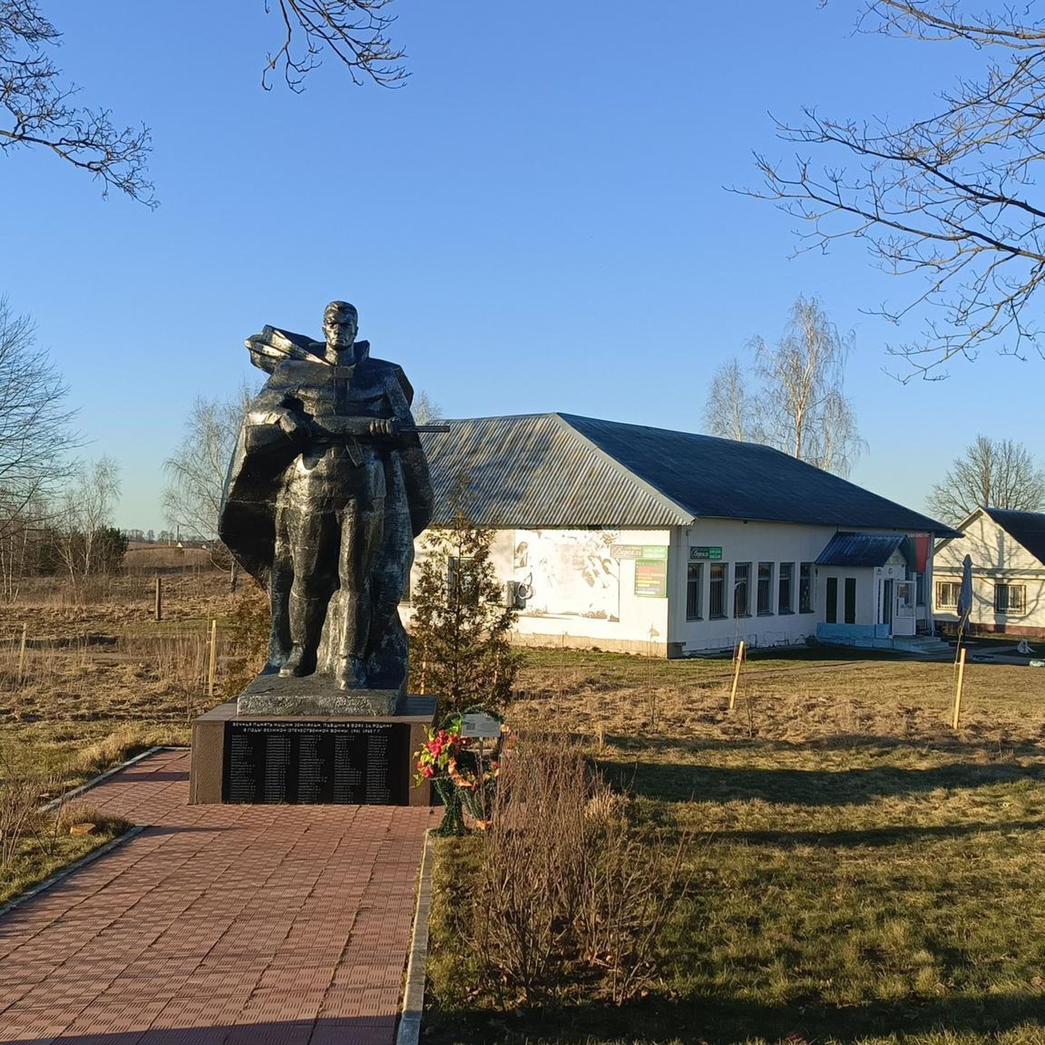
Hikes from bus stations in Réserve Biologique Dirigée De Daubensand
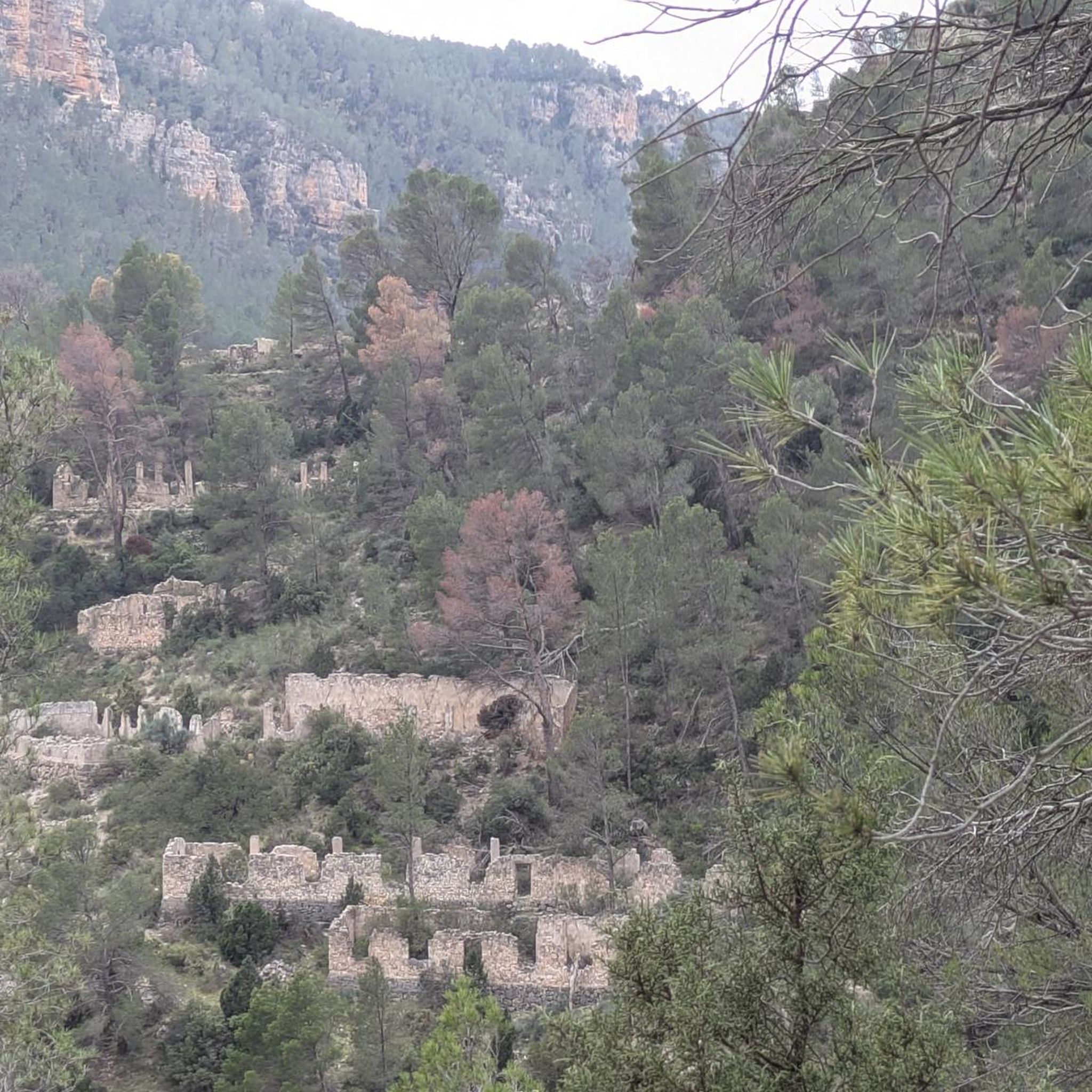
Hikes from bus stations in Réserve Naturelle De L'Île De Rhinau

Hikes from bus stations in Forêt D'Erstein
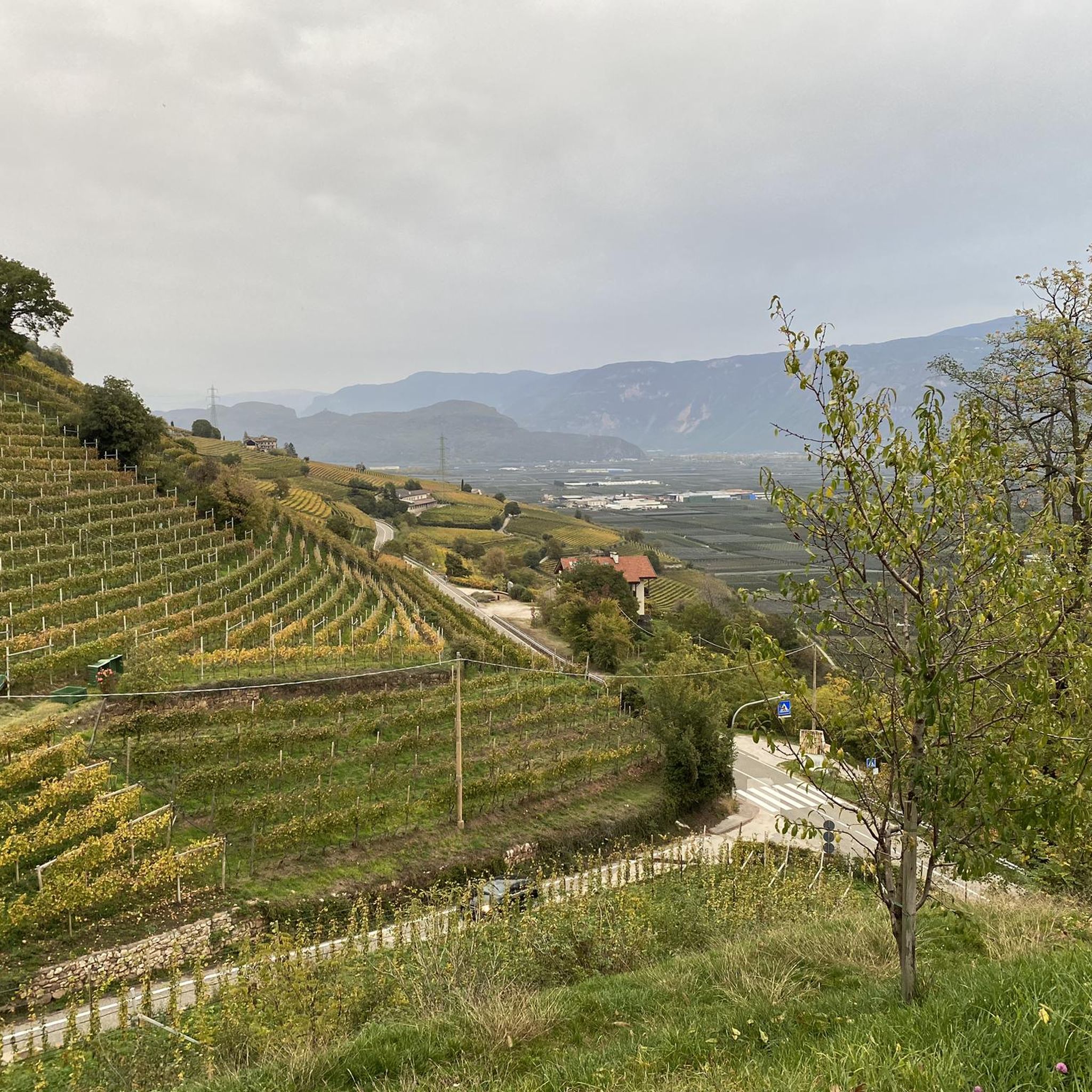
Hikes from bus stations in Forêt De L'Illwald

Hikes from bus stations in Réserve Naturelle Du Ried De Sélestat (Ill*Wald)

Sentier de l'Europe (GR 5) – Montbéliard to Abreschviller
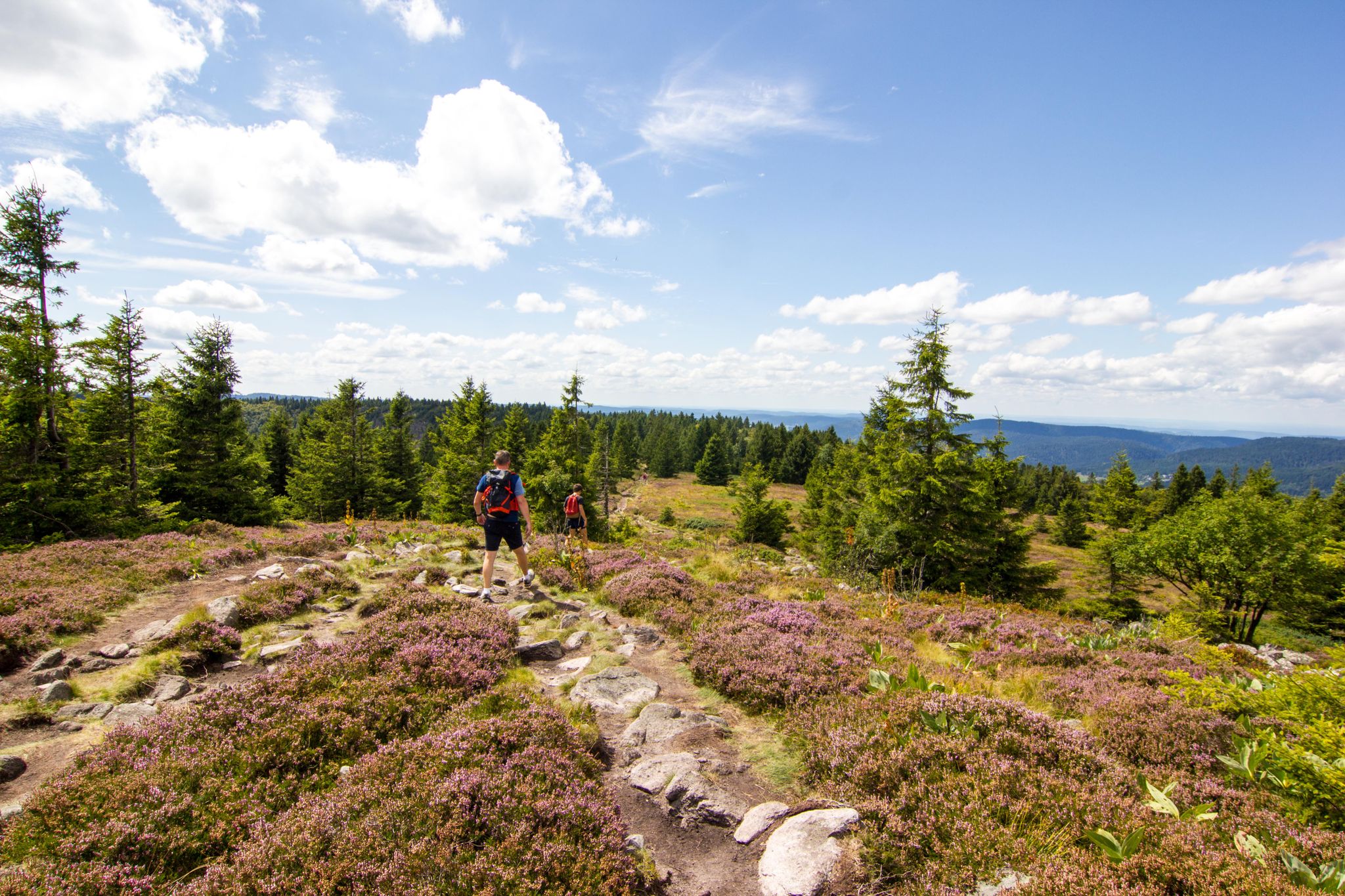
Hiking and relaxation – wellbeing on the Traversée des Vosges
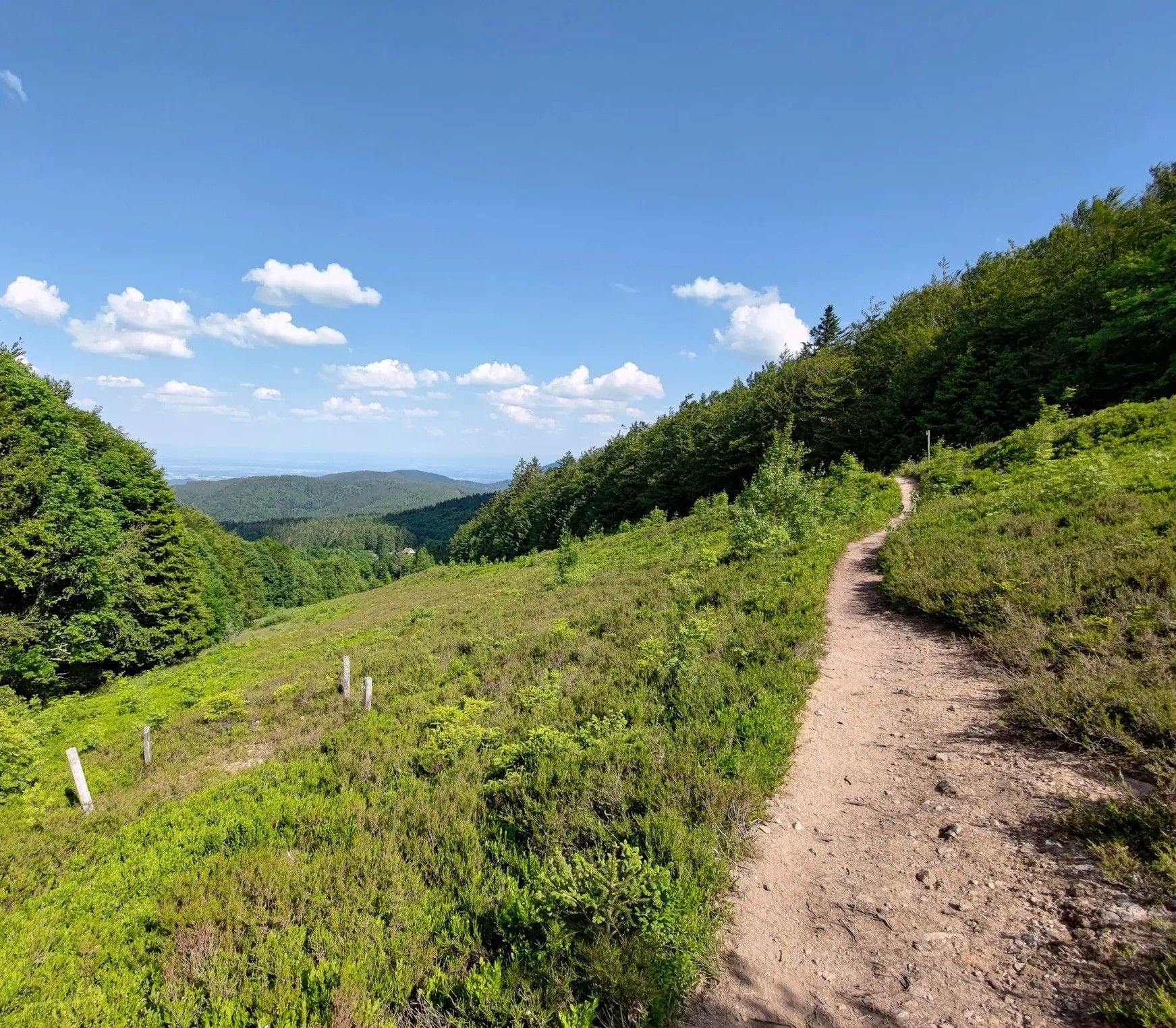
From one slope to the other – Crossing the Champ du Feu

From the Vosges to the Jura mountains – Hexatrek, le Grand Est
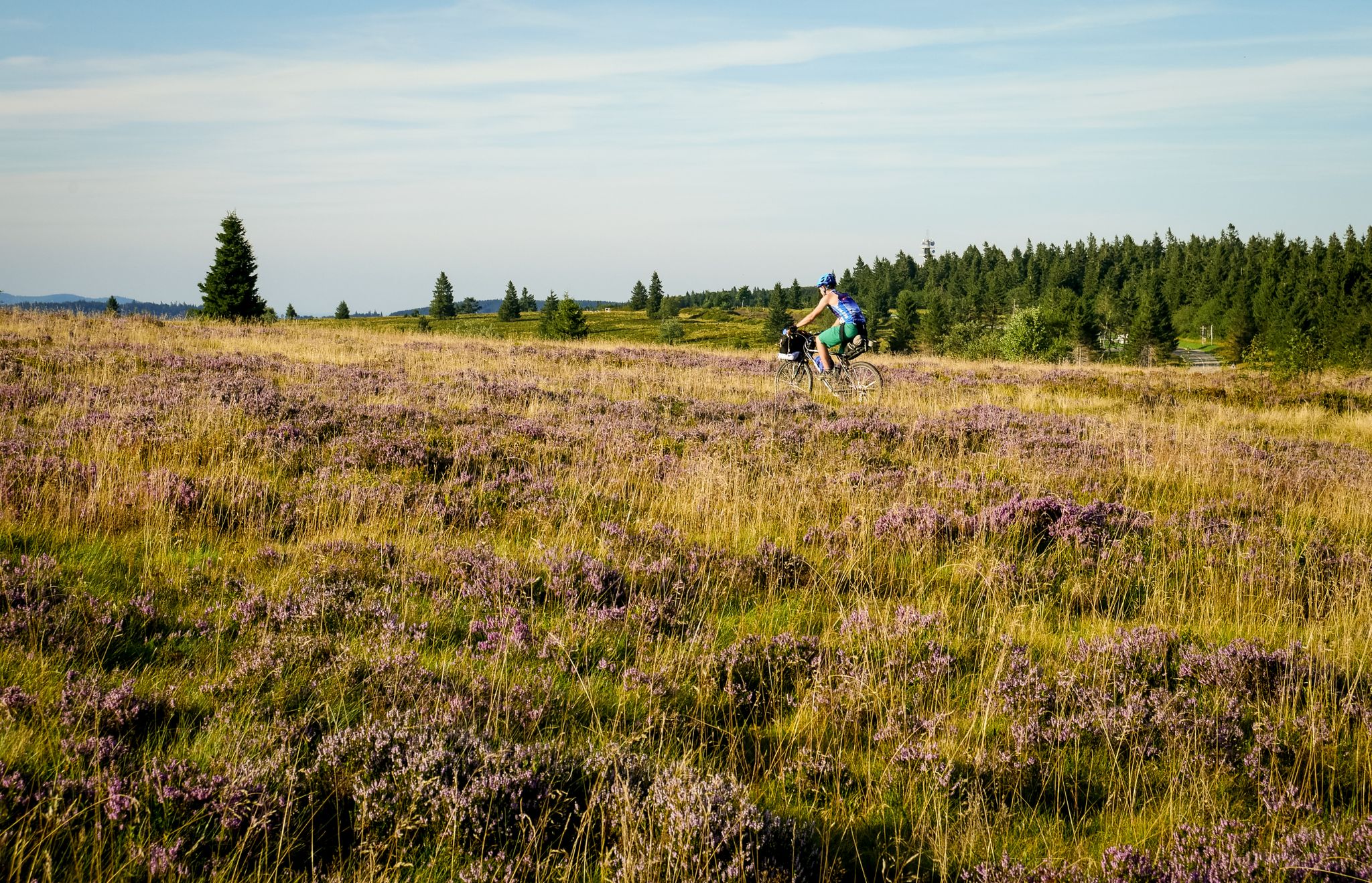
Traversée du Massif Vosgien — Alsace bikepacking
Other adventures around Schlettstadt-Erstein


Tips from the Community

Magnificent waterfall on the edge of the GR5. 🥰
0
0

Champ du Feu, at 1099 meters, is the highest mountain in the Bas-Rhin department of the Vosges in Alsace. It is located between the villages of Belmont and Le Hohwald and consists of an extensive high plateau with forests, meadows, and moorlands. The area is a popular nature and recreational area. In summer, it is mainly used for hiking, mountain biking, and nature observation. In winter, there is a small ski resort with cross-country trails and simple slopes for winter sports. The stream La Serva originates from Champ du Feu and later forms the Cascade de la Serva. In clear weather, the summit offers wide views over the Vosges, the Rhine plain, and as far as the Black Forest. The area is particularly known for its tranquil nature, high moors, sunrises and starry skies, as well as well-marked hiking trails.
0
0


In his meditation on the Stations of the Cross with the Holy Father – on Good Friday 2025 in the Roman Colosseum – Pope Francis, who died on Easter Monday of this year, invited us to let Jesus on the cross look at us. A few short sentences from this meditation seem to me to fit well with the small sacred memorial located here: + “We go our usual ways and you come towards us. Your eyes look into our hearts. (…) Jesus is your name, and truly, ‘God saves’ through you. The God of Abraham who calls, the God of Isaac who cares, the God of Jacob who blesses, the God of Israel who delivers: in your gaze, Lord, … lies a whole revelation. In your footsteps leading out of the city, we see our departure into a new land. You came to change the world: for us, this means changing direction, seeing the good you have left behind, and allowing the memory of your gaze to continue to work in our hearts.” (Pope Francis)
0
0

During the week and outside of the holidays, the crowds are bearable
5
0

One of the most beautiful rooms in the castle. Weapons and armor can be admired here.
10
0
Frequently Asked Questions
How many bus station hiking trails are available in Schlettstadt-Erstein?
There are over 560 hiking routes accessible from bus stations around Schlettstadt-Erstein. This includes more than 200 easy trails, over 300 moderate options, and around 50 more challenging routes, ensuring a suitable hike for every fitness level.
Are there any easy, family-friendly hikes accessible by bus?
Yes, the region offers many easy trails perfect for families. For example, the View of Obernai – View of the Meadow loop from Obernai is an easy 6.6 km route with gentle elevation, ideal for a relaxed outing. The flat terrain of the Illwald Forest, known for its diverse wildlife, also provides excellent family-friendly walking opportunities.
Can I find circular hiking routes starting from bus stops?
Absolutely. Many trails in Schlettstadt-Erstein are designed as circular routes, allowing you to start and end your hike at the same bus stop. An example is The Hohwald – Kreuzweg Pass loop from Le Hohwald, a moderate 9.9 km circular trail offering varied scenery.
Are there any trails with waterfalls accessible by public transport?
Yes, the region is home to beautiful waterfalls. You can explore trails that lead to the Hohwald waterfall, a notable natural monument. While we don't have a specific bus-accessible route to it in this guide, the Hohwald waterfall itself is a popular highlight in the area, often featured in local loops.
What kind of natural attractions can I expect to see along these bus-accessible trails?
Schlettstadt-Erstein's bus-accessible trails offer a rich variety of natural attractions. You might encounter the unique ecosystem of the Illwald Forest with its ancient river arms and wildlife, or explore the protected alluvial forest of the Réserve Naturelle Nationale de la Forêt d'Erstein. Other natural highlights include the Champ du Feu summit, the Rocher des Celtes, and the Île de Rhinau Nature Reserve.
Are there any historical landmarks or castles along the hiking routes?
The region is rich in history and features several impressive castles. While not all are directly on bus-accessible routes, some trails offer views or lead close to historical sites. For instance, the Château du Haut-Kœnigsbourg – Orschwiller Vineyards loop from Orschwiller provides stunning views of the iconic Haut-Koenigsbourg Castle and winds through picturesque vineyards. You can also find trails near ruins like Bernstein Castle and Ortenbourg Castle, which offer panoramic vistas.
What do other hikers enjoy most about hiking in Schlettstadt-Erstein?
The komoot community highly rates the hiking experience in Schlettstadt-Erstein, with an average score of 4.5 stars from over 6,300 ratings. Hikers frequently praise the diverse landscapes, from dense forests and vineyards to mountain views, as well as the well-marked trails and the accessibility of many routes via public transport.
Are there any longer or more challenging bus-accessible hikes?
Yes, for those seeking a greater challenge, there are longer and more strenuous options. The Champ du Feu Monoliths – Kreuzweg Pass loop from Le Hohwald is a moderate 15.3 km route with significant elevation gain, offering a rewarding experience through mountainous terrain.
Can I hike through vineyards from a bus station?
Yes, the Alsace Wine Route winds through enchanting hillsides and picturesque vineyard landscapes. Some bus-accessible trails, such as the Château du Haut-Kœnigsbourg – Orschwiller Vineyards loop from Orschwiller, allow you to immerse yourself in this unique scenery, offering a blend of natural beauty and cultural exploration.
What is the best time of year to hike in Schlettstadt-Erstein?
Schlettstadt-Erstein offers great hiking opportunities throughout the year. Spring brings blooming flora, while autumn showcases vibrant fall foliage, especially in the vineyards and forests. Summer provides lush greenery and shade along routes like the Rhine-Rhône Canal, though some mountain trails can be enjoyed in winter, weather permitting, for a different experience.
Are there any trails that lead to mountain passes?
Yes, the region's proximity to the Vosges Mountains means you can find trails that lead to scenic mountain passes. For example, the The Hohwald – Kreuzweg Pass loop from Le Hohwald includes the Kreuzweg Pass, offering elevated views and a sense of accomplishment.
Most popular routes around Schlettstadt-Erstein
Most popular attractions around Schlettstadt-Erstein

Get inspired with the komoot mobile app


Didn’t find what you were looking for?
Check out more Hikes throughout Schlettstadt-Erstein below and find the perfect route in your destination.
Explore more
Browse the best Hikes in other regions.
