The best waterfall hikes and walks around Schlettstadt-Erstein
4.5
(7964)
38,678
hikers
58
hikes
Waterfall hiking trails around Schlettstadt-Erstein are situated in the Grand Est region of France, nestled between the Vosges Mountains and the Rhine plain. The landscape features diverse terrain, including dense forests, riverine environments, and rolling foothills. The area is characterized by its natural waterways, which contribute to the formation of numerous waterfalls.
Best waterfall hiking trails around Schlettstadt-Erstein
- The most popular waterfall hiking route is Hohwald Waterfall Loop via GR 5, a 3.0 miles (4.9 km) trail that takes 1 hour 24 minutes to complete. This easy route features the Andlau Waterfall and winds through dense forests.
- Another top favourite among local hikers is Hohwald Waterfall Loop, a moderate 5.4 miles (8.8 km) path. This trail offers a longer exploration of the Hohwald area, passing by the Cascade du Hohwald.
- Local hikers also love the Hohwald waterfall – The Hohwald loop from Breitenbach, a 3.6 miles (5.7 km) trail leading through forested terrain, often completed in about 1 hour 40 minutes.
- Hiking around Schlettstadt-Erstein is defined by its Vosges mountain foothills, Rhine plain forests, and numerous waterways. The network offers options for various ability levels, from easy forest walks to more challenging moderate routes.
- The routes in Schlettstadt-Erstein are highly rated by the komoot community with an average score of 4.5 stars from over 6,200 reviews. More than 32,000 hikers have used komoot to explore Schlettstadt-Erstein's varied terrain.
Last updated: September 27, 2026
4.7
(233)
793
hikers
4.86km
01:24
120m
120m
Hike the easy Hohwald Waterfall Loop via GR 5, a 3.0-mile route through dense forests to the beautiful Andlau Waterfall.
4.6
(101)
475
hikers
8.75km
02:32
220m
220m
Hike the moderate 5.4-mile (8.8 km) Cascade du Hohwald loop from Le Hohwald, featuring a beautiful waterfall and dense forest scenery.

4.8
(114)
469
hikers
9.88km
02:52
250m
250m
Moderate hike. Good fitness required. Easily-accessible paths. Suitable for all skill levels.
4.9
(9)
117
hikers
Moderate hike. Good fitness required. Mostly accessible paths. Sure-footedness required.
4.7
(19)
71
hikers
13.3km
04:05
470m
480m
Moderate hike. Good fitness required. Easily-accessible paths. Suitable for all skill levels.
Get access to more routes and recommendations from other explorers.
Already have an account?
Our route recommendations are based on thousands of hikes, rides, and runs completed by other people on komoot.
Start today with a free account
Your next adventure awaits.
Popular around Schlettstadt-Erstein

Sentier de l'Europe (GR 5) – Montbéliard to Abreschviller
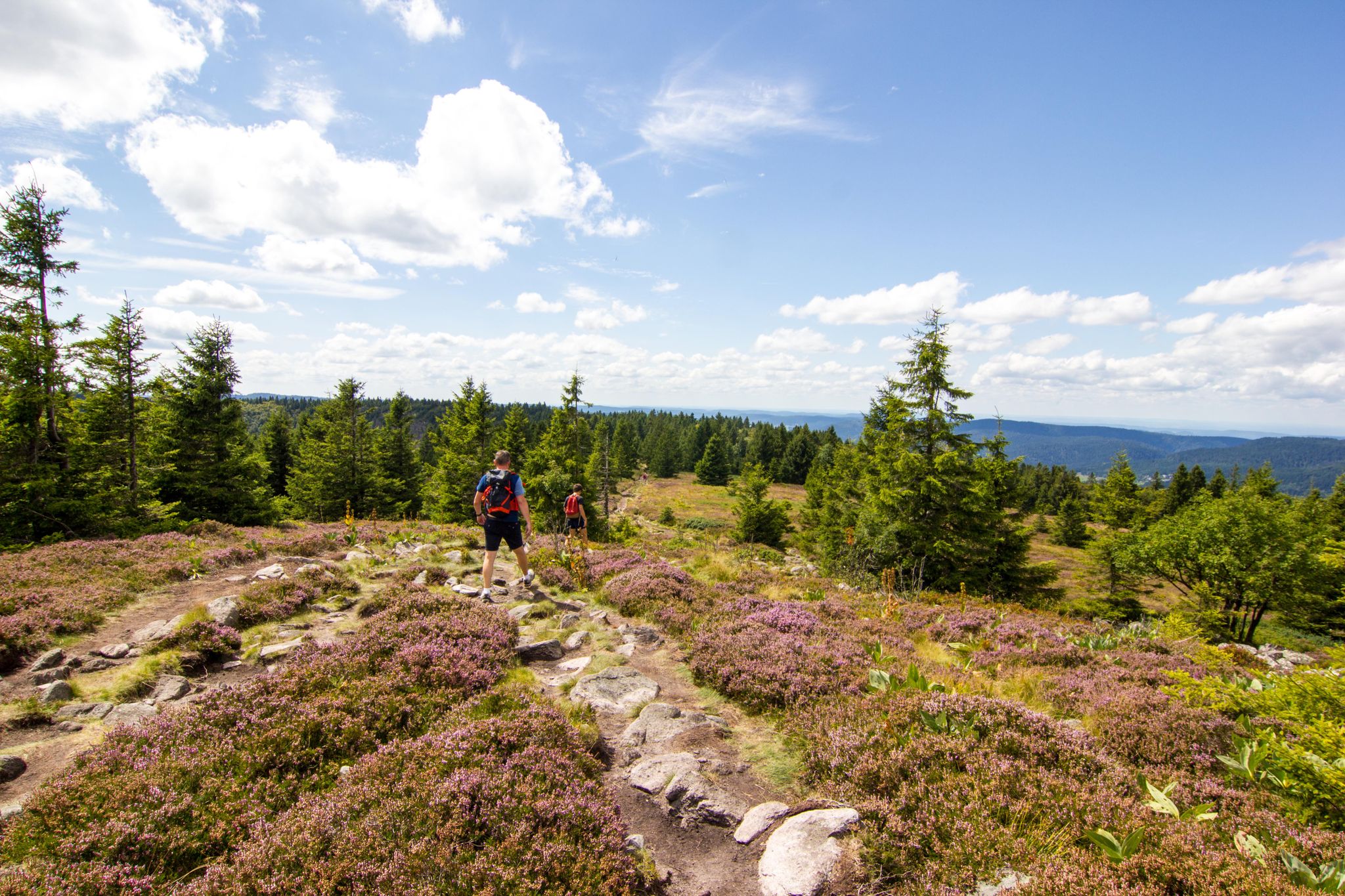
Hiking and relaxation – wellbeing on the Traversée des Vosges
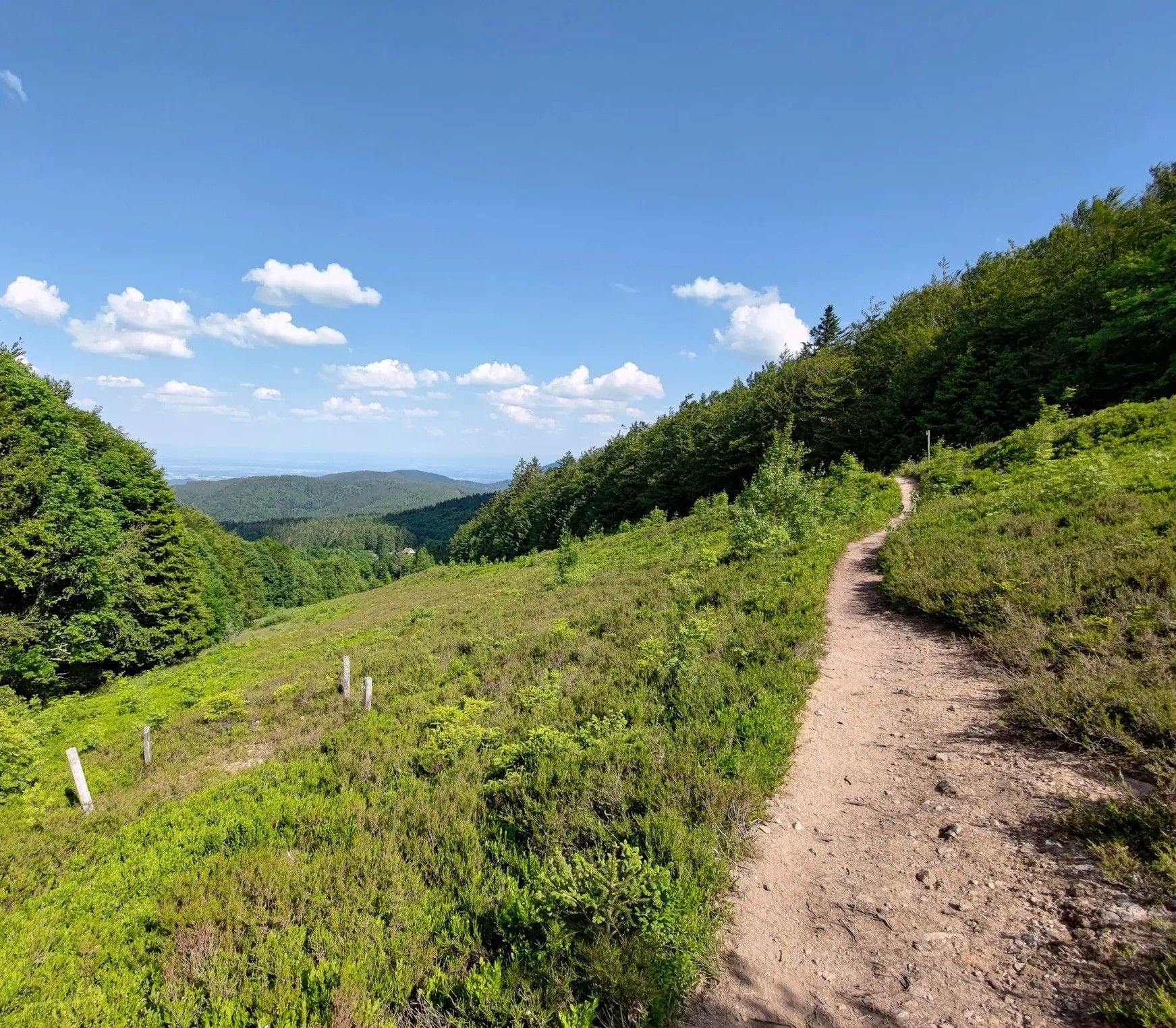
From one slope to the other – Crossing the Champ du Feu

From the Vosges to the Jura mountains – Hexatrek, le Grand Est
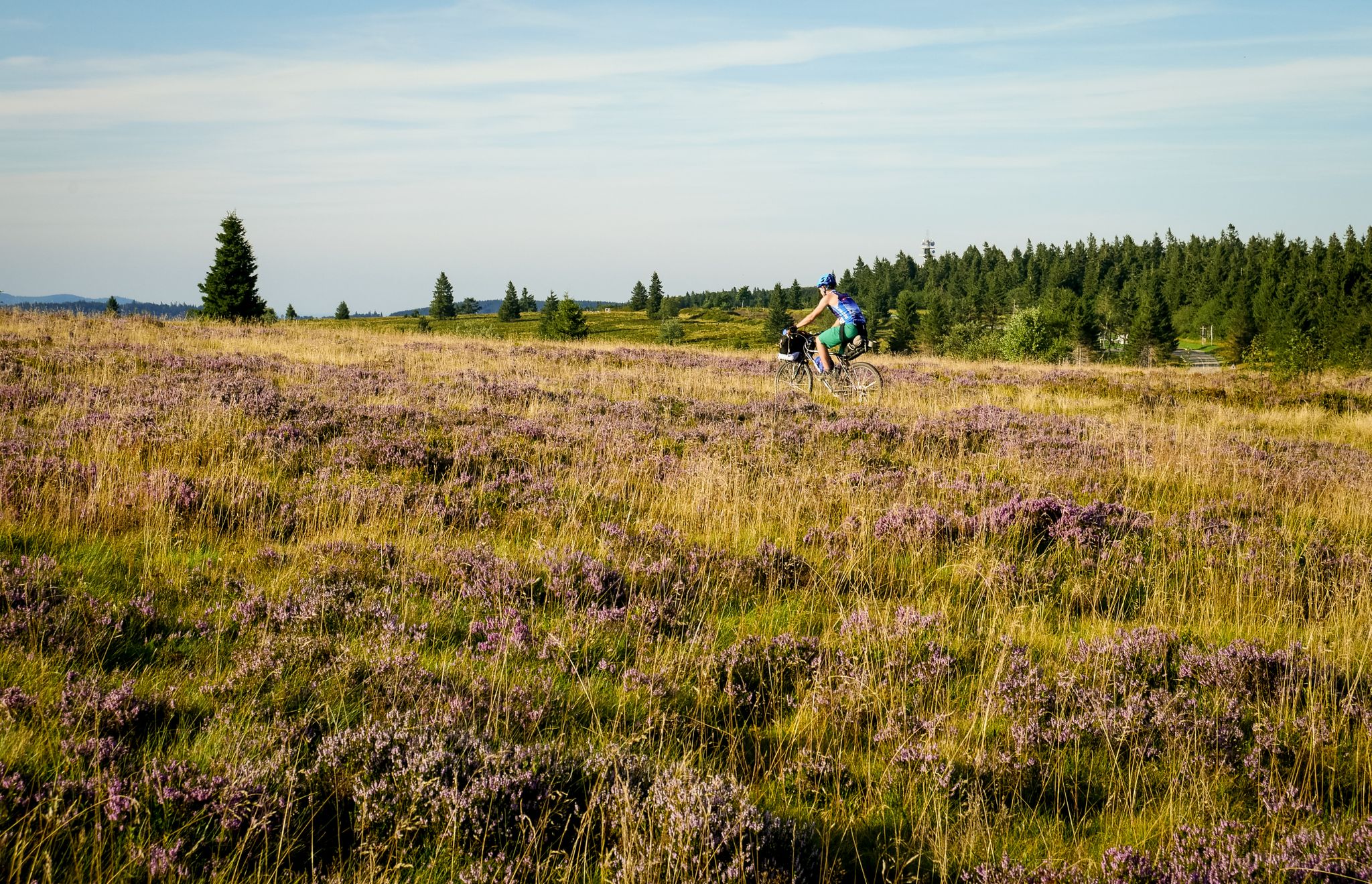
Traversée du Massif Vosgien — Alsace bikepacking
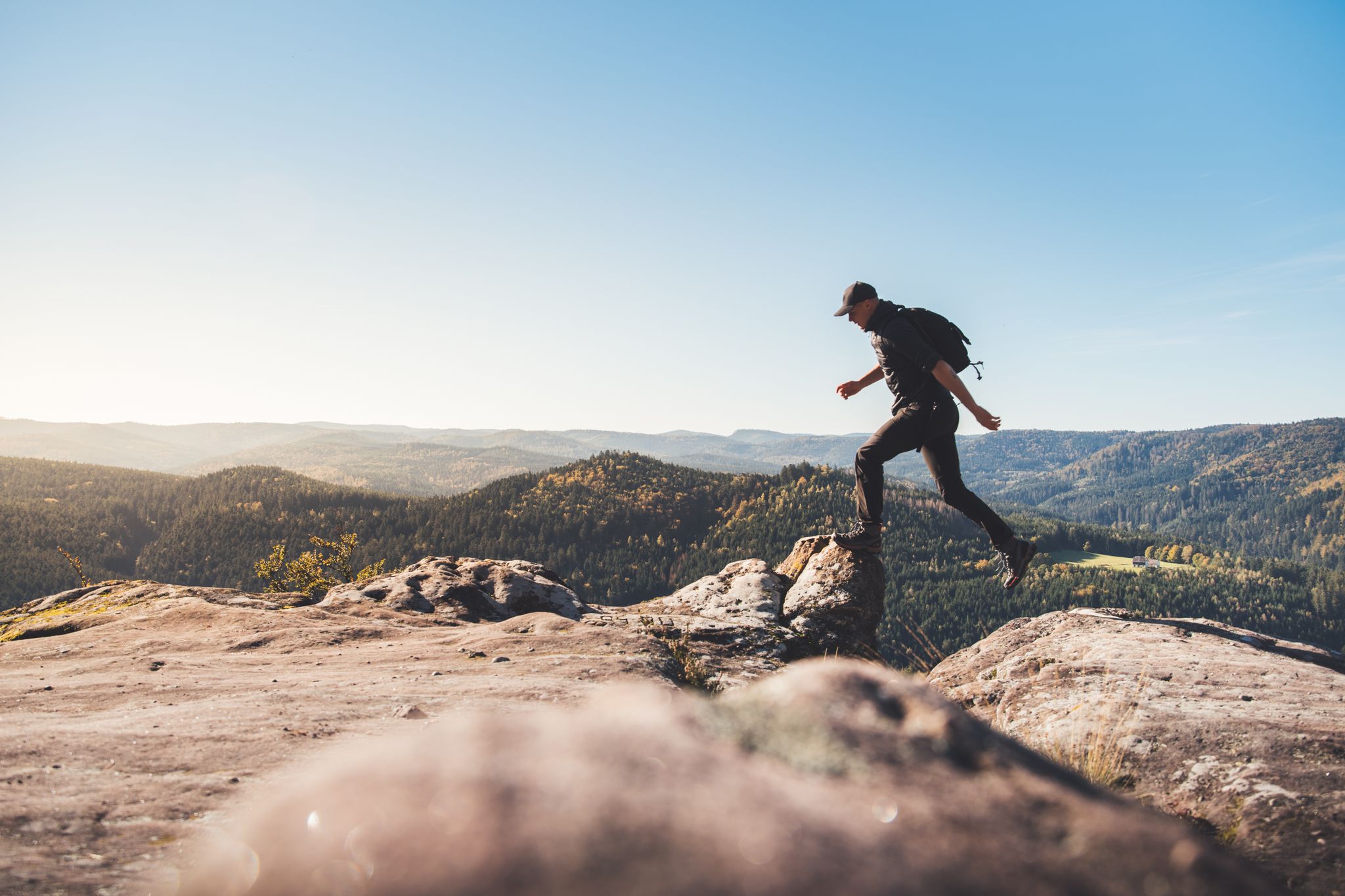
Trail running in the Grand Est – the region's most beautiful hilly trails
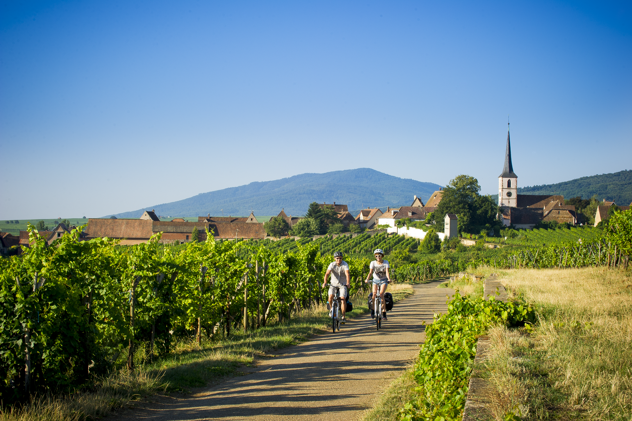
Cycle route of the Vignoble d'Alsace
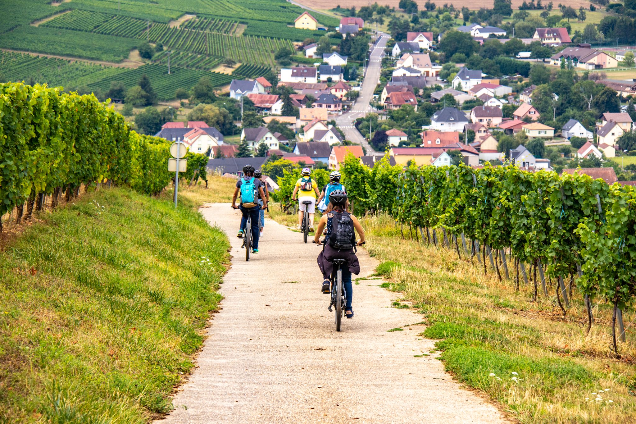
EuroVelo 5 - Via Romea (Moselle - Alsace)
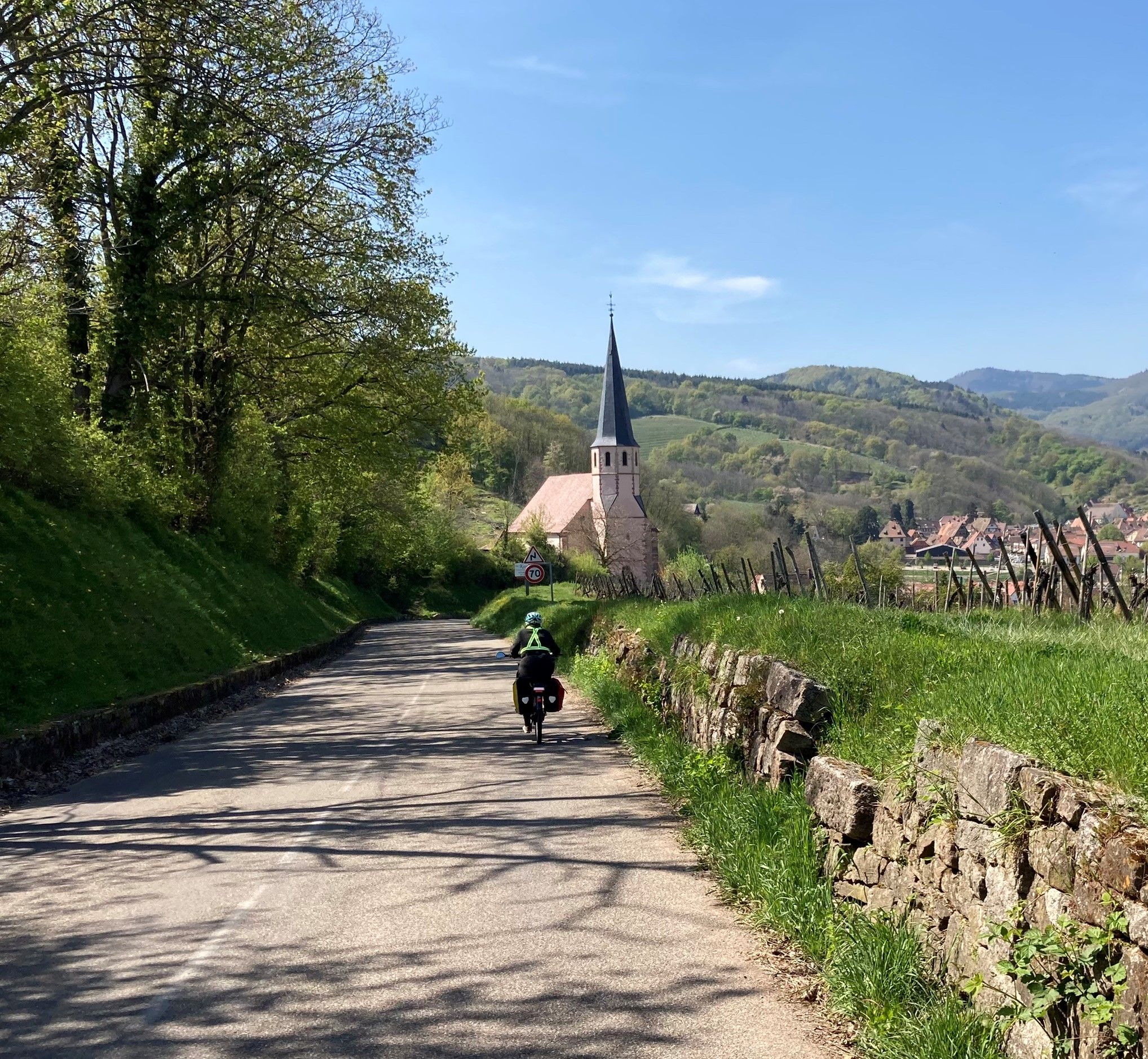
The Via Romea Francigena in Alsace-Moselle – EuroVelo 5
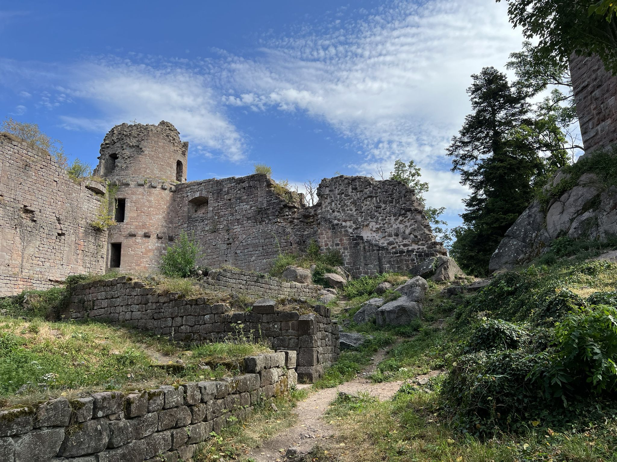
The Ultra-Trail des Chevaliers – Trail Alsace Grand Est by UTMB
Other adventures around Schlettstadt-Erstein


Tips from the Community

Magnificent waterfall on the edge of the GR5. 🥰
0
0

Below the Kreuzweg parking lot you will find the Auberge le Kreuzweg. Coming from above, on the right. Komoot pushed the location to the wrong side for me 🥳 Amazingly delicious food in a great location with super friendly service. Everything freshly prepared and home-cooked. Absolute top recommendation 😋🥰
0
0


The trail to the waterfall is very nice. If you're mountain biking, you should avoid the waterfall on warm weekends and holidays, as there are a lot of pedestrians around.
1
0
Frequently Asked Questions
How many waterfall hiking trails are there around Schlettstadt-Erstein?
The Schlettstadt-Erstein region offers a wide selection of waterfall hiking trails, with over 60 routes available. These trails cater to various fitness levels, from easy strolls to more challenging hikes through the diverse landscapes.
What do hikers enjoy most about the waterfall trails in Schlettstadt-Erstein?
The komoot community highly rates the waterfall trails in Schlettstadt-Erstein, with an average score of 4.5 stars from over 6,200 reviews. Hikers frequently praise the region's natural beauty, the refreshing presence of waterfalls, and the well-maintained paths that wind through dense forests and picturesque landscapes.
Are there easy waterfall hikes suitable for beginners or families with children?
Yes, the region has many easy waterfall hikes perfect for beginners or families. For instance, the Hohwald Waterfall Loop via GR 5 is an easy 4.9 km (3.0 miles) trail that takes about 1 hour 24 minutes to complete, featuring the beautiful Andlau Waterfall. These trails often have gentle inclines and well-marked paths.
Can I find longer, more challenging waterfall hikes in the region?
Absolutely. For those seeking a longer adventure, the Hohwald Waterfall Loop offers a moderate 8.8 km (5.4 miles) path, allowing for a more extensive exploration of the Hohwald area and its cascades. There are also 9 difficult routes for experienced hikers.
Are there any circular waterfall walks available?
Yes, many waterfall trails in the region are designed as circular routes, allowing you to start and end at the same point. The Hohwald waterfall – The Hohwald loop from Breitenbach is a popular 5.7 km (3.6 miles) circular trail through forested terrain, perfect for a scenic loop.
When is the best time of year to visit the waterfalls in Schlettstadt-Erstein?
The best time to visit the waterfalls is typically during spring (April to June) when snowmelt and spring rains ensure a strong water flow, making the cascades particularly impressive. Autumn (September to October) also offers beautiful scenery with vibrant fall foliage, though water levels might be lower. Summer can be pleasant, but some smaller waterfalls might have reduced flow.
What other natural attractions can I explore near the waterfall trails?
Beyond the waterfalls, the region boasts diverse natural beauty. You can explore the expansive Illwald Nature Reserve near Sélestat, home to fallow deer and various bird species. The Vosges Mountains provide a stunning backdrop, and the Rhine Plain offers unique riverine environments. The Ried, characterized by its waterways, is also great for nature observation.
Are there any historical sites or landmarks close to the waterfall hiking areas?
Yes, the region is rich in history. You can combine your waterfall hike with a visit to majestic castles. Nearby attractions include Bernstein Castle, Andlau Castle, and Ortenbourg Castle. The famous Château du Haut-Koenigsbourg is also within reach, offering breathtaking panoramic views.
Is parking available near the waterfall trailheads?
Parking is generally available near the popular waterfall trailheads, especially in areas like Le Hohwald. Look for designated parking lots at the start of major routes. It's always a good idea to check specific route details on komoot for parking information before you go.
Can I bring my dog on waterfall hikes in this area?
Many trails in the Schlettstadt-Erstein region are dog-friendly, allowing you to enjoy the waterfalls with your canine companion. However, it's always recommended to keep your dog on a leash, especially in nature reserves or areas with wildlife, and to check for any specific local regulations or signage on individual trails.
Are there cafes or restaurants near the waterfall hiking areas?
Yes, you'll find charming cafes and restaurants in the villages and towns close to the waterfall hiking areas, such as Le Hohwald. These establishments offer opportunities to refuel with local cuisine or enjoy a refreshing drink after your hike. Some trails, like those along the Canal du Rhône au Rhin, even feature cozy restaurants directly along the path.
What are the trail conditions like after rain?
After rain, trails can become muddy and slippery, especially on steeper sections or paths with natural surfaces. Waterfalls will typically have a stronger flow, which can be impressive, but caution is advised on wet rocks and uneven terrain. Wearing appropriate waterproof footwear with good grip is highly recommended.
Most popular routes around Schlettstadt-Erstein
Most popular attractions around Schlettstadt-Erstein

Get inspired with the komoot mobile app


Explore more
Browse the best Hikes in other regions.
