The best mountain hikes in the Tannheimer Tal
4.8
(1690)
9,695
hikers
178
hikes
Mountaineering in the Tannheimer Tal is characterized by its diverse landscapes, featuring expansive high-altitude meadows nestled between rugged limestone rock faces of the Allgäu Alps. The region includes clear alpine lakes such as Vilsalpsee and Haldensee, alongside prominent peaks like Gimpel, Hochwiesler, and Rote Flüh. These natural features provide a range of challenging rock formations and varied terrain for mountaineering activities.
Best mountaineering routes in the Tannheimer Tal
- The most popular mountaineering route is Vilsalp Lake – Landsberger Hut loop…
Last updated: November 15, 2026
4.9
(98)
389
hikers
17.1km
07:28
950m
950m
Hard mountaineering route. Very good fitness required. Sure-footedness, sturdy shoes and alpine experience required.
4.7
(125)
783
hikers
9.33km
05:17
940m
940m
Hard mountaineering route. Very good fitness required. Sure-footedness, sturdy shoes and alpine experience required.

4.9
(82)
480
hikers
17.3km
07:56
1,220m
1,220m
Hard mountaineering route. Very good fitness required. Sure-footedness, sturdy shoes and alpine experience required.
4.9
(79)
478
hikers
12.7km
06:22
930m
930m
Hard mountaineering route. Very good fitness required. Sure-footedness, sturdy shoes and alpine experience required.
4.7
(103)
615
hikers
7.00km
03:49
690m
690m
Hard mountaineering route. Good fitness required. Sure-footedness, sturdy shoes and alpine experience required.
Get access to more routes and recommendations from other explorers.
Already have an account?
Our route recommendations are based on thousands of hikes, rides, and runs completed by other people on komoot.
Start today with a free account
Your next adventure awaits.
Popular around Tannheimer Tal
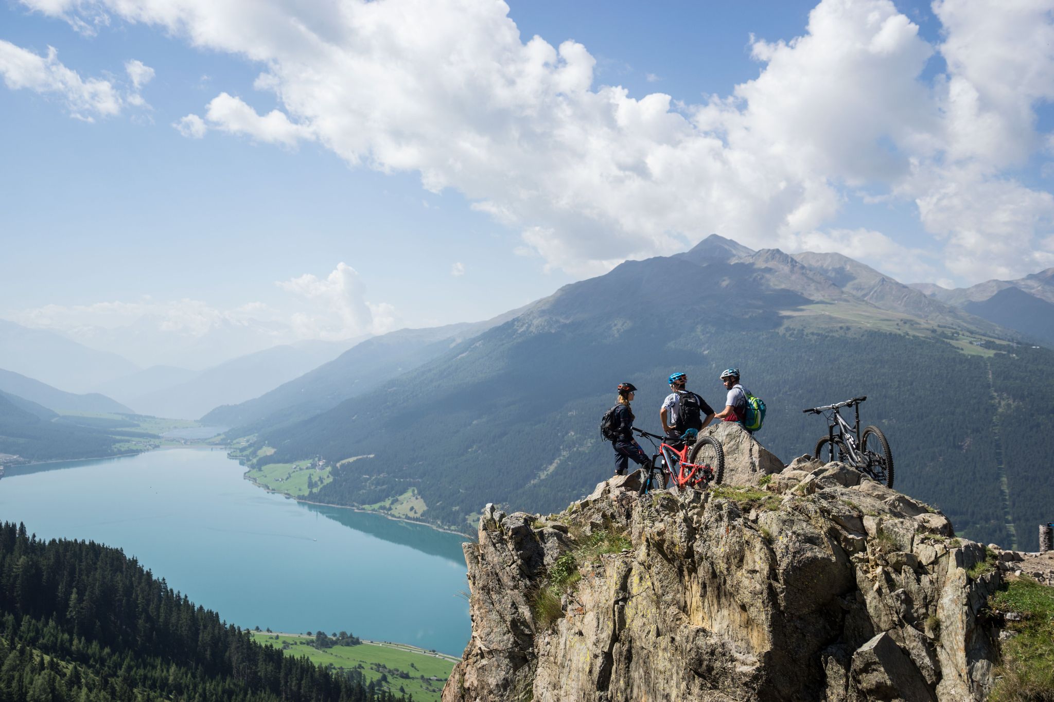
High into the Tyrolean mountain world – mountain biking in Tyrol
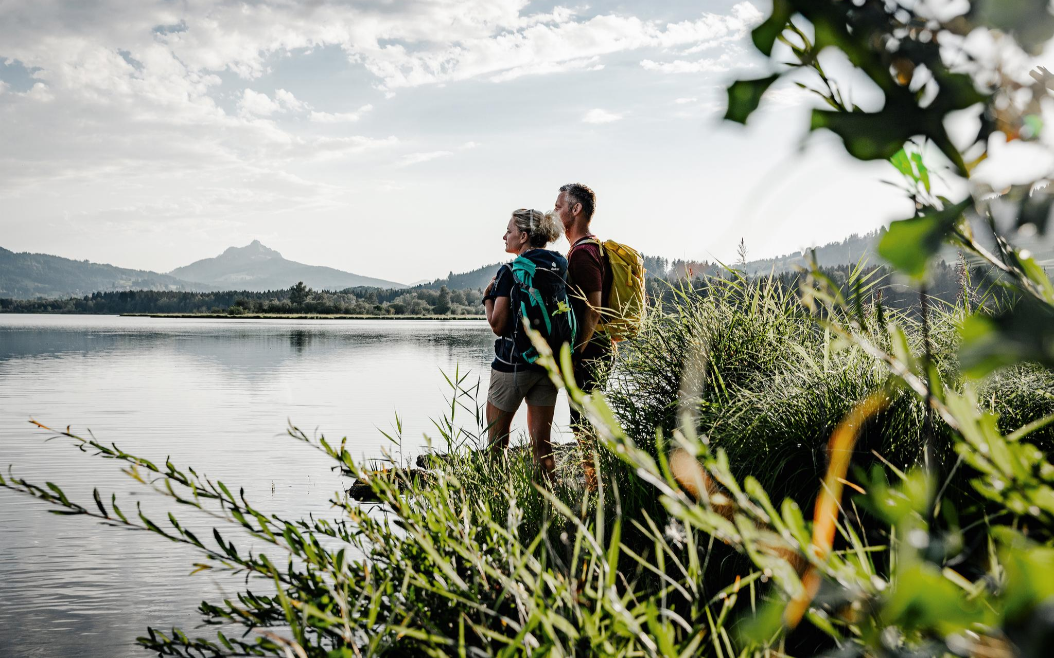
Fresh summer fun – half and full day hikes in Allgäu
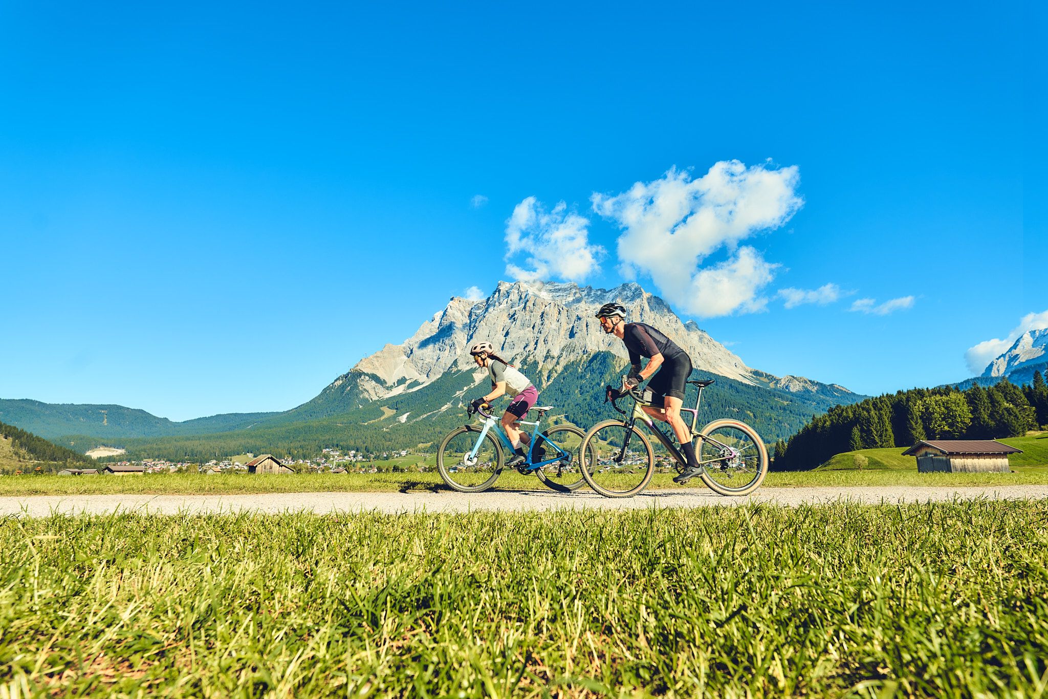
Experience the Außerfern in Tyrol's largest gravel bike region
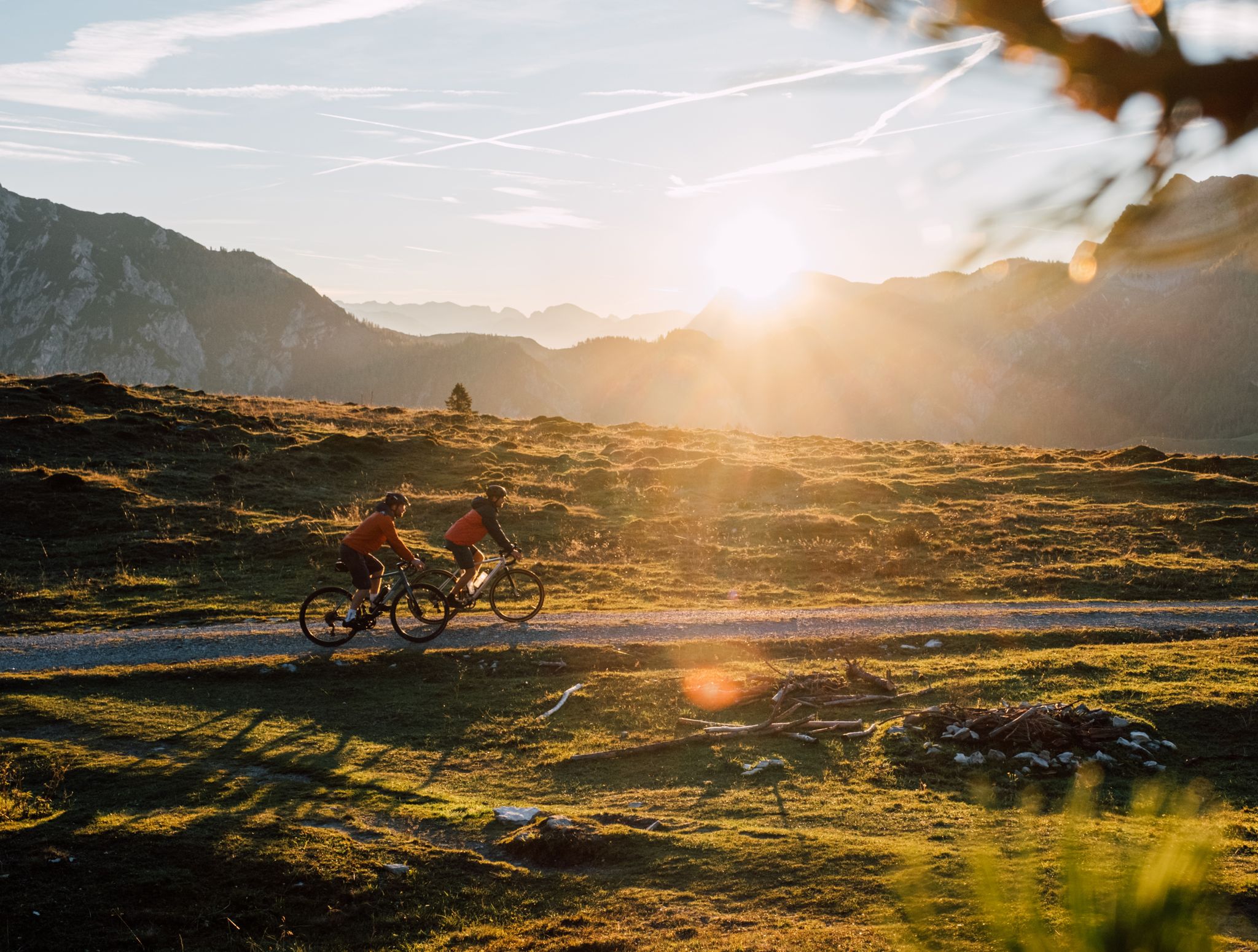
Beyond the pavement – explore Austria's wild nature on a gravel bike
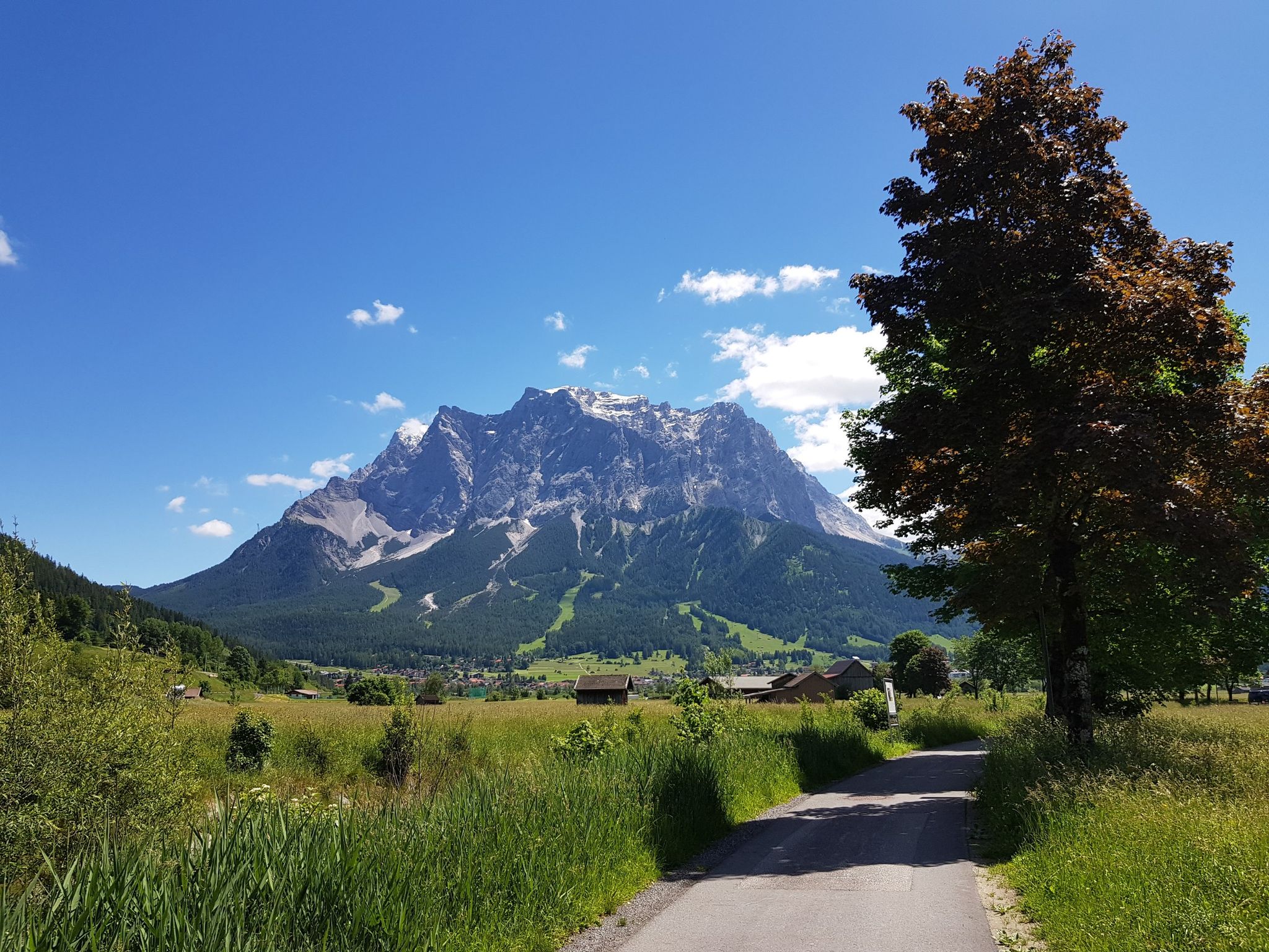
Bikepacking around Germany’s immense Zugspitze
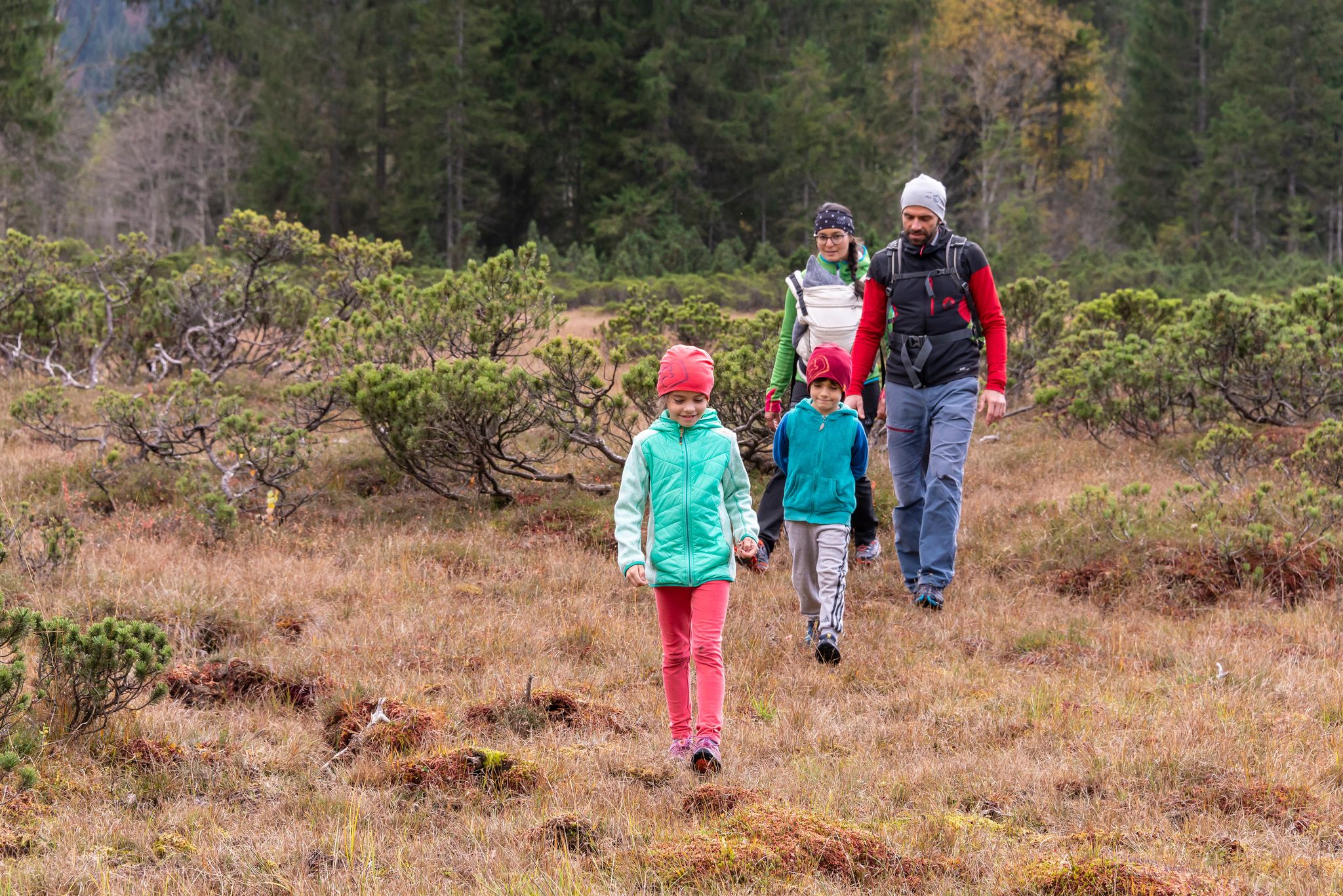
No time for boredom – family hikes with a fun factor in Bayern
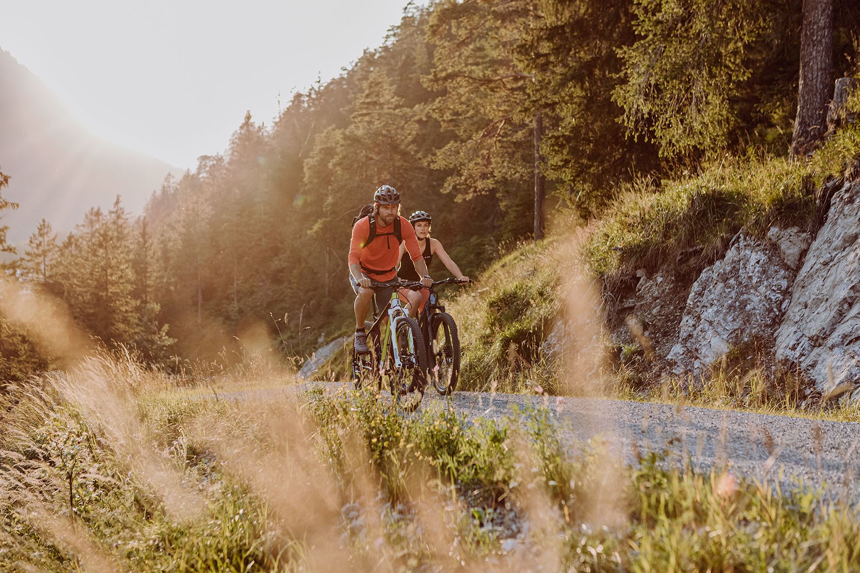
Alpine panorama and mountain huts – nature biking in Germany’s Allgäu
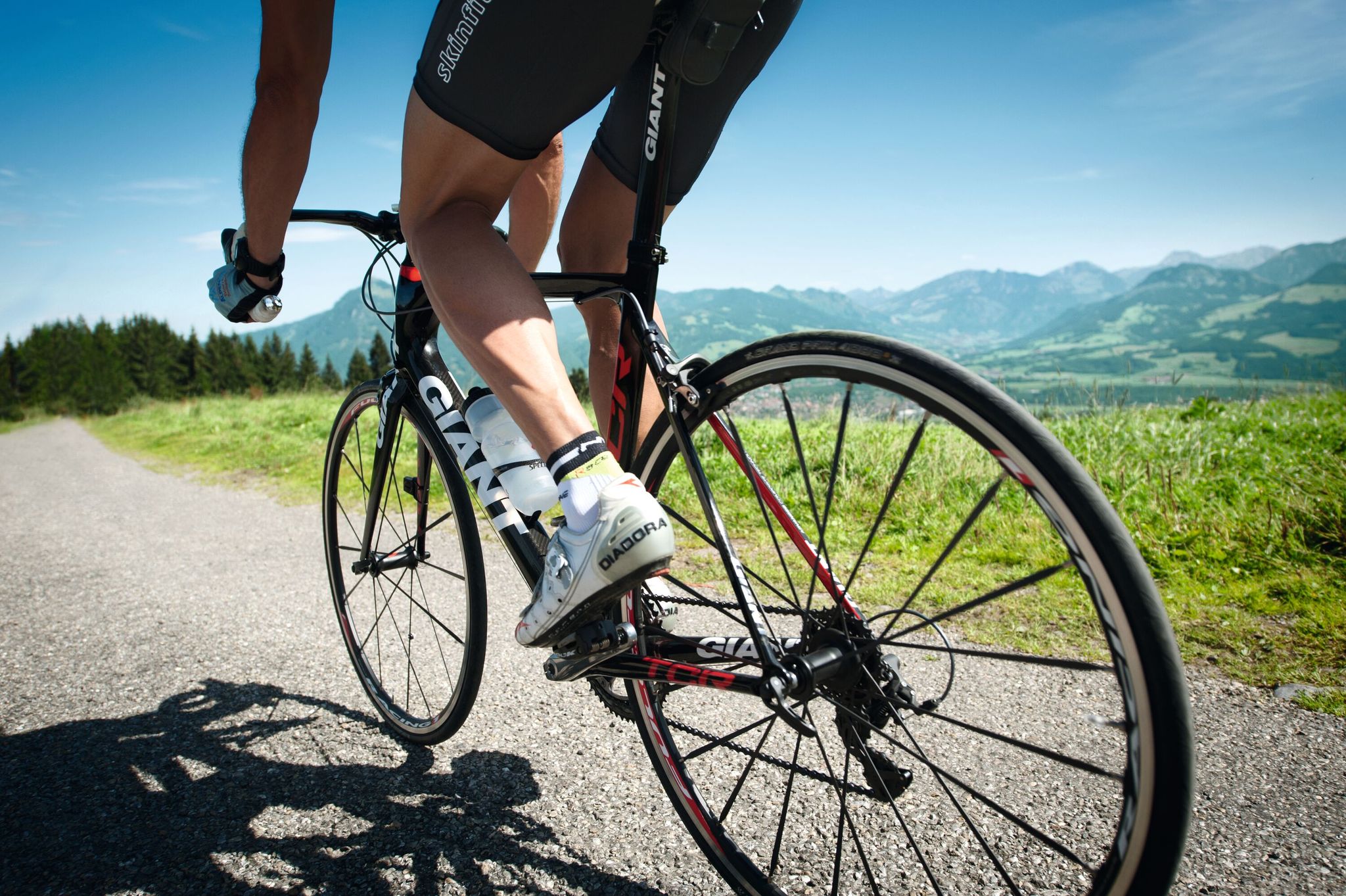
Discover the most beautiful road bike Tours in Allgäu
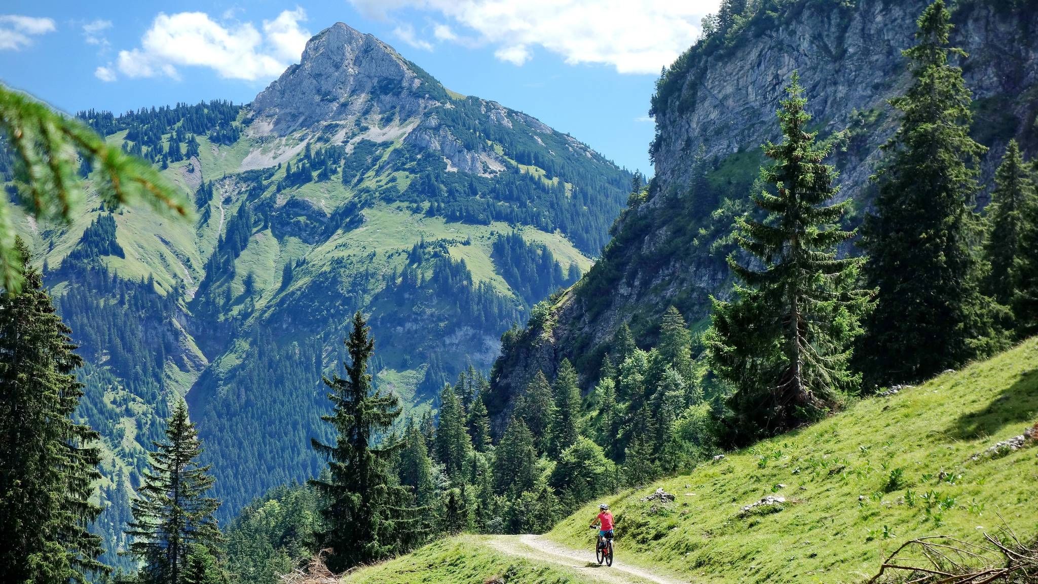
MTB fun around Austria’s Tannheim Valley
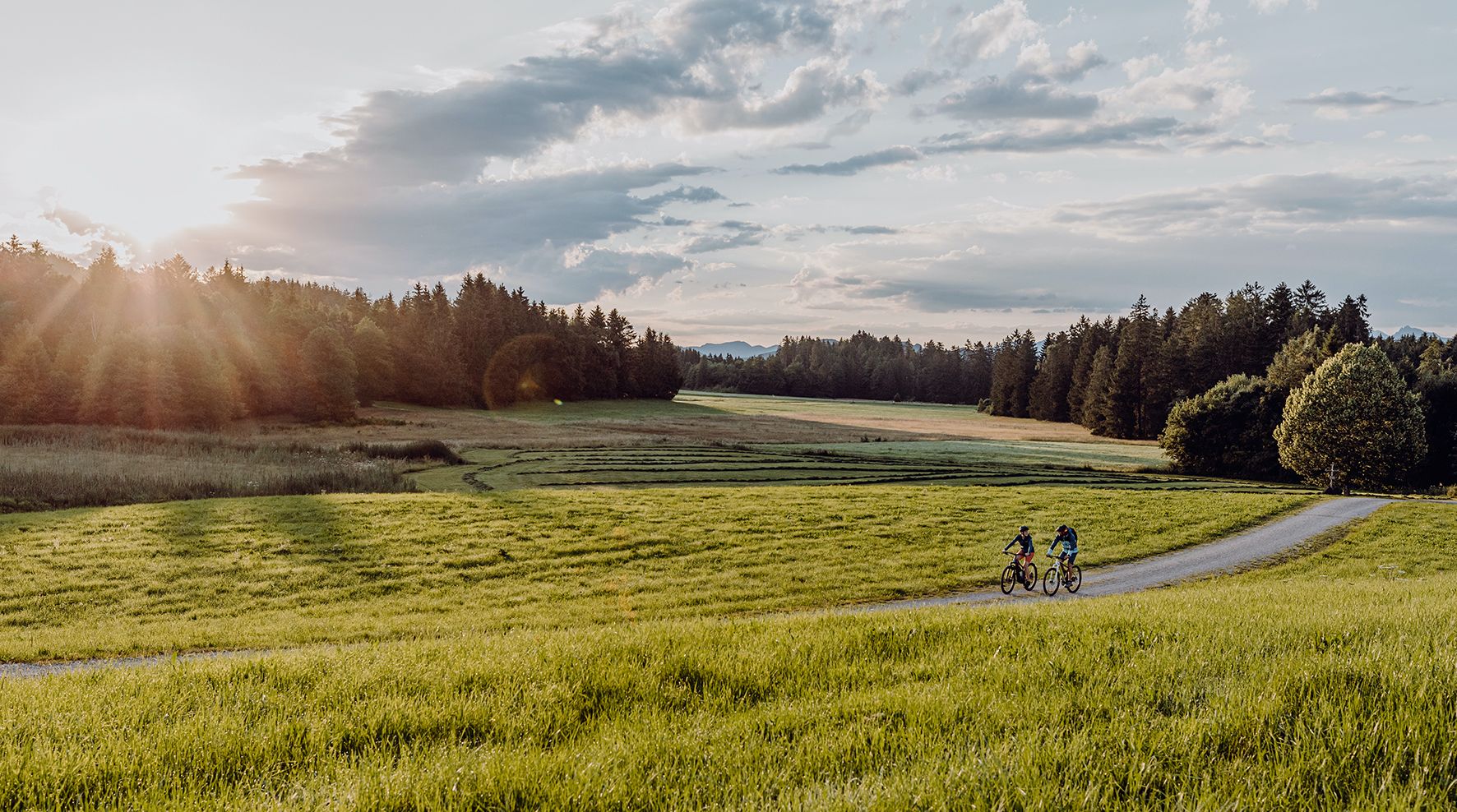
Allgäu Cycle Route — discover southern Germany & Tyrol
Other adventures in the Tannheimer Tal


Tips from the Community

Every meter offers a new view of the valley and the mountains, a magnificently beautiful area.
0
0

The Tannheimer Hütte is absolutely recommendable.
1
0

The Aggenstein is a beautiful mountain between Pfronten in the Allgäu and the Tannheimer Tal. Unfortunately, it is very often totally overcrowded.
1
0

If you're lucky and climb the mountain at sunset, you can see a lot of animals. Please be careful.
0
0

The isolated location of the Einstein, which is separated from the neighboring elevations by deeply incised valleys and a flat watershed, offers excellent views of the surrounding Tannheimer and Allgäu mountains in all directions.
1
0
There are two different approaches to the summit: The southern route leads up from Tannheim, while the northern, somewhat more challenging, route begins in the municipality of Pfronten and then crosses the border between the German Free State of Bavaria and the Austrian state of Tyrol north of Grän. The tour requires surefootedness and caution in wet conditions, as the slopes consist of steep scree. Source: https://de.wikipedia.org/wiki/Einstein_(Berg)
1
0

View from the Rote Flüh to the Gimpel. It's best to go down a few steps for a snack. There are fewer flying ants there.
0
0

Many different climbing options
0
0
Frequently Asked Questions
How many mountaineering routes are available in Tannheimer Tal?
Tannheimer Tal offers a vast network of mountaineering routes, with over 190 options recorded on komoot. These routes cater to various skill levels, including easy, moderate, and difficult trails.
What is the best time of year for mountaineering in Tannheimer Tal?
The prime season for mountaineering in Tannheimer Tal is typically from late spring through early autumn (May to October), when the weather is generally stable and the trails are clear of snow. However, the region also offers excellent ice climbing opportunities in winter at locations like Engelfall and Blässefall.
Are there any easy mountaineering routes suitable for beginners in Tannheimer Tal?
While many routes in Tannheimer Tal are challenging, there are a few easier mountaineering options available, with at least 2 routes classified as easy. Additionally, the region offers sport climbing gardens and climbing forests, like the one in Nesselwängle, which are great for developing skills or for families.
What kind of views can I expect on the mountaineering routes in Tannheimer Tal?
Mountaineering in Tannheimer Tal offers breathtaking panoramic views. You'll traverse expansive high-altitude meadows, encounter rugged limestone rock faces of the Allgäu Alps, and enjoy serene vistas of clear alpine lakes such as Vilsalpsee and Haldensee. Prominent peaks like Gimpel, Hochwiesler, and Rote Flüh provide dramatic backdrops.
Are there circular mountaineering routes in Tannheimer Tal?
Yes, Tannheimer Tal features several excellent circular mountaineering routes. For example, you could explore the Grüne Lache – Traualp Lake loop from Tannheim, a difficult 17 km path that offers stunning scenery.
What are some notable landmarks or attractions to see along the mountaineering routes?
Along the mountaineering routes, you can encounter several notable landmarks and attractions. The region is dotted with charming huts like the Landsberger Hut and Gimpelhaus, which often serve as rest stops or overnight accommodations. The picturesque Vilsalpsee and Haldensee lakes are also prominent natural features.
Are there huts or places to stay overnight on the mountaineering routes?
Yes, Tannheimer Tal has several huts that provide excellent opportunities for rest, refreshments, or overnight stays during your mountaineering adventures. Notable options include the Bad Kissinger Hut, Landsberger Hut, and Gimpelhaus.
What do other mountaineers say about the routes in Tannheimer Tal?
The mountaineering routes in Tannheimer Tal are highly regarded by the komoot community, boasting an impressive average rating of 4.8 stars from over 1,700 reviews. Mountaineers frequently praise the diverse terrain, the stunning alpine scenery, and the well-maintained paths that lead to challenging peaks and serene lakes.
Are there challenging multi-pitch climbing opportunities in Tannheimer Tal?
For experienced mountaineers, Tannheimer Tal offers challenging alpine multi-pitch tours on peaks such as Aggenstein, Gehrenspitze, and Läuferspitze. These routes are known for their tranquility, sunny locations, and provide stunning mountain panoramas, with walls reaching impressive heights of up to 700 meters on peaks like Köllenspitze and Gimpel.
Is it possible to reach the mountaineering routes using public transport in Tannheimer Tal?
Tannheimer Tal has a good public transport network, including a free hiking bus for guests with a valid guest card, which can help you reach various starting points for mountaineering routes throughout the valley. This makes it convenient to access trails even without a car.
Where can I find parking for mountaineering routes in Tannheimer Tal?
Designated parking areas are available at common trailheads and popular starting points throughout Tannheimer Tal, such as in Tannheim, Nesselwängle, and near Vilsalpsee. Many of these are paid parking lots, especially during peak season, so it's advisable to arrive early.
Are dogs allowed on the mountaineering trails in Tannheimer Tal?
Generally, dogs are welcome on most mountaineering trails in Tannheimer Tal, provided they are kept on a leash, especially in areas with livestock or wildlife. Always ensure your dog is well-behaved and that you clean up after them to preserve the natural environment for everyone.
Are there any specific considerations for winter mountaineering in Tannheimer Tal?
Winter mountaineering in Tannheimer Tal requires specialized equipment and experience due to snow and ice conditions. The region is known for its ice climbing, with locations like Engelfall near Grän for beginners and the more challenging Blässefall at Lake Vilsalpsee. Always check avalanche warnings and weather conditions before heading out in winter.
Most popular routes in the Tannheimer Tal
Most popular attractions in the Tannheimer Tal

Get inspired with the komoot mobile app


Explore more
Browse the best Mountain Hikes & Routes in other regions.
