The best hikes from bus stations in the Tannheimer Tal
4.6
(42823)
200,889
hikers
345
hikes
Hiking in the Tannheimer Tal, nestled in the Allgäu Alps, features a diverse landscape of high valleys, prominent peaks, and serene mountain lakes. The region is characterized by an extensive network of well-signposted trails, offering varied terrain from gentle valley walks to challenging alpine ascents. Situated at approximately 1,100 meters above sea level, the valley provides wide alpine meadows and a tranquil atmosphere, with features like the Vilsalpsee and Haldensee. This area offers a range of bus station hiking trails,…
Last updated: September 30, 2026
4.6
(847)
4,493
hikers
6.11km
01:36
50m
50m
Easy hike. Great for any fitness level. Easily-accessible paths. Suitable for all skill levels.
4.7
(661)
2,378
hikers
Moderate hike. Good fitness required. Easily-accessible paths. Suitable for all skill levels.

4.8
(415)
2,435
hikers
6.36km
03:22
610m
610m
Hard hike. Good fitness required. Sure-footedness, sturdy shoes and alpine experience required.
4.7
(344)
1,413
hikers
16.1km
05:21
660m
660m
Hard hike. Very good fitness required. Mostly accessible paths. Sure-footedness required.
4.8
(304)
1,246
hikers
14.9km
05:53
860m
860m
Hard hike. Very good fitness required. Sure-footedness, sturdy shoes and alpine experience required.
Get access to more routes and recommendations from other explorers.
Already have an account?
Our route recommendations are based on thousands of hikes, rides, and runs completed by other people on komoot.
Start today with a free account
Your next adventure awaits.
Popular around Tannheimer Tal

Fresh summer fun – half and full day hikes in Allgäu

No time for boredom – family hikes with a fun factor in Bayern

Climbing Alpine peaks on the Route to the Top – Allgäu hiking trilogy
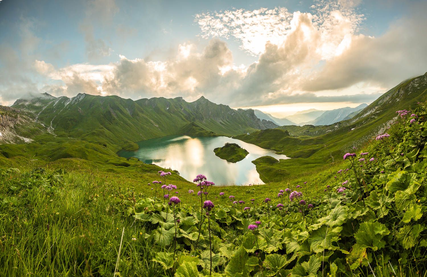
Grenzgänger – 6 Days Long Distance Hiking in Tannheimer Tal
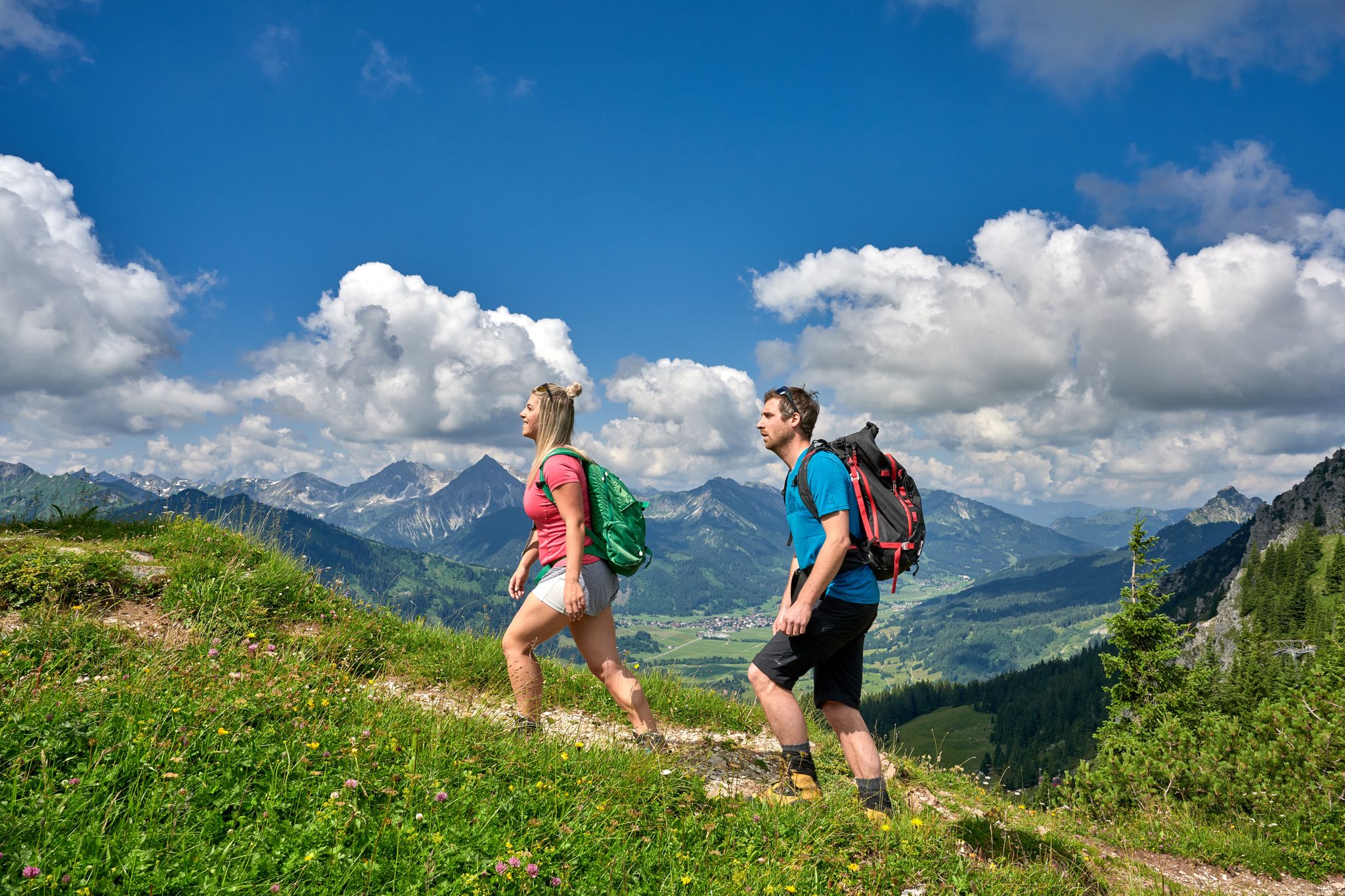
Beautiful alpine hikes with mountain huts in Austria’s Tannheimer Tal
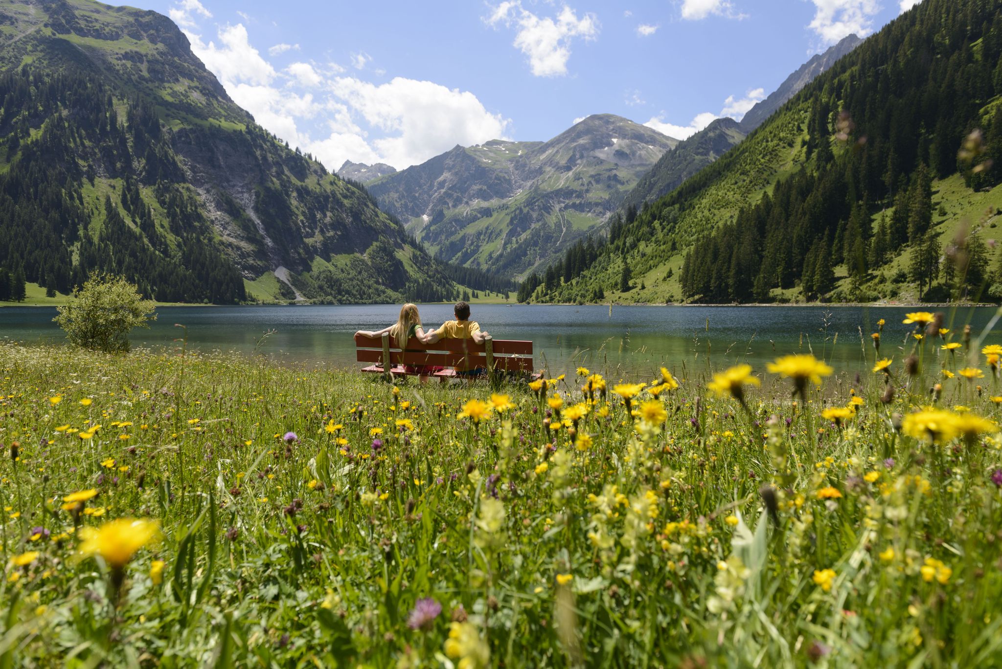
Summits, lakes & pleasure — Hiking in the Tannheimer Valley
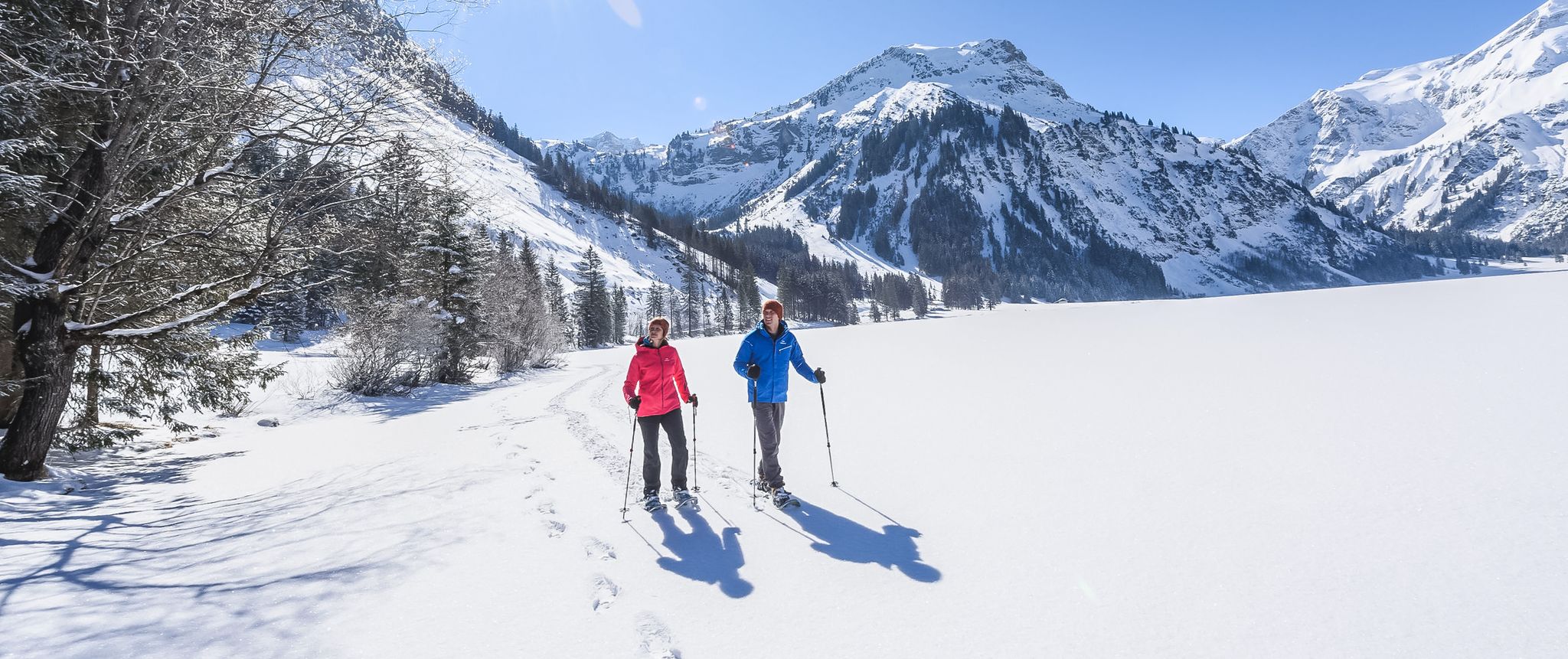
Mountains, snow & a clear blue sky – winter hikes in the Tannheimer Valley
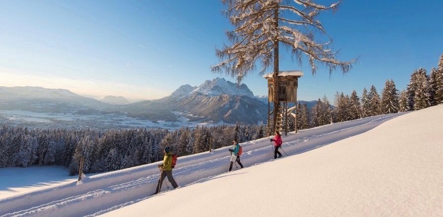
Winter wonderland — hiking in the Tyrolean Alps
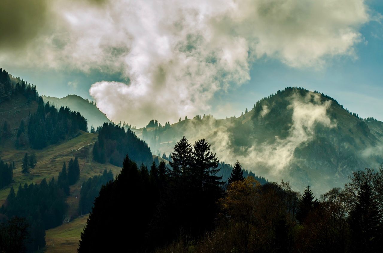
Allgäu pleasure peaks
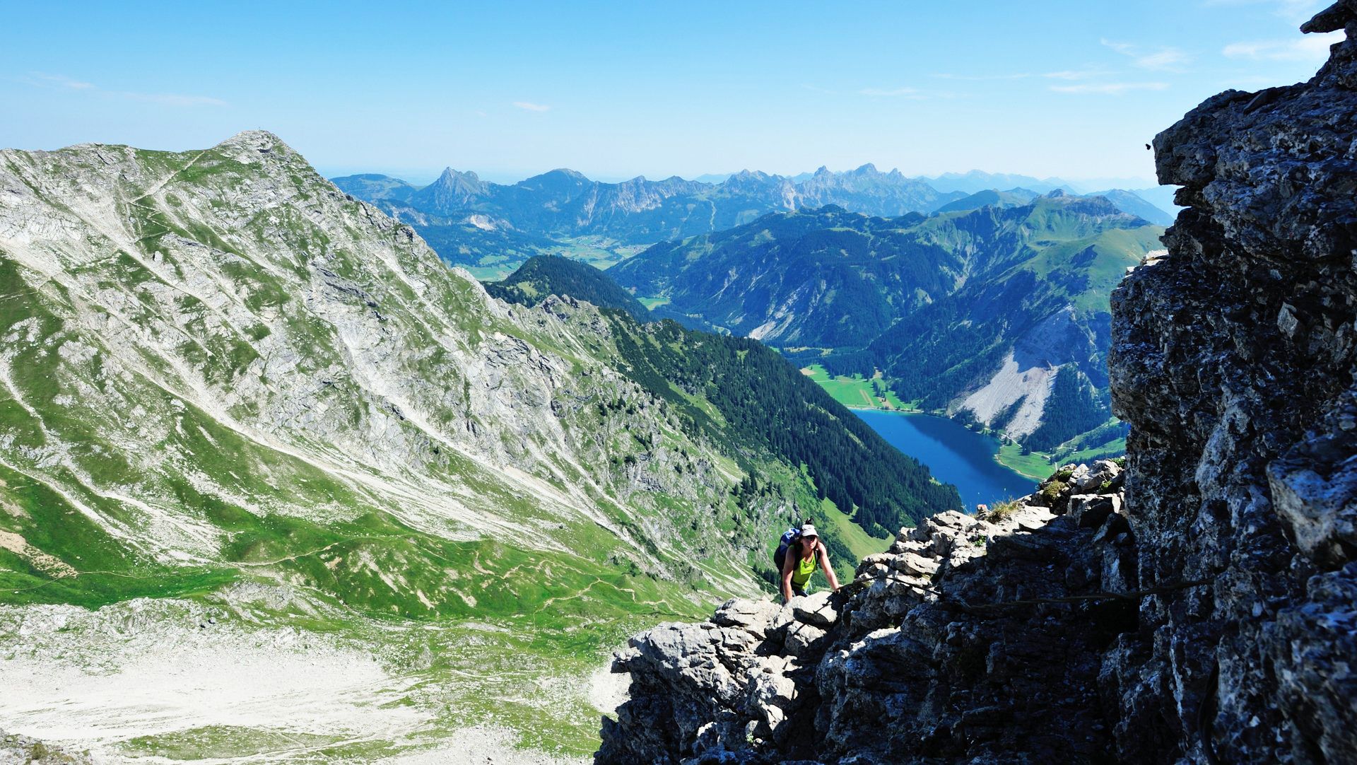
Up up and away in the Allgäu
Other adventures in the Tannheimer Tal


Tips from the Community

Every meter offers a new view of the valley and the mountains, a magnificently beautiful area.
0
0

Counter-clockwise you still have sun in the evening.
0
0
Beautiful view of the mountains in a great environment and not too crowded here.
0
0

Our tour started with the cable car up to the Neunerköpfle, then down via the Strindenalpe to the Haldensee. Wonderful view of the Haldensee and the mountains.
0
0

Good approach by bike via the (toll) road. Food very good
0
0

From the Alpe Obere Reuterwanne a meadow path leads directly to the summit of the Reuterwanne.
1
0
There are two different approaches to the summit: The southern route leads up from Tannheim, while the northern, somewhat more challenging, route begins in the municipality of Pfronten and then crosses the border between the German Free State of Bavaria and the Austrian state of Tyrol north of Grän. The tour requires surefootedness and caution in wet conditions, as the slopes consist of steep scree. Source: https://de.wikipedia.org/wiki/Einstein_(Berg)
1
0
A great place to take a breather. The view comes free of charge.
0
1
Frequently Asked Questions
How many bus station hiking trails are available in the Tannheimer Tal?
There are over 330 bus-accessible hiking routes in the Tannheimer Tal, offering a wide range of experiences from leisurely valley walks to more challenging mountain ascents. The region is well-known for its extensive network of trails, many of which are easily reached by public transport.
What kind of terrain can I expect on bus-accessible hikes in the Tannheimer Tal?
The Tannheimer Tal offers diverse terrain, from gentle paths around serene lakes and through wide alpine meadows at lower elevations (around 1,100 meters) to panoramic trails and demanding alpine ascents in the surrounding Allgäu Alps. You can find routes suitable for all skill levels, often with significant elevation changes for those seeking a challenge.
Are there easy bus-accessible hikes suitable for beginners or families?
Yes, the Tannheimer Tal offers many easy, bus-accessible routes perfect for beginners or families. These often include relaxed walks around the valley's beautiful lakes. For example, the Wooden Bridge Over the Vils – Lake Vilsalp loop from Tannheim is a moderate route that is relatively flat and scenic, making it a good option for a pleasant outing.
Can I bring my dog on bus-accessible hikes in the Tannheimer Tal?
Generally, dogs are welcome on hiking trails in the Tannheimer Tal, provided they are kept on a leash, especially in nature reserve areas or near livestock. Always check local regulations for specific trails or public transport rules. Remember to bring water for your dog and clean up after them.
Are there bus-accessible trails that feature waterfalls?
Yes, the Tannheimer Tal is home to beautiful natural features, including waterfalls. The area around Lake Vilsalp is particularly known for its scenic beauty, including the Bergacht Waterfall. While not explicitly listed as a bus-accessible route in the provided data, many trails around Vilsalpsee are accessible via bus to Tannheim, from where you can start your hike.
What natural features or landmarks can I see on bus-accessible trails?
Bus-accessible trails in the Tannheimer Tal lead to many stunning natural features and landmarks. You can explore serene mountain lakes like Lake Vilsalp and Traualp Lake, enjoy panoramic views from various peaks, or discover charming alpine huts such as the Landsberger Hut. The entire Tannheimer Valley itself is a highlight, offering wide alpine meadows and dramatic mountain backdrops.
Are there circular bus-accessible hiking routes in the Tannheimer Tal?
Many of the bus-accessible hiking routes in the Tannheimer Tal are circular, allowing you to start and end your journey at the same bus stop without needing to retrace your steps. Examples include the challenging View of Haldensee – Lake Haldensee loop from Nesselwängle or the demanding View of Bschiesser and Ponten – View of the Allgäu Mountains loop from Schattwald.
What do other hikers enjoy the most about hiking in Tannheimer Tal?
The Tannheimer Tal is highly rated by the komoot community, with an average score of 4.6 stars from over 34,900 ratings. Reviewers often praise the region's diverse landscapes, well-maintained trails, and the stunning panoramic views from higher elevations. The accessibility of many trails via public transport is also a frequently appreciated aspect.
Are there any challenging bus-accessible hikes for experienced hikers?
Yes, experienced hikers will find plenty of challenging bus-accessible routes. These often involve significant elevation gain and can lead to prominent peaks in the Allgäu Alps. A demanding option is the Krinnenspitze Summit – Lake Haldensee loop from Grän, which offers extensive views and a good workout.
Can I find refreshments or accommodation along bus-accessible routes?
Yes, the Tannheimer Tal is well-equipped with numerous rustic Alpine huts and mountain refuges (31 in total) along its hiking routes. These provide excellent opportunities for rest, refreshments, and often offer stunning panoramic views. Many villages, which serve as bus stops, also provide various accommodation options and eateries.
What is the best time of year for bus-accessible hiking in the Tannheimer Tal?
The best time for hiking in the Tannheimer Tal is typically from late spring to early autumn (May to October). During these months, the weather is generally mild, trails are clear of snow (except for very high alpine routes early in the season), and the alpine flora is in full bloom. The region's free hiking bus service also operates during the main hiking season, making access even more convenient.
Most popular routes in the Tannheimer Tal
Most popular attractions in the Tannheimer Tal

Get inspired with the komoot mobile app


Explore more
Browse the best Hikes in other regions.
