The best running trails in Camino Alto Open Space Preserve
4.3
(14)
2,629
runners
146
runs
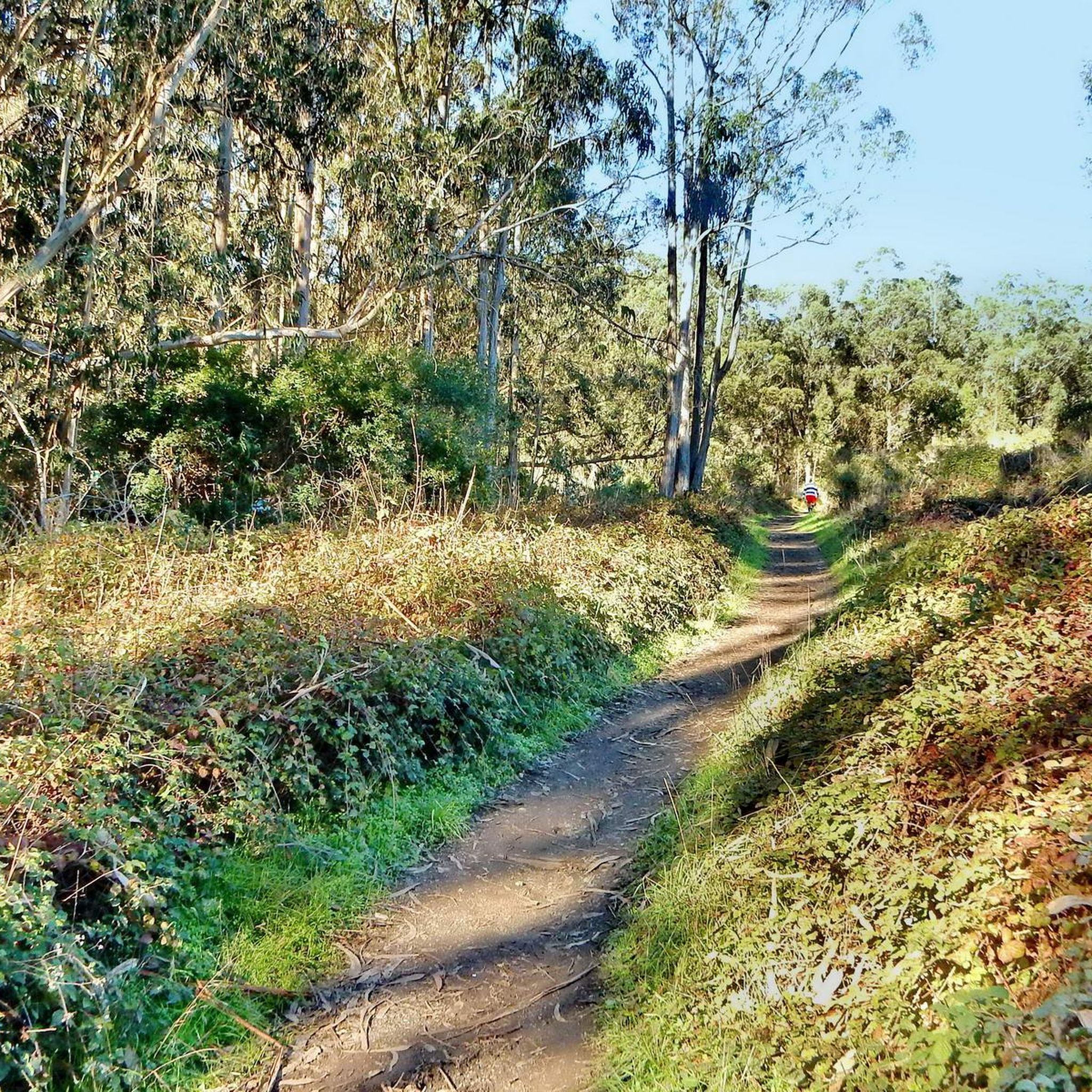
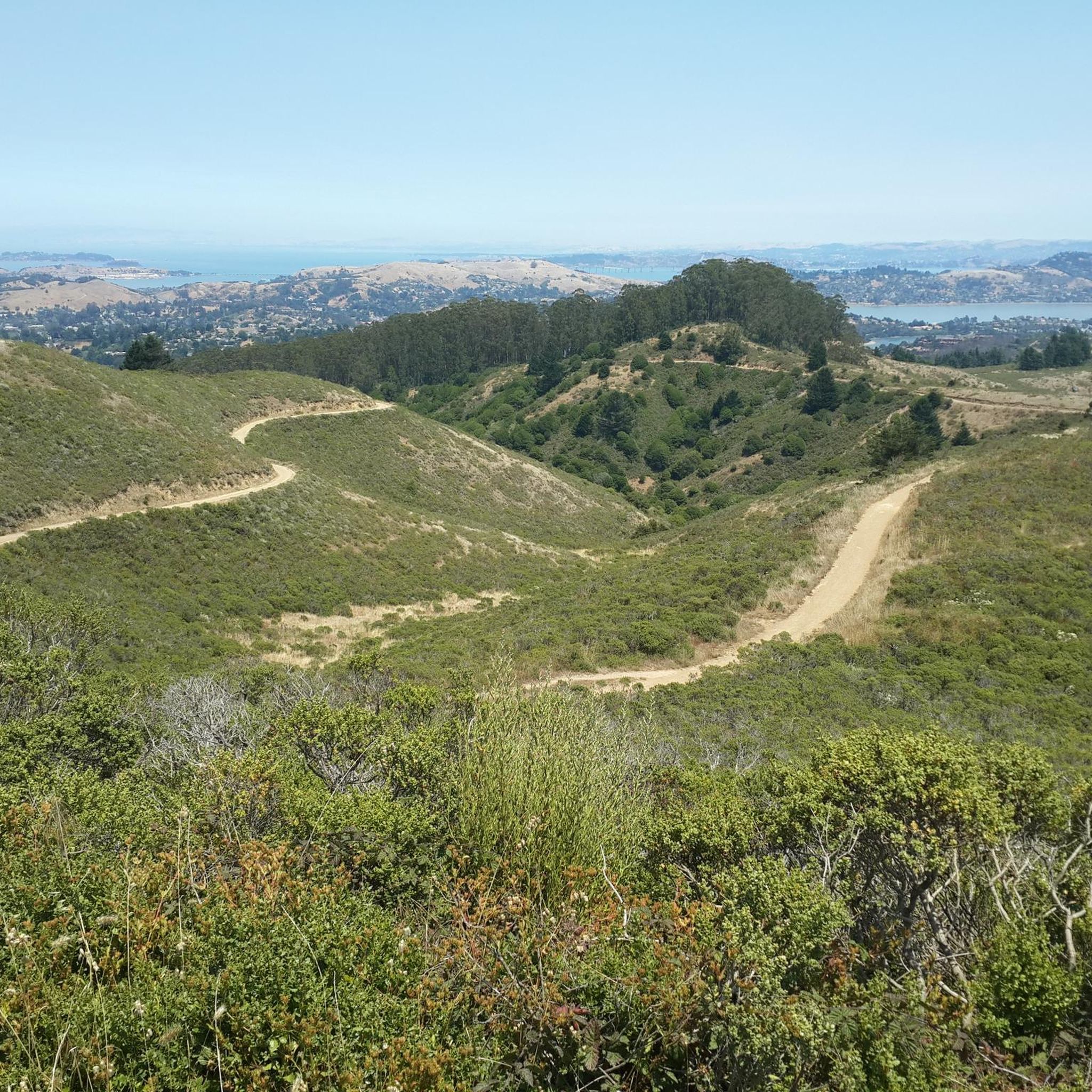
Jogging in Camino Alto Open Space Preserve offers a diverse environment with varied terrain, including wide fire roads and narrower single tracks, ranging from nearly flat to hilly sections. The preserve features abundant greenery, with shaded trails lined by Redwoods, Oaks, and Douglas Firs, alongside grasslands and bay/oak woodlands. From various points, runners can experience panoramic views of the San Francisco skyline, the Bay Area, and Mount Tamalpais. This network of trails provides options for different fitness levels and preferences.
…Last updated: September 1, 2026
18
runners
12.6km
01:33
340m
340m
Hard run. Very good fitness required. Mostly paved surfaces. Suitable for all skill levels.
12
runners
Moderate run. Good fitness required. Mostly paved surfaces. Suitable for all skill levels.

Sign up for free
5.0
(2)
130
runners
22.6km
03:03
1,070m
1,070m
Hard run. Very good fitness required. Mostly paved surfaces. Suitable for all skill levels.
30
runners
14.7km
01:53
710m
710m
Hard run. Very good fitness required. Mostly paved surfaces. Suitable for all skill levels.
3
runners
6.62km
00:56
320m
320m
Hard run. Very good fitness required. Mostly paved surfaces. Suitable for all skill levels.
Get access to more routes and recommendations from other explorers.
Sign up for free
Already have an account?
Our route recommendations are based on thousands of hikes, rides, and runs completed by other people on komoot.
Start today with a free account
Your next adventure awaits.
Login or Signup
Tips from the Community

The eponymous name of this hill mostly refers to the climb to this point from the beach about 1300 feet (400 meters) up. Deer Park Fire Road is actually reasonably gradual, following the ridgeline. Still, it is a good place for a rest, take in the views to the Pacific, and refill the water bottles at the water fountain, and read info panels about the recent history.
0
0

Now open for more than a hundred years, this inn welcomes visitors high on the flanks of Mount Tamalpais. The guestrooms mostly face east, but the grounds include great vantages to the west over the Bay. There's also a restaurant, and this has been voted one of the most romantic spots in the Bay Area several times over.
0
0

The Redwood Creek Trail is the main pathway through Muir Woods National Monument and connects to several other trails. It is an easy and beautiful route for a casual stroll as you admire the impressive, towering redwoods.
0
0

This trail offers a mix of shade and sun, with several creeks, small waterfalls, and beautiful wildflowers adding to its charm. The top rewards you with stunning views of Oakland to Alcatraz, but be cautious of the abundant poison oak along the narrow trail.
0
0
This historic hotel with a long history, was built in 1912 by a Swiss-German immigrant couple who were homesick for their native Alps. It is perched on the ridge between the Mount Tamalpais peaks, high above Mill Valley, and boasts excellent views of Marin. It is a favorite spot to stay as a mountain getaway for outdoor enthusiasts in the Bay area, so much so that even celebrities like Goldie Hawn, the Grateful Dead and Jack London have stayed here.
0
0
Mount Tamalpais State Park is a majestic area in the heart of Marin County, with sweeping hillsides covered in fantastic redwood forest, open grasslands, sturdy chaparral, and wooded oaklands. The views from Mount Tampais boast breathtaking vistas of the Pacific Ocean, San Francisco Bay and City, the Marin County Hills, Mount Diablo, and the East Bay. You can even see the Farallon Islands, 25 miles out to sea. If you're lucky, you can catch an occasional glimpse of the snow-capped Sierra Nevada Mountain Range, nearly 150 miles away. The Park is a haven for cyclists, hikers, wildlife watchers, or those who wish to find a beautiful spot for an afternoon picnic.
0
0
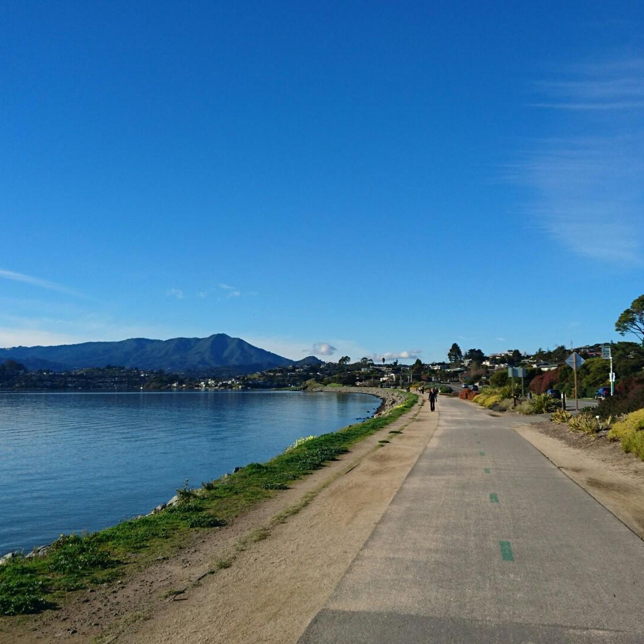
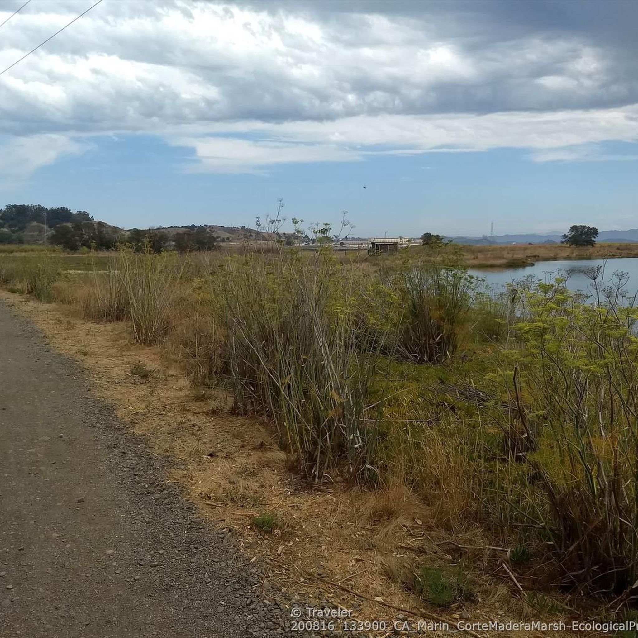
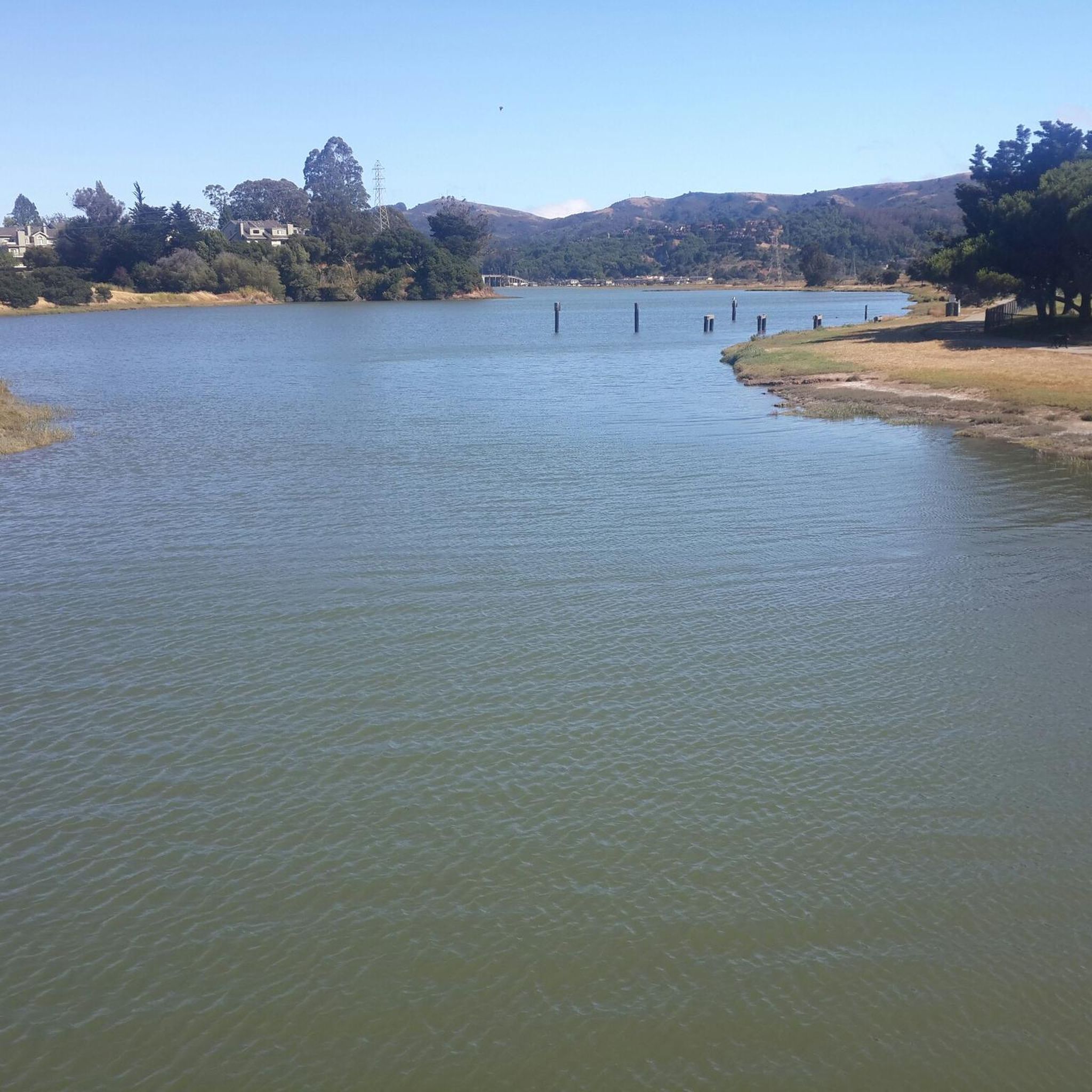
This tidal sanctuary runs along the Mill Valley-Sausalito Pathway and the Charles F. McGlashan Pathway. More than 400 species of migratory birds rest here after their long flights, and if you pass through in the early morning or late evening, the sunrises and sunsets reflect beautifully on the surface of this 106-acre marsh.
0
0
These stairs ascend to the renowned Dipsea Trail. They consist of a total of 680 steps divided into three sections, which have been in existence since the early 1900s and were recently restored.
1
0
Frequently Asked Questions
How many running routes are available in Camino Alto Open Space Preserve?
Camino Alto Open Space Preserve offers a wide selection of running routes, with over 175 different trails to explore. This includes a variety of options for all skill levels, from easy jogs to more challenging runs.
What kind of terrain can I expect on the jogging trails in Camino Alto Open Space Preserve?
You'll find a diverse range of terrain, from wide fire roads to narrower single tracks. The preserve features sections that are nearly flat, as well as hilly and steep ups and downs, allowing you to choose a route that matches your desired intensity. Expect abundant greenery, with shaded trails lined by Redwoods, Oaks, and Douglas Firs, alongside grasslands and bay/oak woodlands.
Are there any easy or beginner-friendly running routes in the preserve?
Yes, Camino Alto Open Space Preserve has 11 routes specifically categorized as easy, making them suitable for beginners or those looking for a more relaxed jog. While specific names aren't provided for these easy routes, the varied terrain ensures there are options for all fitness levels.
Can I bring my dog on the jogging trails?
The preserve is known for its friendly atmosphere where walkers often greet each other and their dogs. While specific dog-friendly trail regulations should always be checked locally, the general environment suggests it's a welcoming place for runners with canine companions. Many trails are wide fire roads, which are typically suitable for dogs.
What are the best viewpoints or scenic spots along the running routes?
Joggers can enjoy breathtaking panoramic views from various points within the preserve. You can take in expansive vistas of the San Francisco skyline, the entire Bay Area, Mount Tamalpais, and even Mount Diablo in the far distance. The Camino Alto Fire Road, for instance, is noted for its great views of Mount Tam and San Francisco. You can also explore highlights like Middle Summit / Escalon Fire Road 🗻🚵 for scenic stretches.
Are there any circular running routes available?
Yes, the extensive trail network, including fire roads like Escalon Fire Road, Middle Summit Fire Road, and Lower Summit Fire Road, allows for the creation of various loops. A popular combination is Escalon Fire Road with Octopus Trail and Camino Alto Fire Road to form a loop. One specific loop route you might consider is the Dipsea Steps & Homestead Hill loop — Mill Valley.
What do other runners enjoy most about jogging in Camino Alto Open Space Preserve?
The area is highly rated by the komoot community, with an average score of 4.2 stars from more than 15 reviews. Runners often praise the varied terrain, abundant greenery, and stunning panoramic vistas. The connectivity of the trails, allowing for longer runs and diverse loops, is also a frequently mentioned positive aspect.
Is there parking available for the jogging trails?
Yes, Camino Alto Open Space Preserve is described as an 'ideal neighborhood preserve' with relatively easy access and free street parking available, particularly at trailheads. The Camino Alto OSP - Fire Road Trailhead is one such access point.
Are there any facilities like restrooms or water fountains in the preserve?
While there are no restrooms or running water facilities directly within the preserve, trash cans are available at the trailhead and along some routes. It's advisable to bring your own water and plan accordingly.
What are some longer, more challenging running options in the area?
For those seeking a challenge, the preserve connects to a larger network of trails. Middle Summit Fire Road connects to Blithedale Summit Preserve, offering opportunities for extended explorations. Routes like the Dipsea Trail (22.6 km) and the Double Bowknot Trail – Fern Creek Trail loop from Mill Valley (24.3 km) are difficult options known for significant elevation changes and varied landscapes.
What kind of wildlife or flora might I encounter while running?
The diverse habitats within the preserve support a variety of wildlife. You'll run through areas with coast live oaks and might spot bright pink rockrose blooming in early summer. The abundant greenery includes Redwoods, Oaks, Douglas Firs, and various wildflowers, offering a rich natural experience.
Are there any specific trails that connect to other preserves?
Yes, the trail network is well-connected. The Middle Summit Fire Road extends into Blithedale Summit Preserve, allowing for longer, continuous runs. Additionally, trails like the Bob Middagh Trail connect to Horse Hill Open Space Preserve, expanding your running possibilities.
Most popular routes in Camino Alto Open Space Preserve
Most popular attractions in Camino Alto Open Space Preserve

Get inspired with the komoot mobile app


Explore more
Browse the best Running Trails & Routes in other regions.
