The best road cycling routes in Camino Alto Open Space Preserve
4.4
(237)
9,825
riders
96
rides
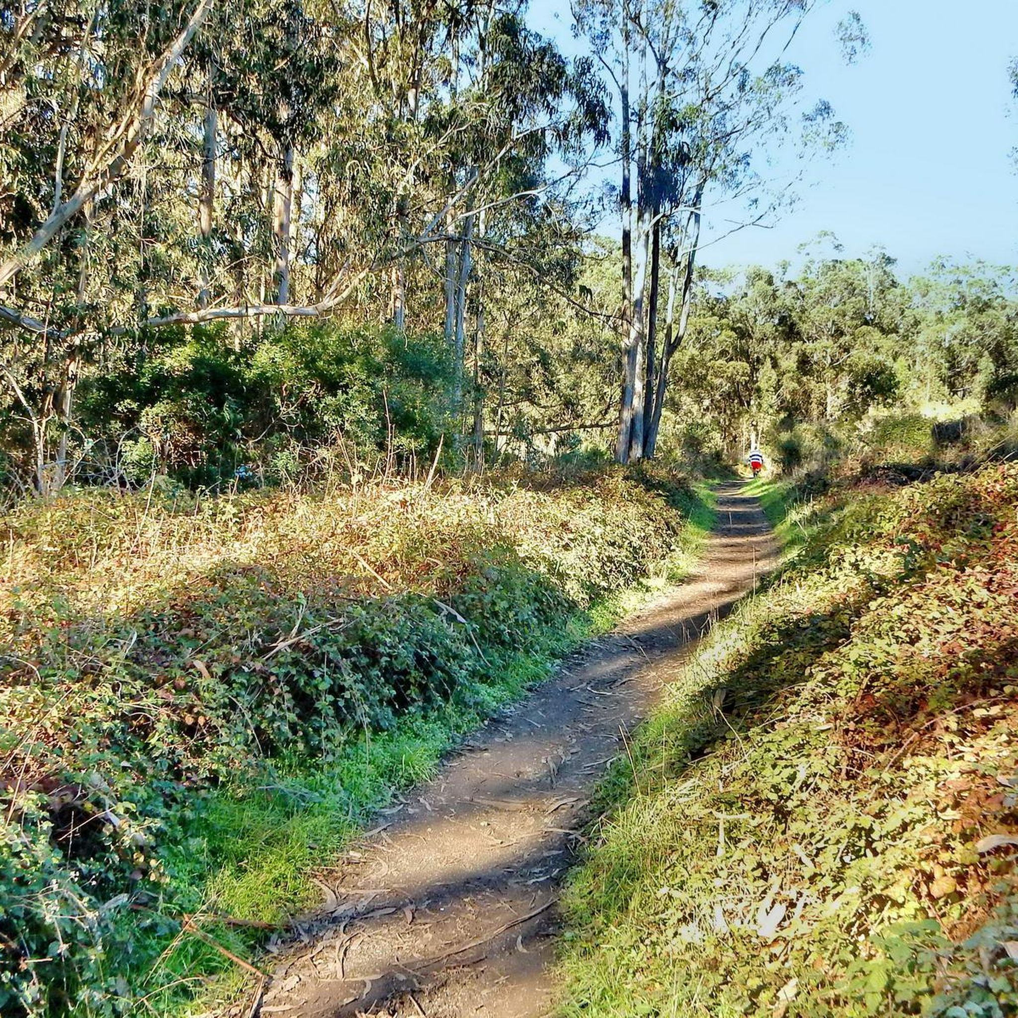
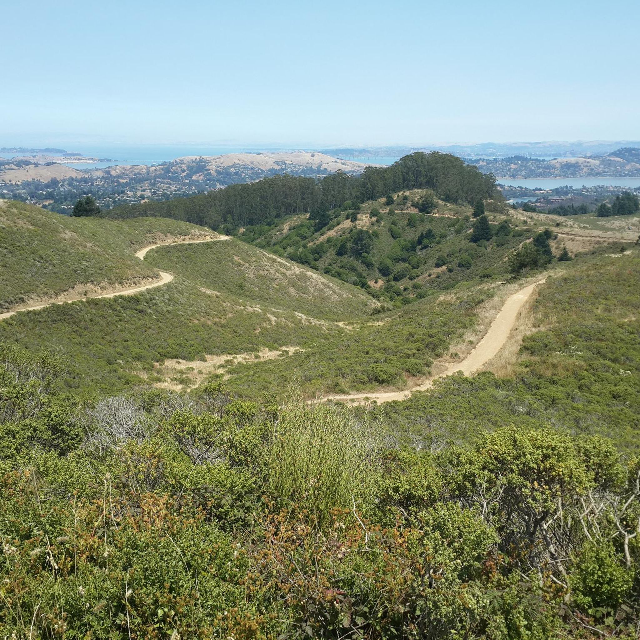
Road cycling in Camino Alto Open Space Preserve offers diverse terrain across 170 acres in Mill Valley, California. The preserve features a network of fire roads and paved sections, providing a mix of surfaces for road cyclists. The landscape is characterized by hilly sections, oak and wildflower forests, and grasslands, with elevations reaching over 200 meters. Cyclists can experience varied ecosystems, including redwood and Douglas fir stands, alongside panoramic views of the Bay Area.
Best road cycling routes in Camino Alto Open Space Preserve
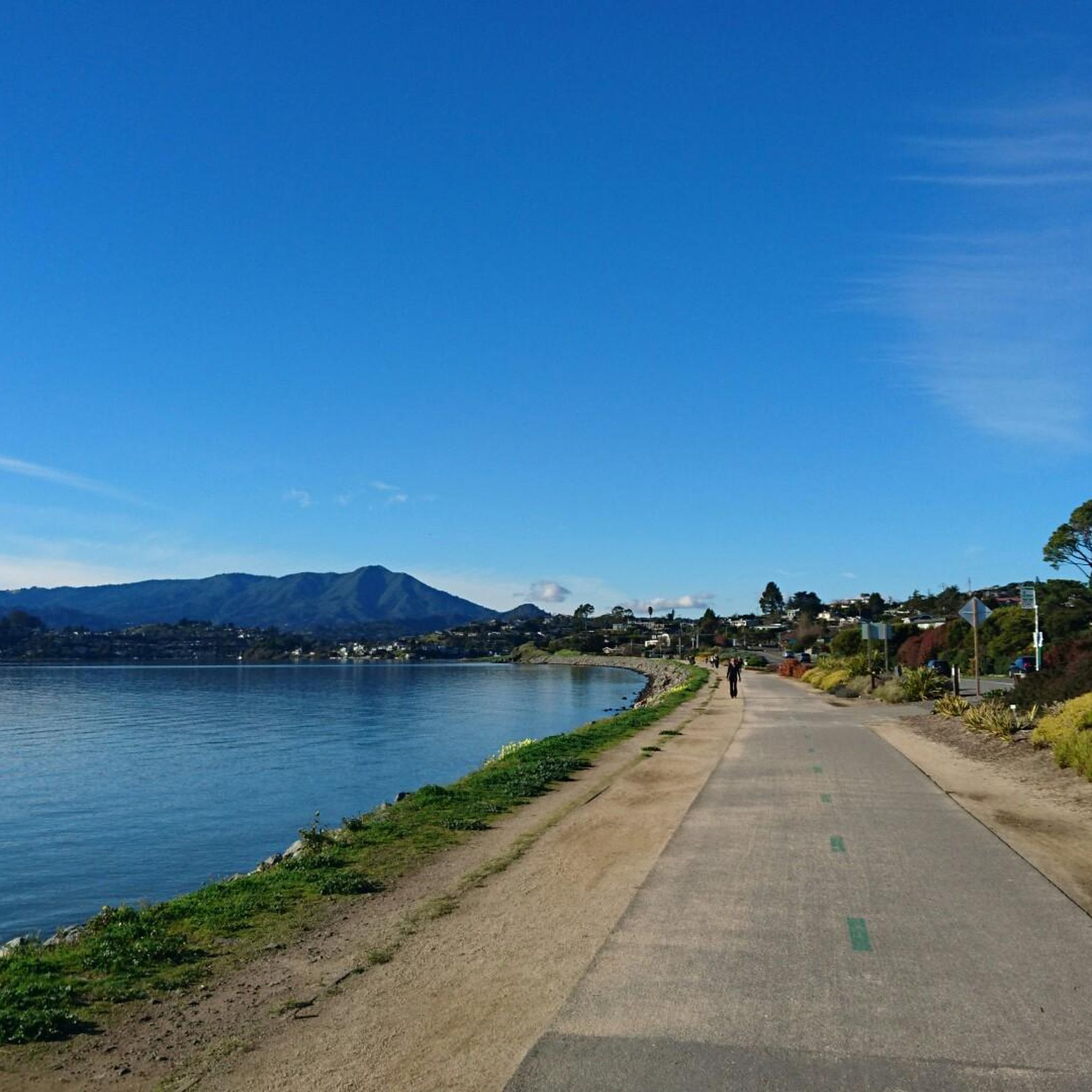
- The most popular road cycling route is Bothin Marsh Preserve – Camino Alto Road loop from Mill Valley, a 12.9 miles (20.8 km) trail that takes 1 hour 7 minutes to complete. This moderate route features well-paved surfaces and offers views of the surrounding natural areas.
- Another top favourite among local road cyclists is Pan Toll Road via Panoramic Highway, a moderate 19.3 miles (31.0 km) path. This route includes significant elevation gain and provides expansive panoramic views of the Bay Area.
- Local road cyclists also love the Pantoll Road – Mount Tamalpais Summits loop from Mill Valley, a 29.5 miles (47.5 km) trail leading through varied forest and open terrain, often completed in about 2 hours 51 minutes.
- Road cycling in Camino Alto Open Space Preserve is defined by hilly terrain, oak and wildflower forests, and panoramic Bay Area views. The network offers options for easy, moderate, and difficult routes, catering to different ability levels.
- The routes in Camino Alto Open Space Preserve are highly rated by the komoot community with an average score of 4.6 stars from more than 170 reviews. More than 9,000 road cyclists have used komoot to explore Camino Alto Open Space Preserve's varied terrain.
Last updated: May 14, 2026
5.0
(2)
194
riders
65.3km
03:52
1,510m
1,510m
Hard road ride. Very good fitness required. Mostly well-paved surfaces and easy to ride.
5.0
(2)
127
riders
31.0km
01:52
710m
710m
Embark on the Pan Toll Road via Panoramic Highway for a rewarding racebike experience. This moderate route covers 19.3 miles (31.0 km) and challenges you with 2344 feet (714 metres) of elevation gain, typically taking about 1 hour and 52 minutes to complete. As you climb, the scenery shifts dramatically from dense redwood forests to wide-open fields, eventually revealing expansive views of the Pacific Ocean, San Francisco Bay, and the city skyline, with the Golden Gate Bridge visible from the summit.
When planning your ride, be aware that this route features challenging climbs, including some steep gradients. While the road surface is generally excellent for road cycling, you might encounter moderate to heavy traffic, especially on Panoramic Highway during weekends. It is wise to prepare for potential fog and noticeable temperature changes as you ascend, so dress in layers.
This route is a highlight within Mount Tamalpais State Park, offering a significant workout for cyclists. The ever-changing views of Marin, San Francisco, and the coast make it a truly special ride. You will find the journey offers a unique perspective on the region's diverse landscapes, from coastal vistas to urban panoramas.

Sign up for free
1.0
(1)
212
riders
43.4km
02:33
1,000m
1,000m
Hard road ride. Very good fitness required. Mostly well-paved surfaces and easy to ride.
5.0
(2)
61
riders
23.5km
01:04
210m
210m
Easy road ride. Great for any fitness level. Mostly well-paved surfaces and easy to ride.
30
riders
Hard road ride. Very good fitness required. Mostly well-paved surfaces and easy to ride.
Get access to more routes and recommendations from other explorers.
Sign up for free
Already have an account?
Our route recommendations are based on thousands of hikes, rides, and runs completed by other people on komoot.
Start today with a free account
Your next adventure awaits.
Login or Signup
Tips from the Community

Paved section riding on the ridge between Pan Toll Road and Fairfax-Bolinas Road where it contains as Bolinas Ridge Trail, with spectacular views along the way toward the Pacific Ocean and Stinson Beach far below. The road is open during daylight hours only, in winter that means 9am to sunset.
0
0

Mount Tam East Peak offers some of the most majestic views north of the bay. From this vantage point, you can see all of Marin, along with Point Reyes to the north and Oakland and San Francisco to the south. The stunning panoramic vistas make the journey well worth the effort. There are restrooms and picnic tables, ideal for a snack or lunch while you capture some incredible photos.
0
0


Often busy on weekends, this is a great spot to take moment before/after summiting Mt Tam. There are spigots to fill up water and bathrooms that are open during park hours. The parking lot is very close for those that drive up. There is access to MANY trails for those on foot/bike.
0
0

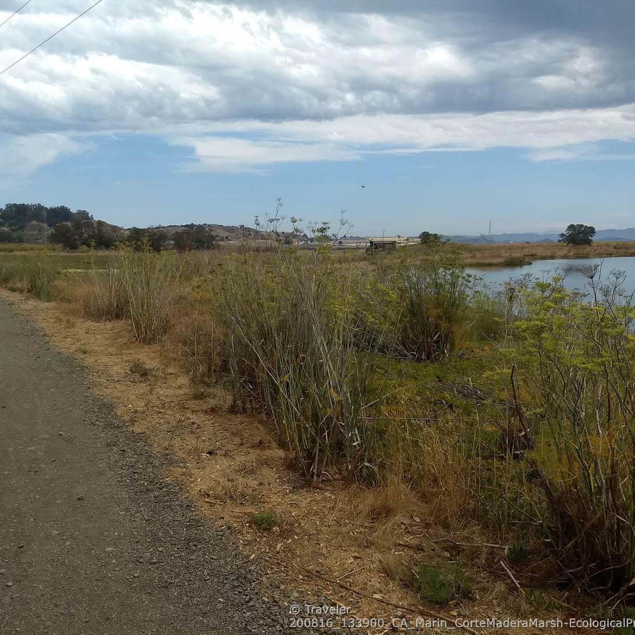
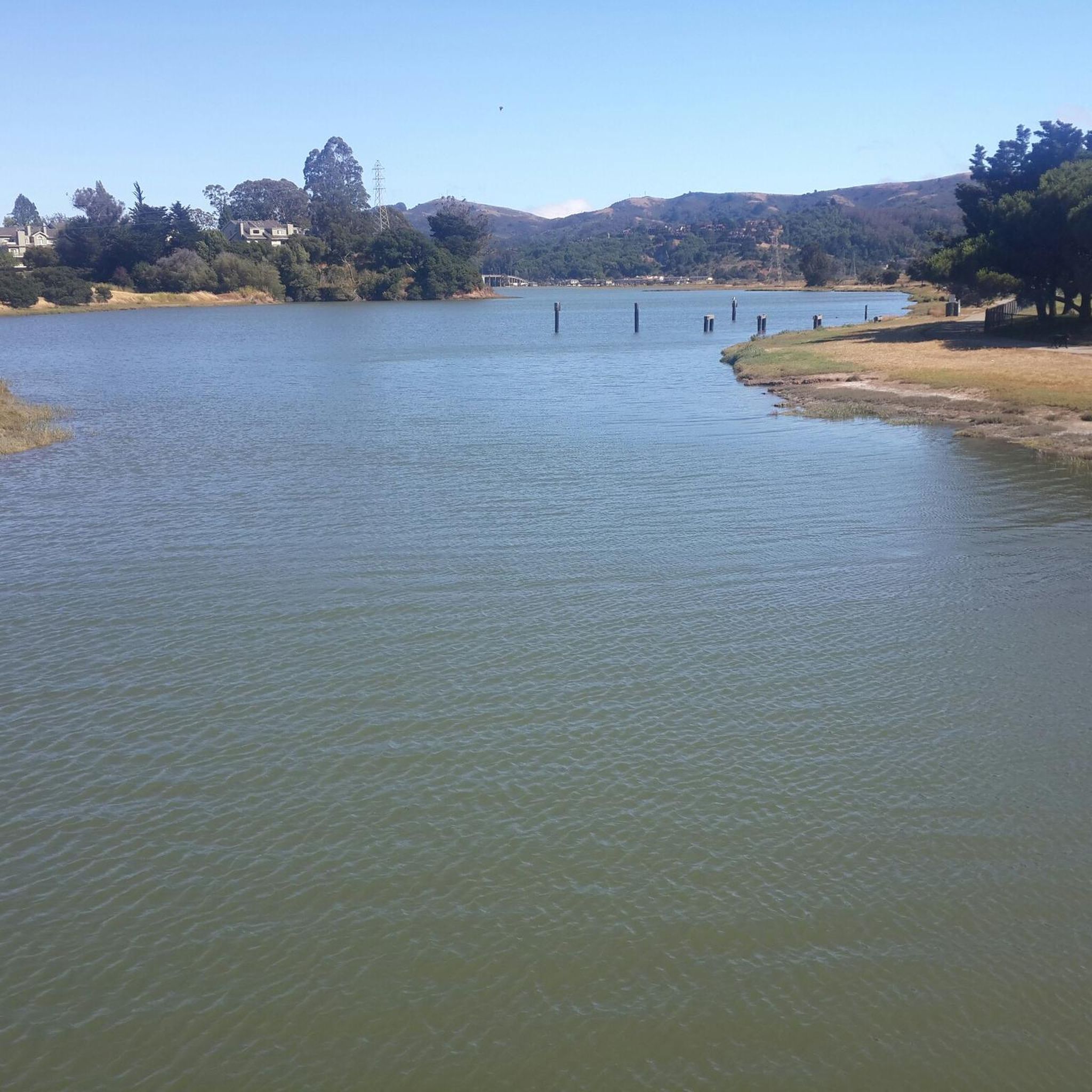
The Sausalito Bike Path runs through Mill Valley. It's a paved route with great views of the wetlands on the old Northwest-Pacific rail line, which operated from 1884 until its closure in 1971. The path ends near Mike’s Bikes in Marin City, where riders can continue along the busy Bridgeway into Sausalito or take quieter marina backroads.
2
0

The Pantoll Campground is a First-come/first-serve site in Mt. Tamalpais State Park. Each site has a barbeque grill, a fire ring, and a picnic table. You need to pay for the site at the Ranger Station as you enter the park.
1
0

Now open for more than a hundred years, this inn welcomes visitors high on the flanks of Mount Tamalpais. The guestrooms mostly face east, but the grounds include great vantages to the west over the Bay. There's also a restaurant, and this has been voted one of the most romantic spots in the Bay Area several times over.
0
0

From this spot on the Shoreline Highway in Mount Tamalpais State Park you get great views over the smooth road to Gull Rock. This is a lovely spot on a lovely stretch of road along the rugged coast.
0
0
Frequently Asked Questions
What types of terrain can I expect on road cycling routes in Camino Alto Open Space Preserve?
The preserve offers diverse terrain, including a network of fire roads and well-paved sections. While many routes feature smooth, paved surfaces, you should be prepared for hilly sections that provide a good workout. You'll cycle through varied landscapes, from oak and wildflower forests to redwood and Douglas fir stands.
Are there road cycling routes suitable for beginners in Camino Alto Open Space Preserve?
Yes, Camino Alto Open Space Preserve offers routes for various fitness levels. For an easier ride, consider the Camino Alto Road – Sausalito Path loop from Corte Madera, which is approximately 23.4 km with a moderate elevation gain of around 214 meters.
Where can I find challenging road cycling routes in the preserve?
For experienced cyclists seeking a significant challenge, the preserve has several options. The Pantoll Road – Mount Tamalpais Summits loop from Mill Valley is a difficult 47.5 km trail with over 1187 meters of elevation gain. Another challenging option is the Pan Toll Road via Panoramic Highway, a 31.0 km route with over 714 meters of climbing, offering stunning panoramic views.
What kind of views can I expect while road cycling in Camino Alto Open Space Preserve?
Cyclists are treated to spectacular vistas. You can enjoy expansive panoramic views of the entire Bay Area, including iconic landmarks like San Francisco and the Bay Bridge. On clear days, you might even spot the distant peaks of Mount Diablo to the east and Mount Tamalpais to the north. Some routes also offer views of horses grazing on nearby Horse Hill.
Are there any notable natural features or attractions along the road cycling routes?
Yes, the preserve is rich in natural beauty. You'll ride through diverse forests, including oak, wildflower, redwood, and Douglas fir stands. The well-forested, west-facing slopes provide shady access, especially pleasant on sunny days. Specific points of interest include the Camino Alto Road itself, and sections like the Middle Summit / Escalon Fire Road.
How many road cycling routes are available in Camino Alto Open Space Preserve?
There are over 90 road cycling routes available in Camino Alto Open Space Preserve, catering to various skill levels. This includes approximately 39 easy routes, 37 moderate routes, and 16 difficult routes.
What do other road cyclists enjoy most about the routes in Camino Alto Open Space Preserve?
The routes in Camino Alto Open Space Preserve are highly rated by the komoot community, with an average score of 4.6 stars from over 170 reviews. Cyclists often praise the diverse terrain, the challenging hilly sections, and the rewarding panoramic views of the Bay Area. The mix of fire roads and paved sections also provides a varied and engaging experience.
Are there any circular road cycling routes in the preserve?
Yes, many routes in the preserve are designed as loops. For example, the Bothin Marsh Preserve – Camino Alto Road loop from Mill Valley is a popular moderate option, and the Camino Alto Road – Corte Madera Creek loop from Mill Valley offers a longer, moderate ride.
What is the best time of year for road cycling in Camino Alto Open Space Preserve?
While specific seasonal recommendations aren't provided, the preserve's diverse forests and well-forested slopes suggest that it can be enjoyable across multiple seasons. The shady access on west-facing slopes would be particularly inviting on sunny days, making it a good option even during warmer months.
Is public transport available to access Camino Alto Open Space Preserve for road cycling?
The preserve is located in Mill Valley, California. While specific public transport routes directly to trailheads are not detailed, Mill Valley is generally accessible by public transport, which could provide connections to the preserve area. It's advisable to check local transit schedules for the most current information.
Are there any specific fire roads suitable for road bikes in the preserve?
Yes, the preserve features a network of fire roads, and some are suitable for road cycling, especially those with relatively level sections along ridges. The Middle Summit / Escalon Fire Road is one such example often used by cyclists.
Most popular routes in Camino Alto Open Space Preserve
Most popular attractions in Camino Alto Open Space Preserve

Get inspired with the komoot mobile app


Explore more
Browse the best Road cycling routes in other regions.
