The best MTB trails in Camino Alto Open Space Preserve
4.7
(233)
2,547
riders
87
rides
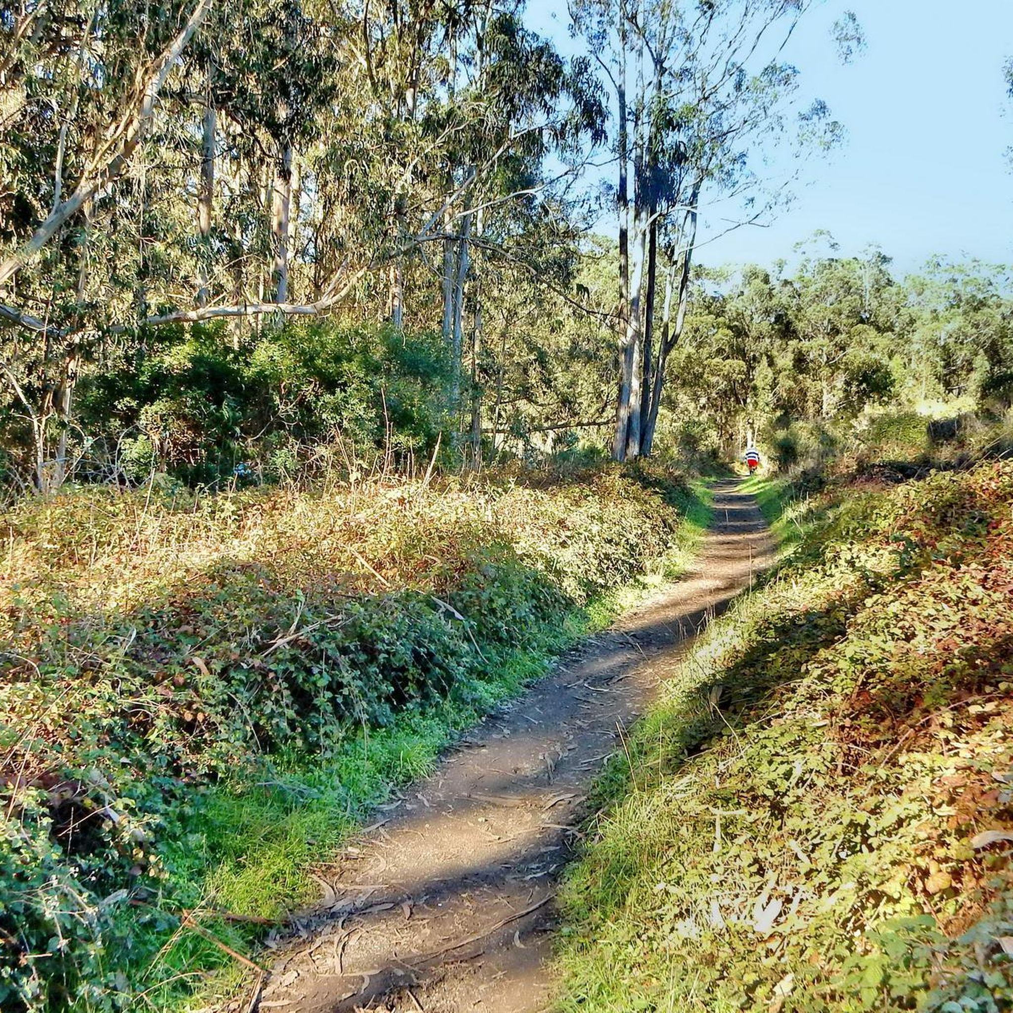
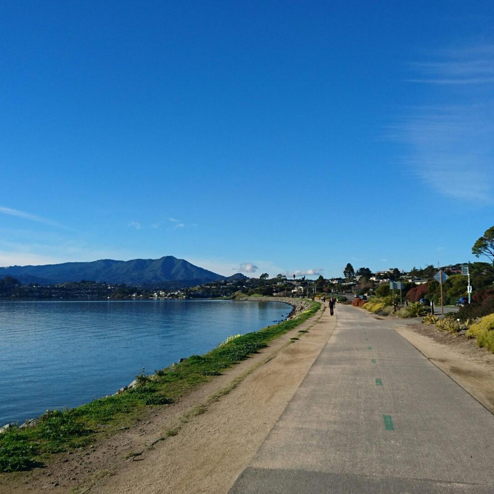
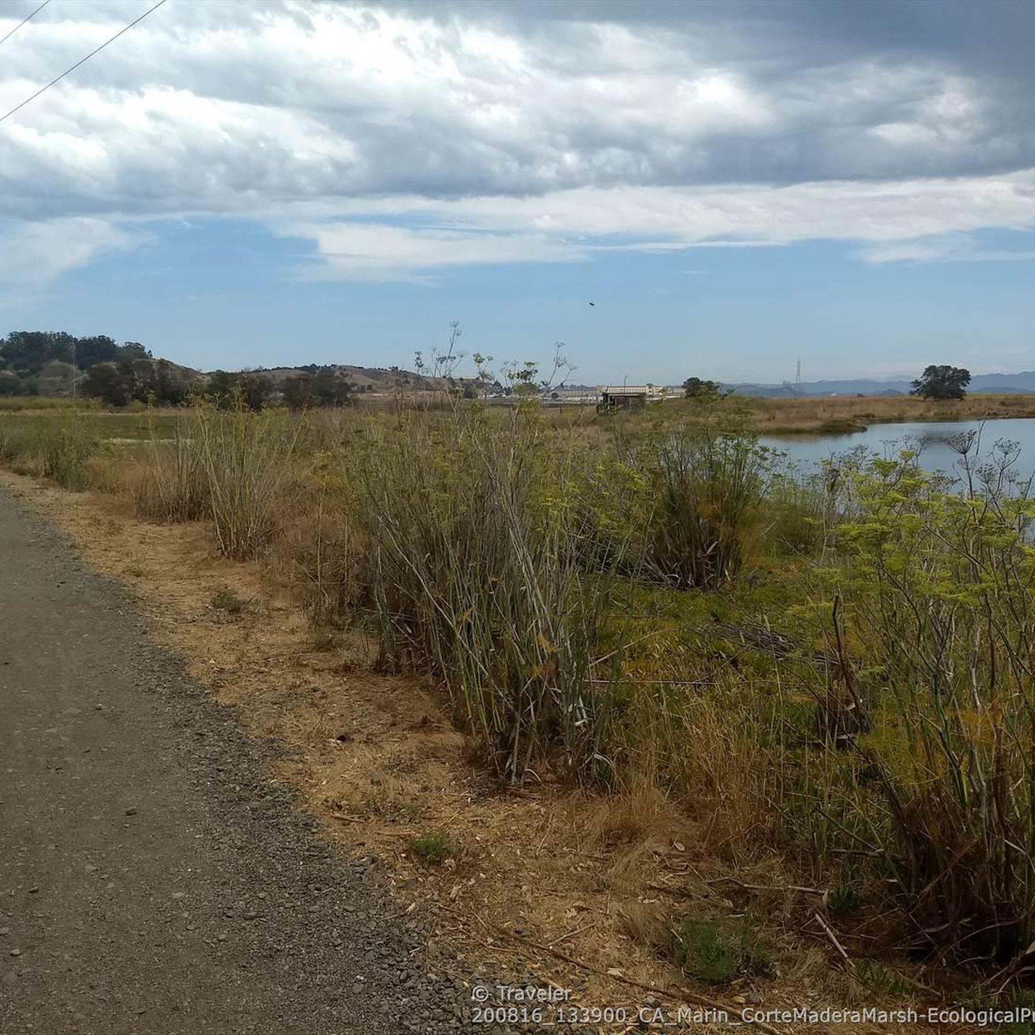
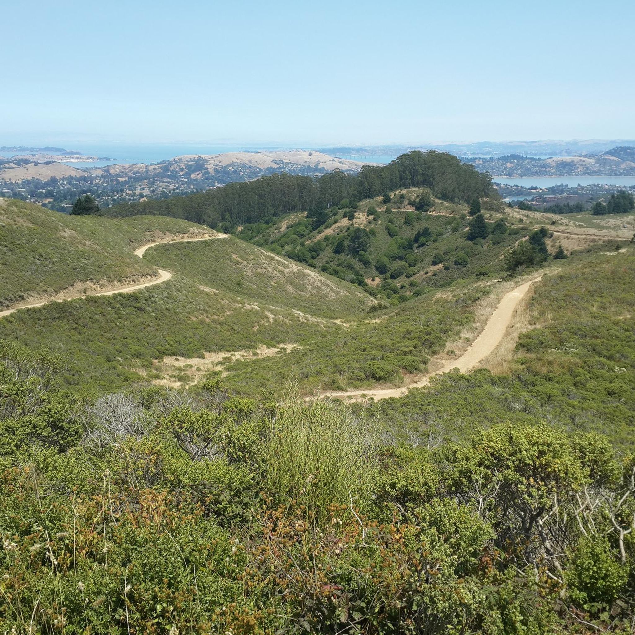
Mountain biking in Camino Alto Open Space Preserve offers a network of trails winding through varied terrain in Marin County. The preserve is characterized by rolling hills, dense woodlands, and open grassy areas, providing diverse landscapes for mountain bikers. Riders can expect a mix of ascents and descents, with opportunities for scenic views across the surrounding region. The area's natural features create a dynamic environment suitable for different skill levels.
Best mountain bike trails in Camino Alto Open Space Preserve
…Last updated: May 13, 2026
5.0
(1)
13
riders
27.1km
02:15
510m
510m
Moderate mountain bike ride. Good fitness required. Suitable for all skill levels.
5
riders
43.6km
03:42
970m
970m
Hard mountain bike ride. Very good fitness required. Suitable for all skill levels.

Sign up for free
5
riders
14.1km
01:29
450m
450m
Moderate mountain bike ride. Good fitness required. Suitable for all skill levels.
4.8
(9)
110
riders
Moderate mountain bike ride. Good fitness required. Suitable for all skill levels.
4.9
(14)
82
riders
31.4km
03:05
900m
900m
Moderate mountain bike ride. Good fitness required. Suitable for all skill levels.
Get access to more routes and recommendations from other explorers.
Sign up for free
Already have an account?
Our route recommendations are based on thousands of hikes, rides, and runs completed by other people on komoot.
Start today with a free account
Your next adventure awaits.
Login or Signup
Tips from the Community

Batterij Townsley is a place where nature and history meet. As you climb along the rugged cliffs of the Marin Headlands, the old coastal defense slowly emerges from the landscape. Once at the top, a panorama opens up that will leave you speechless: the Pacific Ocean, the Golden Gate Bridge, and the endless horizon. The abandoned bunkers and tunnels give the place a mysterious atmosphere, as if time has stood still here. A perfect stop to enjoy, wander, and completely immerse yourself in the view.
1
0

Part of the coastal defenses along Coastal Trail, latest remnants here date from the WW II and early cold war era.
0
0

This is a great gravel road that takes you from the summit of Mount Tam to West Point. The road is wide and not very technical, but the views south across the foothills to Muir Woods are fantastic.
0
0

Pantoll Road is a beautiful, mostly paved route through Mount Tamalpais State Park, connecting the Panoramic Highway to Ridgecrest Boulevard. It winds closely along the curves of the hillside, with some shade from the trees in some spots. There are fantastic views along the way of San Francisco and the Marin Headlands, with incredible viewpoints over the Pacific coastline.
0
0

I've been coming here for 11 years. It's always my first contact with the ocean after landing at SFA. The smell of eucalyptus and the salt-soaked air
0
0
After looping around West Point the Railroad Grade trail snakes through open and tree-lined sections with fun curves.
0
0
On clear days views open up along the trail across the bay and including the San Francisco skyline
0
0
There are still remnants of old train platforms visible where the Gravity cars used to intersect with the Mt Tam Railroad.
0
0
Frequently Asked Questions
What are the difficulty levels of mountain bike trails in Camino Alto Open Space Preserve?
Camino Alto Open Space Preserve offers a range of mountain bike trails suitable for various skill levels. You'll find moderate routes with a mix of climbs and descents, as well as more difficult trails for experienced riders. Overall, there are 10 easy, 60 moderate, and 19 difficult routes available.
Are there beginner-friendly mountain bike trails in Camino Alto Open Space Preserve?
Yes, Camino Alto Open Space Preserve has 10 easy mountain bike routes that are suitable for beginners or those looking for a less strenuous ride. These trails typically feature gentler gradients and smoother surfaces, making them ideal for building confidence.
What are the typical lengths of mountain bike trails in Camino Alto Open Space Preserve?
Trail lengths vary significantly. For instance, a popular moderate route like Mountainbike loop from Corte Madera is about 8.8 miles (14.1 km), while longer, more challenging rides such as Old Mine Trail (lower) 🌲 – Miwok Trail loop from Mill Valley can extend to 27.2 miles (43.7 km).
Is there parking available for mountain bikers in Camino Alto Open Space Preserve?
While specific parking lots are not detailed in the trail data, open space preserves in Marin County typically have designated parking areas at trailheads. It's advisable to check local signage or specific route descriptions for the most convenient parking options near your chosen starting point, such as the Camino Alto OSP - Fire Road Trailhead.
Are there family-friendly mountain bike trails in Camino Alto Open Space Preserve?
Yes, with 10 easy routes, Camino Alto Open Space Preserve offers options that can be suitable for families. Look for shorter, less technical trails with minimal elevation gain to ensure an enjoyable experience for all ages. Always check the specific trail details for suitability before heading out.
When is the best time of year to go mountain biking in Camino Alto Open Space Preserve?
The mild climate of Marin County generally makes mountain biking enjoyable year-round. However, spring and fall offer the most pleasant conditions with moderate temperatures and lush scenery. Summers can be warm, and winters might bring rain, making some trails muddy. Always check current weather and trail conditions before your ride.
Is mountain biking possible in Camino Alto Open Space Preserve during winter?
Mountain biking is generally possible in Camino Alto Open Space Preserve during winter, thanks to Marin County's mild climate. However, winter months can bring rain, which may lead to muddy or slippery trail conditions. It's always best to check local weather forecasts and trail reports to ensure trails are open and safe for riding.
Are there good viewpoints along the mountain bike trails in Camino Alto Open Space Preserve?
Yes, the preserve's rolling hills and open grassy areas provide opportunities for scenic views across the surrounding region. Trails like Tennessee Valley Trailhead – Old Springs Trail loop from Mill Valley are known for offering varied terrain and scenic vistas. Keep an eye out for spots like Middle Summit / Escalon Fire Road 🗻🚵 for panoramic views.
What kind of wildlife can I expect to see while mountain biking in Camino Alto Open Space Preserve?
Camino Alto Open Space Preserve is home to various wildlife typical of Marin County's natural habitats. Riders might encounter deer, rabbits, and a variety of bird species. Keep a respectful distance and observe from afar to minimize disturbance to the local ecosystem.
What do other mountain bikers enjoy the most about mountain biking in Camino Alto Open Space Preserve?
The area is highly rated by the komoot community, with an average score of 4.7 stars from over 250 reviews. Reviewers often praise the diverse landscapes, which include rolling hills, dense woodlands, and open grassy areas, as well as the mix of ascents and descents that provide a dynamic riding experience.
What are some interesting landmarks or points of interest along the trails?
While riding, you might encounter interesting features like Camino Alto Road, which offers a unique cycling experience, or the Bob Middagh Trail. These spots provide a glimpse into the preserve's character and history.
Are there any circular mountain bike routes in Camino Alto Open Space Preserve?
Yes, many of the mountain bike trails in Camino Alto Open Space Preserve are designed as loops, offering a convenient way to explore without retracing your steps. Examples include the Mountainbike loop from Corte Madera and the Pantoll Road 🌲 loop from Mill Valley.
Most popular routes in Camino Alto Open Space Preserve
Most popular attractions in Camino Alto Open Space Preserve

Get inspired with the komoot mobile app


Explore more
Browse the best MTB trails in other regions.
