The best cycling routes in Mount Seymour Provincial Park
4.6
(220)
2,438
riders
64
rides
Touring cycling in Mount Seymour Provincial Park offers routes through varied terrain, including forested slopes and areas with views towards the coast. The park is characterized by its mountainous landscape, featuring significant elevation changes and dense coniferous forests. These routes often follow established pathways and bikeways, providing a mix of challenging climbs and more gradual sections suitable for touring bicycles.
Best touring cycling routes in Mount Seymour Provincial Park
- The most popular touring cycling route is Cassiar Bikeway loop from Cove Cliff, an 18.0 miles (28.9 km) trail that takes 1 hour 47 minutes to complete. This route utilizes a dedicated bikeway, offering a consistent surface for touring cyclists.
- Another top favourite among local touring cyclists is 3rd Street Bike Bridge – Mosquito Creek Bridge loop from Northland Terrace, a moderate 17.1 miles (27.5 km) path. This route features urban and natural sections, including bridge crossings and views of local waterways.
- Local touring cyclists also love the Seymour Trailway loop from Cove Cliff, a 19.2 miles (30.8 km) trail leading through forested areas and along a dedicated trailway, often completed in about 2 hours 28 minutes.
- Touring cycling in Mount Seymour Provincial Park is defined by forested trails, dedicated bikeways, and routes with coastal views, offering options for easy, moderate, and difficult ability levels.
- The routes in Mount Seymour Provincial Park are highly rated by the komoot community with an average score of 4.5 stars from over 200 reviews. More than 2,500 touring cyclists have used komoot to explore Mount Seymour Provincial Park's varied terrain.
Last updated: August 15, 2026
4.5
(8)
80
riders
30.4km
01:53
290m
290m
Moderate bike ride. Good fitness required. Mostly paved surfaces. Suitable for all skill levels.
5.0
(2)
33
riders
30.8km
02:28
510m
510m
Hard bike ride. Very good fitness required. Mostly paved surfaces. Suitable for all skill levels.

Sign up for free
5.0
(1)
4
riders
9.50km
00:42
120m
120m
Easy bike ride. Great for any fitness level. Mostly paved surfaces. Suitable for all skill levels.
14
riders
16.7km
01:15
370m
370m
Moderate bike ride. Good fitness required. Mostly paved surfaces. Suitable for all skill levels.
8
riders
9.05km
00:58
250m
250m
Moderate bike ride. Good fitness required. Mostly paved surfaces. Suitable for all skill levels.
Get access to more routes and recommendations from other explorers.
Sign up for free
Already have an account?
Our route recommendations are based on thousands of hikes, rides, and runs completed by other people on komoot.
Start today with a free account
Your next adventure awaits.
Login or Signup
Popular around Mount Seymour Provincial Park

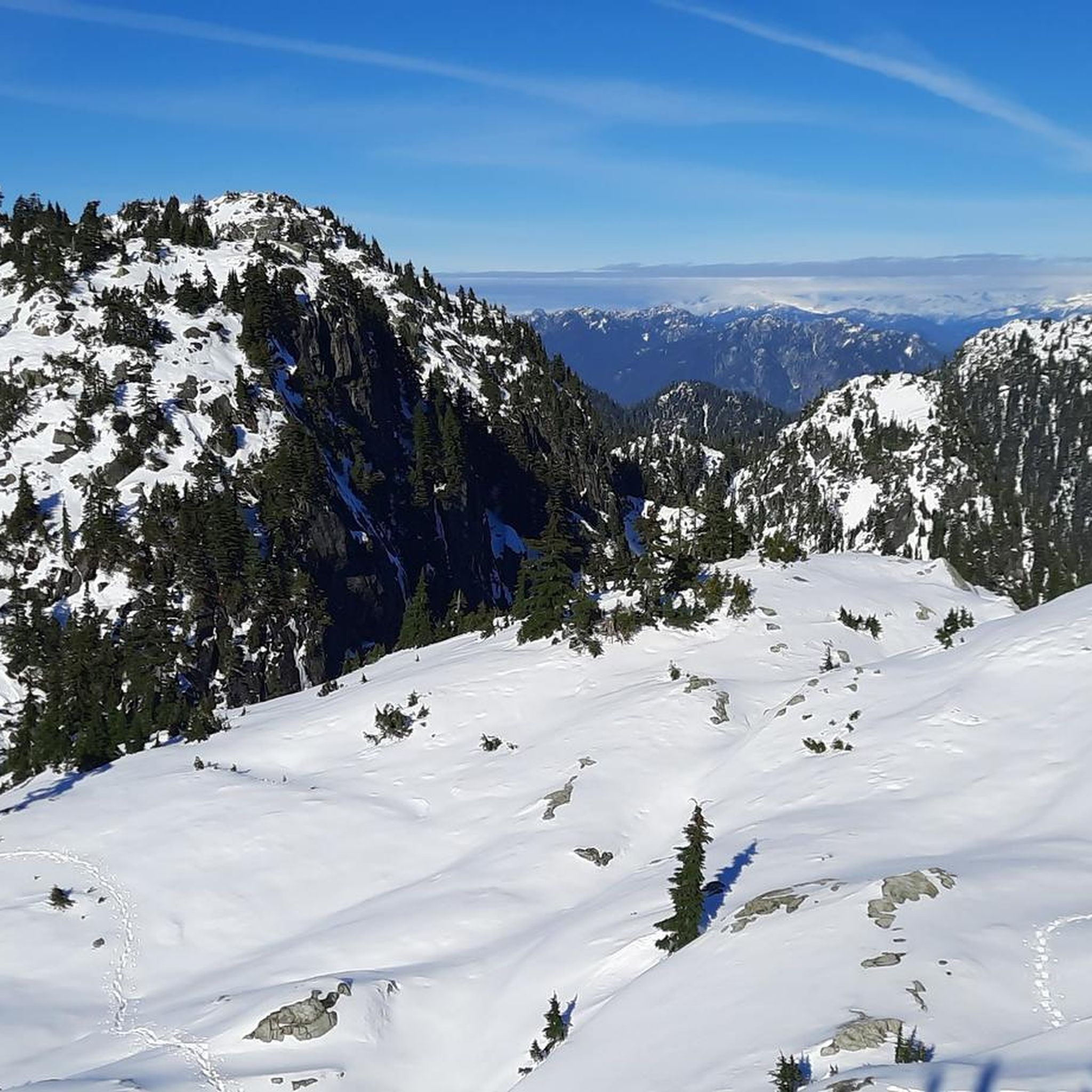
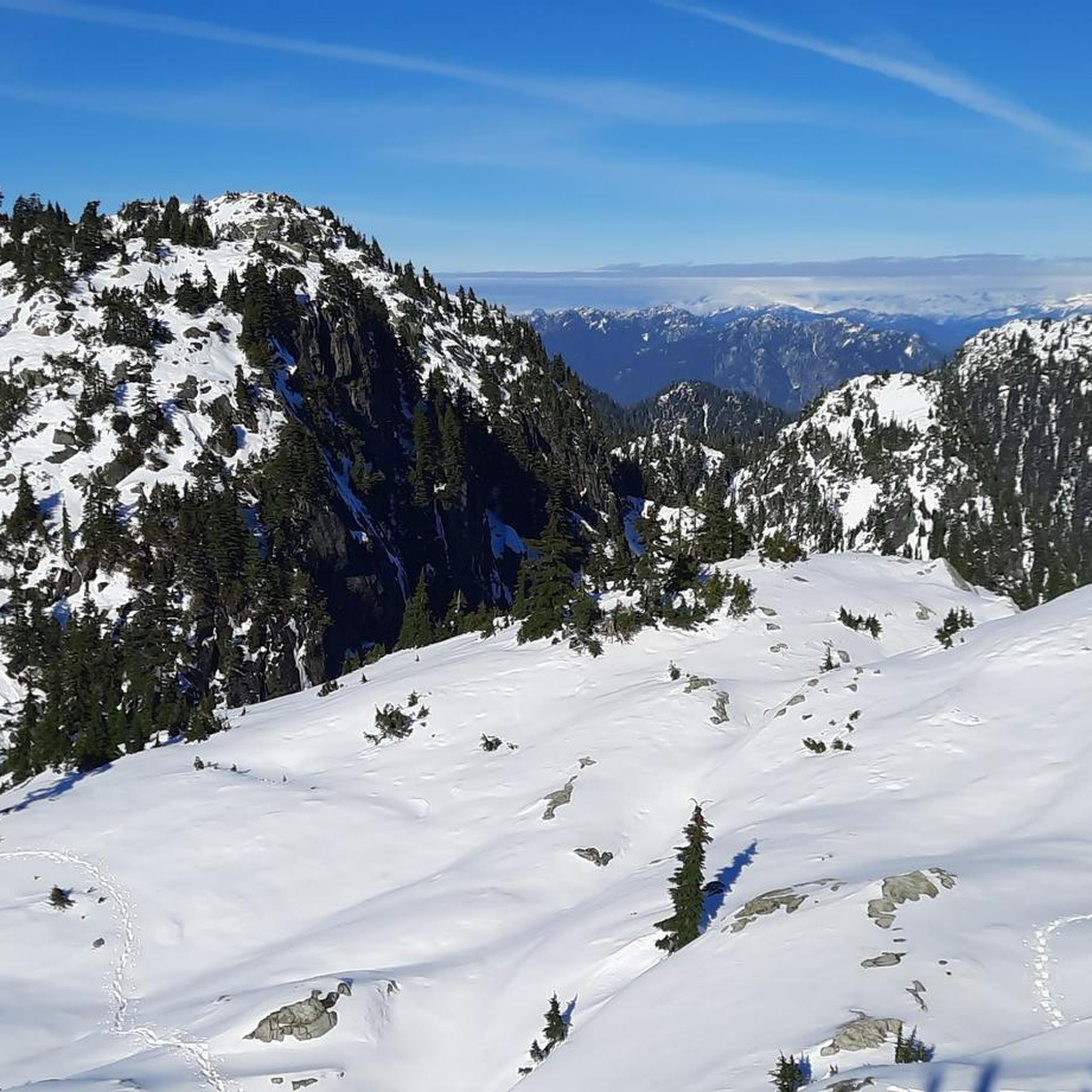
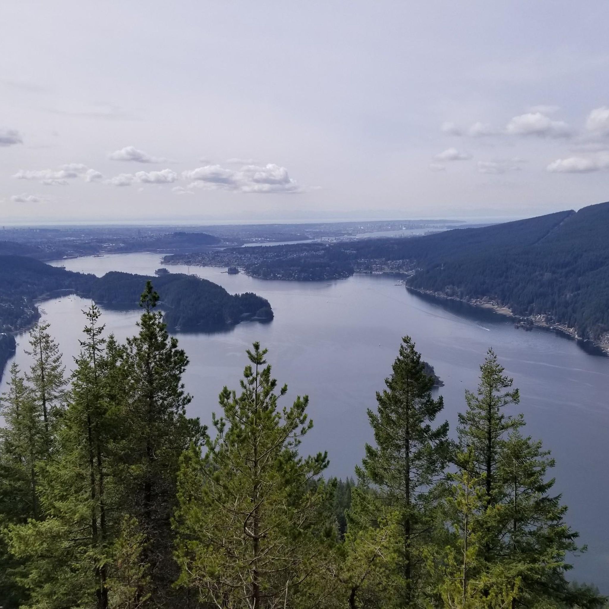
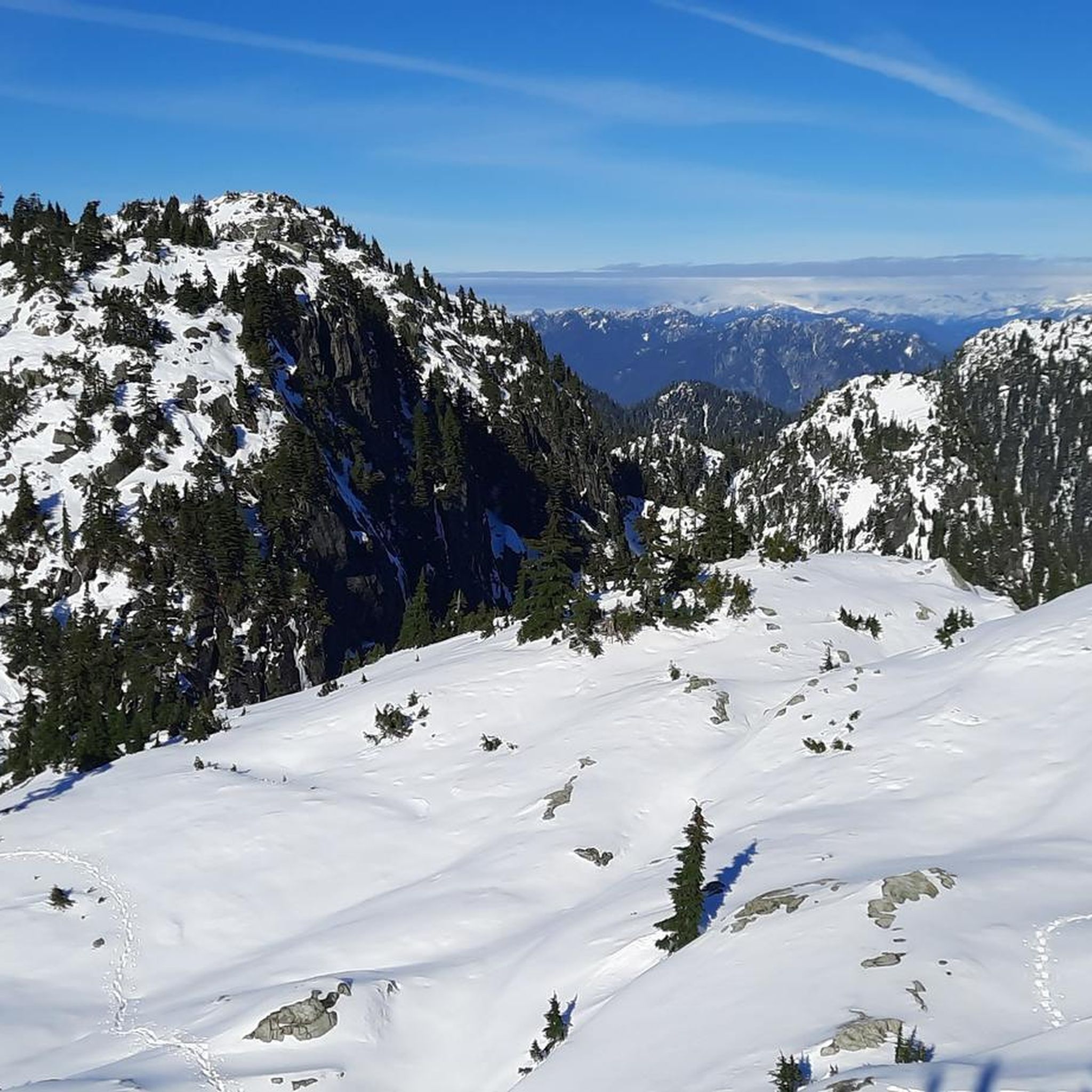

Other adventures in Mount Seymour Provincial Park

Tips from the Community

Easy to access, with a few tables and benches available.
0
0

Just north a few yards form here across Main Street is Phibbs Exchange, a large bus terminal. It's a great place to get off to hike or bike across the Second Narrows Bridge Trail if you don't have access to a car.
0
0
On the east side of the bridge’s northern end, near the base of the bridge is a memorial to honor 27 workers who lost their lives on June 17, 1958, when a section of the original Second Narrows Bridge collapsed during construction.
0
0
The bike and foot path on the Ironworkers Memorial Bridge is part of the Spirit Trail and regional cycling network. It spans 1.3 km across Second Narrows, sitting 60 meters above the water. This well-maintained paved trail has awesome views of Downtown Vancouver, Mount Seymour, and the North Shore Mountains. It can get loud and often windy up there.
1
0

A nice monument to workers who lost their lives.
0
0

The Seymour River Suspension Bridge was completed and opened in December 2018. This made it possible to walk the Fisherman's Trail (North) all the way through again. After the former Twin Bridges had to be demolished in 2014 following a rockslide and damming of the Seymour River, there was no longer a crossing at this point in the Lower Seymour Conservation Reserve. The Twin Bridges were originally built in 1908 to carry pipelines and were later supplemented by a parallel pedestrian bridge. Years later, the two bridges were combined to form one bridge. https://www.vancouvertrails.com/blog/seymour-river-suspension-bridge/
2
0
The Elbow Trail leads from Fisherman's Trail (North) to a prominent bend in the Seymour River. Its watershed lies within the Lower Seymour Conservation Reserve. In the summer months, you can swim in Elbow Pool. Two picnic tables are located on the embankment. (Visit May 23, 2025)
3
0

The trail that runs through the Seymour Demonstration Forest, or the Lower Seymour Conservation Reserve (https://metrovancouver.org/services/regional-parks/park/lower-seymour-conservation-reserve), is probably the most pleasant car-free paved trail in the Vancouver area. From the gazebo at the Rice Lake entrance to the gate at Seymour Dam, the path is 11 km long, with gentle rolling hills and curves. There are washrooms and a drinking fountain near the Rice Lake entrance. It is sometimes a few degrees chillier on this trail, even on a hot summer day, due to the trees, the elevation, and the valley that can trap a pocket of cool air. Cautions: - The road to the park is gated, and therefore inaccessible to cars, at night. - Throttle-actuated bikes are prohibited on the trail. - The trail has multiple speed gates with flexible bollards. - Since much of the trail is off-limits to cars and also out of range of cell phone service, be sure that your bike is in good working order, and that you are able to handle any likely mechanical issues. - Bears roam the area. (https://www.nsnews.com/local-news/glad-to-be-alive-man-t-bones-bear-while-cycling-in-north-vancouver-7015380)
2
0
Frequently Asked Questions
How many touring cycling routes are available in Mount Seymour Provincial Park?
Mount Seymour Provincial Park offers a wide selection of touring cycling routes, with over 70 options to explore. These routes cater to various skill levels, from easy to difficult.
What are the difficulty levels of touring cycling routes in Mount Seymour Provincial Park?
The routes in Mount Seymour Provincial Park range from easy to difficult. There are 23 easy routes, 41 moderate routes, and 10 difficult routes, ensuring options for all experience levels. For a challenging ride, consider the Seymour Trailway loop from Cove Cliff, which features significant elevation changes.
Are there family-friendly touring cycling routes in Mount Seymour Provincial Park?
Yes, there are several easy routes suitable for families. These routes often feature dedicated bikeways and less challenging terrain. While specific family-friendly routes aren't highlighted, the 23 easy routes provide good starting points for family outings.
What is the best time of year for touring cycling in Mount Seymour Provincial Park?
The best time for touring cycling in Mount Seymour Provincial Park is typically from late spring through early autumn. During these months, the weather is generally milder, and trails are clear of snow, offering optimal conditions for exploring the forested slopes and coastal views.
What are the winter conditions like for touring cycling in Mount Seymour Provincial Park?
Mount Seymour Provincial Park is known for its significant snowfall in winter, as it is a popular ski area. Touring cycling routes, especially at higher elevations, will likely be covered in snow and ice, making them unsuitable for cycling. Lower elevation routes might be accessible, but conditions can be unpredictable, so checking local weather and trail reports is essential.
Where can I park when visiting Mount Seymour Provincial Park for touring cycling?
Parking is available at various access points to Mount Seymour Provincial Park. Specific parking areas depend on the trailhead you choose. For routes starting from Cove Cliff, such as the Cassiar Bikeway loop, you would typically look for parking in the Deep Cove area or designated park lots.
Is Mount Seymour Provincial Park accessible by public transport for touring cyclists?
While Mount Seymour Provincial Park is primarily accessed by car, some public transport options might get you close to the park's lower areas or nearby communities like Deep Cove. However, direct public transport to specific trailheads within the park for cyclists with bikes can be limited. It's advisable to check TransLink schedules and bike policies for the most current information.
Do any touring cycling routes offer scenic viewpoints?
Many touring cycling routes in Mount Seymour Provincial Park offer scenic viewpoints, particularly those that traverse higher elevations or provide glimpses towards the coast. The park's mountainous landscape ensures opportunities for expansive views of the surrounding natural beauty and Burrard Inlet.
What kind of wildlife might I encounter while touring cycling in Mount Seymour Provincial Park?
Mount Seymour Provincial Park is home to diverse wildlife. While touring cycling, you might spot various bird species, squirrels, and perhaps deer. Black bears are also present in the park, so it's important to be aware of your surroundings, make noise, and carry bear spray as a precaution, especially during dawn and dusk.
Are there places to stop for refreshments or food near the touring cycling routes?
While there are no cafes directly within the provincial park on the cycling routes themselves, the nearby communities, particularly Deep Cove, offer a variety of cafes, restaurants, and shops where you can find refreshments and food before or after your ride. The Deep Cove Marina loop from Boulder Island, for example, brings you close to these amenities.
What do other touring cyclists enjoy the most about touring cycling in Mount Seymour Provincial Park?
The touring cycling routes in Mount Seymour Provincial Park are highly rated by the komoot community, with an average score of 4.5 stars from over 200 reviews. Reviewers often praise the varied terrain, the mix of forested trails and dedicated bikeways, and the rewarding coastal views. The sense of immersion in nature so close to an urban center is also frequently highlighted.
Are there any circular touring cycling routes in Mount Seymour Provincial Park?
Yes, many touring cycling routes in Mount Seymour Provincial Park are designed as loops, allowing you to start and end at the same point. Examples include the popular Cassiar Bikeway loop from Cove Cliff and the challenging Seymour Trailway loop from Cove Cliff.
Most popular routes in Mount Seymour Provincial Park
Most popular attractions in Mount Seymour Provincial Park

Get inspired with the komoot mobile app


Explore more
Browse the best Cycling routes in other regions.
