The best road cycling routes in Parco Della Magra - Vara
4.4
(1157)
23,358
riders
285
rides
Road cycling routes in Parco Della Magra - Vara traverse a diverse landscape at the border of Liguria and Tuscany. The region features coastal roads with views of the Ligurian Sea, serene river paths along the Magra and Vara valleys, and varied hilly terrains. This area offers a range of cycling experiences, from flat routes suitable for all levels to challenging climbs with significant elevation gains.
Best road cycling routes in Parco Della Magra - Vara
- The most popular road…
Last updated: October 4, 2026
4.4
(21)
385
riders
79.4km
04:14
1,460m
1,460m
Hard road ride. Very good fitness required. Mostly well-paved surfaces and easy to ride.
3.7
(7)
130
riders
Moderate road ride. Good fitness required. Mostly well-paved surfaces and easy to ride.

4.5
(4)
53
riders
49.9km
02:17
590m
590m
Moderate road ride. Good fitness required. Mostly well-paved surfaces and easy to ride.
4.4
(67)
1,269
riders
Moderate road ride. Good fitness required. Mostly well-paved surfaces and easy to ride.
4.6
(16)
463
riders
77.6km
04:09
1,390m
1,390m
Hard road ride. Very good fitness required. Mostly well-paved surfaces and easy to ride.
Get access to more routes and recommendations from other explorers.
Already have an account?
Our route recommendations are based on thousands of hikes, rides, and runs completed by other people on komoot.
Start today with a free account
Your next adventure awaits.
Tips from the Community

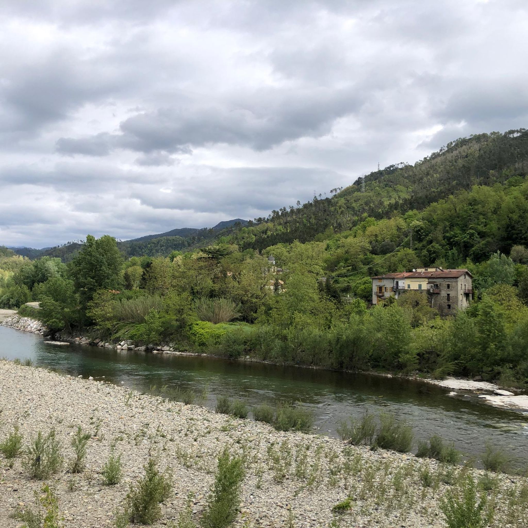
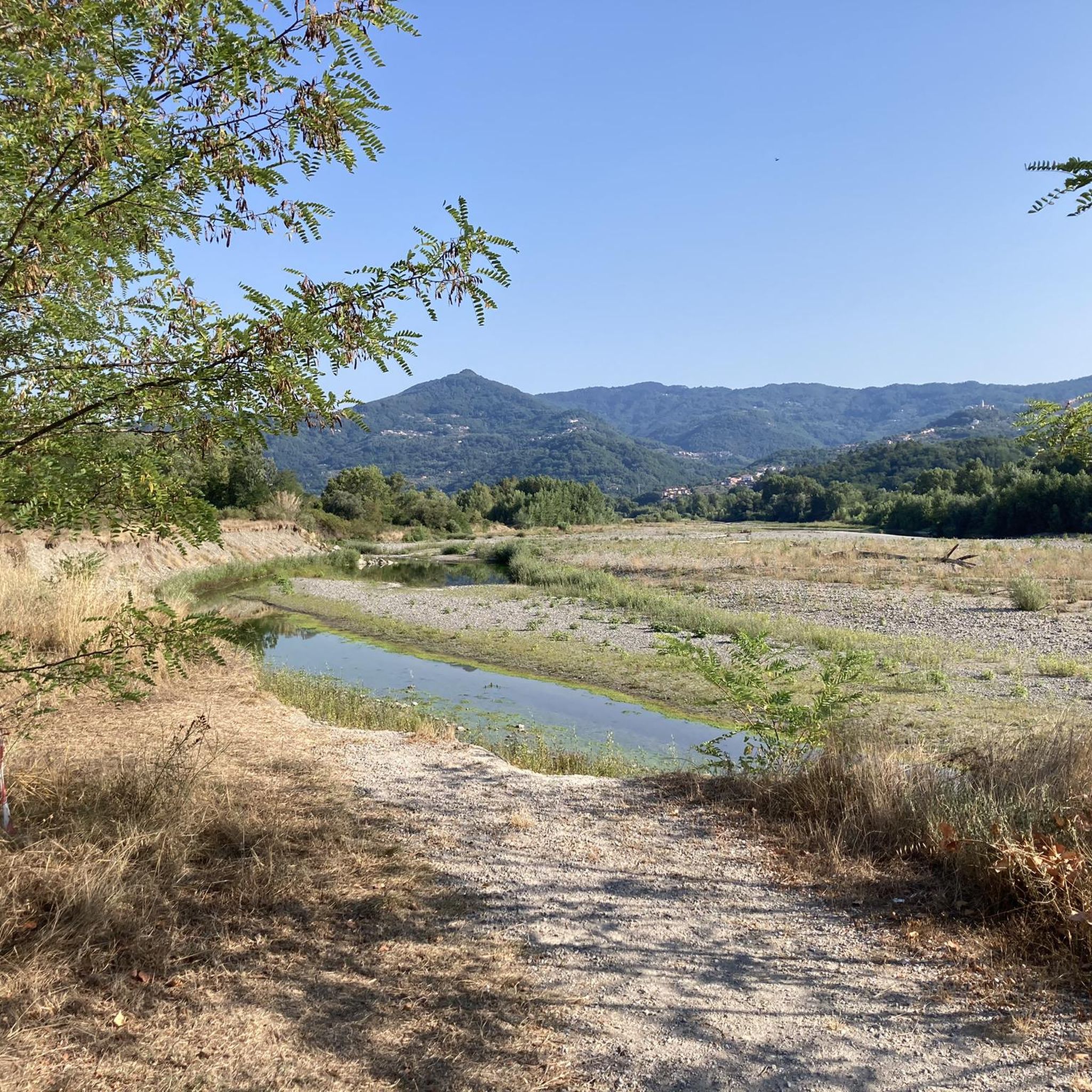
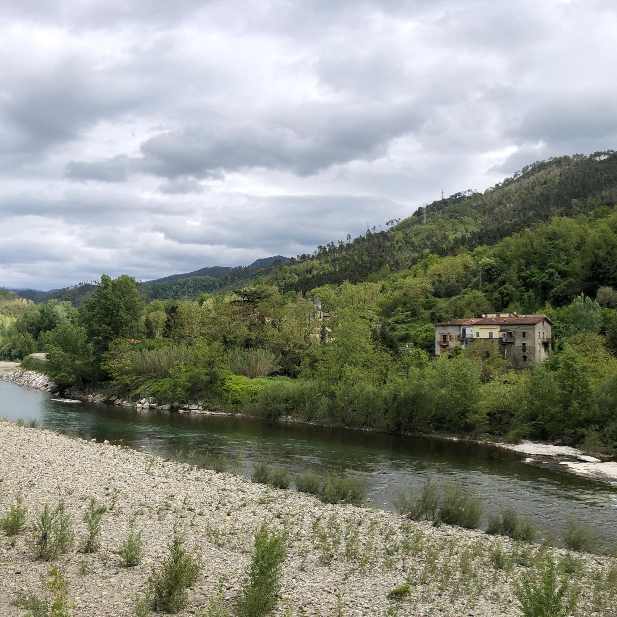
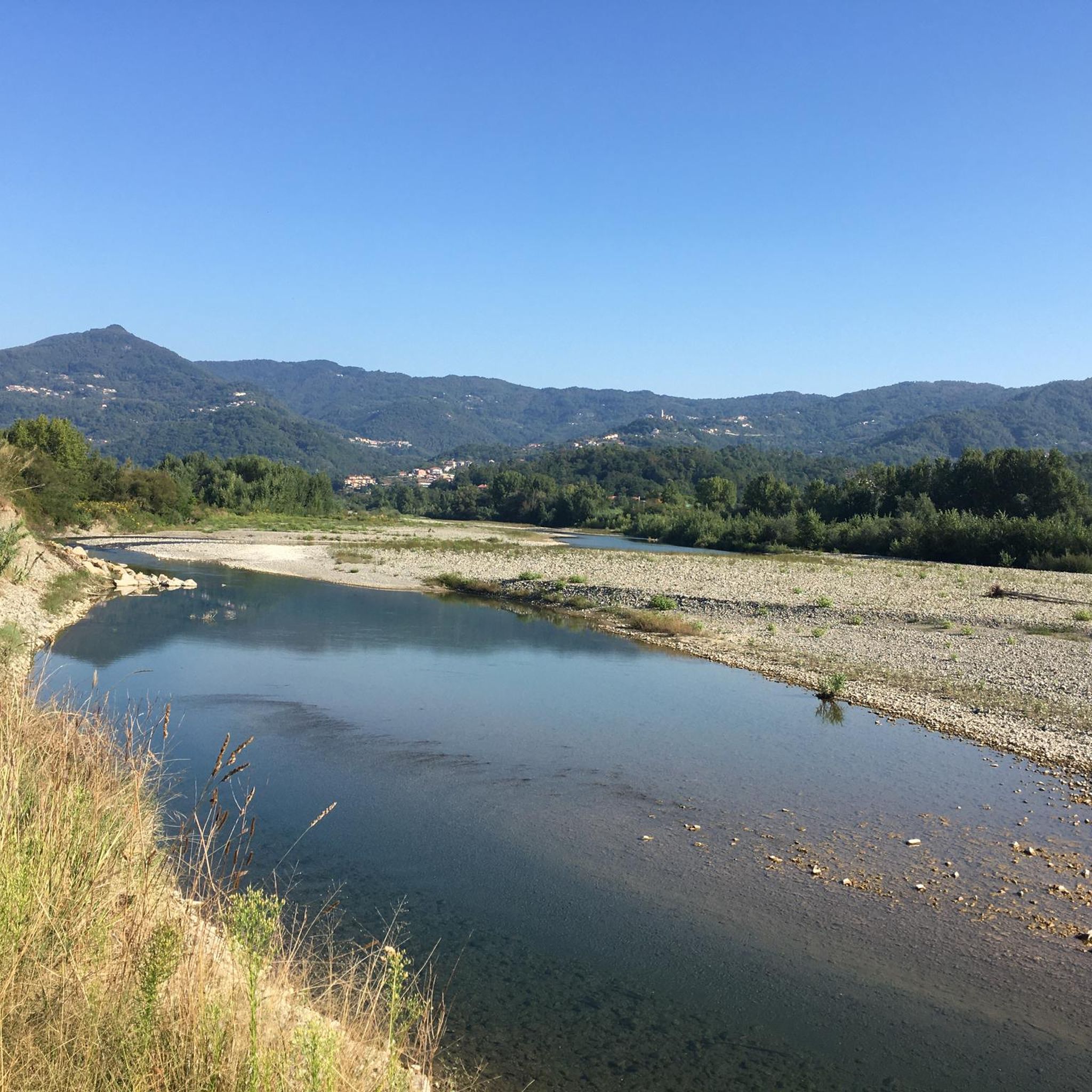
Very nice view in the morning
0
0
Very nice view in the morning
0
0

The city is located at the extreme east of the Liguria region, a few kilometers from the border with Tuscany, in the center of a deep natural gulf to which it gives its name. The gulf, also known as the Gulf of Poets for its beauty, is encircled by a continuous chain of heights whose highest peaks, Monte Verrugoli (749 m above sea level), Monte Parodi (673 m above sea level), Monte Santa Croce (543 m above sea level), and Monte Viseggi (347 m above sea level), located on the western side of the inhabited center, overlook the city of La Spezia. The municipal territory of Spezia is part of the interregional Magra river basin authority, while a small portion of the municipal territory, consisting of the small village of Tramonti and the surrounding hill, falls within the Cinque Terre National Park.
0
0
The various hamlets and villages that make up the municipality of Pignone are located in the valleys of the Pignone stream (a right tributary of the Vara river) and its tributary Casale, both minor valleys of the middle and lower Val di Vara. The territory is part of the Montemarcello-Magra-Vara Regional Natural Park.
0
0
The Cinque Terre are ancient fishing villages located along the rugged Italian coast. Each of these villages is characterized by colorful houses and vineyards clinging to the steep terraces carved into the coast. The harbors are crowded with fishing boats, and in the typical trattorias, you can try seafood specialties, as well as the famous Ligurian condiment: pesto. The Sentiero Azzurro, a hiking trail that runs along the coast, connects the Cinque Terre and offers splendid sea views.
0
0
The view of Lerici and the Gulf of La Spezia (known as the Gulf of Poets) offers one of the most enchanting panoramas in eastern Liguria, characterized by seaside villages, crystal-clear waters, and imposing fortifications overlooking the sea.
0
0
Vezzano Ligure, Vessan in Ligurian, V'zan in the Lunigiana dialect is an Italian municipality of 7,238 inhabitants in the province of La Spezia in Liguria.
0
0
Passo della Mola (or Valico della Mola) is a mountain pass at an altitude of approximately 650-655 meters, located in Liguria, between the province of La Spezia and the metropolitan city of Genoa. It connects the coastal area to the Val di Vara (municipality of Carro). Main characteristics Altitude: 650 - 655 m a.s.l. Location: Connects the area of Carro and Velva, serving as an alternative to the better-known Passo del Bracco. Road: It is traversed via the Provincial Road 50 (SP50). The road has a narrow carriageway, generally moderate gradients, but with several curves and tight hairpin bends. Panorama: On clear days, it offers a view stretching from the Maritime Alps to the Apuan Alps.
0
0
Frequently Asked Questions
How many road cycling routes are available in Parco Della Magra - Vara?
Parco Della Magra - Vara offers a wide selection of road cycling routes, with over 280 options to explore. These routes cater to various skill levels, from easy riverside paths to challenging climbs through hilly terrain.
What types of landscapes can I expect to see while road cycling in Parco Della Magra - Vara?
The region boasts highly diverse landscapes. You can cycle along coastal roads with breathtaking views of the Ligurian Sea, explore serene river paths in the Magra and Vara valleys, or tackle varied hilly terrains further inland. The Bridge over the Magra River – View of Lerici and the Gulf of La Spezia loop from Fiumaretta, for instance, offers coastal vistas.
Are there any easy road cycling routes suitable for beginners or families?
Yes, Parco Della Magra - Vara has 35 easy road cycling routes. The Lunense Canal cycle path, for example, is a flat, approximately 12 km route crossing the Magra Valley, ideal for families and those seeking rides without significant climbs. Riverside paths along the Magra also offer tranquil, easy cycling away from heavy traffic.
Where can I find challenging road cycling routes in the park?
For experienced cyclists seeking a challenge, there are 111 difficult routes available. The hilly terrains, particularly around the Montemarcello-Magra area, offer significant elevation gains. Routes like the Passo del Cerreto – Lago Cerretano (Cerreto Laghi) loop from Arcola provide substantial climbs and descents.
What are some notable viewpoints or landmarks along the road cycling routes?
Many routes offer scenic viewpoints and pass by historical landmarks. You can enjoy views of Lerici and the Gulf of La Spezia, or explore historical towns like Valeriano and Vezzano Ligure on routes such as the View of Valeriano, Liguria – Vezzano Ligure Old Town loop from Piana Battolla. The Bridge over the Magra River is also a prominent feature.
Can I find circular road cycling routes in Parco Della Magra - Vara?
Yes, many of the road cycling routes in the park are designed as loops, allowing you to start and end in the same location. Examples include the Bridge over the Magra River – View of Lerici and the Gulf of La Spezia loop from Fiumaretta and the Bridge over the Magra River – View of Lerici and the Gulf of La Spezia loop from Arcola.
What is the best time of year for road cycling in Parco Della Magra - Vara?
The diverse environments of Parco Della Magra - Vara make it appealing for road cycling across multiple seasons. Spring and autumn generally offer pleasant temperatures and vibrant scenery. While specific winter conditions are not detailed, the region's coastal and river valley areas may be milder than inland hilly sections.
Are there opportunities for wildlife spotting while cycling?
The natural heritage of the park is rich in fauna and flora. Along the river routes, especially near the Magra, you might spot species like the Kingfisher and Heron. Wildlife oases, such as the Arcola Oasis, provide excellent birdwatching opportunities, adding another dimension to your ride.
What do other road cyclists enjoy most about the routes in Parco Della Magra - Vara?
The road cycling routes in Parco Della Magra - Vara are highly rated by the komoot community, with an average score of 4.5 stars from over 850 reviews. Cyclists frequently praise the varied terrain, from coastal roads with stunning sea views to peaceful river valleys and challenging climbs, as well as the opportunity to combine nature and sport with culture and art in the historical villages.
Are there any historical or cultural sites accessible by road bike?
Absolutely. The park includes 20 towns and villages, such as the historical Santo Stefano Magra and the picturesque seaside villages of Tellaro, Lerici, and Montemarcello. Routes like the View of Valeriano, Liguria – Vezzano Ligure Old Town loop from Piana Battolla lead through such cultural highlights, allowing you to combine your ride with exploring local heritage.
Where can I find information about parking or public transport for accessing the routes?
While specific parking locations are not detailed for individual routes, many towns and villages within the park, such as Fiumaretta, Arcola, and Piana Battolla, serve as common starting points and likely offer parking facilities. For broader information on the park, you may find details on access via public transport or parking on the official regional tourism sites, such as visitspezia.it.
Most popular routes in Parco Della Magra - Vara
Most popular attractions in Parco Della Magra - Vara

Get inspired with the komoot mobile app


Explore more
Browse the best Road cycling routes in other regions.
