The best walks and hikes in the Taunus
4.6
(14730)
59,595
hikers
16,187
hikes
Hiking in the Taunus offers diverse landscapes within a low mountain range situated between the Rhine, Lahn, and Main rivers. The region features varied topography, including forested highlands, serene valleys, and meandering streams. Hikers can explore rolling hills and dense forests, with the western end presenting crags where the range meets the Rhine. The Großer Feldberg, at 880 meters, is the highest peak, providing panoramic views.
Best hiking trails in the Taunus
- The most popular hiking route is 3BurgenWeg,…
Last updated: September 28, 2026
4.6
(1713)
5,503
hikers
12.5km
03:36
310m
310m
Moderate hike. Good fitness required. Easily-accessible paths. Suitable for all skill levels.
4.6
(910)
2,703
hikers
12.0km
03:50
480m
480m
Hike the moderate Three Peaks Tour - Taunus, a 7.5-mile route summiting the region's highest peaks with expansive views.

4.7
(945)
3,078
hikers
12.8km
03:36
280m
280m
Moderate hike. Good fitness required. Easily-accessible paths. Suitable for all skill levels.
4.7
(702)
2,350
hikers
11.0km
03:24
360m
360m
Moderate hike. Good fitness required. Mostly accessible paths. Sure-footedness required.
4.8
(645)
2,152
hikers
15.4km
04:27
390m
390m
Moderate hike. Good fitness required. Easily-accessible paths. Suitable for all skill levels.
4.5
(409)
1,198
hikers
11.1km
03:13
280m
280m
Moderate hike. Good fitness required. Easily-accessible paths. Suitable for all skill levels.
4.8
(462)
1,368
hikers
11.1km
03:13
270m
270m
Moderate hike. Good fitness required. Mostly accessible paths. Sure-footedness required.
4.7
(426)
1,272
hikers
4.85km
01:28
160m
160m
Easy hike. Great for any fitness level. Easily-accessible paths. Suitable for all skill levels.
4.7
(455)
1,355
hikers
10.8km
03:05
240m
250m
Moderate hike. Good fitness required. Easily-accessible paths. Suitable for all skill levels.
4.6
(448)
1,551
hikers
11.2km
03:14
280m
290m
Moderate hike. Good fitness required. Easily-accessible paths. Suitable for all skill levels.
Get access to more routes and recommendations from other explorers.
Already have an account?
Our route recommendations are based on thousands of hikes, rides, and runs completed by other people on komoot.
Start today with a free account
Your next adventure awaits.
Popular around Taunus
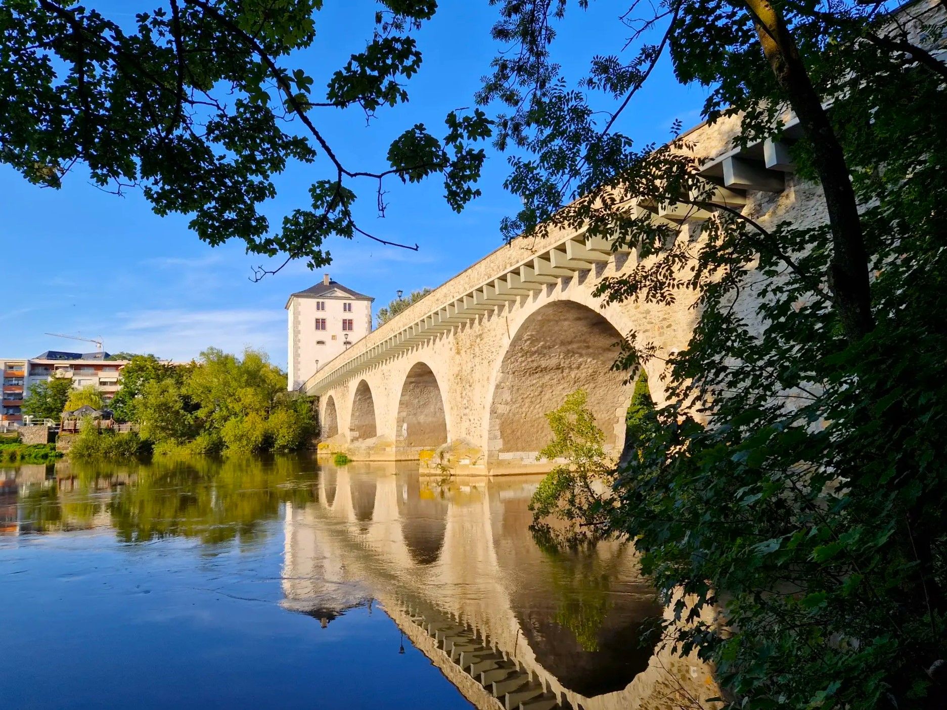
Lahnwanderweg Trail – The Lahn from its source to the estuary

11 Hessen trails – criss-cross through the countryside
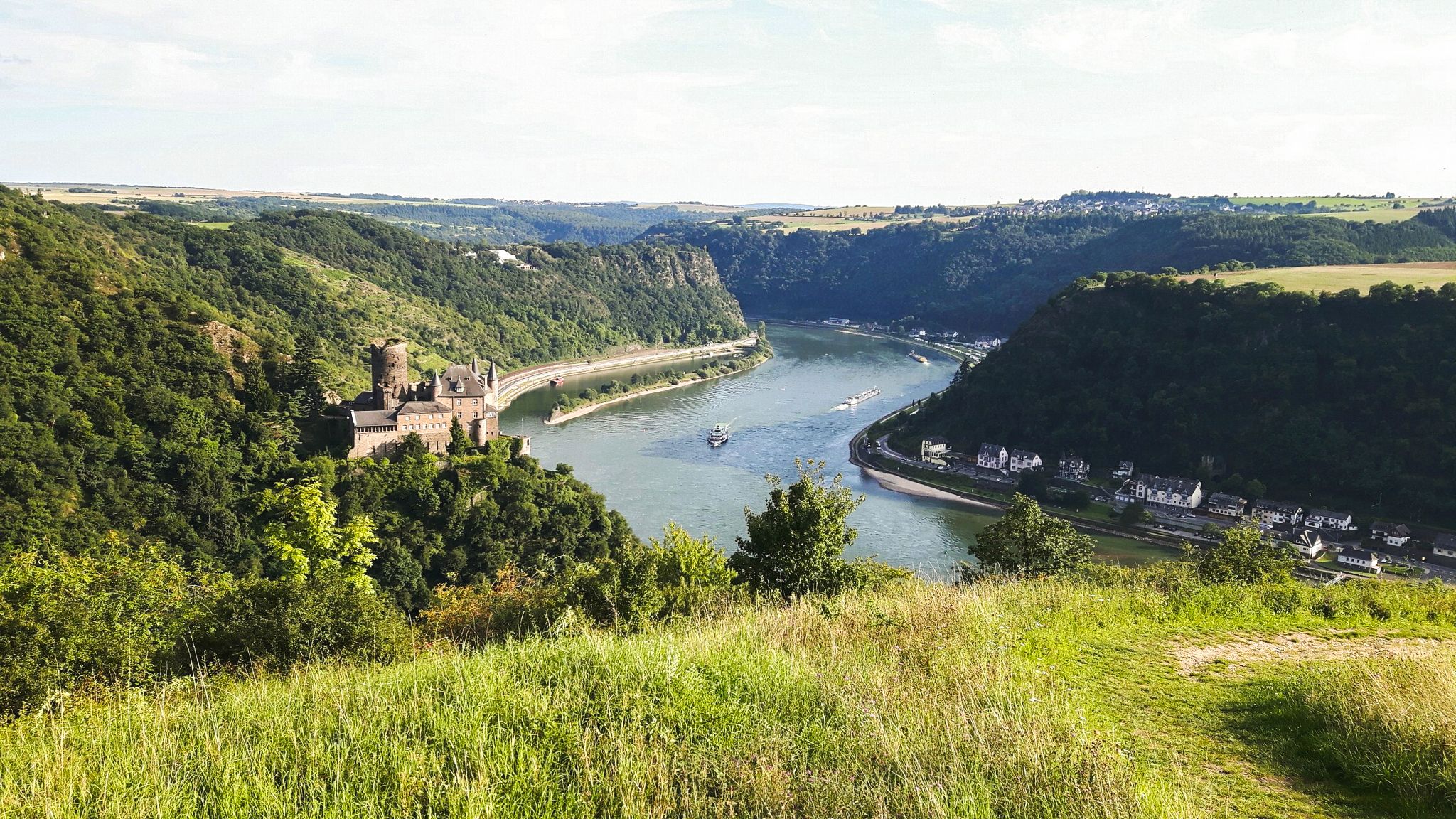
Rheinsteig Trail – The 21 stages along the Rhine
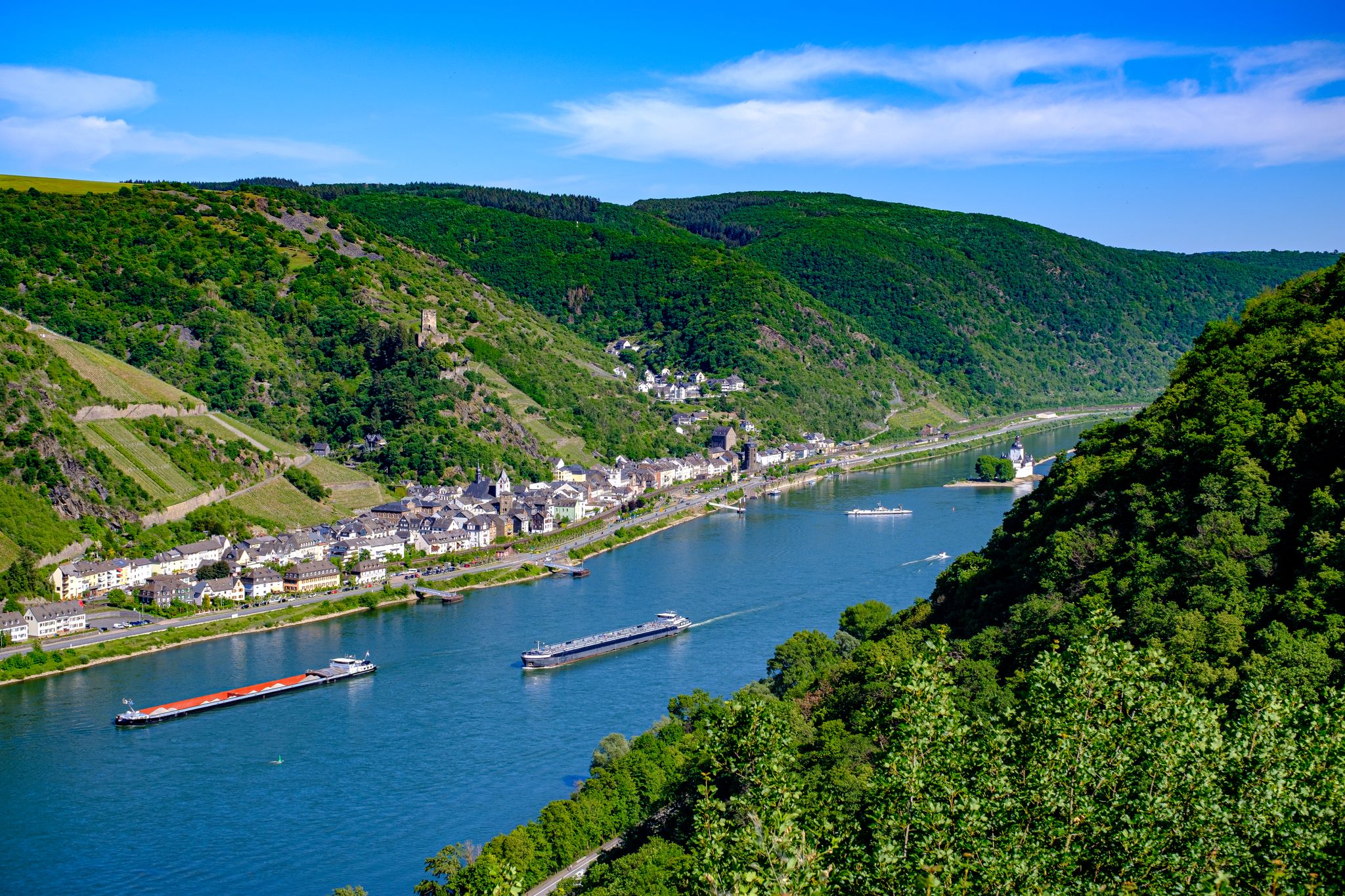
The Rhine Castle Trail – 13 stages of pure Rhine romanticism

Delightfully scenic hiking in the Taunus range
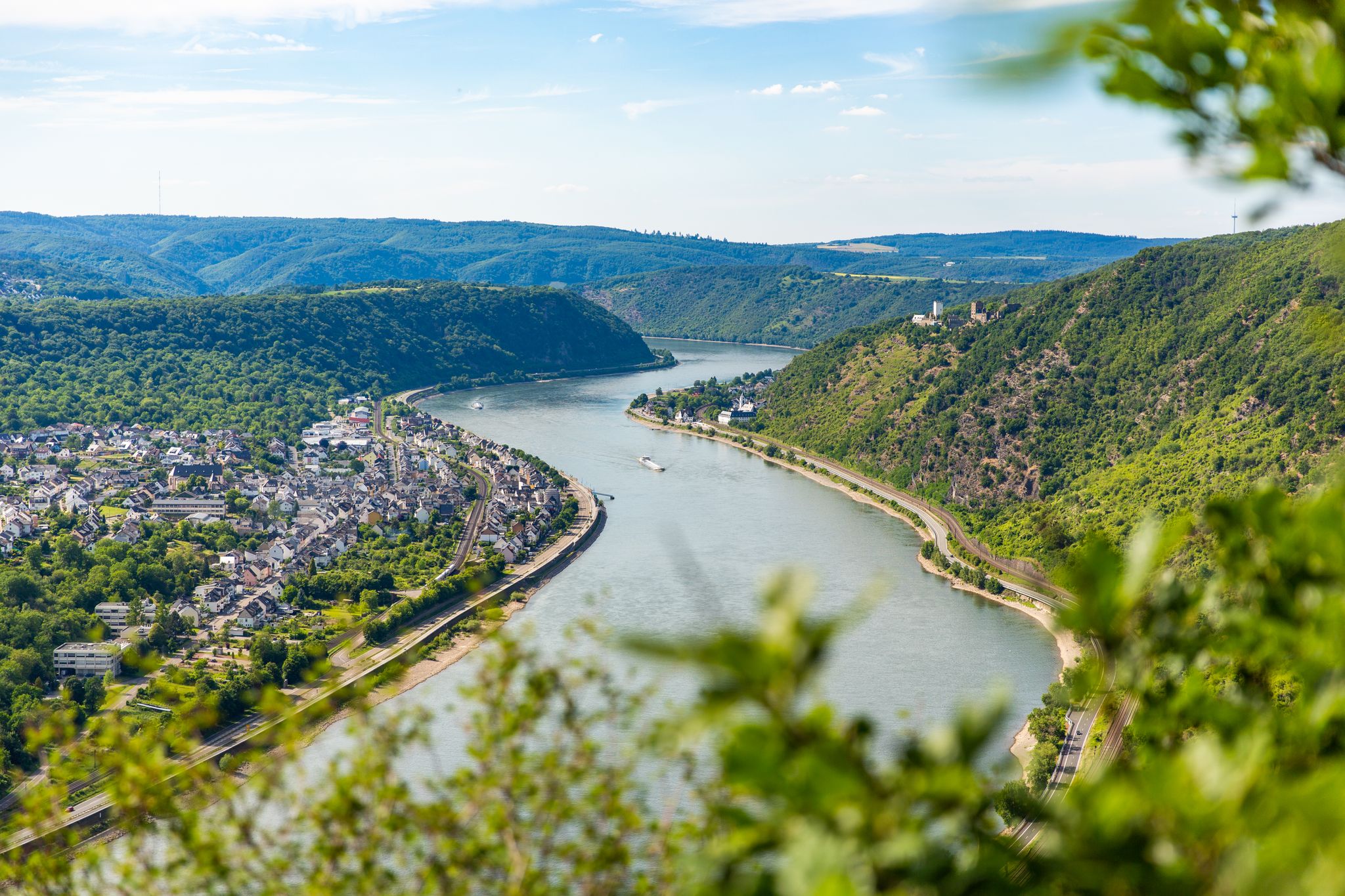
Up and down along the Rhine – adventure on the Rheinsteig

Dream Trails in the Rhine-Mosel-Eifel Region – Small Trails, Great Nature
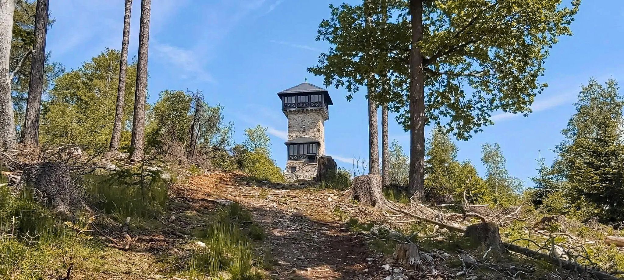
Autumn views: to the most beautiful vantage points in the RMV area

The National Natural Landscapes in Hessen
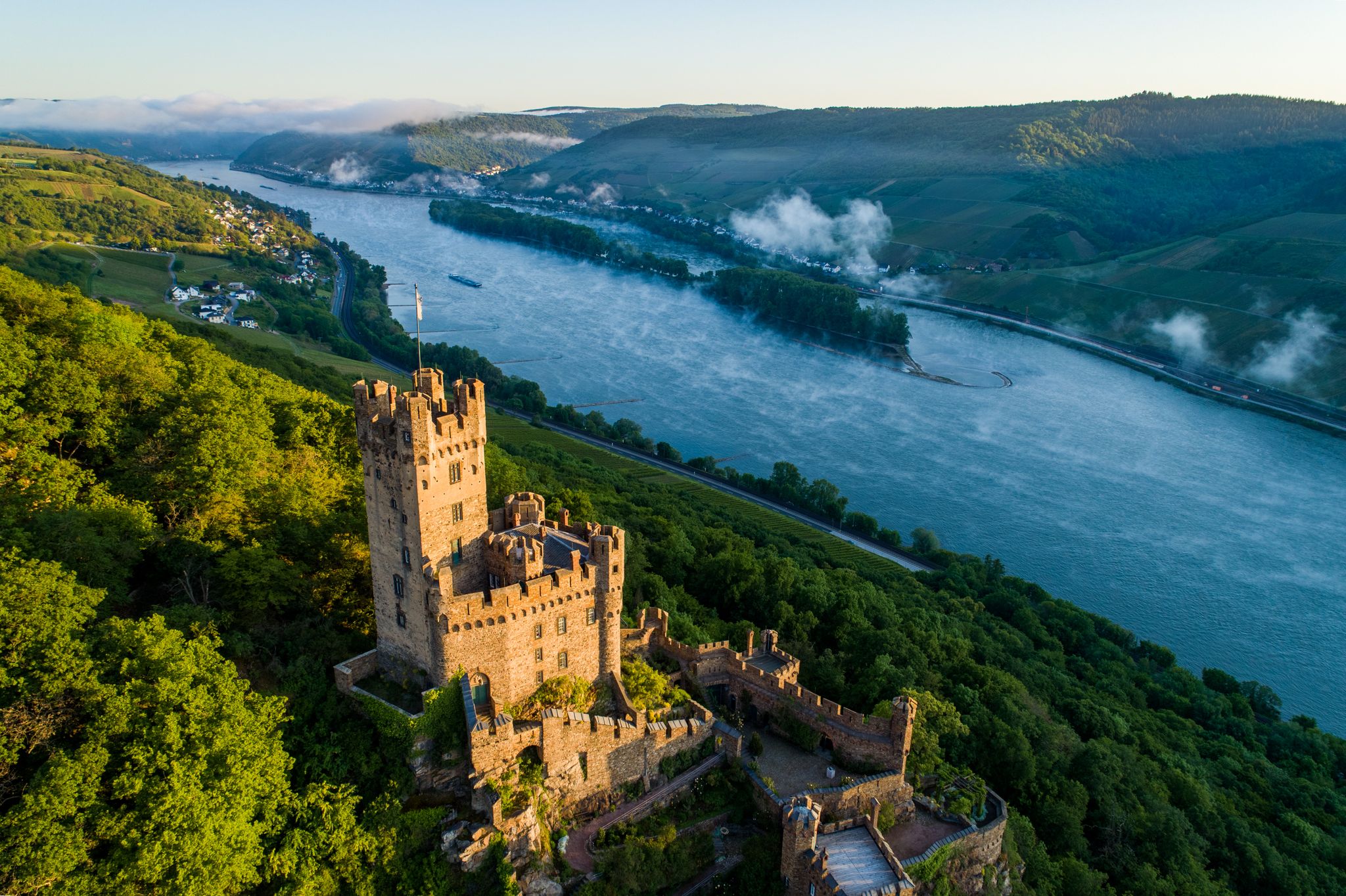
Stunningly beautiful – hiking on the RheinBurgenWeg
Other adventures in the Taunus


Tips from the Community

The Falkenstein castle ruins (historically also called Neu-Falkenstein) are located at an altitude of around 450 meters in the Falkenstein district of Königstein in the Taunus region. It is considered a striking landmark, visible from afar, and boasts a turbulent history. The fortress was built in the mid-14th century by the Lords of Bolanden-Falkenstein immediately next to the older foundations of Nürings Castle and was first mentioned in a document in 1364. After a rapid succession of various noble families – including the Counts of Nassau and Cronberg – the complex underwent a comprehensive modernization phase around the year 1500. During this time, modern defensive structures, two cannon towers, and the 18-meter-high keep, preserved to this day in the distinctive "butter barrel" style, were erected. After the Thirty Years' War, the fortification gradually lost its strategic importance. From around 1780 onwards, it was finally abandoned and gradually fell into ruin, as parts of the buildings were used as a quarry. The deliberate demolition of the historic walls could only be stopped in 1842. Since 1945, the protected area has been owned by the municipality (now the town of Königstein) and has since been continuously maintained and renovated with significant financial commitment from the local historical society. Today, the castle's elevated core is a popular excursion destination, offering visitors during the opening months (March to October) an impressive panoramic view over the Rhine-Main plain and the Taunus.
8
0

Historical information makes the path interesting
0
0

The family-run Gasthaus Ochs from 1896 is not just a hotel. There are also two restaurants and a café in the house.
1
0

Beautiful statue of Quetschehannes
0
0

Since 2010, a basalt statue of "Quetschehannes" has stood by the fountain in the village square. And further up the Steinkaut hill near the Krähenhütte (Crow's Hut), a steel statue of him now also towers over his village of Biebernheim.
1
0
The Viktoriatempel is a scenic highlight and an integral part of the local hiking trails in the Taunus Nature Park. The temple is located near Victoriapark and Altkönig in Kronberg im Taunus and offers a good view, including Kronberg Castle.
15
1
The Dettweiler Temple in Falkenstein is located here. A trip there is definitely worth it, as the view is magnificent.
7
0

The rock rises out of the forest above Schmitten. From here, you can overlook the whole of Schmitten and even take a break at the shelter.
2
1
Frequently Asked Questions
What kind of terrain can I expect when hiking in the Taunus?
The Taunus features a varied topography, encompassing dense forests, serene valleys, and meandering streams. You'll find rolling hills in the central areas, while the western end offers steeper crags where the range meets the Rhine. The highest peak, Großer Feldberg, provides panoramic views across the region.
Are there many hiking trails available in the Taunus?
Yes, the Taunus boasts an extensive network of well-maintained trails. There are over 15,800 hiking routes recorded on komoot, catering to various preferences and fitness levels, from easy walks to more challenging routes.
What historical sites can I discover along the hiking trails in the Taunus?
The Taunus is rich in history. You can explore sections of the Roman Limes, a UNESCO World Heritage Site, including reconstructed forts like the Saalburg. The region also features impressive castles and ruins such as Königstein Castle and Falkenstein Castle. For a unique experience, consider the 3BurgenWeg, which passes by historical castle ruins.
Are there any family-friendly hiking options in the Taunus?
Yes, the Taunus offers many trails suitable for families. A significant portion of the routes, over 9,000, are classified as easy, making them ideal for casual walkers and families. These paths often lead through gentle forests and offer accessible natural beauty.
What do other hikers enjoy most about the Taunus trails?
The Taunus is highly rated by the komoot community, with an average score of 4.6 stars from over 13,000 reviews. Hikers often praise the diverse landscapes, the well-maintained trails, and the blend of natural beauty with fascinating historical sites. Many appreciate the refreshing escape into nature close to urban areas.
Can I find circular hiking routes in the Taunus?
Yes, many trails in the Taunus are designed as circular routes, offering convenient starting and ending points. For example, the Elfenlay dream loop and the Middle Rhine Dream Loop are popular choices that allow you to return to your starting point without retracing your steps.
Are there any gorges or unique natural features to explore?
Absolutely. The Taunus is home to unique natural features like the challenging Rupperts Gorge, where paths sometimes lead through a stream bed and require wire ropes for support, offering an adventurous experience. You can also explore the Steckeschlääferklamm — Tree Spirits (Baumgeister) Trail.
What are the best times of year to go hiking in the Taunus?
The Taunus is a great hiking destination year-round. Spring and autumn offer pleasant temperatures and vibrant colors, while summer provides lush greenery. In winter, especially around the Großer Feldberg, the region can transform into a winter wonderland, suitable for sledding and cross-country skiing when snow falls, though some trails may be more challenging.
Are there any trails that offer views of the Rhine River?
Yes, the western parts of the Taunus offer stunning views of the Rhine. A notable route is the Rheingoldbogen – Traumpfad, which provides scenic vistas of the Rhine River and its surrounding crags. The Niederwald Monument, located above Rüdesheim, also offers fantastic views of the Rheingau.
Can I reach hiking trails in the Taunus using public transport?
The Taunus is generally well-connected, especially from Frankfurt, making it accessible by public transport. Many trailheads are reachable by bus or train, allowing for car-free hiking adventures. It's advisable to check local public transport schedules for specific starting points.
Are there any lakes or water features along the hiking routes?
While the Taunus is known for its forests and hills, you can find beautiful water features. The Theißtal Lake and Wisper Lake are examples of lakes in the region. Some trails also follow meandering streams and rivers like the Lahn.
What is the highest point in the Taunus and can I hike there?
The highest point in the Taunus is the Großer Feldberg, reaching 880 meters. It's a very popular hiking destination, offering spectacular panoramic views. The Taunus Three Peaks Trail specifically leads through the region's highest peaks, including the Feldberg.
Most popular routes in the Taunus
Most popular attractions in the Taunus

Get inspired with the komoot mobile app


Explore more
Browse the best Hikes in other regions.
