The best cycling routes around Parc Ela
4.7
(163)
3,418
riders
59
rides
Touring cycling around Parc Ela features a diverse alpine landscape, characterized by high mountain passes, deep valleys, and forested slopes. The region encompasses the Albula and Julier Pass areas, offering routes with significant elevation changes and panoramic views. Rivers like the Albula flow through the valleys, providing varied terrain for cyclists. The Parc Ela bike routes often include challenging ascents and descents through scenic mountain environments.
Best touring cycling routes around Parc Ela
- The most popular touring cycling route is…
Last updated: September 27, 2026
4.8
(19)
245
riders
62.5km
04:56
1,730m
1,730m
Hard bike ride. Very good fitness required. Mostly paved surfaces. Suitable for all skill levels.
4.7
(14)
216
riders
32.6km
03:19
1,010m
1,010m
Hard bike ride. Very good fitness required. Mostly paved surfaces. Suitable for all skill levels.

4.7
(7)
120
riders
73.4km
05:27
1,690m
1,690m
Hard bike ride. Very good fitness required. Mostly paved surfaces. Suitable for all skill levels.
4.7
(7)
137
riders
39.1km
03:27
990m
990m
Hard bike ride. Very good fitness required. Mostly paved surfaces. Suitable for all skill levels.
4.6
(22)
454
riders
69.3km
05:29
1,950m
1,950m
Hard bike ride. Very good fitness required. Mostly paved surfaces. Suitable for all skill levels.
Get access to more routes and recommendations from other explorers.
Already have an account?
Our route recommendations are based on thousands of hikes, rides, and runs completed by other people on komoot.
Start today with a free account
Your next adventure awaits.
Popular around Parc Ela
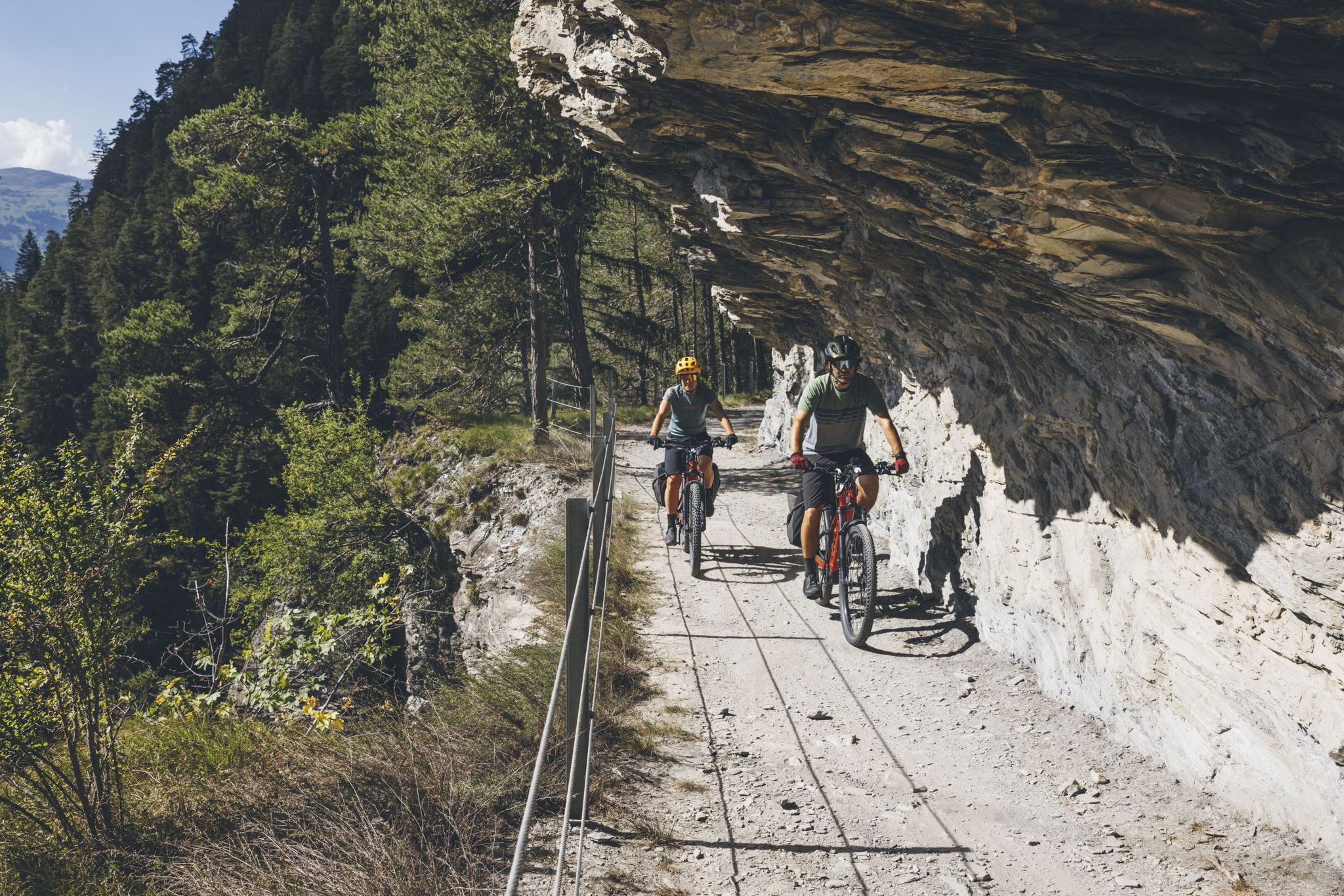
Experience the great adventure of the Glacier Bike Tour
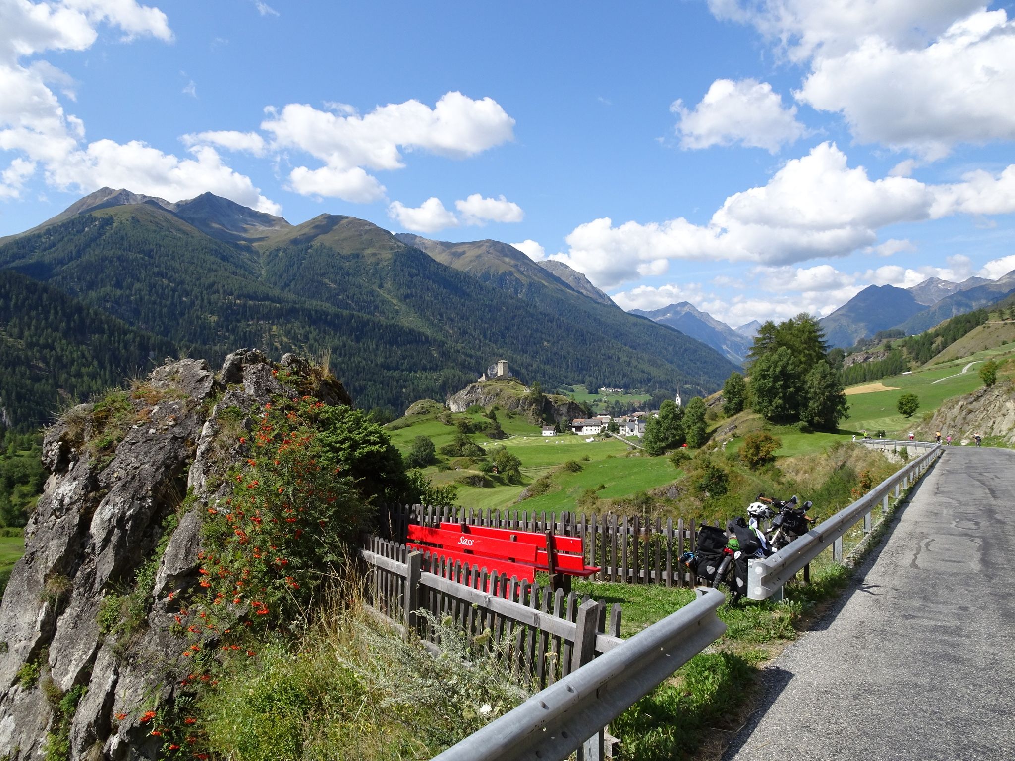
Breathtaking Alps - by bike on the Graubünden Route

Alpine Passes Trail – hiking 700km across Switzerland
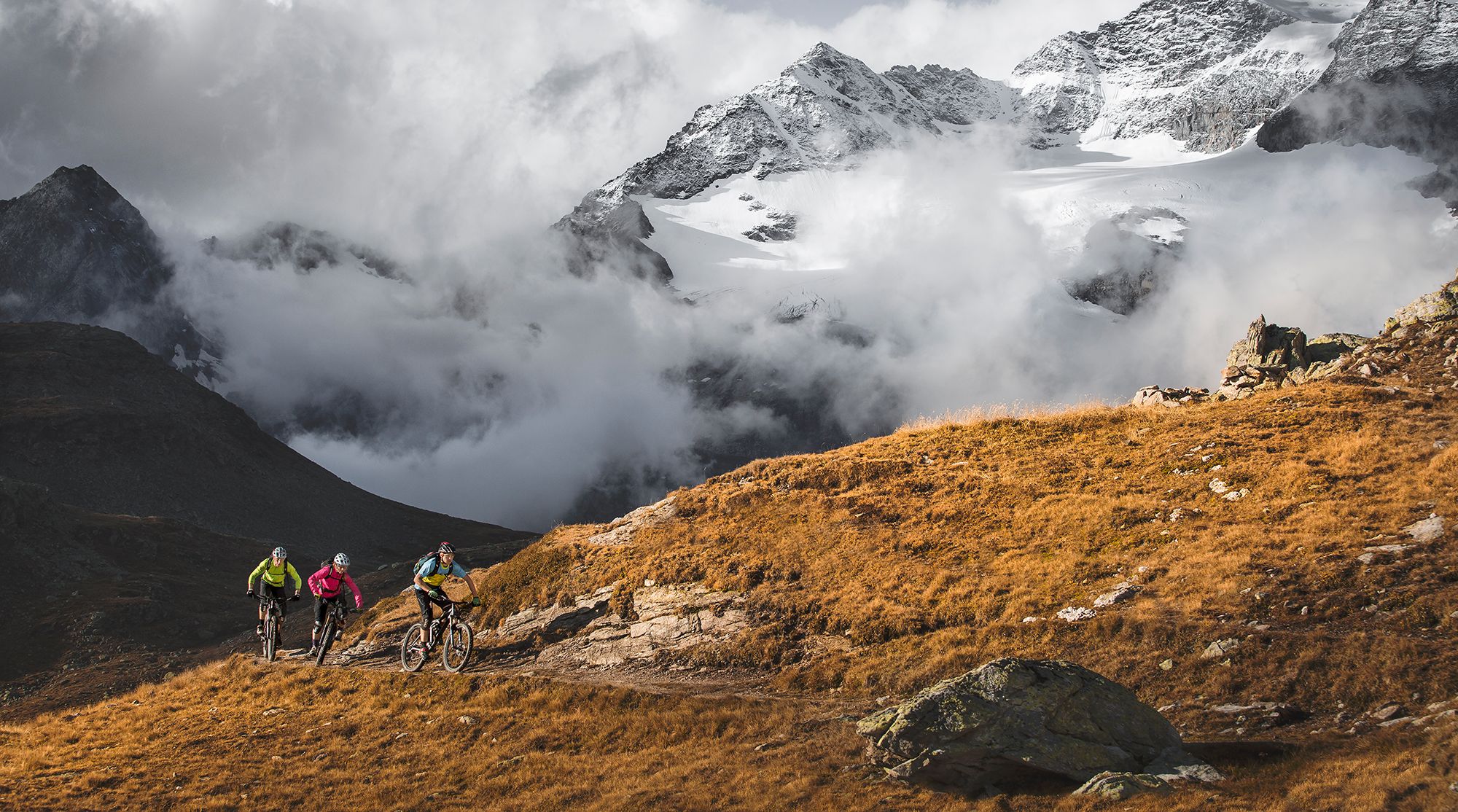
Great heights from Chur to Tirano with your mountain bike & post bus
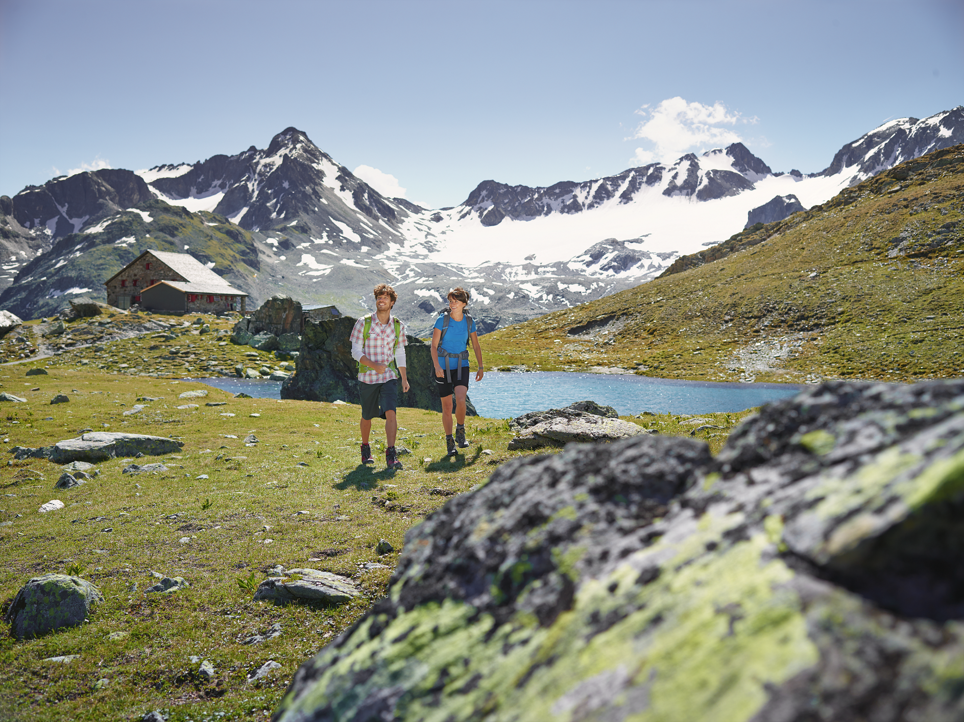
Kesch-Trek – A four-day hut adventure in Davos Klosters
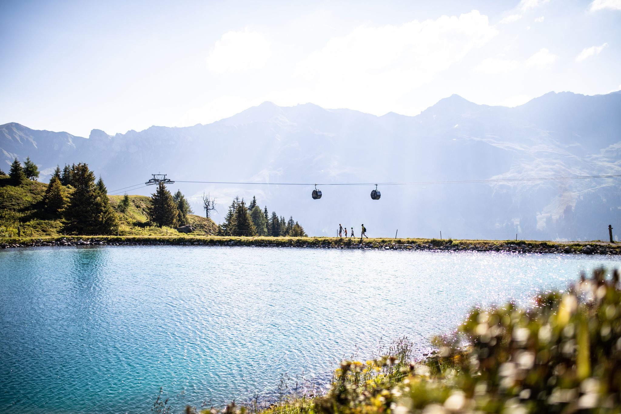
From the peaks to the cool waters – Coolcation Lenzerheide
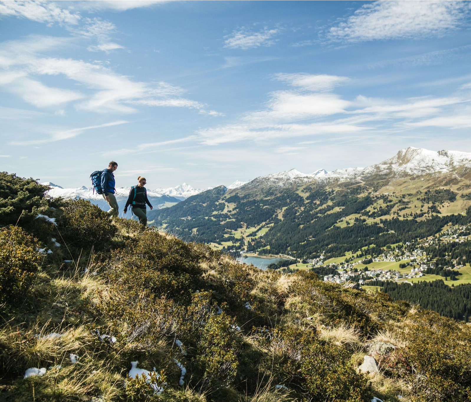
Diverse natural beauty – autumn hiking in Lenzerheide
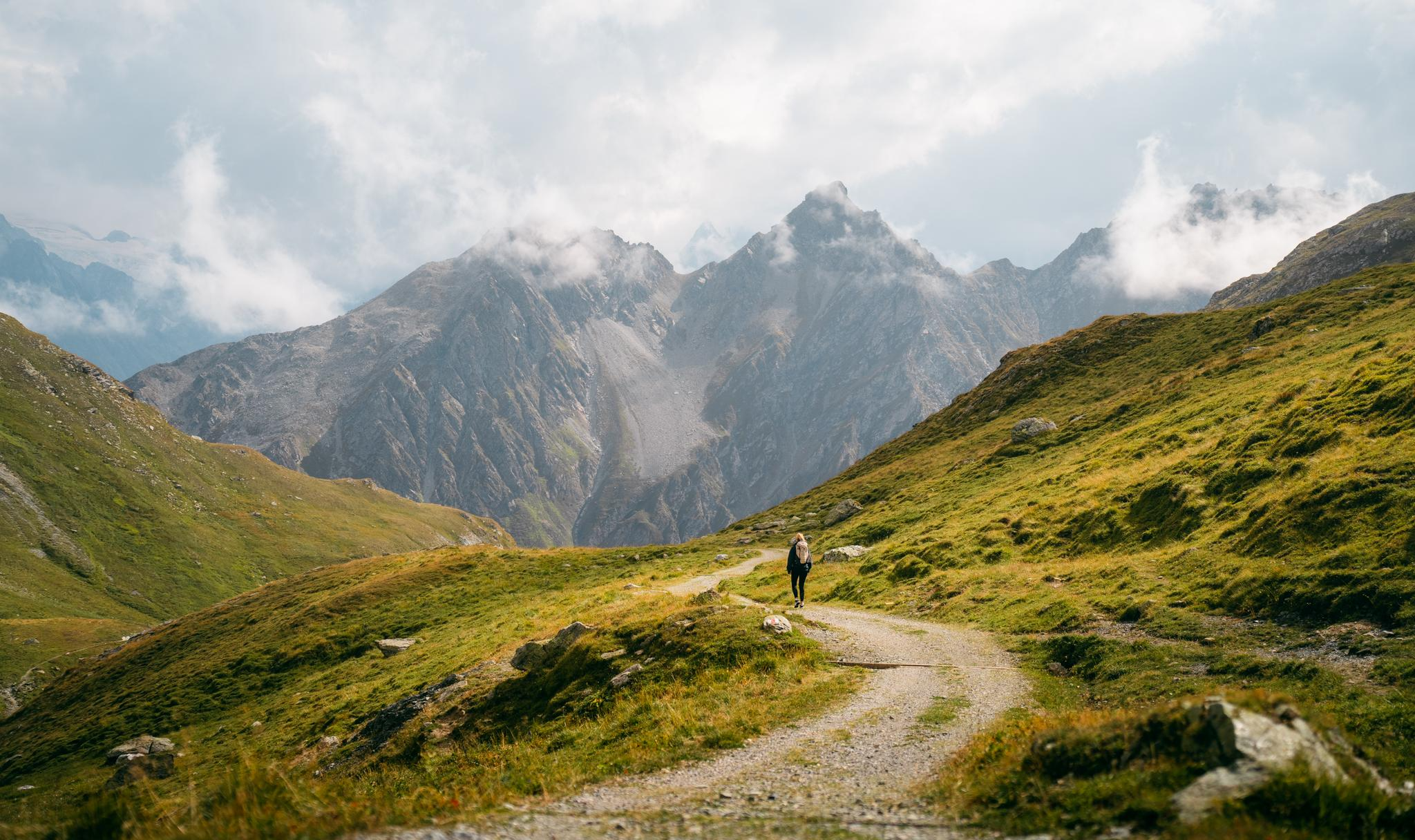
Quiet villages, proud passes, impressive history – the Via Sett
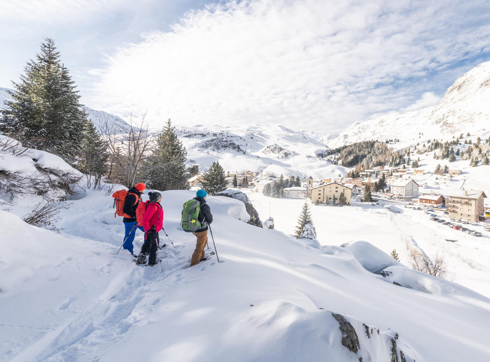
Snowshoe Safari – snowshoe trails through Graubünden
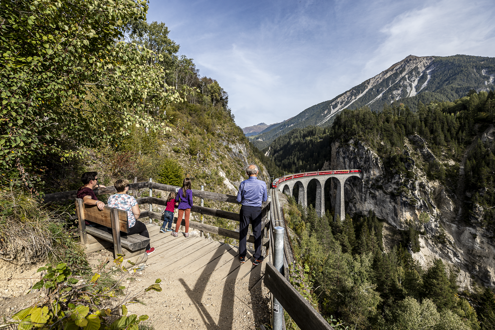
Historic railways and joyous hiking in the Landwasser World
Other adventures around Parc Ela


Tips from the Community

Cozy mountain house where you can get good food
0
0

Beautiful, cool hike almost entirely in the forest.
0
0

A village submerged - Marmorera The flooding (1954): 29 houses, 52 stables and a church sank into the water. A new Marmorera was built slightly higher up on the slope for the relocated inhabitants. On September 14, 1955, the Marmorera Castiletto dam was inaugurated. Among those present were, in addition to the Zurich City President Emil Landolt, local politicians such as Gion Not Spegnas, District President of Oberhalbstein, as well as involved entrepreneurs and officials. While the illustrious guests attended the ceremony in the high-alpine valley basin, the plant further down in Tinizong, one of the three power station stages, was already producing electricity for Zurich. The reservoir looked like a natural mountain lake with a smooth water surface, in which the sunlight glittered. But the apparent mountain idyll hides a secret. On the dark ground lie the ruins of the village of Marmorera – once a flourishing community that benefited from coach traffic over the Julier Pass before the construction of the Albula Tunnel, but whose citizens had been barely making a living from agriculture since the Second World War. Text / Source: Swiss National Museum, Landesmuseum Zürich, Museumstrasse 2, Zurich https://blog.nationalmuseum.ch/2022/09/staudamm-marmorera/
13
0
Lai da Marmorera / Marmorerasee since 1954 Sunken village and lost homeland – The story of Marmorera The story of Marmorera is a story of change and loss. In the 1950s, as Zurich increasingly needed electricity, a reservoir was built on the Ova da Marmorera river. This led to the flooding of the village of Marmorera, which then sank into the reservoir. The inhabitants were resettled, and the old village disappeared into the water of the new Marmorerasee. The Marmorera Castiletto dam was completed in 1954, and the old municipality of Marmorera was replaced by the new Marmorera. Today, only a few houses remain on the shore of the lake, and the story of Marmorera remains a fascinating testament to a turbulent past. Text / Source: wikipedia.org https://de.wikipedia.org/wiki/Lai_da_Marmorera
13
0
Julier Pass, History (Pass height 2284 m above sea level) The column remnants exactly at the summit of the Julier Pass and the finds of Roman coins nearby point to a very early use of this Alpine crossing. The Septimer Pass, a few kilometers to the west, which was however steeper and more avalanche-prone, can certainly be considered a competitor. What is certain is that both were used intensively in Roman times. The Julier even with two-wheeled carts. In the age of packhorse trains, the Julier increasingly lost importance because the topography at the Septimer Pass was hardly a factor and, moreover, the detour via the Engadin was not necessary. With the construction of a cart track over the Septimer (1387), the Julier was definitively left behind. The Julier remained important for access to the Upper Engadin and the Bernina Pass. The actual road construction over the Julier took place between 1820 and 1826. In this phase of history, the Julier retained "the upper hand" over the Septimer. On the one hand, topographical reasons were decisive, and on the other hand, the canton could not afford to ignore the Engadin. This was the first road construction project in which the canton acted as the client. In the second half of the 19th century, various route adjustments followed, which became necessary due to the increasing feeder traffic for the Upper Engadin health resorts. The opening of the Albula Line of the Rhaetian Railway in 1903 caused car traffic over the Julier to collapse again. When the Federal Council put pressure on the Graubünden government in 1923 for a car-suitable transit route, the canton opted for the Julier route. Between 1935 and 1940, the pass road was renovated and was the first Alpine crossing to receive an asphalt surface. Today, the Julier is the most important, year-round open, northern access to the Engadin. Text / Source: Interessengemeinschaft Alpenpässe IAP, Postfach 11, Realp https://www.alpen-paesse.ch/de/alpenpaesse/julierpass/
13
0
Already in the Roman Empire around 2,000 years ago Already in the Roman Empire around 2,000 years ago, the Julier Pass was of great importance. At the pass summit, two columns of a Roman sanctuary still stand today. Today, the pass road over the Julier is the most important road connection to the Engadin and is passable all year round. In the vicinity of the Julier, you will find numerous hiking and biking routes on which the landscape can be ideally explored. From the Julierhospitz (pass summit 2284 m above sea level), the exploration tour or hike to the clear mountain lake Leg Grevasalvas begins. Text / Source: Graubünden Ferien, Alexanderstrasse 24, Chur https://www.graubuenden.ch/de/ausflugsziele/julierpass
13
0
Tor Alva: The White Tower of Mulegns The world's tallest 3D-printed structure has been erected in Mulegns on the Julier Pass. The White Tower (Tor Alva) by Origen is a walkable installation, a cultural building, and a tribute to the sugar bakers of Graubünden. The White Tower of Mulegns is 30 meters high. Its 32 concrete columns were produced using the 3D printing process developed at ETH Zurich. This makes the tower, which opened on May 20, 2025, the tallest building of its kind worldwide. The client is the cultural foundation Nova Fundaziun Origen. On the top floor of the White Tower, small-scale theater and concert events (32 seats) can take place. However, the building is much more than just a new, extraordinary venue for the internationally renowned cultural foundation. The installation can be explored up to the dome. Visitors can reach the four floors via a spiral staircase inside. The higher you ascend, the more delicate the all-white structure appears, and the space becomes noticeably lighter and airier. At night, light shines out into the landscape between the tall columns and wide openings, like a lighthouse on the Julier Pass road. The fine lines and ornaments on the columns are reminiscent of the craft of the former sugar bakers from the region. They sought their fortune abroad; some became wealthy, many others disappeared. With its newest structure, Origen also addresses this ambivalent history of Graubünden emigrants. Even today, mountain villages in Graubünden are threatened by emigration. Through its work, the cultural foundation strengthens the economy in Val Surses and promotes gentle tourism. At the same time, the White Tower is intended to showcase the possibilities of the innovative 3D printing process in building construction. In this manufacturing process, a robot successively applies thin layers of concrete through a nozzle. Thanks to computer technology, the concrete is used precisely only where it is structurally needed. This reduces material consumption. Furthermore, due to its circular design, the tower can be easily dismantled and reassembled elsewhere. Currently, the White Tower is planned as a five-year installation. Text / Source: Graubünden Ferien, Alexanderstrasse 24, Chur https://www.graubuenden.ch/de/news/tor-alva
13
0

Beautiful view up- and downstream. In spring with impressively low water levels, which makes the massive dam visible.
1
0
Frequently Asked Questions
How many touring cycling routes are available in Parc Ela?
Parc Ela offers over 60 touring cycling routes. The majority are challenging, with 50 difficult routes, 12 moderate options, and 2 easier trails, catering to a wide range of cycling abilities.
Are there any easy touring cycling routes suitable for beginners in Parc Ela?
Yes, while most routes are challenging, there are 2 easier touring cycling routes available in Parc Ela. These are ideal for beginners or those looking for a less strenuous ride.
What is the best time of year for touring cycling in Parc Ela?
The best time for touring cycling in Parc Ela is generally from late spring to early autumn (May to October). During these months, mountain passes are typically clear of snow, and the weather is more stable, offering optimal conditions for exploring the alpine landscape.
What kind of terrain can I expect on touring cycling routes in Parc Ela?
Touring cycling in Parc Ela is characterized by a diverse alpine landscape. You can expect significant elevation changes, including high mountain passes like the Julier Pass and Albula Pass, deep valleys, and forested slopes. Routes often feature challenging ascents and descents.
Are there any circular touring cycling routes in Parc Ela?
Yes, many touring cycling routes in Parc Ela are designed as loops. For example, the challenging Bergün/Bravuogn, post office – Gasthaus Spinas, Val Bever loop from Bergün/Bravuogn is a popular circular route, as is the Julier Pass – Tiefencastel loop from Tiefencastel.
What are some scenic viewpoints or natural attractions to see along the touring cycling routes?
Parc Ela offers numerous scenic spots. Along your rides, you might encounter natural monuments such as the dramatic Zügenschlucht gorge, or serene lakes like Lai da Palpuogna and Lais da Flix (Flix Lakes). The high mountain passes themselves, like Julier Pass, also offer breathtaking panoramic views.
What do other touring cyclists say about the routes in Parc Ela?
The touring cycling routes in Parc Ela are highly regarded by the komoot community, with an average rating of 4.9 stars from over 100 reviews. Cyclists frequently praise the diverse alpine scenery, the challenging nature of the routes, and the well-maintained paths.
Are there any challenging touring cycling routes for experienced riders?
Absolutely. Parc Ela is known for its challenging routes. The Pinocchio Express Savognin – View of Tinzen loop from Savognin, for instance, is a difficult 19.7-mile path with varied terrain and significant climbs. Another demanding option is the Albula River Near Surava – Church of St. Peter, Mistail loop from Alvaneu, which features substantial elevation gain.
How long do the touring cycling routes typically take to complete?
The duration varies significantly depending on the route's length and elevation. For example, the Bergün/Bravuogn, post office – Gasthaus Spinas, Val Bever loop from Bergün/Bravuogn typically takes around 4 hours and 55 minutes, while the longer Julier Pass – Tiefencastel loop from Tiefencastel can take about 5 hours and 25 minutes.
Are there opportunities to explore historical or cultural sites while cycling in Parc Ela?
Yes, the region around Parc Ela is rich in history and culture. While cycling, you might pass through charming villages like Preda, or encounter historical structures such as the Church of St. Peter, Mistail. Many routes weave through areas with traditional architecture and cultural significance.
What is the average elevation gain on touring cycling routes in Parc Ela?
Given the alpine nature of Parc Ela, routes typically feature significant elevation gains. For instance, the Albula Gorge – Bergün/Bravuogn, post office loop from Tiefencastel involves over 1000 meters of ascent, and many other difficult routes have similar or greater elevation changes.
Most popular routes around Parc Ela
Most popular attractions around Parc Ela

Get inspired with the komoot mobile app


Explore more
Browse the best Cycling routes in other regions.
