The best road cycling routes around Parc Ela
4.7
(490)
23,661
riders
27
rides
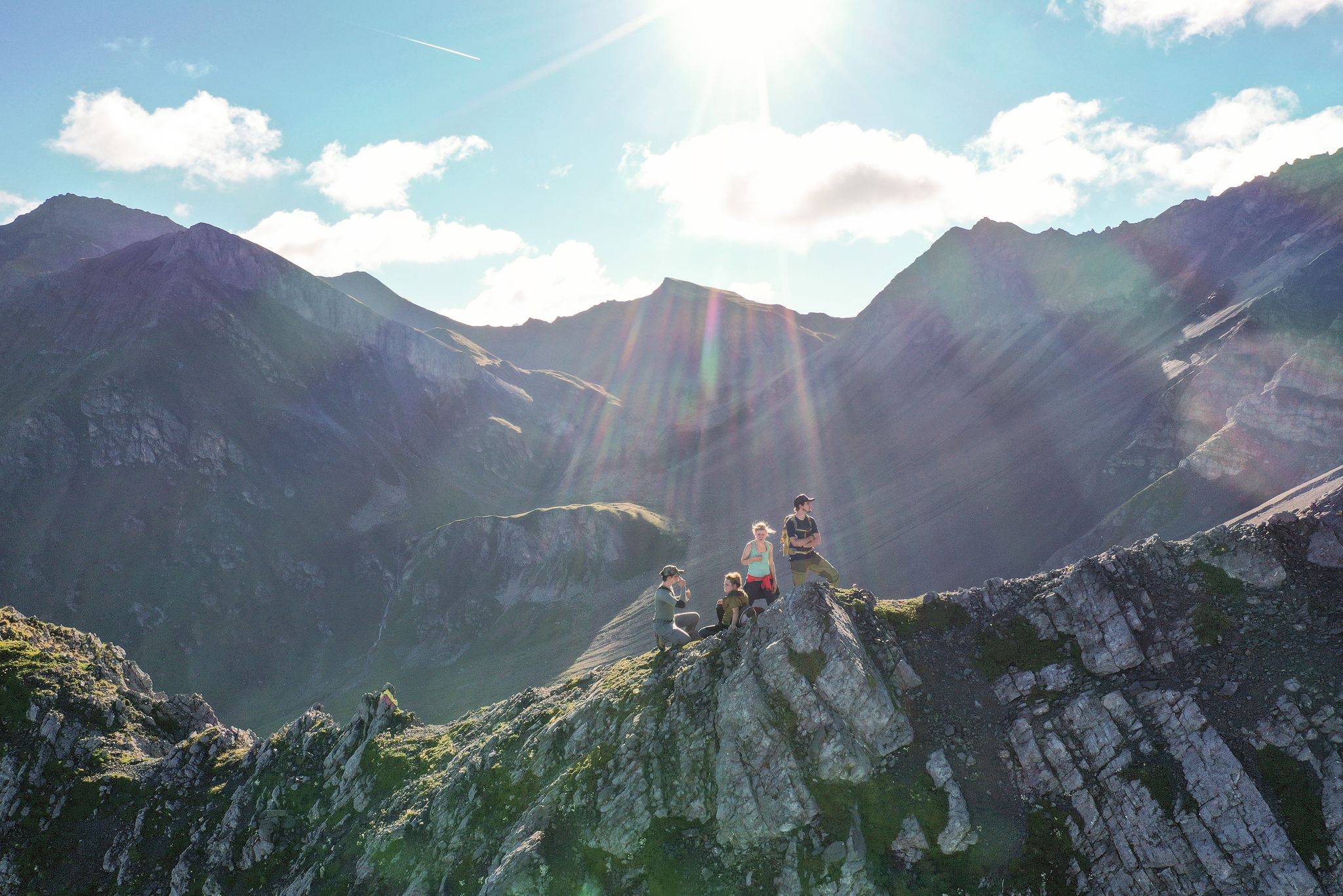
Road cycling routes around Parc Ela traverse Switzerland's largest nature park, characterized by significant elevation changes from 745 meters to over 3,400 meters. The terrain includes rugged gorges, untouched pine forests, and barren alpine landscapes, shaped by historical alpine passes such as Albula, Julier, and Septimer. These routes offer a diverse range of environments for road cyclists, from valley floors to high mountain passes.
Best road cycling routes around Parc Ela
- The most popular road cycling route is Bergün –…
Last updated: September 27, 2026
4.8
(71)
3,584
riders
106km
06:09
2,430m
2,430m
Hard road ride. Very good fitness required. Some segments of this route may be unpaved and difficult to ride.
4.8
(58)
3,521
riders
127km
07:09
2,840m
2,840m
Hard road ride. Very good fitness required. Mostly well-paved surfaces and easy to ride.

4.8
(10)
423
riders
86.8km
05:08
2,150m
2,150m
Hard road ride. Very good fitness required. Mostly well-paved surfaces and easy to ride.
5.0
(1)
251
riders
51.4km
03:15
1,490m
1,490m
Hard road ride. Very good fitness required. Mostly well-paved surfaces and easy to ride.
4.5
(2)
188
riders
191km
11:13
4,600m
4,600m
Hard road ride. Very good fitness required. Some segments of this route may be unpaved and difficult to ride.
Get access to more routes and recommendations from other explorers.
Already have an account?
Our route recommendations are based on thousands of hikes, rides, and runs completed by other people on komoot.
Start today with a free account
Your next adventure awaits.
Popular around Parc Ela
10 epic Alpine challenges

Alpine Passes Trail – hiking 700km across Switzerland
Great heights from Chur to Tirano with your mountain bike & post bus
Kesch-Trek – A four-day hut adventure in Davos Klosters
From the peaks to the cool waters – Coolcation Lenzerheide
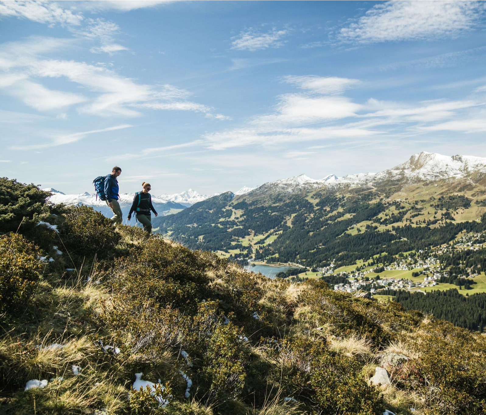
Diverse natural beauty – autumn hiking in Lenzerheide
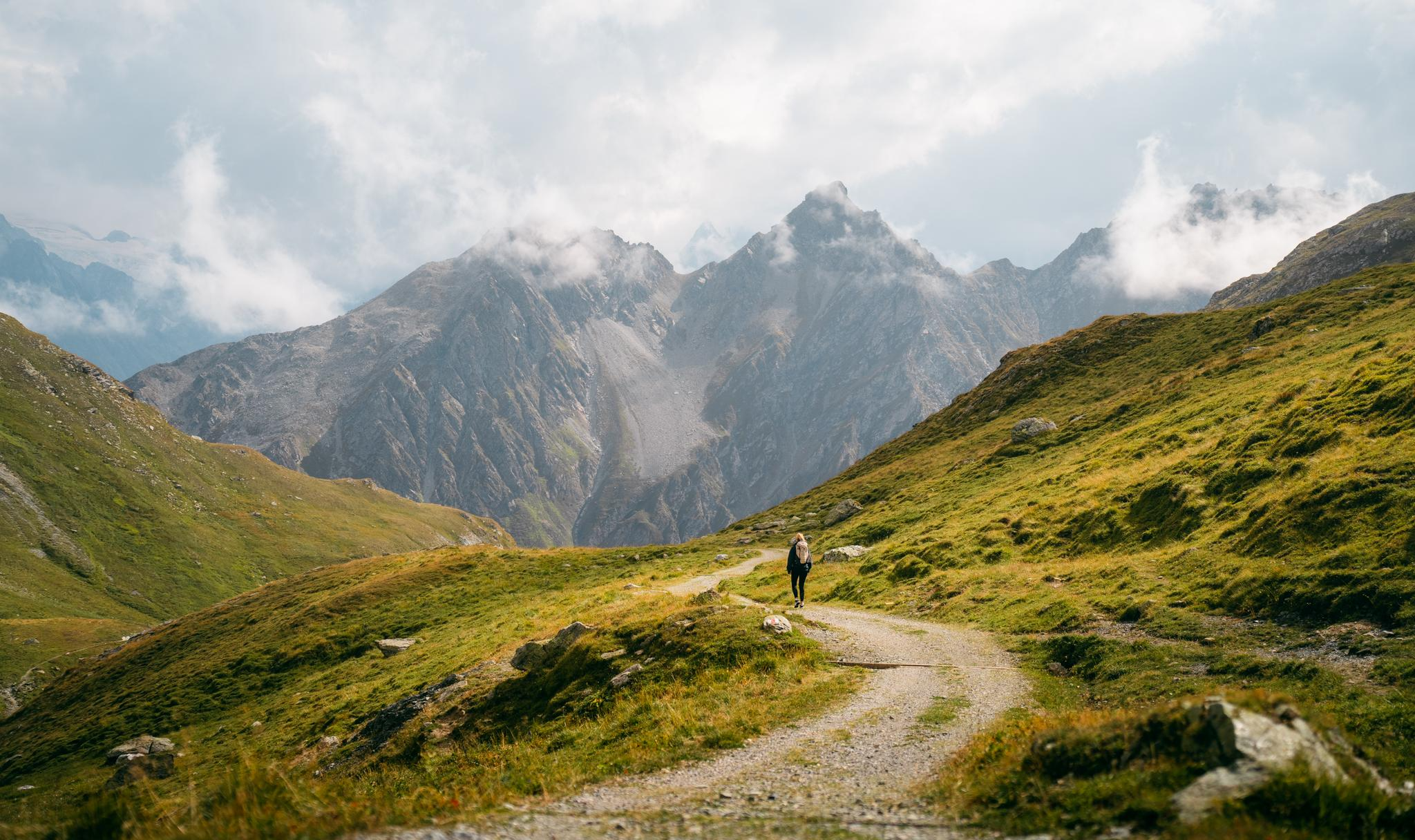
Quiet villages, proud passes, impressive history – the Via Sett
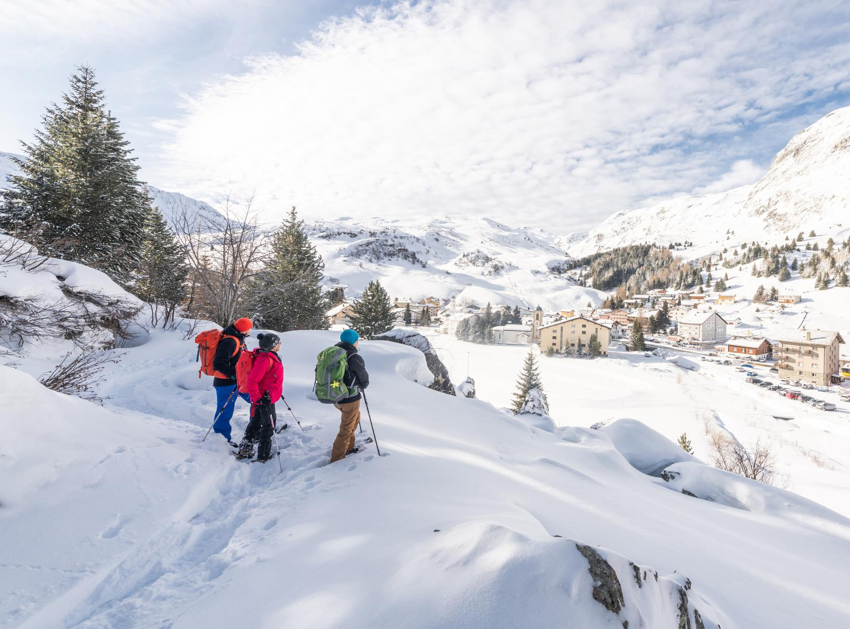
Snowshoe Safari – snowshoe trails through Graubünden
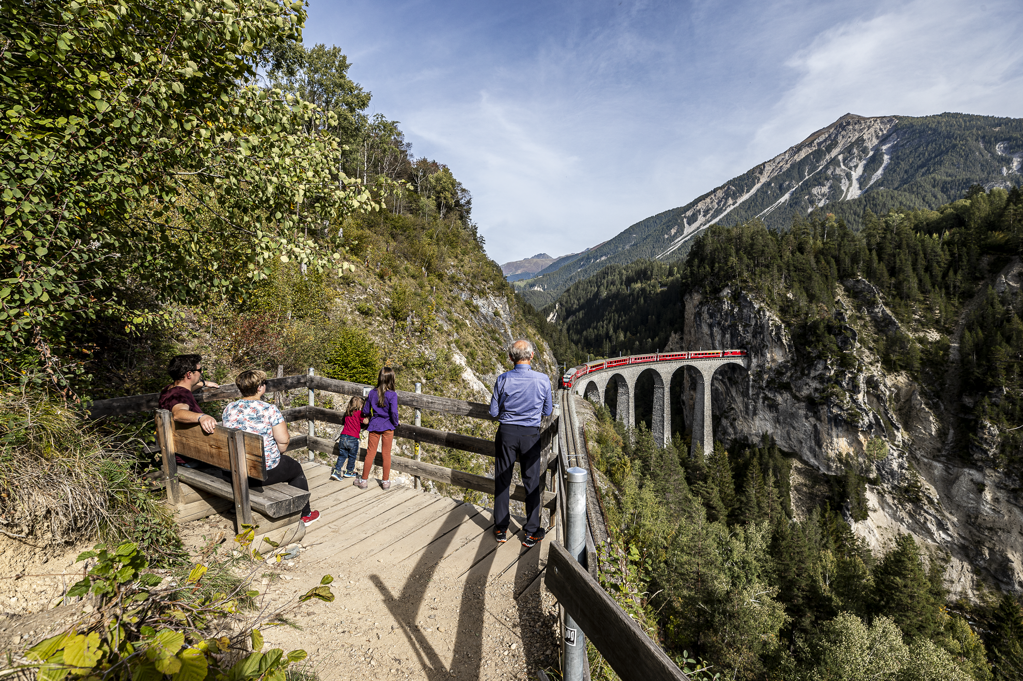
Historic railways and joyous hiking in the Landwasser World
Satisfy your wanderlust in the Lenzerheide region
Other adventures around Parc Ela


Tips from the Community

Very interesting costs something but is worth the price
0
0

In June 2023, the rock masses narrowly missed the mountain village of Brienz. The village has been evacuated several times in recent years, and things seem quiet at the moment, but who knows for how long?
0
0

Julier Pass, History (Pass height 2284 m above sea level) The column remnants exactly at the summit of the Julier Pass and the finds of Roman coins nearby point to a very early use of this Alpine crossing. The Septimer Pass, a few kilometers to the west, which was however steeper and more avalanche-prone, can certainly be considered a competitor. What is certain is that both were used intensively in Roman times. The Julier even with two-wheeled carts. In the age of packhorse trains, the Julier increasingly lost importance because the topography at the Septimer Pass was hardly a factor and, moreover, the detour via the Engadin was not necessary. With the construction of a cart track over the Septimer (1387), the Julier was definitively left behind. The Julier remained important for access to the Upper Engadin and the Bernina Pass. The actual road construction over the Julier took place between 1820 and 1826. In this phase of history, the Julier retained "the upper hand" over the Septimer. On the one hand, topographical reasons were decisive, and on the other hand, the canton could not afford to ignore the Engadin. This was the first road construction project in which the canton acted as the client. In the second half of the 19th century, various route adjustments followed, which became necessary due to the increasing feeder traffic for the Upper Engadin health resorts. The opening of the Albula Line of the Rhaetian Railway in 1903 caused car traffic over the Julier to collapse again. When the Federal Council put pressure on the Graubünden government in 1923 for a car-suitable transit route, the canton opted for the Julier route. Between 1935 and 1940, the pass road was renovated and was the first Alpine crossing to receive an asphalt surface. Today, the Julier is the most important, year-round open, northern access to the Engadin. Text / Source: Interessengemeinschaft Alpenpässe IAP, Postfach 11, Realp https://www.alpen-paesse.ch/de/alpenpaesse/julierpass/
13
0
Already in the Roman Empire around 2,000 years ago Already in the Roman Empire around 2,000 years ago, the Julier Pass was of great importance. At the pass summit, two columns of a Roman sanctuary still stand today. Today, the pass road over the Julier is the most important road connection to the Engadin and is passable all year round. In the vicinity of the Julier, you will find numerous hiking and biking routes on which the landscape can be ideally explored. From the Julierhospitz (pass summit 2284 m above sea level), the exploration tour or hike to the clear mountain lake Leg Grevasalvas begins. Text / Source: Graubünden Ferien, Alexanderstrasse 24, Chur https://www.graubuenden.ch/de/ausflugsziele/julierpass
13
0

Sül Munt Baselgia e fin Lais da Macun
0
0

Great view of the entire Marmorera reservoir from the beginning of the lake towards the north to the dam. In spring with little water. Attention: only accessible by bike and only with little traffic, as it is directly on the pass road.
0
0

A short stop in La Punt is worthwhile. This is mainly due to the striking white house – the Chesa Merleda. This is a prominent example of Engadine architecture.
1
0

Beautiful section. Best driven on a car-free day.
1
0
Frequently Asked Questions
How many road cycling routes are available in Parc Ela?
Parc Ela offers a wide selection of road cycling routes, with over 30 distinct tours available. These routes cater to various preferences, ranging from easier rides to challenging alpine ascents.
What kind of terrain can I expect on road cycling routes in Parc Ela?
The terrain in Parc Ela is incredibly diverse, spanning from the Schin Gorge at 745 meters to high alpine passes. You'll encounter rugged gorges, untouched pine forests, and barren alpine landscapes. The region is particularly known for its historic alpine passes like Albula, Julier, and Septimer, which offer significant elevation changes and panoramic views.
Are there road cycling routes suitable for different skill levels?
Yes, Parc Ela provides options for various abilities. While the majority of routes are classified as difficult (17 tours) or moderate (12 tours) due to the mountainous terrain, there are also 2 easier routes available for those seeking a less strenuous ride.
What natural features or landmarks can I see while road cycling in Parc Ela?
Road cycling routes in Parc Ela often pass by stunning natural features and historic landmarks. You might encounter the dramatic Zügenschlucht gorge, the serene Lai da Palpuogna lake, or the iconic Julier Pass. The region's diverse landscape includes hedgerow country, dry grasslands, and high mountain environments.
Are there any historic villages or cultural sites accessible by road bike?
Absolutely. The region is rich in cultural heritage. You can cycle through charming villages like Bergün, known for its intact historic center, or Filisur, with its traditional Engadine houses. The area is also dotted with ancient churches, some dating back to the 9th or 10th centuries, and remnants of Roman cart tracks, reflecting its history as a vital trade route.
What do other road cyclists enjoy the most about road cycling in Parc Ela?
The road cycling experience in Parc Ela is highly rated by the komoot community, with an average score of 4.8 stars from over 100 reviews. Cyclists frequently praise the diverse alpine landscapes, the challenge of the historic passes, and the well-maintained routes that offer a genuine sense of untamed nature.
Are there any circular road cycling routes in Parc Ela?
Yes, many routes in Parc Ela are designed as loops, allowing you to start and finish in the same location. For example, the challenging Bergün – Julier Pass loop from Tiefencastel and the scenic Bergünerstein Gorge – Bergün loop from Tiefencastel are popular circular options.
What are some notable road cycling routes that explore the historic passes?
The region is defined by its historic passes. You can tackle routes like the Julier Pass from Tiefencastel – Julier Pass loop from Tiefencastel, which leads through high alpine terrain. The Albula, Julier, and Septimer passes are central to many challenging and scenic road cycling experiences in Parc Ela.
Is parking available for road cyclists in Parc Ela?
Parking is generally available in the larger villages and starting points for routes within Parc Ela, such as Tiefencastel or Bergün. It's advisable to check specific parking options for your chosen starting location before your ride.
Can I use public transport with my bicycle in Parc Ela?
Parc Ela is well-served by public transport, including the Rhaetian Railway, a UNESCO World Heritage site. While specific rules for bicycle transport vary, many services accommodate bikes, especially outside of peak hours. It's recommended to check the current policies and schedules of local public transport providers for carrying bicycles.
What is the best time of year for road cycling in Parc Ela?
The best time for road cycling in Parc Ela is typically from late spring to early autumn (May to October). During these months, the alpine passes are generally clear of snow, and the weather conditions are more favorable for cycling, allowing access to the full range of routes and landscapes.
Are there any specific challenges for road cyclists in Parc Ela?
Road cycling in Parc Ela often involves significant elevation gains and descents, particularly when traversing the major alpine passes. Cyclists should be prepared for long climbs, potentially variable weather conditions at higher altitudes, and winding roads. The rewards, however, are breathtaking views and a profound sense of accomplishment.
Most popular routes around Parc Ela
Most popular attractions around Parc Ela

Get inspired with the komoot mobile app


Explore more
Browse the best Road cycling routes in other regions.
