The best running trails in Steigerwald
4.5
(4446)
60,221
runners
4,422
runs
Jogging in Steigerwald offers a diverse landscape for runners, characterized by river valleys, extensive woodlands, and gentle hills. The region features a mix of natural park areas and urban green spaces, particularly around Bamberg. Running routes often follow waterways like the River Regnitz, providing flat and accessible paths. This varied terrain ensures options for different fitness levels, from leisurely park runs to more challenging trails with moderate elevation changes.
Best jogging routes in Steigerwald
- The most popular jogging route is…
Last updated: July 31, 2026
4.0
(1)
11
runners
9.15km
01:03
150m
150m
Moderate run. Good fitness required. Mostly paved surfaces. Suitable for all skill levels.
4.6
(20)
1,027
runners
17.7km
01:56
220m
220m
Hard run. Very good fitness required. Mostly paved surfaces. Suitable for all skill levels.

Sign up for free
4.8
(26)
889
runners
14.8km
01:34
60m
60m
Moderate run. Good fitness required. Mostly paved surfaces. Suitable for all skill levels.
4.9
(32)
738
runners
Moderate run. Good fitness required. Mostly paved surfaces. Suitable for all skill levels.
4.6
(75)
701
runners
6.17km
00:39
20m
20m
Moderate run. Good fitness required. Mostly paved surfaces. Suitable for all skill levels.
4.8
(22)
519
runners
7.97km
00:50
20m
20m
Moderate run. Good fitness required. Mostly paved surfaces. Suitable for all skill levels.
4.6
(17)
426
runners
14.0km
01:28
30m
30m
Moderate run. Good fitness required. Mostly paved surfaces. Suitable for all skill levels.
4.7
(10)
405
runners
6.59km
00:42
30m
40m
Moderate run. Good fitness required. Mostly paved surfaces. Suitable for all skill levels.
4.8
(22)
349
runners
6.71km
00:42
20m
20m
Moderate run. Good fitness required. Mostly paved surfaces. Suitable for all skill levels.
4.9
(11)
339
runners
6.01km
00:37
30m
30m
Moderate run. Good fitness required. Mostly paved surfaces. Suitable for all skill levels.
Get access to more routes and recommendations from other explorers.
Sign up for free
Already have an account?
Our route recommendations are based on thousands of hikes, rides, and runs completed by other people on komoot.
Start today with a free account
Your next adventure awaits.
Login or Signup
Popular around Steigerwald

Steigerwald panorama trail — 9 days
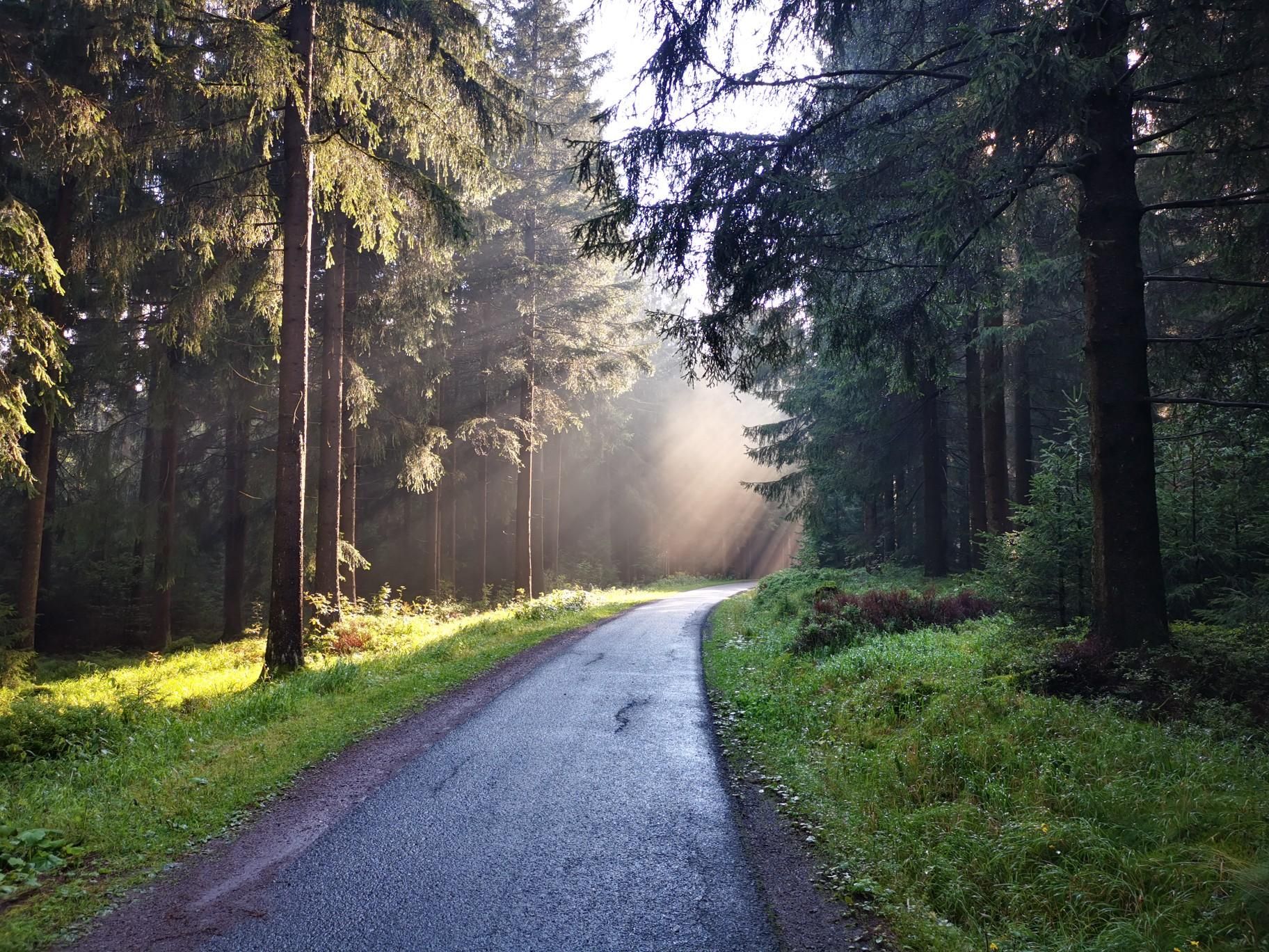
Nuremberg to Erfurt – Discover the German countryside by bike

The National Natural Landscapes in Bavaria
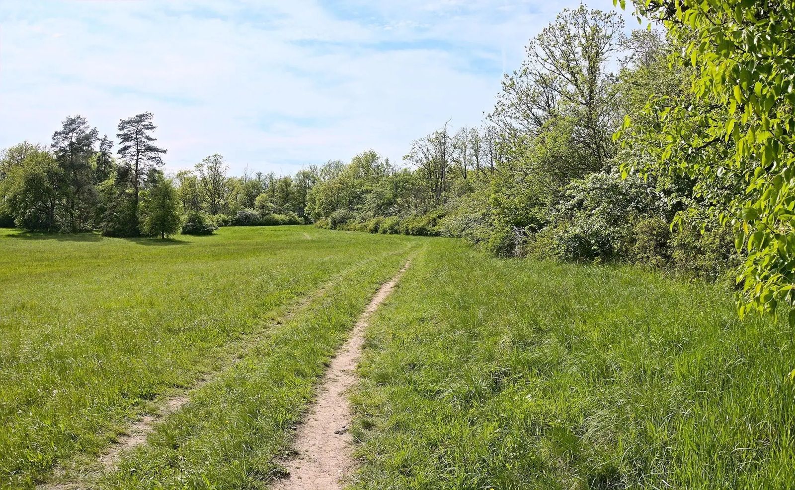
Gravel meets rail – gravel rides in the greater Nuremberg area
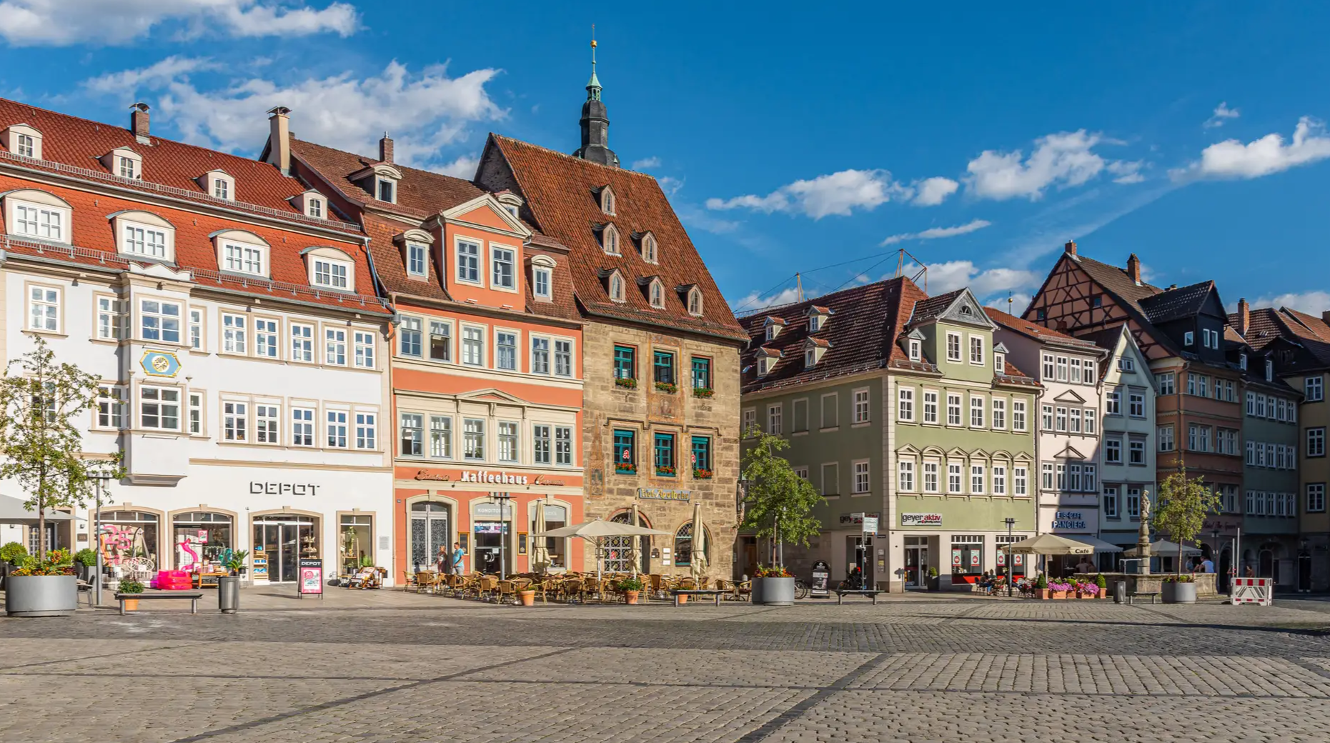
From the metropolis to enjoyment – city hiking on the VGN

Nature, the outdoors and adventure – hiking through the VGN's nature parks
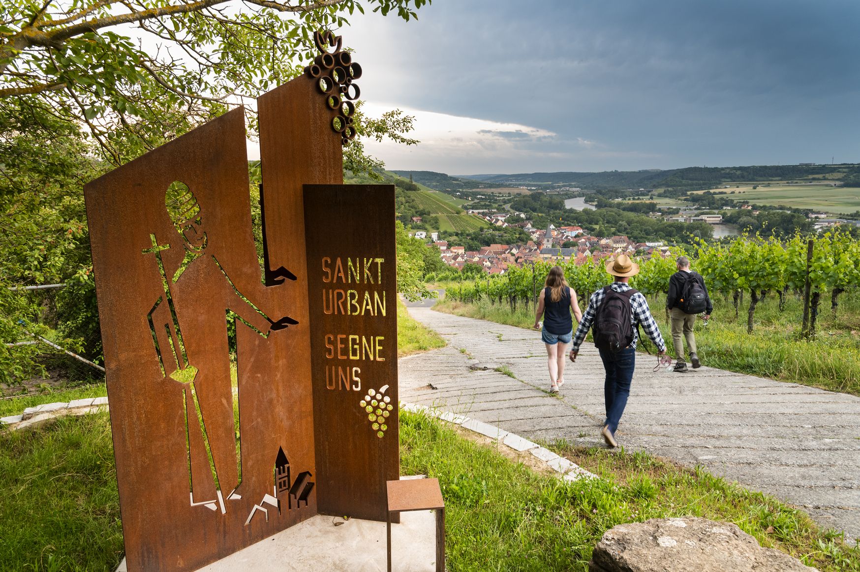
Hiking and culinary delights – walks in the Franconia wine region

Hiking through Bavaria's cultural landscapes

#GoFurther – discover the views of Germany!
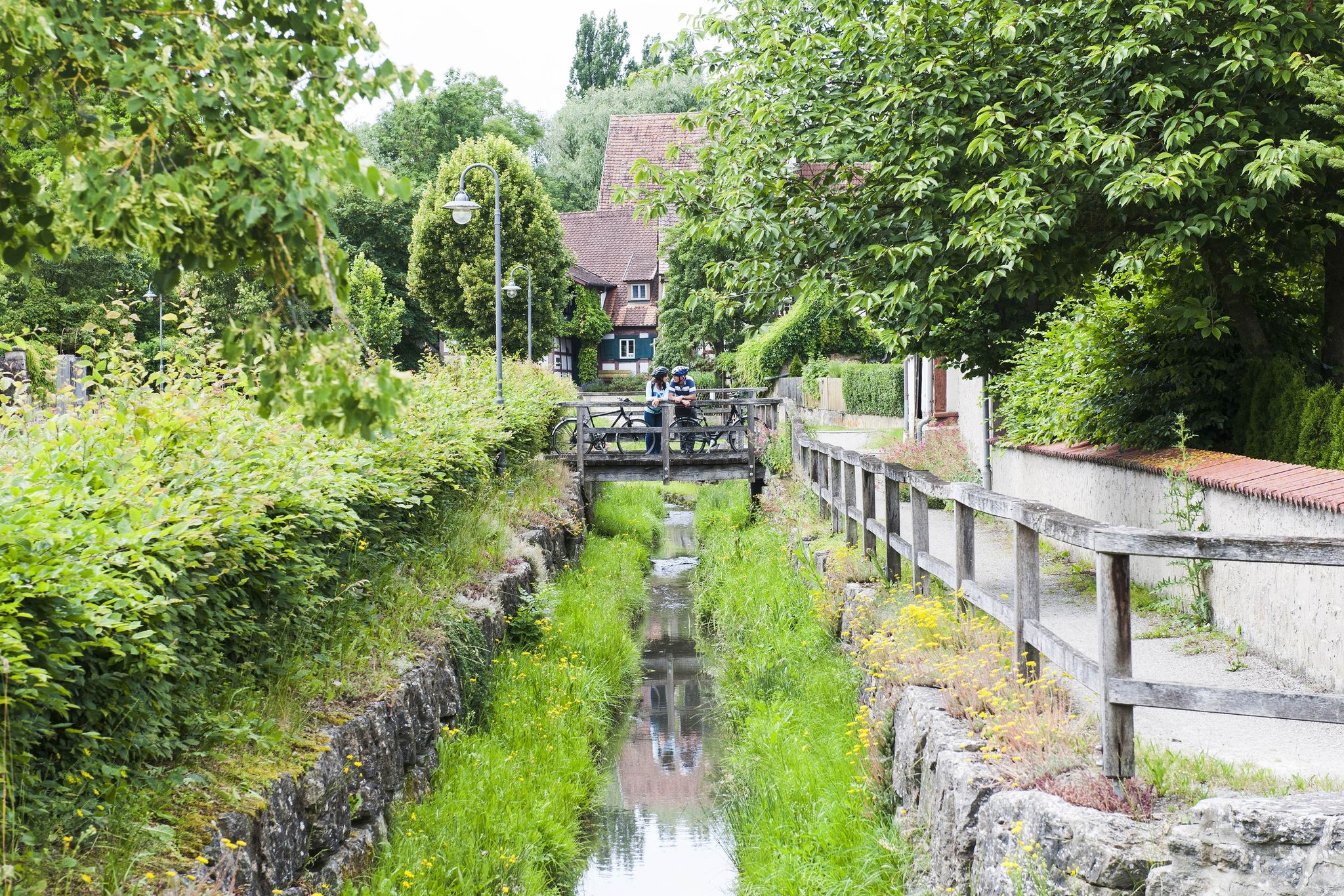
Fun, nature and culture – discover Franconia by bike
Other adventures in Steigerwald


Tips from the Community


In 1519, the property was already built with two houses and was rebuilt after 1596 by the later owner, Heinrich von Bibra, for his wife Veronika. Around 1709, the court councillor and imperial circle director Johann Ignaz Tobias Böttinger had the present estate built, incorporating parts of the medieval and 16th-century structures. The furnishing work probably continued until 1713. In the 19th century, the house changed owners several times; in 1851 it belonged to Ignaz Prell, and in 1878, Anton Schneider's boys' educational institution was housed there. The owner between 1898 and 1900, Johann Martin Sauermann, severely damaged the estate by selling off parts of the interior and exterior fittings and began demolishing the house. Since the first owner after Sauermann, the estate has been successively restored, and in 1955, the retrofitting, conservation measures, and removals required by the State Office for Monument Preservation were initiated. After further changes of ownership, the estate, which has housed an art gallery since 1992, is privately owned.
3
0
The group of buildings extending over the above-mentioned house numbers is the former General Hospital, which was built at the request of Prince-Bishop Franz Ludwig von Erthal in the former "Stadion Garden", then the largest baroque garden in the city area, named after its owner, the Cathedral Dean Franz Konrad von Stadion. Franz Ludwig von Erthal acquired the property around 1786 with the two garden buildings that Stadion had built here around 1730 and which today form the side wings of the hotel complex. They were expanded between 1787-89 with the broadly laid-out main wing according to plans by Johann Philipp Geigel and Johann Lorenz Fink (Photo 1). The Surgical Pavilion, which today houses the Bamberg City Archive (Photo 2), was built between 1899-1901 under the direction of Hans Jakob Erlwein. The listed Court Laundry (Photo 3), the Court Construction Shed and the associated administrator's house are now municipal service buildings. In 1984, the hospital moved to a new building on Bruderwald, and the buildings were successively repurposed.
7
0

Beautiful to look at, especially when a ship is being locked through.
0
0

The view upstream is particularly charming in the early morning. This spot is an excellent starting point for explorations. Wonderful hikes are possible from here. A walk through the grove is highly recommended. A trip to Altenburg Castle is also easily possible from here.
8
0
The bridge is known for its impressive panorama. From this vantage point, one of the most beautiful views upstream of the former fishing village unfolds, with its medieval half-timbered houses and boat moorings situated directly on the water. In the distance, the striking Old Town Hall, built in the middle of the river, can be seen.
7
0

Before it became the city archives, the building was used as a surgical pavilion.
1
0

The Bamberg City Archives is the memory of the city administration and the citizens of Bamberg.
1
0
Frequently Asked Questions
How many running routes are available in Steigerwald?
Steigerwald offers a wide variety of running experiences, with over 4300 routes available on komoot. This includes options for all fitness levels, from easy paths to more challenging trails.
Are there easy running routes suitable for beginners in Steigerwald?
Yes, Steigerwald has numerous easy running routes perfect for beginners or those looking for a relaxed jog. There are over 570 easy routes, often following river valleys like the Regnitz, providing flat and accessible paths. While the routes listed in the guide are moderate to difficult, komoot offers many simpler options.
What kind of scenery can I expect on the running trails in Steigerwald?
The running trails in Steigerwald offer diverse scenery, characterized by extensive woodlands, gentle hills, and picturesque river valleys. Many routes, especially around Bamberg, feature a mix of natural park areas and urban green spaces. You can also find routes with views of historical sites and charming townscapes, such as the Walkmühle – View of Little Venice in Bamberg loop from Bamberg.
Are there any circular running routes in Steigerwald?
Yes, many running routes in Steigerwald are designed as loops, offering convenient starting and ending points. Examples include the challenging Walkmühle – Buger Spitze loop from Bamberg or the moderate Buger Spitze – Walkmühle loop from Bamberg, both popular among local runners.
What are the typical durations for running routes in Steigerwald?
Running route durations in Steigerwald vary significantly depending on the distance and difficulty. For instance, the Bubenreuth flood path - Franconian Switzerland Nature Park takes about 1 hour, while longer routes like the Walkmühle – Buger Spitze loop from Bamberg can take over 1 hour 50 minutes.
Are there family-friendly running paths in the Steigerwald region?
Yes, Steigerwald offers many paths suitable for families, particularly the easier, flatter routes along riverbanks or through urban parks. These routes provide a safe and enjoyable environment for all ages. While specific family-friendly routes are not highlighted here, you can filter for easy routes on komoot to find suitable options.
What can I see along the running routes in Steigerwald?
Many running routes in Steigerwald pass by interesting sights. For example, you might encounter historical structures like Hoheneck Castle or natural landmarks such as Tränksee. The region also features unique man-made monuments like the Druidentempel (Monopteros) in Hainpark Bamberg.
What do other runners enjoy most about jogging in Steigerwald?
The komoot community highly rates jogging in Steigerwald, with an average score of 4.5 stars from over 3900 reviews. Runners often praise the diverse landscape, the mix of natural and urban scenery, and the well-maintained paths along riverbanks and through woodlands. The variety of routes catering to different fitness levels is also a frequently mentioned positive aspect.
Are there less crowded running routes in Steigerwald?
While popular routes around Bamberg can see more traffic, Steigerwald's extensive network of trails means you can often find quieter paths, especially deeper within the forest areas or during off-peak hours. Exploring some of the less-trafficked forest trails can offer a more serene running experience.
What are the trail conditions like for running in Steigerwald?
Trail conditions in Steigerwald are generally good, ranging from paved paths along rivers to natural forest trails. The region's varied terrain includes flat sections, gentle hills, and some moderate elevation changes. During wet seasons, some unpaved forest paths might be muddy, so appropriate footwear is recommended.
Can I find running routes that offer scenic viewpoints in Steigerwald?
Absolutely. Steigerwald's gentle hills and elevated sections provide opportunities for scenic viewpoints. Routes that venture into the higher parts of the forest or along certain river bends can offer expansive views of the surrounding landscape. For example, routes around Bamberg often provide picturesque views of the city and its waterways.
Are there any running routes near the Bamberg Lock?
Yes, there are several running routes that incorporate or pass by the Bamberg Lock. A good option is the Bamberg Lock – Kettenbrücke Bamberg loop from Bamberg, a moderate 6.2-kilometer route that offers pleasant riverside running.
Most popular routes in Steigerwald
Most popular attractions in Steigerwald

Get inspired with the komoot mobile app


Explore more
Browse the best Running Trails & Routes in other regions.
