The best gravel rides in Steigerwald
4.5
(401)
1,999
riders
427
rides
Gravel biking in Steigerwald offers diverse terrain within a protected nature park in Franconia, Germany. The region features extensive ancient forests of oak and beech, alongside sunny vineyards in its western parts. Rolling hills and gentle ridges characterize the landscape, providing varied routes for cyclists. Wetlands and numerous small ponds also contribute to the natural environment, creating a rich tapestry for gravel biking.
Best gravel bike trails in Steigerwald
- The most popular gravel bike trail is Franconian Castles and Breweries…
Last updated: July 7, 2026
4.6
(8)
44
riders
71.5km
05:55
1,070m
1,070m
This challenging 44.4-mile gravel tour from Forchheim through Franconian Switzerland offers diverse terrain and scenic views.
1
riders
Hard gravel ride. Very good fitness required. Mostly paved surfaces. Suitable for all skill levels.

Sign up for free
4.7
(14)
54
riders
50.6km
03:15
530m
530m
Hard gravel ride. Very good fitness required. Mostly paved surfaces. Suitable for all skill levels.
4.3
(8)
43
riders
Moderate gravel ride. Good fitness required. Mostly paved surfaces. Suitable for all skill levels.
4.3
(4)
26
riders
46.4km
03:01
580m
580m
Hard gravel ride. Very good fitness required. Mostly paved surfaces. Suitable for all skill levels.
4.4
(9)
41
riders
22.7km
01:29
220m
230m
Moderate gravel ride. Good fitness required. Mostly paved surfaces. Suitable for all skill levels.
4.9
(8)
54
riders
55.6km
02:50
290m
290m
Moderate gravel ride. Good fitness required. Mostly paved surfaces. Suitable for all skill levels.
4.3
(4)
16
riders
26.0km
01:46
410m
410m
Moderate gravel ride. Good fitness required. Mostly paved surfaces. Suitable for all skill levels.
4.2
(11)
27
riders
31.0km
01:34
150m
150m
Easy gravel ride. Great for any fitness level. Mostly paved surfaces. Suitable for all skill levels.
4.9
(9)
30
riders
41.2km
02:27
450m
450m
Moderate gravel ride. Good fitness required. Mostly paved surfaces. Suitable for all skill levels.
Get access to more routes and recommendations from other explorers.
Sign up for free
Already have an account?
Our route recommendations are based on thousands of hikes, rides, and runs completed by other people on komoot.
Start today with a free account
Your next adventure awaits.
Login or Signup
Popular around Steigerwald

Steigerwald panorama trail — 9 days
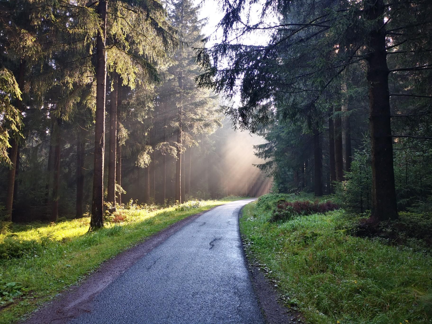
Nuremberg to Erfurt – Discover the German countryside by bike

The National Natural Landscapes in Bavaria
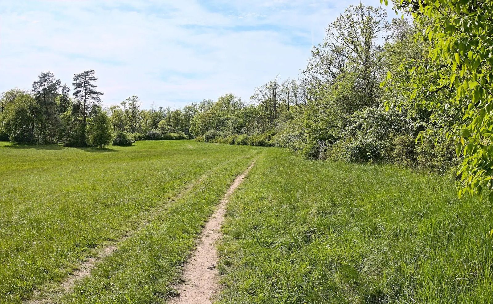
Gravel meets rail – gravel rides in the greater Nuremberg area
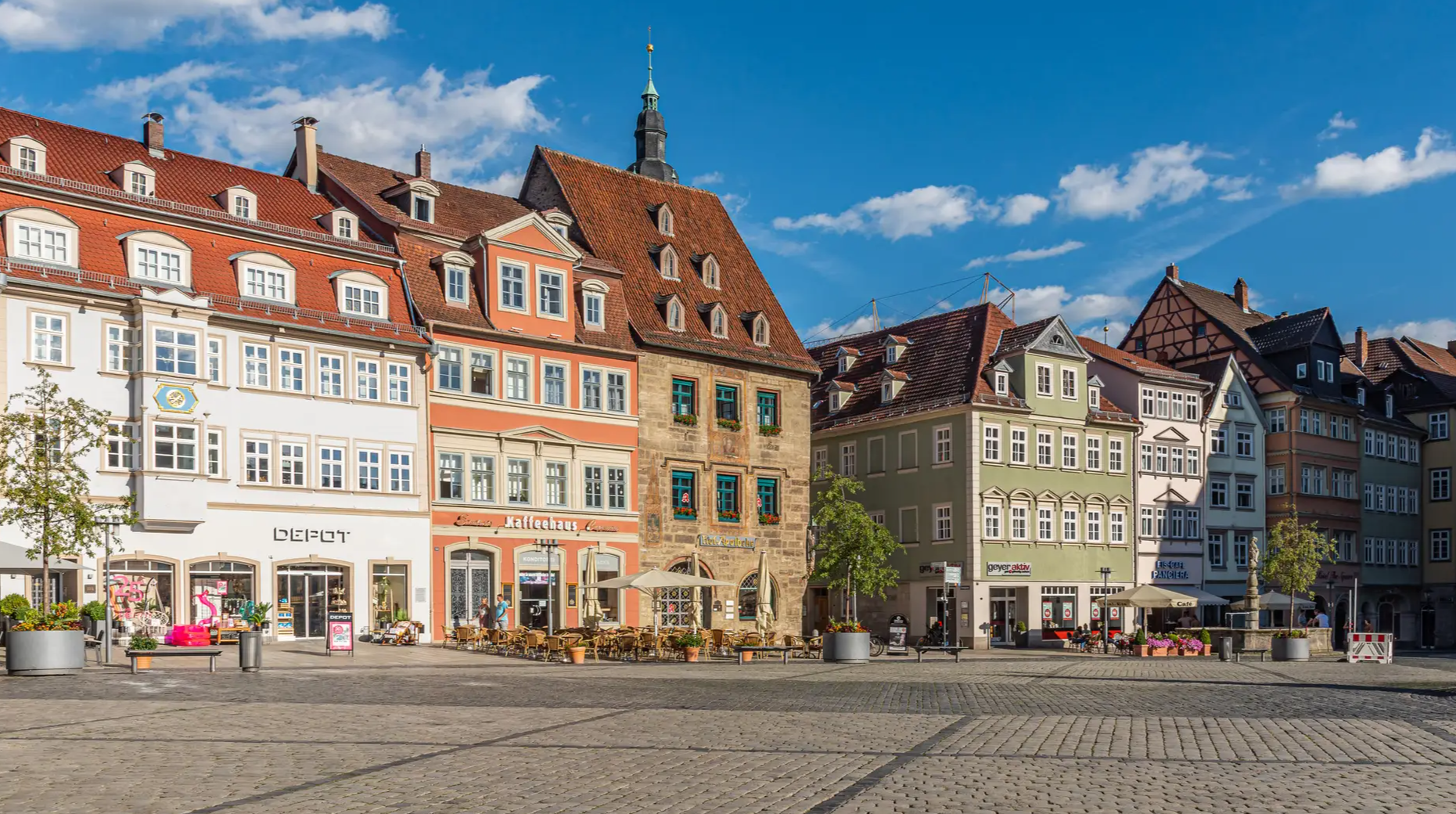
From the metropolis to enjoyment – city hiking on the VGN

Nature, the outdoors and adventure – hiking through the VGN's nature parks
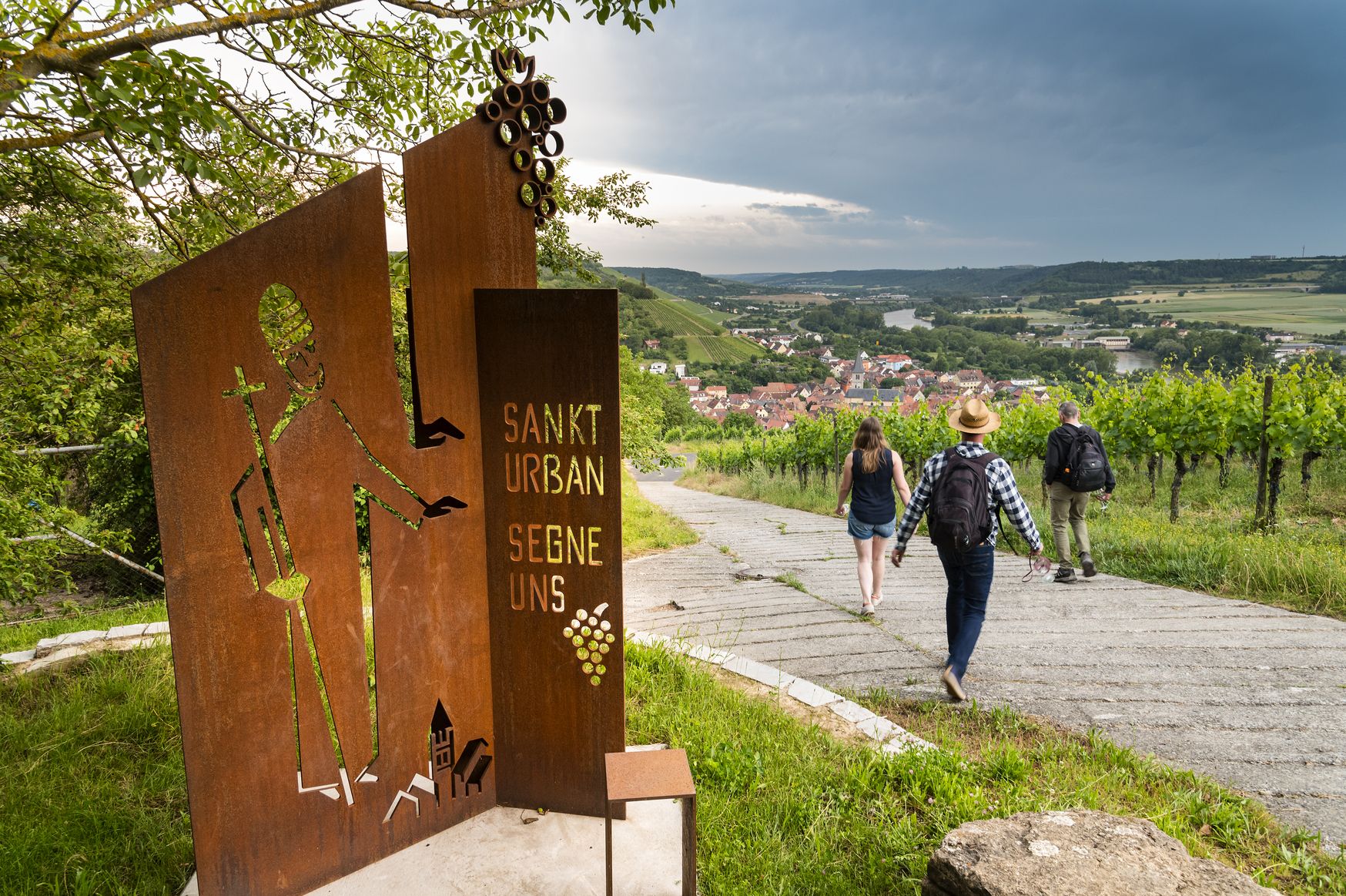
Hiking and culinary delights – walks in the Franconia wine region

Hiking through Bavaria's cultural landscapes

#GoFurther – discover the views of Germany!
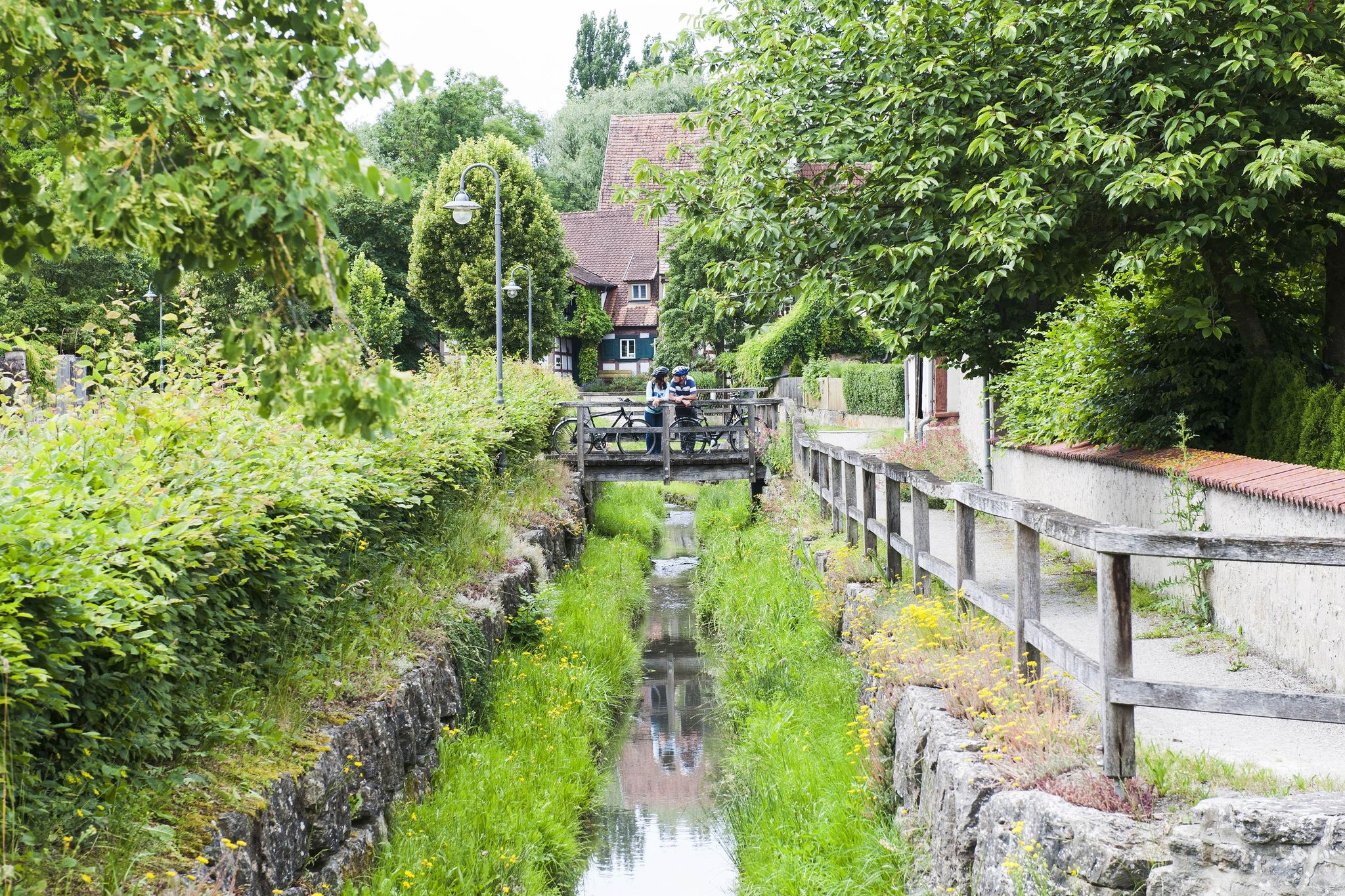
Fun, nature and culture – discover Franconia by bike
Other adventures in Steigerwald


Tips from the Community

Here you can make good progress along the Regnitz right through the green lung of Bamberg, whether on foot or by bike.
0
0
Narrow bridge near Seußling (Altendorf) over the Regnitz river.
1
0

Great scenery for cycling. It also works great with a gravel bike.
0
0

The bridge is known for its impressive panorama. From this vantage point, one of the most beautiful views upstream of the former fishing village unfolds, with its medieval half-timbered houses and boat moorings situated directly on the water. In the distance, the striking Old Town Hall, built in the middle of the river, can be seen.
7
0
Beautiful view of Little Venice with its well-kept half-timbered houses. Not as crowded as the Lower Bridge.
5
0

From the "Forsthaus" inn, you have a beautiful view over the Great Bishop's Pond (Dechsendorfer Weiher), and in good weather, you can even enjoy a beautiful sunset over the pond. In summer, the "Forsthaus" hosts wonderful events on Thursdays with live music and, for example, "barbecue, all you can eat," etc.
1
0


It came out of nowhere. A hilly single trail. It's fun.
0
0
Frequently Asked Questions
How many gravel bike trails are available in Steigerwald?
Steigerwald offers a vast network for gravel biking, with over 870 routes recorded on komoot. This includes a diverse range of trails suitable for various preferences and skill levels.
What kind of terrain can I expect on gravel bike trails in Steigerwald?
The terrain in Steigerwald is incredibly varied, making it ideal for gravel biking. You'll traverse through extensive ancient oak and beech forests, sunny vineyards in the western parts, and gentle rolling hills. The region also features wetlands and numerous small ponds, particularly around Aischgrund, adding to the diverse landscape.
Are there gravel routes suitable for beginners or families in Steigerwald?
Yes, Steigerwald offers routes for all abilities. While many trails are moderate or difficult, there are over 100 easy routes available. For a moderate option that explores wetlands and pond chains, consider the Rest Area at Altweiher Lake – Pond chain near Poppendorf loop from Erlangen, which is about 23.7 miles long.
What do other gravel bikers enjoy most about the trails in Steigerwald?
The gravel biking experience in Steigerwald is highly rated by the komoot community, with an average score of 4.5 stars from nearly 800 reviews. Riders frequently praise the region's diverse terrain, from tranquil forests to scenic vineyards, and the extensive network of paths that allow for varied and engaging rides away from mass tourism.
Are there any notable landmarks or scenic viewpoints along the gravel routes?
Absolutely. Steigerwald is rich in natural beauty and historical sites. You can find panoramic views from elevated points like the 475-meter-high Zabelstein, which has an observation tower. The Veitenstein Viewpoint – View from Veitenstein loop from Bamberg offers stunning vistas. Additionally, the Lower bridge near Bamberg is a popular viewpoint.
Can I explore historical sites or cultural attractions while gravel biking?
Yes, many routes pass by or near significant cultural highlights. For instance, the Franconian Castles and Breweries Loop navigates through a landscape dotted with historical sites. You can also find attractions like the Old Town Hall (Altes Rathaus) and the Old Town Bamberg, a UNESCO World Cultural Heritage Site, which are accessible from various routes.
Are there circular gravel routes available in Steigerwald?
Many of the gravel routes in Steigerwald are designed as loops, offering convenient circular tours. Examples include the Franconian Castles and Breweries Loop and the Rest Area at Altweiher Lake – Pond chain near Poppendorf loop from Erlangen, allowing you to start and end at the same point.
What are the parking options for gravel bikers in Steigerwald?
Given Steigerwald's popularity as a cycling destination, many trailheads and towns offer designated parking areas. It's advisable to check specific starting points for detailed parking information, especially in smaller villages or nature park access points. Larger towns like Bamberg or Erlangen, often used as starting points, have more extensive parking facilities.
Is public transport an option to reach trailheads in Steigerwald?
Public transport can be an option, especially to larger towns within or bordering the Steigerwald region, such as Bamberg or Erlangen. From these hubs, you can often connect to smaller villages or directly access trailheads. Regional bus services and train lines serve parts of the area, but it's recommended to check schedules and bike transport policies in advance.
What is the best time of year for gravel biking in Steigerwald?
The Steigerwald is beautiful year-round, but spring (April-May) and autumn (September-October) are particularly pleasant for gravel biking. During these seasons, the weather is generally mild, and the landscapes are vibrant with spring blossoms or autumn colors. Summer can also be great, though it's wise to start earlier to avoid midday heat. Winter riding is possible, but some paths might be muddy or icy.
Are there any less crowded gravel trails for a more tranquil experience?
While Steigerwald is a popular cycling region, its extensive network of trails means you can often find quieter routes, especially away from the main tourist hubs. Exploring the deeper parts of the ancient forests or the less-trafficked paths through wetlands can offer a more serene experience. Routes like the Trailsdorf Mill – Old Mill Trailsdorf loop from Hemhofen might offer a more tranquil ride.
Can I find cafes or pubs along the gravel routes in Steigerwald?
Yes, many routes pass through or near traditional Franconian villages and towns where you can find cafes, pubs, and restaurants. The region is known for its hospitality and local cuisine. For example, the Pleasure tour through river valleys, traditional Franconian villages and vineyards is designed to showcase these local amenities.
Most popular routes in Steigerwald
Most popular attractions in Steigerwald

Get inspired with the komoot mobile app


Explore more
Browse the best Gravel rides in other regions.
