The best walks and hikes in Steigerwald
4.5
(38027)
154,655
hikers
9,900
hikes
Hiking trails in Steigerwald traverse a diverse hill region in Franconia, Germany, characterized by rolling hills, extensive deciduous and pine forests, and meadow valleys. The landscape features majestic oak and beech forests, particularly between the Zabelstein Mountains and Ebrach. The western part of the Steigerwald includes vineyards, while the northern crest offers panoramic views from Zabelstein Mountain.
Best hiking trails in Steigerwald
- The most popular hiking route is DreamRound Castell, a 7.6 miles (12.2 km) trail that takes 3 hours 24 minutes to complete, leading through varied forest and open landscapes.
- Another top favourite among local hikers is Waldläufer – Steigerwald Wine Panorama, a difficult 6.2 miles (9.9 km) path offering views over vineyards and the surrounding region.
- Local hikers also love the Steigerwald-Runde Three Forests Trail, a 9.1 miles (14.6 km) trail leading through dense woodlands and open fields, often completed in about 4 hours 5 minutes.
- Hiking in Steigerwald is defined by rolling hills, extensive forests, and scenic vineyards. The network offers options for different ability levels, from easy paths to more challenging ascents.
- The routes in Steigerwald are highly rated by the komoot community with an average score of 4.6 stars from over 33000 reviews. More than 150000 hikers have used komoot to explore Steigerwald's varied terrain.
Last updated: September 28, 2026
4.7
(323)
1,099
hikers
12.2km
03:24
230m
230m
Moderate hike. Good fitness required. Easily-accessible paths. Suitable for all skill levels.
4.6
(139)
368
hikers
9.91km
03:20
200m
200m
Hard hike. Good fitness required. Sure-footedness, sturdy shoes and alpine experience required.

4.6
(96)
402
hikers
6.43km
01:49
140m
140m
Easy hike. Great for any fitness level. Easily-accessible paths. Suitable for all skill levels.
4.6
(113)
374
hikers
6.80km
01:49
70m
70m
Easy hike. Great for any fitness level. Easily-accessible paths. Suitable for all skill levels.
4.7
(97)
321
hikers
14.6km
04:05
290m
290m
Moderate hike. Good fitness required. Easily-accessible paths. Suitable for all skill levels.
4.6
(58)
254
hikers
6.96km
01:52
80m
80m
Easy hike. Great for any fitness level. Easily-accessible paths. Suitable for all skill levels.
4.4
(76)
306
hikers
9.29km
02:32
140m
140m
Moderate hike. Good fitness required. Easily-accessible paths. Suitable for all skill levels.
4.6
(110)
354
hikers
14.3km
03:47
140m
140m
Moderate hike. Good fitness required. Easily-accessible paths. Suitable for all skill levels.
4.6
(62)
191
hikers
16.4km
04:23
190m
190m
Moderate hike. Good fitness required. Easily-accessible paths. Suitable for all skill levels.
4.6
(22)
87
hikers
Easy hike. Great for any fitness level. Easily-accessible paths. Suitable for all skill levels.
Get access to more routes and recommendations from other explorers.
Already have an account?
Our route recommendations are based on thousands of hikes, rides, and runs completed by other people on komoot.
Start today with a free account
Your next adventure awaits.
Popular around Steigerwald

Steigerwald panorama trail — 9 days

The National Natural Landscapes in Bavaria
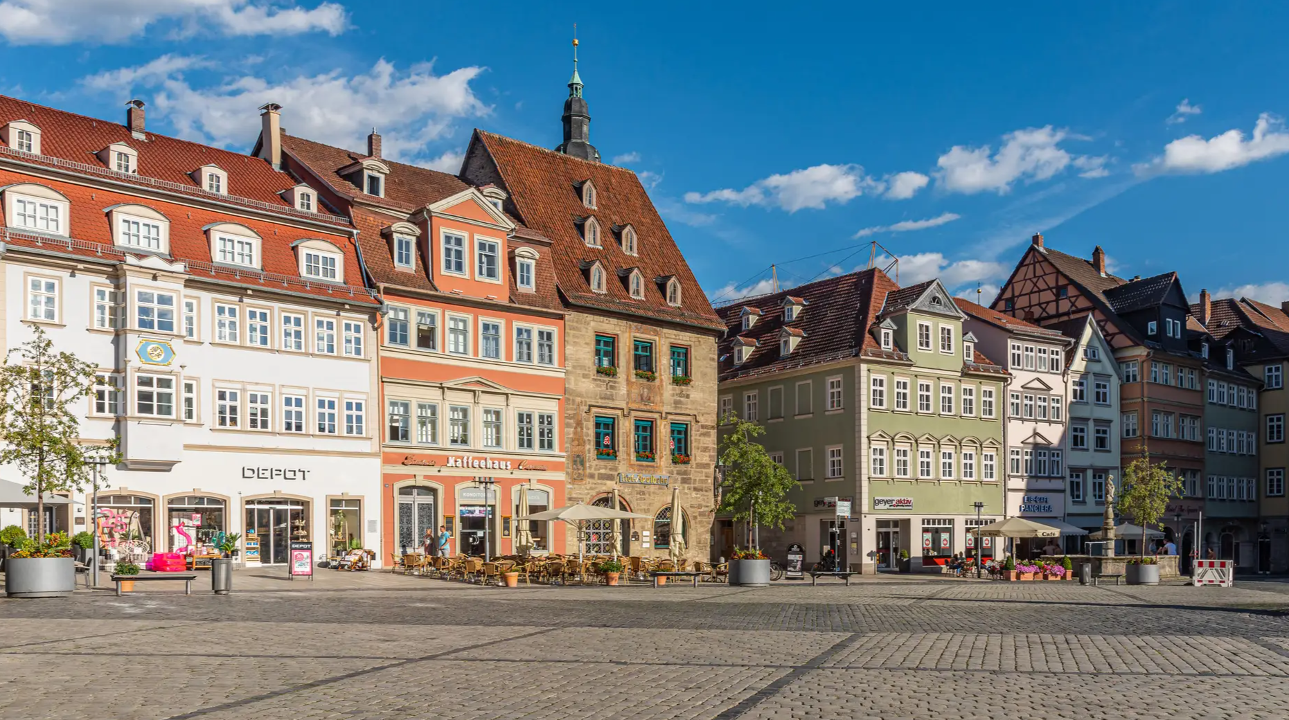
From the metropolis to enjoyment – city hiking on the VGN

Nature, the outdoors and adventure – hiking through the VGN's nature parks
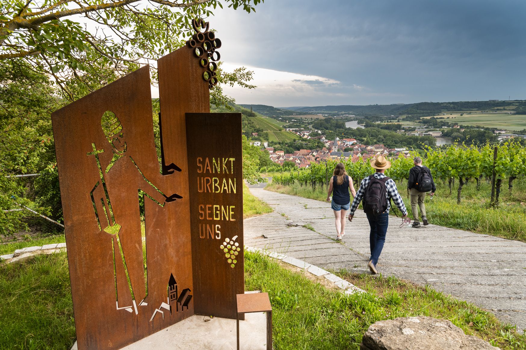
Hiking and culinary delights – walks in the Franconia wine region

Hiking through Bavaria's cultural landscapes

#GoFurther – discover the views of Germany!
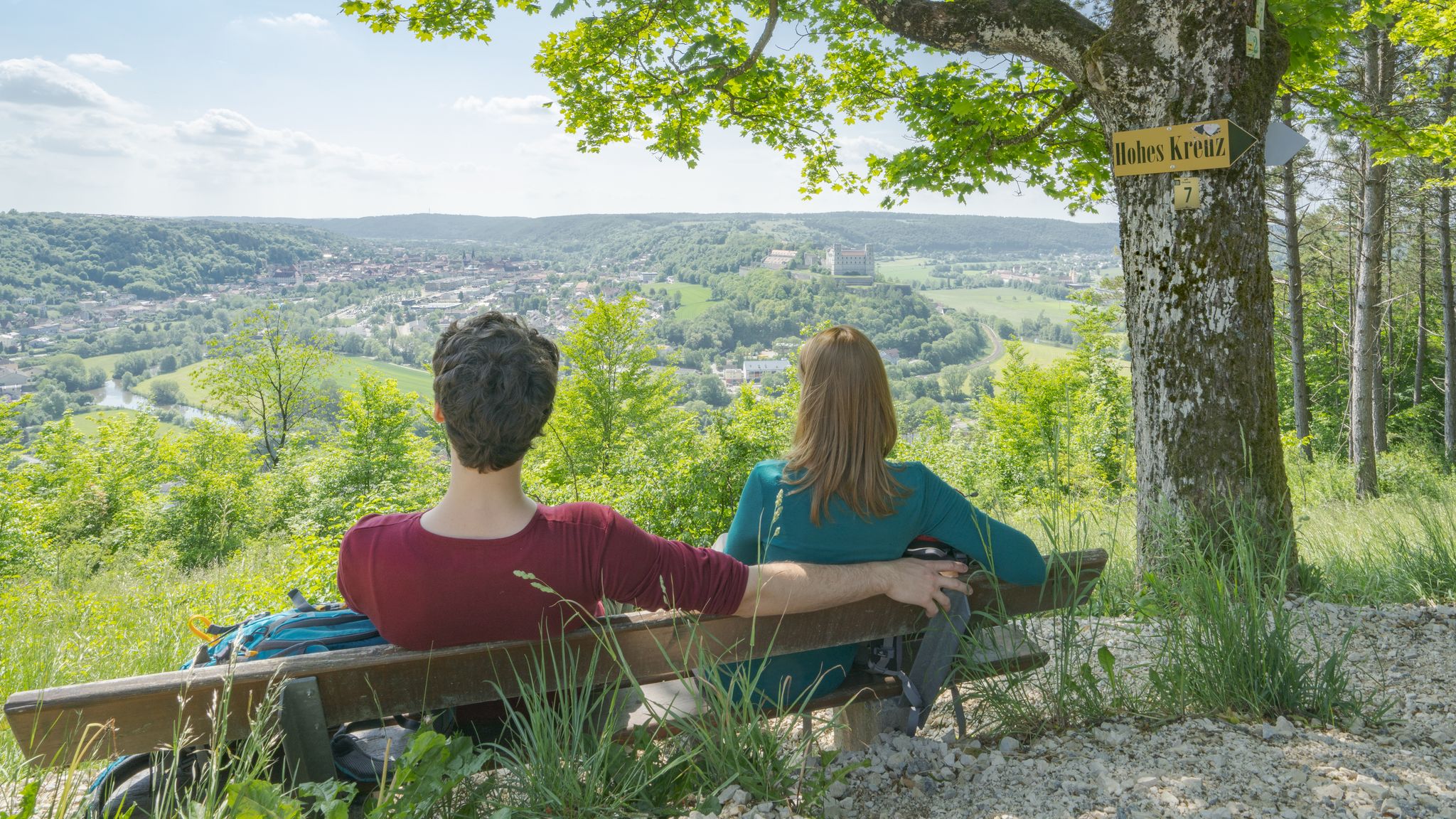
Pleasure, nature and culture – hiking around the Franconian towns

Thousands of kilometres of hiking fun – long-distance hiking trails in Bavaria

No time for boredom – family hikes with a fun factor in Bayern
Other adventures in Steigerwald


Tips from the Community

Wonderful panoramic view of Dornheim and the Schwanberg
0
0

Old houses along the Wiesent River 👌👍 They're lovely to look at.
2
0

It's somewhat hidden, but the view down to Bamberg from here is well worth taking in.
1
0

Trail near the burial mounds
1
0

Beautiful trail at the burial mounds
0
0
Two burial mounds — still partially recognizable
0
0

Frequently Asked Questions
How many hiking trails are available in Steigerwald?
Steigerwald offers a vast network of over 10,000 hiking trails. These routes cater to all skill levels, from easy strolls through vineyards to more challenging ascents through dense forests.
What kind of landscapes can I expect to see while hiking in Steigerwald?
The Steigerwald region is characterized by its diverse natural beauty. You'll encounter rolling hills, extensive deciduous and pine forests, lush meadow valleys, and picturesque vineyards, especially in the western part. Notable features include majestic oak and beech forests, small ponds, and panoramic viewpoints from higher elevations like Zabelstein Mountain.
Are there easy hiking trails suitable for beginners or casual walkers?
Yes, Steigerwald has plenty of easy trails. Over 5,800 routes are classified as easy. An excellent option is the Iphofen Wine Discovery Tour, which is 4 miles (6.4 km) long and takes about 1 hour 50 minutes, offering gentle paths through vineyards. Another accessible choice is the Oasis of the senses Münchsteinach, an easy 4.2 miles (6.8 km) route.
Can I find circular hiking routes in Steigerwald?
Yes, many trails in Steigerwald are designed as circular routes, allowing you to start and end at the same point. For example, the DreamRound Dornheim is a moderate 8.9 miles (14.3 km) loop, and the Volkach loop is a longer moderate option at 10.2 miles (16.4 km).
Are there any family-friendly hiking options or attractions in Steigerwald?
Steigerwald is great for families. Many easy trails are suitable for children. A popular attraction is the Baumwipfelpfad Steigerwald (Treetop Path) near Ebrach, which offers a unique perspective of the forest from above. The Petersberg Nature Trail also features a barrier-free 'blue witch' path, perfect for families with strollers.
What are some notable landmarks or points of interest to see along the trails?
Beyond the natural beauty, you can explore historical sites and unique attractions. Consider visiting the Hoheneck Castle, the ruins of Hohenlandsberg Castle, or the Stollburg Ruins. The region also features natural highlights like the Tränksee and the scenic Volkacher Mainschleife.
What is the best time of year to go hiking in Steigerwald?
The Steigerwald is beautiful year-round, but spring and autumn are particularly recommended. In spring, the forests burst with fresh greenery and wildflowers, while autumn offers stunning foliage colors. Summer is also pleasant, especially in the shade of the extensive forests. Winter hiking is possible on cleared paths, but some trails might be less accessible.
Is Steigerwald a dog-friendly hiking destination?
Yes, Steigerwald is generally very dog-friendly. Many trails wind through forests and open fields, providing ample space for dogs to enjoy. Always keep your dog on a leash where required, especially near wildlife or in protected areas, and ensure you carry water for both yourself and your pet.
Are there options for public transport to reach hiking trailheads in Steigerwald?
While a car offers the most flexibility, some areas of Steigerwald are accessible by public transport, primarily buses connecting to train stations in nearby towns. It's advisable to check local bus schedules in advance, especially for more remote trailheads. For detailed information on regional transport, you might find resources on the FrankenTourismus website.
What do other hikers enjoy most about hiking in Steigerwald?
Hikers consistently rate Steigerwald highly, with an average score of 4.6 stars from over 33,000 reviews. Many praise the region's diverse landscapes, from quiet woodlands and rolling hills to scenic vineyards. The well-maintained and extensive network of trails, offering options for all abilities, is also frequently highlighted as a major draw.
Where can I find places to eat or stay near the hiking trails?
Steigerwald has numerous villages and towns that offer various dining and accommodation options. You'll find traditional Franconian inns, restaurants, and cafes, especially in wine-growing areas like Iphofen and Volkach. For specific recommendations, it's best to check local tourist information centers or online guides for the towns you plan to visit.
Are there any challenging hikes for experienced hikers?
Absolutely. While Steigerwald has many easy and moderate trails, there are also challenging options for experienced hikers. The region features routes with significant elevation changes and longer distances. For example, the Waldläufer – Steigerwald Wine Panorama is a difficult 6.2 miles (9.9 km) path that offers rewarding views over vineyards and the surrounding region.
Most popular routes in Steigerwald
Most popular attractions in Steigerwald

Get inspired with the komoot mobile app


Explore more
Browse the best Hikes in other regions.
