The best waterfall hikes and walks in Steigerwald
4.5
(37466)
154,323
hikers
110
hikes
Waterfall hiking trails in Steigerwald traverse a diverse landscape characterized by extensive deciduous and pine forests, including vast beech stands. This hill region reaches up to 498.5 meters above sea level, featuring rolling hills, meadow valleys, and numerous small ponds. The western slopes are also known for their vineyards, adding to the varied scenery. Steigerwald offers a comprehensive network of trails through its protected nature park, providing varied terrain for hikers.
Best waterfall hiking trails in Steigerwald
- The most popular…
Last updated: August 5, 2026
4.3
(6)
15
hikers
10.9km
02:46
20m
20m
Moderate hike. Good fitness required. Easily-accessible paths. Suitable for all skill levels.
4.7
(3)
13
hikers
21.2km
05:52
330m
330m
Hard hike. Very good fitness required. Easily-accessible paths. Suitable for all skill levels.

Sign up for free
5.0
(1)
16
hikers
Easy hike. Great for any fitness level. Easily-accessible paths. Suitable for all skill levels.
4.7
(3)
8
hikers
Hard hike. Very good fitness required. Easily-accessible paths. Suitable for all skill levels.
10
hikers
2.47km
00:37
0m
0m
Easy hike. Great for any fitness level. Easily-accessible paths. Suitable for all skill levels.
Get access to more routes and recommendations from other explorers.
Sign up for free
Already have an account?
Our route recommendations are based on thousands of hikes, rides, and runs completed by other people on komoot.
Start today with a free account
Your next adventure awaits.
Login or Signup
Popular around Steigerwald

Steigerwald panorama trail — 9 days

The National Natural Landscapes in Bavaria
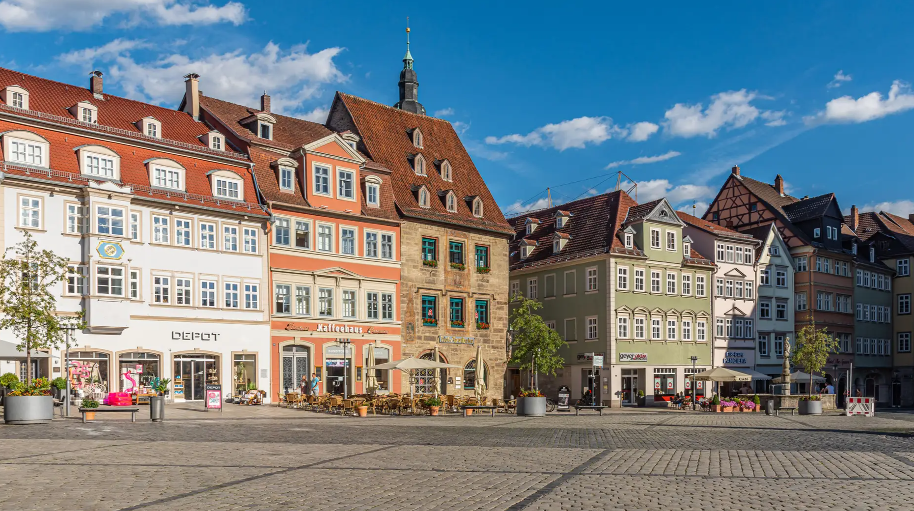
From the metropolis to enjoyment – city hiking on the VGN

Nature, the outdoors and adventure – hiking through the VGN's nature parks
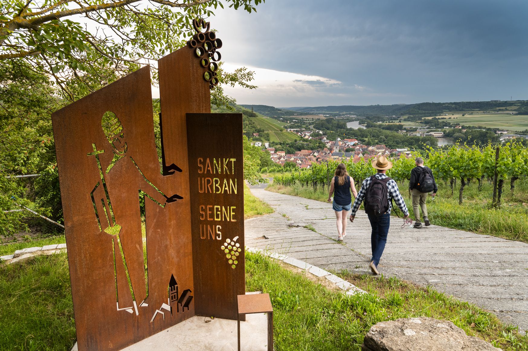
Hiking and culinary delights – walks in the Franconia wine region

Hiking through Bavaria's cultural landscapes

#GoFurther – discover the views of Germany!
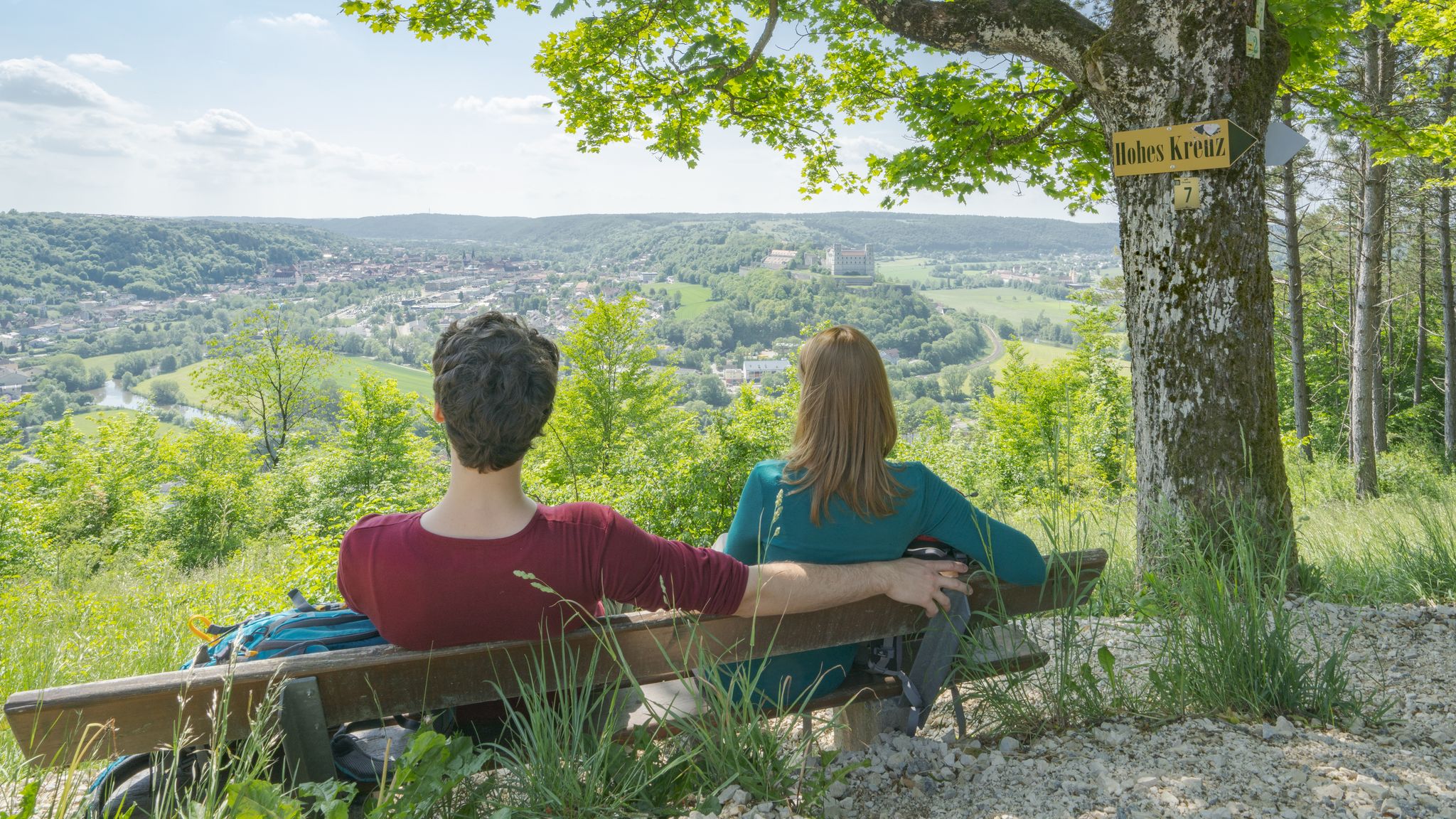
Pleasure, nature and culture – hiking around the Franconian towns

Thousands of kilometres of hiking fun – long-distance hiking trails in Bavaria

No time for boredom – family hikes with a fun factor in Bayern
Other adventures in Steigerwald


Tips from the Community

The Walpurgis Chapel (also called St. Walburgis Chapel) is located on the summit of the Walberla in the Franconian Switzerland, Germany. It is one of the most famous sights of this inselberg, which together with the neighboring Rodenstein forms the double-peak massif of the Ehrenbürg.
0
0
The chapel, also known as "Walburgiskapelle" or "Sankt-Walburgis-Kapelle", was built in 1697, although a presumably wooden predecessor was already mentioned in a document in 1350. The church consecration festival, known as the "Walberla-Fest", traditionally takes place on the first weekend in May at the chapel's location. The current chapel was built in 1697 by the Lords of Wiesenthau. Particularly striking is the bronze statue of Saint Walburga, which stands in front of the chapel and was inaugurated in 2000.
0
0
The St.-Walburgis-Kapelle on the Walberla plateau (more precisely: the Ehrenbürg) is a well-known landmark in the Franconian Jura. The chapel is located on the northern point of the plateau, the so-called Walberla (approx. 514 m), which is part of the Ehrenbürg massif (up to 532 m) in the Forchheim district. The place is dedicated to Saint Walburga, a Benedictine abbess from the 8th century, who is considered a patron saint against plague, distress, and for farmers. Traditionally, the Walberlafest takes place at the beginning of May (around May 1st), one of the oldest mountain festivals in Germany.
1
0
The St. Walpurgis pilgrimage chapel is located in Kirchehrenbach (district St. Walpurgis) in the Upper Franconian district of Forchheim and not in "Ehrenberg". The chapel is situated at an altitude of 507 m above sea level (NHN), approximately one and a half kilometers south of the church center of Kirchehrenbach, and is officially part of the municipality of Kirchehrenbach. Although the name is often associated with Walpurgis Night, the chapel is a pilgrimage site of the Archdiocese of Bamberg, which was first documented in 1350, and its current structure dates back to 1697. Traditionally, the so-called "Walberla-Fest" takes place here as a church consecration festival on the first weekend in May.
1
0
The Walberlafest 2026 begins on Thursday, April 30th, as May 1st falls on a Friday this year, and the opening is brought forward for this reason. The beer tapping and the setting up of the Maypole will take place on Thursday, April 30th, starting at approx. 5:00 PM, followed by festival operations until 11:00 PM.
0
0
This pilgrimage chapel was first mentioned in documents in the 14th century and stands on the high plateau of the mountain, to which a modern bronze statue of the patron saint also leads. The chapel venerates a 16th-century figure of Saint Walpurga and two 17th-century apostle figures. The pilgrimage developed into the annual Walberlafest, held on May 1st. The municipality of Kirchehrenbach features the mountain and the chapel in its coat of arms as a symbol of holy protection and local identity. Every year, the witches' festival "Heia Walpurgis!" also takes place on the Ehrenberg, celebrating the witch folk and often held on May 1st (Walpurgis Day).
1
0

A beautiful destination on the Ehrenbürg is the large summit cross on the Rodenstein: a fantastic panoramic view and a bench invite you to rest.
0
0

There used to be a lot going on at the station.
2
0
Frequently Asked Questions
How many waterfall hiking trails are available in Steigerwald?
Steigerwald offers a wide selection of waterfall hiking trails, with over 100 routes available for exploration. These trails traverse diverse landscapes, from dense forests to rolling hills and picturesque meadow valleys.
What are the difficulty levels of waterfall hikes in Steigerwald?
The waterfall hiking trails in Steigerwald cater to various fitness levels. You'll find a good mix of options, including around 29 easy routes perfect for a leisurely stroll, 59 moderate trails for a more engaged experience, and 20 challenging routes for experienced hikers seeking significant elevation changes.
Are there any easy waterfall hikes suitable for beginners or families?
Yes, Steigerwald has several easy waterfall hikes ideal for beginners or families. An example is the Forchheim Old Town loop from Forchheim (Oberfr), which is a shorter, less strenuous option. These trails often feature gentle elevation changes and are great for enjoying nature at a relaxed pace.
What kind of natural features can I expect to see on these trails?
Beyond the waterfalls, Steigerwald's trails showcase diverse natural beauty. You'll encounter extensive deciduous and pine forests, including impressive beech stands. The region is characterized by rolling hills, lush meadow valleys, and numerous small ponds. The western slopes also feature vineyards, adding to the varied scenery.
What do other hikers say about the trails in Steigerwald?
The trails in Steigerwald are highly regarded by the komoot community, boasting an average rating of 4.6 stars from over 27,000 reviews. Hikers frequently praise the region's diverse landscapes, well-maintained paths, and the opportunity to explore both dense forests and open vistas.
Are there any circular waterfall routes in Steigerwald?
Yes, many of the waterfall trails in Steigerwald are designed as circular routes, allowing you to start and end at the same point. For instance, the Wide Valley View – Italienergraben loop from Forchheim (Oberfr) is a popular moderate circular trail that offers varied landscapes.
What are some notable landmarks or attractions near the waterfall hikes?
While exploring the waterfall trails, you can also discover nearby attractions. Consider visiting the historic Old Town Hall (Altes Rathaus), Bamberg or the charming Volkach Market Square and Fountain. The region also features natural highlights like the Böhlbach Valley and Pfalzbach Gorge, which offer additional scenic beauty.
Is Steigerwald Nature Park accessible by public transport for hikers?
Steigerwald Nature Park is a protected area, and while specific public transport details for every trailhead can vary, the region generally has connections to its towns. It's advisable to check local bus or train schedules for the specific starting point of your chosen waterfall hike.
What is the best time of year to visit Steigerwald for waterfall hikes?
Steigerwald offers beautiful hiking experiences throughout the year. Spring brings lush greenery and fuller waterfalls from snowmelt, while autumn provides stunning foliage. Summer is ideal for warmer weather, and even winter can offer serene, snow-dusted landscapes, though some trails might be more challenging. The diverse forests and water features are enjoyable in most seasons.
Are there any trails that offer expansive views?
Yes, many trails in Steigerwald lead to viewpoints offering panoramic vistas. For example, the View of Walpurgis Chapel – Wiesenthauer Needle loop from Forchheim (Oberfr) is a more difficult route known for its significant elevation gain and expansive views across the region, allowing you to appreciate the rolling hills and forests.
Can I bring my dog on the waterfall hiking trails in Steigerwald?
Generally, dogs are welcome on hiking trails in Steigerwald, especially within the Nature Park. However, it's always recommended to keep them on a leash, particularly in protected areas, near wildlife, or when passing through vineyards and agricultural lands. Always check for specific signage at trailheads regarding dog regulations.
Are there any specific trails that highlight the region's forests?
Steigerwald is renowned for its extensive forests, particularly its ancient beech stands. Many trails immerse you directly in these woodlands. The View of Walberla – Moritz Spring loop from Gosberg is an example of a trail that leads through forested areas, allowing you to experience the region's characteristic tree diversity.
Most popular routes in Steigerwald
Most popular attractions in Steigerwald

Get inspired with the komoot mobile app


Explore more
Browse the best Hikes in other regions.
