The best running trails around Gütenbach
4.5
(169)
2,300
runners
192
runs
Jogging around Gütenbach offers diverse landscapes within the Black Forest, characterized by significant elevation changes from approximately 530 to 1,120 meters above sea level. Over 62% of the area is covered by forests, providing a lush natural environment for running. The terrain includes well-maintained paths, challenging routes with steep ascents, and narrow trails, catering to various fitness levels. Deep valleys, gorges, and gentle mountain meadows contribute to the varied scenery.
Best jogging routes around Gütenbach
- The most popular jogging route…
Last updated: October 1, 2026
31
runners
Moderate run. Good fitness required. Mostly paved surfaces. Suitable for all skill levels.
5.0
(3)
30
runners
11.0km
01:12
210m
210m
Moderate run. Good fitness required. Mostly paved surfaces. Suitable for all skill levels.

4.3
(4)
37
runners
6.46km
00:42
100m
100m
Moderate run. Good fitness required. Mostly paved surfaces. Suitable for all skill levels.
5.0
(1)
9
runners
7.19km
00:49
160m
160m
Moderate run. Good fitness required. Mostly paved surfaces. Suitable for all skill levels.
5
runners
4.40km
00:54
310m
320m
Hard run. Very good fitness required. Sure-footedness, sturdy shoes and alpine experience required.
Get access to more routes and recommendations from other explorers.
Already have an account?
Our route recommendations are based on thousands of hikes, rides, and runs completed by other people on komoot.
Start today with a free account
Your next adventure awaits.
Popular around Gütenbach
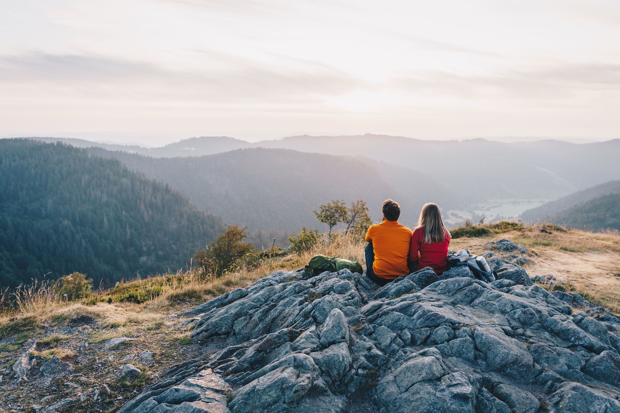
ZweiTälerSteig and other cool hikes in Germany
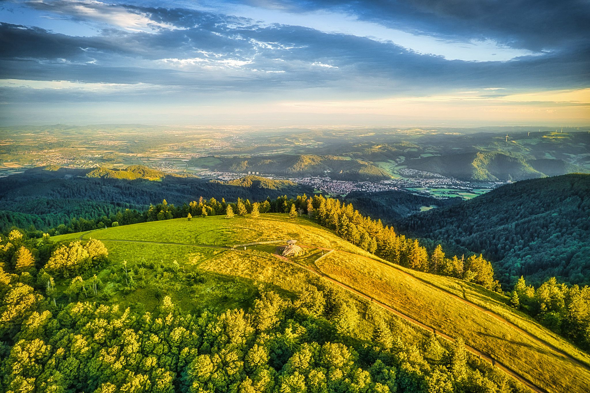
Two valleys, endless views – hiking in the ZweiTälerLand
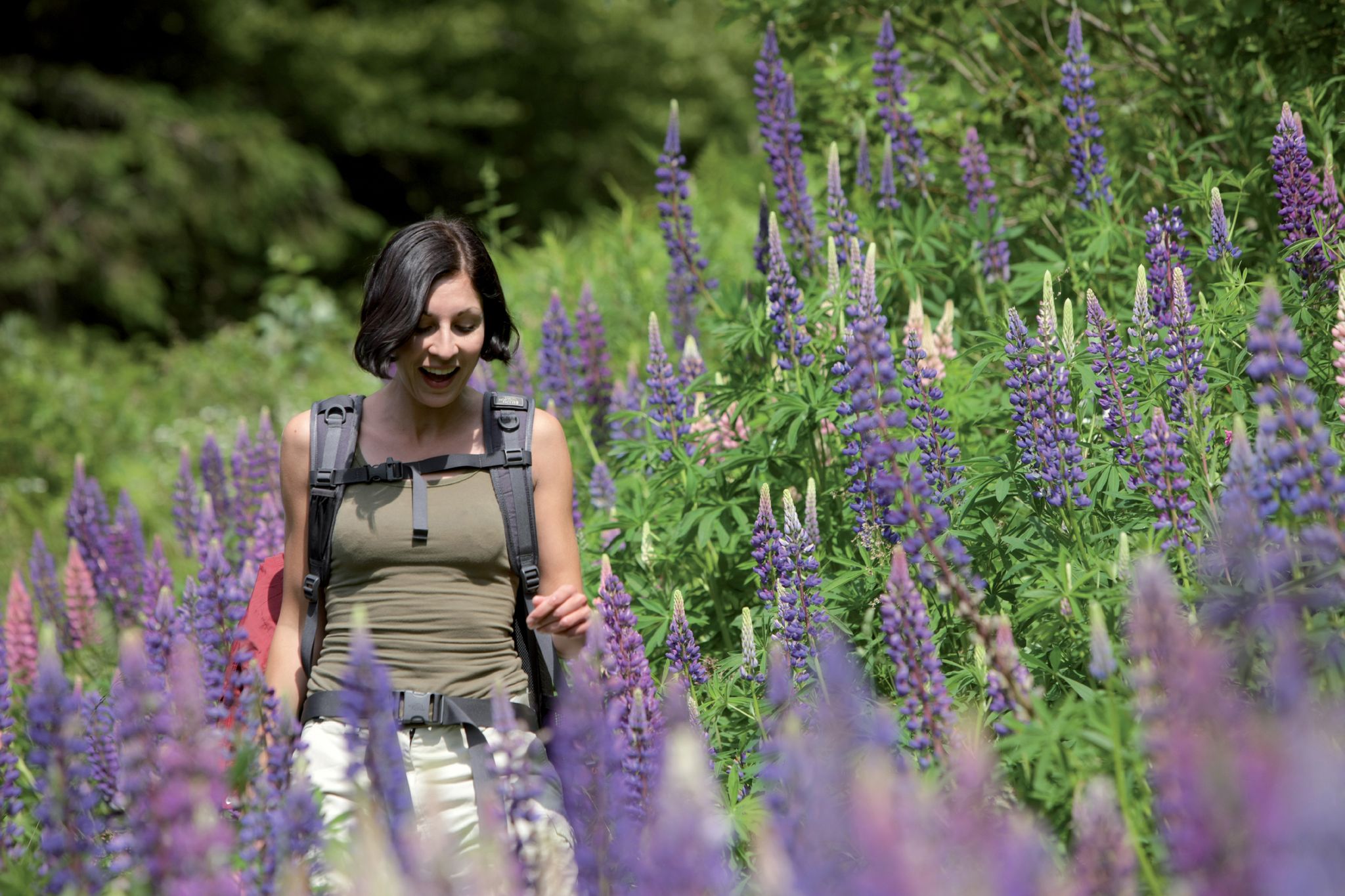
Exploring the Black Forest in Germany – fantastic trails & nature
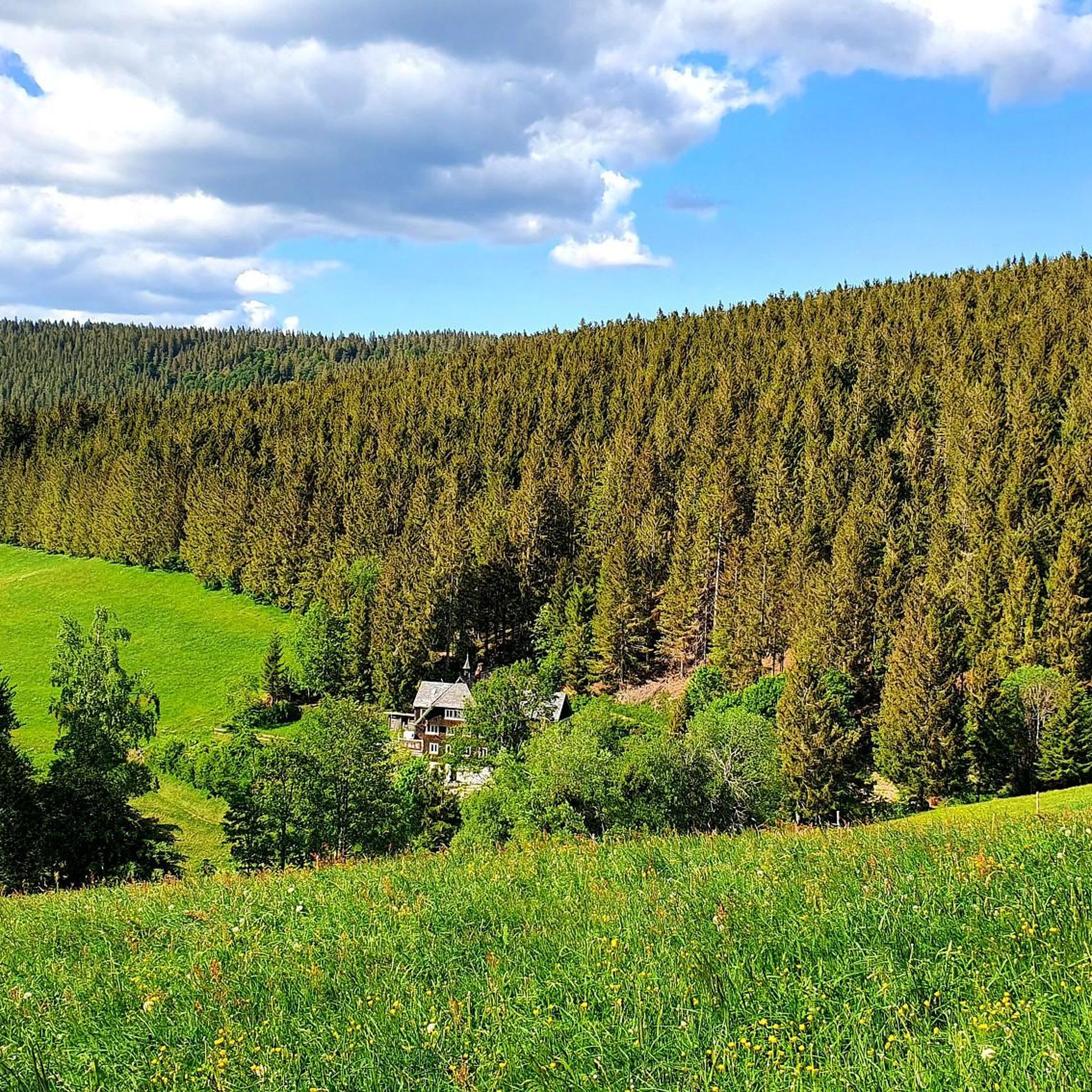
Hiking around Gütenbach
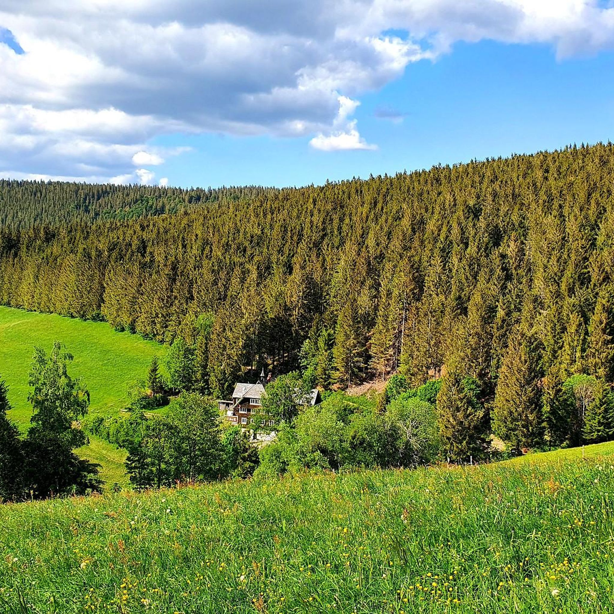
Road Cycling Routes around Gütenbach
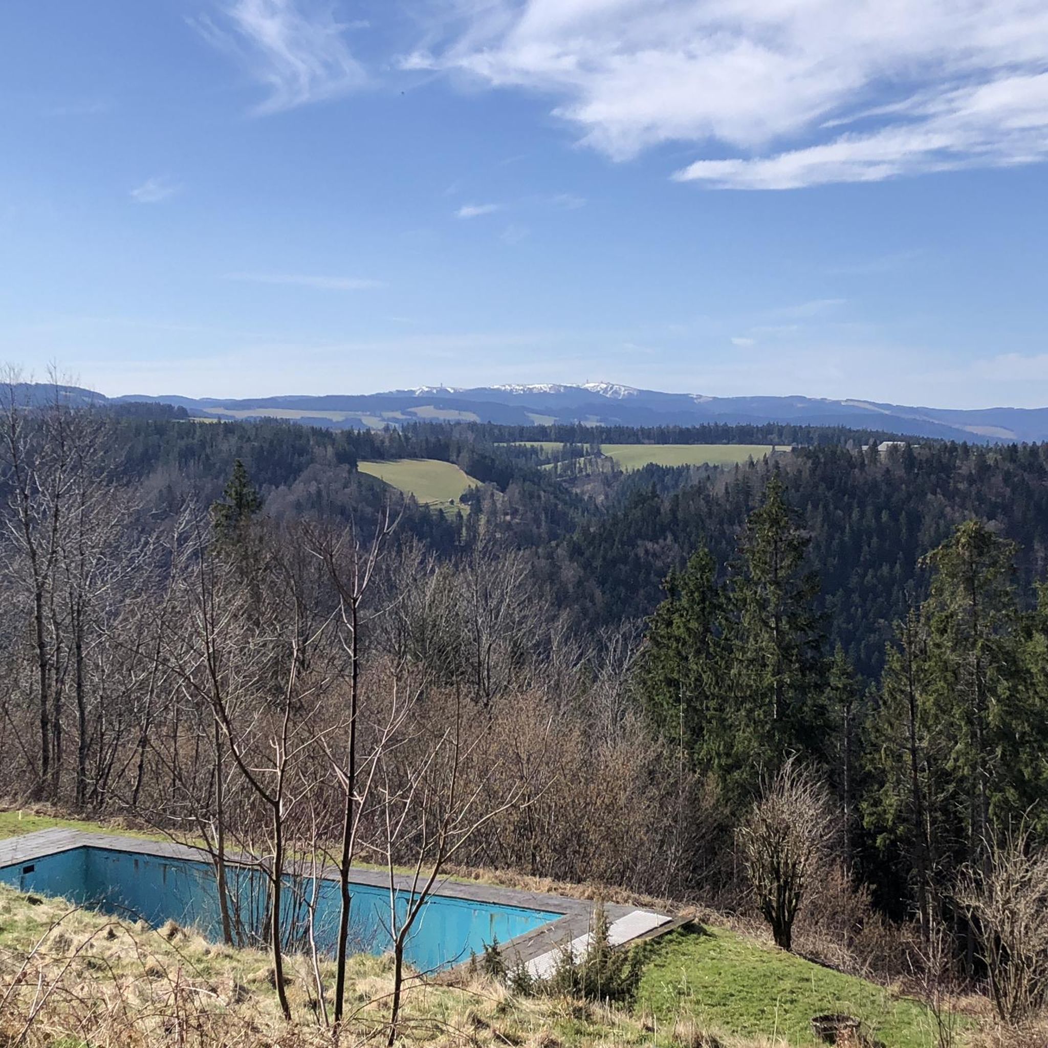
Cycling around Gütenbach
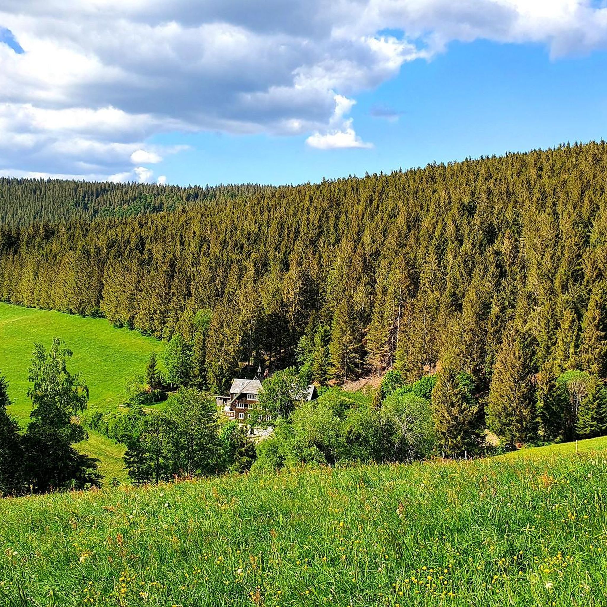
MTB Trails around Gütenbach
Gravel biking around Gütenbach

Mountain Hikes around Gütenbach
Other adventures around Gütenbach


Tips from the Community

the watershed between the Danube and the Rhine
0
0

The Martinskapelle is located on an old pass road between the Breg and Elz springs, at the height of the Danube-Rhine watershed. The origin of the chapel dates back to pre-Carolingian times. Excavation findings suggest that a sacred building already stood here around 800. Perhaps the road from Furtwangen to the pass summit was already an old La Tène road and there were connections between Celtic and early Christian culture here.
0
0
The European watershed at Martinskapelle near Furtwangen in the Black Forest separates the catchment area of the North Sea (via the Rhine) from that of the Black Sea (via the Danube) at an altitude of around 1,085 meters. Course of the watershed Rhine catchment area (northwestern side): The Elz rises here, which ultimately flows into the North Sea via the Rhine. Danube catchment area (southeastern side): Only about 100 meters from the watershed lies the Breg spring. The Breg is considered the longest source river of the Danube, whose waters flow into the Black Sea. The separation: A ridge only a few meters wide decides here whether a water droplet begins its journey west to the Rhine or east to the Danube.
0
0

Unfortunately, the Hintereck is temporarily closed.
0
0

Hut closed from the end of 2025
0
0

The Hintereck-Hütte has been closed since October 2025 due to a lack of tenants, but there is a drinks station with reasonable prices and a fountain in front of it. I would avoid the descent on the Wäldersteig to the parking lot when it's wet.
0
0
Frequently Asked Questions
What kind of terrain can I expect when running in Gütenbach?
Gütenbach, nestled in the Black Forest, offers a diverse running experience with significant elevation changes, ranging from approximately 530 to 1,120 meters above sea level. Over 62% of the area is forested, providing lush, natural environments. You'll find a mix of well-maintained paths, challenging routes with steep ascents, and narrow trails, catering to various fitness levels. Expect deep valleys, gorges, and gentle mountain meadows.
Are there any easy or beginner-friendly running routes in Gütenbach?
Yes, Gütenbach offers options for all abilities. While many routes feature elevation, there are over 10 easy running trails available. These routes provide a gentler introduction to the region's beauty. For example, the View of Martinskapelle – Brend Naturefriends House loop from Bregquelle is a moderate 4.0-mile path that is popular and accessible.
What natural attractions or landmarks can I see along the running routes?
The running routes around Gütenbach are rich with natural beauty. You can encounter spectacular sights like the Zweribach Waterfalls, the captivating Teichschlucht Waterfalls, and the serene Blindensee. The region also features deep valleys like the Wildgutach Valley and the Urach Valley, offering diverse scenery.
Are there any circular running routes available?
Yes, many of the running routes in Gütenbach are designed as loops, allowing you to start and finish at the same point. A popular example is the Running loop from Neukirch, which is a 3.4-mile trail through varied landscapes and forest sections.
What is the best time of year for running in Gütenbach?
Gütenbach offers rewarding running experiences throughout the year. The extensive forests provide shade in summer, while the varied terrain and viewpoints offer stunning scenery in spring, autumn, and even winter. The region's natural features, like gorges and waterfalls, are particularly impressive after rainfall or during seasonal changes.
Can I bring my dog on the running trails in Gütenbach?
Generally, dogs are welcome on trails in the Black Forest region. However, it's always recommended to keep your dog on a leash, especially in nature reserves, near wildlife, or in agricultural areas. Always be mindful of local regulations and other trail users.
How many running routes are there in Gütenbach?
There are over 170 running routes available around Gütenbach, offering a wide range of distances and difficulties to explore the diverse landscapes of the Black Forest.
What do other runners say about the trails in Gütenbach?
The running routes in Gütenbach are highly rated by the komoot community, with an average score of 4.5 stars from over 100 reviews. Runners frequently praise the varied terrain, the beautiful forest cover, and the stunning viewpoints found along the trails.
Are there any challenging running routes for experienced runners?
Absolutely. Gütenbach's terrain includes routes with significant elevation gain and challenging sections. For example, the Wanderheim Hintereck loop from Gütenbach is a difficult 4.3-mile route with over 300 meters of ascent, perfect for those seeking a more strenuous workout.
Is there parking available near the running trailheads?
While specific parking details vary by trailhead, many starting points for routes in and around Gütenbach offer convenient parking options. It's advisable to check the route details on komoot for specific parking information before you head out.
Are there any routes that offer panoramic views?
Yes, the mountainous and forested terrain of Gütenbach provides numerous opportunities for panoramic views. Many routes lead to elevated points or open meadows that offer fantastic vistas across the Black Forest landscape. The Bench with a view of Kolmenhof loop from Oberbregenbach is an excellent example, known for its scenic views.
Most popular routes around Gütenbach
Most popular attractions around Gütenbach

Get inspired with the komoot mobile app


Explore more
Browse the best Running Trails & Routes in other regions.
