The best gravel rides around Gütenbach
4.7
(37)
320
riders
43
rides
Gravel biking around Gütenbach offers a diverse landscape characterized by the rolling hills and dense forests of the Black Forest region. The terrain features a mix of forest paths, gravel tracks, and some paved sections, providing varied surfaces for gravel cyclists. Elevation changes are common, with routes often including significant climbs and descents that offer panoramic views. The area's natural features, such as valleys and reservoirs, contribute to a dynamic riding experience.
Best gravel bike trails around Gütenbach
- The most…
Last updated: November 16, 2026
4.6
(5)
89
riders
44.3km
03:13
830m
830m
Hard gravel ride. Very good fitness required. Mostly paved surfaces.
5.0
(1)
25
riders
56.3km
03:47
920m
910m
Hard gravel ride. Very good fitness required. Mostly paved surfaces.

14
riders
27.4km
01:58
570m
560m
Hard gravel ride. Very good fitness required. Mostly paved surfaces.
8
riders
55.7km
03:43
870m
870m
Hard gravel ride. Very good fitness required. Mostly paved surfaces.
4.0
(1)
11
riders
17.3km
01:08
310m
310m
Moderate gravel ride. Good fitness required. Mostly paved surfaces.
Get access to more routes and recommendations from other explorers.
Already have an account?
Our route recommendations are based on thousands of hikes, rides, and runs completed by other people on komoot.
Start today with a free account
Your next adventure awaits.
Popular around Gütenbach
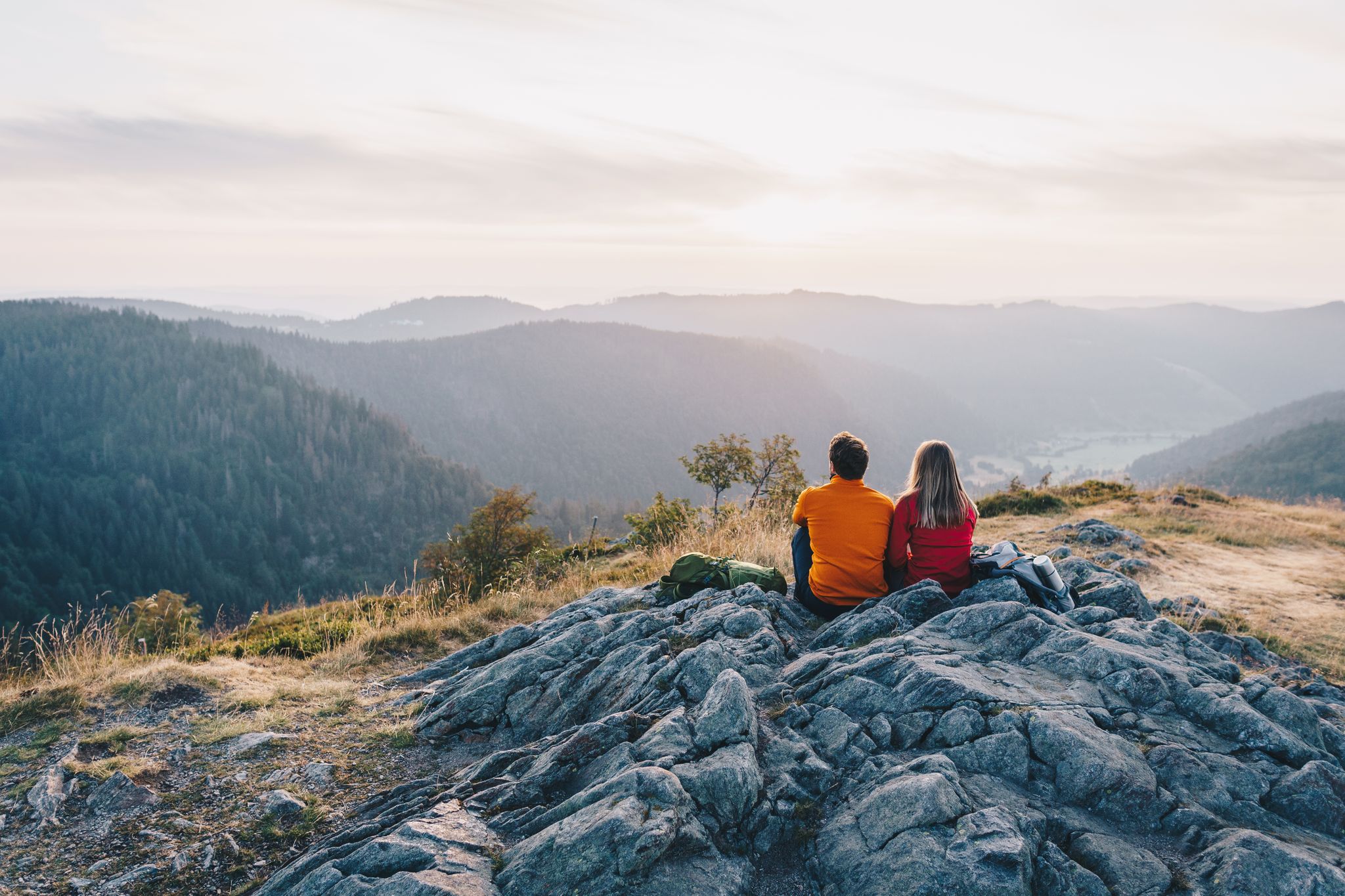
ZweiTälerSteig and other cool hikes in Germany
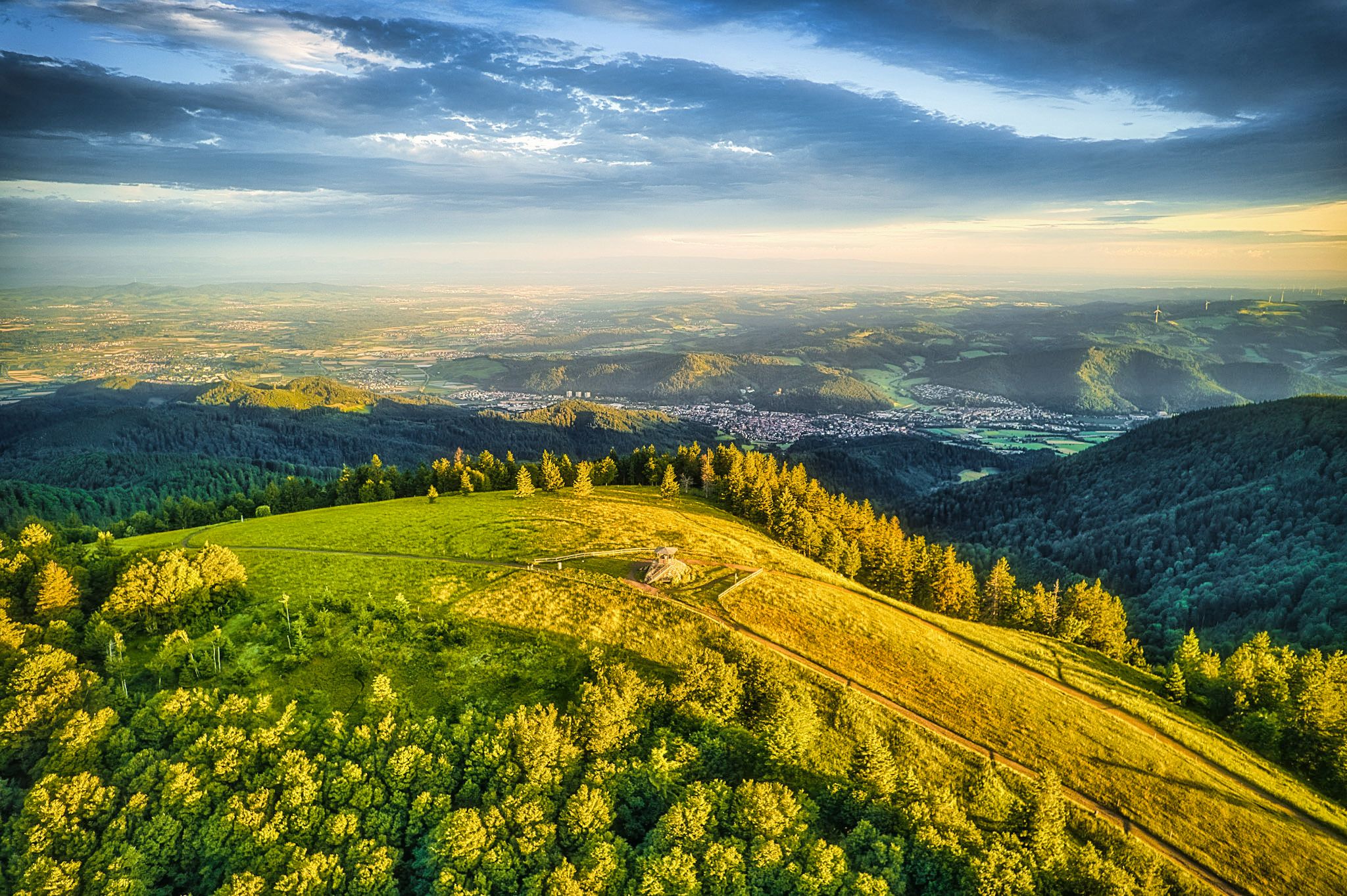
Two valleys, endless views – hiking in the ZweiTälerLand
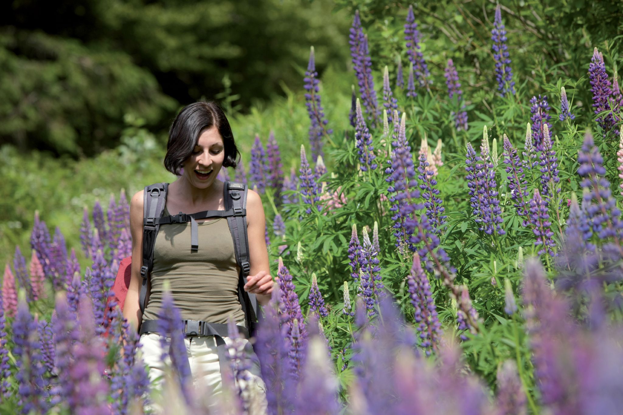
Exploring the Black Forest in Germany – fantastic trails & nature
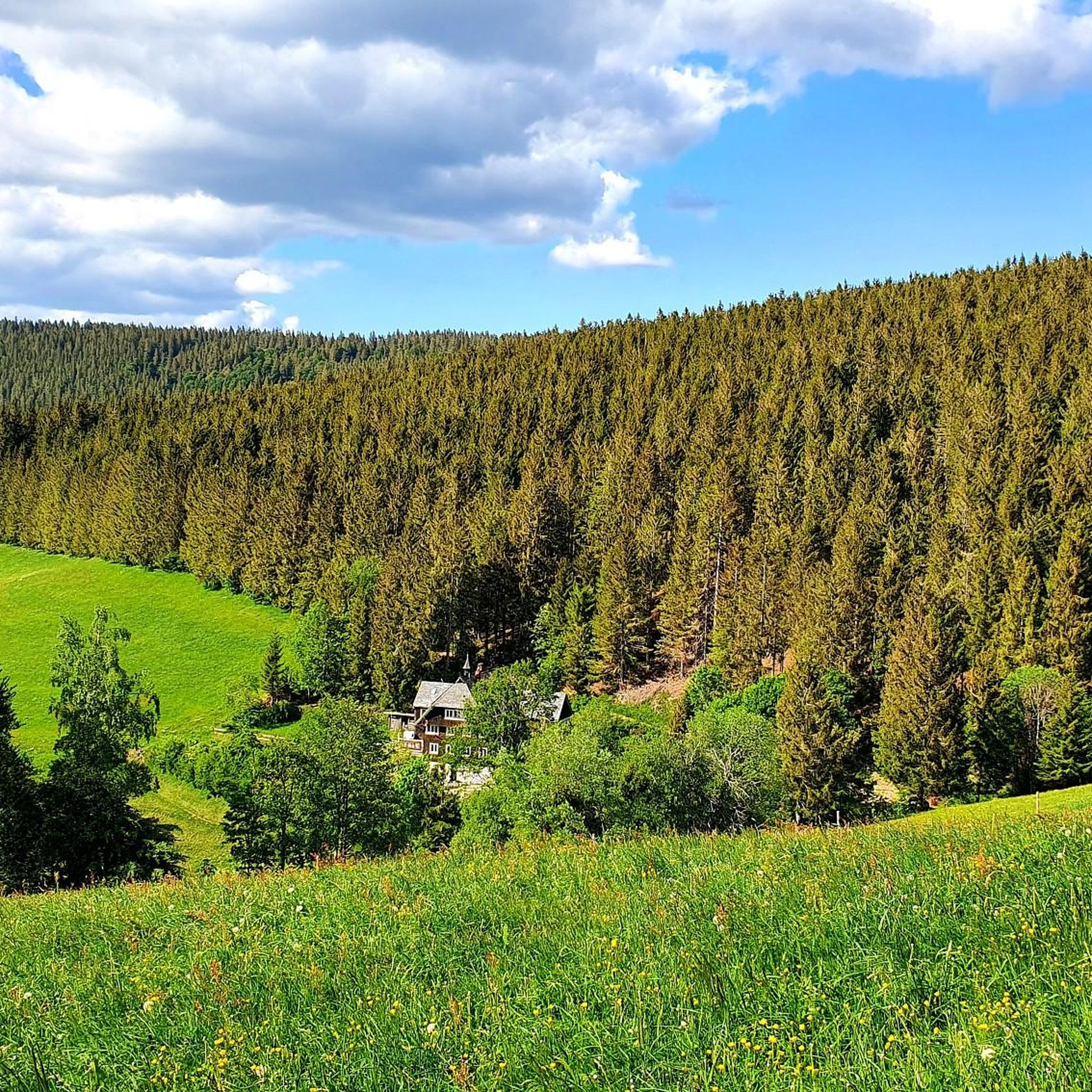
Hiking around Gütenbach
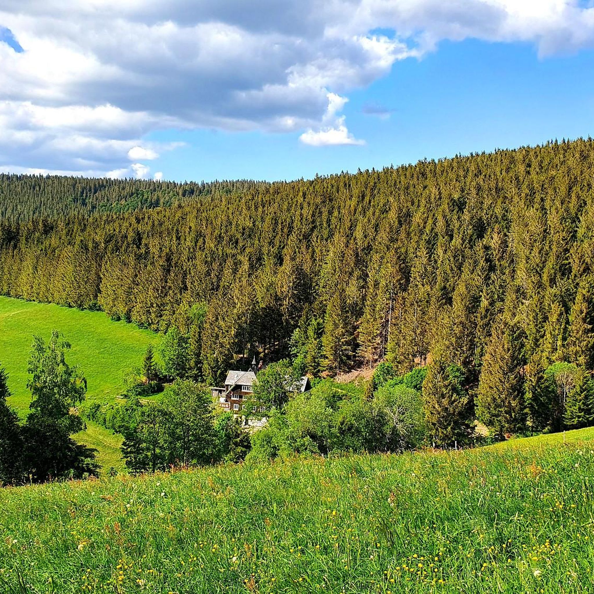
Road Cycling Routes around Gütenbach
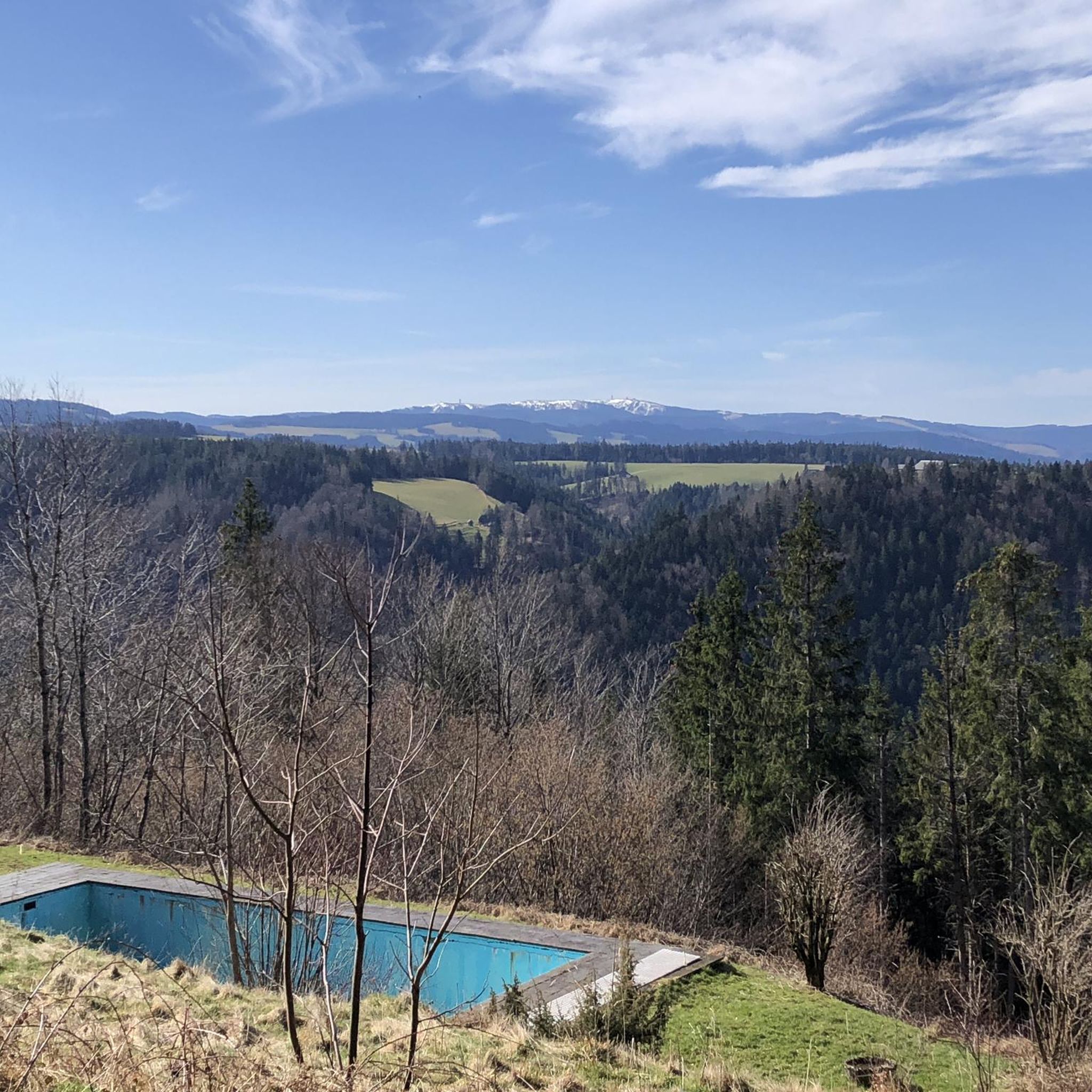
Cycling around Gütenbach
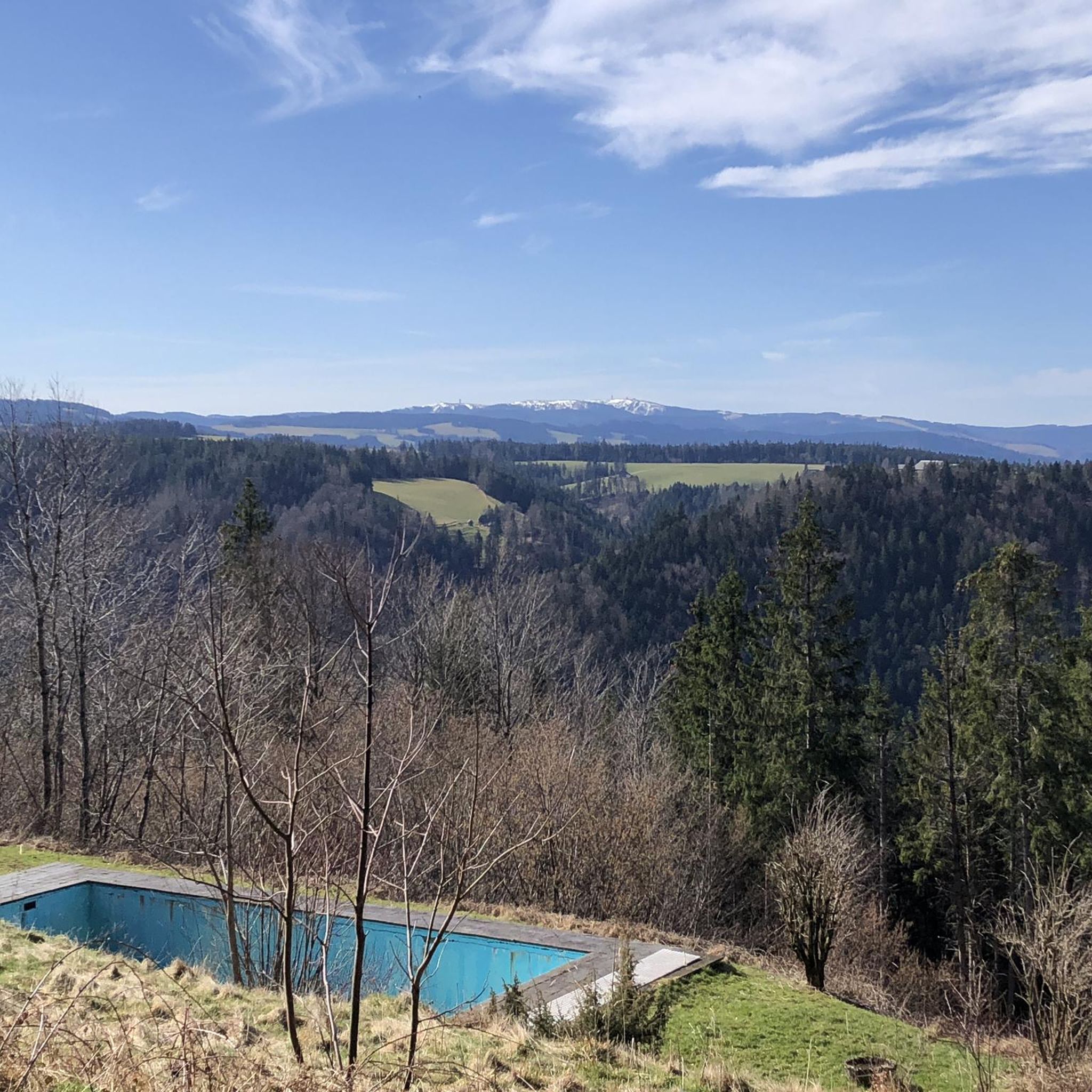
Running Trails around Gütenbach
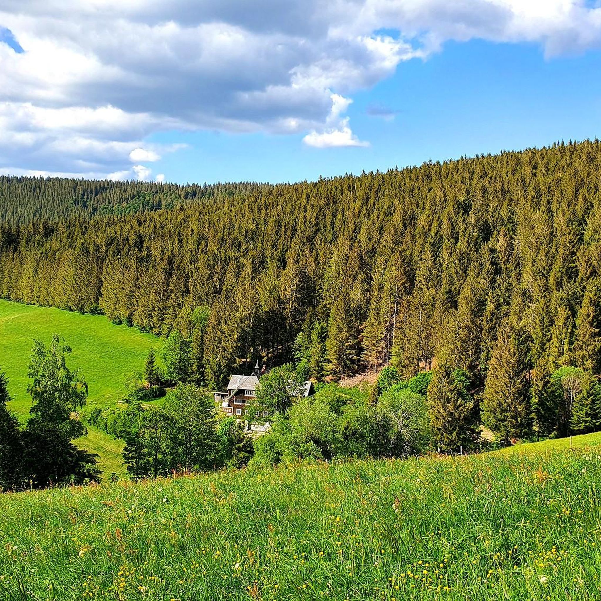
MTB Trails around Gütenbach
Mountain Hikes around Gütenbach
Other adventures around Gütenbach


Tips from the Community

A bike ride to Bregtal is beautiful and relaxing
0
0
The path leads steeply up to the Breg source
0
0

The European watershed at the Martinskapelle near Furtwangen in the Black Forest separates the catchment area of the North Sea (via the Rhine) from that of the Black Sea (via the Danube) at an altitude of around 1,085 meters. Course of the watershed Rhine catchment area (northwest side): Here the Elz originates, which flows via the Rhine ultimately into the North Sea. Danube catchment area (southeast side): Only about 100 meters from the watershed lies the source of the Breg. The Breg is considered the longest headstream of the Danube, whose water flows into the Black Sea. The separation: A ridge only a few meters wide decides here whether a water droplet begins its journey west to the Rhine or east to the Danube.
0
0

another highlight of the day
0
0
great tower with a place to stop for refreshments
0
0

Here too, you have a magnificent view over the Southern Black Forest and, in particularly clear weather, as far as the Swiss Alps.
0
0

Usually open on weekends and holidays Opening hours vary depending on the season and weather Typical dishes: light meals, soups, cakes, simple hot dishes Highly recommended
0
0

Further along the path, you'll have a view down to Sankt Märgen, where there's also a small mountain bike trail by the sports field 🤪
0
0
Frequently Asked Questions
How many gravel bike trails are available around Gütenbach?
There are over 50 gravel bike routes available around Gütenbach, offering a wide range of options for different skill levels. You'll find everything from moderate loops to more challenging routes with significant elevation gain.
What is the general difficulty level of gravel biking in Gütenbach?
The gravel biking trails around Gütenbach are predominantly challenging, with 38 routes rated as difficult. There are also 13 moderate routes and one easy route, ensuring options for various experience levels.
Are there any beginner-friendly gravel bike routes in Gütenbach?
While most routes are moderate to difficult, there is at least one easy gravel bike route available. For those new to gravel biking, we recommend starting with shorter, less steep sections or exploring the single easy route to get accustomed to the terrain.
Can I find gravel bike trails that pass by waterfalls near Gütenbach?
Yes, the region around Gütenbach is known for its beautiful waterfalls. You can find trails that lead to or near attractions like the Triberg Waterfalls or the Zweribach Waterfalls. These natural monuments often feature in scenic routes.
What natural monuments can I explore while gravel biking around Gütenbach?
Beyond waterfalls, you can discover other natural monuments. For instance, the Blindensee, a picturesque lake, or the Boardwalk through the Blindensee Moor offer unique natural experiences. Some routes might also offer views of the Kandel Summit.
Are there any scenic gravel bike routes with great views in Gütenbach?
Absolutely. Many routes in the Black Forest region around Gütenbach offer stunning panoramic views. Consider exploring the View of the Platte – View of St. Märgen loop from St. Märgen for beautiful vistas across the landscape.
Are there family-friendly gravel biking options in Gütenbach?
For families, it's best to look for the moderate or easy-rated routes, which typically have less extreme elevation changes and shorter distances. The Linach Dam – Linach Reservoir loop from Furtwangen is a moderate option that offers scenic riding around the reservoir, which could be suitable for families with some biking experience.
What are some challenging gravel bike routes near Gütenbach?
For experienced gravel bikers seeking a challenge, routes like the Brend Tower – Katzensteigstraße loop from Schönwald im Schwarzwald offer significant elevation gain and demanding terrain. This route provides a good test of endurance and skill.
What is the best time of year for gravel biking in Gütenbach?
The best time for gravel biking in Gütenbach is generally from late spring to early autumn (May to October). During these months, the weather is usually mild, and the trails are dry and well-maintained, offering optimal riding conditions.
What are the conditions like for gravel biking in Gütenbach during autumn?
Autumn in Gütenbach offers beautiful scenery with vibrant foliage, making it a popular time for gravel biking. However, be prepared for cooler temperatures, potentially wet and muddy sections on trails, and shorter daylight hours. Always check local weather forecasts before heading out.
Is winter gravel biking possible in Gütenbach?
Winter gravel biking in Gütenbach can be challenging due to snow and ice, especially at higher elevations. While some lower-lying, well-maintained gravel roads might be passable, many forest paths will be covered. It's advisable to check local conditions and consider fat biking or snowshoeing as alternatives during heavy snow.
Where can I find parking for gravel biking trails in Gütenbach?
Parking is generally available in and around Gütenbach, often near trailheads or in village centers. Look for designated parking areas, especially in Furtwangen or Schönwald im Schwarzwald, which serve as common starting points for many routes. Always check local signage for parking regulations.
Is Gütenbach accessible by public transport for gravel bikers?
Gütenbach and the surrounding Black Forest region have some public transport connections, primarily by bus. While it might require some planning, it is possible to reach certain starting points for gravel routes using public transport. Check local bus schedules for routes connecting to Furtwangen or other nearby towns.
Most popular routes around Gütenbach
Most popular attractions around Gütenbach

Get inspired with the komoot mobile app


Explore more
Browse the best Gravel rides in other regions.
