The best road cycling routes around Gütenbach
4.6
(725)
8,379
riders
70
rides
Road cycling around Gütenbach offers diverse terrain within the Black Forest-Baar district. The region is characterized by rolling hills, dense forests, and scenic valleys, providing varied landscapes for cyclists. Its location at the foot of the Kandelberg serves as a starting point for exploring the Black Forest's natural features. The area features a comprehensive network of routes suitable for different skill levels.
Best road cycling routes around Gütenbach
- The most popular road cycling route is Dreisam Valley – View of…
Last updated: November 5, 2026
4.7
(69)
1,211
riders
93.0km
04:35
1,270m
1,270m
Hard road ride. Very good fitness required. Some segments of this route may be unpaved and difficult to ride.
4.7
(63)
656
riders
67.2km
03:29
1,150m
1,150m
Hard road ride. Very good fitness required. Mostly well-paved surfaces and easy to ride.

5.0
(2)
44
riders
32.3km
01:49
720m
720m
Moderate road ride. Good fitness required. Mostly well-paved surfaces and easy to ride.
4.0
(4)
53
riders
54.2km
03:02
1,230m
1,230m
Hard road ride. Very good fitness required. Mostly well-paved surfaces and easy to ride.
4.5
(35)
46
riders
35.3km
01:50
570m
570m
Moderate road ride. Good fitness required. Mostly well-paved surfaces and easy to ride.
Get access to more routes and recommendations from other explorers.
Already have an account?
Our route recommendations are based on thousands of hikes, rides, and runs completed by other people on komoot.
Start today with a free account
Your next adventure awaits.
Popular around Gütenbach
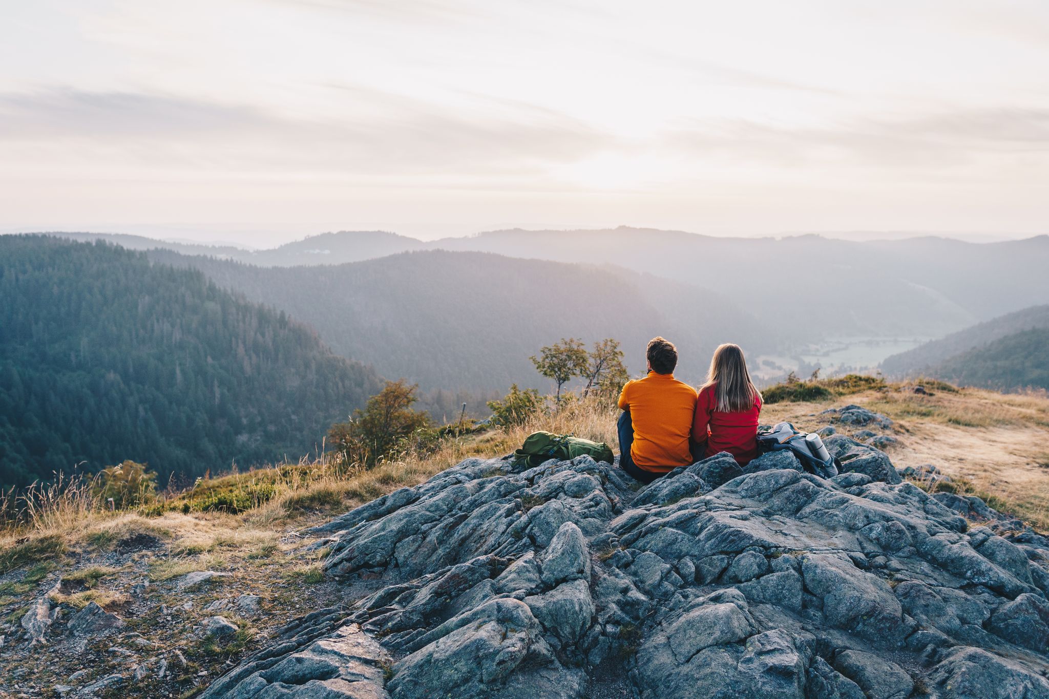
ZweiTälerSteig and other cool hikes in Germany
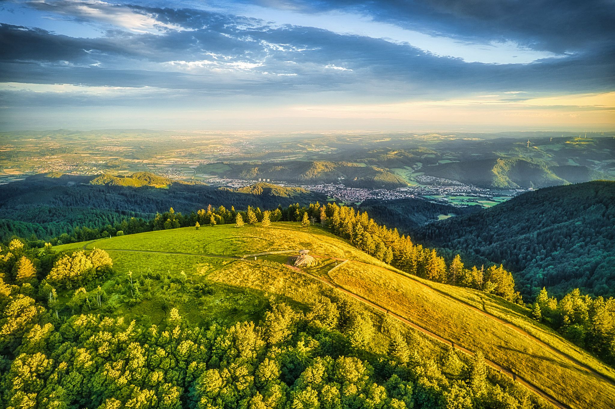
Two valleys, endless views – hiking in the ZweiTälerLand
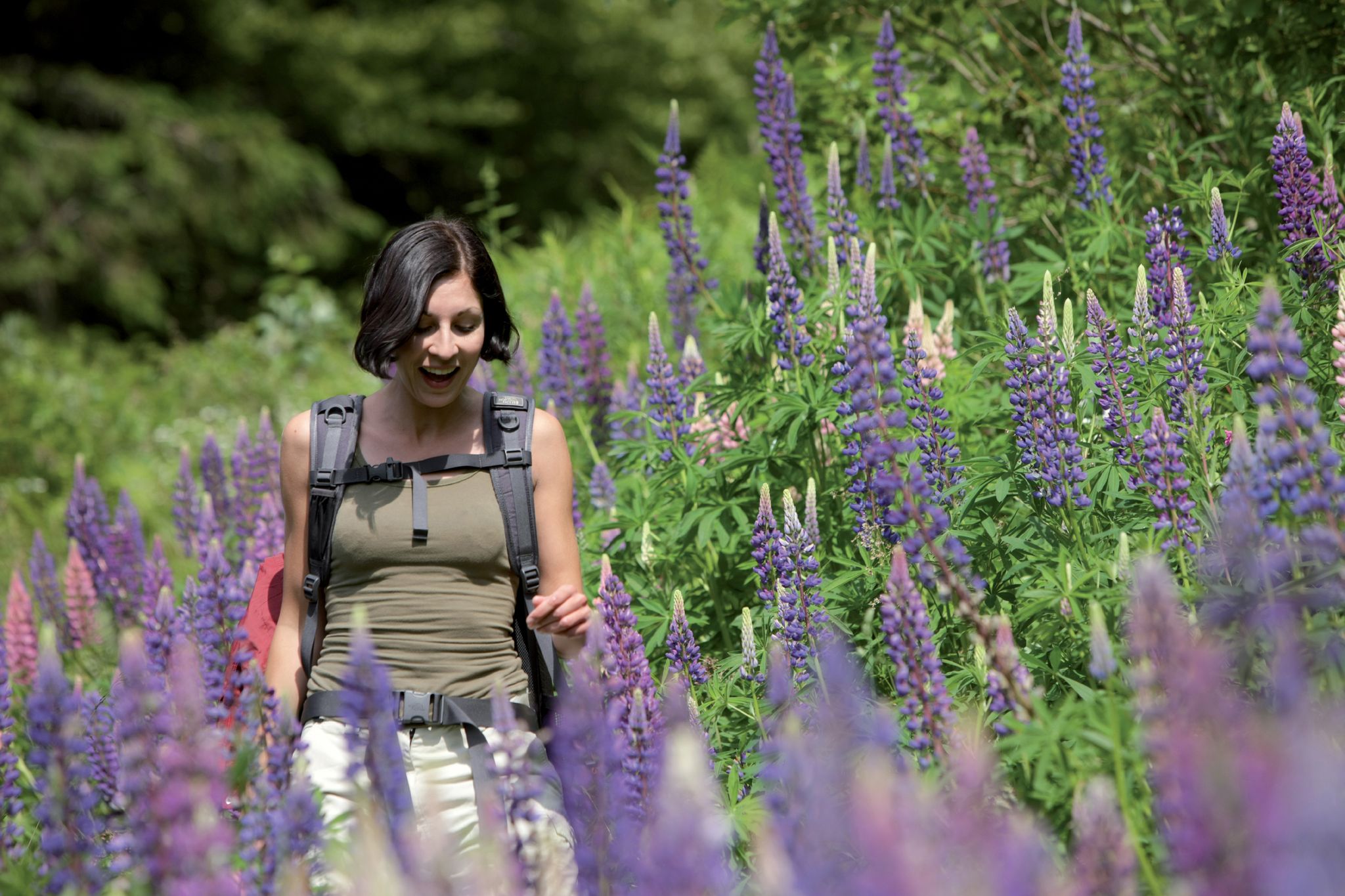
Exploring the Black Forest in Germany – fantastic trails & nature
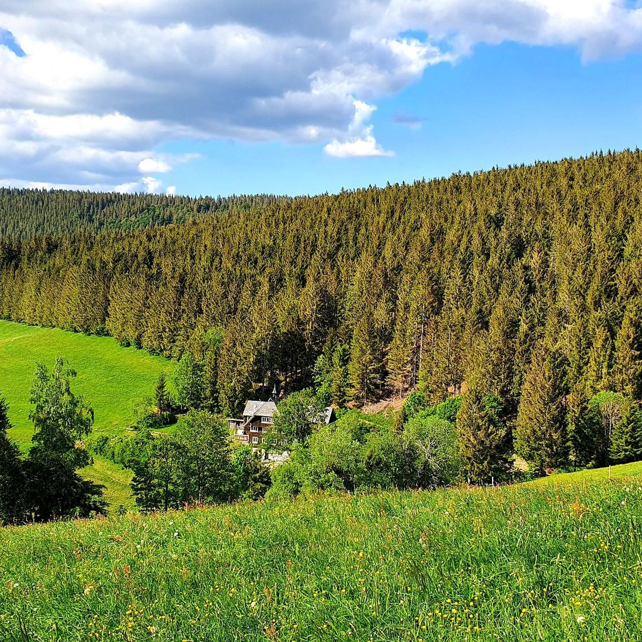
Hiking around Gütenbach
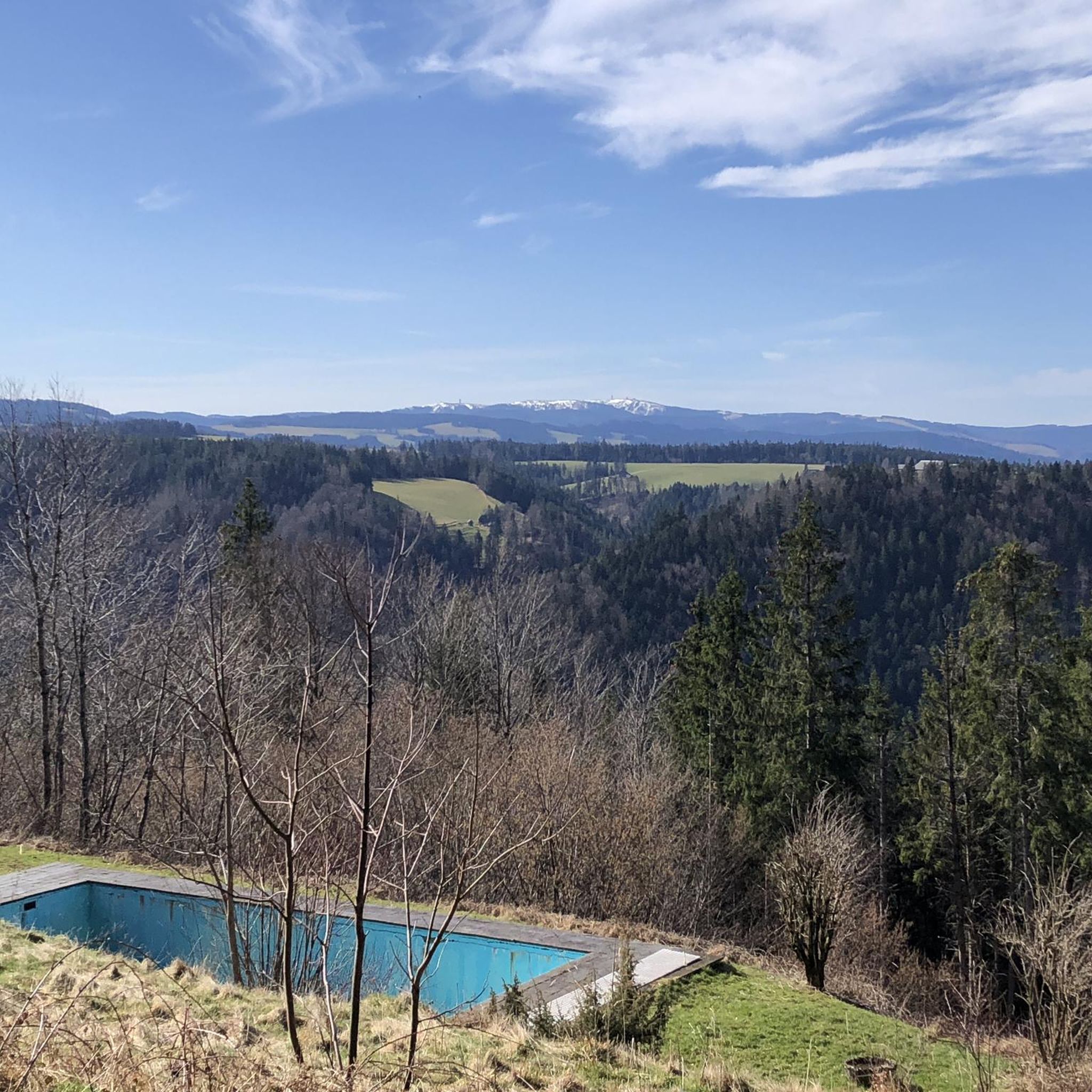
Cycling around Gütenbach
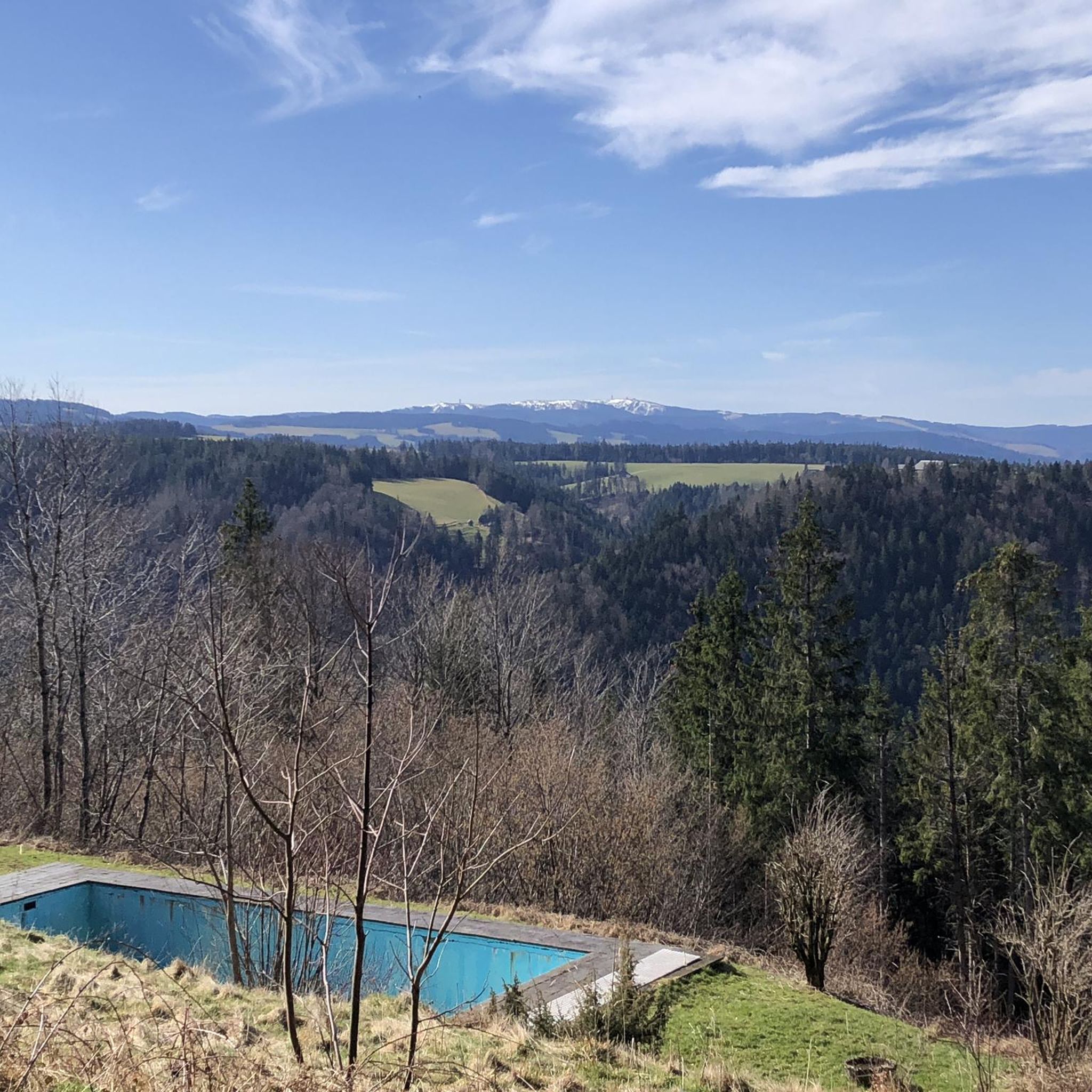
Running Trails around Gütenbach
Gravel biking around Gütenbach
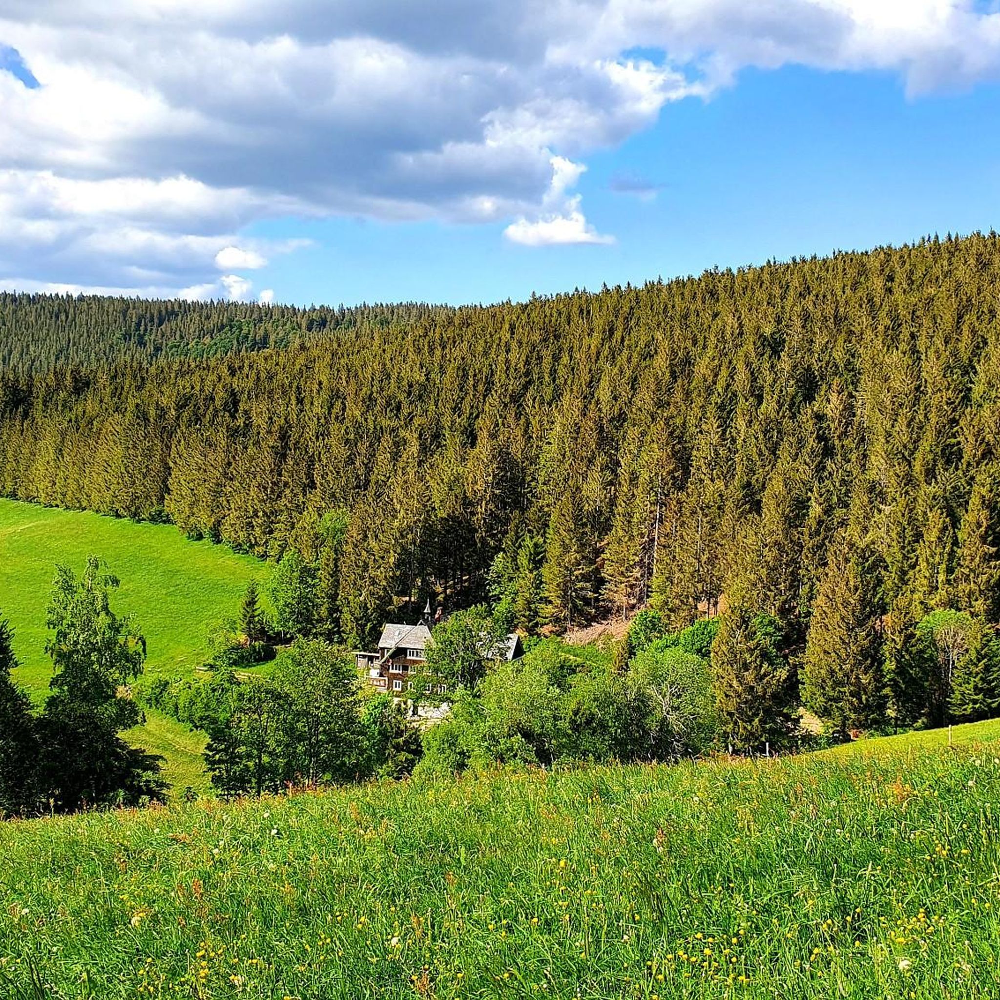
MTB Trails around Gütenbach
Mountain Hikes around Gütenbach
Other adventures around Gütenbach


Tips from the Community

You can safely take water
0
0

The old memories are coming back: I was involved in the construction of the retaining wall on the opposite house. The ramp up there had more than 18%
0
0

This drinking water well is located directly on the L173 in Obersimonswald on the left side going uphill. The water is pleasantly cool even in summer.
0
0

The church tower is an eye-catcher, slowly emerging at the top of the mountain.
1
0

#dasistschwarzwakd
0
0

A beautiful piece of earth
0
0
Frequently Asked Questions
How many road cycling routes are available around Gütenbach?
There are over 80 road cycling routes around Gütenbach, offering a wide array of options for different skill levels. The region's diverse topography, with rolling hills, dense forests, and scenic valleys, provides varied landscapes for cyclists.
What are the difficulty levels of road cycling routes in Gütenbach?
The road cycling routes in Gütenbach cater to various fitness levels. You'll find 11 easy routes, 51 moderate routes, and 25 difficult routes, ensuring there's a suitable challenge for everyone from beginners to experienced cyclists.
Are there any long-distance road cycling routes near Gütenbach?
Yes, the Black Forest region, including areas around Gütenbach, is known for its extensive cycling network. While specific long-distance routes like the 286 km Black Forest Panorama Cycle Route or the 307 km Heidelberg-Black Forest-Lake Constance Cycle Route are broader regional options, you can also find challenging longer loops starting closer to Gütenbach. For instance, the Dreisam Valley – View of St. Märgen Church loop from Furtwangen covers over 96 km with significant elevation gain.
What natural features can I expect to see while road cycling around Gütenbach?
Road cycling around Gütenbach offers stunning natural scenery. You'll encounter rolling hills, dense Black Forest woodlands, and picturesque valleys carved by rivers like the Gutach. The region is at the foot of the Kandelberg, providing a gateway to panoramic views and diverse landscapes.
Are there any scenic viewpoints or landmarks along the road cycling routes?
Absolutely. The area is rich with natural landmarks and scenic spots. You might pass by the impressive Triberg Waterfalls, Germany's highest waterfall, or the secluded Zweribach Waterfalls. The Kandel Summit and Lookout Pavilion also offers breathtaking panoramic views of the Black Forest.
Are there road cycling routes suitable for families or beginners in Gütenbach?
Yes, Gütenbach offers 11 easy road cycling routes that are generally more suitable for families or beginners. These routes typically feature less challenging terrain and elevation, allowing for a more relaxed cycling experience through the scenic valleys of the Black Forest.
What is the best time of year for road cycling in Gütenbach?
The best time for road cycling in Gütenbach is typically from spring through early autumn (April to October). During these months, the weather is generally milder, and the natural beauty of the Black Forest is in full bloom or displaying vibrant autumn colors. Winter cycling is possible but may involve colder temperatures and potential snow or ice on higher elevation routes.
Are there any loop trails for road cycling around Gütenbach?
Many of the road cycling routes around Gütenbach are designed as loops, allowing you to start and end at the same point. For example, the challenging View of the Black Forest Hills – Hexenlochmühle loop from Gütenbach is a popular circular route that offers stunning views and passes the historic Hexenlochmühle.
What do other road cyclists enjoy the most about road cycling in Gütenbach?
The road cycling experience in Gütenbach is highly rated by the komoot community, with an average score of 4.7 stars from over 600 reviews. Cyclists often praise the diverse terrain, the stunning Black Forest scenery, and the well-developed network of routes that cater to all skill levels.
Can I find routes that pass by lakes or reservoirs in the Gütenbach area?
Yes, the region around Gütenbach features several beautiful water bodies. You can find routes that pass near the tranquil Blindensee or the Plattensee Reservoir, offering picturesque views and serene stops along your ride.
Are there routes that explore the Urach Valley or other specific valleys?
Yes, the Black Forest is characterized by its romantic valleys. A notable route that explores a specific valley is the Linachtalsperre Dam – Urach Valley loop from Furtwangen, which takes you through the scenic Urach Valley and past the Linachtalsperre Dam.
What kind of terrain should I expect on road cycling routes in Gütenbach?
The terrain around Gütenbach is quite varied, ranging from demanding climbs through forested hills to relaxed descents through expansive river valleys. While many routes feature well-paved surfaces, some segments may be unpaved, adding to the challenging and diverse experience of cycling in the Black Forest.
Most popular routes around Gütenbach
Most popular attractions around Gütenbach

Get inspired with the komoot mobile app


Explore more
Browse the best Road cycling routes in other regions.
