The best traffic-free bike rides around Gütenbach
4.5
(1084)
6,326
riders
178
rides
No traffic touring cycling routes around Gütenbach traverse the heart of the Black Forest, characterized by deep valleys, dense forests, and gentle mountain meadows. The region features significant elevation changes, with altitudes ranging from 530m to 1,120m, offering both demanding climbs and rewarding descents. Cyclists can explore wild and romantic valleys, including the Kinzig, Murg, and Breg, often alongside rivers and past captivating waterfalls. Over 62% of Gütenbach's territory is covered with forest, providing an immersive natural experience.
Best no…
Last updated: November 11, 2026
3.9
(10)
51
riders
24.8km
01:43
390m
390m
Moderate bike ride. Good fitness required. Mostly paved surfaces.
5.0
(1)
32
riders
23.5km
01:55
440m
440m
Moderate bike ride. Good fitness required. Mostly paved surfaces.

4.6
(5)
20
riders
Moderate bike ride. Good fitness required. Mostly paved surfaces.
5.0
(1)
21
riders
59.2km
04:26
910m
920m
Hard bike ride. Very good fitness required. Mostly paved surfaces.
5.0
(1)
17
riders
Hard bike ride. Very good fitness required. Mostly paved surfaces.
Get access to more routes and recommendations from other explorers.
Already have an account?
Our route recommendations are based on thousands of hikes, rides, and runs completed by other people on komoot.
Start today with a free account
Your next adventure awaits.

Other adventures around Gütenbach


Tips from the Community

a great path on the former railway line
0
0

A Lost Place, the clean-up work has begun. Experience the history, while it is still possible.
0
0

The European watershed at the Martinskapelle near Furtwangen in the Black Forest separates the catchment area of the North Sea (via the Rhine) from that of the Black Sea (via the Danube) at an altitude of around 1,085 meters. Course of the watershed Rhine catchment area (northwest side): Here the Elz originates, which flows via the Rhine ultimately into the North Sea. Danube catchment area (southeast side): Only about 100 meters from the watershed lies the source of the Breg. The Breg is considered the longest headstream of the Danube, whose water flows into the Black Sea. The separation: A ridge only a few meters wide decides here whether a water droplet begins its journey west to the Rhine or east to the Danube.
0
0
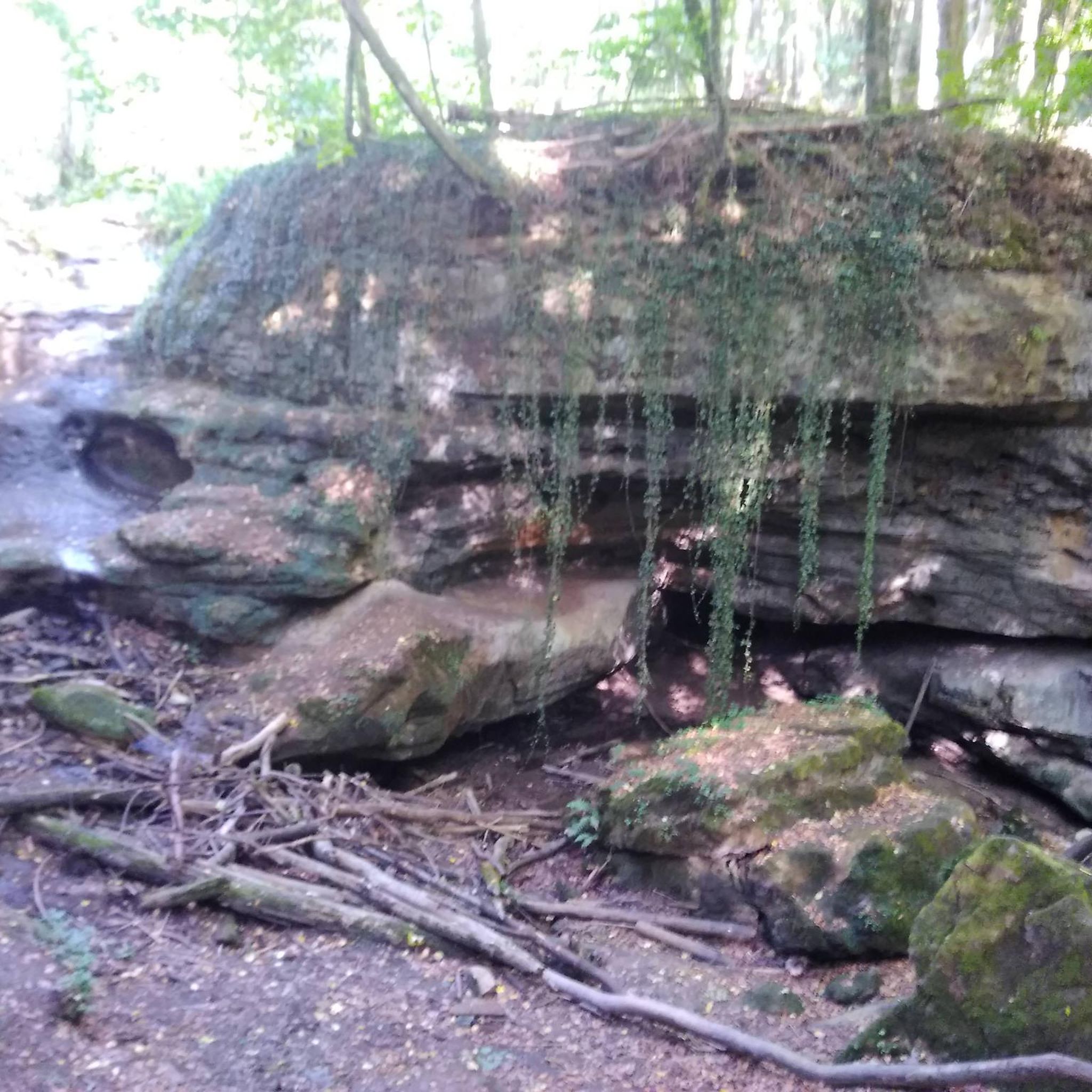
The Günterfelsen are a striking, listed granite rock formation in the middle of the forest near Furtwangen in the Black Forest. They form the largest so-called „Felsenburg“ (rock castle) in the central and southeastern Black Forest. Origin and geology. The huge, up to eight meter high, moss-covered rock blocks are made of Triberg granite. They were formed around 65 million years ago in the Tertiary by the so-called "Wollsackverwitterung" (sack weathering). Water penetrated deep into the ground along rock fissures and rounded the rock underground. During the later ice ages, the weathered, sandy material was eroded, revealing the characteristic rock giants that look like stacked wool sacks. Location and hiking The area has been designated a nature reserve since 1956 and is located on a hill (approx. 1,136 meters) in the Southern Black Forest Nature Park. The rocks are located directly on the well-known 8th stage of the Westweg long-distance hiking trail.
0
0

another highlight of the day
0
0
unfortunately no time for a stop
0
0

Very pleasant, traffic-calmed ascent to Schwärzenbach
1
0

Since its founding in 1946, the company has remained independent and has not been sold to investors to date. Although it has had to reinvent itself repeatedly due to declining product sales and successfully averted impending insolvency in 2009, it remains successful to this day, albeit with significantly fewer employees. More about the company's history: https://www.faller.de/unternehmen-rueckblick
0
0
Frequently Asked Questions
How many no traffic touring cycling routes are available in Gütenbach?
Gütenbach offers a wide selection of touring cycling routes designed to minimize traffic, with over 160 options available. These routes cater to various preferences, from moderate to more challenging rides.
What is the best time of year for traffic-free touring cycling in Gütenbach?
The Black Forest region around Gütenbach is particularly popular for cycling in June and July. During these months, the weather is generally favorable, allowing you to fully enjoy the diverse landscapes and natural features.
What kind of terrain can I expect on these no-traffic touring cycling routes?
You can expect a diverse terrain featuring significant elevation changes, ranging from 530m to 1,120m. While many routes boast mostly paved surfaces, some segments may be unpaved, offering a varied cycling experience through deep valleys, dark forests, and gentle mountain meadows. You'll encounter steep ascents, rewarding descents, and picturesque paths along rivers.
Are there options for different fitness levels on Gütenbach's traffic-free routes?
Yes, the routes around Gütenbach cater to various fitness levels. You'll find moderate rides suitable for good fitness, as well as more challenging bike rides requiring very good fitness, where some bike pushing might be necessary on steeper sections. For example, the Näbbe Duss Farm Café – Martinskapelle Ski Hut loop from Neukirch is a moderate option, while the Black Forest idyll – Breg Valley Cycle Path loop from Gütenbach is considered difficult.
What do other touring cyclists enjoy most about Gütenbach's traffic-free routes?
The komoot community highly rates the touring cycling experience in Gütenbach, with an average score of 4.5 stars from over 960 ratings. Cyclists often praise the idyllic Black Forest scenery, the quiet immersion in nature, and the diverse terrain that offers both challenging climbs and rewarding descents.
Are there any waterfalls or scenic gorges along the traffic-free routes?
Yes, the region is renowned for its captivating water features. You can explore areas with impressive waterfalls and wild river gorges. Notable examples include the Zweribach Waterfalls and the Teichschlucht Waterfalls. The famous Triberg Waterfalls are also within reach and offer well-developed paths.
What other points of interest can I explore while cycling in Gütenbach?
Beyond the natural beauty, you can encounter attractions such as the Wolf Sculpture in Gütenbach and viewpoints like d'Almbäu Franz Hut. The area also features traditional inns for rest and replenishment, and local attractions like the Faller miniature world and a museum of local history and clocks.
Are there family-friendly traffic-free touring cycling routes in Gütenbach?
While many routes involve elevation changes, there are options that can be adapted for families. Look for routes described as 'moderate' or those that follow valley floors, such as sections of the Breg Valley Cycle Path, which offer a more gentle experience away from heavy traffic.
Can I bring my dog on these cycling routes?
Many natural trails and forest paths in the Black Forest are dog-friendly, provided your dog is well-behaved and kept on a leash where required. Always check local regulations and ensure your dog is fit enough for the chosen route, especially on longer or more challenging tours.
Are there circular no-traffic touring routes available?
Yes, many of the touring cycling routes around Gütenbach are designed as loops, allowing you to start and end at the same point without retracing your steps. Examples include the View of Feldberg – Brend Tower loop from Neukirch and the Black Forest idyll – Kalte Herberge Inn loop from VVG der Stadt Furtwangen im Schwarzwald.
How can I access the starting points of these routes using public transport?
Gütenbach is situated in a region with public transport connections, though specific access points for each route may vary. It's advisable to check local bus or train schedules for connections to Gütenbach or nearby towns like Neukirch and Furtwangen, which serve as common starting points for many tours.
Where can I find parking for my car near the traffic-free routes?
Parking is generally available in Gütenbach and the surrounding villages that serve as starting points for cycling routes. Look for designated parking areas in town centers or near popular trailheads. Always check for any parking restrictions or fees.
Are there places to stop for refreshments or accommodation along the way?
Yes, the Black Forest is known for its hospitality. Many routes pass through charming villages or near traditional inns (Gasthäuser) and farm cafés where you can stop for refreshments, a meal, or even overnight accommodation. For example, the Näbbe Duss Farm Café – Martinskapelle Ski Hut loop from Neukirch explicitly mentions a café stop.
Most popular routes around Gütenbach
Most popular attractions around Gütenbach

Get inspired with the komoot mobile app


Explore more
Browse the best Cycling routes in other regions.
