The best road cycling routes around Unterweißenbach
4.4
(60)
1,025
riders
14
rides
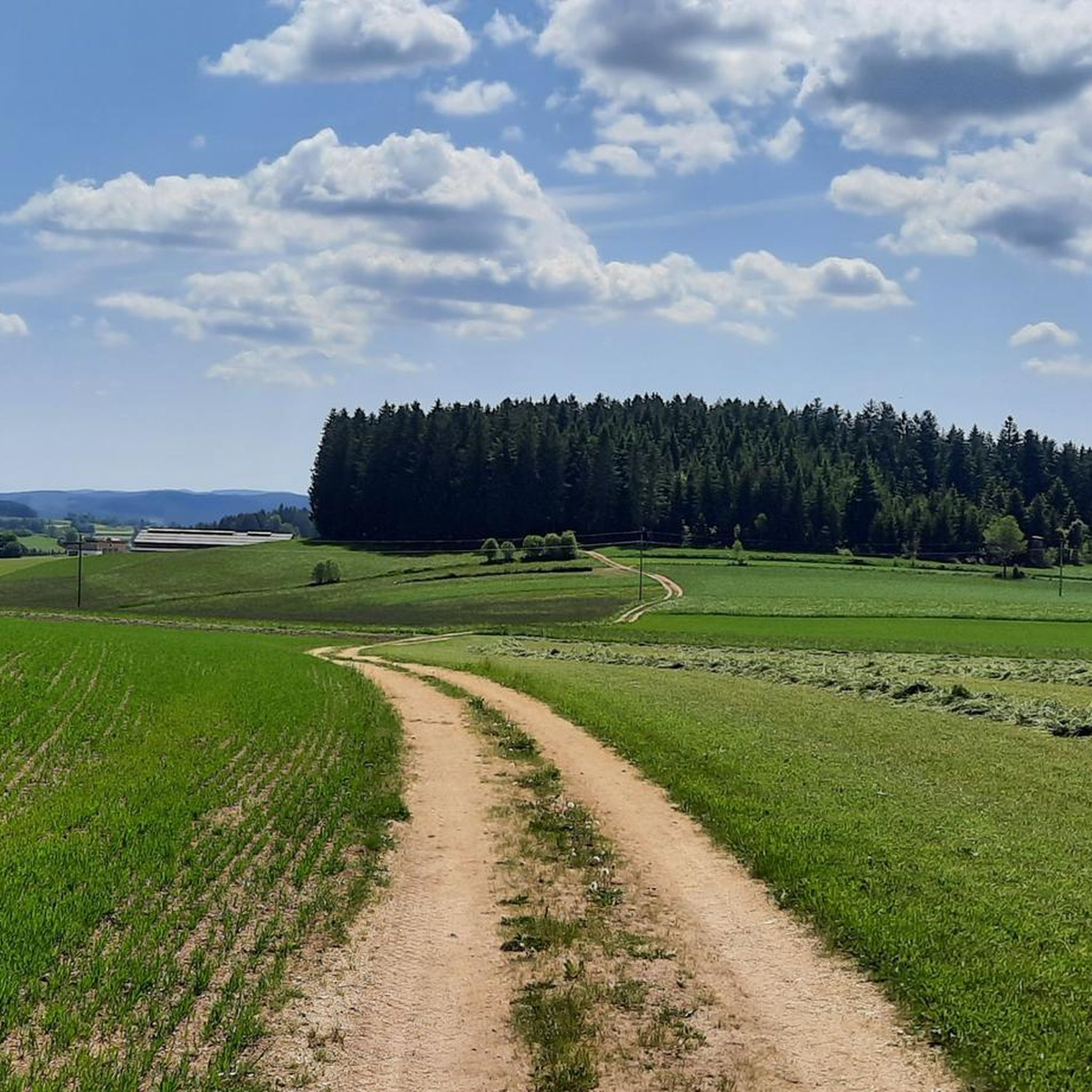
Road cycling around Unterweißenbach offers diverse landscapes within the Mühlviertler Alm region. The area features a network of well-paved roads that traverse a characteristic hilly terrain. This landscape includes rolling hills, forests, and green meadows, providing varied elevation gains for cyclists.
Best road cycling routes around Unterweißenbach
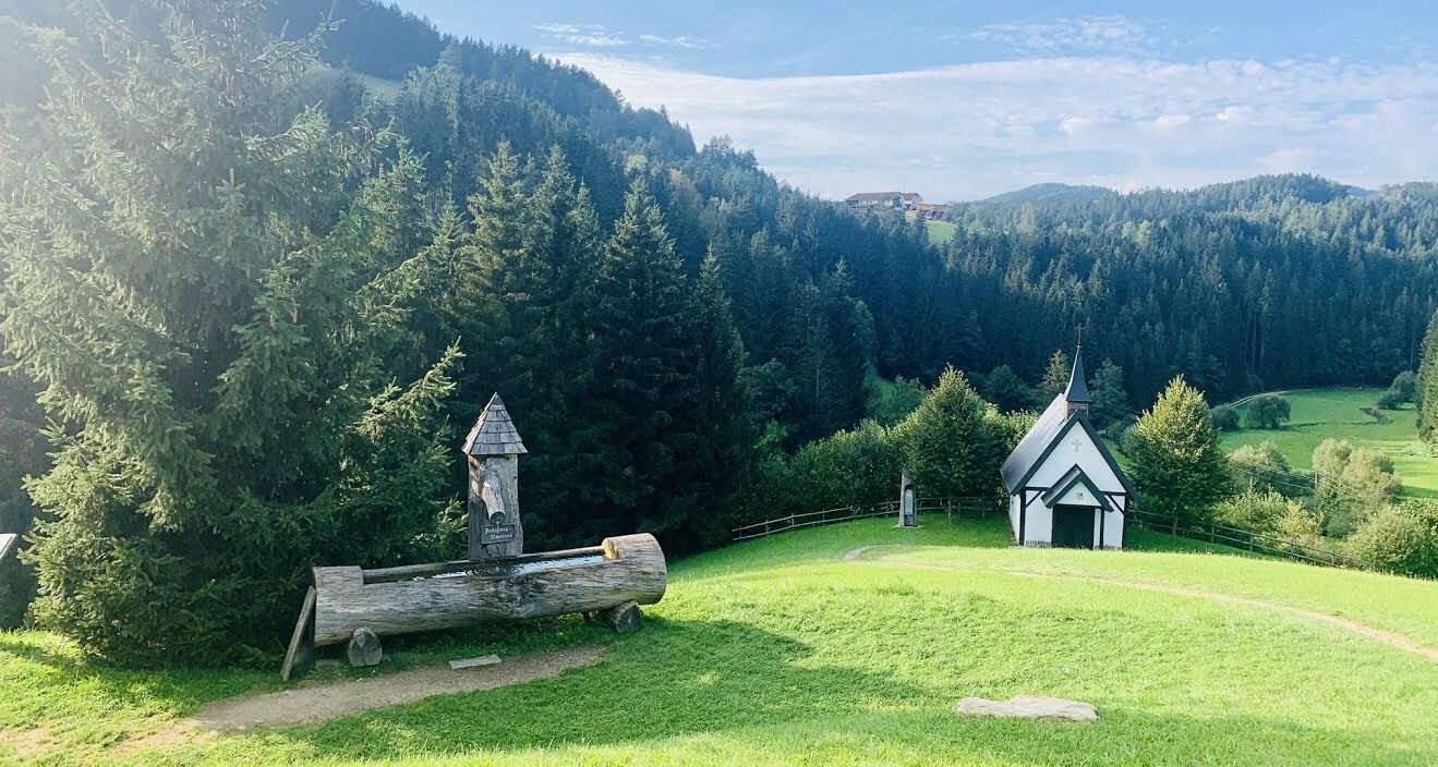
- The most popular road cycling route is Chapel Near Mötlas – Josef Kappacher Chapel loop from Unterweißenbach, a 22.7 miles (36.5 km) trail that takes 2 hours 8 minutes to complete. This…
Last updated: July 29, 2026
16
riders
36.5km
02:08
690m
690m
Moderate road ride. Good fitness required. Mostly well-paved surfaces and easy to ride.
13
riders
67.2km
03:30
1,120m
1,120m
Hard road ride. Very good fitness required. Mostly well-paved surfaces and easy to ride.

Sign up for free
12
riders
41.7km
02:13
760m
760m
Moderate road ride. Good fitness required. Mostly well-paved surfaces and easy to ride.
5.0
(4)
11
riders
Moderate road ride. Good fitness required. Mostly well-paved surfaces and easy to ride.
9
riders
52.8km
02:48
970m
970m
Hard road ride. Very good fitness required. Mostly well-paved surfaces and easy to ride.
Get access to more routes and recommendations from other explorers.
Sign up for free
Already have an account?
Our route recommendations are based on thousands of hikes, rides, and runs completed by other people on komoot.
Start today with a free account
Your next adventure awaits.
Login or Signup
Other adventures around Unterweißenbach

Tips from the Community

Highest mountain pass road in Upper Austria is in Liebenau
0
0

Arbesbach Castle is a top highlight that you should definitely plan a visit to. Even from a distance, you can recognize the so-called "Waldviertel's fang" (Stockzahn des Waldviertels). Once you arrive at the site, 126 steps lead up to the entrance where admission (currently €2.50) is payable in coins or by card. Then it continues inside upwards to the platform, which offers a fantastic view. There is also a circular path around the tower, which however requires some surefootedness and suitable shoes.
0
0

The village was first mentioned in 1246 and was originally owned by the Kuenring line of Weitra-Rappottenstein. In 1282, the estate passed to the Lords of Falkenberg, and in 1291 to Ulrich von Kapelln. In the 14th century, Arbesbach is mentioned as a freehold property. From 1326 to 1348, it was owned by the Lords of Klingenberg, who in 1347 mortgaged "the castle and the house at Arbesbach" to Weikart and Katharina von Winkl. From 1348, Arbesbach was owned by the Lords of Dachsberg, and from 1423 by the Lords of Starhemberg. In 1480, the castle was destroyed by a Bohemian raiding party and was not rebuilt. In 1600, the estate passed to the Lords of Tschernembl, and in 1604 to Georg Fenzl von... Grueb and as early as 1605 to Georg Kaspar von Neuhaus. From 1614 owned by the Lords von Hackelberg, from 1675 to 1862 by the Countess Dietrichstein. Afterwards, it passed to the Herberstein, Geusau, and Baron Holtz families, and from 1877 onwards to the Altzinger family, who still own the estate today and reside in part of the castle complex. Text by G.R., K.Ki.
2
0


A good level of fitness and sturdy footwear are essential. Plenty of drinks and a snack are also required. Pay attention to the trail. No markings.
0
0

The Arbesbach Castle ruins, also known as the "Molar Tooth of the Waldviertel," are located in the market town of Arbesbach. It was built at the end of the 12th century, presumably around 1180, by Hadmar II von Kuenring and served as a border fortress to secure the Kuenring family's holdings in the Waldviertel region. The most striking remaining structure is the pentagonal keep, which sits atop a granite rock and was originally about 25 meters high. In 1480, the castle was destroyed by Bohemian troops and was not rebuilt. Instead, the Arbesbach Manor House was later built in 1593 as the new administrative center. On the ruins of the keep, the so-called Alexanderwarte, an 18-meter-high observation tower offering panoramic views across the Waldviertel, was built in 1884.
1
0

At 1044 m above sea level, the Koblberg Pass is the highest pass in Upper Austria.
0
0

The Arbesbach Bear Sanctuary is a rescue center run by the animal welfare organization FOUR PAWS for bears in need. Here, bears who have been kept in inadequate conditions find a new, animal-friendly home. Nestled in the pristine Waldviertel landscape, the Bear Sanctuary enables a completely new form of animal observation. Three brown bears currently live here on a total of 14,000 square meters. The bears are most active in the morning (feeding) and are no longer visible in winter. They rest in their caves.
0
0
Frequently Asked Questions
How many road cycling routes are available around Unterweißenbach?
There are 14 road cycling routes around Unterweißenbach, offering a diverse range of experiences for cyclists. These routes traverse the characteristic hilly landscape of the Mühlviertler Alm region.
What kind of terrain can I expect when road cycling in Unterweißenbach?
The region around Unterweißenbach is characterized by its rolling hills, forests, and green meadows. You'll find a network of well-paved roads that provide varied elevation gains, from moderate climbs to significant ascents, offering an engaging and scenic experience.
Are there challenging road cycling routes for experienced riders in Unterweißenbach?
Yes, Unterweißenbach is an ideal place for ambitious amateur cyclists and pros. There are 4 difficult routes available, featuring significant climbs and requiring very good fitness. An example is the Arbesbach Castle Ruins – Koblberg Pass (1,044 m) loop from Unterweißenbach, which covers 67.2 km with over 1,100 meters of elevation gain.
Are there any easier or moderate road cycling routes suitable for less experienced cyclists?
While the region is known for its hills, there are 10 moderate routes available. These offer manageable elevation gains through the scenic landscape. A popular moderate option is the Chapel Near Mötlas – Josef Kappacher Chapel loop from Unterweißenbach, a 36.5 km ride with around 690 meters of elevation gain.
What are the typical durations for road cycling routes in Unterweißenbach?
Route durations vary depending on distance and elevation. Moderate routes, like the Unterweißenbach – Liebenau Village loop from Unterweißenbach (41.7 km), typically take around 2 hours and 13 minutes. More challenging routes, such as the Arbesbach Castle Ruins – Koblberg Pass (1,044 m) loop (67.2 km), can take approximately 3 hours and 30 minutes.
What kind of scenic views can I expect on road cycling routes in Unterweißenbach?
Many routes offer 'great panorama' views, where you can enjoy sweeping vistas extending to the Alps from locations like the Kammererkreuz chapel. The hilly Mühlviertel landscape provides a picturesque backdrop of forests, green meadows, and charming rural scenery throughout your ride.
Are there circular road cycling routes available in Unterweißenbach?
Yes, many of the road cycling routes around Unterweißenbach are designed as loops, allowing you to start and end in the same location. Examples include the Chapel Near Mötlas – Josef Kappacher Chapel loop and the Arbesbach Castle Ruins – Koblberg Pass (1,044 m) loop.
What attractions can I see along or near the road cycling routes in Unterweißenbach?
Beyond cycling, the region offers natural and historical attractions. You can explore impressive rock formations like the Gypsy Wall Rock Formation or visit historical sites such as the Prandegg Castle Ruins. There are also several huts and caves to discover.
What do other road cyclists say about the routes in Unterweißenbach?
The road cycling routes in Unterweißenbach are highly rated by the komoot community, with an average score of 4.4 stars from over 50 reviews. Cyclists often praise the well-maintained roads, the varied terrain, and the stunning panoramic views that make for a rewarding experience.
When is the best time of year for road cycling in Unterweißenbach?
The Mühlviertel region is generally best for road cycling during the warmer months, from spring through autumn, when the weather is mild and the roads are clear. While winter offers other activities like cross-country skiing, road cycling is less common due to potential snow and ice.
Are there any places to stop for refreshments or food along the routes?
The region has various huts and alms that can serve as excellent stopping points for refreshments. For example, the Stoaninger Alm and Johannesweg Hut are popular spots where you can take a break and enjoy local hospitality.
Most popular routes around Unterweißenbach
Most popular attractions around Unterweißenbach

Get inspired with the komoot mobile app


Explore more
Browse the best Road cycling routes in other regions.
