The best MTB trails around Unterweißenbach
4.7
(115)
520
riders
32
rides
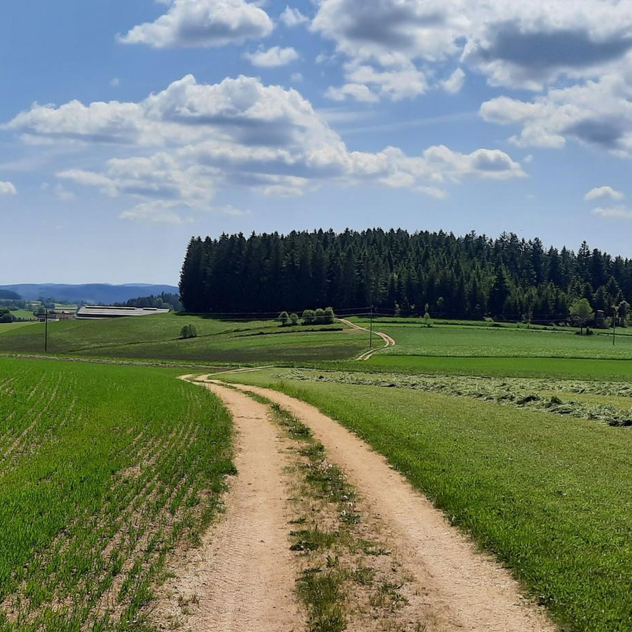
Mountain biking around Unterweißenbach, located in Upper Austria's Mühlviertel region, offers diverse landscapes for riders. The area features gentle hills, dense forests, and wide meadows, characterized by a unique granite landscape north of the Danube. Trails often navigate farm tracks, country lanes, and forest paths, providing varied terrain with both demanding ascents and descents.
Best mountain bike trails around Unterweißenbach
- The most popular mountain bike trail is Rubner Pond in the Tannermoor – Rubenerteich loop from Unterweißenbach, a difficult…
Last updated: July 29, 2026
4.9
(45)
193
riders
61.8km
05:39
1,480m
1,480m
Hard mountain bike ride. Very good fitness required. Advanced riding skills necessary.
5.0
(6)
33
riders
41.8km
03:14
830m
830m
Moderate mountain bike ride. Good fitness required. Suitable for all skill levels.

Sign up for free
4.8
(9)
25
riders
47.1km
04:23
1,300m
1,300m
Hard mountain bike ride. Very good fitness required. Suitable for all skill levels.
4.3
(3)
16
riders
34.2km
02:54
740m
740m
Moderate mountain bike ride. Good fitness required. Suitable for all skill levels.
4.8
(6)
17
riders
26.5km
02:22
670m
670m
Moderate mountain bike ride. Good fitness required. Suitable for all skill levels.
Get access to more routes and recommendations from other explorers.
Sign up for free
Already have an account?
Our route recommendations are based on thousands of hikes, rides, and runs completed by other people on komoot.
Start today with a free account
Your next adventure awaits.
Login or Signup
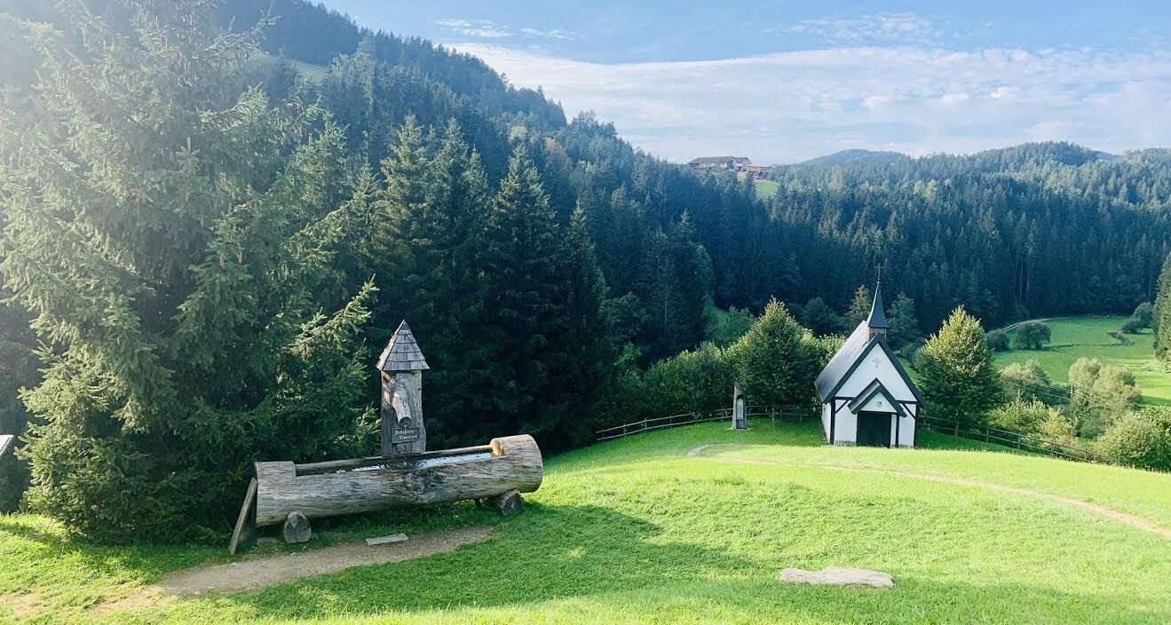
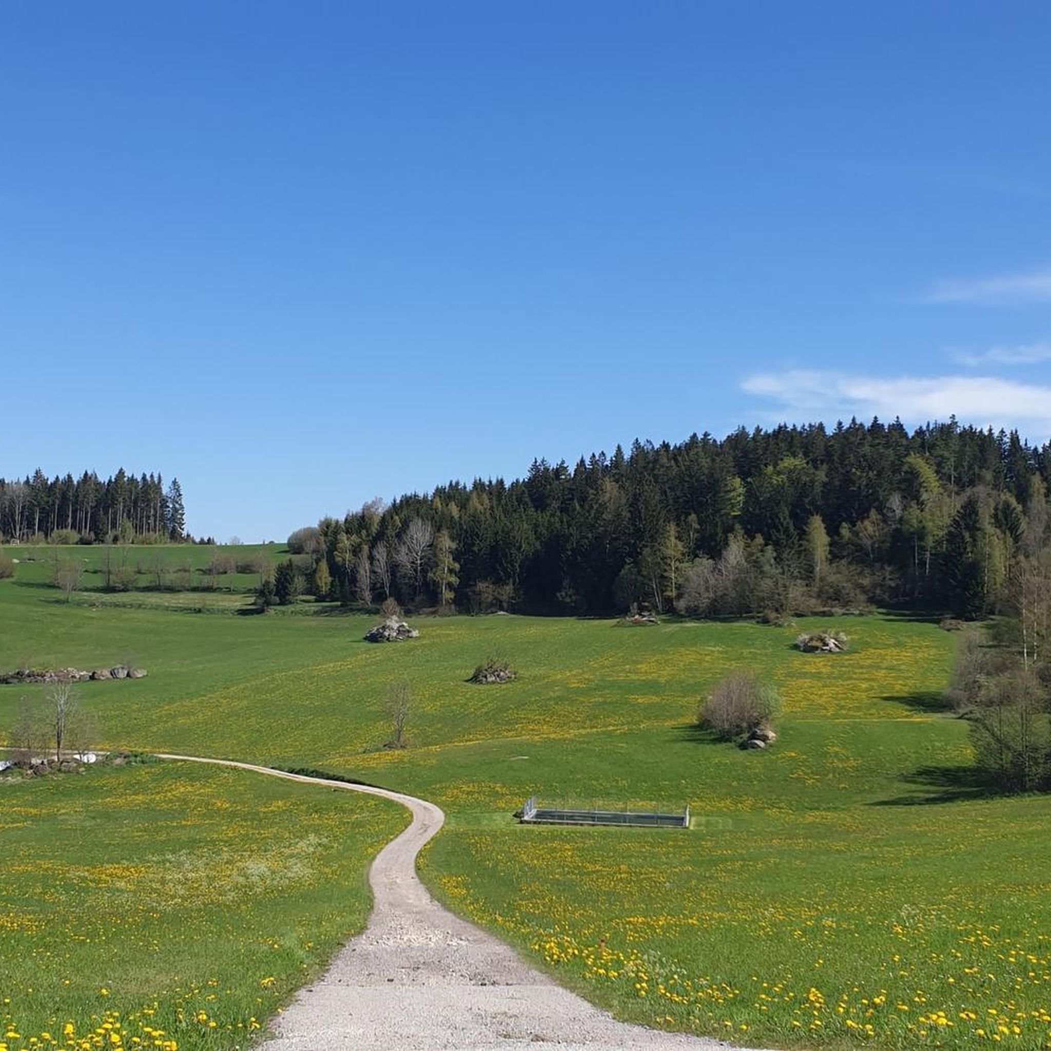
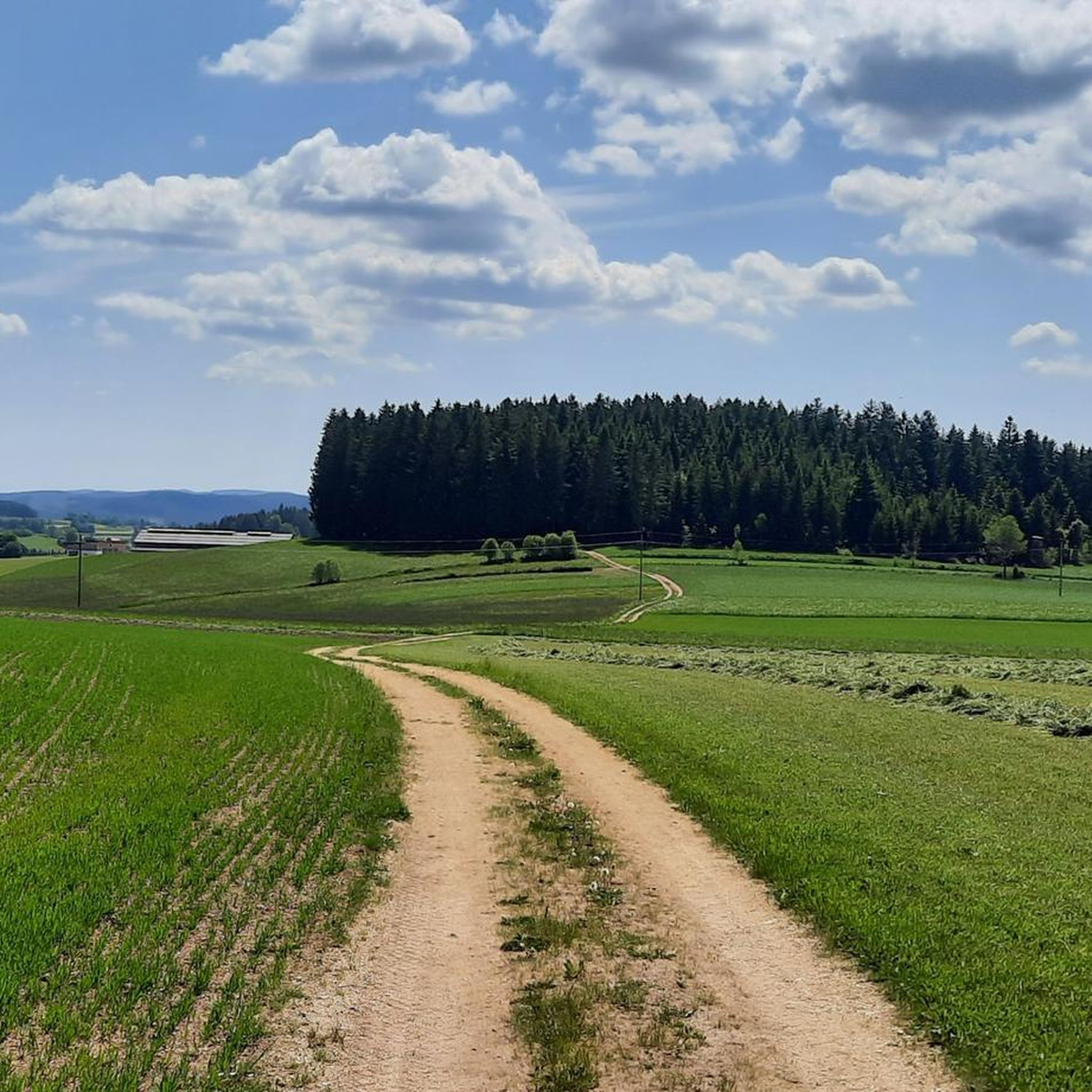
Other adventures around Unterweißenbach

Tips from the Community

The last section of the MTB ascent in the forest gets properly steep, the hiking trail across the meadow is considerably easier, especially for a descent
0
0

Super location, super friendly, simply beautiful
0
0
Endurance and riding technique are an advantage
0
0

They only serve small meals, but they're open throughout the entire opening hours. Right at the back, near the trees under the parking lot, it's pleasantly cool even on hot days 😅
0
0
The photos are obviously from the Moser Alm, but the position here at the intersection is completely wrong 🙄
0
0
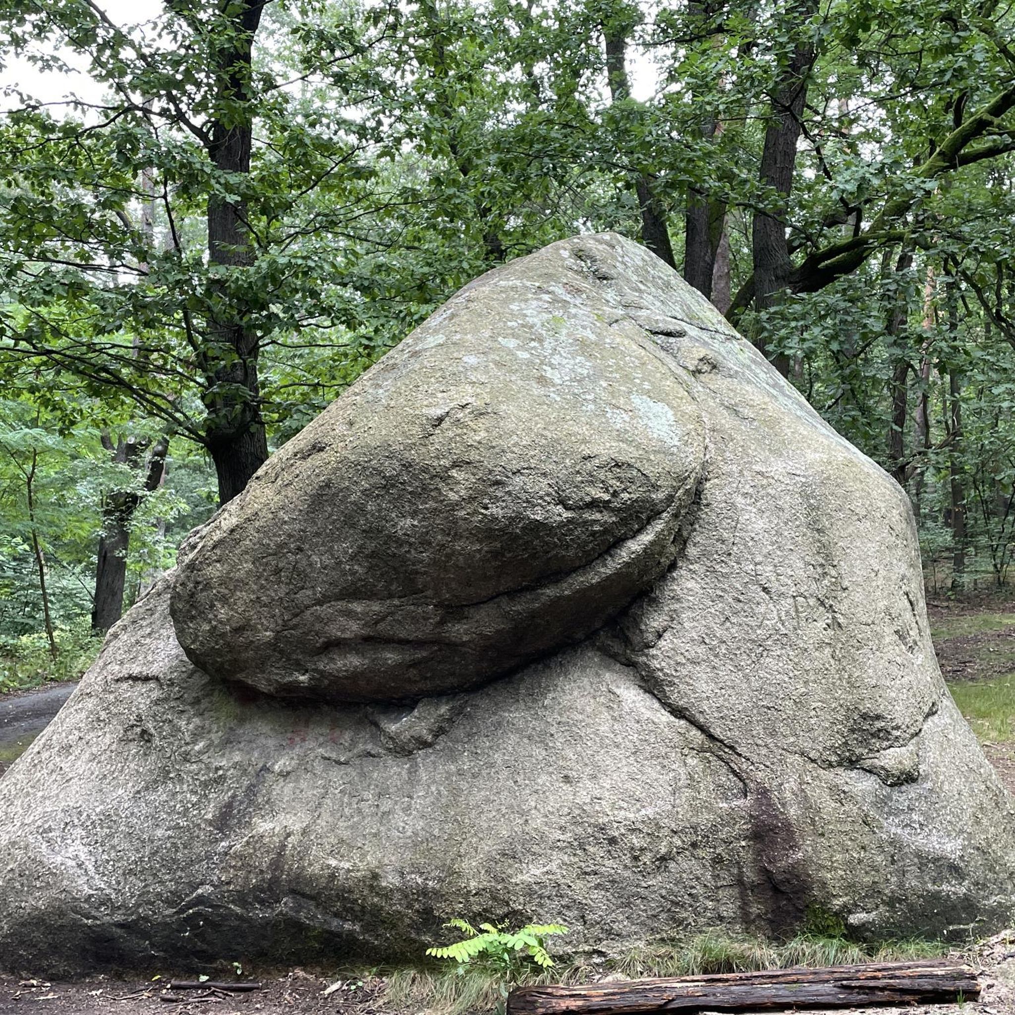
Access is easy up to just below the rock formation, but the last few meters are tackled on foot 😅 The iron staircase between the boulders can be claustrophobic; the wooden staircase was obviously rebuilt in 2025. At the top, there is still a narrow view down to Unterweißenbach and across to Kaltenberg.
0
0

You'll find a coffee machine, chilled drinks, and granola bars here. A very well-maintained rest stop awaits you.
0
0
Frequently Asked Questions
How many mountain bike trails are there around Unterweißenbach?
There are over 30 mountain bike trails directly accessible from Unterweißenbach. The region offers a diverse network, with 24 moderate and 8 difficult routes, catering to various skill levels.
What is the general difficulty level of mountain biking in Unterweißenbach?
Mountain biking in Unterweißenbach ranges from moderate to difficult. The terrain is characterized by gentle hills, dense forests, and a mystical granite landscape, often featuring demanding ascents and descents. You'll find 24 moderate and 8 difficult routes, with some requiring significant elevation gains.
Are there any family-friendly mountain bike trails in Unterweißenbach?
While the region is known for its moderate to difficult trails, many routes utilize farm tracks and country lanes which can be suitable for families with some riding experience. For a moderate option that offers varied terrain, consider the Chapel Near Mötlas – Josef Kappacher Chapel loop from Unterweißenbach, which is 34.2 km long.
What kind of landscapes can I expect to see while mountain biking in Unterweißenbach?
You can expect a diverse range of landscapes, including gentle hills, dense forests, wide meadows, and a unique mystical granite landscape. Trails often wind through unspoiled nature, picturesque villages, and moorland areas like the Tannermoor, offering constantly changing scenery.
Are there any scenic routes that pass by historical landmarks or natural attractions?
Yes, several routes integrate historical landmarks and natural beauty. For instance, the difficult Chapel Near Mötlas – View of Prandegg Castle Ruins loop from Unterweißenbach takes you past cultural sights. You can also explore the Prandegg Castle Ruins and Tavern or the Aist Valley, which are highlights in the region.
What do other mountain bikers say about the trails in Unterweißenbach?
The mountain bike trails in Unterweißenbach are highly rated by the komoot community, with an average score of 4.7 stars from over 100 reviews. Riders often praise the varied terrain, the challenging climbs, and the beautiful natural surroundings, especially the unique granite landscapes and dense forests.
Are there any routes that explore the Tannermoor area?
Yes, the Tannermoor is a notable feature in the region. The difficult Rubner Pond in the Tannermoor – Rubenerteich loop from Unterweißenbach is a challenging 62.2 km path that winds through these unique moorland landscapes, offering an extensive riding experience.
Can I find mountain bike routes that offer significant elevation gain?
Absolutely. The Mühlviertel region is known for its 'hill biking' characteristics, meaning you'll encounter plenty of demanding ascents. For example, the difficult Johannesweg Hut – Lumis Alm loop from Unterweißenbach features over 1200 meters (3,900 feet) of elevation gain.
Are there any circular mountain bike routes available?
Many of the mountain bike trails around Unterweißenbach are designed as loops, allowing you to start and finish in the same location. Examples include the Johannesweg Hut – Lumis Alm loop and the Rubenerteich – Tannermoor loop from Hackstock.
What are some other natural attractions or gorges I can explore near the mountain bike trails?
Beyond the trails, the region offers beautiful natural gorges. You can visit the Aist Valley (Aisttal), Stampfenbach Valley, or Naarntal, which are popular highlights for their scenic beauty.
What is the best time of year for mountain biking in Unterweißenbach?
The Mühlviertel region is generally best enjoyed for mountain biking during the warmer months, from spring through autumn, when trails are dry and weather conditions are favorable. This allows for the best experience across the diverse terrain of farm tracks, country lanes, and forest paths.
Most popular routes around Unterweißenbach
Most popular attractions around Unterweißenbach

Get inspired with the komoot mobile app


Explore more
Browse the best MTB trails in other regions.
