The best hikes from bus stations around Unterweißenbach
4.6
(1746)
10,019
hikers
20
hikes
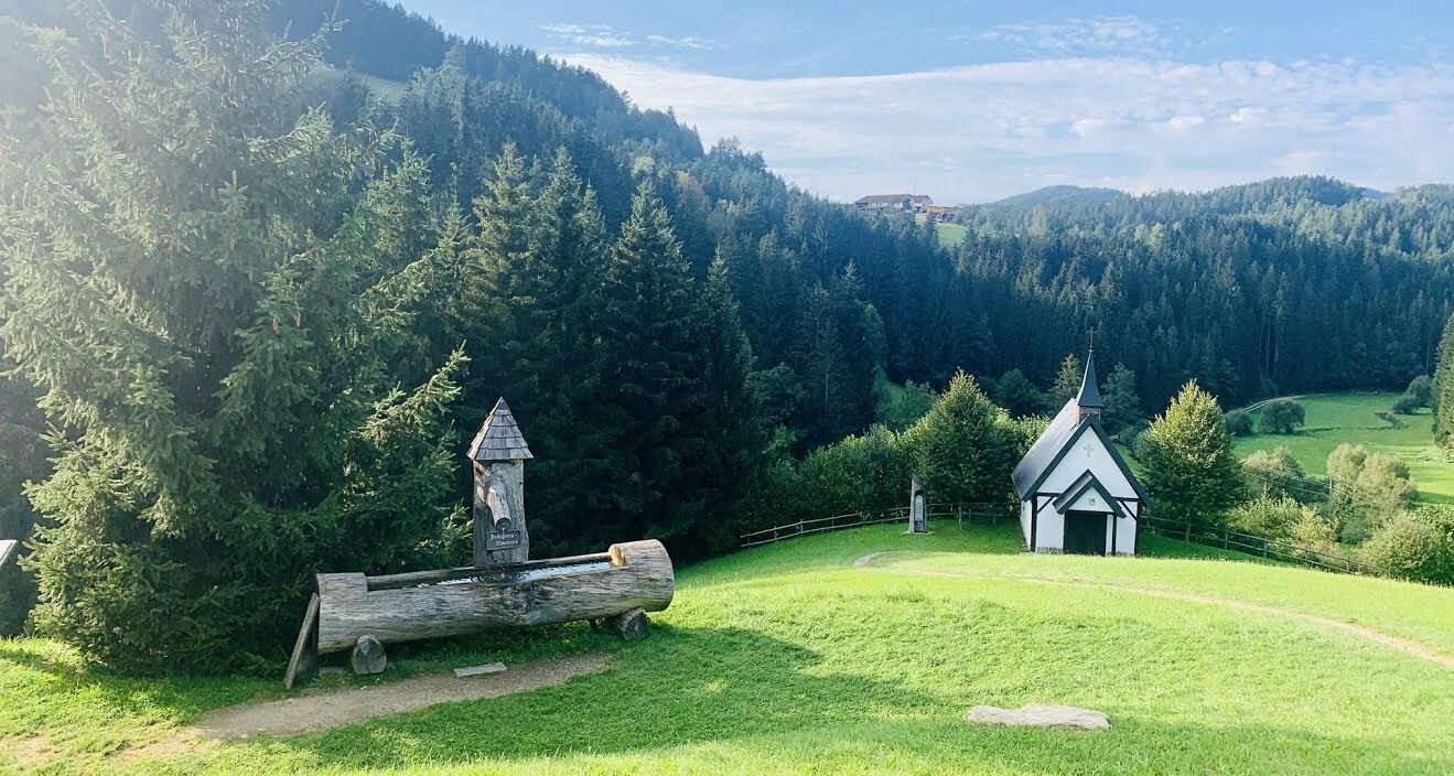
Bus station hiking trails around Unterweißenbach traverse a diverse and picturesque landscape within the Mühlviertler Alm region. The area is characterized by a gently rolling, hilly terrain, featuring extensive forests and lush meadows. Unique granite rock formations, such as the Wackelstein and Wegererstein, are prominent geological features along many paths. The region also includes natural highlights like the Weißenbachtal and the Kleine Naarn river, offering varied scenery for hikers.
Best bus station hiking trails around Unterweißenbach
- The most popular bus…
Last updated: July 24, 2026
4.0
(5)
35
hikers
12.3km
03:38
370m
370m
Moderate hike. Good fitness required. Easily-accessible paths. Suitable for all skill levels.
4.0
(4)
37
hikers
4.61km
01:33
220m
220m
Moderate hike. Great for any fitness level. Mostly accessible paths. Sure-footedness required.

Sign up for free
4.7
(6)
35
hikers
12.8km
04:00
450m
450m
Moderate hike. Good fitness required. Easily-accessible paths. Suitable for all skill levels.
4.7
(3)
7
hikers
8.78km
02:41
310m
300m
Moderate hike. Good fitness required. Easily-accessible paths. Suitable for all skill levels.
4
hikers
Hard hike. Very good fitness required. Easily-accessible paths. Suitable for all skill levels.
Get access to more routes and recommendations from other explorers.
Sign up for free
Already have an account?
Our route recommendations are based on thousands of hikes, rides, and runs completed by other people on komoot.
Start today with a free account
Your next adventure awaits.
Login or Signup
Popular around Unterweißenbach
Other adventures around Unterweißenbach

Tips from the Community

Access is easy up to just below the rock formation, but the last few meters are tackled on foot 😅 The iron staircase between the boulders can be claustrophobic; the wooden staircase was obviously rebuilt in 2025. At the top, there is still a narrow view down to Unterweißenbach and across to Kaltenberg.
0
0

You can climb the Kanzelberg on beautiful iron ladders, but the view is just forest and more forest.
0
0
You'll find a coffee machine, chilled drinks, and granola bars here. A very well-maintained rest stop awaits you.
0
0

Beautiful rock formations, but not so easy to climb.
0
0
Over 200 year old beech tree
0
0
Difficult to access, you have to climb on the stone without support
0
0

It's worth going up here😉⚜️
1
1
Frequently Asked Questions
How many bus-accessible hiking trails are there around Unterweißenbach?
There are over 20 bus-accessible hiking trails around Unterweißenbach, offering a wide range of options for exploring the beautiful Mühlviertler Alm region without needing a car.
Are there any easy bus-accessible hikes suitable for beginners or families?
Yes, there are several easy routes. For a pleasant, shorter walk, consider the Unterweißenbach – Over 200-Year-Old Beech Tree loop from Unterweißenbach. This moderate 4.6 km trail is a great option for families looking for a less strenuous outing.
What kind of natural features can I expect to see on these trails?
The trails around Unterweißenbach are known for their diverse natural beauty, including rolling hills, dense forests, and lush meadows. A unique highlight is the presence of impressive granite rock formations. You can encounter features like the Herrgottssitz Rock Formation and the Wegererstein, which add a distinctive geological interest to your hike.
Are there any circular routes accessible by bus from Unterweißenbach?
Absolutely. Many of the bus-accessible trails are circular, allowing you to return to your starting point without retracing your steps. A great example is the Chapel Near Mötlas – Wegererstein loop from Unterweißenbach, which offers a moderate 12.3 km journey through varied landscapes.
What do other hikers enjoy most about the bus-accessible trails in Unterweißenbach?
The komoot community highly rates the trails around Unterweißenbach, with an average score of 4.6 stars from over 1,500 ratings. Hikers often praise the well-marked paths, the tranquility of the forests, and the stunning panoramic views across the hilly Mühlviertel landscape.
Can I find trails that lead to scenic viewpoints or summit crosses?
Yes, the region offers trails with rewarding viewpoints. The Summit Cross at Königswiesen – Friendship Tunnel loop from Unterweißenbach is a moderate 16.2 km route that takes you to the Summit Cross at Königswiesen, offering expansive views.
Are there any longer, more challenging bus-accessible hikes?
For those seeking a longer challenge, the Landshut Chapel – Unterweißenbach loop from Unterweißenbach is a moderate 12.8 km hike with significant elevation gain, providing a good workout while exploring the local area.
Are there any trails that pass by interesting historical or cultural sites?
While the focus is on natural beauty, some routes offer glimpses of local heritage. The region is part of the larger Johannesweg pilgrimage route, and you might encounter smaller chapels or historical markers. The Wegererstein – Friendship Tunnel loop from Unterweißenbach, for instance, combines natural rock formations with local points of interest.
What is the best time of year to hike these bus-accessible trails?
The trails are enjoyable throughout much of the year. Spring and autumn offer pleasant temperatures and vibrant colors, while summer provides lush greenery. Even in winter, some trails can be suitable for snowshoeing or winter hiking, depending on conditions, though it's always best to check local reports.
Are there any gorges or valleys to explore on these hikes?
Yes, the region features several picturesque valleys. You can explore areas like the Weißenbachtal and the Kleine Naarn river. Nearby, you'll find highlights such as the Naarntal and the Stampfenbach Valley, which offer varied terrain and geological points of interest.
Most popular routes around Unterweißenbach
Most popular attractions around Unterweißenbach

Get inspired with the komoot mobile app


Explore more
Browse the best Hikes in other regions.
