The best walks and hikes around Bardonecchia
4.5
(1739)
8,843
hikers
201
hikes
Hiking around Bardonecchia offers diverse landscapes in the Piedmont Alps, characterized by four distinct valleys—Valle Stretta, Valle della Rho, Valle del Frejus, and Vallone di Rochemolles. The region features extensive larch and pine forests, numerous alpine lakes like Lake Rochemolles and Green Lake, and high mountain terrain with peaks exceeding 3,000 meters. Trails range from gentle paths along historical routes to challenging ascents, providing varied experiences for hikers.
Best hiking trails around Bardonecchia
- The most popular hiking route is Lake…
Last updated: September 26, 2026
4.5
(83)
315
hikers
14.6km
04:39
520m
520m
Moderate hike. Good fitness required. Mostly accessible paths. Sure-footedness required.
4.6
(57)
220
hikers
12.1km
03:44
430m
430m
Moderate hike. Good fitness required. Easily-accessible paths. Suitable for all skill levels.

4.8
(52)
227
hikers
16.8km
06:52
1,330m
1,330m
Hard hike. Very good fitness required. Mostly accessible paths. Sure-footedness required.
4.5
(48)
196
hikers
12.0km
03:38
320m
320m
Moderate hike. Good fitness required. Mostly accessible paths. Sure-footedness required.
4.4
(37)
103
hikers
6.42km
02:08
300m
300m
Moderate hike. Good fitness required. Mostly accessible paths. Sure-footedness required.
Get access to more routes and recommendations from other explorers.
Already have an account?
Our route recommendations are based on thousands of hikes, rides, and runs completed by other people on komoot.
Start today with a free account
Your next adventure awaits.
Popular around Bardonecchia
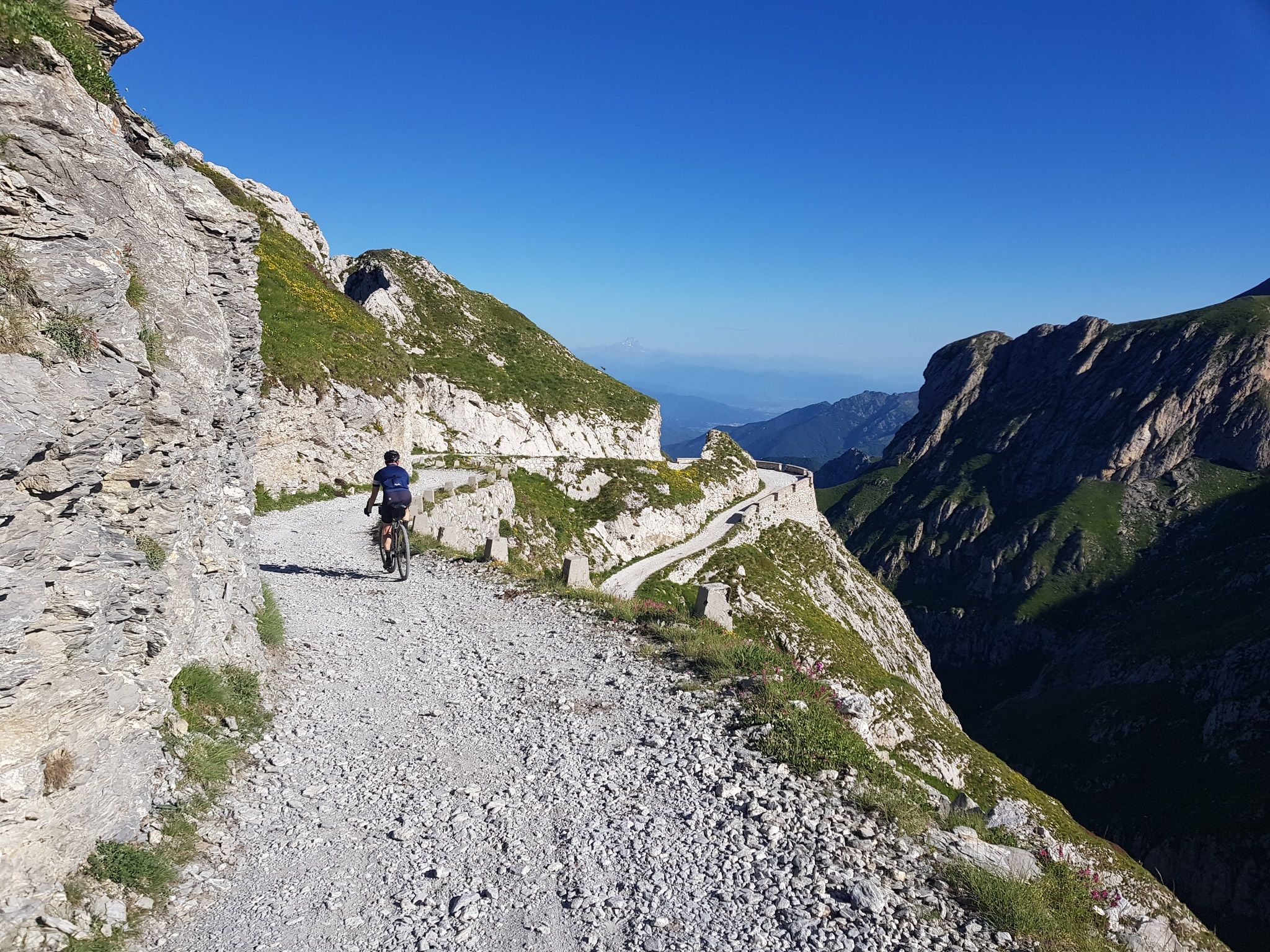
Mediterranean passes and gentle hills — cycling in Piedmont
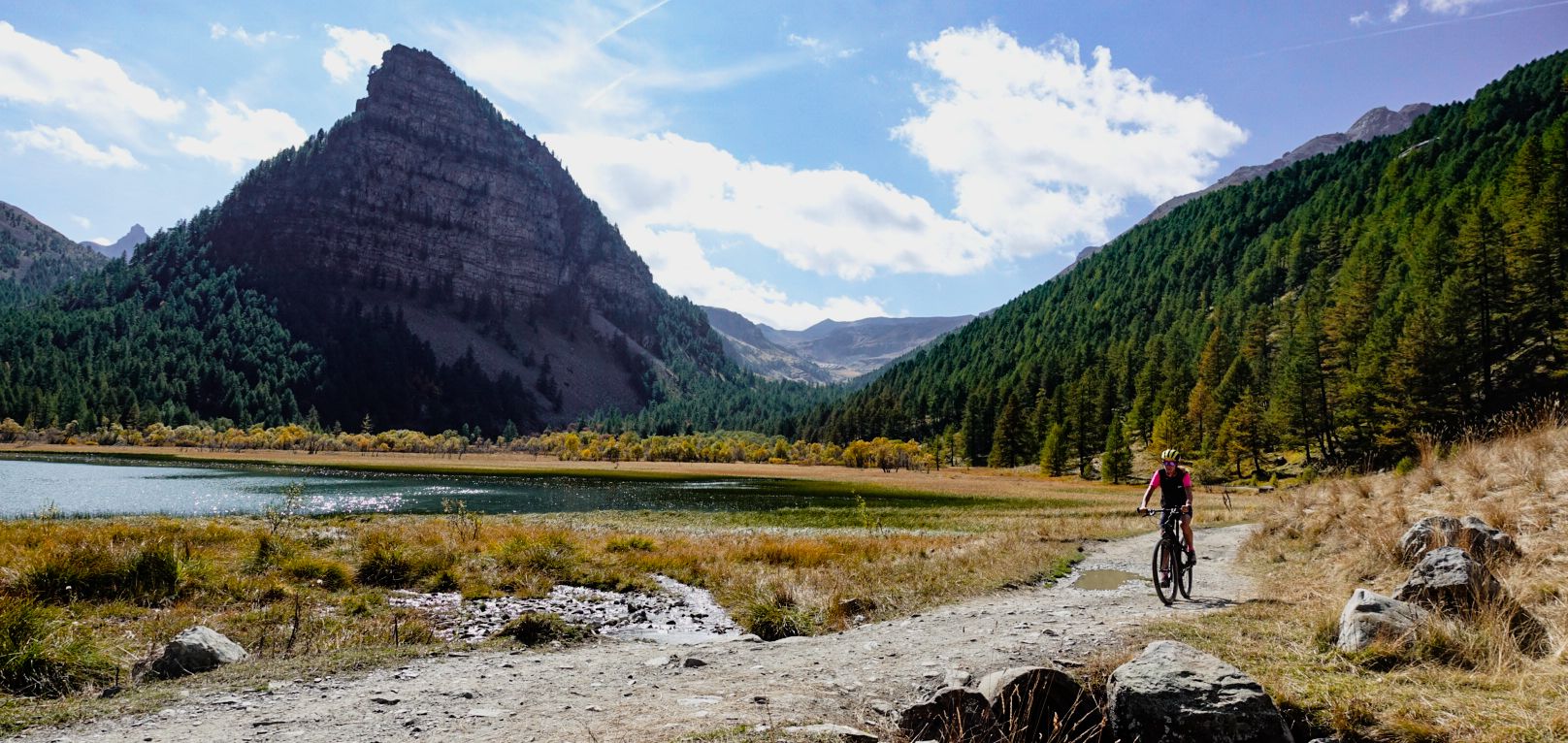
Military roads, forts and tunnels – gravel in the Southern Alps
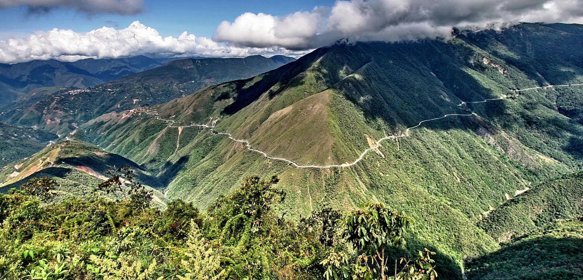
The world's most adventurous cycling passes
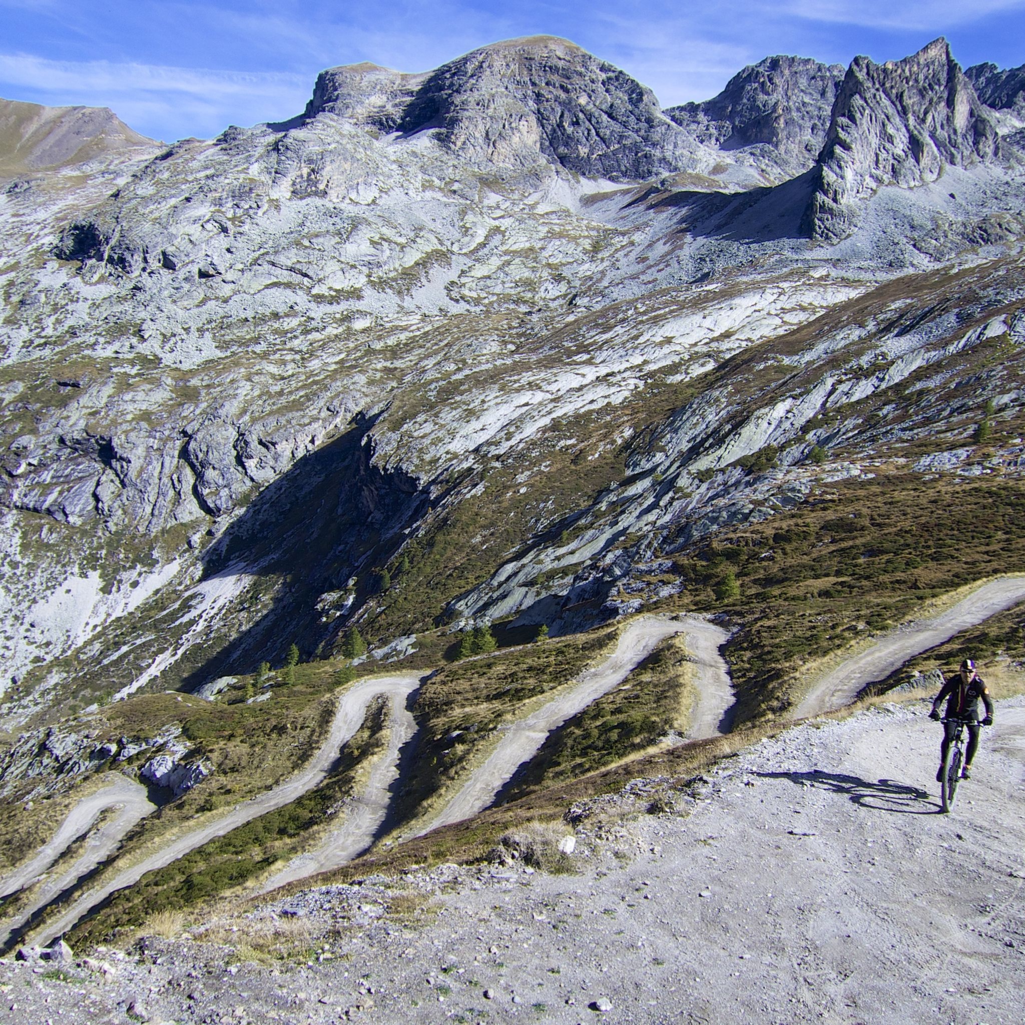
MTB Trails around Bardonecchia
Cycling around Bardonecchia
Road Cycling Routes around Bardonecchia

Gravel biking around Bardonecchia
Running Trails around Bardonecchia

Mountain Hikes around Bardonecchia
Other adventures around Bardonecchia


Tips from the Community

The ex-votos erected by the mountain people to remember particular events
0
0
The ex-votos erected by the mountain people to remember particular events
0
0
Unfortunately the lake is not there because the dam has been emptied for maintenance work
0
0
Unfortunately the lake is not there because the dam has been emptied for maintenance work
0
0
Unfortunately we found the dam emptied due to maintenance work
0
0

Pleasant walk of about 2 hours from Bardonecchia to Melezet via Pian Del Sole
0
0

The fortification was erected between 1885 and 1894, with the aim of monitoring the outlet of the Frejus railway tunnel in anticipation of a possible French attack. During the First World War, its artillery was requisitioned and moved to the Austro-Hungarian front, while on the eve of the Second World War, it was incorporated into the fortified system of the Alpine Wall. It was then requisitioned by the Germans and completely dismantled after the end of hostilities. It remained abandoned for a long time, until, starting in 1995, a recovery project was initiated, still partly ongoing, equipping the structure with a museum and a guided tour. The road that reaches it from the valley floor is yet another demonstration of the construction skills of military engineering: the dirt road gains altitude with gentle hairpin bends, bordered by dry stone walls that are still perfectly in place. Near Grange Bersac, it passes a charming little church, shortly after the route leaves the woods and ends in wide meadows near another beautiful little church, dedicated to St. Anne. From here, the dirt road splits: straight ahead leads to Pian del Sole and the Bardonecchia MTB circuit, while climbing towards Colomion, turning right, a final short climb reaches the fort. The view of Guglia Rossa and the Re Magi (Three Wise Men) group, which dominate the Bardonecchia basin, is magnificent.
0
0

A pleasant area to relax or start your descents on the DH slopes (the blue one is also doable with a normal MTB as long as you have a basic command of the technique and riding skills)
0
0
Frequently Asked Questions
How many hiking trails are available around Bardonecchia?
Bardonecchia offers a vast network of over 200 hiking trails, catering to various skill levels. You'll find everything from easy strolls to challenging high-altitude ascents, ensuring a suitable option for every hiker.
What kind of landscapes can I expect to see while hiking in Bardonecchia?
Hiking in Bardonecchia immerses you in the diverse landscapes of the Piedmont Alps. You'll traverse four distinct valleys—Valle Stretta, Valle della Rho, Valle del Frejus, and Vallone di Rochemolles—each offering unique scenery. Expect extensive larch and pine forests, picturesque alpine lakes like Lake Rochemolles and Green Lake, and dramatic high mountain terrain with peaks exceeding 3,000 meters.
What do other hikers say about the trails in Bardonecchia?
The trails in Bardonecchia are highly regarded by the komoot community, boasting an average rating of 4.6 stars from over 1,300 reviews. More than 7,500 hikers have explored the area, often praising the varied terrain, stunning alpine views, and the well-maintained paths that lead to beautiful natural features.
Are there easy hiking trails suitable for beginners or families in Bardonecchia?
Yes, Bardonecchia has plenty of easy hiking trails perfect for beginners or families. There are over 40 easy routes available, many of which follow historical paths or wind through peaceful forests. For example, the historic route along the Decauville Railway offers a flat, accessible walk. The Paradiso – loop tour in the province of Torino is a moderate option that is not overly strenuous.
Where can I find more challenging hikes in Bardonecchia?
For experienced hikers seeking a challenge, Bardonecchia offers over 50 difficult routes that ascend to high mountain terrain and summits. Trails like the Climb to Poggio Tre Croci and Punta Quattro Sorelle from Bardonecchia lead through rugged landscapes. You can also aim for peaks like Mount Thabor (3,178 meters) or explore the area around Colle del Sommeiller, which offers spectacular views of the Cottian Alps and requires proper equipment.
Are there any circular hiking routes in Bardonecchia?
Yes, Bardonecchia features several excellent circular hiking routes. A popular option is the Lake Rochemolles and Scarfiotti Refuge - Ring Tour, which takes you around the scenic Lake Rochemolles and past the Rifugio Scarfiotti. Another great loop is the Forte Bramafam and Pian del Sole Loop, offering historical insights and pleasant views.
Can I find hikes that feature waterfalls in Bardonecchia?
Absolutely! The Bardonecchia area is home to beautiful waterfalls. The Frejus Falls are an accessible and scenic attraction, offering a walk through an impressive coniferous forest. You can also discover the Waterfalls Behind Rifugio Scarfiotti and the Fontcouverte Waterfall, which are popular spots for hikers.
Are there any beautiful alpine lakes accessible by hiking in Bardonecchia?
Bardonecchia is renowned for its stunning alpine lakes. The Green Lake (Lago Verde) is particularly notable for its exceptional color and easy accessibility. Lake Rochemolles is another beautiful destination, a large natural pool with an emerald green hue, accessible via various hiking trails. You can also find Lake Chavillon and Lake Bellety in the Valle Stretta area.
What is the best time of year to go hiking in Bardonecchia?
The best time for hiking in Bardonecchia is typically from late spring to early autumn (June to September) when the weather is mild, and the trails are clear of snow. During these months, you can enjoy lush alpine meadows, vibrant forests, and accessible high-altitude routes. Autumn also offers spectacular colors in the larch and pine forests.
Are there any historical sites or landmarks to see along the hiking trails?
Yes, Bardonecchia's trails often lead past fascinating historical sites. You can explore ancient military roads and remnants of World War II fortifications, offering a glimpse into the region's past. The Forte Bramafam is a notable historical landmark that can be included in a hike.
Are there mountain refuges available for rest or food along the routes?
Yes, several mountain refuges are strategically located along many hiking routes in Bardonecchia. The Rifugio Scarfiotti is a well-known stop, offering a convenient place for rest and traditional Piedmontese cuisine. Other notable refuges include the Refuge de la Chardouse and Rifugio Re Magi in the protected area of Valle Stretta.
Can I bring my dog on the hiking trails in Bardonecchia?
Many trails in Bardonecchia are dog-friendly, allowing you to enjoy the alpine scenery with your canine companion. However, it's always recommended to keep your dog on a leash, especially in protected areas like the Gran Bosco Nature Park, to protect wildlife and ensure a pleasant experience for all hikers. Always check specific trail regulations before you go.
Are there options for winter hiking or snowshoeing in Bardonecchia?
Beyond summer hiking, Bardonecchia is a popular destination for winter activities. Many trails are suitable for snowshoeing, winding through snow-covered pine and fir forests, offering a unique winter experience. Always check current snow conditions and avalanche warnings before heading out in winter.
Most popular routes around Bardonecchia
Most popular attractions around Bardonecchia

Get inspired with the komoot mobile app


Explore more
Browse the best Hikes in other regions.
