The best cycling routes around Bardonecchia
4.6
(94)
2,440
riders
29
rides
Touring cycling routes around Bardonecchia are situated in the upper Susa Valley, characterized by high peaks and diverse terrain. The region features a network of routes traversing paved roads, unpaved military paths, and forested areas. Cyclists can explore various valleys, including Rochemolles, Stretta, Rho, and Frejus, which offer a mix of natural environments and historical sites. The landscape includes dense pine, fir, and larch forests, particularly within the Gran Bosco Nature Park.
Best touring cycling routes around Bardonecchia
- The most…
Last updated: October 4, 2026
4.9
(25)
844
riders
57.5km
03:57
980m
980m
Hard bike ride. Very good fitness required. Mostly paved surfaces. Suitable for all skill levels.
5.0
(3)
206
riders
134km
09:19
2,520m
2,520m
Hard bike ride. Very good fitness required. Mostly paved surfaces. Suitable for all skill levels.

4.9
(12)
176
riders
33.8km
02:41
920m
920m
Hard bike ride. Very good fitness required. Mostly paved surfaces. Suitable for all skill levels.
4.3
(4)
121
riders
37.7km
04:16
1,630m
1,630m
Hard bike ride. Very good fitness required. Mostly paved surfaces. Suitable for all skill levels.
5.0
(5)
95
riders
27.3km
02:34
630m
630m
Hard bike ride. Very good fitness required. Mostly paved surfaces. Suitable for all skill levels.
Get access to more routes and recommendations from other explorers.
Already have an account?
Our route recommendations are based on thousands of hikes, rides, and runs completed by other people on komoot.
Start today with a free account
Your next adventure awaits.
Popular around Bardonecchia
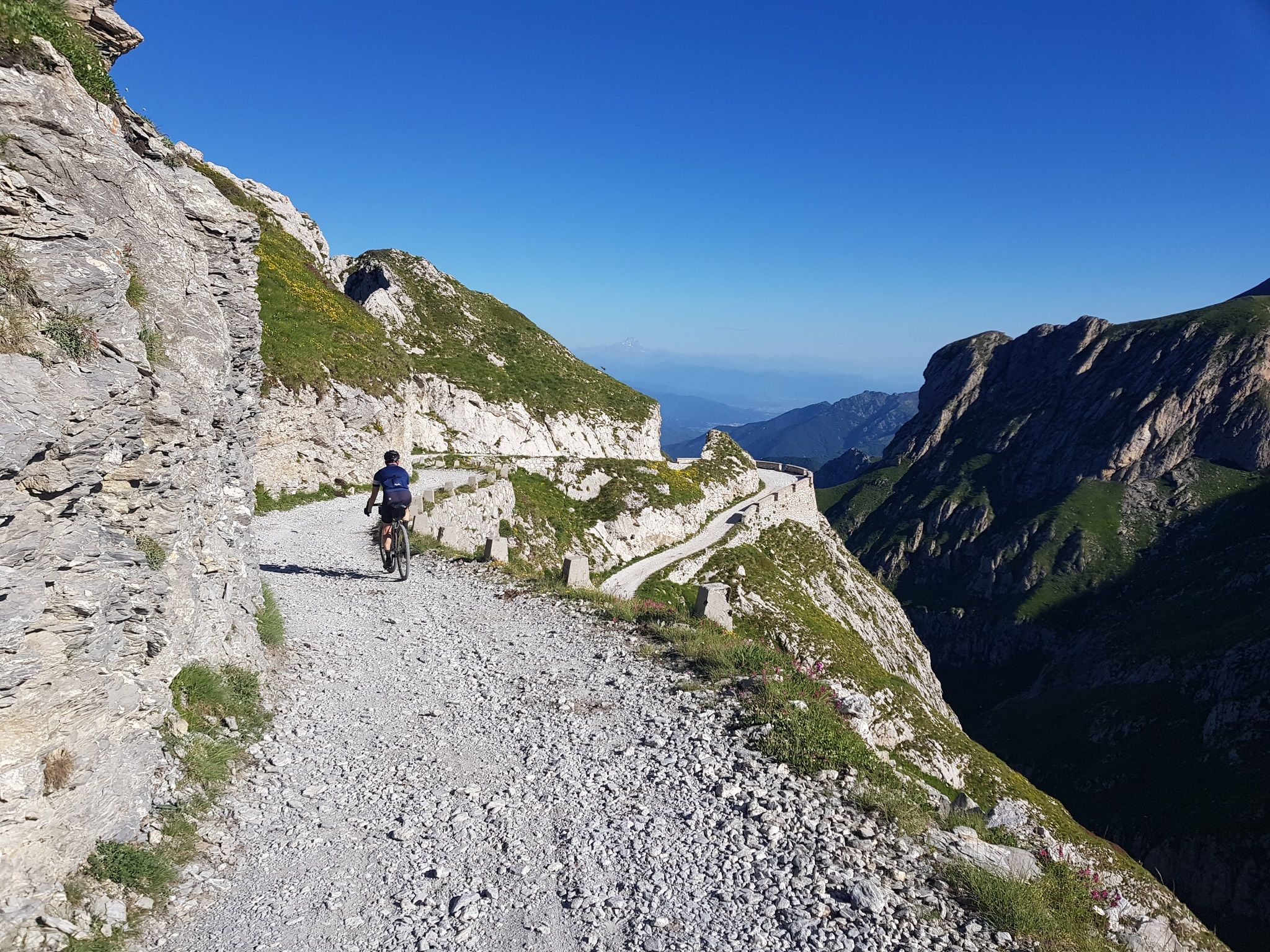
Mediterranean passes and gentle hills — cycling in Piedmont
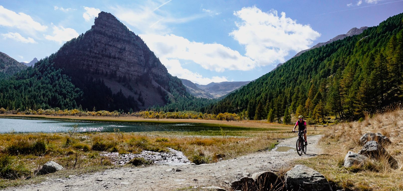
Military roads, forts and tunnels – gravel in the Southern Alps
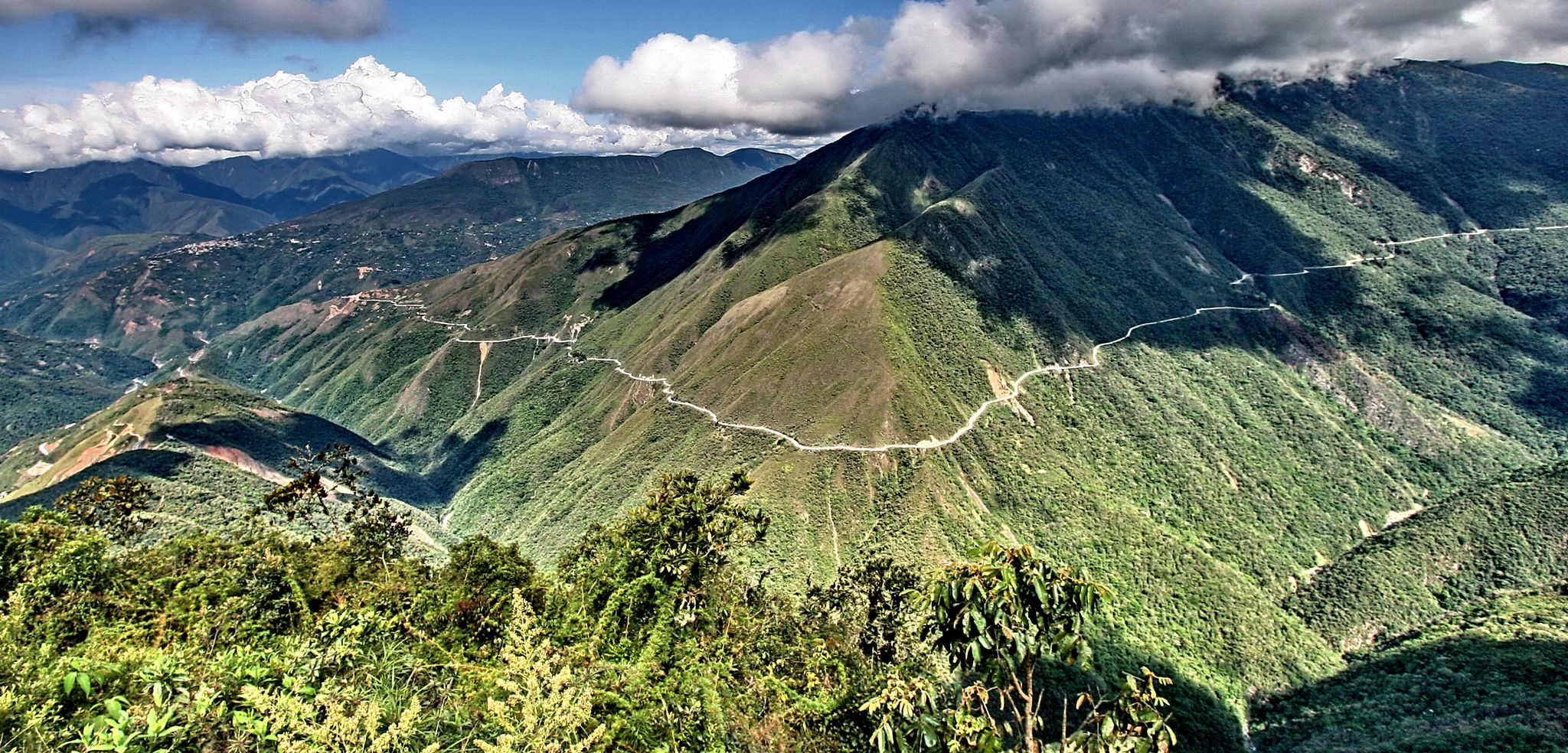
The world's most adventurous cycling passes
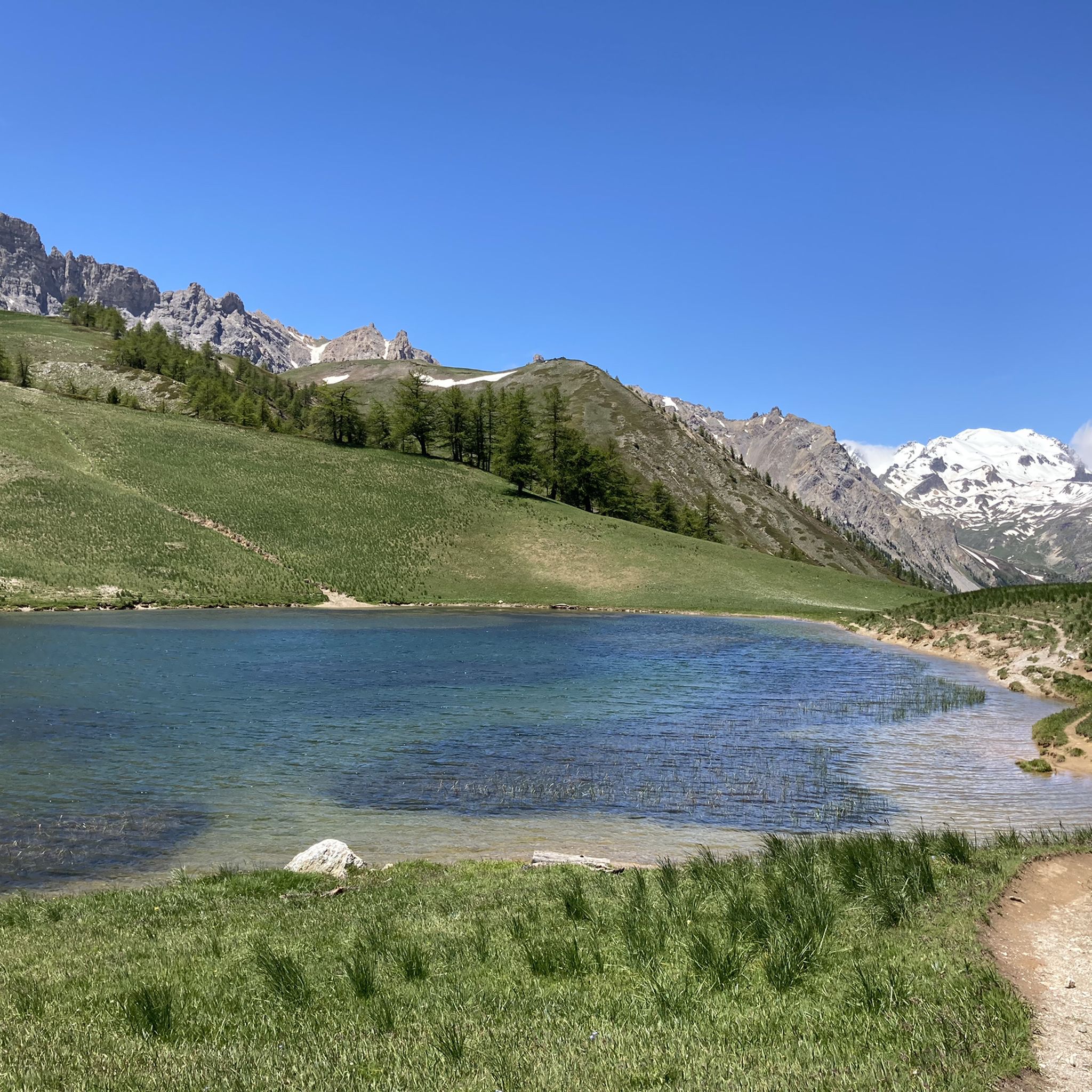
Hiking around Bardonecchia
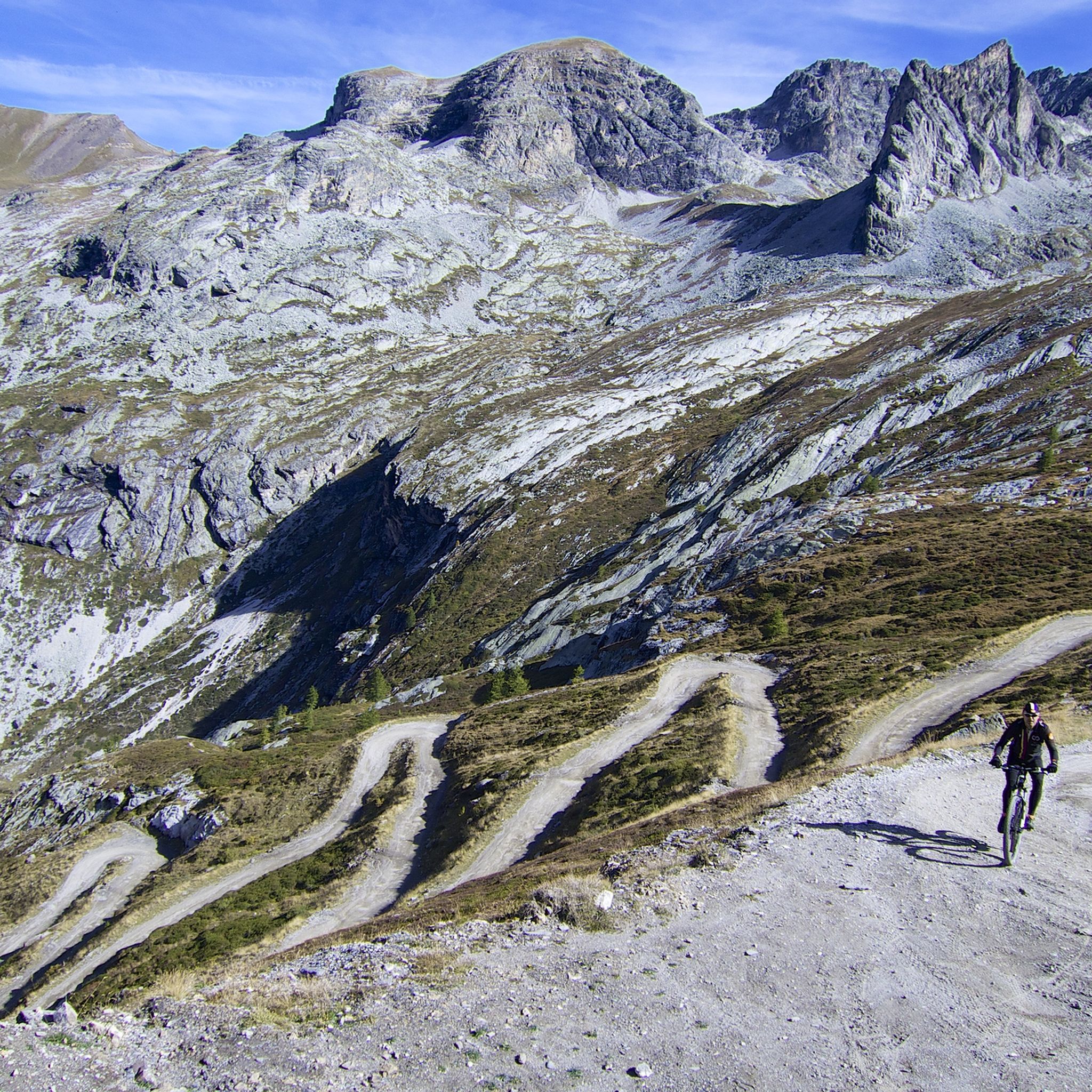
MTB Trails around Bardonecchia
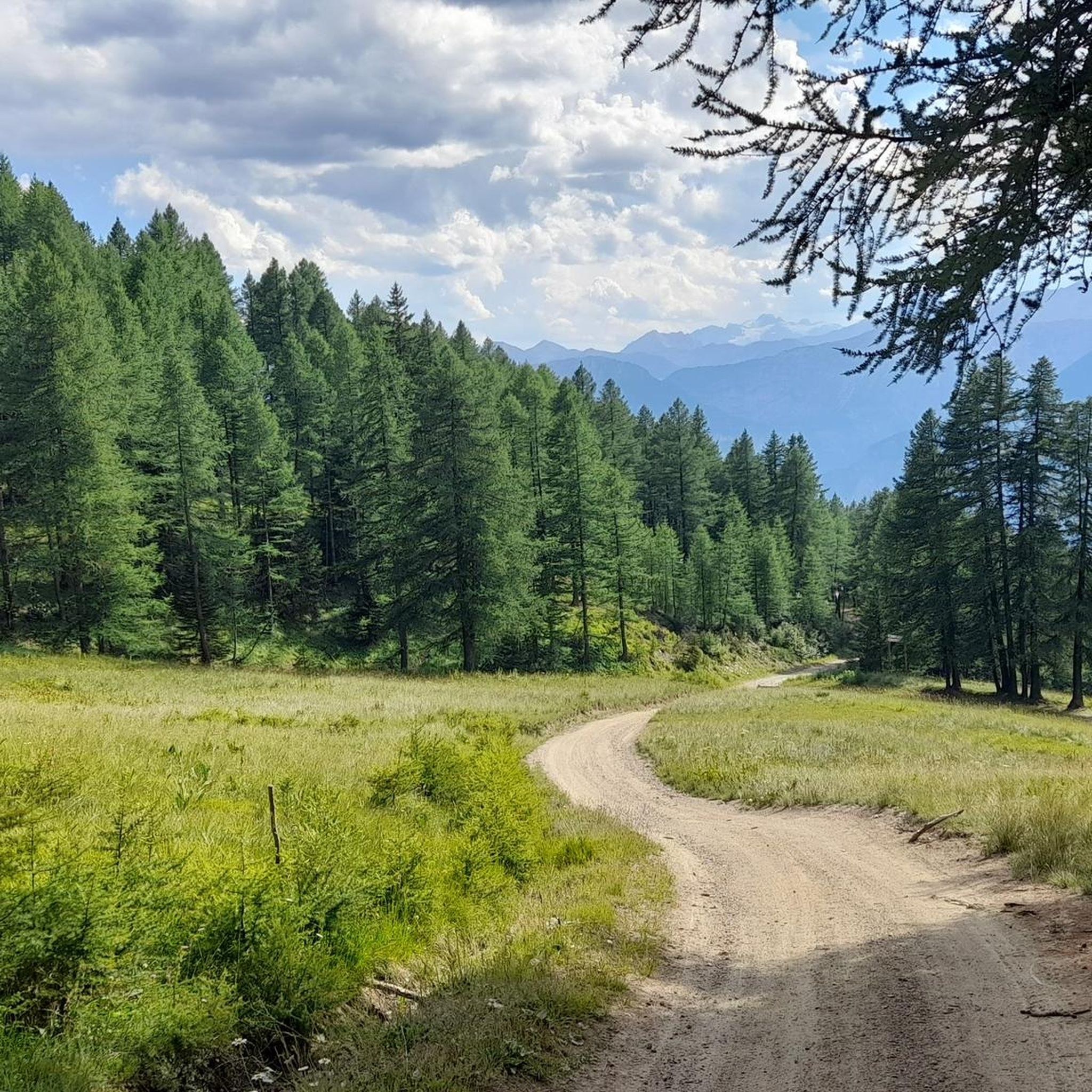
Road Cycling Routes around Bardonecchia

Gravel biking around Bardonecchia
Running Trails around Bardonecchia

Mountain Hikes around Bardonecchia
Other adventures around Bardonecchia


Tips from the Community

Unfortunately we found the dam emptied for maintenance work
0
0
One of the many picturesque stretches
0
0
The point to descend on the right orographic side of the valley
0
0
A nice refuge to take a break at the end of the descent from Sommelier.
0
0

The great view is a great reward for the long climb. Definitely worth it!
0
0

The highest legally accessible point in Europe.
0
0
Currently completely empty, you could walk through.
0
0

And the Vauban fortress. It is not a castle
0
0
Frequently Asked Questions
How many touring cycling routes can I find around Bardonecchia?
Bardonecchia offers an extensive network of over 280 touring cycling routes. These trails cater to various skill levels and preferences, traversing diverse terrain from paved roads to unpaved military paths and forested areas.
What is the best time of year for touring cycling in Bardonecchia?
The most popular months for touring cycling in Bardonecchia are July and August. During this period, the weather is generally favorable for exploring the high mountain passes and scenic valleys.
What kind of terrain can I expect on touring cycling routes in Bardonecchia?
You can expect a wide variety of terrain. Routes range from paved roads to unpaved military paths, winding through coniferous and beech forests, and ascending high mountain passes. You'll also find paths along disused railway lines and through pristine valleys like Rochemolles and Valfredda.
Are there routes suitable for beginners or less experienced touring cyclists?
Yes, while many routes are challenging, there are options for easier rides. The region offers routes with varying degrees of difficulty, including some that are less demanding and suitable for those looking for a more relaxed cycling experience.
What makes Bardonecchia a unique destination for touring cyclists?
Bardonecchia, often called the 'pearl of the Alps,' stands out due to its combination of majestic peaks, historical military roads, and diverse natural landscapes. Cyclists can explore ancient fortifications, ride along scenic valleys, and tackle iconic high mountain passes, all within a stunning Alpine setting.
Are there any challenging high mountain pass routes for experienced touring cyclists?
Absolutely. Bardonecchia is known for its demanding ascents over high mountain passes. A notable difficult route is the Col du Galibier – Col du Lautaret loop from Bardonecchia, which covers 84.2 miles (135.5 km) with significant elevation gain.
Can I find circular touring cycling routes in Bardonecchia?
Yes, many routes are designed as loops, allowing you to start and end in the same location. For example, the Bardonecchia – Poggio Capret loop from Bardonecchia offers varied terrain and loops directly from the town.
What historical sites can I explore by touring bike in Bardonecchia?
You can cycle along ancient military roads connecting historical sites. The Forte Föens – Fort Jafferau loop from Bardonecchia is a great option, leading through fortifications like Forte Föens and Fort Jafferau, which is Italy's highest fort.
Are there any scenic lakes or natural attractions accessible by touring bike?
Yes, the region features beautiful natural attractions. You can find routes that lead to places like Rochemolles Lake and Dam, known for its emerald green waters. The Rochemolles Valley itself offers immersive experiences within areas of community interest for biodiversity.
What do other touring cyclists enjoy most about cycling in Bardonecchia?
The area is highly rated by the komoot community, with an average score of 4.2 stars from over 40 reviews. Reviewers often praise the diverse terrain, the stunning Alpine scenery, and the variety of routes that cater to different fitness levels, from historical paths to challenging mountain passes.
Are there any routes that offer panoramic viewpoints?
Many routes in Bardonecchia provide breathtaking panoramic views, especially those that ascend to higher elevations. Routes incorporating high mountain passes like the Col du Galibier offer spectacular vistas of the surrounding Cottian and Dauphiné Alps.
Can I find routes that pass through protected natural areas?
Yes, some routes traverse or are adjacent to protected natural areas. The Gran Bosco Nature Park, a 6,000-hectare protected area rich in diverse fauna and flora, features dense pine, fir, and larch forests that you can explore by bike.
Are there any routes that venture close to the France-Italy border?
Yes, you can find routes that take you near the border. An example is the Pian del Colle – France–Italy Border Marker 56 loop from Valle Stretta, which offers a unique cross-border cycling experience.
Most popular routes around Bardonecchia
Most popular attractions around Bardonecchia

Get inspired with the komoot mobile app


Explore more
Browse the best Cycling routes in other regions.
