The best mountain hikes around Rasen-Antholz - Rasun-Anterselva
4.6
(27)
278
hikers
15
hikes
Mountaineering routes around Rasen-Antholz - Rasun-Anterselva are situated in South Tyrol, Italy, between the Dolomites and the Alps, within the Vedrette di Ries-Aurina Nature Park. The region features a landscape of impressive mountain peaks, including the Hochgall (3,436m) and Seekofel, glacier-carved valleys, and significant alpine lakes such as Lake Braies and Lake Anterselva. This diverse terrain offers a range of mountaineering experiences, from challenging alpine ascents to routes through high mountain pastures.
Best mountaineering routes around Rasen-Antholz - Rasun-Anterselva
- The…
Last updated: September 27, 2026
4.8
(5)
109
hikers
Moderate mountaineering route. Good fitness required. Mostly accessible paths. Sure-footedness required.
4.4
(10)
39
hikers
Hard mountaineering route. Very good fitness required. Mostly accessible paths. Sure-footedness required.

5.0
(4)
43
hikers
Moderate mountaineering route. Good fitness required. Mostly accessible paths. Sure-footedness required.
5.0
(1)
13
hikers
3.78km
02:33
370m
370m
Hard mountaineering route. Good fitness required. Sure-footedness, sturdy shoes and alpine experience required.
5.0
(1)
10
hikers
Moderate mountaineering route. Good fitness required. Mostly accessible paths. Sure-footedness required.
Get access to more routes and recommendations from other explorers.
Already have an account?
Our route recommendations are based on thousands of hikes, rides, and runs completed by other people on komoot.
Start today with a free account
Your next adventure awaits.
Popular around Rasen-Antholz - Rasun-Anterselva
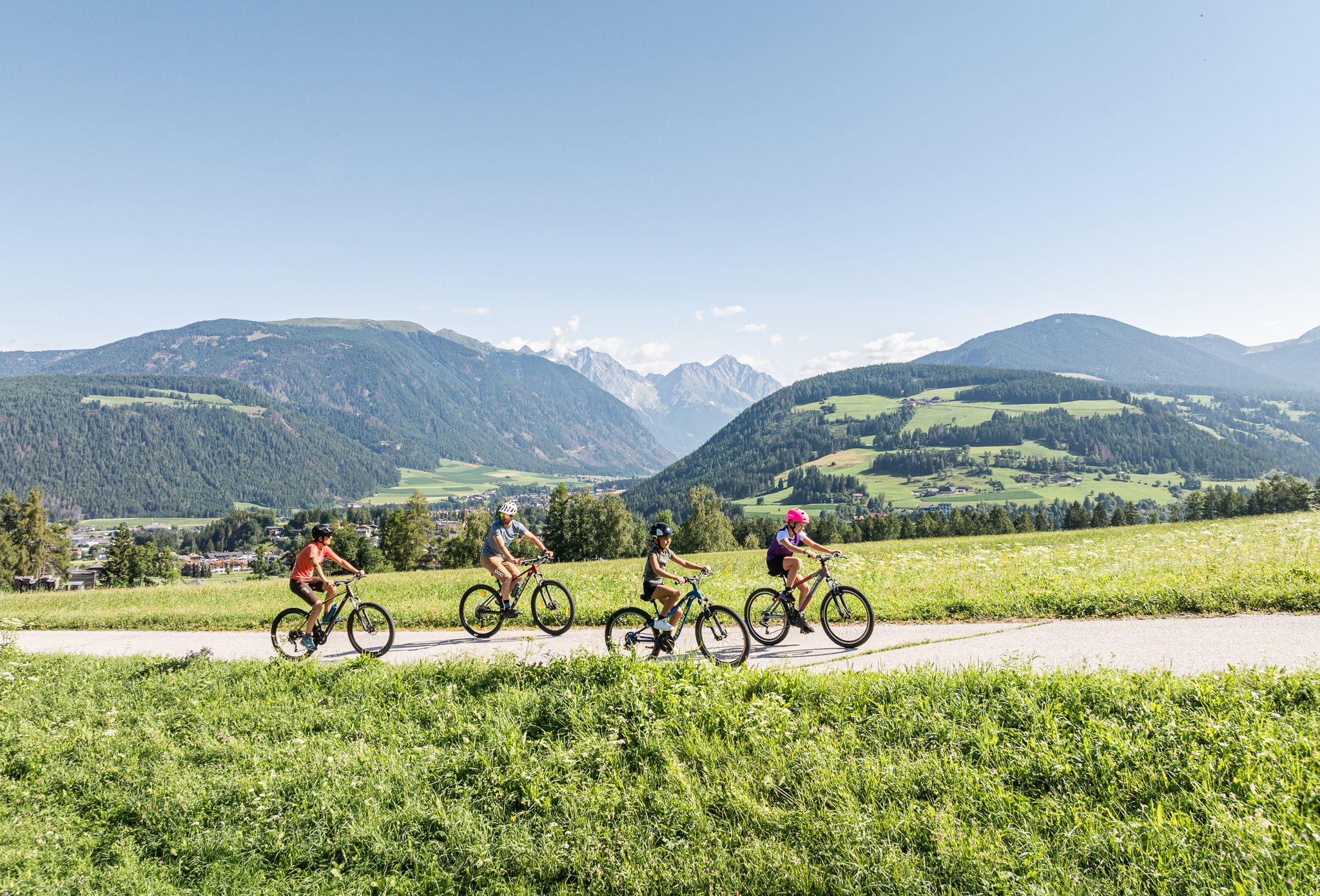
Dolomites gold on the Kronplatz – the most beautiful Tours!
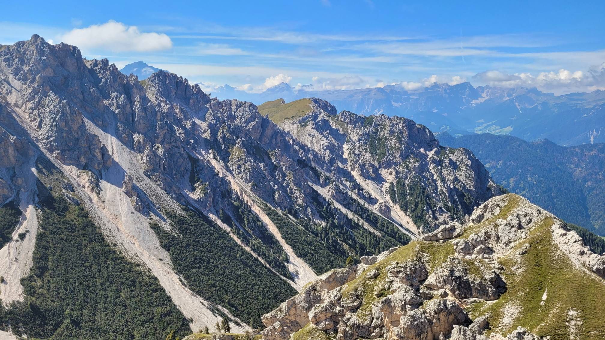
Impressive hikes in the mountains around South Tyrol’s Bruneck
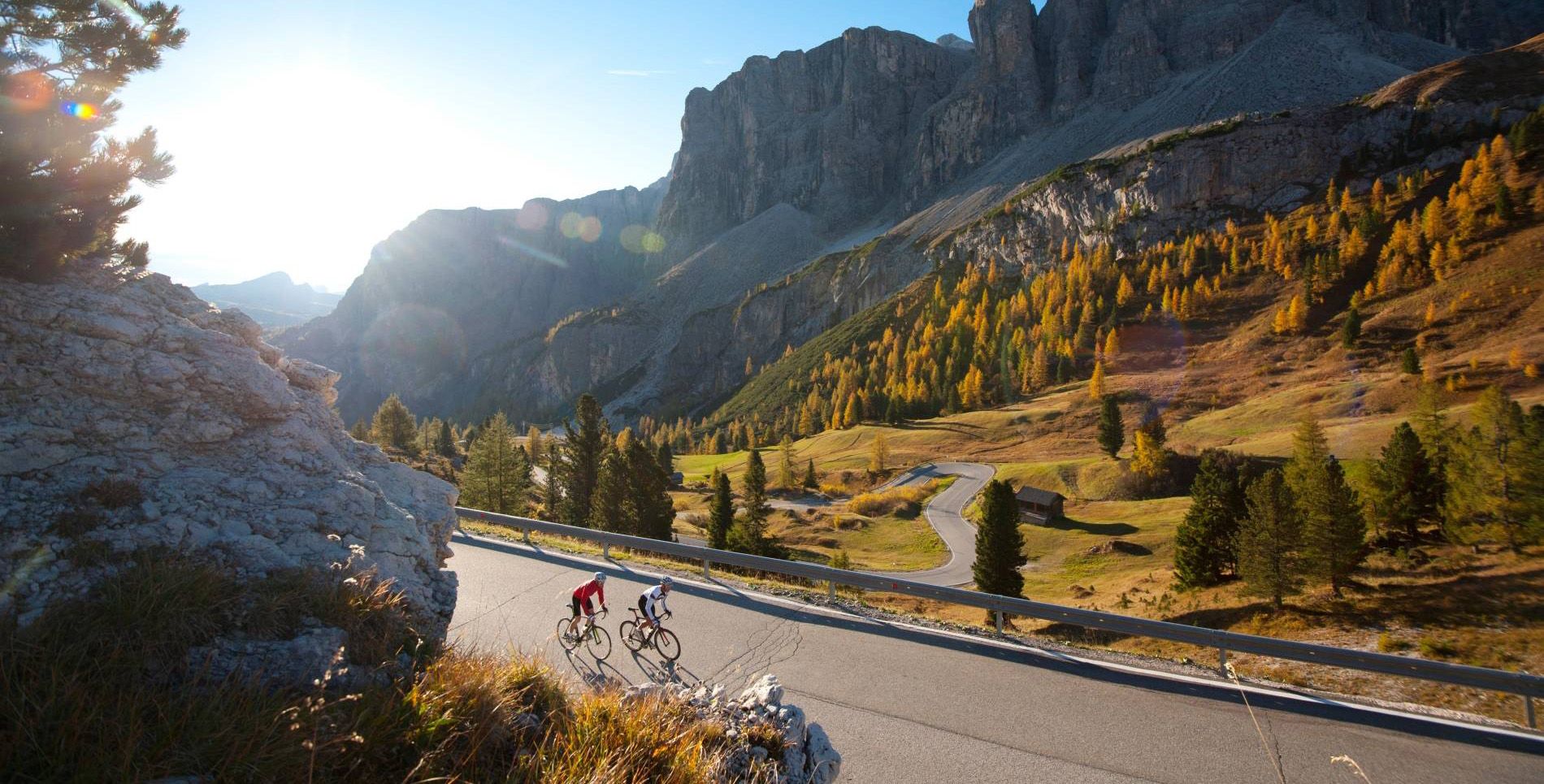
South Tyrol — the best tours for road cyclists
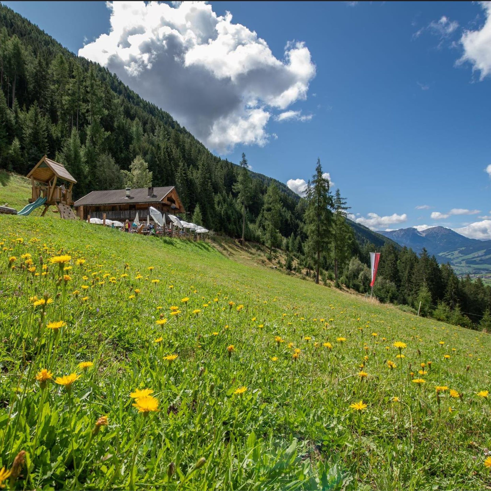
Hiking around Rasen-Antholz - Rasun-Anterselva
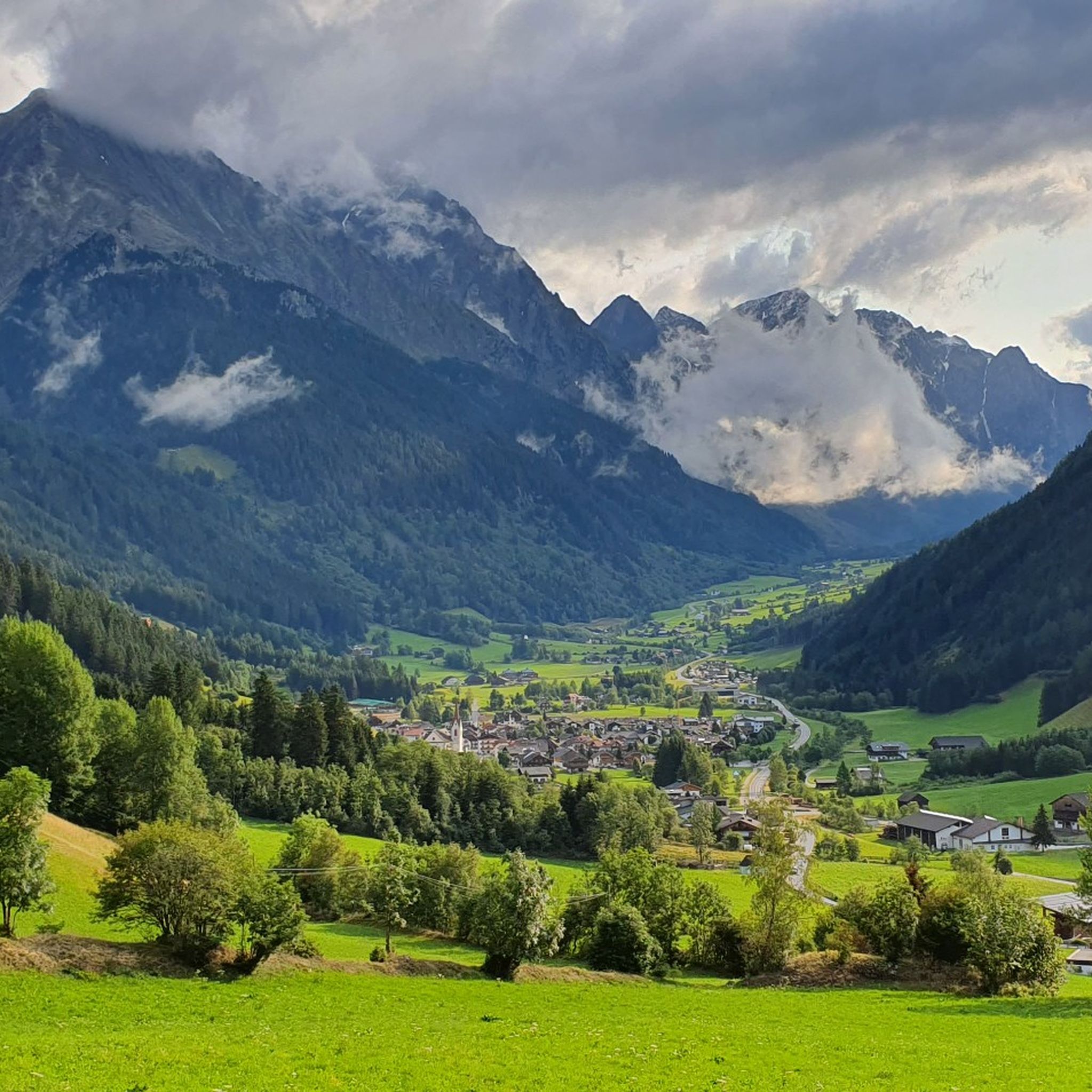
MTB Trails around Rasen-Antholz - Rasun-Anterselva
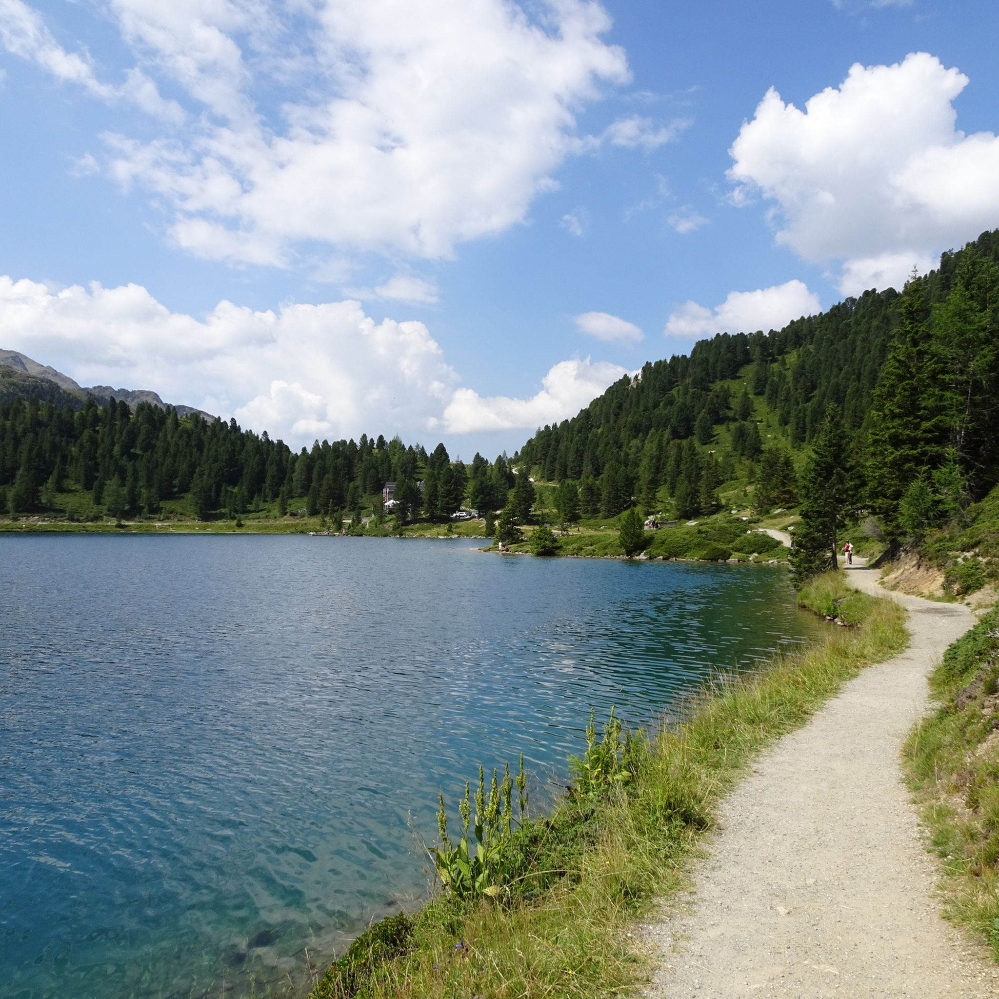
Cycling around Rasen-Antholz - Rasun-Anterselva
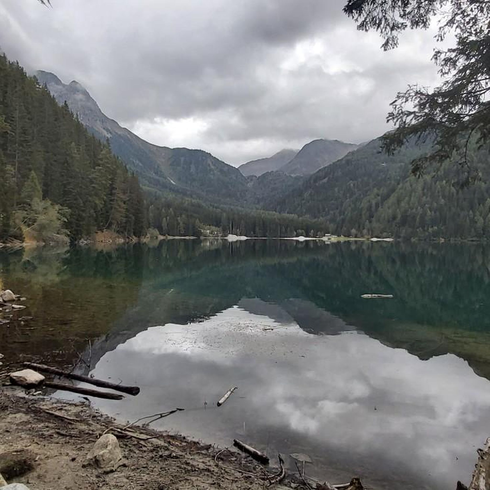
Running Trails around Rasen-Antholz - Rasun-Anterselva

Gravel biking around Rasen-Antholz - Rasun-Anterselva
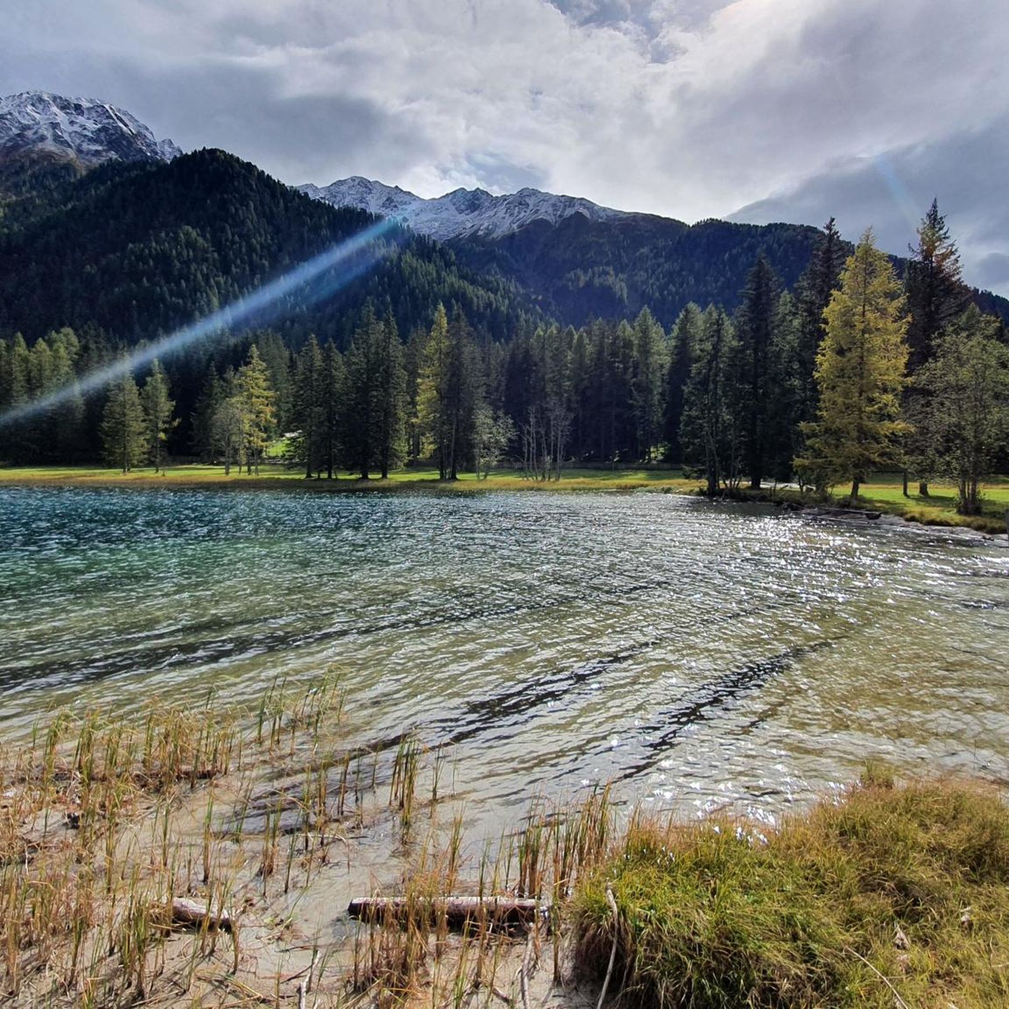
Road Cycling Routes around Rasen-Antholz - Rasun-Anterselva
Other adventures around Rasen-Antholz - Rasun-Anterselva


Tips from the Community

A few corrections for the author of the info text: For families with children of appropriate age and fitness, the tour from Rein is feasible 2. Kasseler Hütte = former Hochgallhütte 3. Enzianhütte and Barmer Hütte are 10-12 hours away from us, so not directly reachable from us afterwards 4. Hot water and shower are NOT available daily 5. There have been no bike tours around the hut for the last 47 years 6. We will gladly give you more detailed information about walking times and technical difficulty for the respective summits in person Warm greetings with a "Berg Heil" (mountain greeting) The hosts Theresa & Martin of the Rieserfernerhütte
0
0

On the north bank, you can walk along the lake on a boardwalk, beautifully integrated into the shore landscape.
8
0

You can walk around the lake on a path approximately 3.5 km long, with about 90m of elevation gain to overcome. During the hike, you always have a great view of the lake with its magnificent colors.
1
0


The wooden plank walkways were laid across marshland on the northern shore of the lake to protect the fragile natural environment. They offer spectacular views of the lake and the surrounding mountains of the Rieserferner Group. The plank walkways are part of the 3.4 to 3.5-kilometer circular trail, which provides information about the local flora and fauna, as well as the formation of the lake, via information panels.
3
1
The lake's water shimmers in impressive turquoise-green hues. With a surface area of approximately 44 hectares, it is the third-largest natural lake in South Tyrol. It has a maximum depth of 38 meters. It probably formed at the end of the last Ice Age by a natural landslide or rockslide that blocked the valley and dammed the water. Due to its altitude and low water temperature (below 17°C year-round), it is not a bathing lake, but a typical cold mountain lake. A lovely path, partly on wooden boardwalks, leads us around the lake.
3
0
The lake's water shimmers in impressive turquoise-green hues. With a surface area of approximately 44 hectares, it is the third-largest natural lake in South Tyrol. It has a maximum depth of 38 meters. It probably formed at the end of the last Ice Age by a natural landslide or rockslide that blocked the valley and dammed the water. Due to its altitude and low water temperature (below 17°C year-round), it is not a bathing lake, but a typical cold mountain lake. A lovely path, partly on wooden boardwalks, leads us around the lake.
1
0
Frequently Asked Questions
How many mountaineering routes are available in Rasen-Antholz - Rasun-Anterselva?
There are over 18 mountaineering routes around Rasen-Antholz - Rasun-Anterselva, offering a diverse range of experiences for different skill levels. The komoot community has explored these trails over 280 times, giving them an average rating of 4.6 stars.
What types of mountaineering routes can I expect in this region?
The region offers a variety of routes, from moderate ascents to challenging alpine climbs. You'll find 12 moderate routes and 6 difficult routes, including summit hikes, glacier ascents, and paths through high mountain pastures. The terrain is characterized by impressive Dolomite peaks, glacier-carved valleys, and alpine lakes.
Are there any challenging mountaineering routes for experienced climbers?
Yes, for experienced mountaineers, the region offers significant challenges. Peaks like Hochgall (3,436m) present demanding ascents, sometimes involving alpine climbing sections with difficulties of II-III. Routes like the Oberseehütte at Stallersattel – Alpine Valley Landscape loop from Antholzer See - Lago di Anterselva are rated as difficult and explore the alpine valley landscape near Lake Anterselva. The Rieserferner Group also provides ample opportunities for challenging ascents and glacier crossings.
What are some notable natural attractions or landmarks to see while mountaineering?
The region is rich in natural beauty. You can explore the stunning Lake Anterselva – Antholzer See, the third-largest lake in South Tyrol, or the iconic Lake Braies / Pragser Wildsee, often called the 'Pearl of the Dolomites'. The First Reinbach Waterfall is another spectacular natural attraction, especially during snowmelt. Many routes offer panoramic views of the Vedrette di Ries-Aurina Nature Park, which is part of a UNESCO World Heritage site.
Are there any circular mountaineering routes in Rasen-Antholz - Rasun-Anterselva?
Yes, there are several excellent circular routes. For example, the Lutterkopf (2,145 m) – Durakopf (2,245 m) loop from Wanderparkplatz Mudler Hof is a moderate 7.1-mile trail offering great views. Another popular option is the Staller Pass – Lake Anterselva loop from Antholzer See - Lago di Anterselva, which takes you through the Staller Pass area and around Lake Anterselva.
What is the best time of year for mountaineering in Rasen-Antholz - Rasun-Anterselva?
The best time for mountaineering in Rasen-Antholz - Rasun-Anterselva is generally during the warmer months, from late spring to early autumn (June to September), when trails are clear of snow and weather conditions are more stable. However, some higher alpine routes, especially those involving glaciers, might be best tackled in mid-summer (July-August) when snow cover is minimal. Always check local weather forecasts and trail conditions before heading out.
Are there any huts or refuges along the mountaineering routes for overnight stays or refreshments?
Yes, the region has several huts and refuges that can serve as excellent starting points for alpine tours or for refreshments. The Rieserferner Hut (Rifugio Vedrette di Ries) is a notable example, ideal for those undertaking more challenging ascents in the Rieserferner Group. Other options include Grünwald Alm – Malga Foresta and Barmer Hut.
What should I wear for mountaineering in Rasen-Antholz - Rasun-Anterselva during summer?
Even in summer, mountain weather can be unpredictable. It's advisable to dress in layers, including moisture-wicking base layers, insulating mid-layers (fleece or light down), and a waterproof and windproof outer shell. Sturdy hiking boots with good ankle support are essential. Don't forget sun protection (hat, sunglasses, sunscreen), gloves, and a warm hat for higher altitudes, as temperatures can drop significantly.
Are there any mountaineering routes suitable for families?
While many mountaineering routes in this region are moderate to difficult, some sections or shorter loops might be suitable for families with older, experienced children. For example, parts of the Oberseehütte at Stallersattel – Staller Sattel Pass loop from Staller Sattel - Passo di Stalle offer beautiful scenery without extreme technical difficulty. Always check the specific route's difficulty and elevation gain to ensure it matches your family's capabilities.
What do other mountaineers enjoy most about the routes in Rasen-Antholz - Rasun-Anterselva?
The komoot community highly rates the mountaineering routes in Rasen-Antholz - Rasun-Anterselva, with an average score of 4.6 stars. Reviewers often praise the breathtaking panoramic views of the Dolomites and the Alps, the diverse terrain ranging from alpine lakes to challenging peaks, and the well-maintained trails within the Vedrette di Ries-Aurina Nature Park. The combination of challenging ascents and stunning natural beauty makes it a truly rewarding experience.
Are there any specific permits required for mountaineering or climbing in the region?
Generally, no specific permits are required for hiking or mountaineering on marked trails within the Vedrette di Ries-Aurina Nature Park. However, for more technical climbs, especially those involving glaciers or specific climbing gardens like the Antholz Niedertal, it's always wise to check with local alpine guides or the park authority for any specific regulations or safety recommendations. Guided experiences are also available for those seeking to tackle more challenging ascents safely.
Most popular routes around Rasen-Antholz - Rasun-Anterselva
Most popular attractions around Rasen-Antholz - Rasun-Anterselva

Get inspired with the komoot mobile app


Explore more
Browse the best Mountain Hikes & Routes in other regions.
