The best walks and hikes in the Rocky Mountains
4.6
(8437)
85,492
hikers
862
hikes
Hiking in the Rocky Mountains offers diverse landscapes shaped by ancient geological processes, including volcanic activity, tectonic movements, and extensive glaciation. The region features vast montane forests, subalpine zones, and alpine tundra, leading to high-altitude peaks and U-shaped glacial valleys. Numerous alpine lakes and waterfalls are accessible via an extensive network of trails. This varied terrain provides a wide range of hiking experiences.
Best hiking trails in the Rocky Mountains
- The most popular hiking route is Little Beehive via Lake…
Last updated: November 4, 2026
4.8
(349)
3,582
hikers
9.18km
03:38
460m
460m
Moderate hike. Good fitness required. Mostly walkable paths. Sure-footedness required.
4.8
(335)
3,422
hikers
9.45km
03:37
460m
460m
Moderate hike. Good fitness required. Mostly walkable paths. Sure-footedness required.

4.9
(219)
1,470
hikers
11.4km
04:28
530m
530m
Moderate hike. Good fitness required. Mostly walkable paths. Sure-footedness required.
4.8
(157)
1,436
hikers
11.6km
04:06
690m
690m
Moderate hike. Good fitness required. Easily walkable paths.
4.9
(158)
1,286
hikers
14.0km
05:51
830m
830m
Hard hike. Very good fitness required. Sure-footedness, sturdy shoes and alpine experience required.
4.8
(129)
1,244
hikers
11.2km
04:20
710m
710m
Hard hike. Good fitness required. Sure-footedness, sturdy shoes and alpine experience required.
4.9
(165)
1,241
hikers
13.4km
03:41
230m
230m
Moderate hike. Good fitness required. Easily walkable paths.
4.9
(159)
1,166
hikers
Hard hike. Very good fitness required. Mostly walkable paths. Sure-footedness required.
4.7
(110)
1,027
hikers
4.48km
01:34
260m
260m
Easy hike. Easily walkable paths.
4.9
(78)
806
hikers
9.04km
02:29
140m
140m
Moderate hike. Good fitness required. Easily walkable paths.
Get access to more routes and recommendations from other explorers.
Already have an account?
Our route recommendations are based on thousands of hikes, rides, and runs completed by other people on komoot.
Start today with a free account
Your next adventure awaits.
Popular around Rocky Mountains
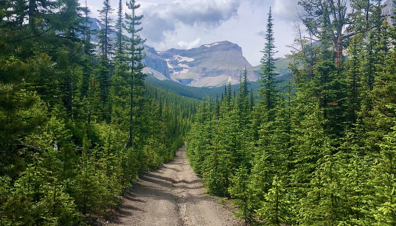
Run the Rockies – mountain range fastpack #5
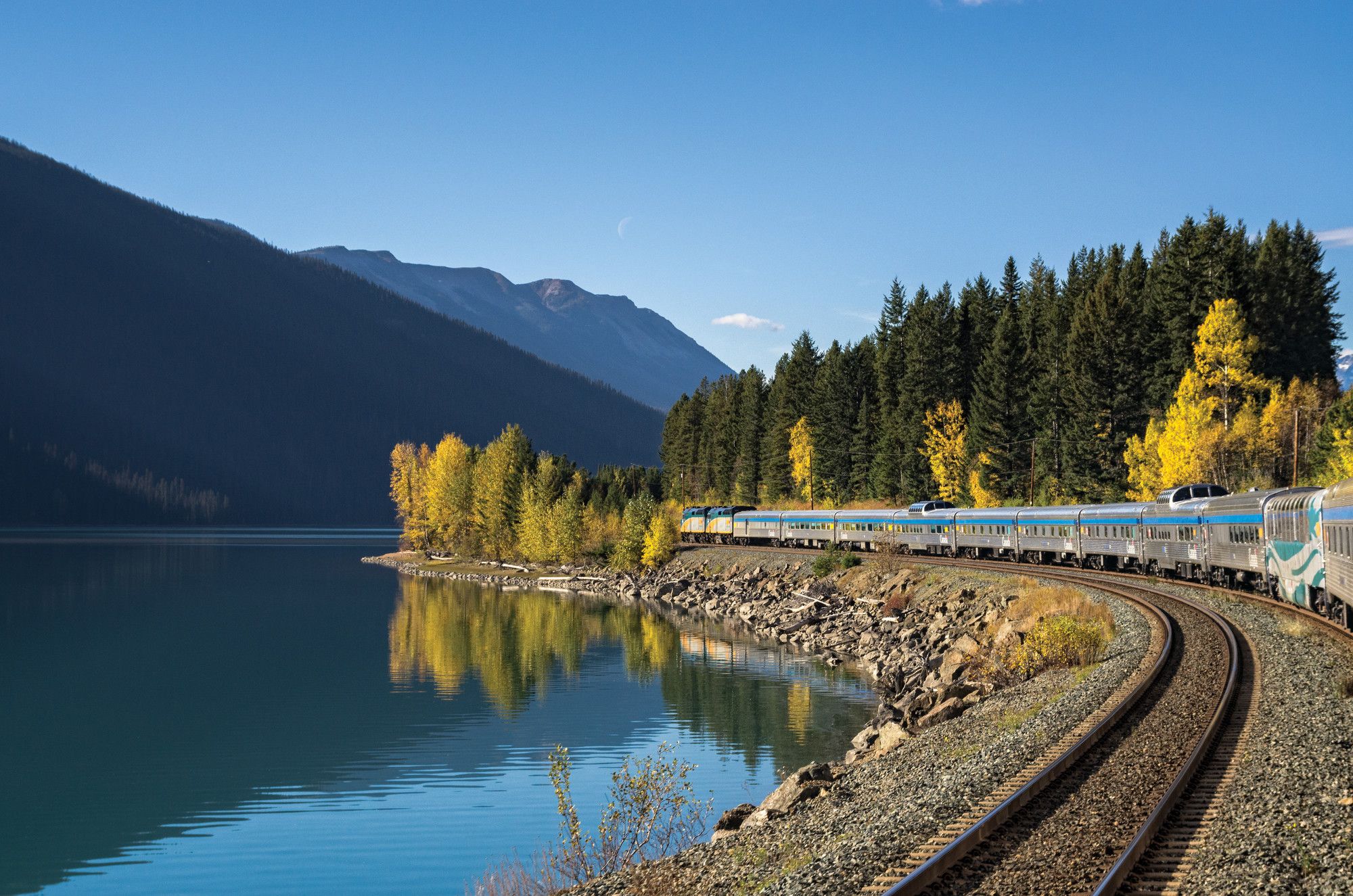
Canada by train – scenic hikes from Western stations
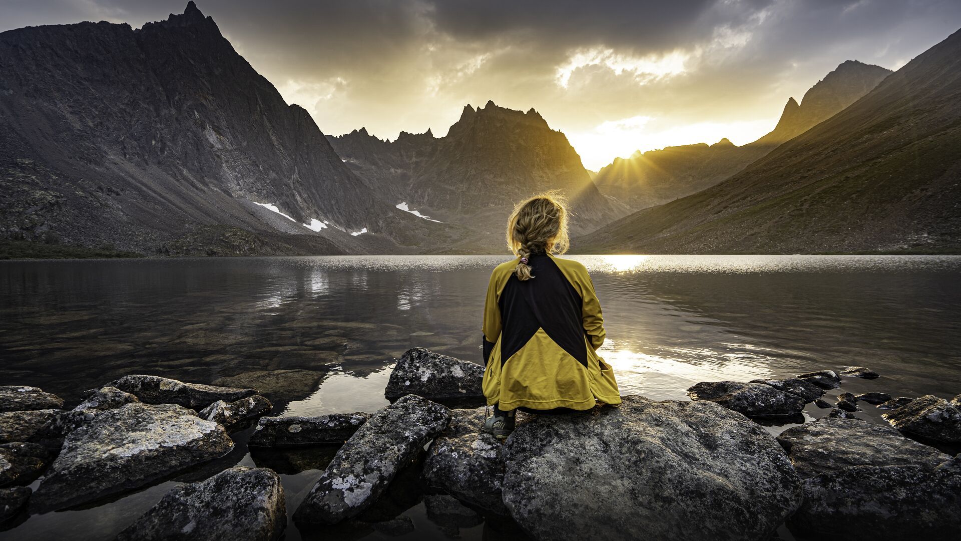
The longest footpath in the world – Trans Canada Trail
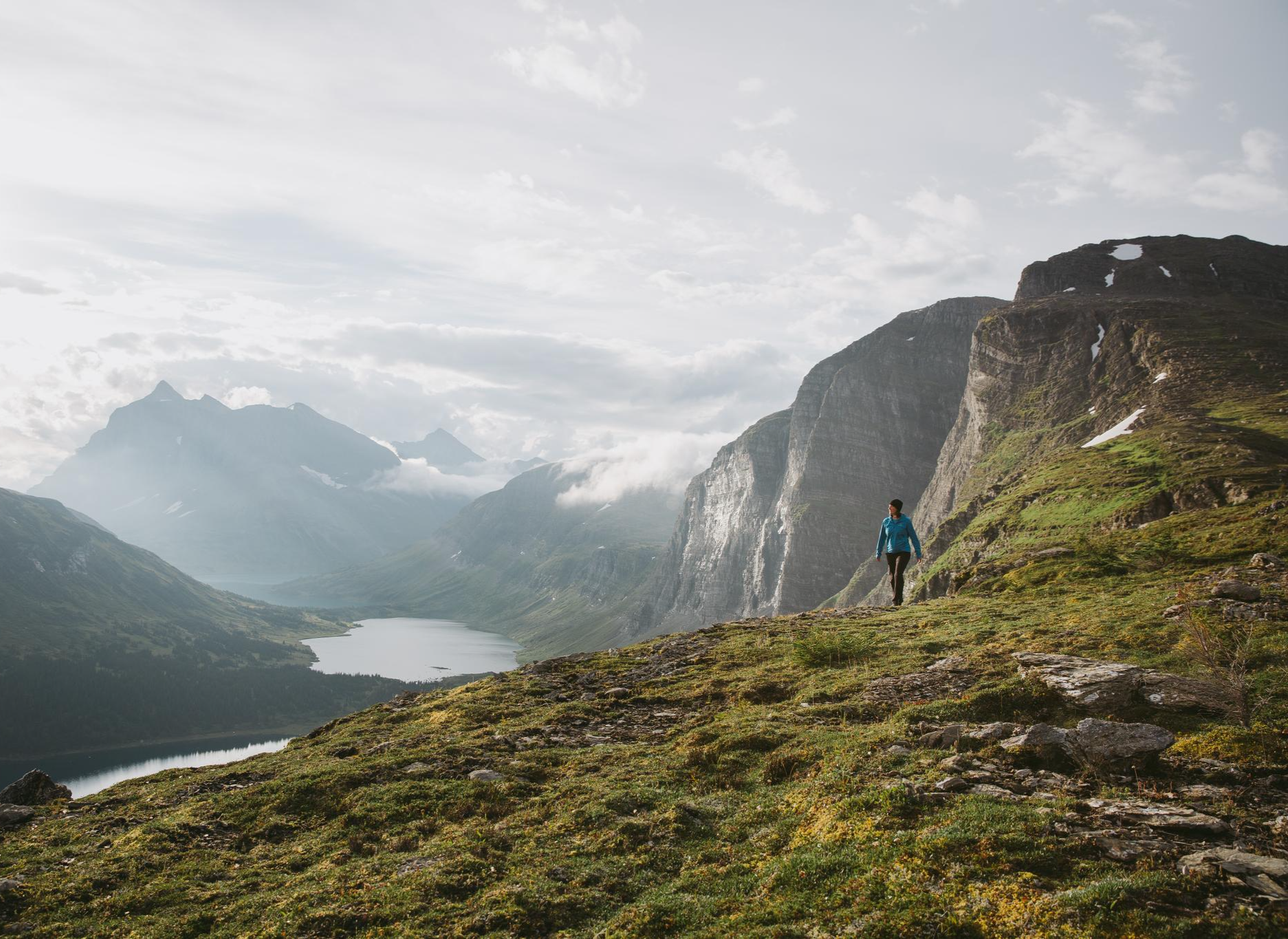
The Great Wilderness – hiking in the vastness of British Columbia
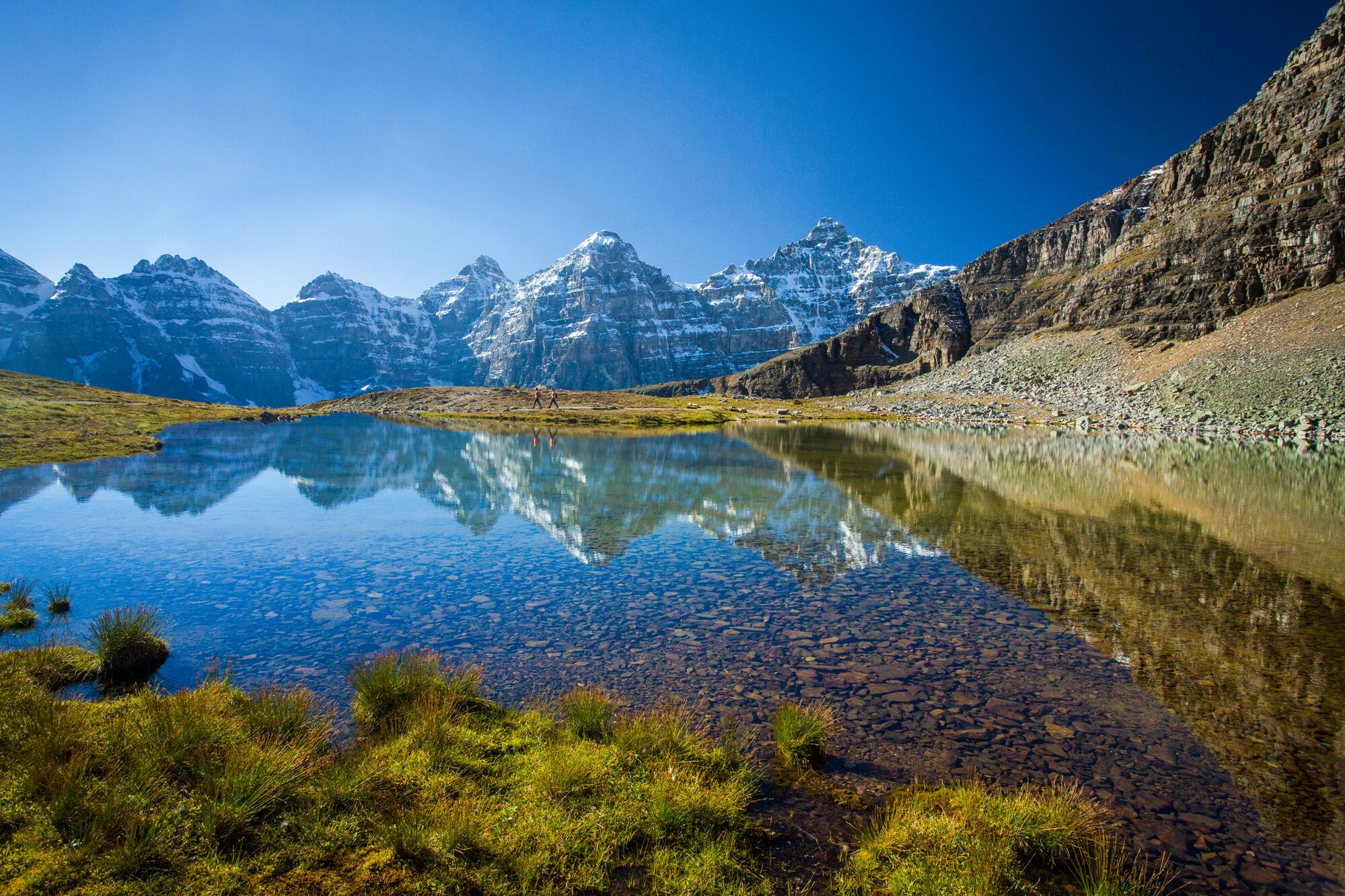
Spectacular road trip hikes – discover Calgary and Southern Alberta
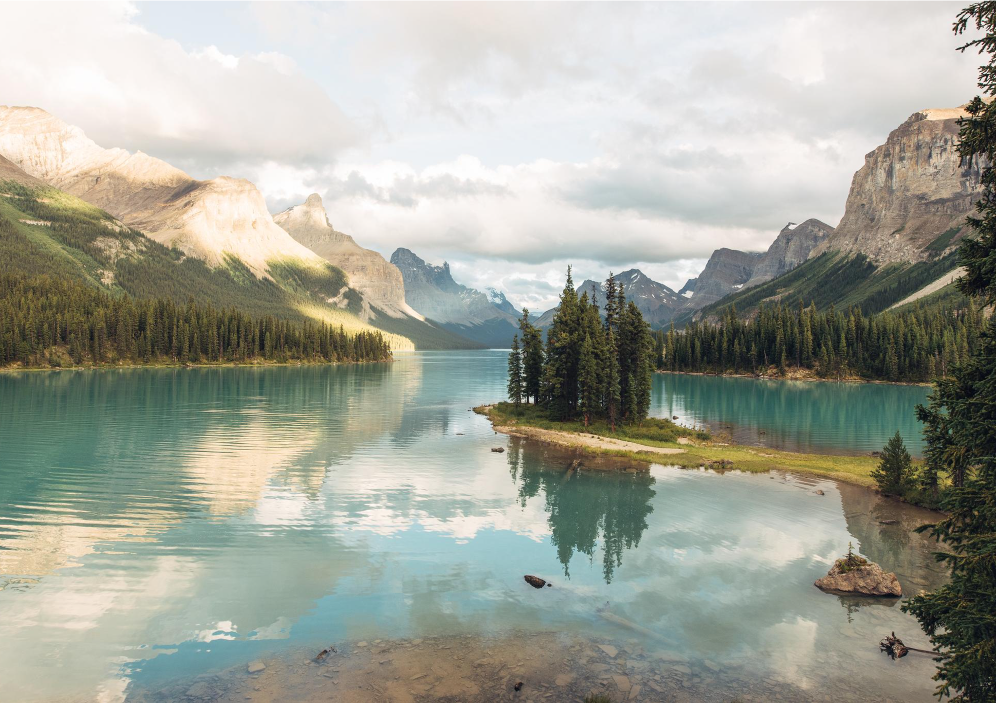
Waterfalls and wild lakes – hiking in Northern Alberta and Jasper
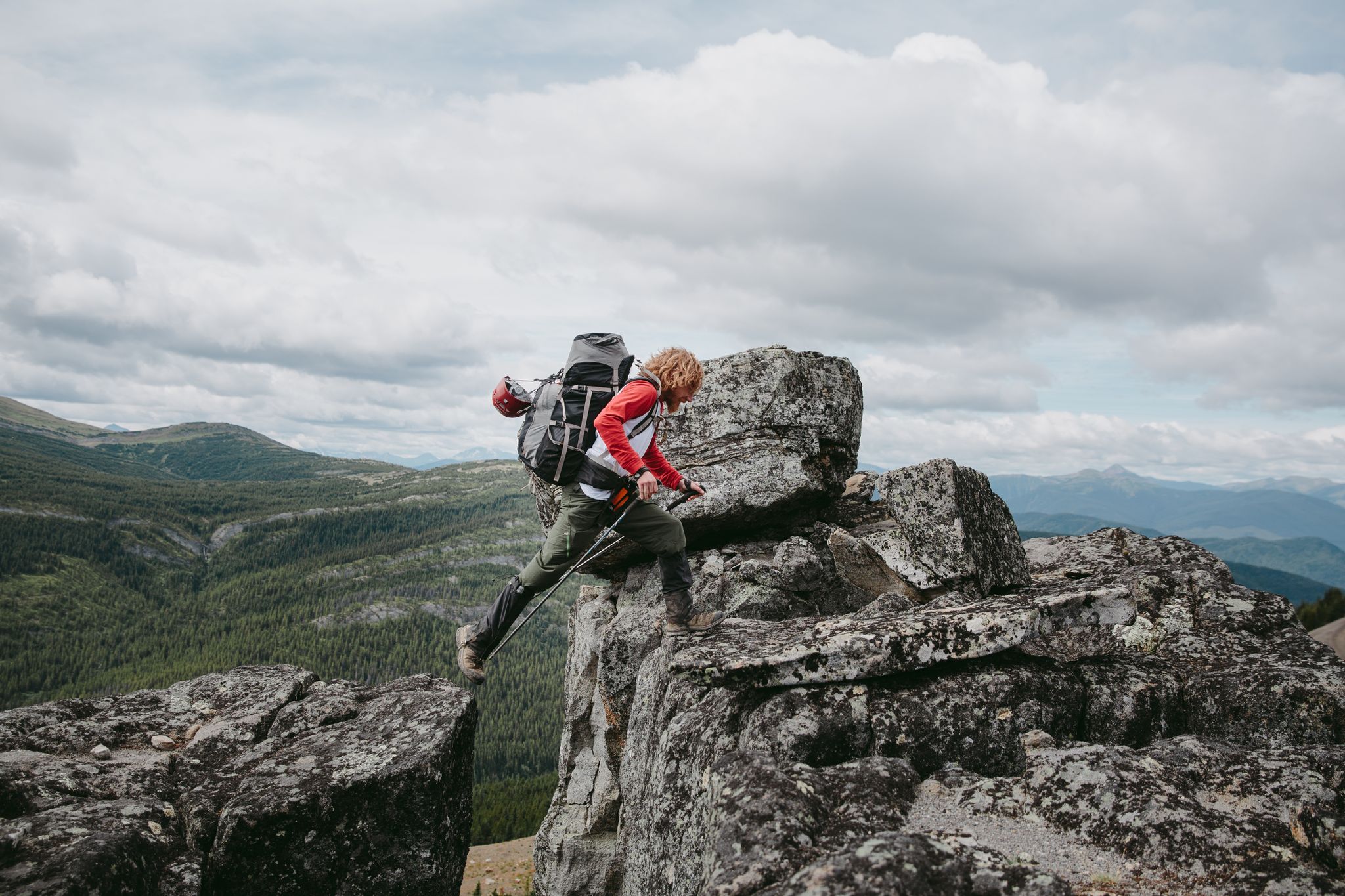
The Great Wilderness – a multi-day route across British Columbia
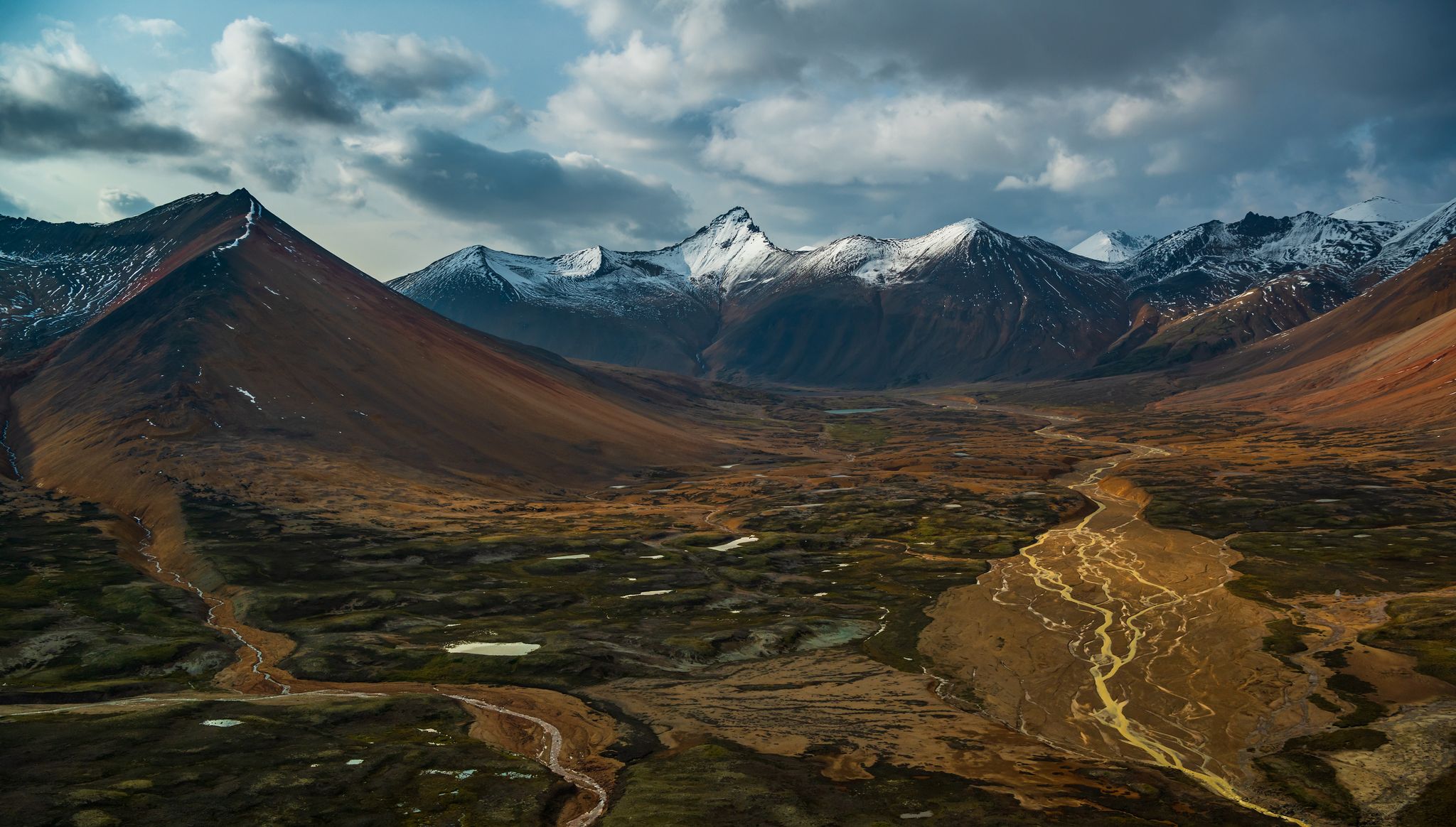
The Great Wilderness – hiking adventures in vast British Columbia
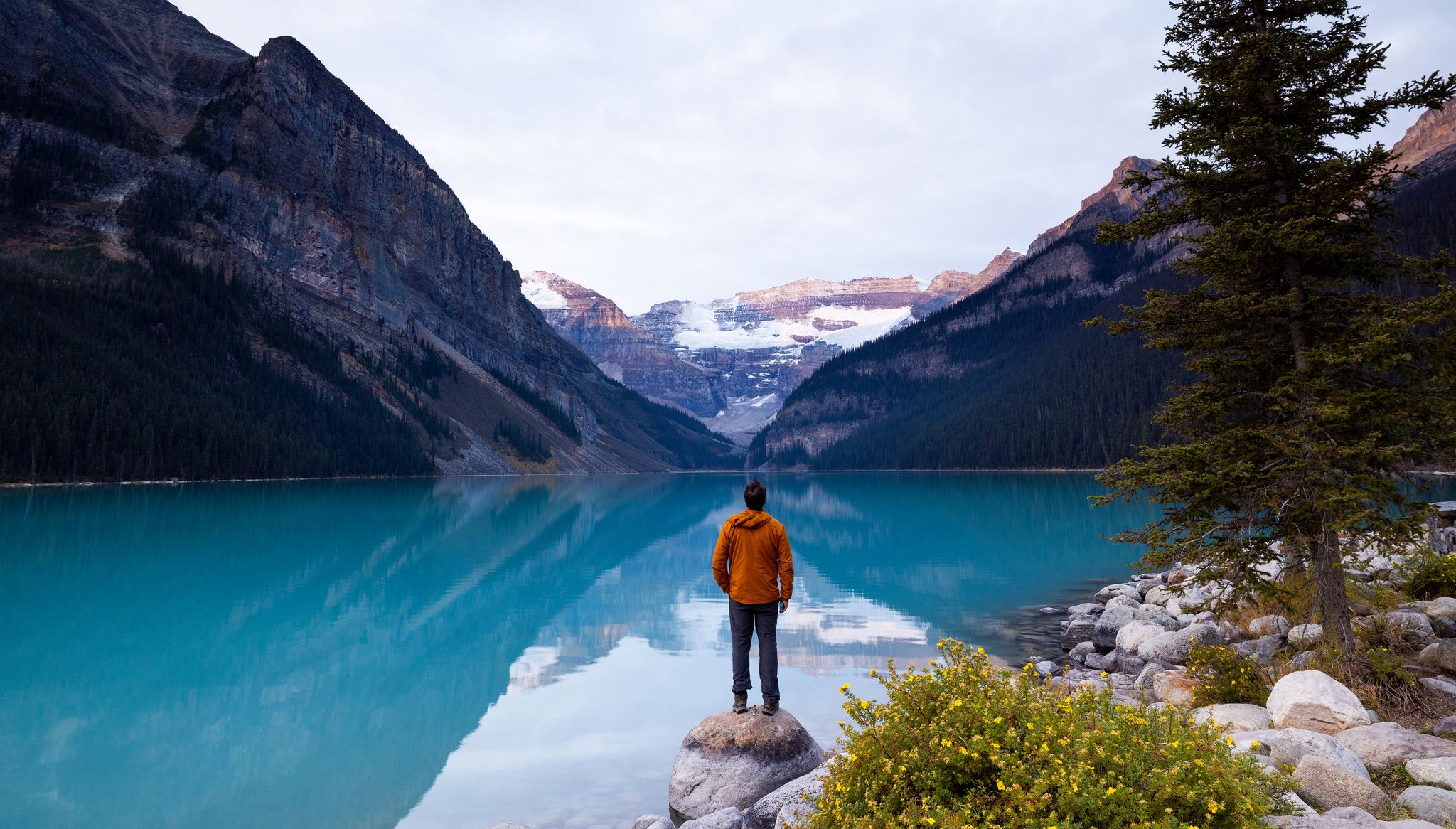
Hiking in Alberta – explore nature, discover indigenous culture
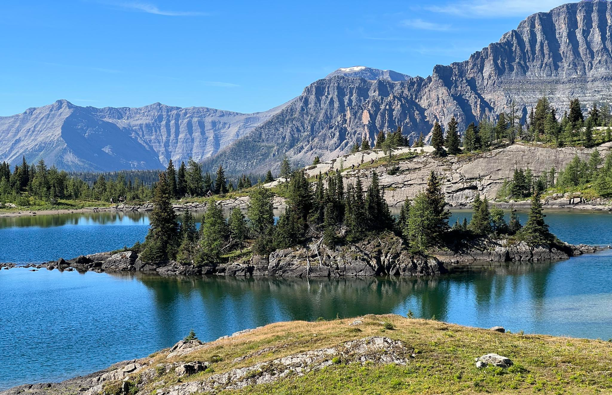
Great Divide Trail – Section A to E: Waterton to Maligne Lake
Other adventures in the Rocky Mountains


Tips from the Community

blue and very still water that perfectly reflects the summit of Mt. Robson in the background
0
0

A very beautiful lake. By far more beautiful than Lake Louise
1
0

As the trail wraps around the lower slopes of Devil's Thumb you get a great view over the eastern half of Lake Louise to the mountains of Banff.
0
0
The trail leads right up to the cliff's edge, from which you can look out upon Lake Louise and straight down the mountain to Mirror Lake below.
0
0

A very beautiful mountain lake and a great ensemble with the mountains.
1
0

About an hour up and 45 mins down. Beautiful views!
0
0

It really feels like a fairy tale here.
4
0

The Plain of Six Glaciers Tea House is a classic Banff hiking destination and one of the few backcountry tea houses still operating in the Rockies. The teahouse is a rustic log cabin built in 1927, where hikers can enjoy tea, homemade lunches, and baked goods surrounded by towering icefalls and creaking glaciers. The tea house accepts cash only (Canadian Dollars) and can get busy in summer, so arrive early, pack layers for alpine weather, and savor one of the most scenic cups of tea in the world.
1
0
Frequently Asked Questions
How many hiking trails are available in the Rocky Mountains?
The Rocky Mountains offer a vast network of trails, with over 770 hiking routes available on komoot. These trails cater to all skill levels, including over 310 easy, 320 moderate, and 120 difficult options, ensuring there's a path for every adventurer.
What kind of terrain can I expect when hiking in the Rocky Mountains?
Hikers in the Rocky Mountains will encounter incredibly diverse terrain, shaped by ancient geological processes. You can expect to traverse montane forests, ascend through subalpine zones, and reach high-altitude alpine tundra. The landscape features dramatic peaks, U-shaped glacial valleys, and numerous stunning alpine lakes and waterfalls.
Are there family-friendly hiking trails in the Rocky Mountains?
Yes, the Rocky Mountains offer many trails suitable for families. For an easy and accessible option, consider the Grassi Lake Trail in Canmore Nordic Centre Provincial Park, which is 4.5 km long and takes about 1 hour 30 minutes. Many trails around popular lakes like Sprague Lake (in Rocky Mountain National Park) also offer easy, scenic walks perfect for all ages.
What are some notable natural features or landmarks to see on a hike?
The Rocky Mountains are rich with natural wonders. You can explore stunning alpine lakes such as Lake Annette or the iconic Lake Louise, and witness impressive waterfalls like Alberta Falls or Takakkaw Falls. Many trails also lead to breathtaking viewpoints, offering panoramic vistas of the majestic peaks and valleys, such as the View of Banff Springs Hotel.
Are there any challenging hikes for experienced hikers?
Absolutely. For experienced hikers seeking a challenge, the Rocky Mountains provide numerous difficult routes. The Sentinel Pass trail is a demanding 11.2 km route that takes approximately 4 hours 20 minutes, leading through alpine terrain with views of glacial cirques and high mountain passes. Another challenging option is The Teahouses loop via Lake Agnes and Plain Of Six Glaciers Trails, a 14.1 km difficult route.
Can I find trails with waterfalls in the Rocky Mountains?
Yes, the Rocky Mountains are home to many beautiful waterfalls. The Bow Glacier Falls Trail in Banff National Park is a moderate 9 km hike that leads directly to a stunning waterfall. Alberta Falls in Rocky Mountain National Park is another popular and relatively easy-to-access waterfall destination.
Are there loop trails available for hiking?
Yes, many loop trails offer diverse scenery without retracing your steps. The Lake Agnes loop is a popular moderate 11.4 km route that provides continuous scenic views. For a longer, more challenging loop, consider The Teahouses loop via Lake Agnes and Plain Of Six Glaciers Trails.
What do other hikers enjoy most about the Rocky Mountains?
The Rocky Mountains are highly rated by the komoot community, with an average score of 4.7 stars from over 6,800 reviews. Hikers frequently praise the region's breathtaking panoramic views, the diverse landscapes ranging from forests to alpine meadows, and the opportunity for wildlife viewing. The extensive network of trails also receives high marks for catering to various skill levels.
What is the best time of year to hike in the Rocky Mountains?
The best time for hiking in the Rocky Mountains is typically from late spring to early fall (June to September). During these months, most trails are free of snow, and the weather is generally milder. However, conditions can change rapidly at higher elevations, so it's always wise to check forecasts and be prepared for varying temperatures and sudden weather shifts. Some lower elevation trails may be accessible earlier or later in the season.
Where can I find information about permits or park access for hiking?
Access to many popular hiking areas, especially within national parks like Rocky Mountain National Park, often requires permits or park passes. It's crucial to check the specific requirements for the area you plan to visit well in advance. For information regarding Rocky Mountain National Park, you can visit Visit Denver or Visit Estes Park for details on entry and reservation systems.
Are there opportunities for wildlife spotting while hiking?
Yes, the Rocky Mountains are renowned for their abundant wildlife. Hikers often have the chance to spot animals such as elk, moose, bighorn sheep, and various bird species. Areas like Coyote Valley along the Upper Colorado River are known for moose sightings. Always maintain a safe distance and never feed wildlife.
Can I find less crowded hiking trails in the Rocky Mountains?
While popular spots can get busy, the vastness of the Rocky Mountains means there are many opportunities to find quieter trails. Exploring routes slightly off the main tourist paths or visiting during off-peak hours can lead to a more serene experience. Consider trails in less-frequented sections of the parks or explore provincial parks and wilderness areas outside the most famous national parks.
Most popular routes in the Rocky Mountains
Most popular attractions in the Rocky Mountains

Get inspired with the komoot mobile app


Explore more
Browse the best Hikes in other regions.
