Easy hikes and walks in the Rocky Mountains
4.6
(7512)
75,239
hikers
824
hikes
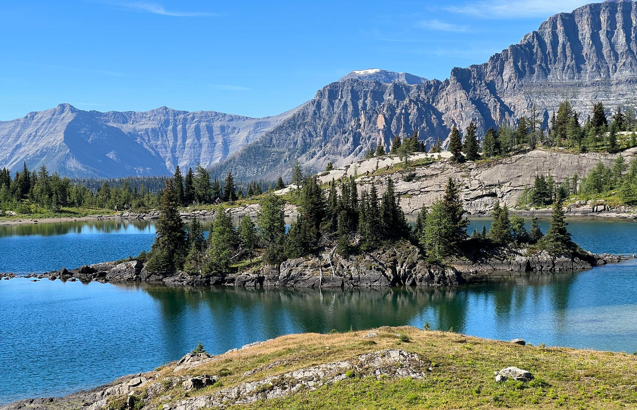
Easy hiking trails in the Rocky Mountains traverse a landscape shaped by ancient glaciers, featuring diverse ecosystems from montane forests to alpine tundra. The region is characterized by majestic peaks, numerous alpine and subalpine lakes, and significant waterfalls. Hikers can explore dramatic valleys and observe varied natural features across different elevations.
Best easy hiking trails in the Rocky Mountains
- The most popular easy hiking route is Grassi Lake Trail – Canmore Nordic Centre Provincial Park, a 2.8 miles (4.5…
Last updated: August 5, 2026
4.7
(87)
847
hikers
4.48km
01:34
260m
260m
Easy hike. Great for any fitness level. Easily-accessible paths. Suitable for all skill levels.
4.6
(52)
429
hikers
3.72km
01:08
120m
120m
Easy hike. Great for any fitness level. Easily-accessible paths. Suitable for all skill levels.

Sign up for free
4.6
(29)
301
hikers
4.62km
01:04
120m
120m
Easy hike. Great for any fitness level. Easily-accessible paths. Suitable for all skill levels.
4.6
(50)
347
hikers
4.34km
01:21
170m
170m
Easy hike. Great for any fitness level. Easily-accessible paths. Suitable for all skill levels.
4.7
(263)
3,758
hikers
Easy hike. Great for any fitness level. Easily-accessible paths. Suitable for all skill levels.
4.9
(24)
184
hikers
2.43km
00:42
60m
60m
Easy hike. Great for any fitness level. Easily-accessible paths. Suitable for all skill levels.
4.7
(34)
355
hikers
6.51km
01:47
100m
100m
Easy hike. Great for any fitness level. Easily-accessible paths. Suitable for all skill levels.
4.6
(21)
211
hikers
3.77km
01:02
60m
60m
Easy hike. Great for any fitness level. Easily-accessible paths. Suitable for all skill levels.
4.7
(26)
257
hikers
2.74km
00:43
20m
20m
Easy hike. Great for any fitness level. Easily-accessible paths. Suitable for all skill levels.
4.6
(24)
141
hikers
5.25km
01:25
70m
70m
Easy hike. Great for any fitness level. Easily-accessible paths. Suitable for all skill levels.
Get access to more routes and recommendations from other explorers.
Sign up for free
Already have an account?
Our route recommendations are based on thousands of hikes, rides, and runs completed by other people on komoot.
Start today with a free account
Your next adventure awaits.
Login or Signup
Popular around Rocky Mountains
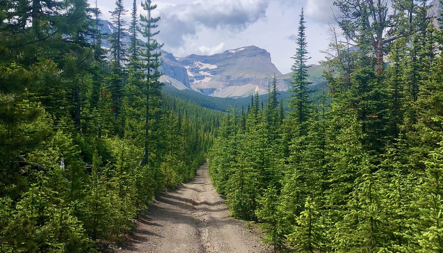
Run the Rockies – mountain range fastpack #5

Canada by train – scenic hikes from Western stations
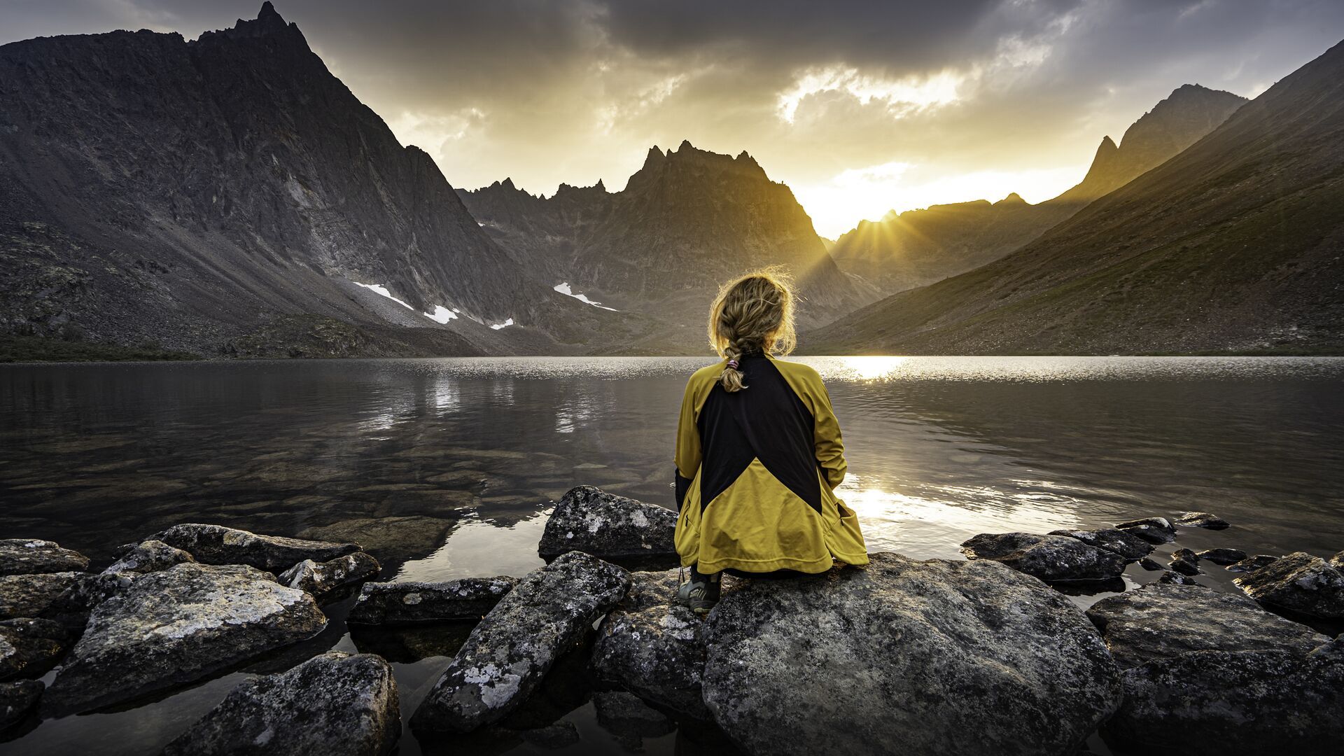
The longest footpath in the world – Trans Canada Trail
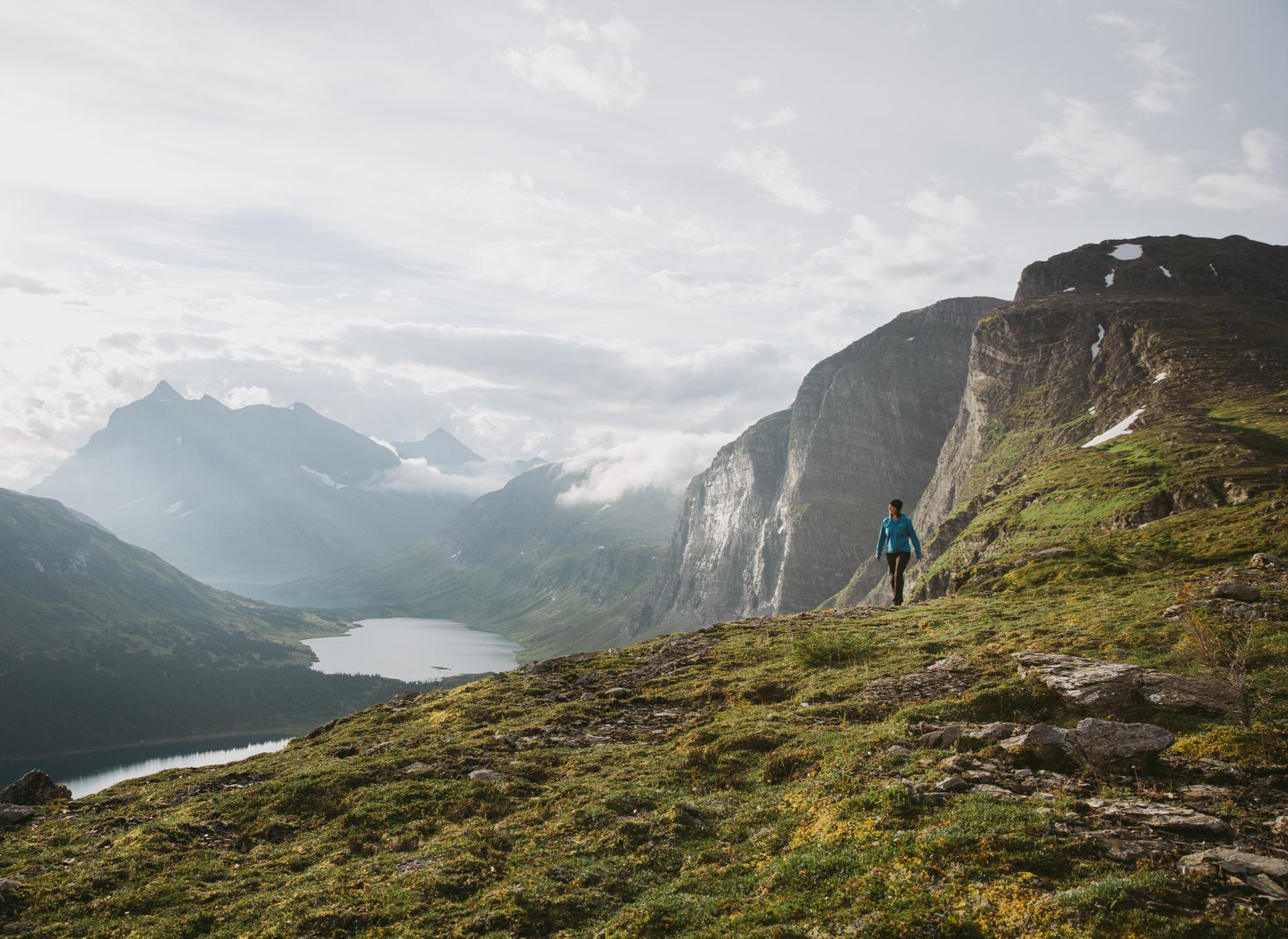
The Great Wilderness – hiking in the vastness of British Columbia
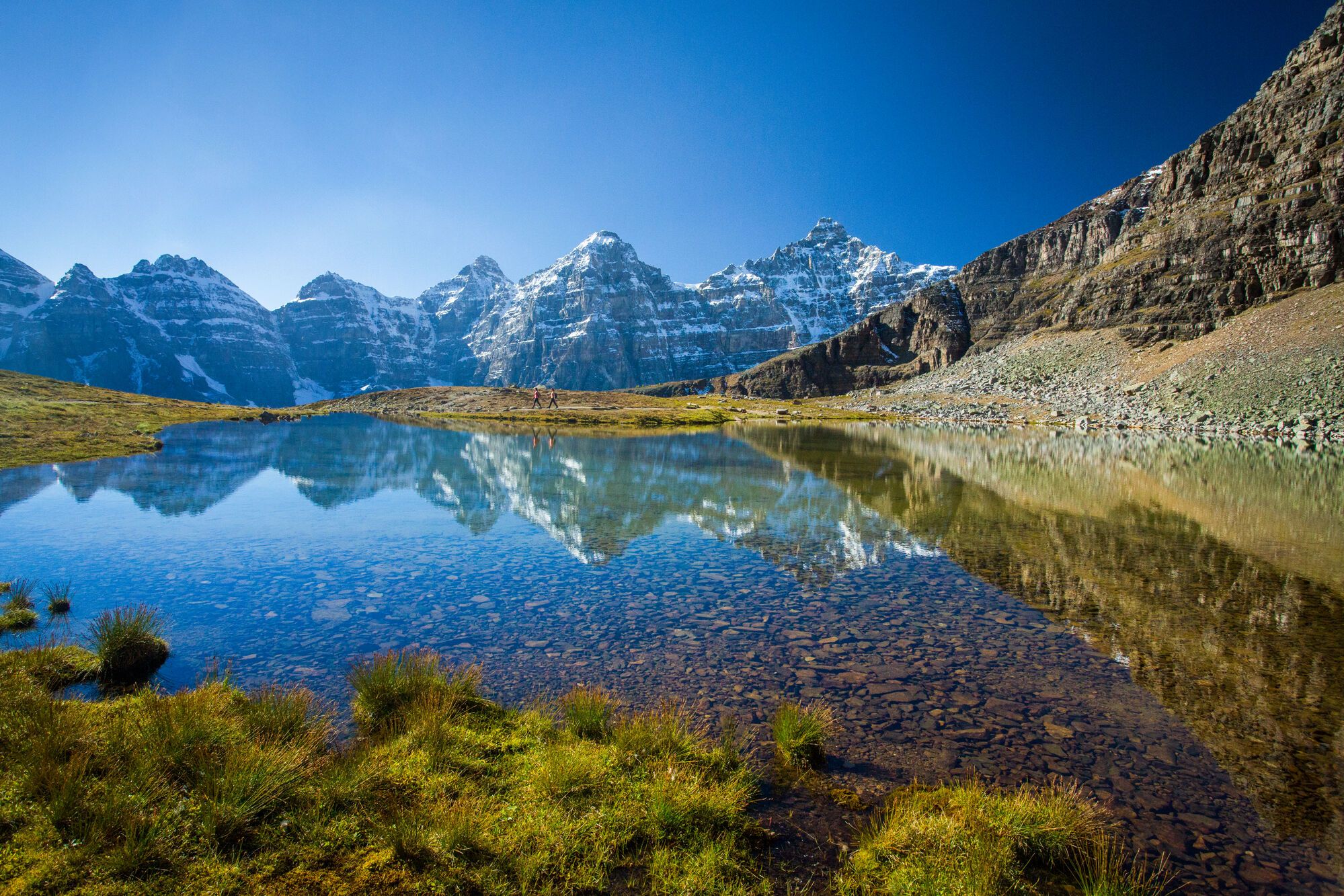
Spectacular road trip hikes – discover Calgary and Southern Alberta
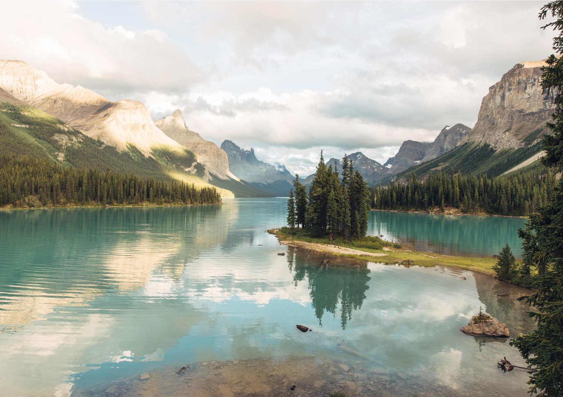
Waterfalls and wild lakes – hiking in Northern Alberta and Jasper
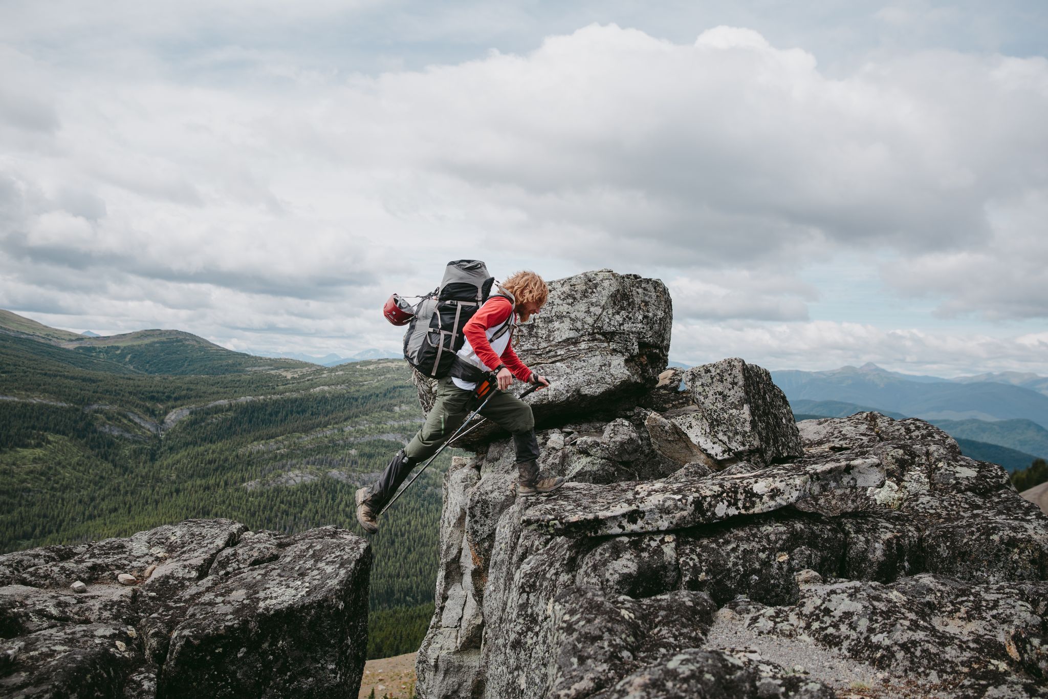
The Great Wilderness – a multi-day route across British Columbia
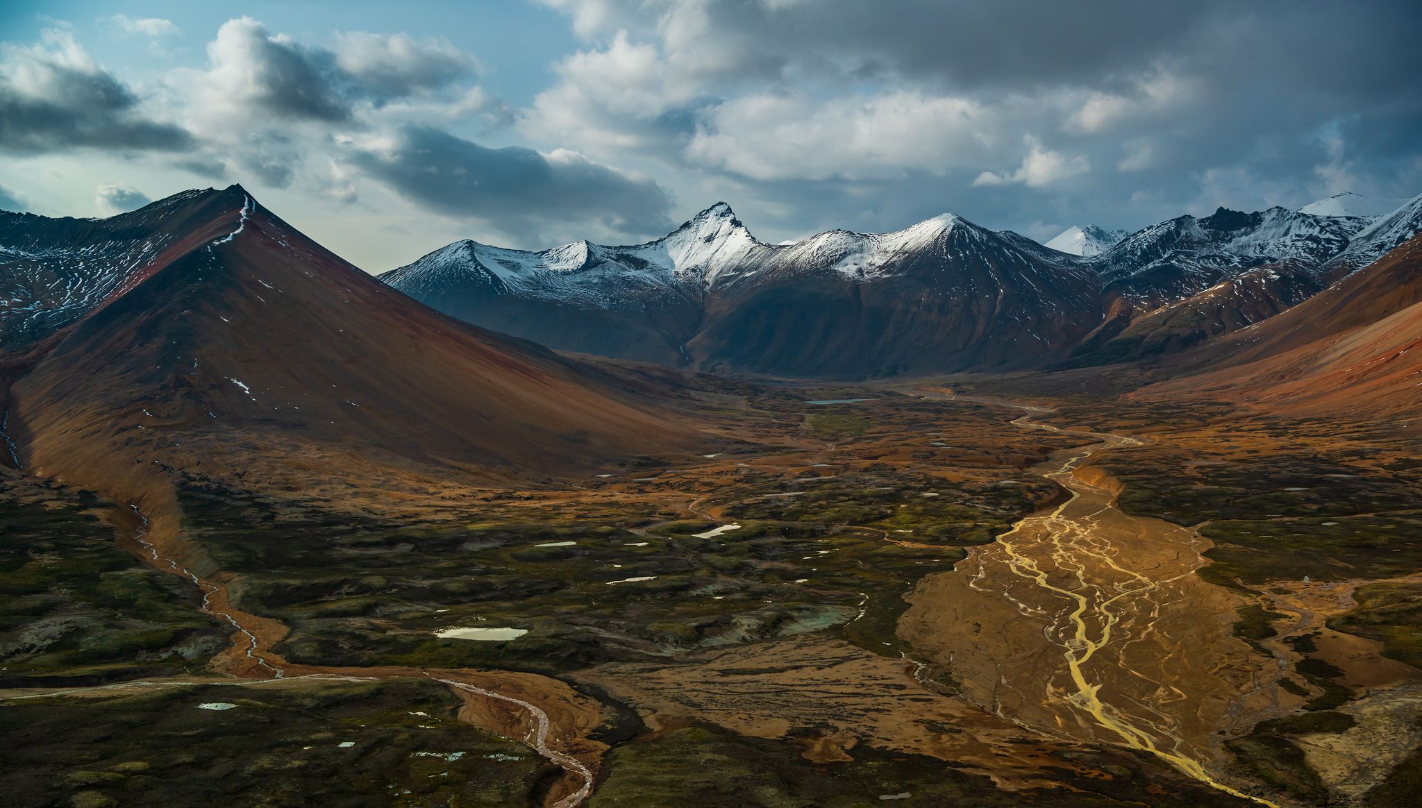
The Great Wilderness – hiking adventures in vast British Columbia
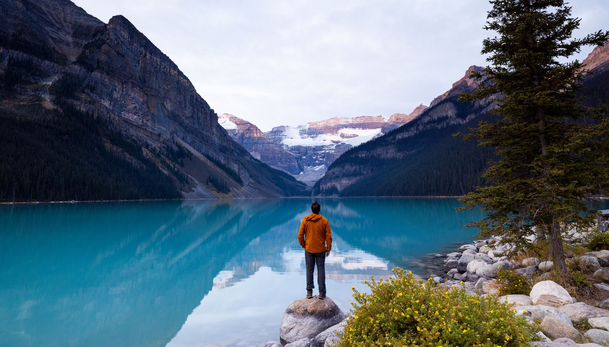
Hiking in Alberta – explore nature, discover indigenous culture
Great Divide Trail – Section A to E: Waterton to Maligne Lake
Other adventures in the Rocky Mountains


Tips from the Community

Stretching for twenty-two kilometres beneath a backdrop of rugged peaks, Maligne Lake is the largest natural lake in the Canadian Rockies. Fed by glaciers and snowmelt from the surrounding mountains, its deep blue waters are famous for their clarity and dramatic setting. While many visitors experience the lake from the shoreline or by boat, this section offers a quieter perspective, with views across the water toward the mountains that define one of Jasper National Park's most iconic landscapes.
0
0
The Great Divide Trail stretches for more than 1,100 kilometres through the Canadian Rockies, linking remote valleys, mountain passes, and wilderness areas from Waterton Lakes to Kakwa Lake. Near Maligne Lake, the trail emerges from the rugged and isolated Maligne Valley before joining the more established trail network of Jasper National Park. This section offers a rare combination of backcountry solitude and spectacular mountain scenery, with Maligne Lake marking one of the most memorable points along the entire route.
0
0

Hochimini Trail is a narrow singletrack that winds between Pyramid Lake and Patricia Lake through forest, lakeshore sections, and wetland habitat within the Pyramid Bench trail network. The route is a mix of short climbs, roots, and rocks, with quieter stretches near Hochimini Slough, and intermittent lake views. Popular with hikers, runners, and mountain bikers, the trail has a more natural, less developed feel than some of the area’s wider multi-use paths, and is a great way to explore the beautiful lakeside landscape.
0
0
Patricia Lake is quieter and less developed than the adjacent Pyramid Lake, with calm water and a more natural shoreline setting. The lake is known for its connection to the secretive Second World War “Project Habbakuk,” when a prototype aircraft carrier made of ice and wood pulp was tested here, with its remnants still resting underwater. Surrounded by walking trails and beautiful mountain scenery, this elevated spot along the trail is a peaceful place to enjoy the view.
0
0
Rising high above Jasper with its distinct pyramid-shaped peak, Pyramid Mountain is one of the most recognizable landmarks in the park. There are several great viewpoints - here, further along the trail, and around Pyramid and Patricia lakes of this beautiful mountain, framed by the surrounding forest and foothills. The changing light and weather give it a different character throughout the day, making it one of the area’s most photographed views.
0
0
This is a beautiful, peaceful alpine lake in Jasper National Park known for its small forested islands and scenic shoreline. There are walking paths, picnic areas, and a footbridge to Pyramid Island, making it a popular place for family outings, paddling, and watching the changing light move across the surrounding peaks, which often reflect in the water. Despite being only minutes from the town of Jasper, the lake feels quiet and remote, especially in the early morning or evening.
0
0

This trail starts close to the Icefields Parkway and offers a bit of a longer hike compared to the short loop trail from the parking area near Sunwapta Lake. The extra effort is worth it as you'll have great views of the mountains and Columbia Icefields the entire way.
0
0

About an hour up and 45 mins down. Beautiful views!
0
0
Frequently Asked Questions
What defines an easy hiking trail in the Rocky Mountains?
Easy hiking trails in the Rocky Mountains typically feature well-maintained paths with minimal elevation gain, making them suitable for most fitness levels. They often range from 2 to 5 miles (3 to 8 km) in length and can be completed in 1 to 2 hours. These trails allow you to experience the region's stunning scenery without significant physical challenge.
How many easy hiking trails are available in the Rocky Mountains?
The Rocky Mountains offer a vast network of trails, with over 300 easy hiking routes available. In total, there are more than 770 hiking tours across all difficulty levels in the region.
Are there easy trails that feature waterfalls in the Rocky Mountains?
Yes, several easy trails lead to beautiful waterfalls. For example, the Johnston Canyon Waterfalls – Upper Johnston Falls loop from Lower Falls offers views of multiple waterfalls along a canyon with catwalks. Another option is Troll Falls, a popular easy route to a scenic cascade.
Which easy trails are suitable for families with children?
Many easy trails are family-friendly due to their manageable distances and gentle terrain. The Lake Annette Loop is a great option, offering a pleasant stroll around a picturesque lake. The Grassi Lake Trail is also popular with families, leading to vibrant turquoise waters.
What kind of wildlife can I expect to see on easy hikes in the Rocky Mountains?
The Rocky Mountains are rich in wildlife. On easy trails, you might spot elk, deer, bighorn sheep, and various bird species. Keep an eye out for marmots in higher elevations. Remember to maintain a safe distance and never feed wild animals.
Are there easy loop trails in the Rocky Mountains?
Yes, many easy trails are designed as loops, offering varied scenery without retracing your steps. The Emerald Lake loop from Emerald Lake is a beautiful example, circling a stunning alpine lake. The Lake Annette Loop is another accessible option.
What natural features or landmarks can I see along easy hiking trails?
Easy trails often lead to stunning natural features. You can explore glacial valleys, pristine alpine and subalpine lakes like Grassi Lakes or Lake Annette, and impressive waterfalls. Many trails also offer panoramic views of majestic peaks and diverse ecosystems, from montane forests to alpine tundra. Consider visiting viewpoints like View of Mount Rundle or View of the Canmore Nordic Centre Provincial Park.
What is the best time of year for easy hikes in the Rocky Mountains?
The best time for easy hikes is generally from late spring to early fall (June to September) when trails are mostly snow-free and weather conditions are mild. However, some lower-elevation trails may be accessible earlier or later in the season. Always check local conditions before heading out.
Do I need a permit for easy hikes in the Rocky Mountains?
Access to some areas, particularly within national parks like Rocky Mountain National Park, may require a park pass or specific permits, especially during peak seasons or for certain trailheads. It's advisable to check the official park websites, such as nps.gov/romo, for the most current information on entry requirements and permits before your visit.
Are there towns with amenities near easy hiking trails in the Rocky Mountains?
Yes, towns like Estes Park, located near Rocky Mountain National Park, offer a range of amenities including cafes, restaurants, and accommodation. These towns serve as excellent bases for exploring the surrounding easy hiking trails and provide convenient access to supplies and services.
What do other hikers enjoy the most about hiking in the Rocky Mountains?
The area is highly rated by the komoot community, with an average score of 4.7 stars from over 6,800 reviews. Reviewers often praise the breathtaking mountain scenery, the pristine alpine lakes, and the well-maintained trails that make exploring accessible for all skill levels. The chance to spot diverse wildlife is also a frequently mentioned highlight.
Can I reach easy hiking trails using public transport?
While many trailheads in the Rocky Mountains are best accessed by car, some popular areas, particularly within national parks, offer shuttle services during peak seasons. For example, Rocky Mountain National Park provides a free shuttle system to access various trailheads. It's recommended to check the specific park's transportation options in advance.
Are there easy trails that lead to scenic viewpoints?
Absolutely. Many easy trails offer rewarding views without strenuous climbs. The Peyto Lake trail, for instance, leads to an iconic viewpoint overlooking the turquoise lake. The Tunnel Mountain Trail also provides excellent panoramic views of Banff and the surrounding mountains.
Most popular routes in the Rocky Mountains
Most popular attractions in the Rocky Mountains

Get inspired with the komoot mobile app


Explore more
Browse the best Hikes in other regions.
