The best traffic-free bike rides in the Rocky Mountains
4.3
(9)
165
riders
15
rides
Gravel biking in the Rocky Mountains offers an extensive network of no traffic gravel bike trails through dramatic landscapes and diverse ecosystems. The region is characterized by majestic peaks, expansive meadow valleys, evergreen forests, and pristine mountain lakes. These varied habitats provide a range of terrains, from smooth gravel roads to more technical paths, suitable for different skill levels.
Best no traffic gravel bike trails in the Rocky Mountains
- The most popular no traffic gravel bike trail is View of Rundle Forebay loop from Canmore Nordic Centre Downtown Bound, a 54.2 miles (87.3 km) difficult trail that takes 7 hours 3 minutes to complete. This route offers extensive views of the Rundle Forebay and the surrounding mountain scenery near Canmore.
- Another top favourite among local gravel bikers is Bow Falls – Bow River Trail loop from Canmore, a difficult 35.0 miles (56.3 km) path. This trail follows the Bow River, providing scenic views of the water and the mountainous backdrop.
- Local gravel bikers also love the Montane Nordic Trails – Morrissey Road loop from Fernie, a 35.5 miles (57.1 km) trail leading through forested areas and offering varied terrain, often completed in about 4 hours 12 minutes.
- Gravel biking in the Rocky Mountains is defined by towering mountain ranges, deep valleys, and dense forests, with routes offering both challenging climbs and more accessible paths. The network provides options for different ability levels, from demanding multi-hour rides to shorter, less strenuous excursions.
- The routes in Rocky Mountains are highly rated by the komoot community with an average score of 4.0 stars from more than 6 reviews. More than 150 gravel bikers have used komoot to explore Rocky Mountains's varied terrain.
Last updated: October 29, 2026
18
riders
89.8km
07:14
1,420m
1,420m
Hard gravel ride. Very good fitness required. Mostly paved surfaces.
5
riders
55.9km
04:19
820m
820m
Hard gravel ride. Very good fitness required. Mostly paved surfaces.

4.0
(2)
17
riders
57.1km
04:10
1,260m
1,260m
Hard gravel ride. Very good fitness required. Mostly paved surfaces.
5.0
(1)
8
riders
66.0km
06:38
890m
890m
Hard gravel ride. Very good fitness required. Mostly paved surfaces.
18
riders
27.4km
02:08
480m
480m
Hard gravel ride. Very good fitness required. Mostly paved surfaces.
Get access to more routes and recommendations from other explorers.
Already have an account?
Our route recommendations are based on thousands of hikes, rides, and runs completed by other people on komoot.
Start today with a free account
Your next adventure awaits.
Popular around Rocky Mountains
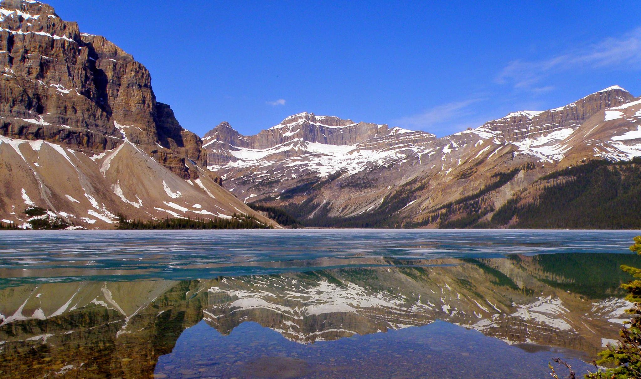
Great Divide Mountain Bike Route — Cycling the spine of a continent
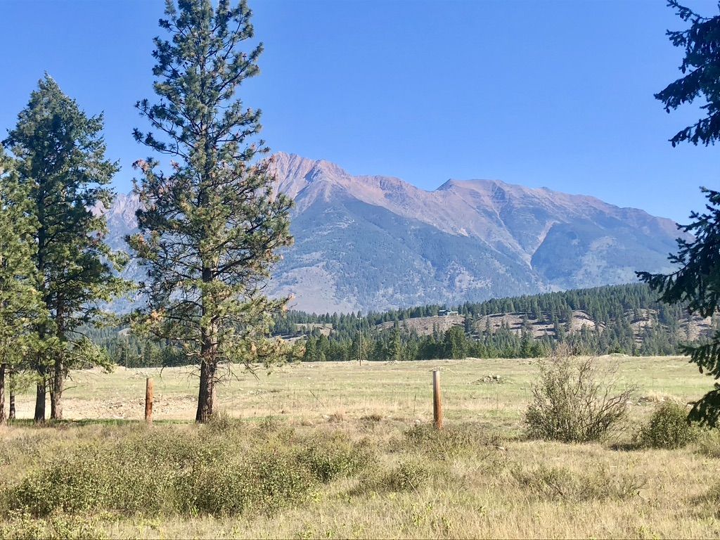
Cross Canada Ride — heading east for 6,800km
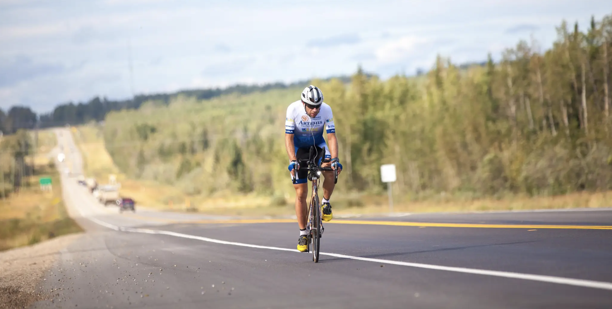
Around the World in 80 Days
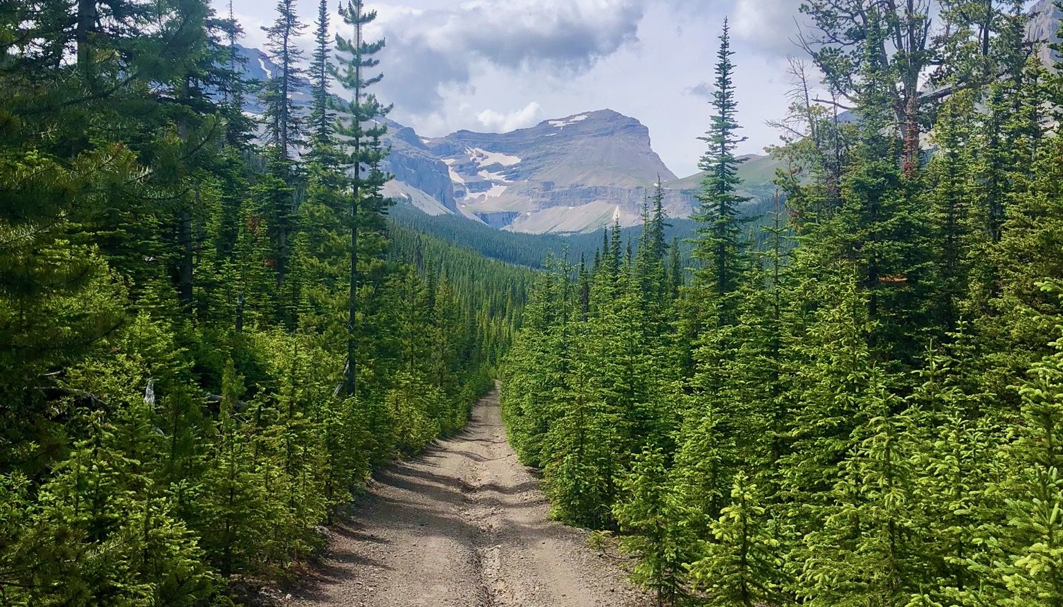
Run the Rockies – mountain range fastpack #5
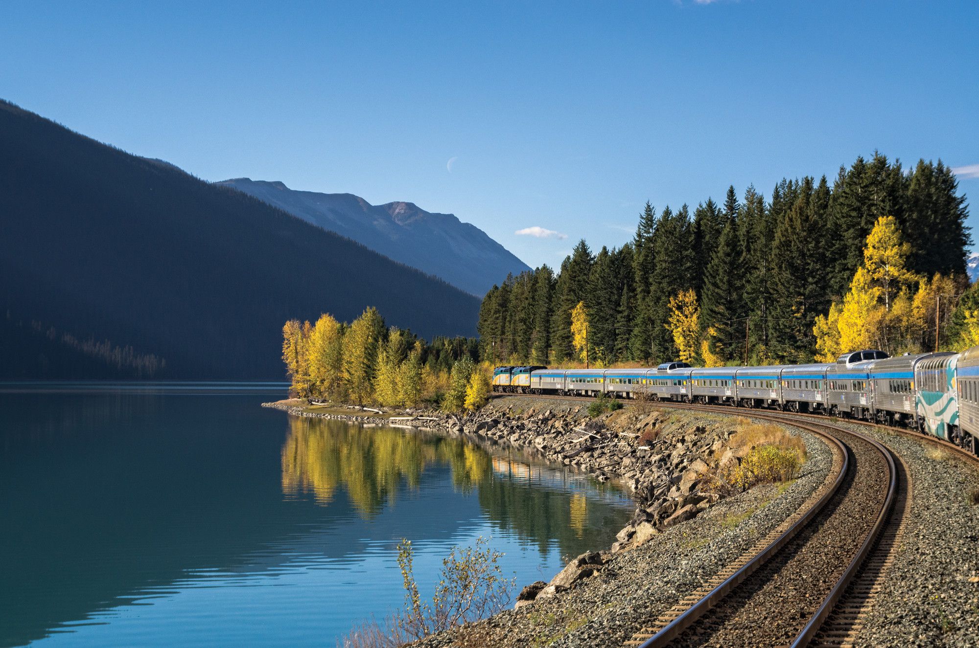
Canada by train – scenic hikes from Western stations
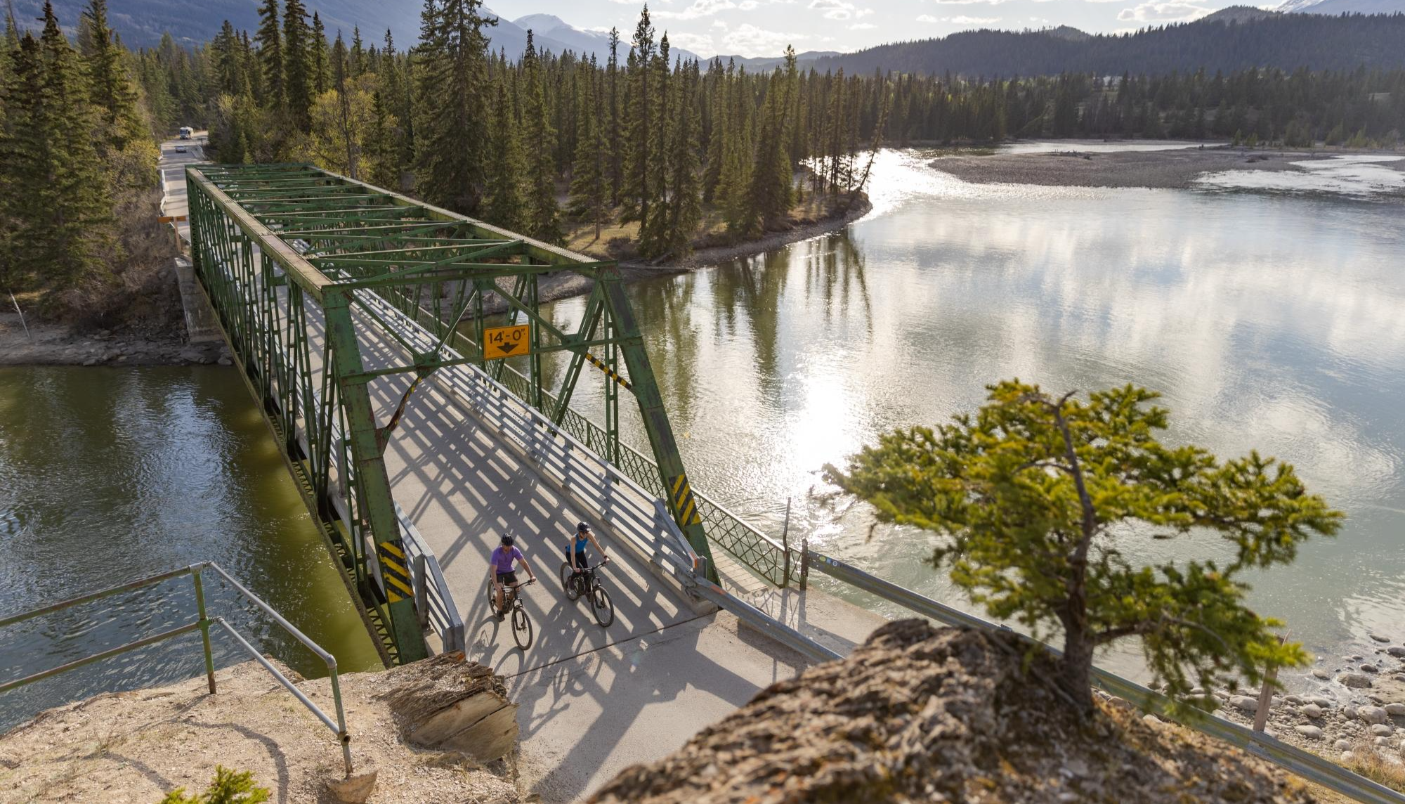
City, forest, river - explore diverse Alberta by bike
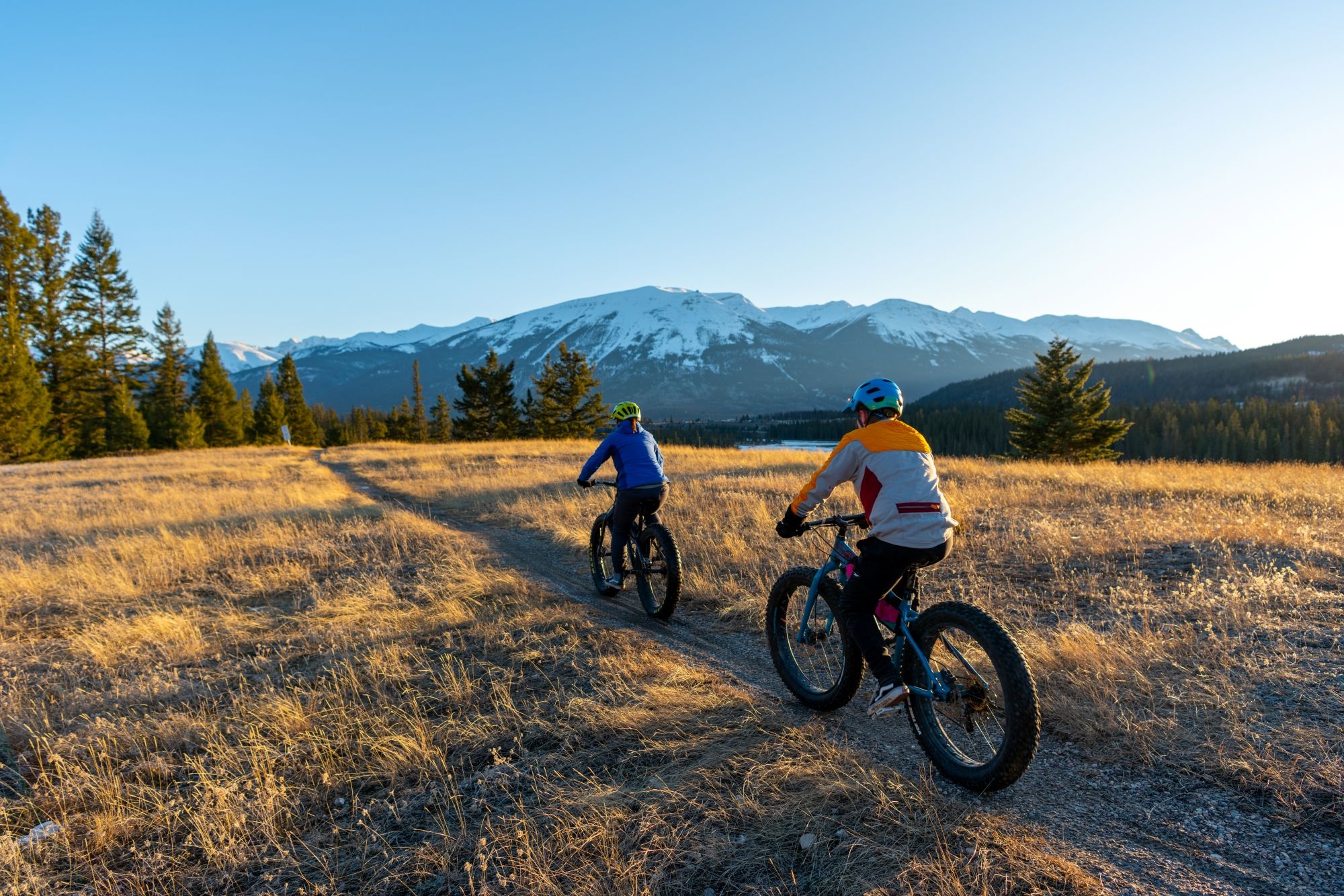
Hop on the trails – mountain biking & fat biking in Alberta
The longest footpath in the world – Trans Canada Trail
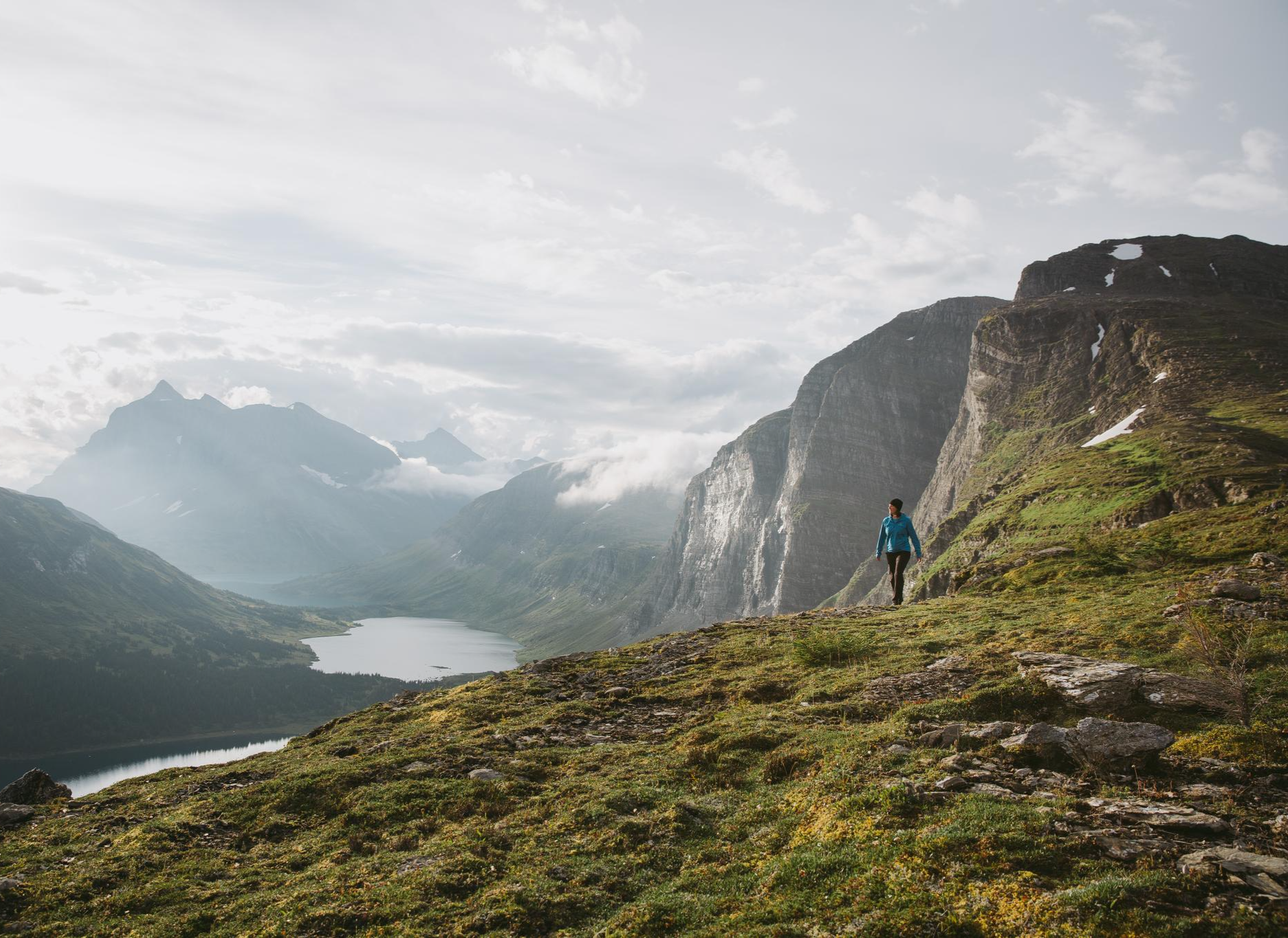
The Great Wilderness – hiking in the vastness of British Columbia
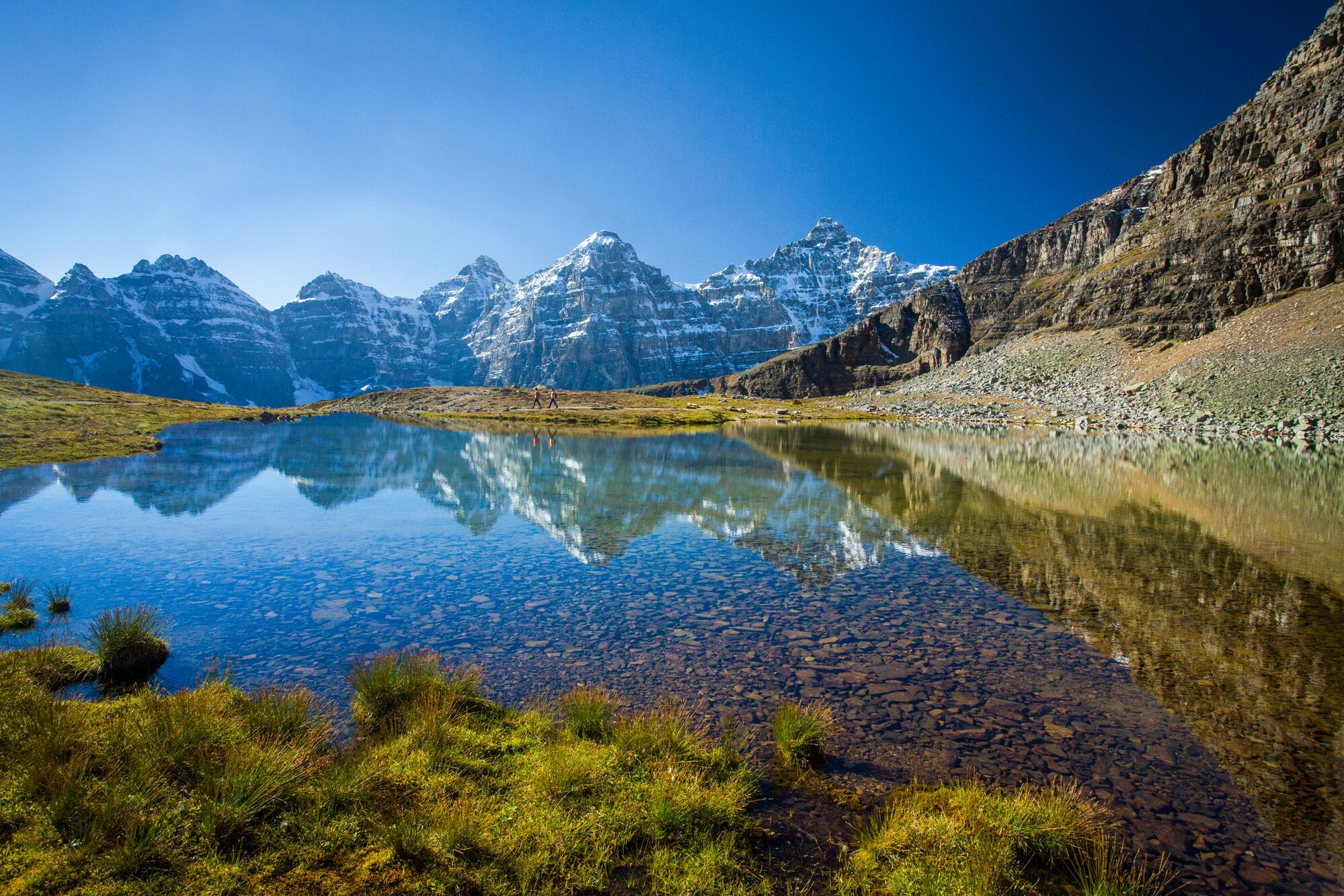
Spectacular road trip hikes – discover Calgary and Southern Alberta
Other adventures in the Rocky Mountains


Tips from the Community

The southern end of the Town Loop trail ends here on Pine Avenue with a very nice view of Coal Creek. From here there is a path that continues to the east connecting to the Montane Trails.
0
0

This trailhead is the main parking area for access to the Fernie Rail Trail and Lizard Creek Trail. There is signage with trail information, a small parking area, a pit toilet, and a picnic table, making it an easy place to begin exploring the Elk Valley.
0
0
This spot is where Fernie Rail Trail ends, and Old Growth Trail begins. There is a pit toilet and a small parking area here, but no water, so plan your trip accordingly. If you’re looking to extend your journey from Fernie Rail Trail, the Old Growth Trail leads deeper into Fernie Nature Park to Island Lake, with towering western red cedars and lush forest, creating a beautiful change of scenery.
0
0

Get Out is a smooth, confidence-building introduction to singletrack riding, with gentle terrain and enough twists to make the ride feel playful but not intimidating. Paired with Get In, it creates an easy, convenient loop starting near the Nordic Centre.
0
0

Fernie is a little mountain town, home to year-round outdoor activity. In winter there's the Fernie Alpine Resort for skiing and snowboarding, and in summer there's downhill biking, hiking, and resort activities. Fernie has a population under 10,000 people, and it has a charming downtown to explore.
0
0

Coal Creek flows down from the mountains outside of Fernie before emptying into the Elk River. There's a ghost-town of the same name along its stretch that was abandoned after the local mine closed in the 1950s.
0
0

This is a beautiful, gravel trail running alongside the Rundle Mountain Range from Canmore to Banff. A relatively easy ride, this trail is shared by hikers and bikers and offers stunning alpine views.
1
0

Frequently Asked Questions
How many no-traffic gravel bike trails are available in the Rocky Mountains?
This guide features 13 carefully selected no-traffic gravel bike trails in the Rocky Mountains. These routes offer a range of experiences, from moderate to challenging, ensuring a rewarding ride away from vehicles.
What is the best time of year for gravel biking in the Rocky Mountains?
The prime season for gravel biking in the Rocky Mountains is generally from late spring to early autumn (May to October). During this period, trails are typically free of snow, and the weather is most favorable. However, conditions can vary significantly with elevation, so always check local forecasts and trail conditions before heading out. Some lower elevation trails might be accessible earlier or later in the season.
Are there any family-friendly no-traffic gravel bike trails in the Rocky Mountains?
While many of the routes in this guide are rated as difficult due to elevation gain and distance, the Rocky Mountains do offer some sections suitable for families, particularly around areas like Cherry Creek State Park or Waterton Canyon in Colorado, which feature gentler slopes and protected paths. For specific routes in this guide, consider shorter sections or those with less elevation if riding with children. Always check the route details for distance and elevation before planning a family outing.
What kind of scenery and landmarks can I expect on these no-traffic gravel bike trails?
The Rocky Mountains offer truly spectacular scenery. You can expect majestic peaks, expansive meadow valleys, evergreen forests, and pristine mountain lakes. Many routes provide panoramic vistas and opportunities to spot wildlife like elk and bighorn sheep. Notable natural landmarks include stunning lakes such as Lake Louise and Moraine Lake, as well as impressive waterfalls like Athabasca Falls and Johnston Canyon Waterfalls.
Are there any loop routes among the no-traffic gravel bike trails?
Yes, several routes in this guide are designed as loops, offering a continuous journey without needing to retrace your steps. An example is the View of Rundle Forebay loop from Canmore Nordic Centre Downtown Bound, which provides a substantial ride with significant elevation gain. Another option is the Harold Chapman Bridge loop from Little Elbow Provincial Recreation Area.
What is the typical difficulty level of these no-traffic gravel bike trails?
Most of the no-traffic gravel bike trails featured in this guide are rated as difficult. This is primarily due to significant elevation gains and longer distances, often exceeding 40 kilometers. Riders should be prepared for challenging climbs and descents, making these routes best suited for experienced gravel cyclists with good fitness levels.
Can I find amenities like cafes or pubs near the trails in areas like Canmore or Fernie?
Yes, popular towns like Canmore and Fernie, which serve as starting points for several routes, offer a good range of amenities. After a ride, you can find cafes, pubs, and restaurants to refuel and relax. For example, the Bow Falls – Bow River Trail loop from Canmore starts and ends near town amenities.
What kind of wildlife might I encounter on these trails?
The Rocky Mountains are home to abundant wildlife. On these no-traffic trails, you have a good chance of spotting animals such as elk, bighorn sheep, moose, mule deer, and even black bears. Bird species like bald eagles and peregrine falcons are also common. Always maintain a safe distance and never feed wildlife.
Are there any trails that offer views of specific natural features like lakes or rivers?
Absolutely. Many routes are designed to showcase the region's stunning natural features. For instance, the Bow Falls – Bow River Trail loop from Canmore follows the Bow River, offering scenic views. Other trails will lead you past crystal-clear mountain lakes and offer glimpses of the Continental Divide.
What are some of the longer no-traffic gravel bike routes in the Rocky Mountains?
For those seeking longer adventures, routes like the View of Rundle Forebay loop from Canmore Nordic Centre Downtown Bound cover approximately 87 kilometers with significant elevation. Another substantial option is the Montane Nordic Trails – Morrissey Road loop from Fernie, which is around 57 kilometers long.
What do other gravel bikers enjoy most about these no-traffic trails?
The komoot community highly rates these trails, with an average score of 4.0 stars. Reviewers often praise the unparalleled natural beauty, the challenging yet rewarding climbs, and the peace of mind that comes from riding on routes free of vehicle traffic. The diverse landscapes, from alpine tundra to dense forests, are frequently highlighted as a major draw.
Most popular routes in the Rocky Mountains
Most popular attractions in the Rocky Mountains

Get inspired with the komoot mobile app


Explore more
Browse the best Gravel rides in other regions.
