The best walks and hikes around Miglionico
4.5
(779)
4,981
hikers
53
hikes
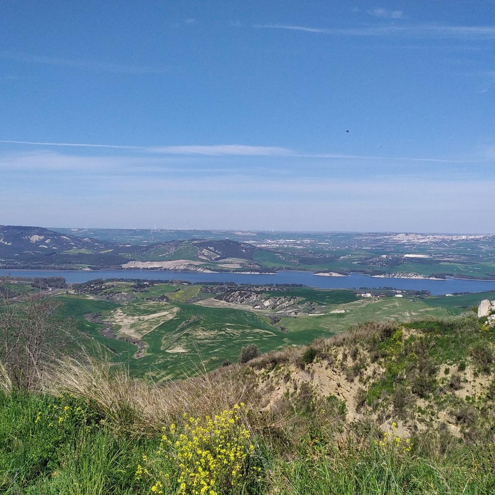
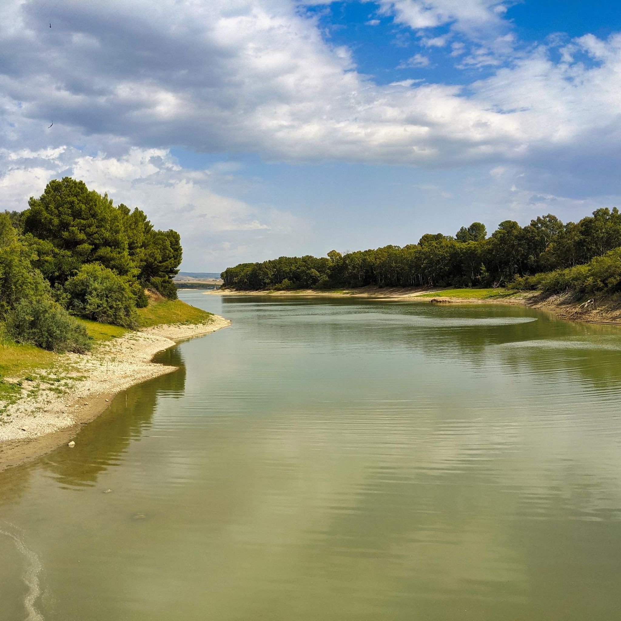
Hiking around Miglionico offers diverse routes through the Basilicata region of Southern Italy. The landscape is characterized by rolling hills, agricultural plains, and the presence of Lake San Giuliano, providing varied terrain for outdoor activities. The area features a mix of open countryside and river valleys, with moderate elevation changes. This region provides a range of hiking trails suitable for different experience levels.
Best hiking trails around Miglionico
- The most popular hiking route is Lake San Giuliano, a 9.8…
Last updated: October 11, 2026
7
hikers
15.8km
04:11
150m
150m
Moderate hike. Good fitness required. Mostly accessible paths. Sure-footedness required.
2
hikers
9.09km
02:47
320m
320m
Moderate hike. Good fitness required. Easily-accessible paths. Suitable for all skill levels.

4.4
(9)
45
hikers
Hard hike. Very good fitness required. Easily-accessible paths. Suitable for all skill levels.
4.0
(2)
15
hikers
Hard hike. Very good fitness required. Easily-accessible paths. Suitable for all skill levels.
4.0
(5)
9
hikers
Moderate hike. Good fitness required. Easily-accessible paths. Suitable for all skill levels.
Get access to more routes and recommendations from other explorers.
Already have an account?
Our route recommendations are based on thousands of hikes, rides, and runs completed by other people on komoot.
Start today with a free account
Your next adventure awaits.
Tips from the Community

Am schönsten ist der Blick von dem Panoramaweg jenseits der Schlucht.
3
0
This city is truly special and incomparable. When you consider that until the end of the 50s, people here still lived miserably in cave dwellings.
3
0

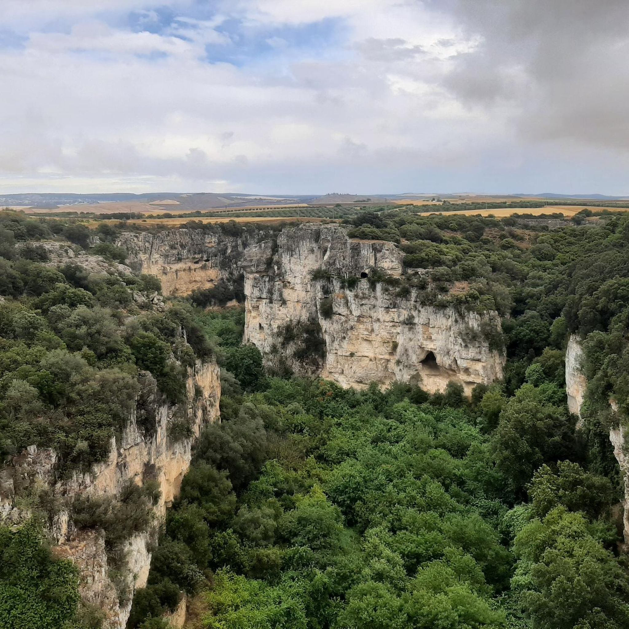
The San Nicola all' Ofra church is located south of Matera. It is one of the many ancient rock churches carved into the surrounding mountains. Perched on the edge of a valley, it offers an exceptional panoramic view of the Gravina gorges. Built on several levels connected by stone staircases, it houses ancient frescoes, notably a depiction of the Virgin and Child dating from 1839. Today, the site is largely deserted and visiting it requires caution but is certainly worth a look. It is accessed via the Contrada le Piane road, followed by a short walk.
0
0

Spectacular and picturesque view. The magic of the ancient districts of Matera, known as "Sassi"
1
0

one of the squares in the center of Matera
0
0
beautiful view of the Sassi
1
0
a church in an enchanting place
0
0

Unique place in the world!
1
0
Frequently Asked Questions
How many hiking trails are available around Miglionico?
There are over 50 hiking trails around Miglionico, offering a variety of options for different skill levels. This includes 22 easy routes, 27 moderate routes, and 4 more challenging trails.
Are there any easy hiking trails suitable for beginners or families in Miglionico?
Yes, Miglionico offers 22 easy hiking routes perfect for beginners or families. These trails typically feature gentle terrain and shorter distances. For a scenic and accessible option, consider the Lago di San Giuliano – Lago di San Giuliano loop from Parcheggio Clienti GrifoGas Carburanti, which is a moderate 5.6-mile (9.1 km) path with minimal elevation gain.
What are some good options for long-distance or challenging hikes in the Miglionico area?
For those seeking a longer and more challenging experience, Miglionico has several options. The Along the Cammino Materano – Path of the Cammino Materano loop from Masseria Passarelli is a demanding 18.2-mile (29.3 km) trail that takes approximately 8 hours 15 minutes to complete, leading through rural landscapes and historical paths.
Are there any circular hiking routes around Miglionico?
Yes, Miglionico features several excellent circular routes. A popular choice is the From Montescaglioso to Difesella – loop tour, a moderate 5.6-mile (9.1 km) path with varied terrain. Another option is the Lago di San Giuliano – Lago di San Giuliano loop from Parcheggio Clienti GrifoGas Carburanti, offering beautiful lake views.
What is the best time of year to go hiking in Miglionico?
The best time to hike in Miglionico is typically during spring (April to June) and autumn (September to October). During these seasons, the weather is mild and pleasant, making for comfortable hiking conditions. Summers can be very hot, and while winters are generally mild, some trails might be muddy after rain.
Are there any interesting natural monuments or landmarks to see along the hiking trails?
Yes, the Miglionico area is rich in natural and historical landmarks. You can explore sites like the La Palomba Sculpture Park or the unique Monterrone Rock and the Churches of Santa Maria de Idris and San Giovanni. The region is also known for its fascinating cave systems, such as the Matera Cave Landscape.
What do other hikers enjoy most about the trails in Miglionico?
The hiking trails around Miglionico are highly rated by the komoot community, with an average score of 4.5 stars from over 600 reviews. Hikers often praise the diverse landscape, including the scenic lake views, agricultural plains, and river valleys. The variety of routes catering to different ability levels is also frequently highlighted.
Are the hiking trails around Miglionico dog-friendly?
Many trails in the Miglionico area are suitable for dogs, especially those in open countryside or along Lake San Giuliano. However, it's always recommended to keep dogs on a leash, especially near livestock or in protected natural areas. Always carry water for your pet and check specific trail regulations if available.
Where can I find parking for hiking trails near Miglionico?
Parking availability varies by trailhead. For routes around Lake San Giuliano, you can often find designated parking areas near the lake, such as the Parcheggio Clienti GrifoGas Carburanti mentioned in one of the loop tours. For trails starting from towns like Montescaglioso, look for public parking in the village centers. It's advisable to check the starting point of your chosen route on komoot for specific parking suggestions.
Are there any hikes that offer viewpoints or panoramic vistas?
Given Miglionico's landscape of rolling hills and its proximity to Lake San Giuliano, many trails offer excellent viewpoints. Routes that traverse higher ground or circle the lake, such as the Lake San Giuliano trail, provide expansive views of the water and surrounding countryside.
What kind of terrain can I expect on Miglionico's hiking trails?
The terrain around Miglionico is quite varied. You can expect a mix of rolling hills, agricultural plains, and paths along river valleys and Lake San Giuliano. While some routes are relatively flat, others, particularly those leading through the countryside like the From Montescaglioso to Difesella – loop tour, include moderate ascents and descents.
Most popular routes around Miglionico
Most popular attractions around Miglionico

Get inspired with the komoot mobile app


Explore more
Browse the best Hikes in other regions.
