Fuentes Carrionas Y Fuente Cobre - Montaña Palentina
Fuentes Carrionas Y Fuente Cobre - Montaña Palentina
The 16 Most Amazing Peaks in Fuentes Carrionas Y Fuente Cobre - Montaña Palentina
Best mountain peaks in Fuentes Carrionas Y Fuente Cobre - Montaña Palentina are found within a natural park in northern Palencia province, Spain. This region features a mountainous landscape with peaks exceeding 2,500 meters. The area is characterized by varied terrain including needles, cliffs, ravines, deep valleys, and glacial lakes. It serves as a refuge for diverse wildlife and is the source of the Carrión and Pisuerga rivers.
Best mountain peaks in Fuentes Carrionas Y Fuente Cobre - Montaña Palentina
…Last updated: May 19, 2026
Piedrasluengas Viewpoint
Highlight • Viewpoint
Translated by Google •
Tip by

Tres Mares Peak
Highlight • Summit
Translated by Google •
Tip by

Sign up now to discover places like this
Get recommendations on the best single tracks, peaks, & plenty of other exciting outdoor places.
Sign up for free
Peña Labra
Highlight • Summit
Translated by Google •
Tip by
Curavacas (2524m)
Highlight • Summit
Translated by Google •
Tip by

Espigüete Summit (2,454 m)
Highlight • Summit
Translated by Google •
Tip by
Sign up for free to discover even more peaks in Fuentes Carrionas Y Fuente Cobre - Montaña Palentina.
Sign up for free
Already have an account?
Start today with a free account
Your next adventure awaits.
Login or Signup
Popular around Fuentes Carrionas Y Fuente Cobre - Montaña Palentina

TransCantabrica – Extreme mountain biking in northern Spain
Hiking in Fuentes Carrionas Y Fuente Cobre - Montaña Palentina
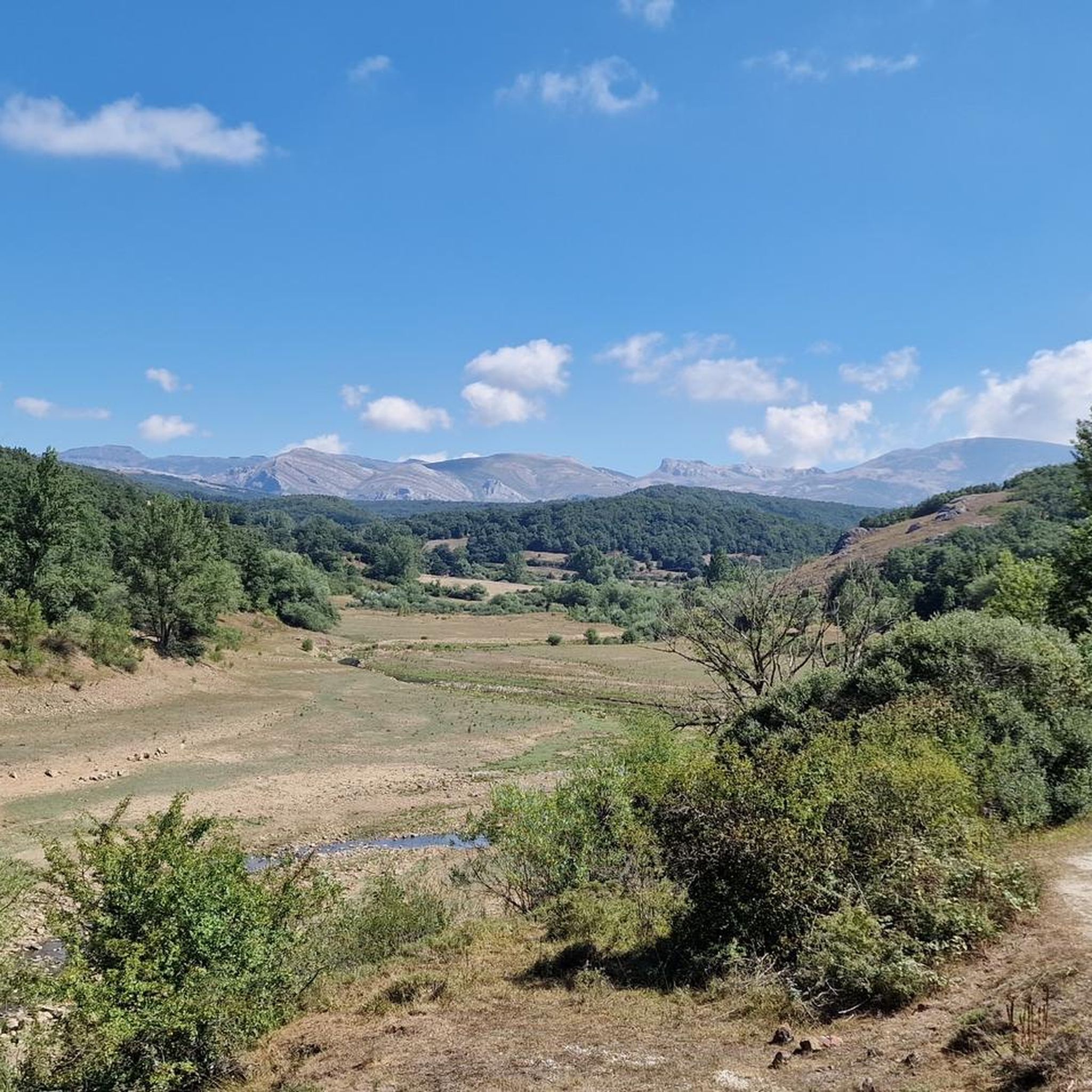
MTB Trails in Fuentes Carrionas Y Fuente Cobre - Montaña Palentina
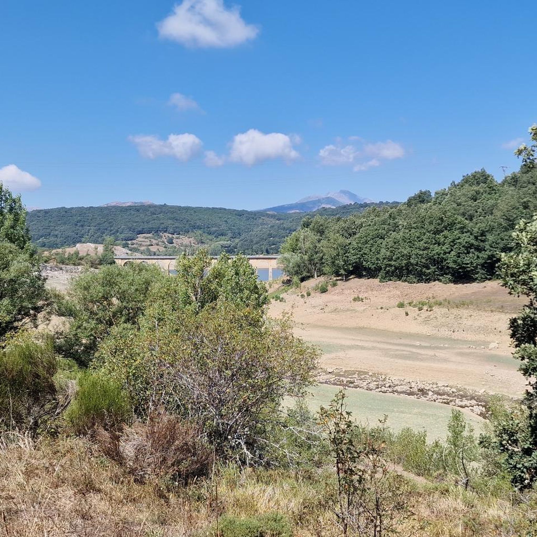
Cycling in Fuentes Carrionas Y Fuente Cobre - Montaña Palentina
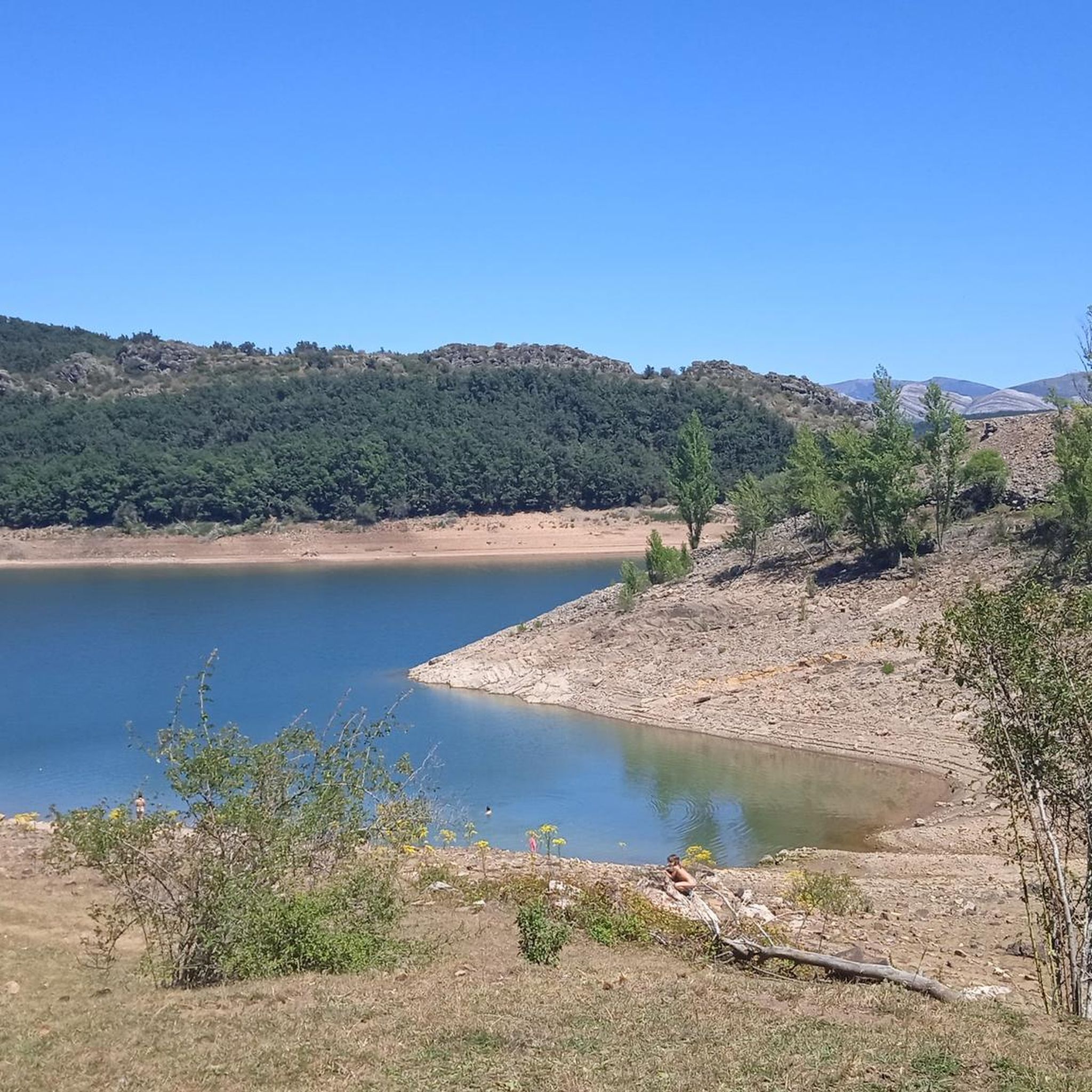
Running Trails in Fuentes Carrionas Y Fuente Cobre - Montaña Palentina
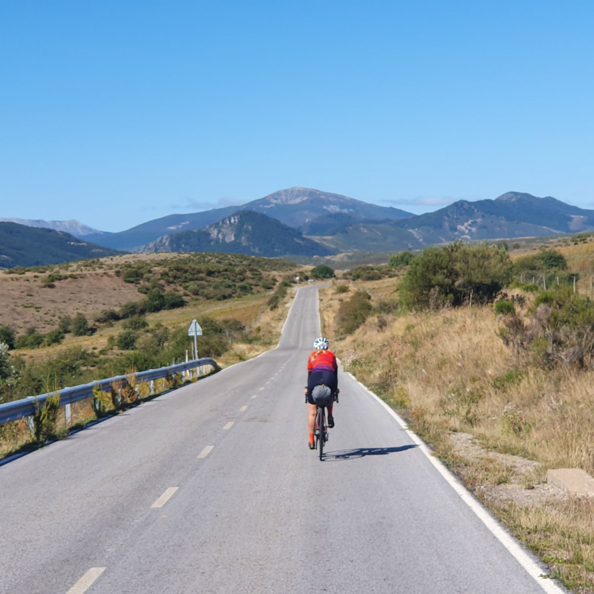
Road Cycling Routes in Fuentes Carrionas Y Fuente Cobre - Montaña Palentina

Gravel biking in Fuentes Carrionas Y Fuente Cobre - Montaña Palentina

Mountain Hikes in Fuentes Carrionas Y Fuente Cobre - Montaña Palentina
Other adventures in Fuentes Carrionas Y Fuente Cobre - Montaña Palentina

Tips from the Community

Climbing Curavacas is an exciting experience for mountain lovers. There are several routes available, such as Callejo Grande and Senda del Notario, which offer different levels of difficulty. In addition, in the area you can find glacial lagoons, such as Pozo Curavacas and Pozos del Ves, which add a special touch to the landscape.
5
0

Spectacular views of the eastern massif of Picos de Europa
0
0

Beautiful road from Puetenansa up to there for road bikes, less traffic
1
0

Second highest summit of the Cantabrian mountain range and the highest in the province of Palencia. It offers impressive views of the famous Curavacas Well, the Curruquilla peak and many other emblems of the province.
1
1
Palencia summit located in the town of Cardaño de Abajo which can be ascended by several routes, although several of them present a fairly high technical difficulty.
1
1
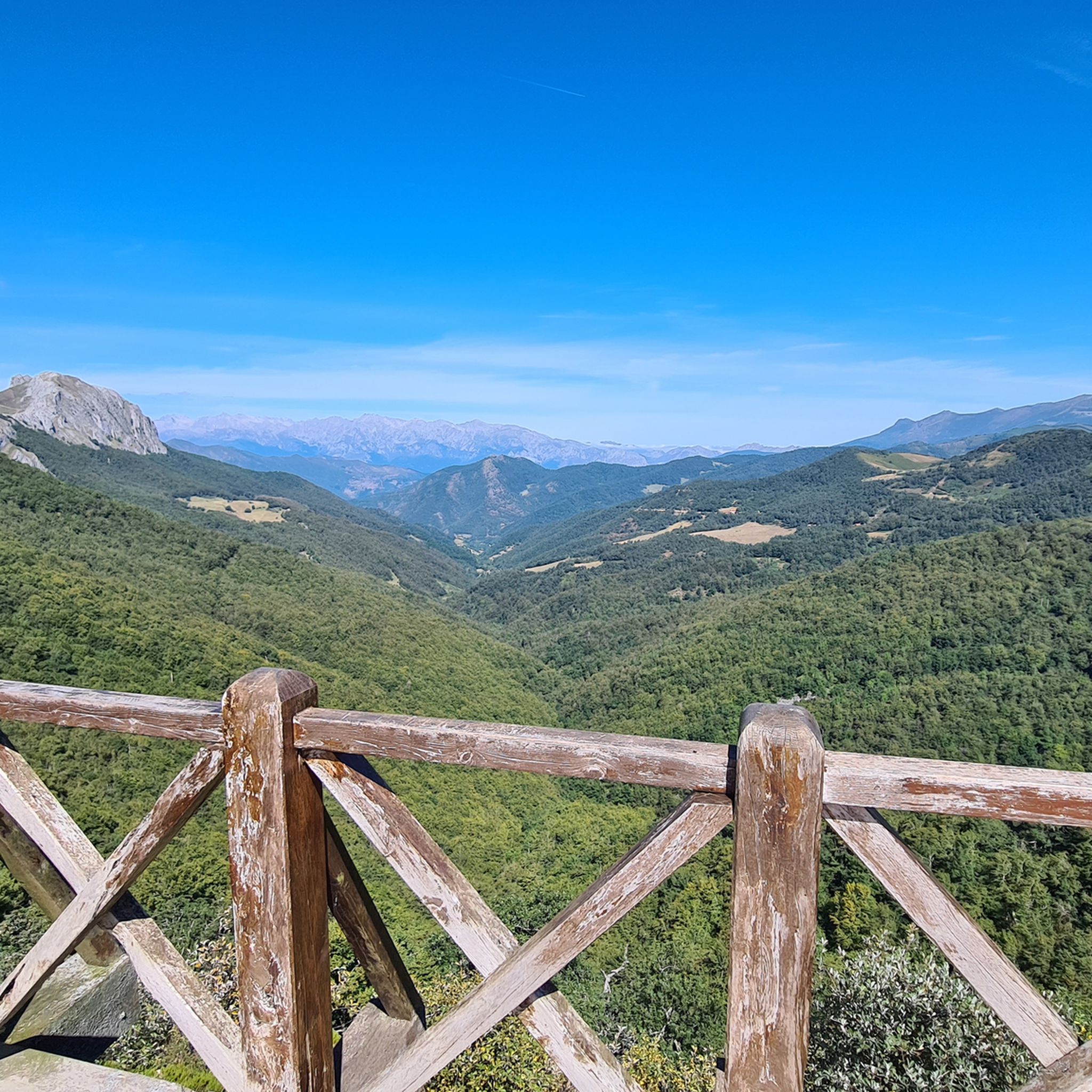
Viewpoint located in the homonymous hill at more than 1300 meters. From there you can see the Picos de Europa, Peña Labra, the Tres Mares peak, the Cuchillón peak and much more.
2
0

The Piedrasluengas viewpoint is a perfect place to reach by bike. Located in the heart of the Cantabrian Mountains, in the Fuentes Carrionas and Fuente Cobre-Montaña de Palencia Natural Park, it rises to over 1,300 meters above sea level. The views will leave you speechless. You'll see the Picos de Europa, Peña Labra, Tres Mares, Cuchillón, the Liébana Valley, and the Valdeprado Valley.
2
0

At 2029 meters above sea level, the top of Peña Labra is located in a privileged place. It represents the border between the Community of Cantabria and Castilla y León, so to the north you will have impressive views of the Cantabrian interior and the mountains of the Picos de Europa National Park, while to the south you will be able to appreciate another wonderful landscape such as the of the Montaña Palencia Natural Park. Crowning its peak is for the most daring, very technical sectors and not suitable for those who suffer from vertigo, but it has a great reward.
1
0
Frequently Asked Questions
What are some of the most notable mountain peaks and viewpoints in Fuentes Carrionas y Fuente Cobre - Montaña Palentina?
The region boasts several impressive peaks and viewpoints. Among them, Curavacas (2524m) is considered the highest elevation solely within the Palencia Mountain range, known for its glacial lagoons. Espigüete Summit (2,454 m) is another emblematic peak with a striking profile. For panoramic views, Piedrasluengas Viewpoint offers expansive vistas of the Picos de Europa and surrounding valleys, while Tres Mares Peak provides views towards the Cantabrian interior and the Montaña Palentina Natural Park.
Which peaks offer the best panoramic views of the region?
For breathtaking panoramic views, consider visiting Piedrasluengas Viewpoint, which is located at over 1,300 meters and offers views of the Picos de Europa, Peña Labra, and the Liébana Valley. Tres Mares Peak, at 2,149 meters, also provides wonderful views of the Cantabrian interior and the Montaña Palentina Natural Park. Additionally, Peña Labra, at 2029 meters, marks the border between Cantabria and Castilla y León, offering impressive views of both regions.
How challenging are the mountain peaks in Montaña Palentina?
The mountain peaks in Montaña Palentina offer a range of difficulties. Peaks like Curavacas (2524m) and Espigüete Summit (2,454 m) are considered challenging, with some routes requiring technical skills and not being suitable for those with vertigo. However, there are also more accessible viewpoints and trails for various fitness levels.
What kind of natural landscapes and wildlife can I expect to see?
The park features a diverse landscape of needles, cliffs, ravines, deep valleys, and glacial lakes. You'll find varied habitats including beech, oak, holm oak, and juniper forests, as well as alpine meadows and rocky areas. It's a vital refuge for wildlife such as the Cantabrian brown bear, Iberian wolf, chamois, deer, golden eagle, and griffon vulture.
Are there any unique natural features to explore?
Yes, the region is rich in unique natural features. You can explore impressive glacial lagoons like Pozo Curavacas and Pozos del Ves near Curavacas (2524m). The park is also the source of two significant rivers, the Carrión and the Pisuerga, with the traditional source of the Pisuerga believed to be in the Cueva del Cobre.
What outdoor activities can I enjoy around the mountain peaks?
The area provides numerous opportunities for outdoor activities. You can enjoy hiking, mountaineering, climbing, wildlife and flora observation, horseback riding, and cycling. There are many trails catering to various fitness levels, from challenging ascents to accessible viewpoints. For more detailed routes, explore the easy hikes, MTB trails, and cycling routes available in the region.
When is the best time of year to visit the mountain peaks in Montaña Palentina?
The best time to visit depends on your preferred activities. Spring and autumn offer pleasant temperatures for hiking and enjoying the changing foliage. Summer is ideal for higher-altitude climbs, though it can be busy. Winters are harsh and remote, providing a sense of untouched wilderness, but require appropriate gear and experience for mountaineering.
Are there family-friendly options for enjoying the mountain scenery?
Yes, there are family-friendly options available. While some peaks are challenging, many trails cater to various fitness levels. Viewpoints like Piedrasluengas Viewpoint are easily accessible and offer stunning views without strenuous climbing. You can also find easy hikes suitable for families, such as the 'Path "El Roblón de Estalaya"' or the 'Giant of the Narrow Valley Trail'.
What cultural heritage can be found in the Montaña Palentina region?
Beyond its natural beauty, the Montaña Palentina region is renowned for its rich cultural heritage, particularly one of the most important collections of Romanesque art in the world. Numerous well-preserved Romanesque buildings can be explored along the Palentino Romanesque Route, offering a glimpse into the area's historical past.
Are there specific hiking routes recommended near these peaks?
Yes, the region offers a variety of hiking routes. For those seeking challenging ascents, a circular route encompassing Peña Prieta, Peña del Infierno, and Mojón de Tres Provincias is a notable option. For easier walks, consider routes like the 'Path "El Roblón de Estalaya"' or the 'Senda del Bosque Fósil'. You can find more options in the easy hikes guide for the area.
What makes Peña Prieta a significant peak in the area?
Peña Prieta, standing at 2,539 meters, is the highest and most prominent mountain in the Natural Park of Fuentes Carrionas y Fuente Cobre-Montaña Palentina. It offers a challenging climb and rewards mountaineers with extensive panoramic views, making it a significant destination for experienced hikers.
Where is Mojón de las Tres Provincias located and what views does it offer?
Mojón de las Tres Provincias, at 2,499 meters, marks the border crossing of the provinces of Cantabria, León, and Palencia. Its elevated position provides extensive views of the Picos de Europa and a significant portion of the Cantabrian mountain range, offering a rewarding experience after the climb.
Are there any cycling opportunities in the Montaña Palentina area?
Absolutely. The region provides various cycling routes, from challenging MTB trails to scenic touring bicycle paths. You can explore routes like the 'Montaña Palentina Reservoirs Loop' or the 'Piedrasluengas Pass from Cervera de Pisuerga'. For more details, refer to the MTB Trails and Cycling in Fuentes Carrionas Y Fuente Cobre - Montaña Palentina guides.
Most popular routes in Fuentes Carrionas Y Fuente Cobre - Montaña Palentina
Most popular attractions in Fuentes Carrionas Y Fuente Cobre - Montaña Palentina

Get inspired with the komoot mobile app


Explore more
See even more amazing summits in Fuentes Carrionas Y Fuente Cobre - Montaña Palentina with these guides:
