The best walks and hikes in Fuentes Carrionas Y Fuente Cobre - Montaña Palentina
4.5
(487)
3,537
hikers
67
hikes
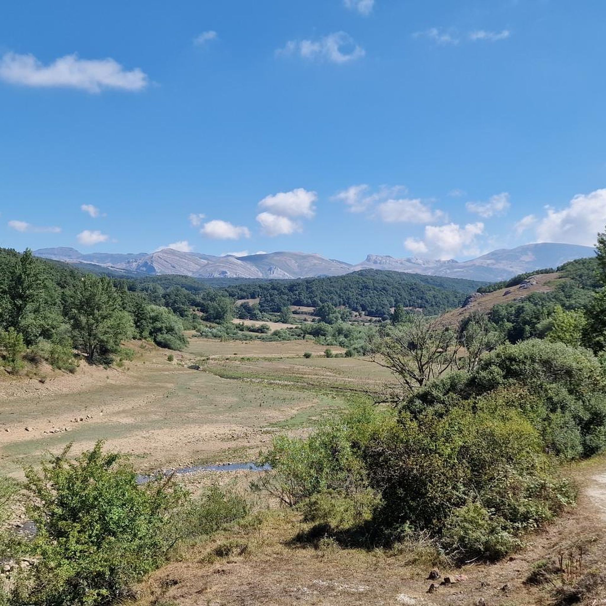
Hiking in Fuentes Carrionas Y Fuente Cobre - Montaña Palentina offers access to high-mountain landscapes, characterized by peaks exceeding 2,500 meters and terrain shaped by glacial activity. The region features prominent summits such as Peña Prieta, Curavacas, and Espigüete, alongside deep valleys and glacial lakes. River systems, including the Carrión and Pisuerga, dissect the area, with the source of the Pisuerga, Fuente Cobre, being a notable natural feature. Significant woodlands, like the ancient yew forest of Tejeda de Tosande, also…
Last updated: May 27, 2026
4.6
(16)
216
hikers
6.27km
02:09
310m
310m
Moderate hike. Good fitness required. Mostly accessible paths. Sure-footedness required.
4.8
(16)
148
hikers
11.8km
03:37
420m
420m
Moderate hike. Good fitness required. Easily-accessible paths. Suitable for all skill levels.

Sign up for free
4.5
(8)
163
hikers
10.2km
05:39
1,060m
1,060m
Hard hike. Very good fitness required. Mostly accessible paths. Sure-footedness required.
4.7
(6)
121
hikers
Hard hike. Very good fitness required. Sure-footedness, sturdy shoes and alpine experience required.
4.6
(8)
115
hikers
9.17km
06:42
1,090m
1,090m
Hard hike. Very good fitness required. Sure-footedness, sturdy shoes and alpine experience required.
Get access to more routes and recommendations from other explorers.
Sign up for free
Already have an account?
Our route recommendations are based on thousands of hikes, rides, and runs completed by other people on komoot.
Start today with a free account
Your next adventure awaits.
Login or Signup
Popular around Fuentes Carrionas Y Fuente Cobre - Montaña Palentina

TransCantabrica – Extreme mountain biking in northern Spain
MTB Trails in Fuentes Carrionas Y Fuente Cobre - Montaña Palentina
Cycling in Fuentes Carrionas Y Fuente Cobre - Montaña Palentina
Running Trails in Fuentes Carrionas Y Fuente Cobre - Montaña Palentina
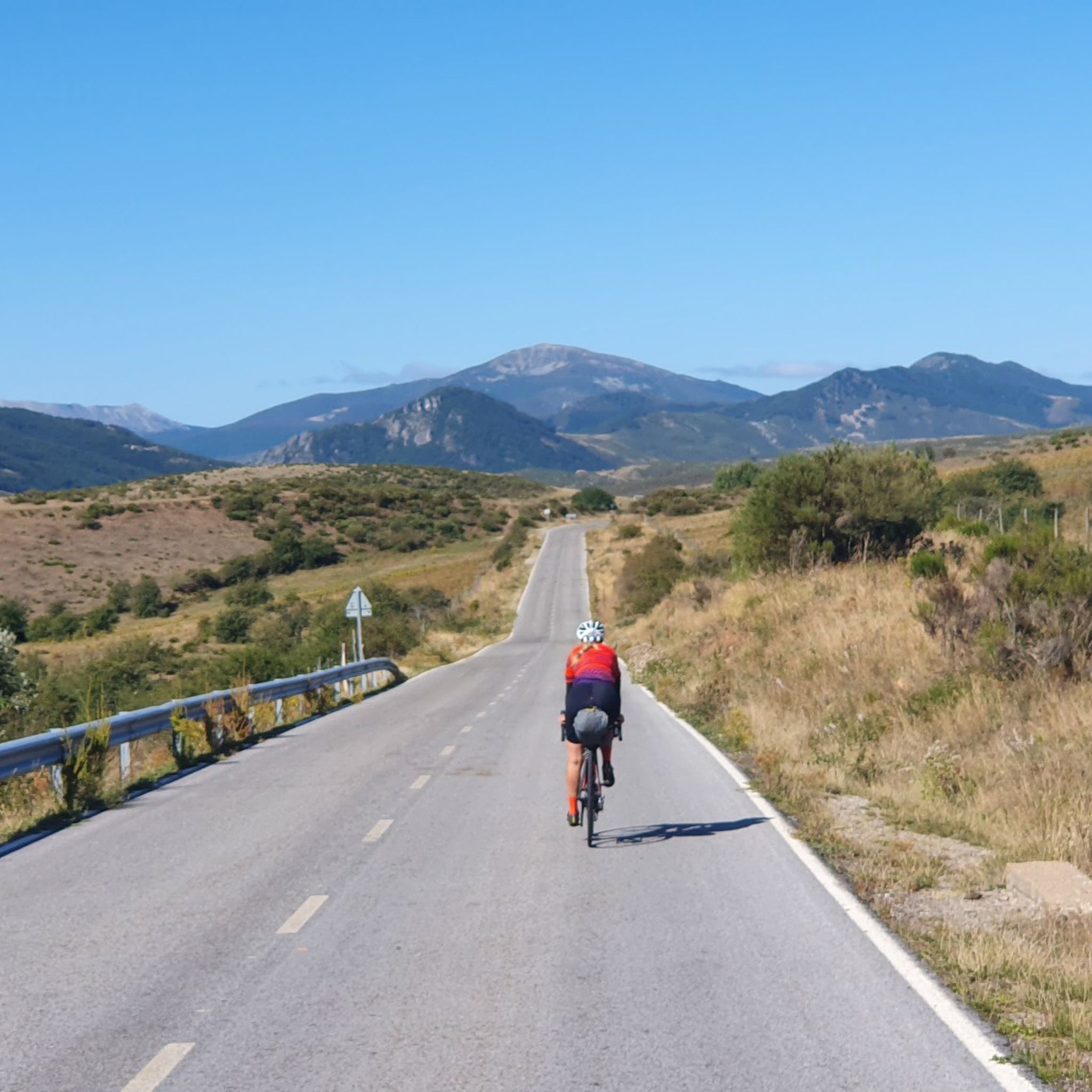
Road Cycling Routes in Fuentes Carrionas Y Fuente Cobre - Montaña Palentina

Gravel biking in Fuentes Carrionas Y Fuente Cobre - Montaña Palentina

Mountain Hikes in Fuentes Carrionas Y Fuente Cobre - Montaña Palentina
Other adventures in Fuentes Carrionas Y Fuente Cobre - Montaña Palentina

Tips from the Community

The Mazobre Waterfall, located in the Palentina Mountains within the Fuentes Carrionas and Fuente Cobre Natural Park, is one of the most spectacular spots in the province of Palencia. It is located near Cardaño de Arriba, in the municipality of Velilla del Río Carrión.
1
0
Climbing Curavacas is an exciting experience for mountain lovers. There are several routes available, such as Callejo Grande and Senda del Notario, which offer different levels of difficulty. In addition, in the area you can find glacial lagoons, such as Pozo Curavacas and Pozos del Ves, which add a special touch to the landscape.
5
0

Spectacular to see it frozen and to be able to walk on it
0
0
The Pisuerga River rises in the province of Palencia, in the region of Castile and León, Spain. Its source is in the Covarrés glacial basin, between the Valdecebollas peak and the Sierra de Híjar, in a place known as Sel de la Fuente.
3
0

A beautiful waterfall that can be reached after a short and relatively easy hike. The cool water is wonderfully refreshing after a walk in the sun.
1
0

This is the perfect place to see the highest waterfall in the Palentina Mountain and the Palencia Natural Park. If you continue along the trail there is another small trail that takes you to the base of the falls. It's worth going off the trail just to check it out.
0
0
It is a very beautiful trail that goes from the Pinollano parking lot to La Cascada del Mazobre. It is a popular hike and not too difficult for biking.
0
0

Second highest summit of the Cantabrian mountain range and the highest in the province of Palencia. It offers impressive views of the famous Curavacas Well, the Curruquilla peak and many other emblems of the province.
1
1
Frequently Asked Questions
What kind of terrain can I expect when hiking in Fuentes Carrionas Y Fuente Cobre - Montaña Palentina?
The region is characterized by dramatic high-mountain landscapes, with peaks often exceeding 2,500 meters. You'll encounter rugged terrain shaped by glacial activity, including impressive cliffs, deep valleys, and glacial lakes. The area also features river systems like the Carrión and Pisuerga, and significant woodlands such as the ancient yew forest of Tejeda de Tosande.
Are there any easy hiking trails suitable for beginners or families?
Yes, Fuentes Carrionas Y Fuente Cobre - Montaña Palentina offers a variety of trails for different fitness levels. While many routes lead to high-altitude peaks, there are also easier options. For example, the Mazobre Waterfall Trail is a moderate 3.9-mile (6.3 km) path that is generally accessible and takes about 2 hours to complete, offering beautiful natural scenery.
What natural features or landmarks can I see along the hiking trails?
Hikers can explore a wealth of natural features. Notable attractions include the source of the Pisuerga River, known as Fuente Cobre, which you can visit via the Fuente Cobre Trail. The region also boasts glacial lakes like Pozo de las Lomas, and the stunning Mazobre Waterfall. You'll also find ancient forests, such as the Tejeda de Tosande, with its majestic old yew trees.
Are there any circular hiking routes in the Montaña Palentina?
Yes, the region offers several circular routes that allow you to experience diverse landscapes without retracing your steps. For instance, the challenging Peña Prieta, Peña del Infierno y Mojón de Tres Provincias circular offers a demanding high-mountain loop, while the Espigüete by the East ridge circular provides another challenging circular option.
What is the best time of year to go hiking in Fuentes Carrionas Y Fuente Cobre - Montaña Palentina?
The best time to hike generally depends on the specific trail and your experience level. For high-mountain ascents and challenging routes, late spring through early autumn (June to September) typically offers the most favorable weather conditions. Lower elevation trails and forest walks can be enjoyed earlier in spring and later into autumn. Winter hiking is possible but requires appropriate gear and experience due to snow and ice.
Can I bring my dog on the hiking trails in this region?
Many trails in Fuentes Carrionas Y Fuente Cobre - Montaña Palentina are dog-friendly, allowing you to enjoy the natural beauty with your canine companion. However, it's always advisable to check specific trail regulations, especially within protected areas, and to keep your dog on a leash to protect wildlife and ensure a pleasant experience for all hikers.
What do other hikers enjoy most about hiking in Fuentes Carrionas Y Fuente Cobre - Montaña Palentina?
The area is highly rated by the komoot community, with an average score of 4.7 stars from over 170 reviews. Reviewers often praise the dramatic high-mountain landscapes, the unique glacial formations, and the ancient forests. The diversity of routes, from moderate walks to challenging high-altitude ascents, is also frequently highlighted.
Are there any challenging routes for experienced hikers?
Absolutely. The region is renowned for its challenging high-mountain terrain. Experienced hikers can tackle ascents to prominent peaks like Curavacas, Espigüete, and Peña Prieta. The Curavacas from Vidrieros trail, for example, is a difficult 6.3-mile (10.2 km) route that involves significant elevation gain and takes over 5 hours to complete.
Are there any places to stay or amenities near the hiking trails?
The region features charming small villages that offer a blend of nature and history, where you can often find local amenities. For those looking for more rustic accommodation, there are also various huts and shelters available, such as the Golobar Refuge or the Free shelter in Parque Natural Montaña Palentina, which can be useful for longer treks.
What kind of wildlife might I encounter while hiking?
Fuentes Carrionas Y Fuente Cobre - Montaña Palentina is a natural park that provides a habitat for diverse animal species. While sightings are never guaranteed, you might be fortunate enough to spot various birds of prey, deer, and even the elusive Cantabrian brown bear in certain areas. Always maintain a respectful distance and do not disturb the wildlife.
Is public transport available to reach trailheads in Montaña Palentina?
Public transport options to reach specific trailheads within the Montaña Palentina can be limited, especially for more remote areas. It is often recommended to use a personal vehicle for greater flexibility. However, some larger villages might have bus connections. It's best to check local transport schedules in advance for the specific area you plan to visit.
Most popular routes in Fuentes Carrionas Y Fuente Cobre - Montaña Palentina
Most popular attractions in Fuentes Carrionas Y Fuente Cobre - Montaña Palentina

Get inspired with the komoot mobile app


Explore more
Browse the best Hikes in other regions.
