The best mountain hikes in Fuentes Carrionas Y Fuente Cobre - Montaña Palentina
5.0
(1)
44
hikers
3
hikes
Mountaineering routes in Fuentes Carrionas Y Fuente Cobre - Montaña Palentina traverse a rugged and remote landscape within the Cantabrian Mountains. The region is characterized by towering peaks, many exceeding 2,500 meters, including Curavacas and Espigüete. Glacial valleys, cirques, and the origins of the Carrión and Pisuerga rivers define its high-mountain scenery. Terrain varies from steeply sloped areas with sparse vegetation to extensive oak and beech forests at lower altitudes.
Best mountaineering routes in Fuentes Carrionas Y Fuente Cobre -…
Last updated: May 20, 2026
4
hikers
10.4km
05:57
1,080m
1,080m
Hard mountaineering route. Very good fitness required. Sure-footedness, sturdy shoes and alpine experience required.
5
hikers
11.8km
03:39
430m
430m
Moderate mountaineering route. Good fitness required. Easily-accessible paths. Suitable for all skill levels.

Sign up for free
9
hikers
8.94km
03:11
520m
530m
Moderate mountaineering route. Good fitness required. Easily-accessible paths. Suitable for all skill levels.
Our route recommendations are based on thousands of hikes, rides, and runs completed by other people on komoot.
Start today with a free account
Your next adventure awaits.
Login or Signup
Popular around Fuentes Carrionas Y Fuente Cobre - Montaña Palentina

TransCantabrica – Extreme mountain biking in northern Spain
Hiking in Fuentes Carrionas Y Fuente Cobre - Montaña Palentina
MTB Trails in Fuentes Carrionas Y Fuente Cobre - Montaña Palentina
Cycling in Fuentes Carrionas Y Fuente Cobre - Montaña Palentina
Running Trails in Fuentes Carrionas Y Fuente Cobre - Montaña Palentina
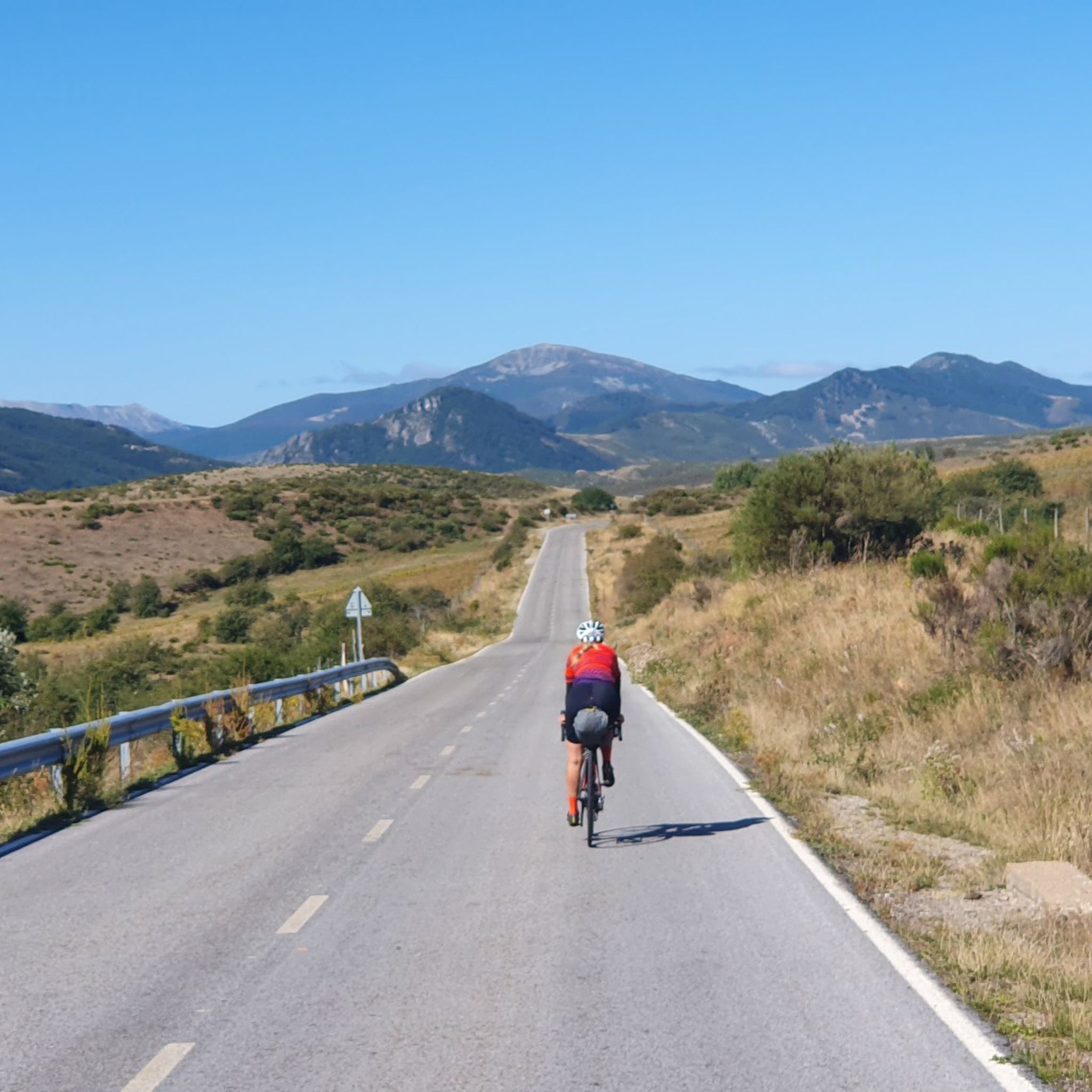
Road Cycling Routes in Fuentes Carrionas Y Fuente Cobre - Montaña Palentina

Gravel biking in Fuentes Carrionas Y Fuente Cobre - Montaña Palentina
Other adventures in Fuentes Carrionas Y Fuente Cobre - Montaña Palentina

Tips from the Community

A varied tour with a box seat view of the southern Picos in Spain: This circular hike does not run through the Picos de Europa itself, but it has everything that makes a hiker's heart beat faster in Cantabria: Comfortable, wide paths alternate with short, steep climbs on narrow paths, sometimes it goes through sparse forests, sometimes the eye can hardly get enough of the views. The whole thing is spiced up with two small ponds that invite you to have a picnic along the way, a small, Stone Age megalithic tomb and the (albeit barely visible) remains of an Iron Age settlement. The brilliant highlight of the tour is the Pico Jano. From the almost 1,500 m high summit and the subsequent short ridge hike, you can look out over the entire south side of the Picos de Europa, the Liébana valley and to the south over the Cantabrian divide as if from a box seat.
2
0

It is a very beautiful trail that goes from the Pinollano parking lot to La Cascada del Mazobre. It is a popular hike and not too difficult for biking.
0
0

The route is quite difficult and without major highlights along the way. It's steep up and steep down again. A good level of fitness is important. The grandiose view from the summit then compensates for the exertion. ☺️
0
0

Palencia summit located in the town of Cardaño de Abajo which can be ascended by several routes, although several of them present a fairly high technical difficulty.
1
1

At 1446 meters above sea level, the peak of El Pico Jano is the highest in the Sierra de Collaín and you will feel that you are touching the clouds, or failing that, you will be above them! As there are no obstacles ahead, the views are truly amazing and will invite you to stay there for a few minutes enjoying this beautiful landscape of the Cantabrian mountain range.
1
0
Very picturesque path with beautiful views that runs through the Castro de la Tejera and allows you to reach Pico Jano.
2
0

The path that runs from Pinollano to La Cascada de Mazobre is 3 km of good track.
1
0
Climbing the east ridge is very demanding. Going down the north slope requires a lot of attention to avoid falls.
1
0
Frequently Asked Questions
How many mountaineering routes are available in Fuentes Carrionas Y Fuente Cobre - Montaña Palentina?
There are over 5 mountaineering routes available in Fuentes Carrionas Y Fuente Cobre - Montaña Palentina, catering to various skill levels. The komoot community has explored these routes over 80 times, highlighting the region's diverse terrain.
What kind of terrain can I expect on mountaineering routes in this region?
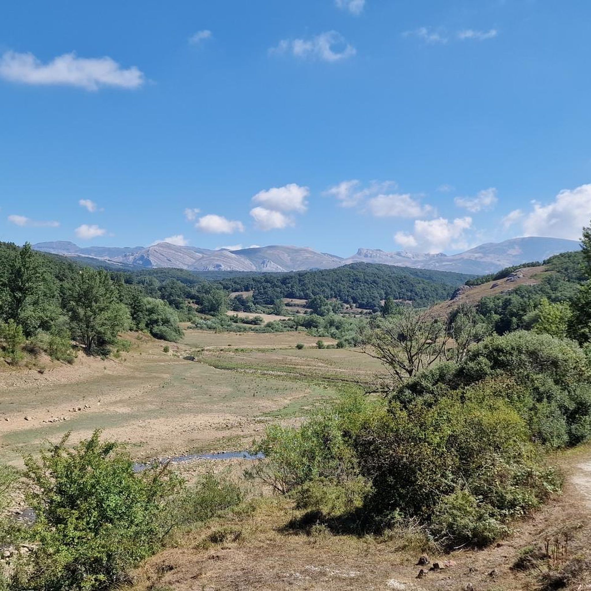
The terrain in Fuentes Carrionas Y Fuente Cobre - Montaña Palentina is highly varied. You'll encounter rugged, steeply sloped areas with sparse vegetation, especially around Fuentes Carrionas, and extensive oak and beech forests in the Fuente Cobre section. Higher altitudes feature pastures and heather formations, often marked by glacial valleys and cirques.
Are there any circular mountaineering routes in Fuentes Carrionas Y Fuente Cobre - Montaña Palentina?
Yes, several routes are designed as loops. For example, you can take on the challenging Peña Prieta (2,538 m) loop from Cardaño de Arriba, or the Diente del Oso – Curavacas loop from Vidrieros for another demanding ascent. A moderate option is the Cueva del Cobre loop from Parking Cueva del Cobre.
Are there any options for less experienced mountaineers or those seeking moderate challenges?
While many routes are difficult, there are moderate options available. The Cueva del Cobre loop from Parking Cueva del Cobre is a moderate 11.8 km route that takes around 3 hours 40 minutes. Another moderate choice is the Embalse de la Tejera – Pico Jano loop from Pico Jano, covering 9.1 km.
What natural landmarks or viewpoints can I explore along these routes?
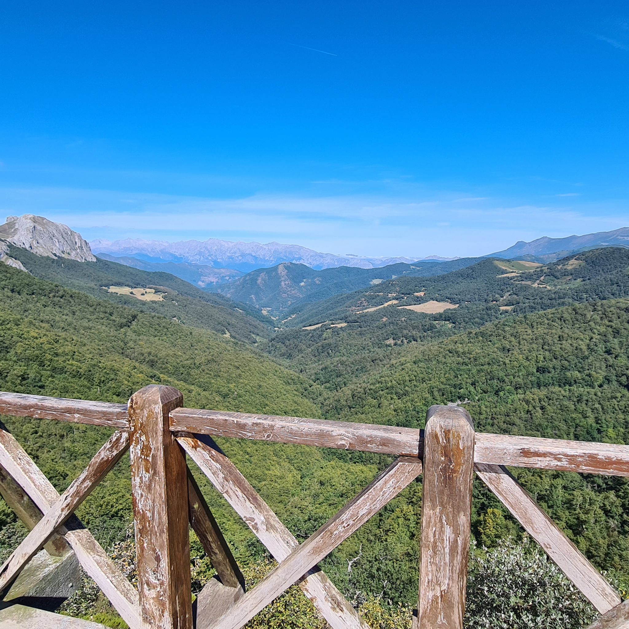
The region is rich in natural landmarks. You can visit the Piedrasluengas Viewpoint for panoramic views of the Picos de Europa. The Mazobre Waterfall is another significant natural attraction, particularly impressive after rainfall. You might also encounter prominent summits like Curavacas (2524m) and Peña Labra.
What is the best time of year for mountaineering in Fuentes Carrionas Y Fuente Cobre - Montaña Palentina?
The best time for mountaineering typically depends on your experience. While the park offers year-round beauty, higher ascents demand experience and caution, especially in winter due to snow and ice. Spring and autumn generally offer more stable weather conditions and pleasant temperatures for exploring the diverse terrain.
Are there any waterfalls or significant water features to see?
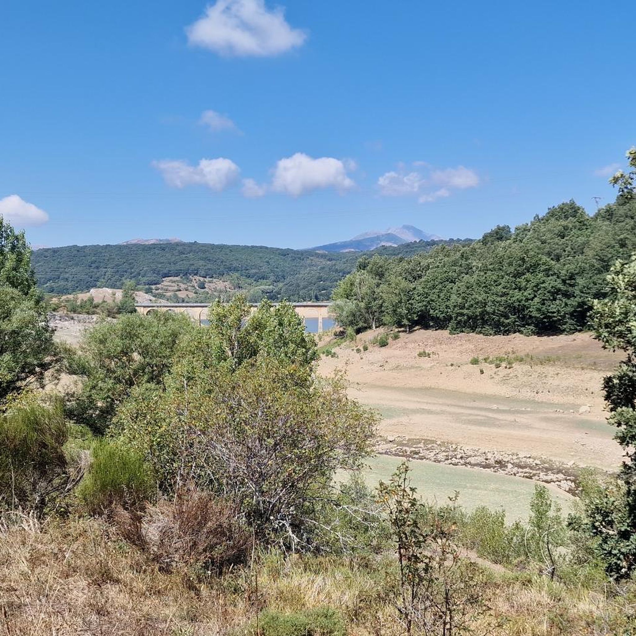
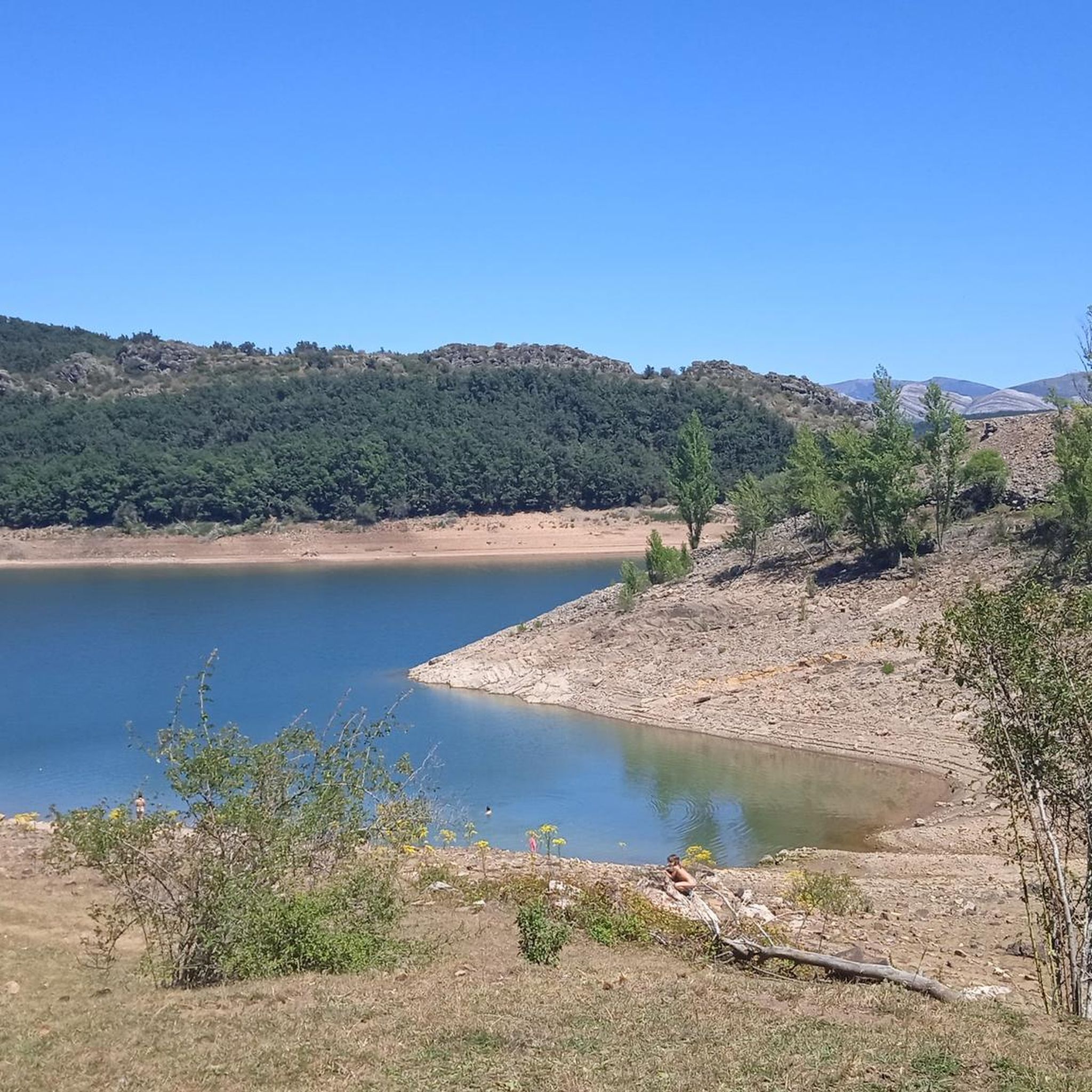
Yes, the park is home to the sources of the Carrión and Pisuerga rivers. A notable water feature is the Mazobre Waterfall, which is particularly impressive after heavy rains. The deep blue waters of Embalse de Compuerto also add to the scenic beauty of the area.
What do other mountaineers say about the routes in Fuentes Carrionas Y Fuente Cobre - Montaña Palentina?
The mountaineering routes in Fuentes Carrionas Y Fuente Cobre - Montaña Palentina are highly rated by the komoot community, with an average score of 5.0 stars from over 2 reviews. Mountaineers often praise the challenging ascents to prominent summits and the untouched wilderness of this hidden gem in northern Spain.
Are there specific routes for advanced mountaineers seeking a challenge?
Absolutely. The region is known for its demanding ascents. The Espigüete loop from Parking Pinollano is a difficult 10.1 km route through high-alpine terrain. Other challenging options include the ascents to peaks like Curavacas and Espigüete, which are popular among experienced mountaineers.
Is public transport available to reach the trailheads in Fuentes Carrionas Y Fuente Cobre - Montaña Palentina?
Due to the rugged and somewhat remote nature of the Fuentes Carrionas y Fuente Cobre - Montaña Palentina Natural Park, public transport options to specific trailheads can be limited. It is generally recommended to travel by car to access the starting points of most mountaineering routes.
Where can I find parking for mountaineering routes in this region?
Parking is typically available at common starting points for routes. For instance, the Espigüete loop starts from Parking Pinollano, and the Cueva del Cobre loop begins from Parking Cueva del Cobre. Always check specific route descriptions for detailed parking information.
Are permits required for climbing certain peaks or routes in the park?
While general hiking and mountaineering do not typically require permits for access to the natural park itself, some specific activities or protected areas within the Fuentes Carrionas y Fuente Cobre - Montaña Palentina Natural Park, especially those involving climbing or entering sensitive wildlife zones, might require prior authorization. It's advisable to check with the park authorities for the most current regulations before planning your trip.
Most popular routes in Fuentes Carrionas Y Fuente Cobre - Montaña Palentina
Most popular attractions in Fuentes Carrionas Y Fuente Cobre - Montaña Palentina

Get inspired with the komoot mobile app


Explore more
Browse the best Mountain Hikes & Routes in other regions.
