Fuentes Carrionas Y Fuente Cobre - Montaña Palentina
Fuentes Carrionas Y Fuente Cobre - Montaña Palentina
The best cycling routes in Fuentes Carrionas Y Fuente Cobre - Montaña Palentina
4.7
(31)
437
riders
95
rides
Touring cycling routes in Fuentes Carrionas Y Fuente Cobre - Montaña Palentina traverse a rugged and varied landscape within the Cantabrian Mountains. The region features deep glacial valleys, significant peaks, and the sources of the Carrión and Pisuerga rivers. Cyclists can explore areas with glacial lakes, karstic formations, and diverse vegetation including oak and beech forests. This terrain offers a range of challenges for touring cyclists.
Best touring cycling routes in Fuentes Carrionas Y Fuente Cobre - Montaña Palentina
- The…
Last updated: May 26, 2026
5.0
(7)
26
riders
97.7km
06:08
1,120m
1,120m
Hard bike ride. Very good fitness required. Mostly paved surfaces. Suitable for all skill levels.
5.0
(2)
12
riders
53.0km
03:30
780m
780m
Hard bike ride. Very good fitness required. Mostly paved surfaces. Suitable for all skill levels.

Sign up for free
5.0
(1)
10
riders
18.0km
01:21
240m
240m
Moderate bike ride. Good fitness required. Some segments of this route may be unpaved and difficult to ride.
3
riders
28.9km
02:14
390m
390m
Moderate bike ride. Good fitness required. Mostly paved surfaces. Suitable for all skill levels.
32.4km
02:44
570m
570m
Hard bike ride. Very good fitness required. Mostly paved surfaces. Suitable for all skill levels.
Get access to more routes and recommendations from other explorers.
Sign up for free
Already have an account?
Our route recommendations are based on thousands of hikes, rides, and runs completed by other people on komoot.
Start today with a free account
Your next adventure awaits.
Login or Signup
Popular around Fuentes Carrionas Y Fuente Cobre - Montaña Palentina

TransCantabrica – Extreme mountain biking in northern Spain
Hiking in Fuentes Carrionas Y Fuente Cobre - Montaña Palentina
MTB Trails in Fuentes Carrionas Y Fuente Cobre - Montaña Palentina
Running Trails in Fuentes Carrionas Y Fuente Cobre - Montaña Palentina
Road Cycling Routes in Fuentes Carrionas Y Fuente Cobre - Montaña Palentina

Gravel biking in Fuentes Carrionas Y Fuente Cobre - Montaña Palentina

Mountain Hikes in Fuentes Carrionas Y Fuente Cobre - Montaña Palentina
Other adventures in Fuentes Carrionas Y Fuente Cobre - Montaña Palentina

Tips from the Community

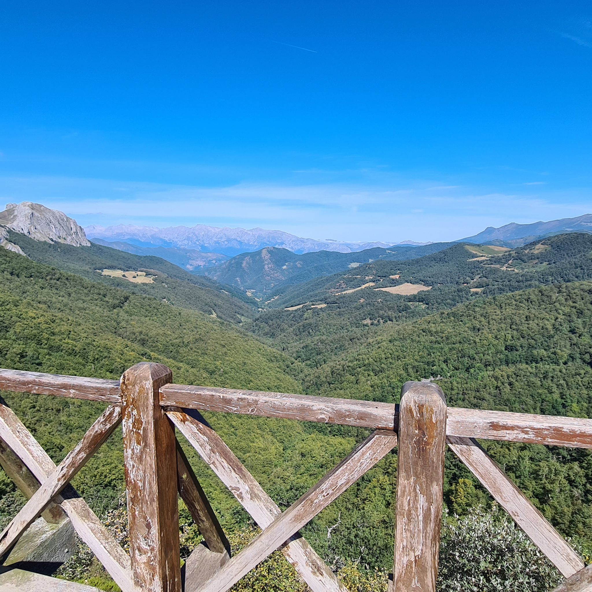
Spectacular views of the eastern massif of Picos de Europa
0
0

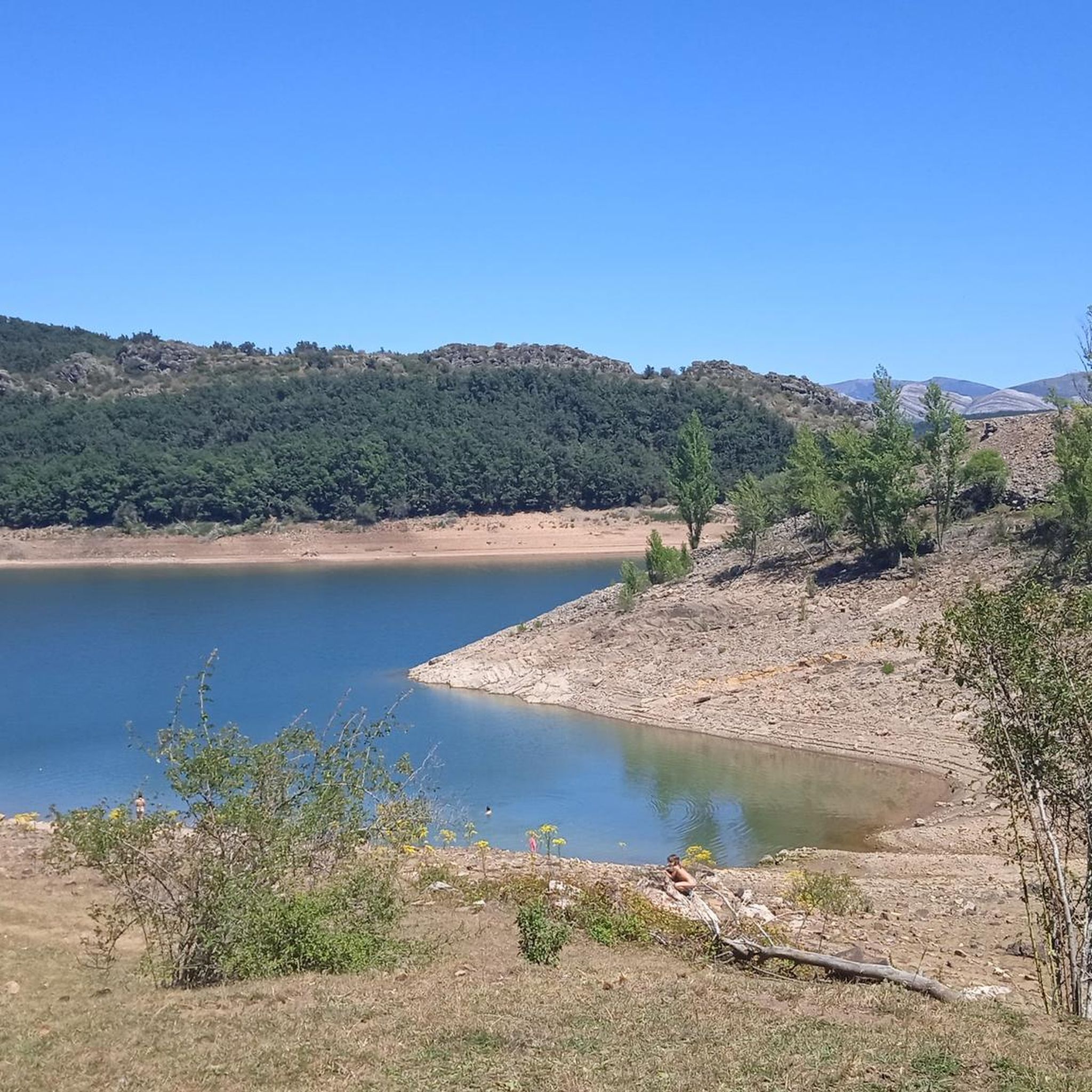
Here is the dam that creates the Camporredondo Reservoir. From this place you can follow paths and trails that surround the entire reservoir. This reservoir dates back to the 1930s.
0
0
Here you will find a spectacular view of the Camporredondo reservoir. But that's not all, the views of the surrounding mountains are excellent and it is worth taking out your camera to take some photos.
0
0

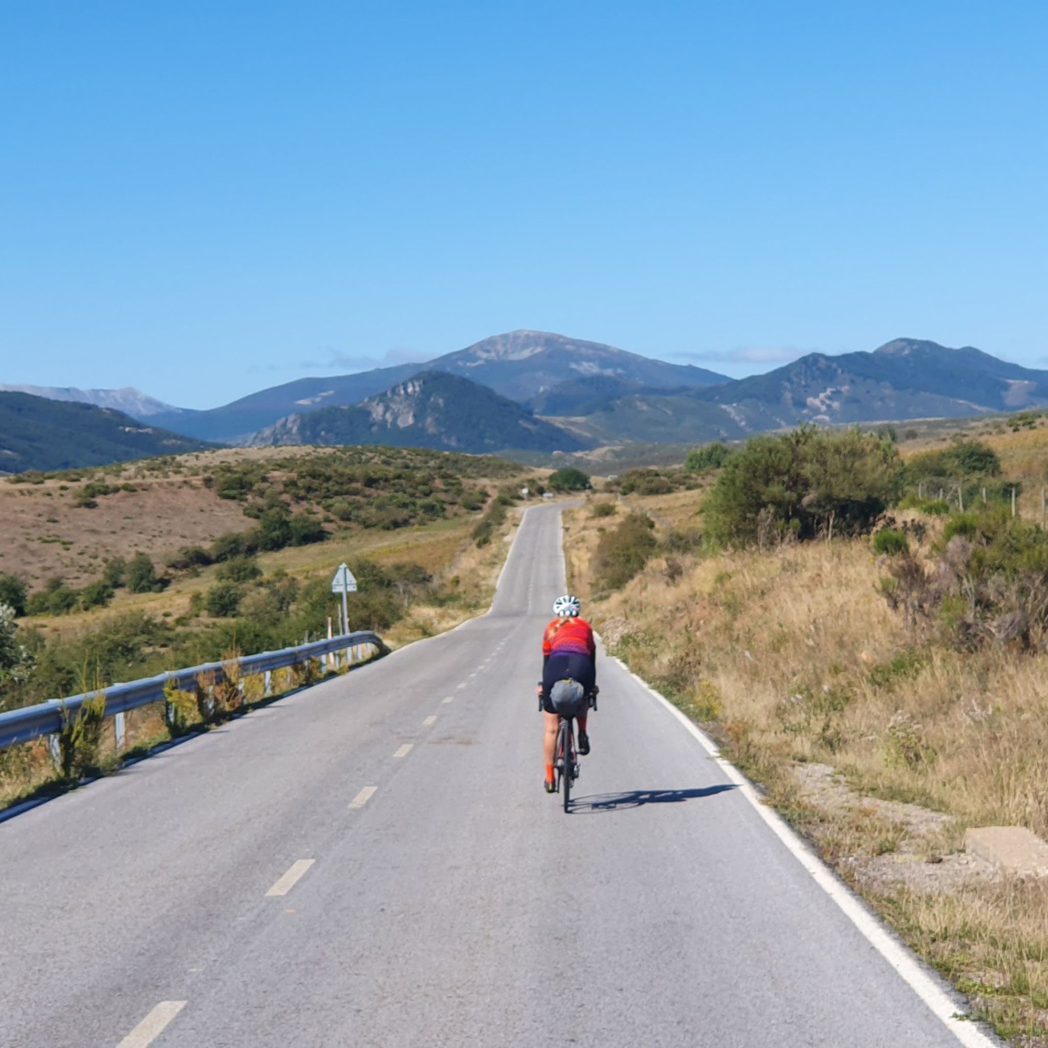
Beautiful road from Puetenansa up to there for road bikes, less traffic
1
0

The views from the path are magnificent. In the foreground you can see the town of Vañes and, in the background, the beautiful Requejada reservoir.
1
0
Excellent viewpoint with an impressive panoramic view of the Camporredondo reservoir and its surroundings. Located in a privileged natural environment, the viewpoint allows you to enjoy the beauty of the mountainous landscape and the crystalline reservoir.
2
0
The Camporredondo reservoir regulates the course of the Carrión river and creates an irrigable area of great importance for the province. Built in 1930, the reservoir is part of the "Ruta de los Pantanos" together with the reservoirs of Aguilar de Campoo, Ruesga, Requejada and Compuerto.
2
0
The La Requejada reservoir, along with two other reservoirs, regulates the mighty Pisuerga River. The reservoir, located in a mountainous environment surrounded by oak forests, was built in 1940 and has a curved gravity dam approximately 60 meters high and 200 meters long.
1
0
Frequently Asked Questions
How many touring cycling routes are available in Fuentes Carrionas y Fuente Cobre - Montaña Palentina?
There are over 90 touring cycling routes in Fuentes Carrionas y Fuente Cobre - Montaña Palentina, offering a wide range of experiences for cyclists.
What are the general difficulty levels for touring cycling in this region?
The region offers a diverse range of routes. You'll find 4 easy routes, 25 moderate routes, and 67 difficult routes, catering to various skill levels from beginners to experienced touring cyclists.
What do other touring cyclists say about the routes in Fuentes Carrionas y Fuente Cobre - Montaña Palentina?
The touring cycling routes in Fuentes Carrionas y Fuente Cobre - Montaña Palentina are highly rated by the komoot community, with an average score of 4.7 stars from over 30 reviews. Cyclists often praise the rugged mountains, glacial valleys, and expansive reservoirs that define the terrain.
Are there any long-distance touring cycling routes in Fuentes Carrionas y Fuente Cobre - Montaña Palentina?
Yes, for those seeking longer rides, routes like the Montaña Palentina Reservoirs Loop offer extensive distances, covering nearly 98 km and providing comprehensive views of the region's reservoirs and mountainous terrain.
Can I find circular touring cycling routes in the Montaña Palentina region?
Absolutely. Many routes are designed as loops, allowing you to start and end in the same location. An example is the Camporredondo Reservoir Loop, which offers a scenic ride around the reservoir.
What natural landmarks or viewpoints can I expect to see while touring cycling in Fuentes Carrionas y Fuente Cobre - Montaña Palentina?
The region is rich in natural beauty. You can cycle past impressive peaks such as Curavacas (2524m) and Espigüete Summit (2,454 m). Don't miss the Piedrasluengas Viewpoint, which offers breathtaking panoramic views of the Picos de Europa and surrounding valleys.
Are there any waterfalls accessible by touring bike in the region?
Yes, the region features beautiful natural attractions. You can find routes that lead to or pass near the Mazobre Waterfall, offering a refreshing stop during your ride.
What kind of landscapes will I encounter on a touring cycling trip here?
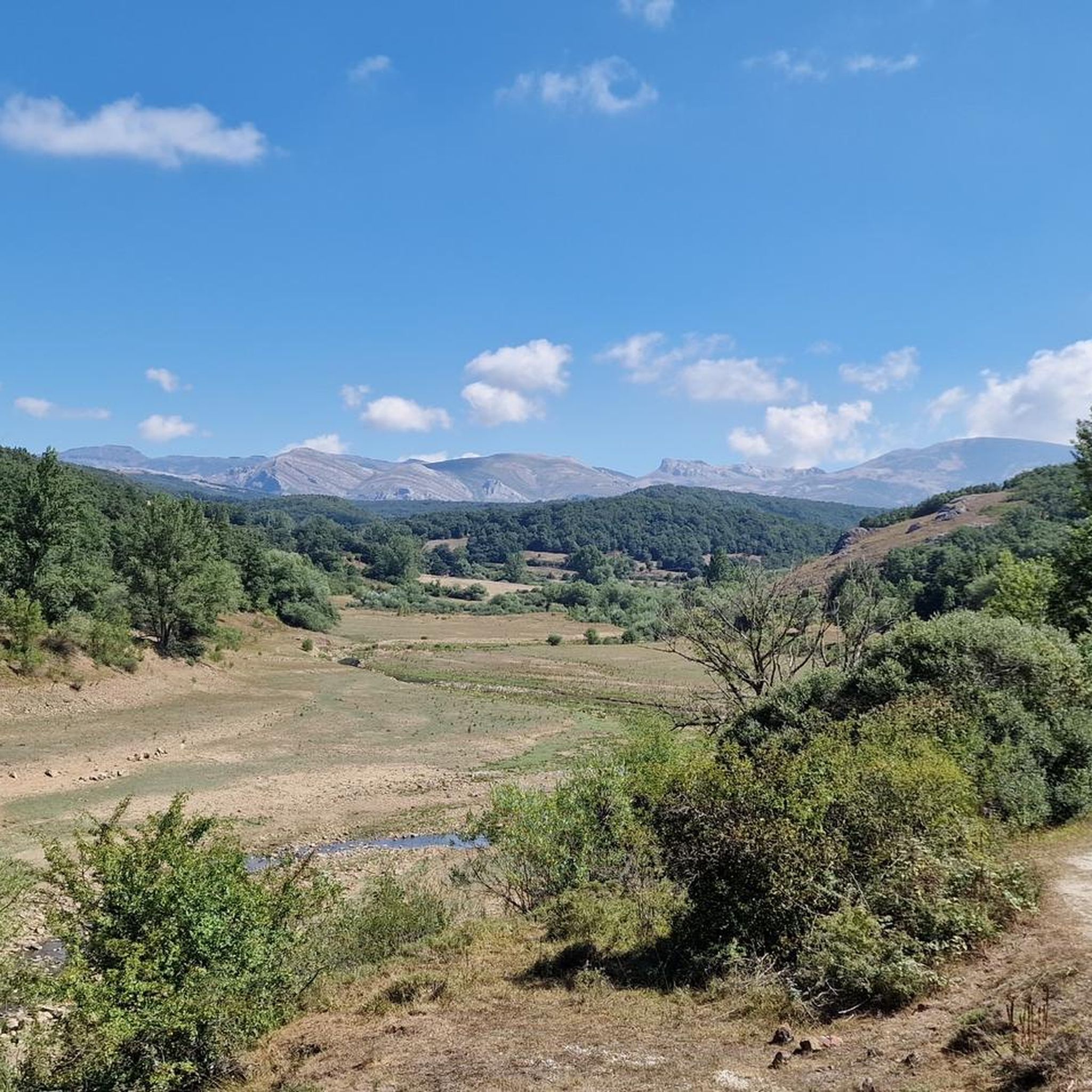
You will experience a rugged and varied terrain, shaped by glacial and karstic phenomena. Expect dramatic peaks, deep glacial valleys, pristine rivers, and glacial lakes. The routes traverse diverse vegetation, including oak and beech forests, and higher altitudes transition to pastures and heather formations.
When is the best time of year for touring cycling in Fuentes Carrionas y Fuente Cobre - Montaña Palentina?
The best time for touring cycling is generally from late spring to early autumn (May to October). During these months, the weather is more stable, and the high mountain passes are typically clear of snow. Winter cycling can be challenging due to snow and colder temperatures in the higher elevations.
Is it possible to spot wildlife while cycling in the park?
Yes, Fuentes Carrionas y Fuente Cobre - Montaña Palentina is a vital habitat for diverse wildlife. Keep an eye out for species such as roe deer, red deer, wild boar, and various bird species like golden eagles and griffon vultures. While rarer, the Cantabrian brown bear and wolves also inhabit the park.
Are there family-friendly touring cycling options in Fuentes Carrionas y Fuente Cobre - Montaña Palentina?
While many routes are challenging, there are 4 easy routes available that could be suitable for families or those looking for a more relaxed ride. These routes often follow gentler terrain through valleys or around reservoirs, away from the steepest ascents.
Are there challenging routes for experienced touring cyclists?
Absolutely. The region is known for its demanding terrain, with 67 routes classified as difficult. For a significant ascent and panoramic views, consider the Piedrasluengas Pass from Cervera de Pisuerga, which features a substantial climb to over 1,300 meters.
Can I cycle around the reservoirs in the Montaña Palentina region?
Yes, the region is characterized by its impressive reservoirs. You can enjoy routes like the Requejada Reservoir Loop, which offers scenic views of the water and surrounding mountains. Another option is the Return to the Ruesga Reservoir from Cervera de Pisuerga.
Most popular routes in Fuentes Carrionas Y Fuente Cobre - Montaña Palentina
Most popular attractions in Fuentes Carrionas Y Fuente Cobre - Montaña Palentina

Get inspired with the komoot mobile app


Explore more
Browse the best Cycling routes in other regions.
