The best family-friendly hikes and walks in the Dinaric Alps Mountains
4.5
(40804)
242,359
hikers
3,558
hikes
Family friendly hiking trails in the Dinaric Alps Mountains traverse a rugged and extensive range characterized by dramatic karst topography, featuring extensive limestone formations, deep canyons, and broad "polje" valleys. The region is home to numerous national and nature parks, preserving diverse ecosystems with old-growth beech forests, high-altitude pine forests, and alpine pastures. Rivers like the Neretva and Tara have carved spectacular canyons, adding to the varied landscape. This unique geology creates striking scenery with towering peaks and intricate underground…
Last updated: May 16, 2026
4.9
(1071)
7,507
hikers
Moderate hike. Good fitness required. Easily-accessible paths. Suitable for all skill levels.
4.7
(154)
524
hikers
10.0km
03:27
400m
400m
Moderate hike. Good fitness required. Mostly accessible paths. Sure-footedness required.

Sign up for free
4.7
(949)
4,332
hikers
Hard hike. Very good fitness required. Sure-footedness, sturdy shoes and alpine experience required.
4.7
(75)
185
hikers
7.30km
02:33
330m
330m
Moderate hike. Good fitness required. Mostly accessible paths. Sure-footedness required.
4.8
(454)
2,478
hikers
Moderate hike. Good fitness required. Easily-accessible paths. Suitable for all skill levels.
Get access to more routes and recommendations from other explorers.
Sign up for free
Already have an account?
Our route recommendations are based on thousands of hikes, rides, and runs completed by other people on komoot.
Start today with a free account
Your next adventure awaits.
Login or Signup
Popular around Dinaric Alps Mountains

Alpe-Adria-Trail: My long-distance hike from the glacier to the sea
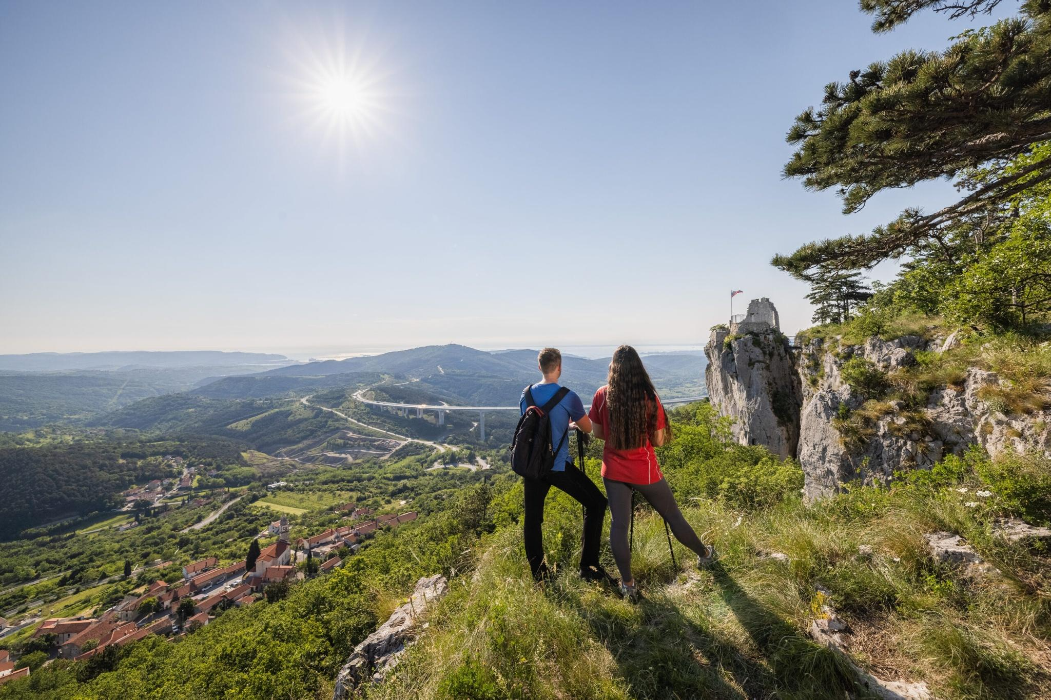
Hiking adventures in Slovenia for families away from the hustle and bustle
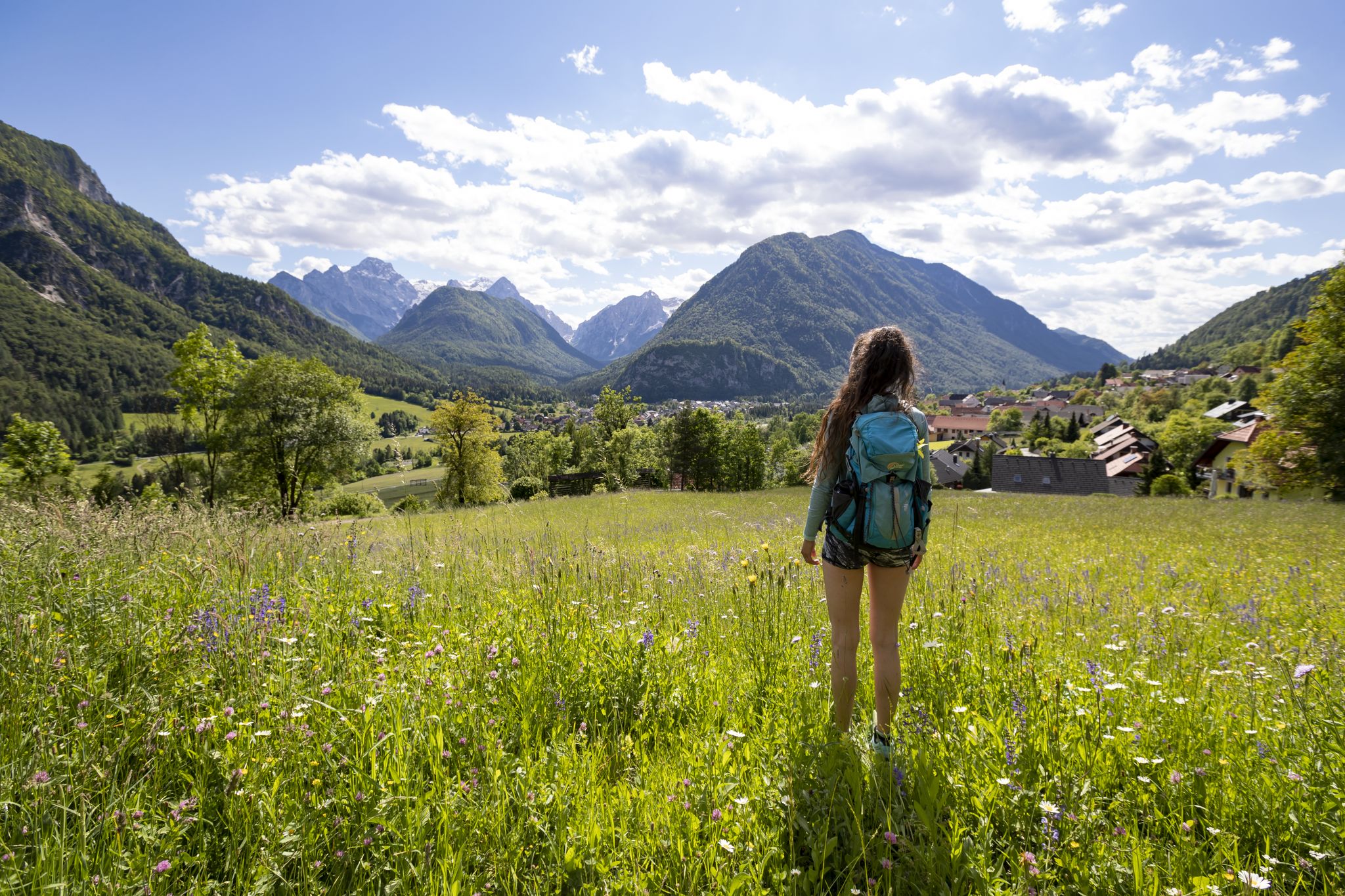
Uniquely secluded - long-distance hiking on Slovenia's Juliana Trail
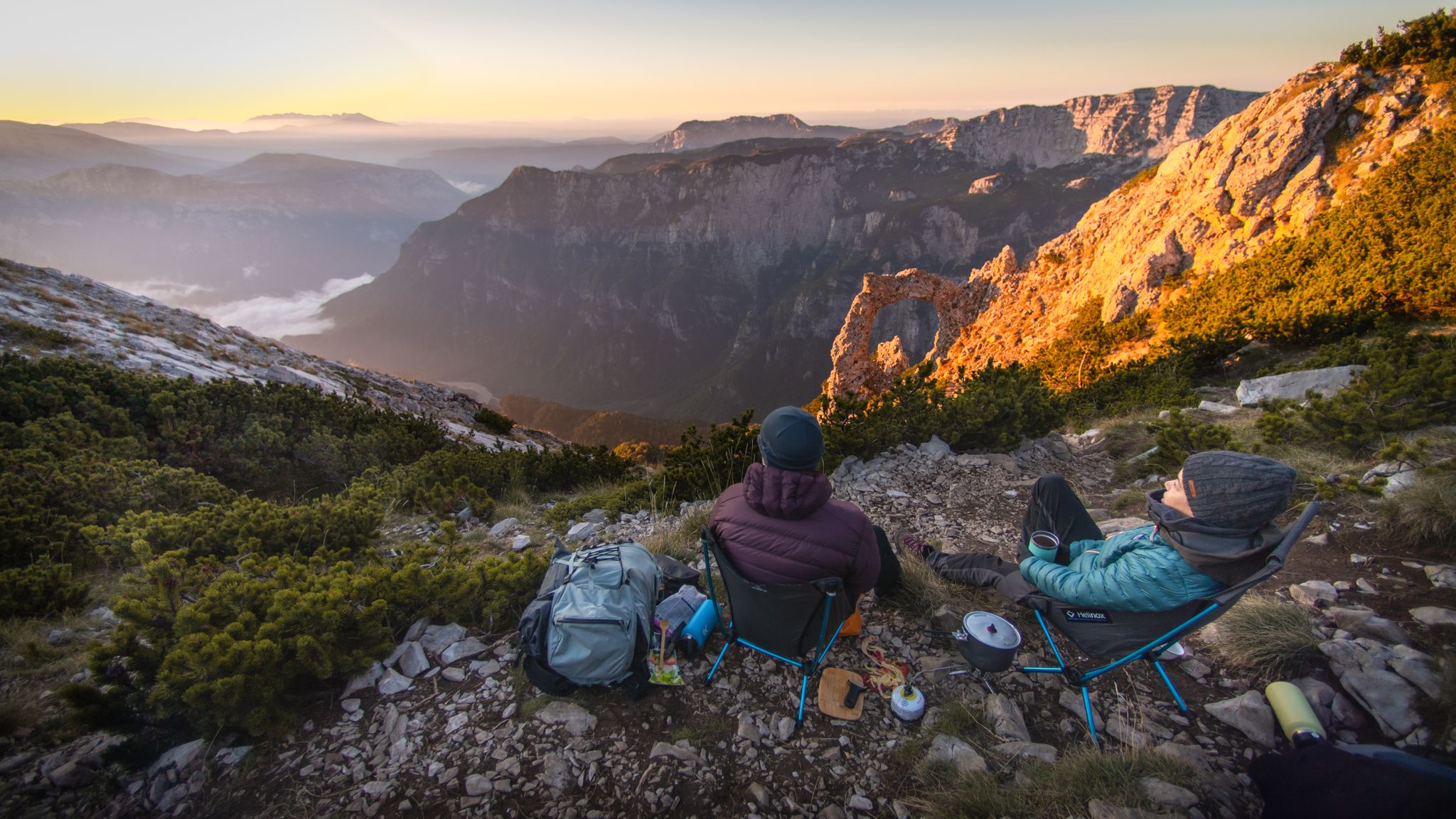
Warm earth and wild mountains — hiking in the Bosnian Alps

From the Grossglockner to the sea on the Alpe Adria Trail
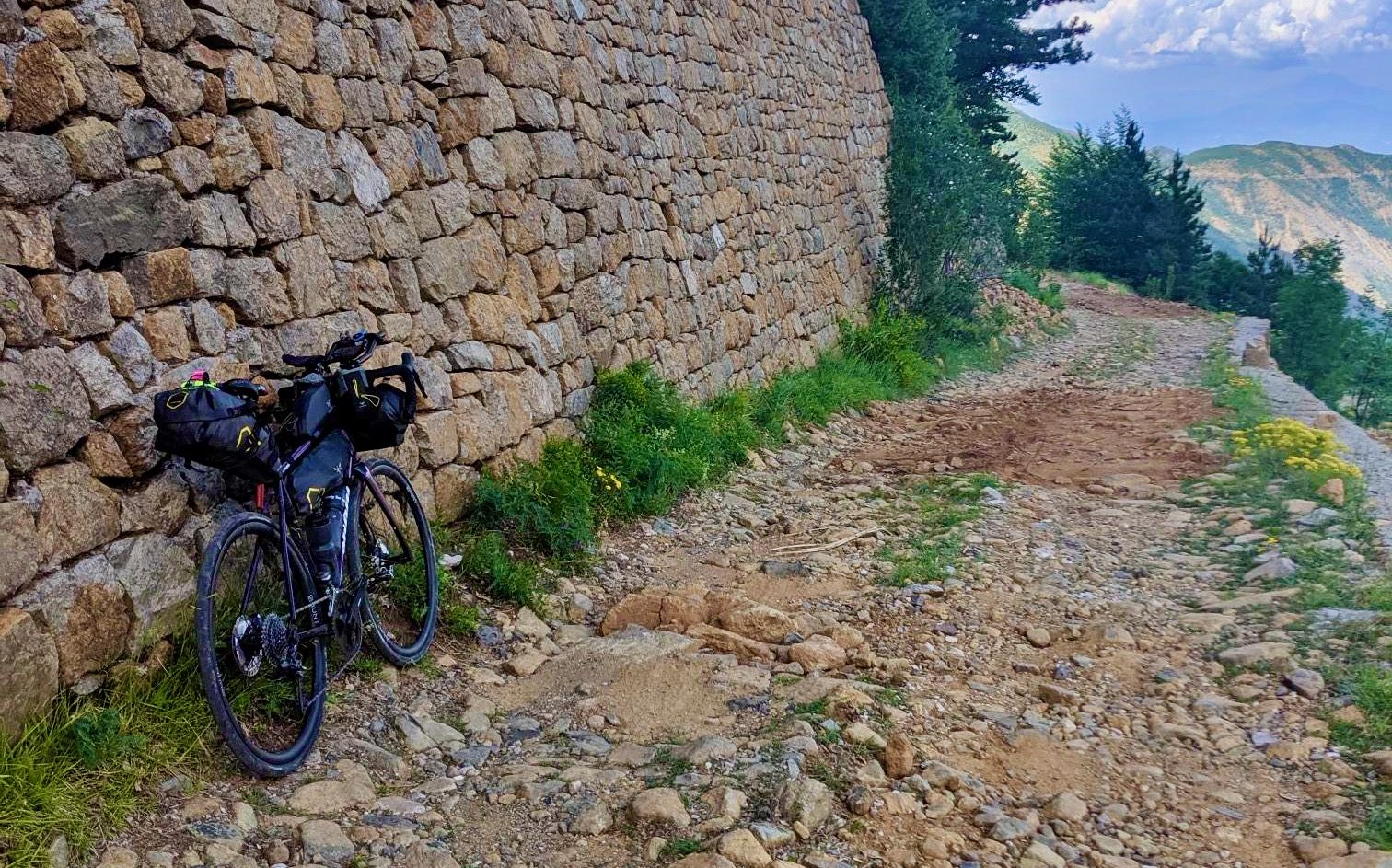
Traversing the Dinaric Alps — bikepacking from the mountains to the sea
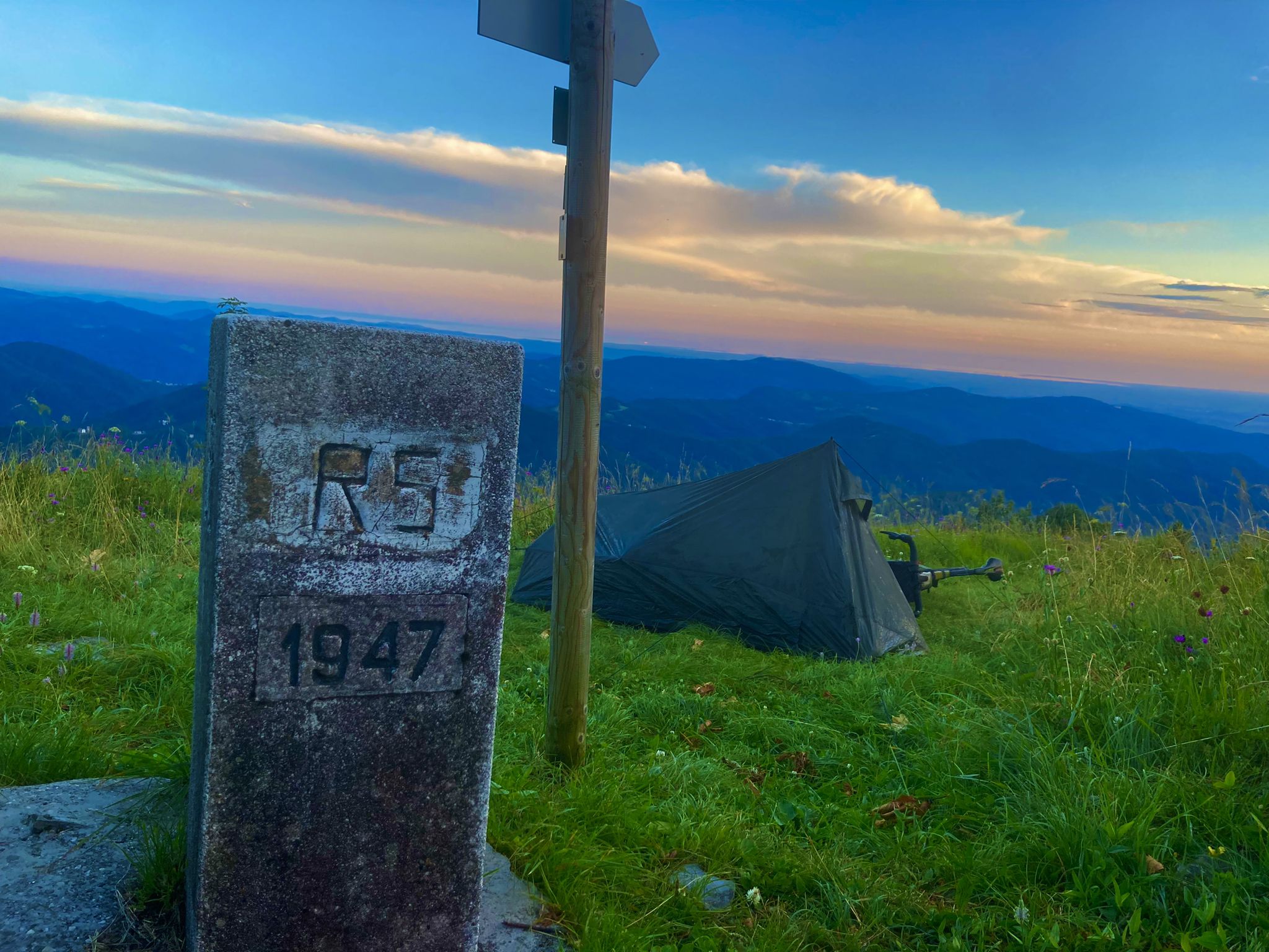
From Bavaria to the Adriatic - My Bikepacking Adventure to Croatia 2023
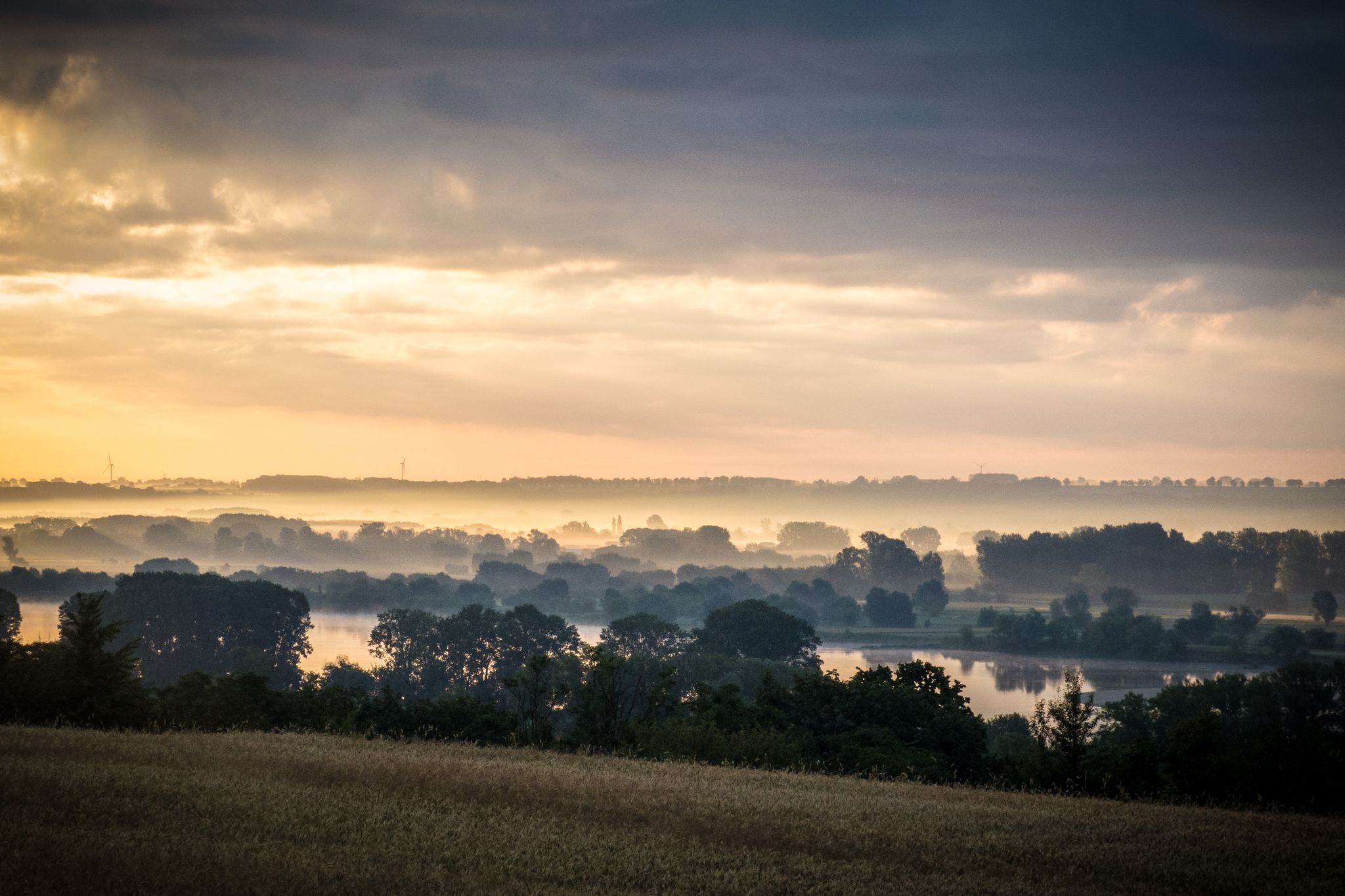
EuroVelo 9 – The Amber Route from the Baltic to Adriatic Sea
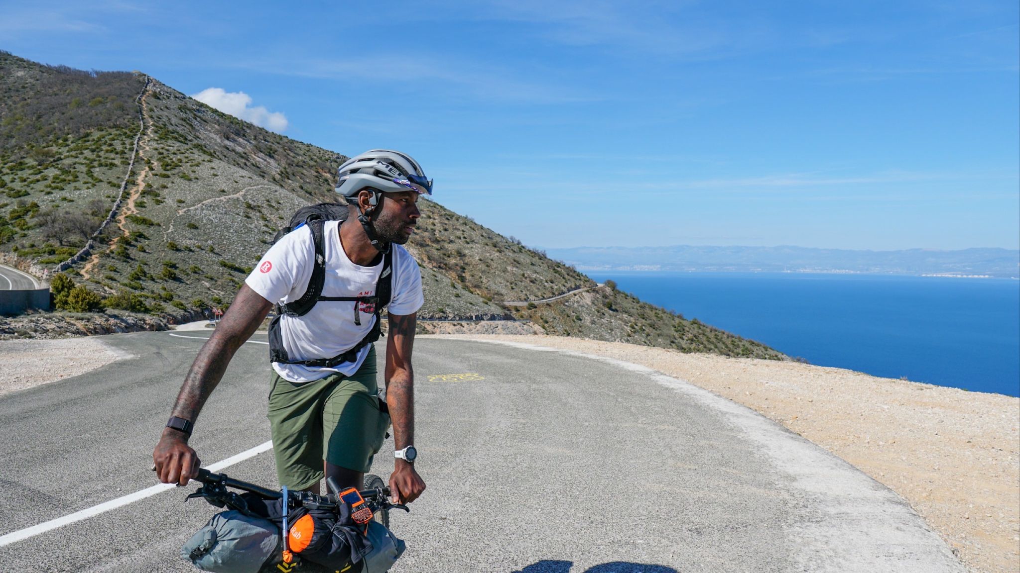
Slovenian mountains to island hopping around the Adriatic Crest
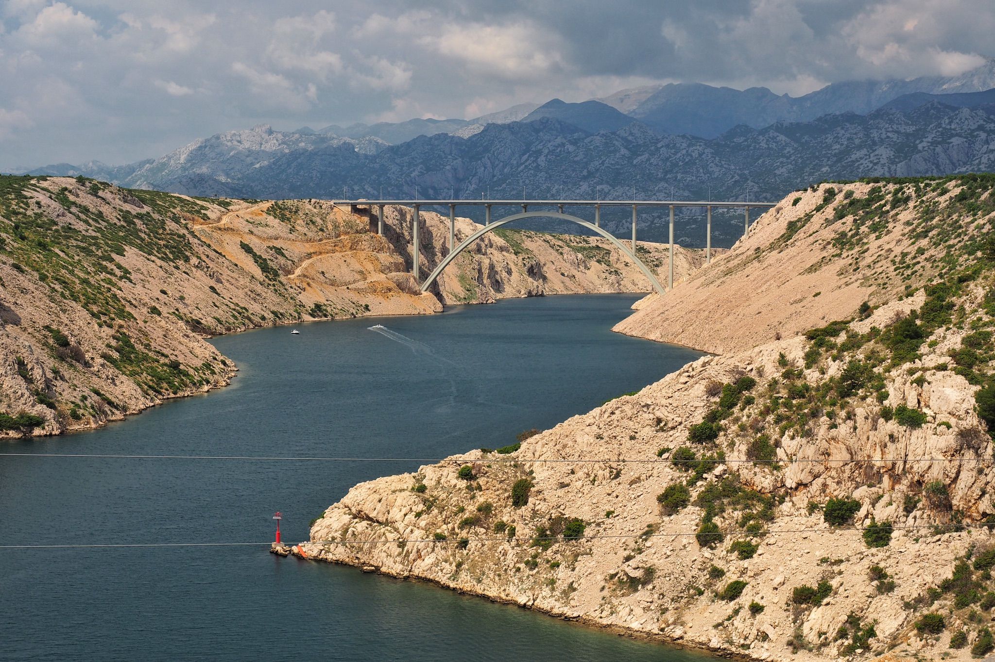
The Dinaric Alps – explore the Adriatic Sea in a different way
Other adventures in the Dinaric Alps Mountains


Tips from the Community

The former Gabrio Modugno station is the first stop you encounter when ascending the Giordano Cottur cycle path from Trieste. Located in the Altura district, it owes its name to the memory of the Bersaglieri second lieutenant Gabrio Modugno, who fell during the First World War. Originally conceived as a railway stop on the Trieste-Kozina line, the station today has lost its tracks to become a crucial hub for the city's soft mobility. The building, despite having changed function, retains the typical volume of secondary stations from the late nineteenth century. It represents the point where the route definitively leaves the strictly urban context to immerse itself in the greenery of the woods that precede the scenic entrance to Val Rosandra. For many Triestines, Modugno station is the true "point zero" to begin the climb towards the Karst, an equipped resting place where you can catch your breath while admiring the first glimpses of the Gulf from above.
0
0
The Giordano Cottur cycle path is a route of about 12 kilometers that connects the center of Trieste to the Karst plateau, following the track of the disused Trieste-Kozina railway. Starting from the San Giacomo district, the route climbs with a constant and gentle gradient, crossing tunnels dug into the rock and spectacular viaducts that offer dizzying views of the Val Rosandra. Along the way, the landscape quickly changes from an urban environment to Mediterranean scrub, until it reaches the white limestone of the Karst. After passing the Draga Sant’Elia station, the trail crosses the Slovenian border, becoming a symbol of cross-border union. It is a much-loved green artery for leisure, capable of blending industrial archaeology and wild nature.
0
0
Located behind Trieste, Val Rosandra is a unique nature reserve where the homonymous stream has carved the only deeply incised valley of the Trieste Karst. The landscape is dominated by rugged limestone cliffs, white scree slopes, and vegetation that blends Mediterranean and continental species. Famous for its 36-meter-high waterfall, the valley is a sanctuary of biodiversity and history: it hosts the remains of a 1st-century AD Roman aqueduct and the ancient church of Santa Maria in Siaris. A prime location for Trieste's mountaineering, its cliffs were the school of Emilio Comici. Between arduous trails and views of the Gulf, Val Rosandra represents a concentration of wild nature and millennia-old testimonies, suspended between the Karst plateau and the Adriatic Sea.
0
0

Impressive tunnels, trenches, and embankments along this former railway, now a cycle-pedestrian path. Not to mention the always beautiful views of the Rosandra Valley in every season. Be careful when the Bora wind blows, it's really tough going
0
0
Beautiful former railway, always, today restored at the bottom offers splendid views of the Val Rosandra.
0
0

It's worth it for the beauty of the place. Not suitable for people with walking difficulties.
0
0

Also a great place for swimming in the summer.
0
0
The valley is simply beautiful. It's definitely worth hiking through.
0
0
Frequently Asked Questions
How many family-friendly hiking trails are available in the Dinaric Alps Mountains?
The Dinaric Alps Mountains offer a vast network of trails suitable for families. You'll find over 3,500 hiking routes in the region, with more than 1,450 classified as easy and over 1,600 as moderate, providing plenty of options for all ages and skill levels.
What do other hikers enjoy most about family-friendly trails in the Dinaric Alps Mountains?
The komoot community highly rates the family-friendly trails in the Dinaric Alps Mountains, with an average score of 4.5 stars from over 40,000 reviews. Hikers frequently praise the stunning natural beauty, diverse landscapes, and the sense of untouched wilderness that many parts of the region offer.
Are there any circular routes suitable for families?
Yes, the Dinaric Alps offer several excellent circular routes perfect for families. For example, the Val Rosandra Circular Trail from Former Gabrio Modugno Station is a moderate 10 km loop that takes about 3.5 hours, offering beautiful scenery without retracing your steps.
What natural features or landmarks can we see on family hikes?
The Dinaric Alps are renowned for their dramatic karst topography, including impressive waterfalls and canyons. Many family-friendly routes offer views of these natural wonders. For instance, you can explore the area around the Milanovački Waterfall and Veliki Prstavak Waterfall, or enjoy the View of Lake Gavanovac and the waterfalls in Plitvice Lakes National Park.
Are there any trails that feature waterfalls?
Absolutely! The Dinaric Alps are famous for their cascading waterfalls. A great option is the Milanovački Waterfall – Veliki Prstavak Waterfall loop from Plitvička Jezera, a moderate 16.8 km hike that allows you to experience some of the region's most spectacular water features. Another option is the View of the Theth Valley – Grunas Waterfall loop from Thethi National Park, which is a moderate 8 km route.
What is the best time of year for family hiking in the Dinaric Alps Mountains?
The Dinaric Alps offer pleasant hiking conditions from late spring through early autumn. Summer provides warm weather and lush landscapes, while spring and autumn bring milder temperatures and fewer crowds. Always check local weather forecasts, as conditions can vary, especially at higher elevations.
Are there any easy, shorter routes suitable for families with young children?
While specific 'easy' routes are numerous, many moderate trails can be adapted or enjoyed in sections. The Val Rosandra Loop is a moderate 7.3 km trail that takes around 2.5 hours, making it a manageable option for families looking for a slightly shorter adventure with beautiful views.
Can we expect to see any wildlife on the trails?
The Dinaric Alps boast diverse ecosystems and are home to a rich variety of flora and fauna. Hikers might spot chamois, red and roe deer, golden eagles, or peregrine falcons. The region's old-growth beech forests and alpine pastures provide habitats for many species, offering opportunities for wildlife observation.
Are there options for public transport to reach trailheads?
Access to trailheads by public transport can vary significantly across the Dinaric Alps, especially in more remote areas. While some national parks and popular tourist destinations may have bus services, many trailheads require private vehicles. It's advisable to research specific route access in advance.
What kind of terrain can we expect on family-friendly hikes?
The Dinaric Alps are characterized by dramatic karst landscapes, meaning you'll encounter limestone formations, varying elevations, and sometimes rocky paths. Family-friendly trails are generally well-maintained, but expect a mix of forest paths, open meadows, and some ascents and descents. Always wear appropriate footwear.
Most popular routes in the Dinaric Alps Mountains
Most popular attractions in the Dinaric Alps Mountains

Get inspired with the komoot mobile app


Explore more
Browse the best Hikes in other regions.
