The best traffic-free bike rides in the Coast Range
4.6
(935)
35,380
riders
151
rides
Road cycling in the Coast Range offers diverse landscapes, from rugged mountains to dramatic coastlines. The region is characterized by steep mountain slopes, dense coniferous forests, and numerous rivers carving through canyons. Elevations vary significantly, providing challenging climbs and scenic descents for no traffic road cycling routes.
Best no traffic road cycling routes in the Coast Range
- The most popular no traffic road cycling route is Mount Diablo via Summit Road, a 30.1 miles (48.5 km) trail that takes…
Last updated: August 4, 2026
5.0
(10)
279
riders
48.5km
02:57
1,140m
1,140m
Mount Diablo via Summit Road offers a challenging and rewarding road cycling experience, taking you through diverse habitats to a peak with truly spectacular views. The route is primarily paved,…
5.0
(5)
174
riders
39.0km
01:35
130m
130m
Embark on the Alameda Creek and Coyote Hills Loop for an easy road cycling adventure that covers 24.3 miles (39.0 km). You will gain a gentle 440 feet (134 metres)…

Sign up for free
5.0
(2)
108
riders
30.0km
01:43
670m
670m
The Sierra Road and Felter Road loop is a legendary road cycling route near Milpitas, known for its formidable climbs and rewarding vistas. You'll grind up the notorious Sierra Road,…
59
riders
30.0km
01:26
340m
340m
Imagine yourself road cycling through varied landscapes on the Cull Canyon Bike Route. This moderate 18.7-mile (30.0 km) ride takes you from suburban fringes into quiet, oak-carpeted hills, offering a…
4.8
(4)
575
riders
59.9km
03:22
1,200m
1,200m
Hard road ride. Very good fitness required. Mostly well-paved surfaces and easy to ride.
Get access to more routes and recommendations from other explorers.
Sign up for free
Already have an account?
Our route recommendations are based on thousands of hikes, rides, and runs completed by other people on komoot.
Start today with a free account
Your next adventure awaits.
Login or Signup
Popular around Coast Range

Bay Area Ridge Trail — Circumnavigating the San Francisco Bay

Pacific Crest Trail from Mexico to Canada – 4,200 kilometres of wilderness

Bay Area Ridge Trail — Hiking the backbone of The Bay
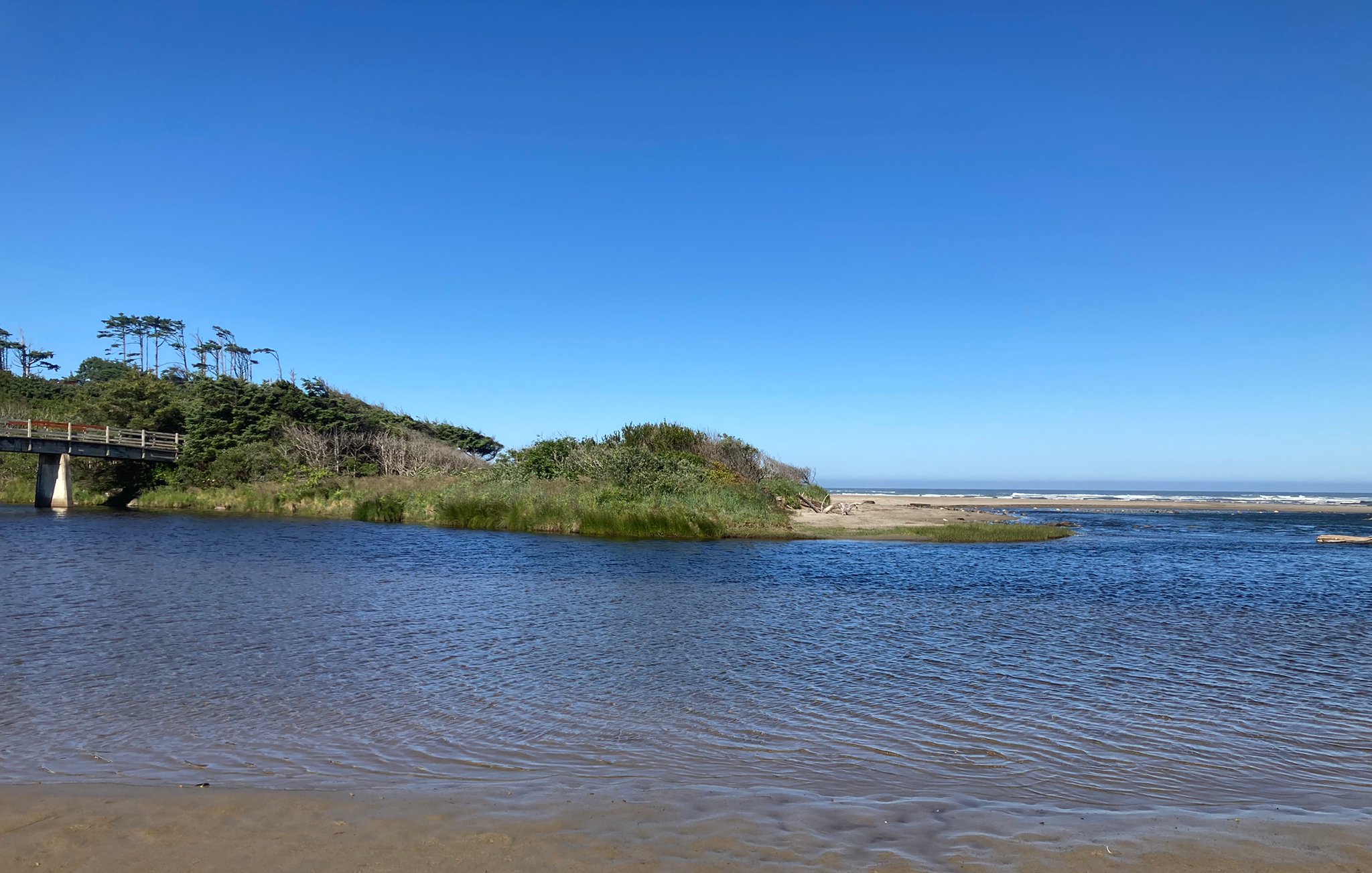
Corvallis-to-the-Sea Trail — Walk through wild Oregon

California Coastal Trail — Following the coastline from Mexico to Oregon

Bigfoot Trail — Exploring the remote Klamath Mountains
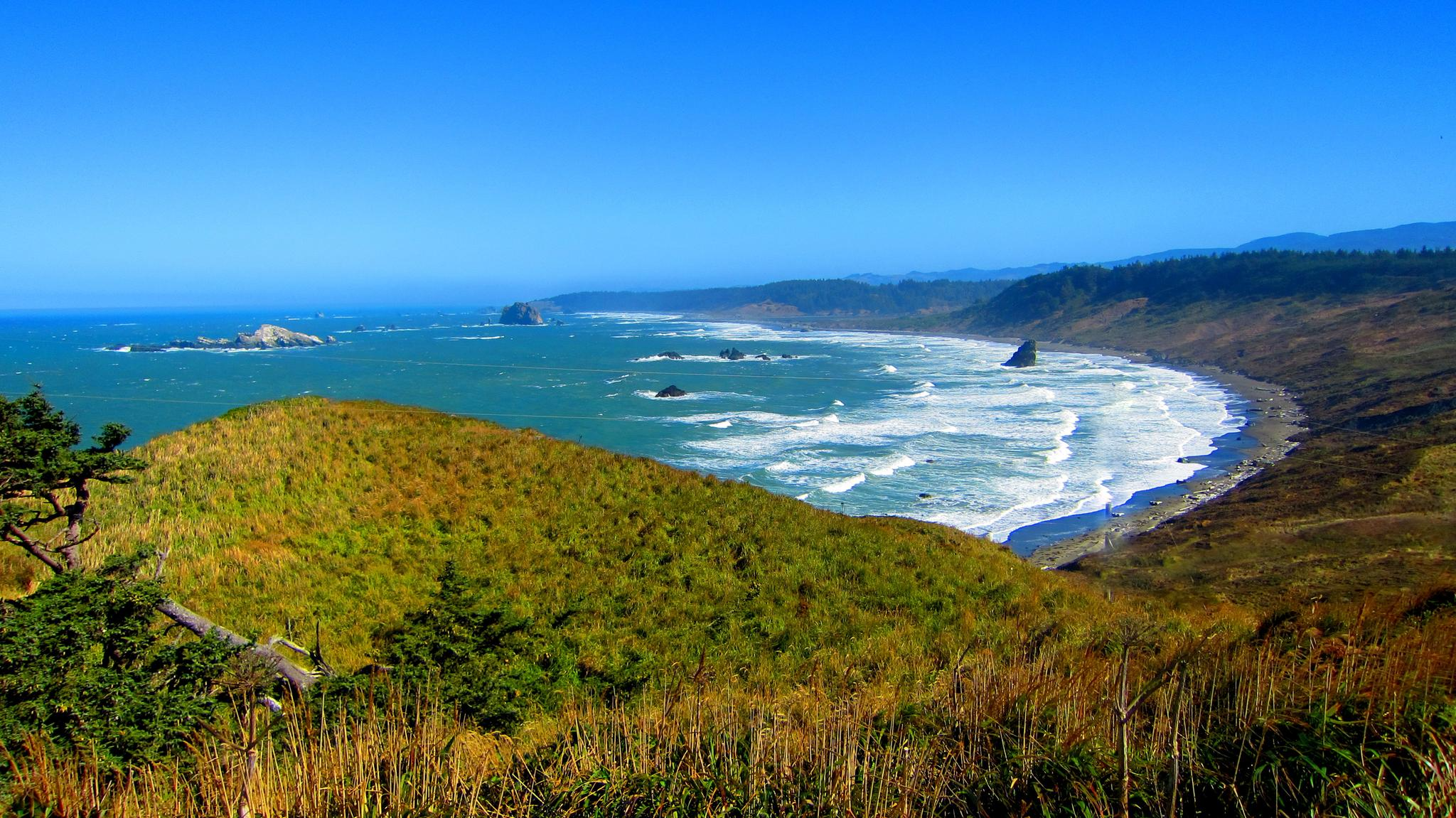
Oregon Coast Trail — An unforgettable walk along the Pacific's edge

Hiking treasures in the Bay Area

Traffic-free bike rides in the Coast Range
Traffic-free bike rides in the Coast Range
Other adventures in the Coast Range


Tips from the Community

Mount Diablo, is the Bay Area second-highest peak at 1173m (3849ft). The challenging climb features constantly fluctuating gradients averaging 8%, with tough sections up to 18% and a brutal 23% finish in the last 200m. The equally demanding descent requires good bike handling due to tight corners, potholes, and strong winds. The road to the top is open daily from 8 AM till sunset.
0
0
This charming lake sits along the Ygnacio Canal Trail at Heather Farm Park. The park features two lakes, open grassy areas, playgrounds, picnic tables, and other facilities. The lake and surrounding areas are a great spot to take a break while cycling the Ygnacio Canal Trail.
0
0


A natural lake, mostly used for fishing, that has the paved Ygnacio Canal Trail on the west side and some unpaved trails along the east.
0
0

One of the fiercest peaks in the Bay. Always worth the effort. It’s often much cooler on the summit than the rest of the trails — there is a water spigot up there to fill up bottles. Also a store is open at some times. Don’t bank on it.
0
0

Danville is situated in the heart of the San Ramon Valley and has been voted "the safest town in California" for five consecutive years. It offers trendy restaurants, boutiques, and a thriving art scene.
0
0

Pause a moment to enjoy the magnificent views over the Livermore Valley. There are picnic benches down the stairs should you want to rest up for a little longer on your way to the summit.
0
0
You can pull into the car park to take a look at the view from the Curry Point trailhead. It's a lovely spot to take a rest on your way to the top. Any excuse to catch your breath!
0
0
Frequently Asked Questions
How many no-traffic road cycling routes are available in the Coast Range?
There are over 150 dedicated no-traffic road cycling routes in the Coast Range, offering a wide variety of experiences. You'll find routes ranging from easy coastal cruises to challenging mountain climbs through dense forests.
What kind of terrain can I expect on no-traffic road cycling routes in the Coast Range?
The Coast Range offers incredibly diverse terrain. You can expect everything from leisurely coastal paths with sweeping ocean views to demanding climbs through forested mountains. Many routes feature endless curves, climbs, and descents, immersing you in forests of Douglas fir, hemlock, and pine.
Are there any easy, family-friendly no-traffic road cycling routes in the Coast Range?
Yes, the Coast Range has several easy routes suitable for families. For example, the Alameda Creek and Coyote Hills Loop is an easy option, covering about 39 km with minimal elevation gain, perfect for a relaxed ride.
What are some challenging no-traffic road cycling routes for experienced riders?
Experienced riders seeking a challenge will find plenty of options. Routes like Mount Diablo via Summit Road offer significant elevation gain, with over 1100 meters of climbing over approximately 48 km. Another demanding option is the Curry Point – Mount Diablo Summit loop from Alamo, which features over 1200 meters of ascent.
What are the best seasons for no-traffic road biking in the Coast Range?
While cycling is possible year-round, spring and fall generally offer the most pleasant conditions with milder temperatures and less rain. Summer can be warm, especially inland, but coastal areas remain cooler. Winter rides are possible, but be prepared for cooler, potentially misty or rainy weather, especially in the dense forest sections.
Are there any scenic viewpoints or natural attractions along these routes?
Absolutely! The Coast Range is known for its dramatic scenery. While specific viewpoints vary by route, you can often find stunning coastal vistas, dense forests, and river views. Some routes pass near natural features like Point Emery or Lake Merritt. The region is characterized by steep mountain slopes, highly productive coniferous forests, and dramatic coastlines with beaches and estuaries.
What do other road cyclists enjoy most about no-traffic routes in the Coast Range?
The Coast Range is highly rated by the komoot community, with an average score of 4.6 stars from over 790 ratings. Reviewers often praise the immersive experience of cycling through quiet, dense forests, the breathtaking ocean views on coastal sections, and the challenge of the varied terrain. The absence of traffic is consistently highlighted as a major benefit, allowing for a more peaceful and focused ride.
Are there any circular no-traffic road bike routes available?
Yes, many of the no-traffic routes in the Coast Range are designed as loops, allowing you to start and finish at the same point. Examples include the Alameda Creek and Coyote Hills Loop and the Sierra Road and Felter Road loop from Milpitas, which offer varied distances and difficulties.
Can I find places to eat or stay near the no-traffic road cycling routes?
While the focus is on no-traffic routes, many are accessible from or pass near charming coastal towns and communities where you can find cafes, pubs, and accommodation. For specific routes, it's always a good idea to check the route details on komoot for nearby points of interest. You might also find facilities like Humbug Mountain State Park Campground or Willson Camp along or near some routes.
What are the typical distances and elevation gains for no-traffic road cycling routes in the Coast Range?
Distances vary widely, from shorter loops around 30 km, like the Cull Canyon Bike Route, to longer, more challenging rides approaching 60 km. Elevation gains can range from minimal (around 130 meters for easy routes) to over 1200 meters for difficult routes, providing options for all fitness levels.
Are there any specific parks or preserves that offer no-traffic road cycling?
The Coast Range is home to numerous state and national parks and wilderness areas. While specific car-free sections vary, these areas often provide excellent cycling opportunities. The region's natural beauty is preserved in places like Humboldt Redwoods State Park, Oswald West State Park, and Ecola State Park, which may contain or be adjacent to suitable routes. For more detailed information on the ecoregion, you can visit oregon.gov.
Most popular routes in the Coast Range
Most popular attractions in the Coast Range

Get inspired with the komoot mobile app


Explore more
Browse the best Road cycling routes in other regions.
