The best gravel rides in the Coast Range
4.5
(46)
618
riders
86
rides
Gravel biking in the Coast Range offers diverse terrain, from rugged coastlines to lush inland forests. The region is characterized by steep mountain slopes, sharp ridges, and extensive temperate rainforests dominated by coniferous and old-growth trees. An extensive network of forest roads provides varied experiences for gravel cyclists. Elevations range from sea level to over 4,000 feet, with main ridge summits typically between 1,400 and 2,500 feet.
Best gravel bike trails in the Coast Range
- The most popular gravel bike…
Last updated: August 3, 2026
4.5
(2)
18
riders
31.7km
03:05
800m
800m
If you're looking for a gravel biking adventure that truly showcases the East Bay, the East Bay Skyline Loop delivers. This difficult 19.7-mile (31.7 km) route winds through a stunning…
12
riders
54.9km
04:26
1,040m
1,040m
The East Bay Skyline and Berkeley Hills Loop offers a quintessential gravel biking experience, blending challenging climbs with diverse terrain and expansive Bay Area views. You'll navigate a mix of…

Sign up for free
4.8
(8)
39
riders
46.7km
03:34
920m
920m
Hard gravel ride. Very good fitness required. Mostly paved surfaces. Suitable for all skill levels.
4.6
(5)
27
riders
48.8km
03:44
880m
880m
Hard gravel ride. Very good fitness required. Mostly paved surfaces. Suitable for all skill levels.
29
riders
71.9km
05:23
1,680m
1,680m
Hard gravel ride. Very good fitness required. Mostly paved surfaces. Suitable for all skill levels.
5.0
(1)
27
riders
53.7km
03:59
1,020m
1,020m
The Butters Canyon – Joaquin Miller Park loop from Fruitvale is a demanding gravel biking adventure that takes you deep into the surprisingly wild Oakland Hills. You'll pedal through a…
5.0
(2)
24
riders
35.7km
02:43
780m
780m
Hard gravel ride. Very good fitness required. Mostly paved surfaces. Suitable for all skill levels.
5.0
(2)
18
riders
Moderate gravel ride. Good fitness required. Mostly paved surfaces. Suitable for all skill levels.
4.0
(2)
18
riders
55.7km
03:47
650m
650m
Hard gravel ride. Very good fitness required. Mostly paved surfaces. Suitable for all skill levels.
11
riders
64.4km
04:51
1,570m
1,570m
Hard gravel ride. Very good fitness required. Mostly paved surfaces. Suitable for all skill levels.
Get access to more routes and recommendations from other explorers.
Sign up for free
Already have an account?
Our route recommendations are based on thousands of hikes, rides, and runs completed by other people on komoot.
Start today with a free account
Your next adventure awaits.
Login or Signup
Popular around Coast Range

Bay Area Ridge Trail — Circumnavigating the San Francisco Bay

Pacific Crest Trail from Mexico to Canada – 4,200 kilometres of wilderness

Bay Area Ridge Trail — Hiking the backbone of The Bay
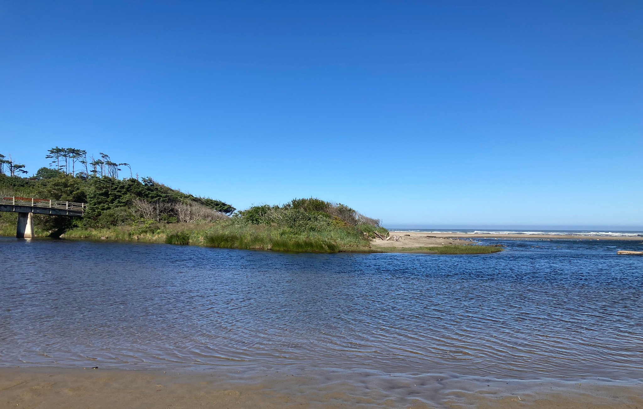
Corvallis-to-the-Sea Trail — Walk through wild Oregon

California Coastal Trail — Following the coastline from Mexico to Oregon

Bigfoot Trail — Exploring the remote Klamath Mountains
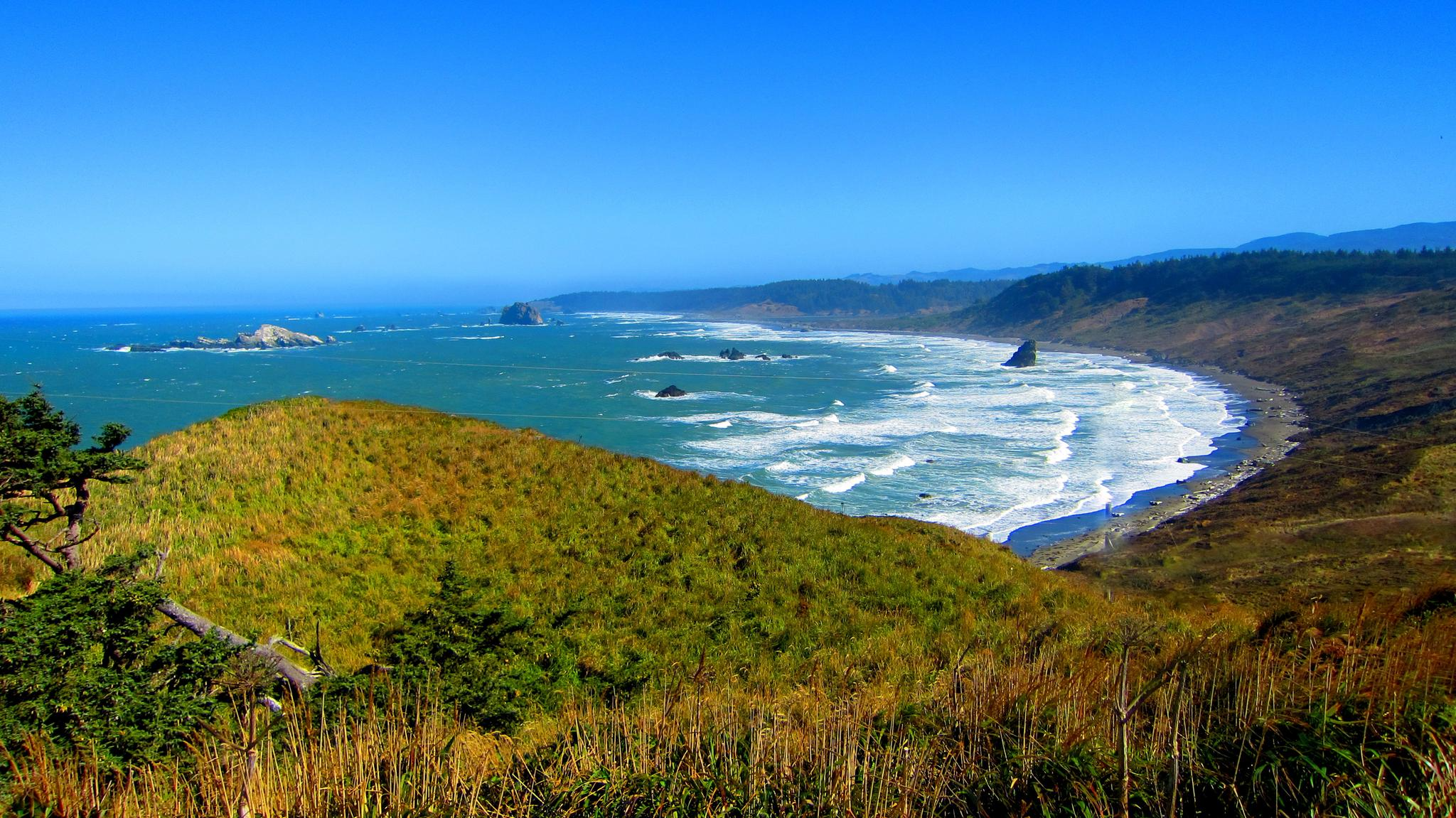
Oregon Coast Trail — An unforgettable walk along the Pacific's edge

Hiking treasures in the Bay Area
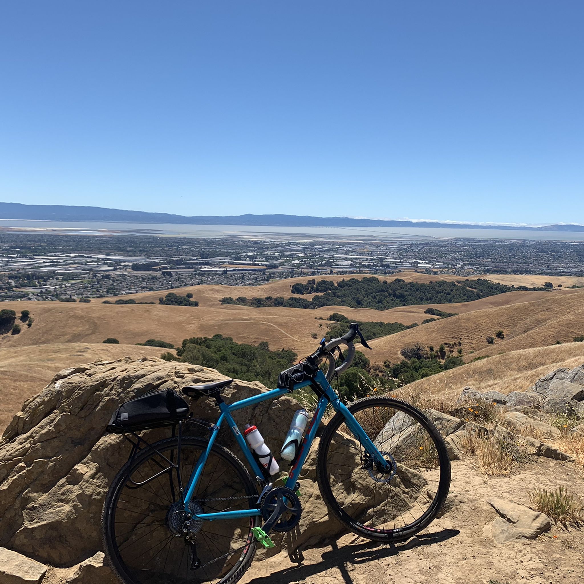
Cycling in the Coast Range
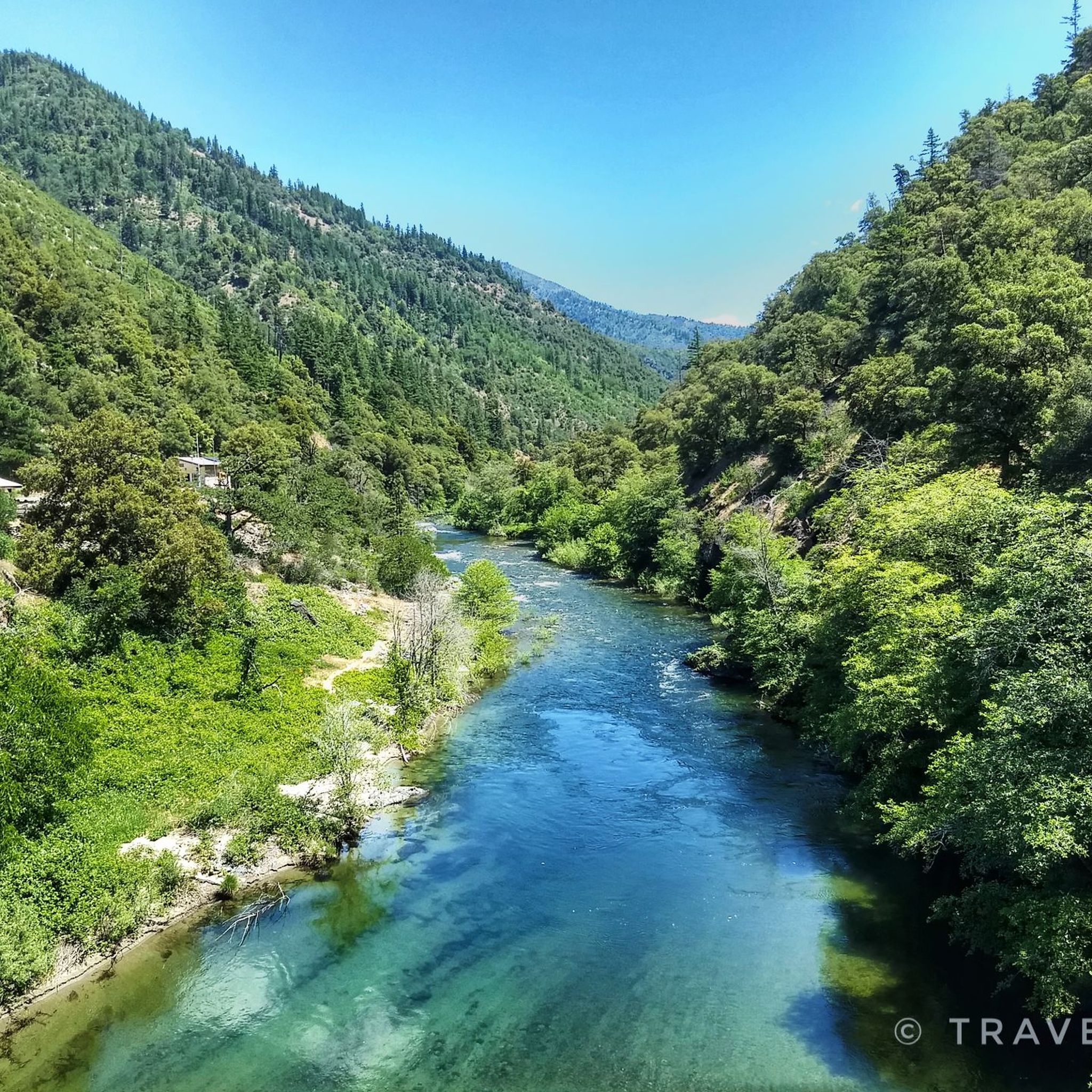
Hiking in the Coast Range
Other adventures in the Coast Range


Tips from the Community

The Sibling Staging Area at Sibley Volcanic Regional Preserve has 38 parking spots, public restrooms, a visitors center, educational signage, and a spot for filling water bottles.
0
0
Wildcat Creek Trail is a packed-dirt trail that is about four miles long. One end of the trail is at Jewel Lake, near the Environmental Education Center, and the other end of the trail is at the Alvarado Staging Area. This trail offers great views of Wildcat Creek and has some picnic tables you could stop at along the side of the trail.
0
0
Conlon Trail is a connector trail off of Nimitz Way Trail that spits you out on its south side at the intersection of Havey Canyon Trail and Wildcat Creek Trail. Conlon Trail offers from sweet views, but it's open to hikers and bikers, so keep an eye out for folks on foot.
0
0


Great visitor center at the entrance to the wildlife refuge. You can get maps and brochures, check out the informative displays and videos inside the center and use the binoculars to see the birdlife in the marsh.
0
0
Car-free bridge that takes you over CA-84. The bridge is part of the Quarry Trail and gives you a nice view of Red Hill in the distance.
0
0

Ruins of the old Olivina Winery. Julius Paul Smith build the estate and started growing wines in the area. From the late 1880s to 1904 Olivina was the largest wine producer in der area.
0
0
There is a paved foot & bike path that runs straight through the park to Arroyo Road, though I am not sure if it actually has an exit onto the road. It continues further into Veterans Park. Of the gravel trails some are closed to bikes for nature preservation reasons. Others allow for a (mostly) easy gravel ride.
0
0
Frequently Asked Questions
How many gravel bike trails are available in the Coast Range?
The Coast Range offers a wide variety of gravel biking experiences, with over 90 routes documented on komoot. These range from moderate to difficult, catering to different skill levels.
Are there any easy gravel biking routes for beginners or families?
While many routes in the Coast Range are challenging, there are options suitable for those seeking a less strenuous ride. The region's extensive network of forest roads allows for varied experiences. For a moderate option, consider the Alameda Creek Trail to the Bay – D.U.S.T. Trail loop from Fremont, which offers a relatively flat profile.
What kind of terrain can I expect on gravel bike trails in the Coast Range?
Gravel biking in the Coast Range features diverse terrain, often combining gravel and paved roads. You'll encounter everything from challenging climbs on logging roads to more relaxed rides through rural farmland and old-growth forests. The region is characterized by steep mountain slopes, sharp ridges, and extensive temperate rainforests.
What are some popular loop routes for gravel biking in the Coast Range?
Many gravel routes in the Coast Range are designed as loops, offering a comprehensive exploration of the area. Popular options include the challenging East Bay Skyline and Berkeley Hills Loop, the East Bay Skyline Loop, and the Joaquin Miller Park – Skyline Boulevard loop from MacArthur. For a coastal experience, try the Yachats State Recreation Area – Yachats loop from Yachats Ocean Road State Natural Site.
Are there any scenic viewpoints or natural attractions along the gravel trails?
Absolutely! The Coast Range is known for its dramatic scenery. Many routes offer panoramic skyline views, especially from higher elevations. You can also explore natural attractions such as the Bear Gulch Cave or the Alameda Creek Waterfall and Picnic Area. The region's dense forests and rugged coastlines provide stunning backdrops for your ride.
What is the best time of year to go gravel biking in the Coast Range?
The Coast Range experiences a mild, moist climate influenced by the ocean, making it the wettest and mildest in Oregon. While gravel biking is possible year-round, the spring and fall often offer the most pleasant conditions with moderate temperatures and less rain. Summer can be warm, especially inland, while winter brings more precipitation but can still be ridden, particularly on lower elevation routes.
Are there any permits required for gravel biking on forest roads in the Coast Range?
Generally, permits are not required for gravel biking on most public forest roads in the Coast Range. However, it's always advisable to check with the specific land management agency (e.g., Siuslaw National Forest, Oregon Department of Forestry) for any current regulations or closures, especially if you plan to venture into less-traveled areas.
What do other gravel bikers say about the Coast Range trails?
The gravel biking routes in the Coast Range are highly rated by the komoot community, with an average score of 4.5 stars from over 40 reviews. Nearly 600 gravel bikers have used komoot to explore the varied terrain, often praising the stunning scenery, solitude, and the extensive network of forest roads that allow for diverse and customizable rides.
Can I find trails that lead to waterfalls in the Coast Range?
Yes, the Coast Range features several beautiful waterfalls that can be incorporated into or found near gravel biking routes. Highlights include Alameda Creek Waterfall and Picnic Area, Little Yosemite, and Trillium Falls. These offer great spots for a break and to enjoy the natural beauty.
Are there any long-distance or challenging gravel routes for experienced riders?
The Coast Range is well-suited for experienced gravel riders looking for a challenge. Many routes feature significant elevation gain and cover substantial distances. For example, the Downtown Ukiah – Low Gap Park loop from Ukiah is a difficult 71.7 km route with considerable climbing. The region's logging roads often provide long, steep ascents and descents through impressive moss-covered forests.
Where can I find parking at trailheads for gravel biking in the Coast Range?
Parking availability varies by trailhead. Many forest roads and state parks offer designated parking areas. For routes starting near urban centers, such as those around the East Bay, you can often find street parking or public lots. It's recommended to check the specific route details on komoot or local park websites for parking information before your ride.
What are some other notable places to explore in the Coast Range besides the trails?
Beyond the gravel trails, the Coast Range offers numerous attractions. You can visit the Balconies Caves, explore the unique landscape of the Oregon Dunes National Recreation Area, or visit state parks like Ecola State Park and Oswald West State Park for stunning coastal views and hiking opportunities. Sycamore Grove Park also offers extensive trails and diverse wildlife.
Most popular routes in the Coast Range
Most popular attractions in the Coast Range

Get inspired with the komoot mobile app


Explore more
Browse the best Gravel rides in other regions.
