The best traffic-free bike rides in the Coast Range
4.4
(42)
566
riders
44
rides
Gravel biking in the Coast Range offers a diverse landscape characterized by rugged beauty, extensive networks of trails, and old logging roads. The region features forested hills, scenic descents, and routes that often avoid main highways, providing an immersive natural experience. This area is known for its dramatic bluffs, sea stacks, expansive beaches, and lush ancient forests. The varied terrain includes mountain peaks, valleys, and unique geological formations, making it well-suited for no traffic gravel bike trails.
Best no traffic…
Last updated: May 16, 2026
4.5
(2)
16
riders
31.7km
03:05
800m
800m
This challenging 19.7-mile gravel biking loop in the East Bay hills offers panoramic views and 2631 feet of climbing.
4.6
(5)
26
riders
48.8km
03:45
880m
880m
Hard gravel ride. Very good fitness required. Mostly paved surfaces. Suitable for all skill levels.

Sign up for free
5.0
(1)
25
riders
53.6km
03:57
1,000m
1,000m
Hard gravel ride. Very good fitness required. Mostly paved surfaces. Suitable for all skill levels.
19
riders
57.5km
03:44
1,160m
1,160m
Hard gravel ride. Very good fitness required. Mostly paved surfaces. Suitable for all skill levels.
5.0
(1)
15
riders
43.7km
02:11
100m
100m
Moderate gravel ride. Good fitness required. Mostly paved surfaces. Suitable for all skill levels.
Get access to more routes and recommendations from other explorers.
Sign up for free
Already have an account?
Our route recommendations are based on thousands of hikes, rides, and runs completed by other people on komoot.
Start today with a free account
Your next adventure awaits.
Login or Signup
Popular around Coast Range

Bay Area Ridge Trail — Circumnavigating the San Francisco Bay

Pacific Crest Trail from Mexico to Canada – 4,200 kilometres of wilderness

Bay Area Ridge Trail — Hiking the backbone of The Bay
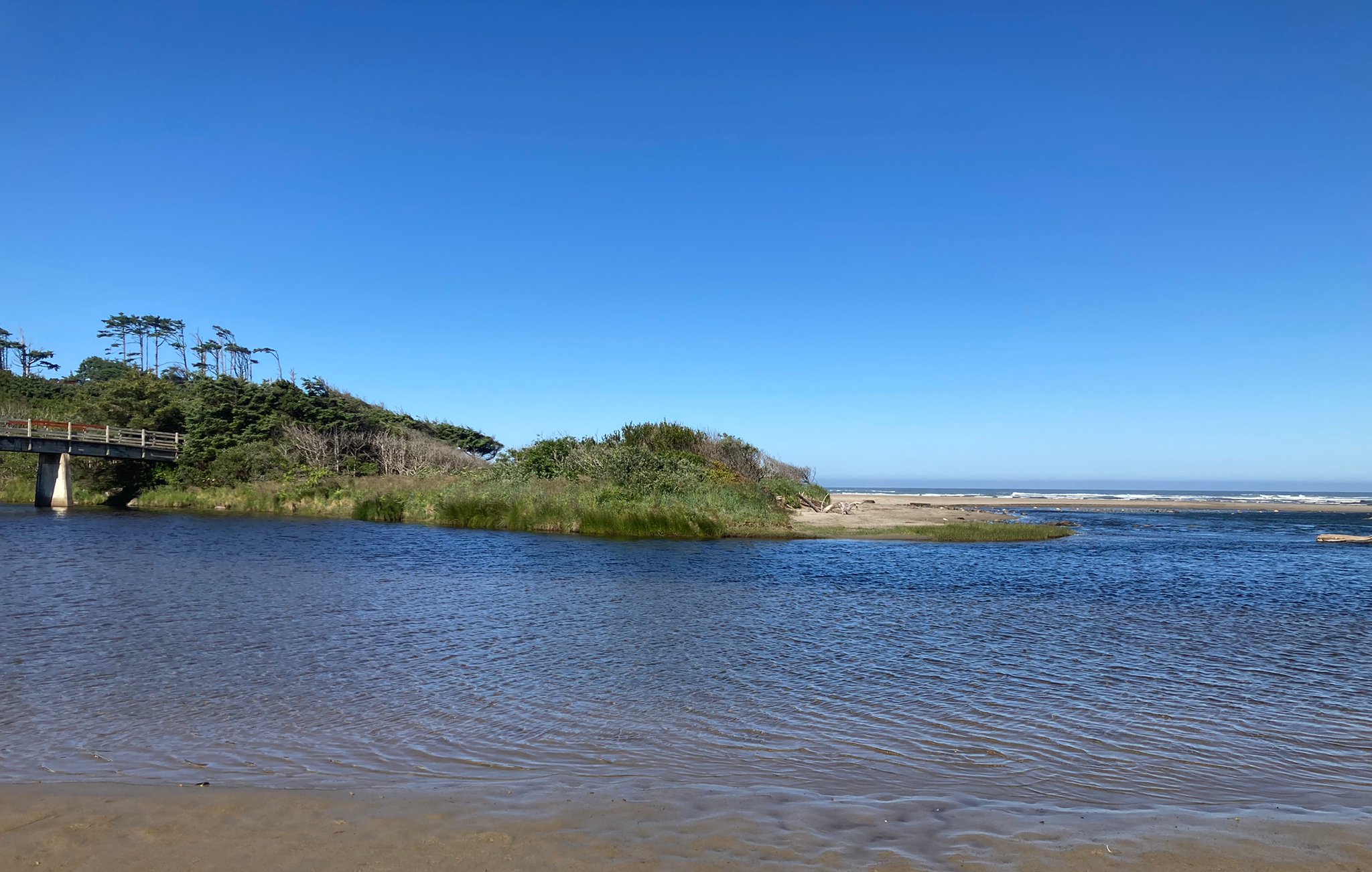
Corvallis-to-the-Sea Trail — Walk through wild Oregon

California Coastal Trail — Following the coastline from Mexico to Oregon

Bigfoot Trail — Exploring the remote Klamath Mountains
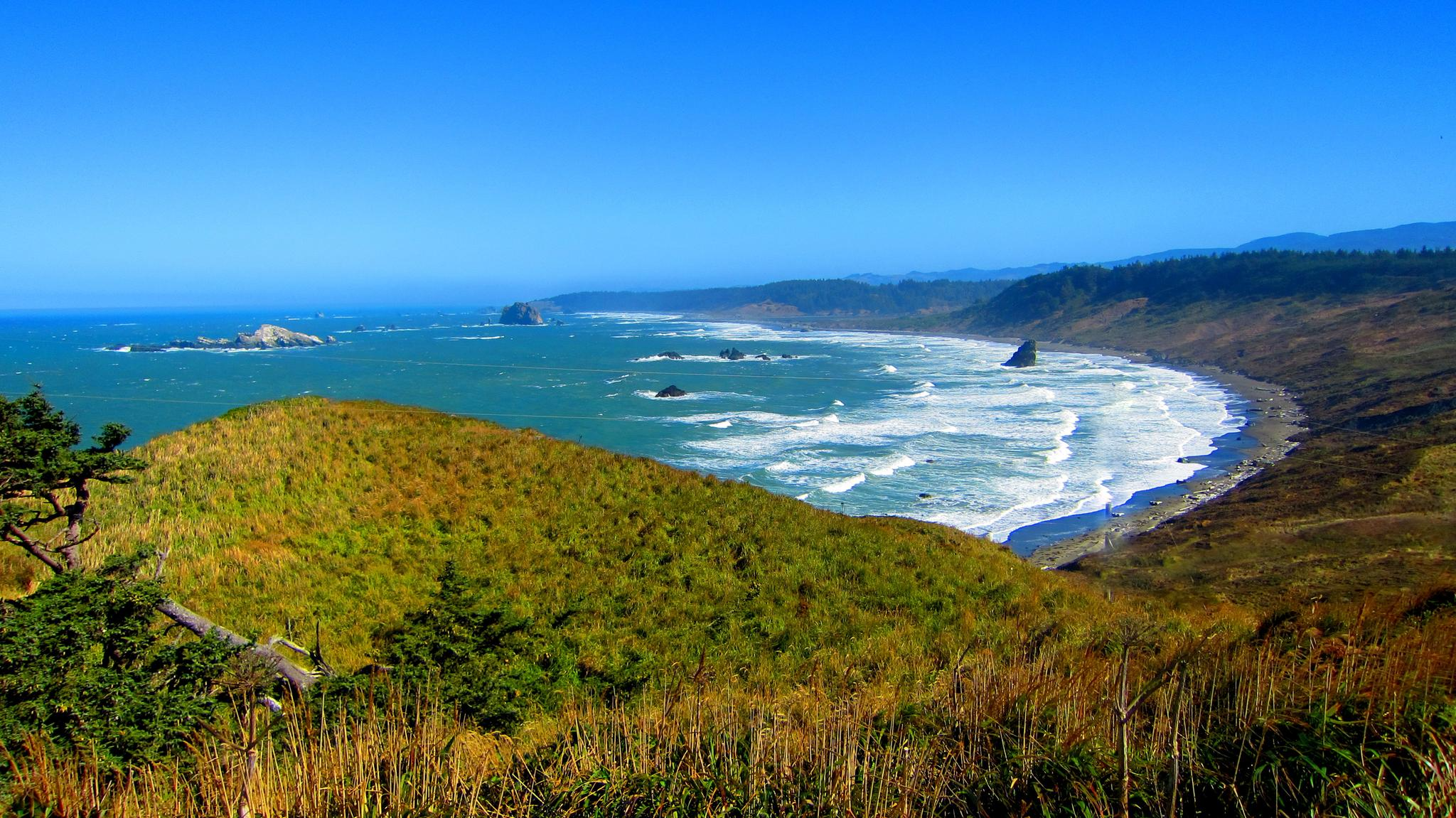
Oregon Coast Trail — An unforgettable walk along the Pacific's edge

Hiking treasures in the Bay Area

Traffic-free bike rides in the Coast Range

Traffic-free bike rides in the Coast Range
Other adventures in the Coast Range


Tips from the Community

One of the wonderfull view from the park. Please discover this park. You will not regret it
0
0

Wildcat Creek Trail is a packed-dirt trail that is about four miles long. One end of the trail is at Jewel Lake, near the Environmental Education Center, and the other end of the trail is at the Alvarado Staging Area. This trail offers great views of Wildcat Creek and has some picnic tables you could stop at along the side of the trail.
0
0
Conlon Trail is a connector trail off of Nimitz Way Trail that spits you out on its south side at the intersection of Havey Canyon Trail and Wildcat Creek Trail. Conlon Trail offers from sweet views, but it's open to hikers and bikers, so keep an eye out for folks on foot.
0
0

The San Francisco Bay Trail is a long bike route, and the Alameda Creek section is a nice, paved part of it. This segment is just one part of the extensive 500-mile trail that encompasses the Bay Area. Cyclists can enjoy a smooth ride along the Alameda Creek section.
0
0

The switchbacks of Centennial Drive open out to a parking lot and overlook. You are treated to sweeping views out across Berkely and San Francisco Bay all the way to the Golden Gate Bridge.
1
0
Ohlone Park is five-blocks long in size and a public green space. This park includes is a great place for kids, with its play gyms for all ages and there is an off-leash dog area.
0
0
At this junction, head south 300 feet past the parking lot to the Coyote Hills Regional Park Visitor Center. Here, visitors can find bathrooms, picnic areas, water fountains, and the Coyote Hills Nectar Garden. Check out the educational center to learn about the natural landscape and marshland.
0
0

Surprisingly lush and natural canyon in the residential area protected by a conservancy of neighbors and city agencies holding the plots in easements to keep it undeveloped and wild. Excellent bike route to climb more gently into the Oakland Hills avoiding the busy multilane Skyline Blvd.
0
0
Frequently Asked Questions
How many no-traffic gravel bike trails are available in the Coast Range?
The Coast Range offers over 40 dedicated no-traffic gravel bike trails, ranging from moderate to difficult. This extensive network ensures a diverse experience for riders looking to explore the region's natural beauty away from cars.
What kind of terrain can I expect on these traffic-free gravel routes?
You can expect a varied terrain on the Coast Range's traffic-free gravel routes. Many trails utilize old logging roads, leading you through lush forests, fern-lined paths, and offering scenic ascents into forested hills and descents. The region is known for its rugged beauty, diverse landscapes, and routes that often avoid long stretches of highway, providing an immersive natural experience.
Are there any family-friendly no-traffic gravel biking options in the Coast Range?
While many routes in the Coast Range are rated moderate to difficult, there are some options that might be suitable for families depending on their experience level. For example, the Alameda Creek Trail to the Bay – D.U.S.T. Trail loop from Fremont is a moderate route that offers a less challenging profile compared to some of the more strenuous climbs.
Can I bring my dog on these gravel bike trails?
The Coast Range features many natural areas and parks, but regulations regarding dogs on trails can vary. It's always best to check the specific rules for each park or forest you plan to visit. Generally, dogs are welcome on leash in many public outdoor spaces, but some protected wilderness areas or specific trails might have restrictions. Always ensure your dog is under control and follow Leave No Trace principles.
Are there any circular no-traffic gravel routes in the Coast Range?
Yes, the Coast Range offers several excellent circular routes for gravel biking. A notable example is the East Bay Skyline Loop, which provides a challenging yet rewarding experience. Another option is the Ohlone Park – Wildcat Creek Trail loop from MacArthur, offering a substantial ride through varied landscapes.
What interesting landmarks or natural features can I see along these routes?
The Coast Range is rich with natural beauty. Along various routes, you might encounter dramatic bluffs, sea stacks, and expansive beaches where mountains meet the Pacific Ocean. Highlights include Point Isabel Regional Shoreline Park, offering coastal views, or the challenging ascent to Mount Diablo Summit for panoramic vistas. You could also explore areas near Joaquin Miller Park, known for its dense forests.
What is the best season for car-free gravel biking in the Coast Range?
The Coast Range offers gravel biking opportunities year-round, but the best season often depends on your preference. Spring and fall provide pleasant temperatures and vibrant scenery. Summer is ideal for drier trails, while winter can bring challenging conditions like rain and mud, especially in the dense forests. Always check local weather and trail conditions before heading out.
Are there any routes that offer scenic viewpoints or coastal access?
Absolutely. The Coast Range is renowned for its dramatic meeting of mountains and ocean. While specific no-traffic gravel routes might vary in their proximity to the immediate coastline, many offer stunning views from higher elevations or lead to areas with coastal access. The Yachats State Recreation Area – Yachats loop, for instance, provides a route near the coast, allowing you to experience the rugged beauty of the Oregon Coast.
What do other gravel bikers enjoy most about the Coast Range?
The Coast Range is highly rated by the komoot community, with an average score of 4.5 stars. Reviewers often praise the region's ability to provide extensive networks of low-traffic byways and challenging off-pavement routes. Riders particularly enjoy the immersive natural experience, the varied terrain, and the opportunity to explore lush forests and scenic valleys away from vehicular traffic.
Are there any routes that pass through or near notable parks or forests?
Yes, many gravel routes in the Coast Range traverse or are adjacent to significant natural areas. For example, the Butters Canyon – Joaquin Miller Park loop from Fruitvale takes you through areas near Joaquin Miller Park, known for its forested trails. The region also includes parts of the Siuslaw National Forest and Tillamook State Forest, which are prime locations for extensive gravel road networks.
Where can I find parking and trailheads for these no-traffic gravel routes?
Parking and trailhead access points are typically available at the start of most routes or near designated recreational areas within the Coast Range. For specific routes, komoot tour pages often provide details on starting points and potential parking. Many routes, especially those utilizing old logging roads, can be accessed from various points along their length, often near small towns or forest service roads.
Most popular routes in the Coast Range
Most popular attractions in the Coast Range

Get inspired with the komoot mobile app


Explore more
Browse the best Gravel rides in other regions.
