The best traffic-free bike rides around Regionalverband Saarbrücken
4.5
(205)
1,151
riders
65
rides
Gravel biking around Regionalverband Saarbrücken offers a diverse landscape characterized by a mix of forest paths, agricultural roads, and single trails. The region features varied terrain, including significant elevation changes and serene riverine landscapes along the Saar. Riders can explore areas like the Saarbrücken Primeval Forest and parts of the Bliesgau Biosphere Reserve, which provide natural settings for outdoor activities.
Best no traffic gravel bike trails around Regionalverband Saarbrücken
- The most popular no traffic gravel bike trail is Großer Stiefel…
Last updated: July 10, 2026
4.8
(17)
35
riders
Hard gravel ride. Very good fitness required. You may need to push your bike for some segments of this route.
4.5
(4)
26
riders
29.2km
02:14
560m
560m
Hard gravel ride. Very good fitness required. Mostly paved surfaces. Suitable for all skill levels.

Sign up for free
4.3
(11)
40
riders
39.2km
02:19
440m
440m
Moderate gravel ride. Good fitness required. Mostly paved surfaces. Suitable for all skill levels.
4.8
(4)
38
riders
Hard gravel ride. Very good fitness required. Mostly paved surfaces. Suitable for all skill levels.
5.0
(1)
15
riders
Hard gravel ride. Very good fitness required. Mostly paved surfaces. Suitable for all skill levels.
Get access to more routes and recommendations from other explorers.
Sign up for free
Already have an account?
Our route recommendations are based on thousands of hikes, rides, and runs completed by other people on komoot.
Start today with a free account
Your next adventure awaits.
Login or Signup
Popular around Regionalverband Saarbrücken
Traffic-free bike rides around Quierschied

Traffic-free bike rides around Sulzbach/Saar
Traffic-free bike rides in St. Johanner Stadtwald

Traffic-free bike rides in Birzberg, Honigsack/Kappelberghang
Traffic-free bike rides in St. Arnualer Stiftswald
Traffic-free bike rides around Riegelsberg

Traffic-free bike rides in Wisch- Und Wogbachtal

Traffic-free bike rides in Köllertaler Wald, Bietschieder Bachtal (Teilbereich Riegelsberg)
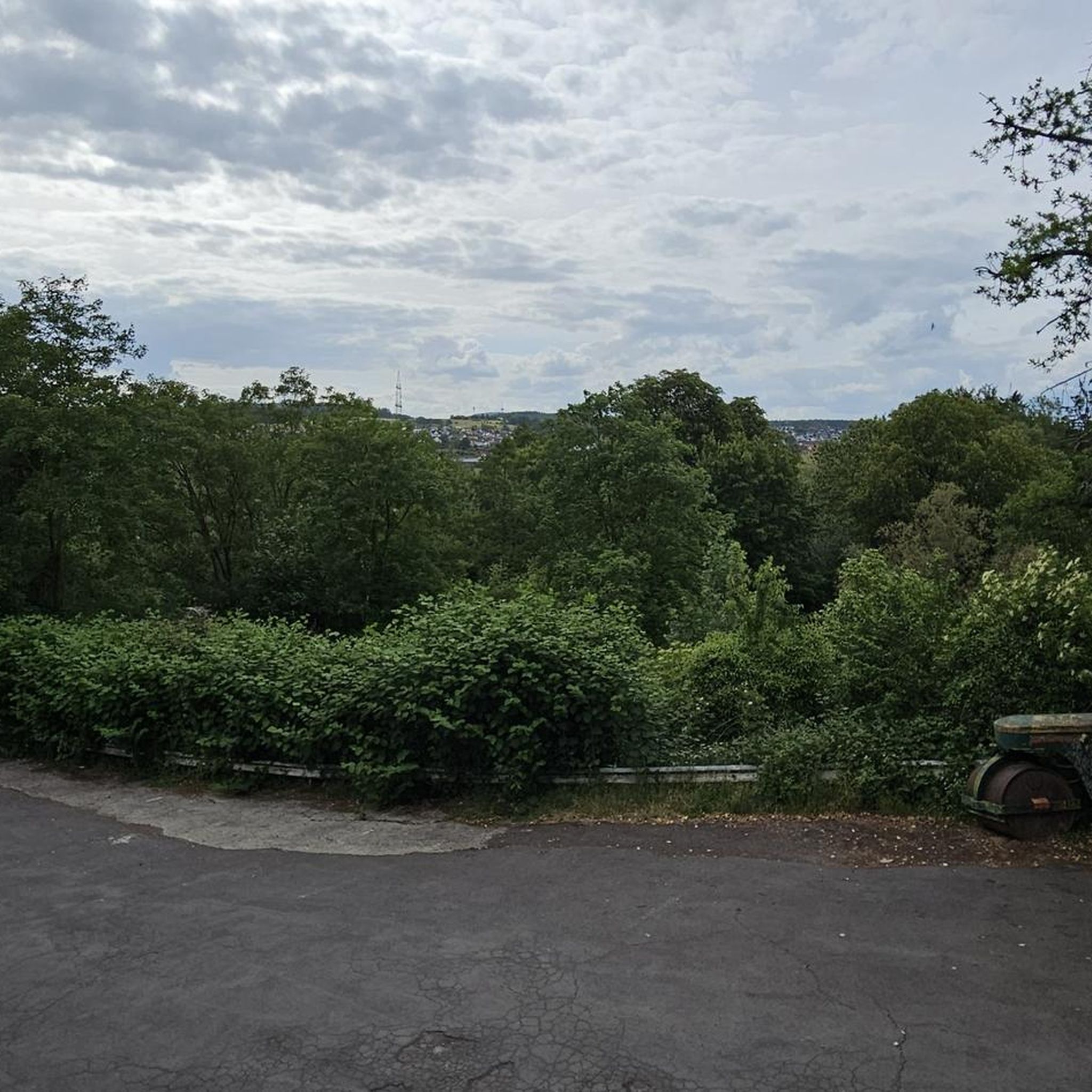
Traffic-free bike rides in Alt-Saarbrücker Stadtwald
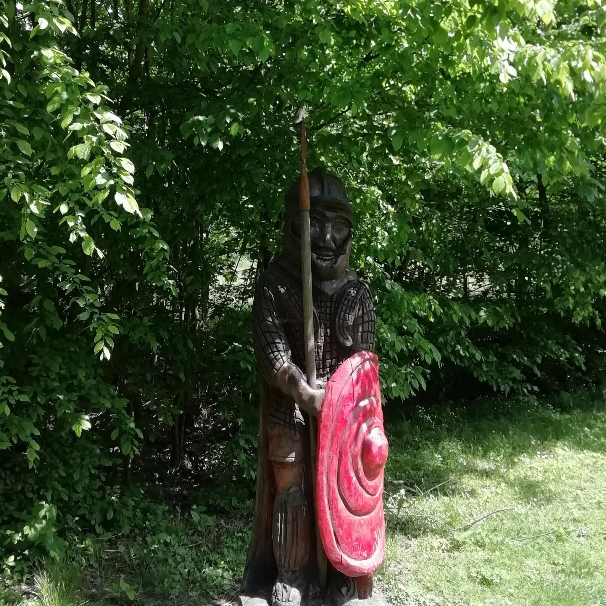
Traffic-free bike rides in Staatsforst Völklingen
Other adventures around Regionalverband Saarbrücken


Tips from the Community


Beautiful quiet hiking trail, very well signposted
1
0

Central point from which paths branch off in all directions
0
0


Works both ways. Also suitable for beginners.
0
0

Connection between Germany 🇩🇪 & France 🇫🇷
0
0

Frequently Asked Questions
How many no traffic gravel bike trails are available in Regionalverband Saarbrücken?
Komoot offers over 70 dedicated no traffic gravel bike trails in Regionalverband Saarbrücken. These routes cater to various skill levels, from moderate to difficult, ensuring a diverse experience for every rider.
What kind of terrain can I expect on these traffic-free gravel routes?
The traffic-free gravel routes in Regionalverband Saarbrücken feature a diverse mix of terrain. You'll encounter forest paths, agricultural roads, and some single trails. The region is known for its varied landscapes, including the serene Saarbrücken Primeval Forest and picturesque riverine sections along the Saar.
Are there options for beginners or families on traffic-free gravel trails?
Yes, while many routes are moderate to difficult, there are options suitable for beginners and families. Routes like the 'Netzbach Pond – Absinkweiher Fischbachtal loop' are described as moderate and mostly paved, offering a gentler experience. Look for routes with lower elevation gain and shorter distances for a more family-friendly ride.
What natural attractions or landmarks can I see along the no traffic gravel bike trails?
Many traffic-free gravel routes pass by interesting natural attractions and landmarks. You might encounter unique geological formations like the Burning Mountain or the Hohlenstein Rock Formation. The region also features scenic viewpoints such as the Schwarzenbergturm, offering far-reaching views.
Are there any challenging traffic-free gravel routes for experienced riders?
Absolutely. For experienced riders seeking a challenge, routes like the Großer Stiefel Trail – Grumbachtal Valley loop from Saarbrücken-Schafbrücke offer significant elevation gains of over 660 meters and can include sections where pushing your bike might be necessary. Another demanding option is the Mine Wendel – La Mine, Carreau Wendel loop from Hanweiler - Bad Rilchingen, which covers over 65 km with substantial climbing.
What do other gravel bikers say about the trails in Regionalverband Saarbrücken?
The gravel biking community highly rates the trails in Regionalverband Saarbrücken, with an average score of 4.5 stars from nearly 200 ratings. Riders often praise the diverse natural features, the extensive network of trails, and the opportunity to explore unique areas like the Saarbrücken Primeval Forest and the Bliesgau Biosphere Reserve.
Are there any traffic-free loop routes available for gravel biking?
Yes, many of the gravel bike trails in Regionalverband Saarbrücken are designed as loop routes, allowing you to start and end at the same point. Examples include the Niederwürzbacher Pond – Würzbacher Pond loop from Saarbrücken Ost and the Matz Bench – Karl-May-Weg Trail loop from Saarbrücken Ost, providing convenient circular tours.
Can I access these gravel trails using public transport?
The Regionalverband Saarbrücken region generally has good public transport connections. While specific bike transport policies vary, many starting points for gravel trails are accessible via local buses or trains. It's advisable to check the specific public transport provider's rules regarding bicycle carriage before planning your trip.
Are there places to stop for refreshments or find shelter along the routes?
Yes, the region has several huts and facilities that can serve as stopping points. For instance, you might find the Kirschheck Nature Friends' House or the Dorndorf Hut along certain routes. These spots can offer a place to rest or find refreshments, especially in more remote areas.
What is the best season for gravel biking in Regionalverband Saarbrücken?
Gravel biking in Regionalverband Saarbrücken is enjoyable across multiple seasons. Spring and autumn offer pleasant temperatures and vibrant scenery, while summer provides longer daylight hours. Even in winter, many trails remain rideable, though conditions can be muddy or icy, especially in forested areas. Always check local weather conditions before heading out.
Are there any cross-border gravel biking opportunities from Regionalverband Saarbrücken?
Yes, the region offers exciting cross-border routes. The Veloroute SaarLorLux, for example, has been adapted for gravel biking and connects Saarland with neighboring Lorraine (France) and Luxembourg. These routes provide unique multi-day backpacking tours through diverse river and lake landscapes.
Most popular routes around Regionalverband Saarbrücken
Most popular attractions around Regionalverband Saarbrücken

Get inspired with the komoot mobile app


Didn’t find what you were looking for?
Check out more Gravel rides throughout Regionalverband Saarbrücken below and find the perfect route in your destination.
Explore more
Browse the best Gravel rides in other regions.
