The best MTB trails around Regionalverband Saarbrücken
4.5
(3760)
11,435
riders
621
rides
Mountain biking around Regionalverband Saarbrücken offers diverse landscapes, from forested hillsides to river valleys, providing varied terrain for all skill levels. The region is characterized by extensive forests, including the Saarbrücken Primeval Forest, and the scenic Saar River, which shapes the topography. These natural features create a network of mountain bike trails with varying difficulty and elevation profiles, making it a compelling destination for outdoor enthusiasts.
Best mountain bike trails in Regionalverband Saarbrücken
- The most popular mountain bike trail is…
Last updated: November 5, 2026
4.8
(66)
132
riders
50.8km
03:41
480m
480m
Hard mountain bike ride. Good fitness required. Advanced riding skills necessary. Some portions of the route may require you to push your bike.
4.5
(56)
182
riders
Moderate mountain bike ride. Good fitness required. Advanced riding skills necessary.

4.6
(30)
201
riders
21.3km
01:53
510m
510m
Hard mountain bike ride. Good fitness required. Advanced riding skills necessary. Some portions of the route may require you to push your bike.
4.6
(78)
131
riders
Moderate mountain bike ride. Good fitness required. Advanced riding skills necessary.
4.3
(21)
143
riders
44.6km
04:09
780m
780m
Hard mountain bike ride. Good fitness required. Advanced riding skills necessary. Some portions of the route may require you to push your bike.
4.3
(21)
176
riders
12.3km
01:26
430m
430m
Hard mountain bike ride. Good fitness required. Advanced riding skills necessary. Some portions of the route may require you to push your bike.
4.4
(42)
153
riders
27.1km
01:29
160m
160m
Easy mountain bike ride.
4.6
(45)
143
riders
Moderate mountain bike ride. Good fitness required.
5.0
(43)
297
riders
25.6km
02:37
760m
760m
Hard mountain bike ride. Good fitness required. Advanced riding skills necessary. Some portions of the route may require you to push your bike.
4.8
(47)
85
riders
Moderate mountain bike ride. Good fitness required. Advanced riding skills necessary.
Get access to more routes and recommendations from other explorers.
Already have an account?
Our route recommendations are based on thousands of hikes, rides, and runs completed by other people on komoot.
Start today with a free account
Your next adventure awaits.
Popular around Regionalverband Saarbrücken
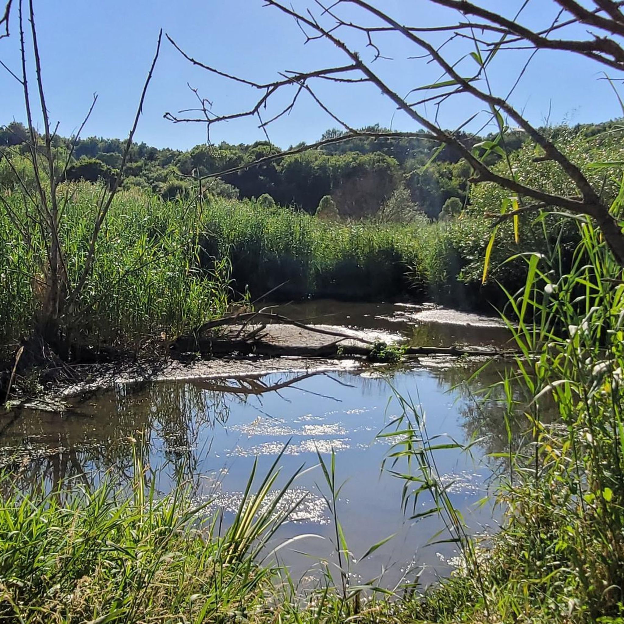
MTB Trails around Völklingen

MTB Trails in Staatsforst Saarbrücken
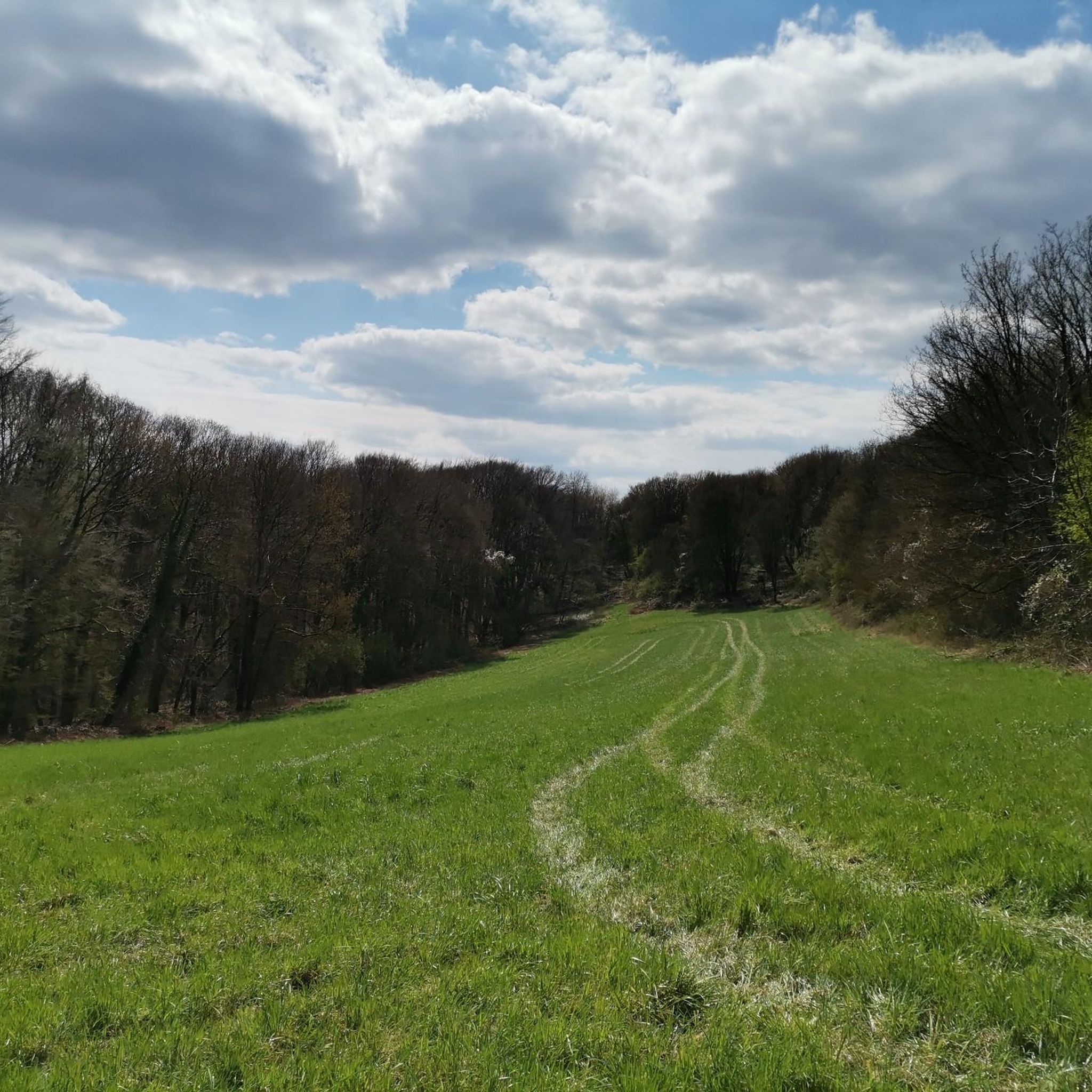
MTB Trails in Wisch- Und Wogbachtal

MTB Trails in St. Arnualer Stiftswald
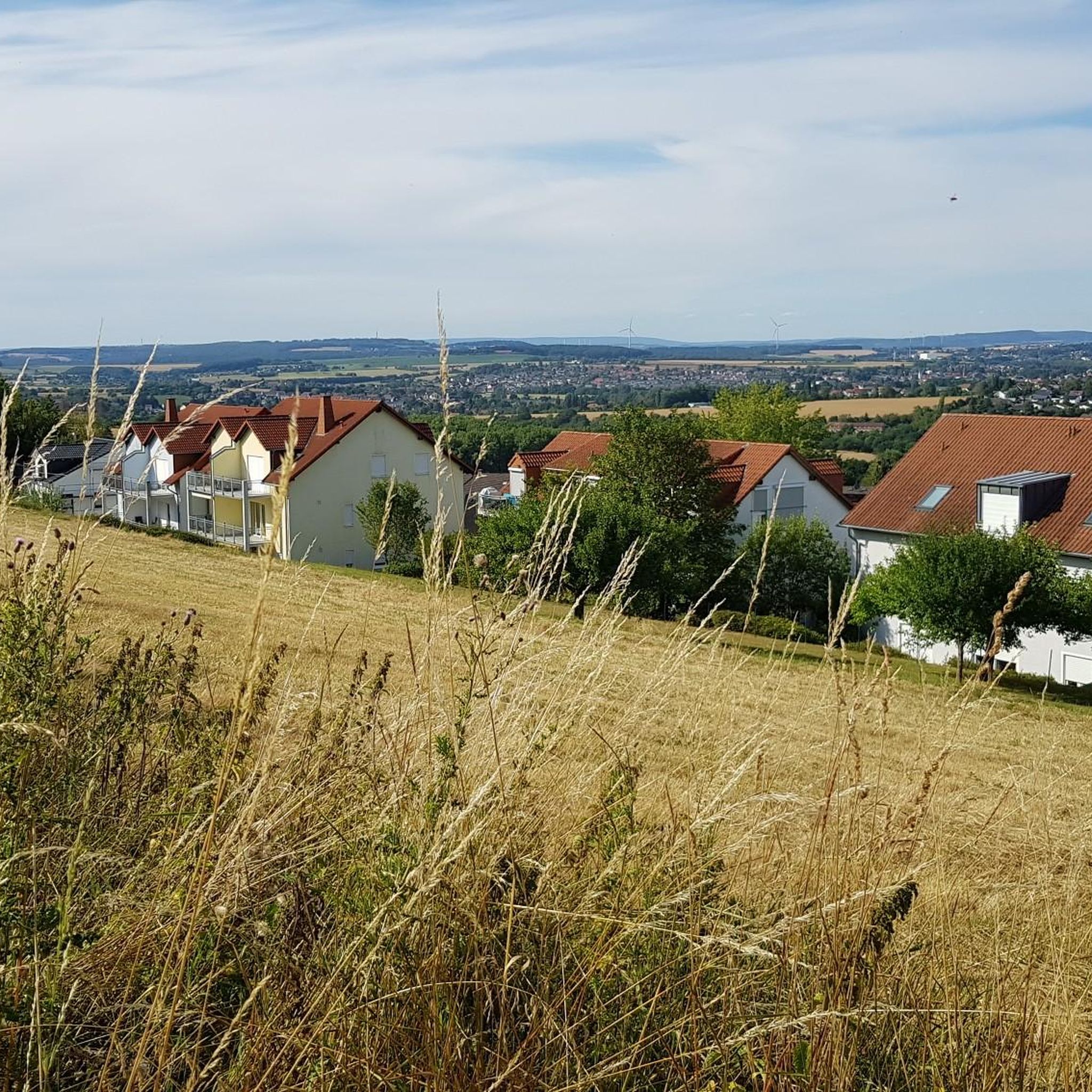
MTB Trails around Riegelsberg
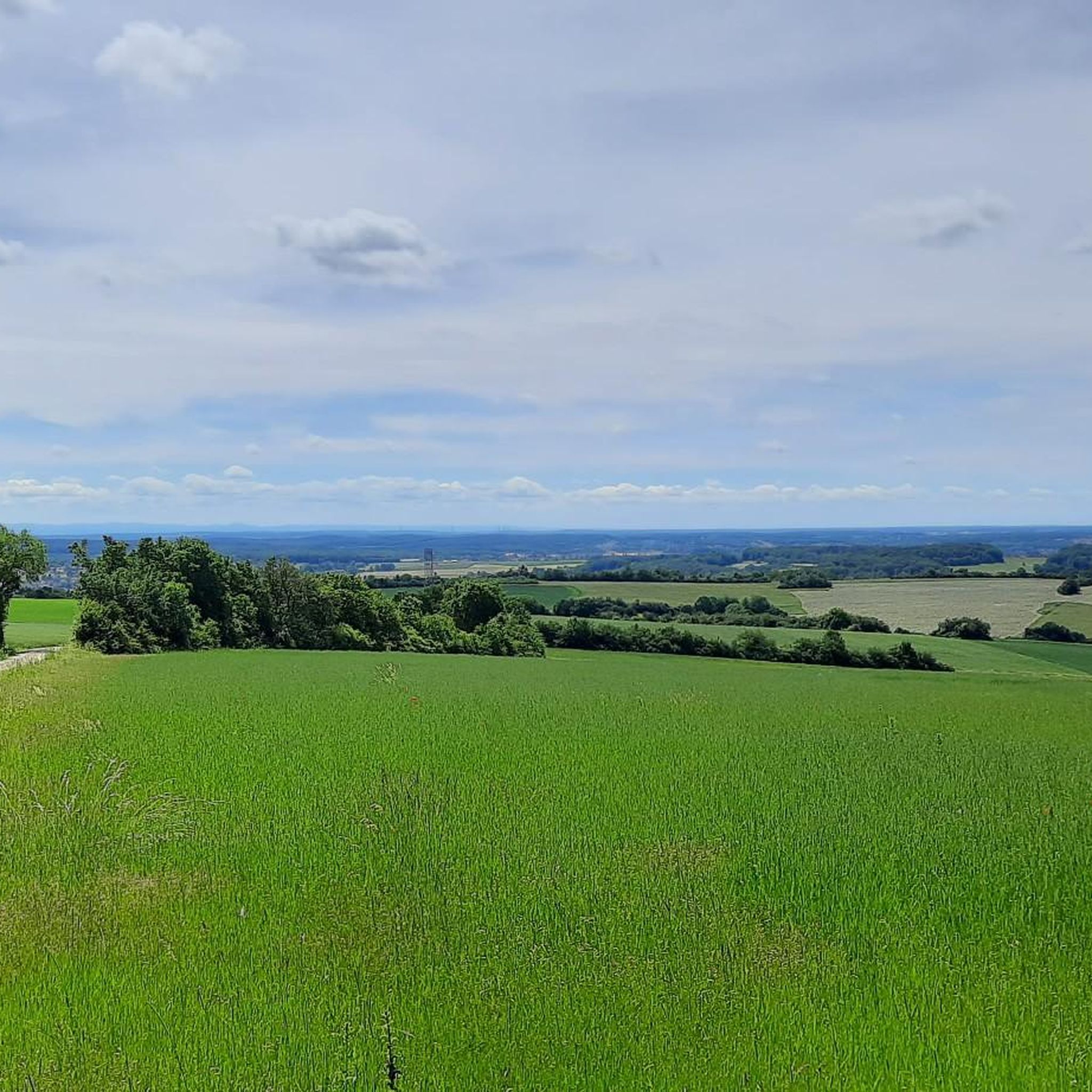
MTB Trails around Kleinblittersdorf
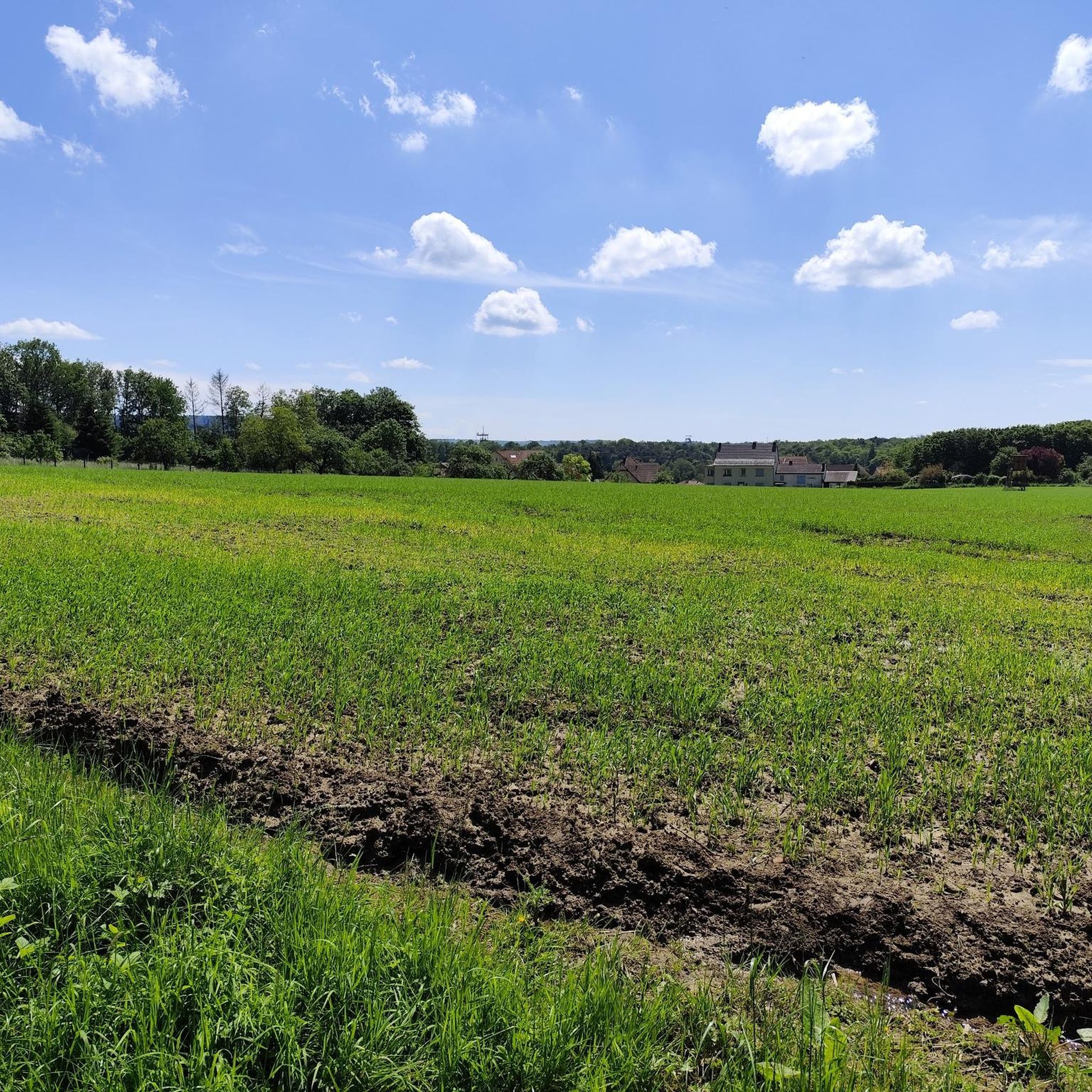
MTB Trails in Alt-Saarbrücker Stadtwald

MTB Trails in Urwald - Waldschutzgebiet Steinbach- Und Netzbachtal

MTB Trails in Gemeindewald Auersmacher - Bliesbogen
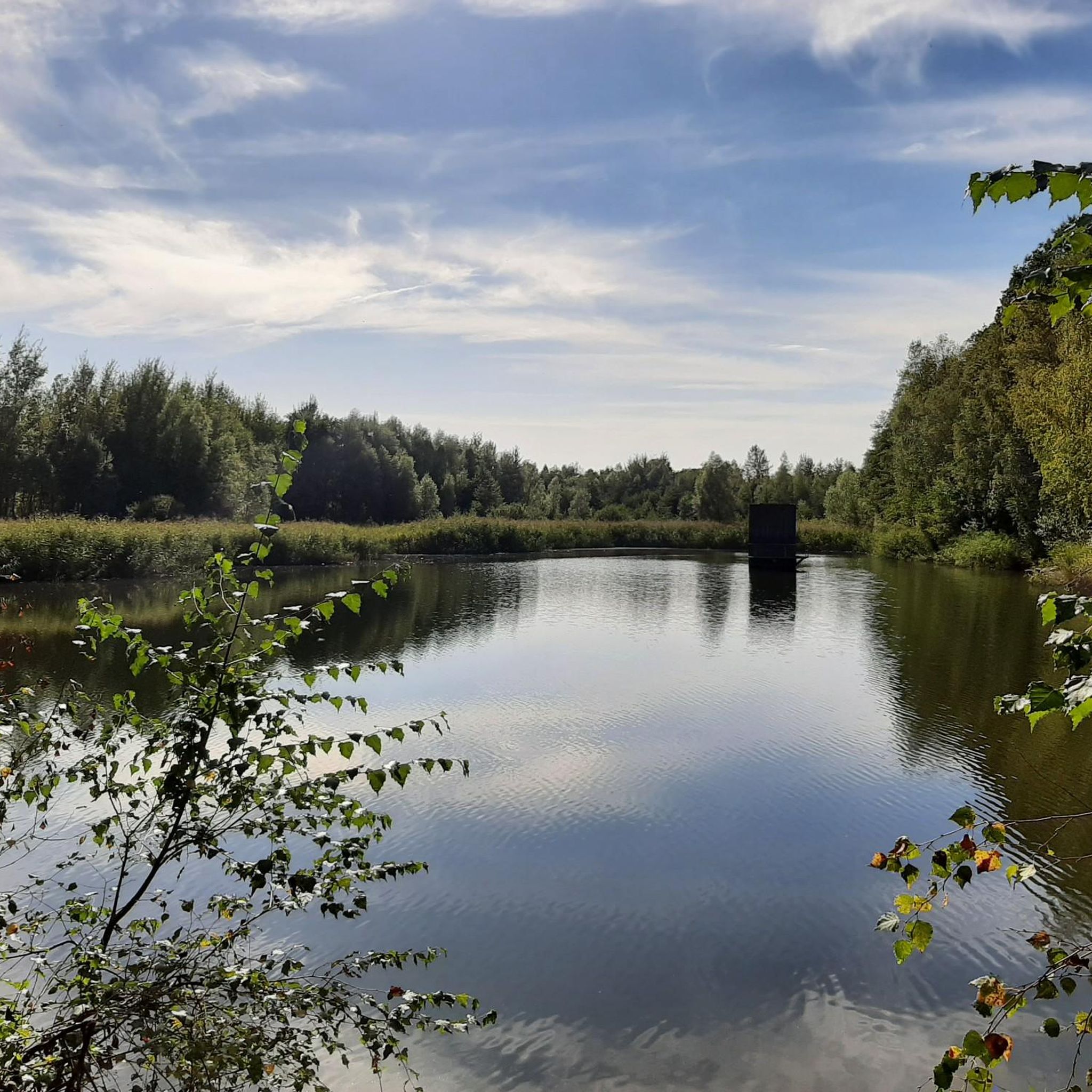
MTB Trails around Püttlingen
Other adventures around Regionalverband Saarbrücken


Tips from the Community

Especially in autumn it is very beautiful there.
0
0

The entrance area of the "Team Aronia+" trail (official name according to signage) was unfortunately severely damaged in October 2026 by forestry work (as was the section leading from the sports field fence to the gravel path towards Rentrisch). While for unofficial trails that are destroyed like this it "just stays that way" 😡, I hope that in this case the city will hold those responsible for the forestry work accountable to get things halfway back in order here.
0
0

The gravel path leads over the ridge between Püttlingen and Elm/Derlen. Again and again you have a beautiful view into both valleys.
1
0

The Völklinger Hütte is an impressive monument from the heyday of industrialization, which was rightly included in the UNESCO World Heritage list. It makes the dimensions, but also the working conditions very vivid; anyone who has not yet been to an iron or steelworks, for example in the Ruhr area, should definitely join a guided tour.
0
0

Currently (06/2026) there are many logs on the trail. It seems as if they were intentionally placed on the path.
0
0

Runs directly next to the Bouser Pfädchen. Coming from the north as a "downhill"
0
0

The fishing hut on the grounds of the Bous Angling Club is an ideal starting point for the Bous Trail: Here you'll find a large overview sign showing the route (both the short and long trails), and you're immediately out in nature by the water. It's a peaceful place to arrive – and later a lovely destination when the loop ends back at the Bommersbach stream/pond. If you'd like to stop for refreshments: According to the club, the fishing hut is currently only open on a limited basis; it's best to check the current opening hours with the ASV (Angling Club). https://www.asv-bous.de/fischerhuette/
0
0

The Völklingen Ironworks is a paradise for photographers and industrial enthusiasts. A must-see for many.
1
0
Frequently Asked Questions
How many mountain bike trails are available in Regionalverband Saarbrücken?
Regionalverband Saarbrücken offers a wide selection of mountain biking opportunities, with over 600 routes available on komoot. These trails cater to various skill levels, from easy rides to challenging singletracks.
What types of mountain bike trails can I find in Regionalverband Saarbrücken?
The region features diverse terrain, including forested hillsides, river valleys, and dedicated singletracks. You'll find everything from leisurely rides along riverbanks to challenging forest trails with significant elevation gain. The network includes 144 easy, 411 moderate, and 73 difficult routes.
Are there any family-friendly mountain bike trails in Regionalverband Saarbrücken?
Yes, there are numerous family-friendly options, particularly among the 144 easy routes available. While specific family-designated trails aren't listed, routes with less elevation and smoother paths, often found along river valleys, are generally suitable for families. Always check the route details for specific difficulty and terrain before heading out.
Can I bring my dog on the mountain bike trails in Regionalverband Saarbrücken?
Many trails in the Regionalverband Saarbrücken, especially those through the extensive forests and natural areas, are generally dog-friendly. However, it's always advisable to keep your dog on a leash, especially in nature reserves like the Saarbrücken Primeval Forest, and to be mindful of other trail users and local regulations. Check individual route descriptions for any specific restrictions.
What are some notable landmarks or viewpoints I can visit while mountain biking?
You can incorporate scenic viewpoints and natural features into your rides. The Schwarzenbergturm offers panoramic views of the Saar Valley. For a unique natural experience, consider trails near the Grumbachtal Valley or the Jungle Trail Gehlenberg. The region also features the Felsenbrunnen Waterfall, which can be a refreshing stop.
Are there any circular mountain bike routes available?
Yes, many of the mountain bike routes in Regionalverband Saarbrücken are designed as circular loops, allowing you to start and end at the same point. Examples include the difficult Schwarzenberg Tower – Jungle Trail Gehlenberg loop from Saarland University (15.2 km) or the moderate Römerweg Püttlingen – Panorama Trail Köllerbachtal loop from Heusweiler (31.9 km).
What is the best time of year for mountain biking in Regionalverband Saarbrücken?
The region is generally suitable for mountain biking throughout much of the year. Spring and autumn offer pleasant temperatures and vibrant scenery, while summer provides longer daylight hours. Even in winter, some trails may be rideable, though conditions can vary, especially in forested areas. Always check local weather and trail conditions before you go.
Are there any easy mountain bike trails for beginners?
Absolutely. Out of over 600 routes, 144 are classified as easy, making them ideal for beginners or those looking for a more relaxed ride. A good example is the Völklinger Hütte – Saar Riverside Trail loop from Völklingen, which is an easy 35.4 km route with minimal elevation gain.
What do other mountain bikers enjoy most about the trails in Regionalverband Saarbrücken?
The komoot community highly rates the mountain biking experience in Regionalverband Saarbrücken, with an average score of 4.5 stars from over 2,900 reviews. Riders often praise the diverse landscapes, from dense forests to scenic river valleys, and the well-maintained network of trails that cater to all skill levels. The blend of natural beauty and varied terrain makes it a compelling destination.
Are there any specific mountain bike parks or dedicated trail areas?
Yes, the region is known for dedicated mountain biking areas. You can explore highlights like the Flowtrail Homburg or the Angry Jens MTB Trail, which are part of the network of trails developed by local mountain bike clubs. These areas often feature purpose-built trails for an enhanced riding experience.
How can I find parking or access trails via public transport?
Many routes start near urban centers or accessible points, often indicating starting points like "from Saarbrücken Hauptbahnhof" or "from Saarland University." For specific trailheads, parking information is usually available in the detailed route descriptions on komoot. Public transport options to reach starting points in and around Saarbrücken are also generally good, connecting to various parts of the region.
Are there any challenging mountain bike trails for experienced riders?
Experienced riders will find plenty of challenges among the 73 difficult routes in the region. Trails like the Flowtrail Homburg – Schwarzenberg Tower loop from Saarbrücken Hauptbahnhof (42.0 km with over 1000m elevation gain) offer significant technical sections and demanding climbs through varied forest paths.
Most popular routes around Regionalverband Saarbrücken
Most popular attractions around Regionalverband Saarbrücken

Get inspired with the komoot mobile app


Didn’t find what you were looking for?
Check out more MTB trails throughout Regionalverband Saarbrücken below and find the perfect route in your destination.
Explore more
Browse the best MTB trails in other regions.
