The best gravel rides around Regionalverband Saarbrücken
4.5
(182)
1,031
riders
107
rides
Gravel biking around Regionalverband Saarbrücken offers diverse landscapes, characterized by extensive forests, including the Saarbrücken Primeval Forest, and varied terrain. The region features river valleys such as the Saar and Blies, alongside rolling hills and former mining heaps repurposed as scenic viewpoints. This geological and natural diversity creates dynamic gravel biking opportunities across the area, from wooded floodplains to agricultural paths within the Bliesgau Biosphere Reserve.
Best gravel bike trails around Regionalverband Saarbrücken
- The most popular gravel bike trail is…
Last updated: May 22, 2026
4.3
(13)
53
riders
35.9km
02:11
360m
360m
Moderate gravel ride. Good fitness required. Mostly paved surfaces. Suitable for all skill levels.
4.9
(15)
76
riders
Hard gravel ride. Very good fitness required. Mostly paved surfaces. Suitable for all skill levels.

Sign up for free
4.8
(15)
34
riders
Hard gravel ride. Very good fitness required. You may need to push your bike for some segments of this route.
4.5
(17)
76
riders
37.1km
02:05
290m
290m
Moderate gravel ride. Good fitness required. Mostly paved surfaces. Suitable for all skill levels.
4.5
(2)
21
riders
48.0km
03:09
630m
630m
Hard gravel ride. Very good fitness required. You may need to push your bike for some segments of this route.
4.7
(3)
22
riders
29.3km
02:14
560m
560m
Hard gravel ride. Very good fitness required. Mostly paved surfaces. Suitable for all skill levels.
4.9
(15)
84
riders
63.6km
03:37
560m
560m
Hard gravel ride. Very good fitness required. Mostly paved surfaces. Suitable for all skill levels.
11
riders
39.9km
02:44
570m
570m
Hard gravel ride. Very good fitness required. Mostly paved surfaces. Suitable for all skill levels.
4.6
(14)
39
riders
42.0km
02:35
420m
420m
Moderate gravel ride. Good fitness required. Mostly paved surfaces. Suitable for all skill levels.
4.7
(3)
34
riders
Hard gravel ride. Very good fitness required. Mostly paved surfaces. Suitable for all skill levels.
Get access to more routes and recommendations from other explorers.
Sign up for free
Already have an account?
Our route recommendations are based on thousands of hikes, rides, and runs completed by other people on komoot.
Start today with a free account
Your next adventure awaits.
Login or Signup
Popular around Regionalverband Saarbrücken
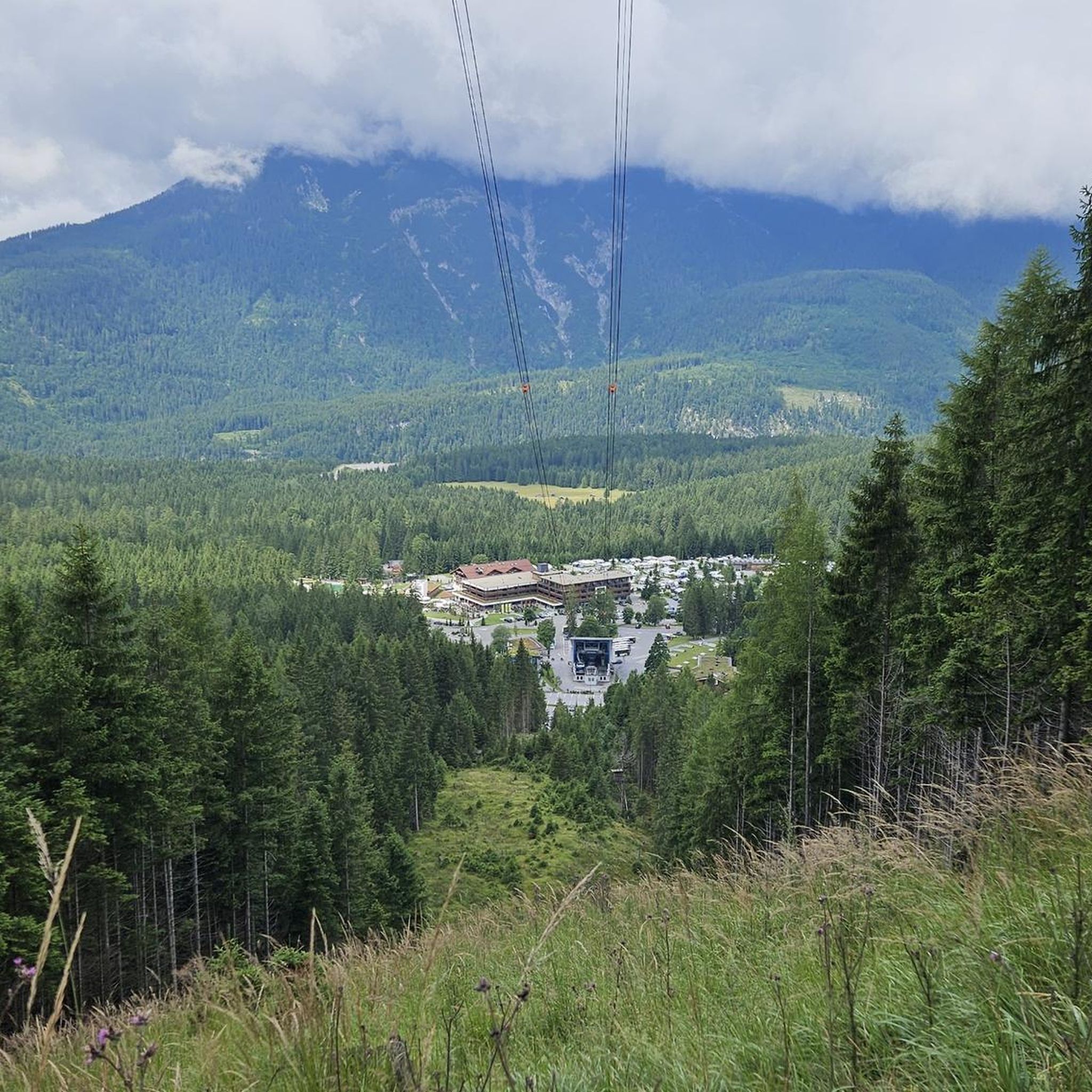
Gravel biking in St. Arnualer Stiftswald
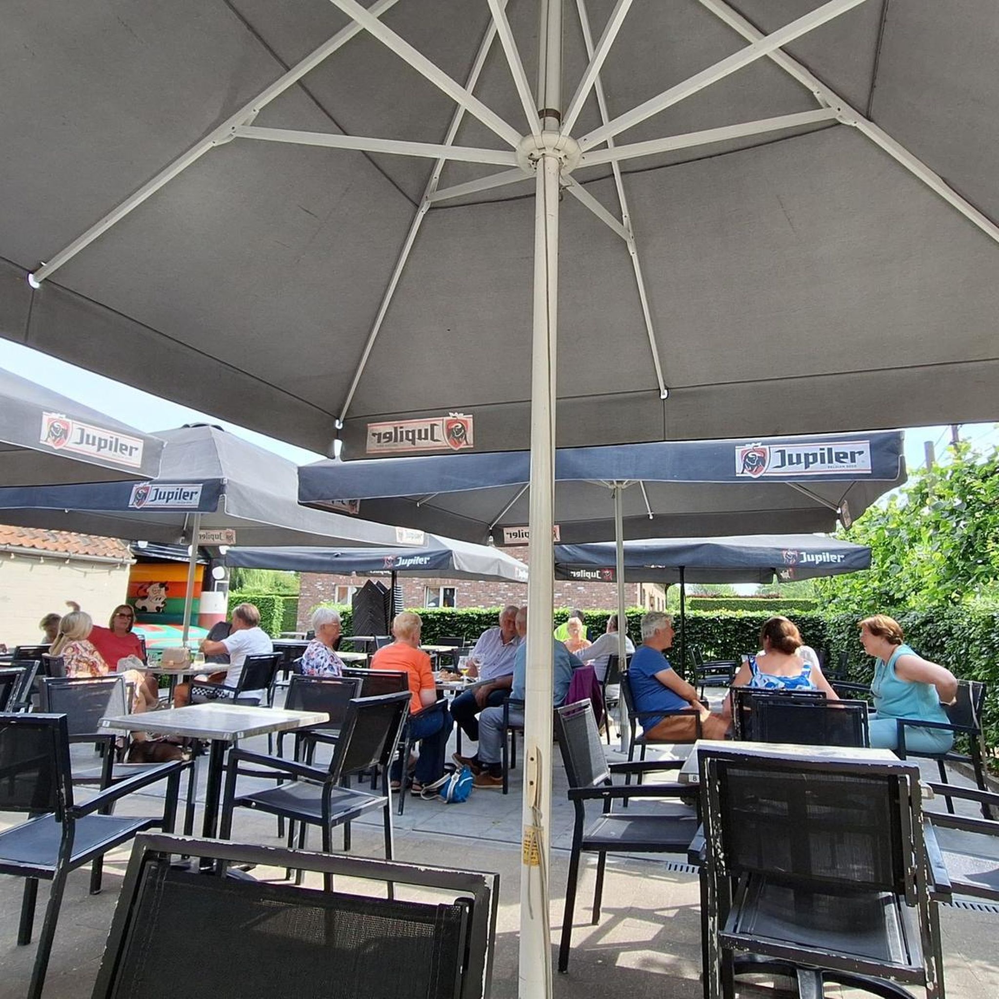
Gravel biking in St. Johanner Stadtwald
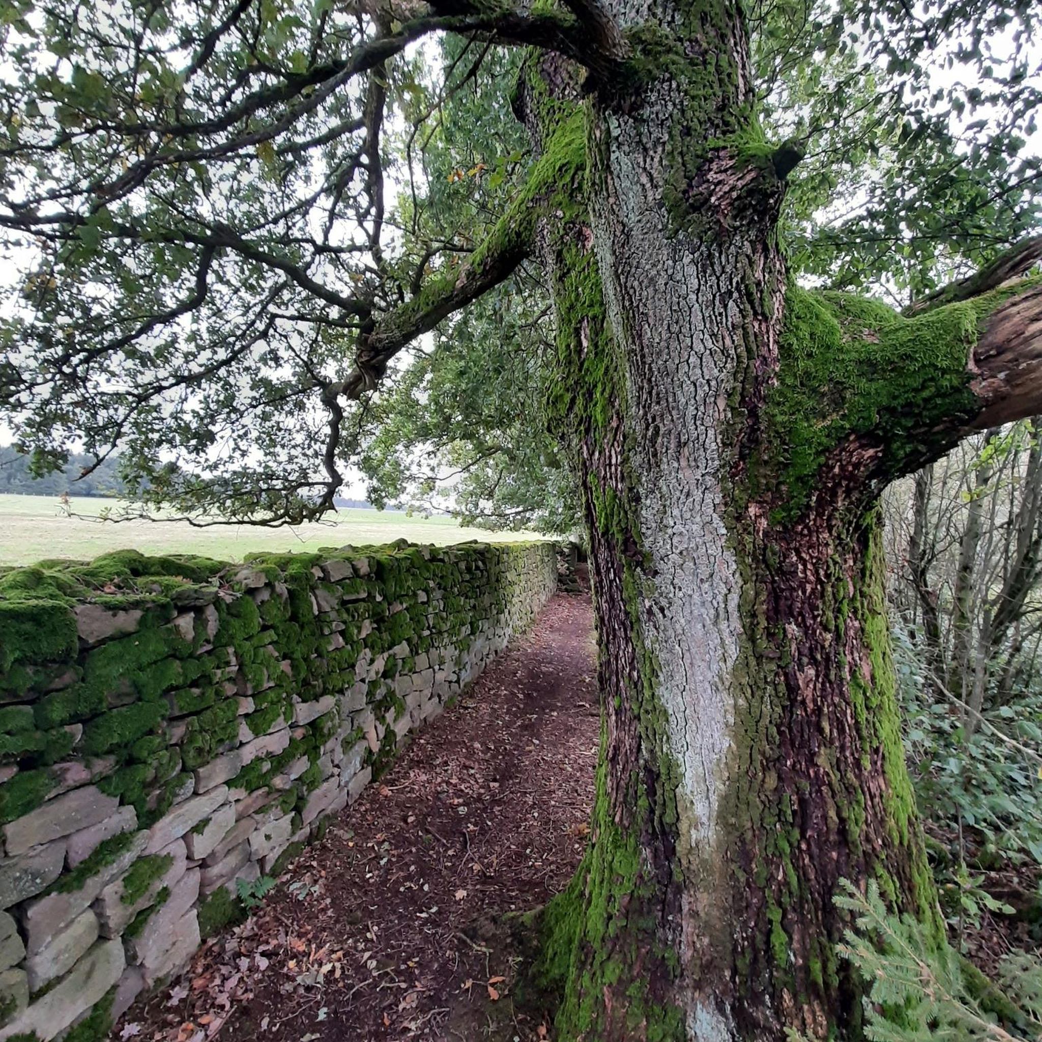
Gravel biking in Alt-Saarbrücker Stadtwald
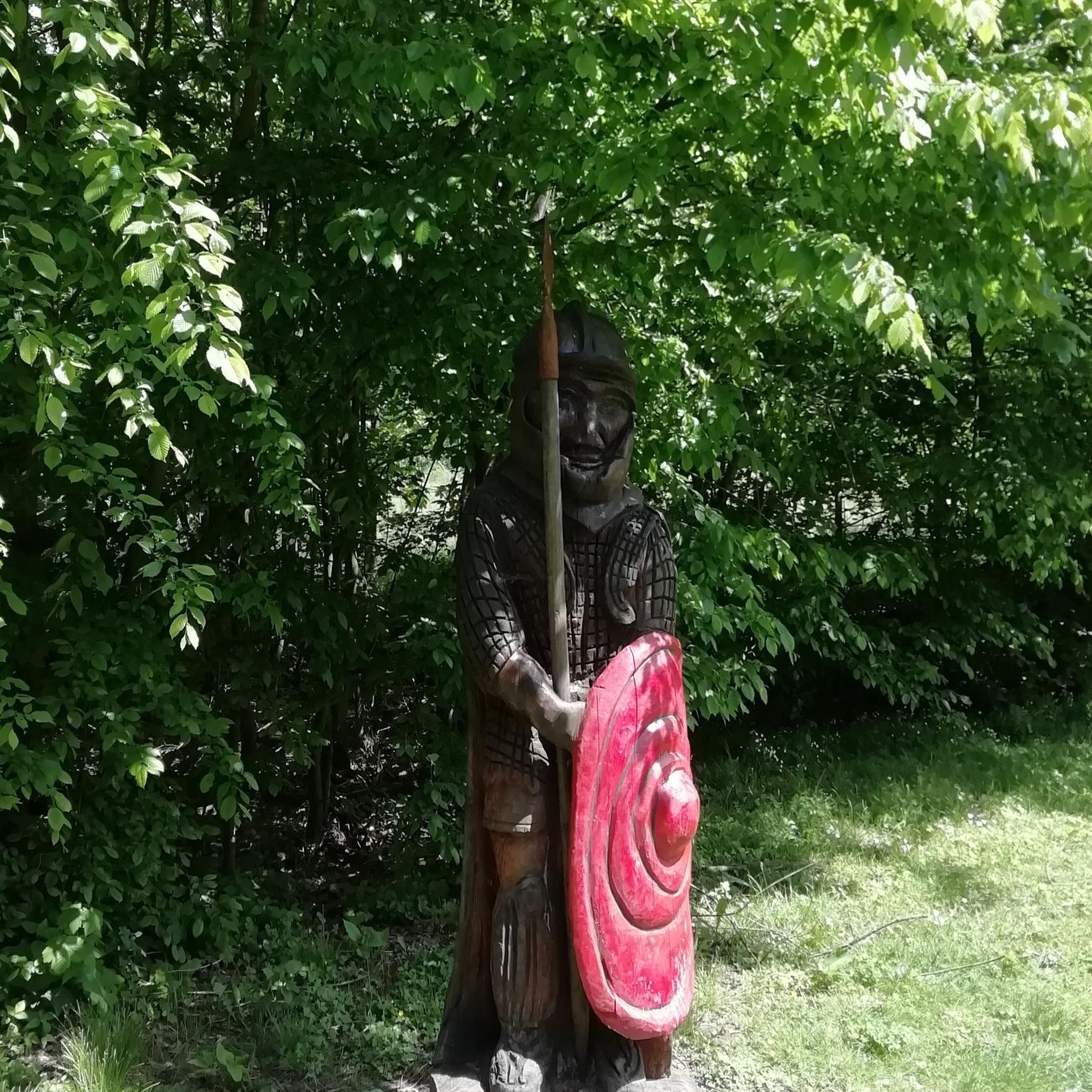
Gravel biking in Staatsforst Völklingen
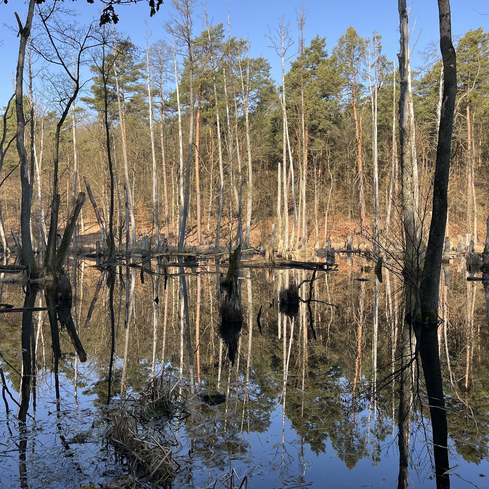
Gravel biking in Urwald - Waldschutzgebiet Steinbach- Und Netzbachtal

Gravel biking in Staatsforst Saarbrücken
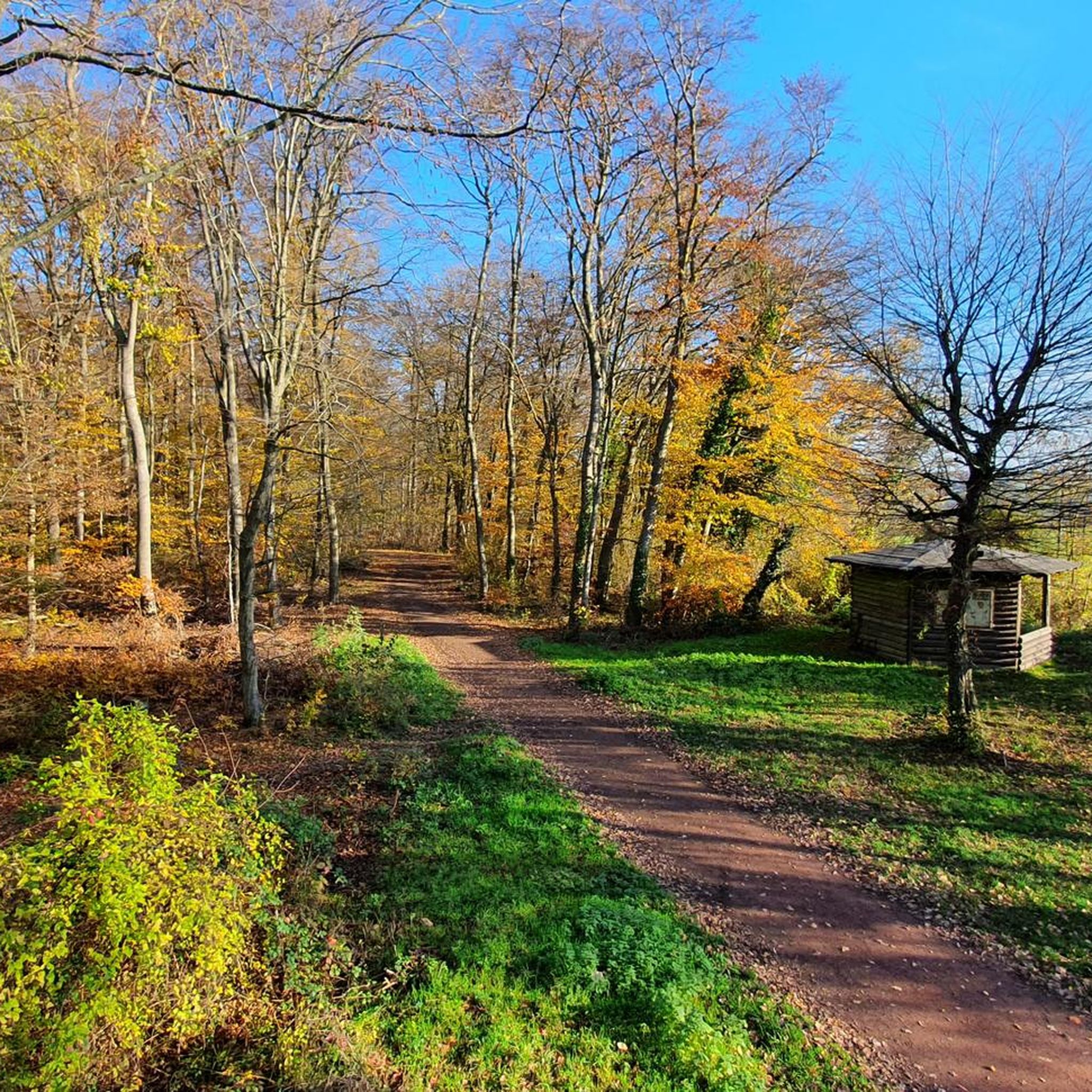
Gravel biking in Wisch- Und Wogbachtal
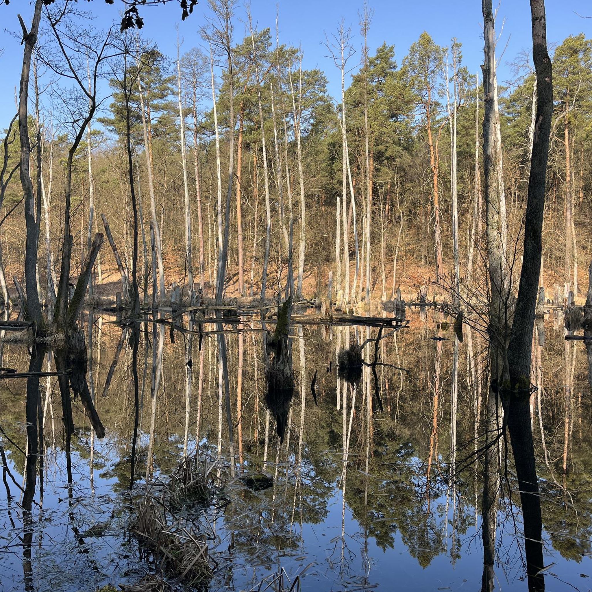
Gravel biking around Riegelsberg

Gravel biking in Köllertaler Wald, Bietschieder Bachtal (Teilbereich Riegelsberg)
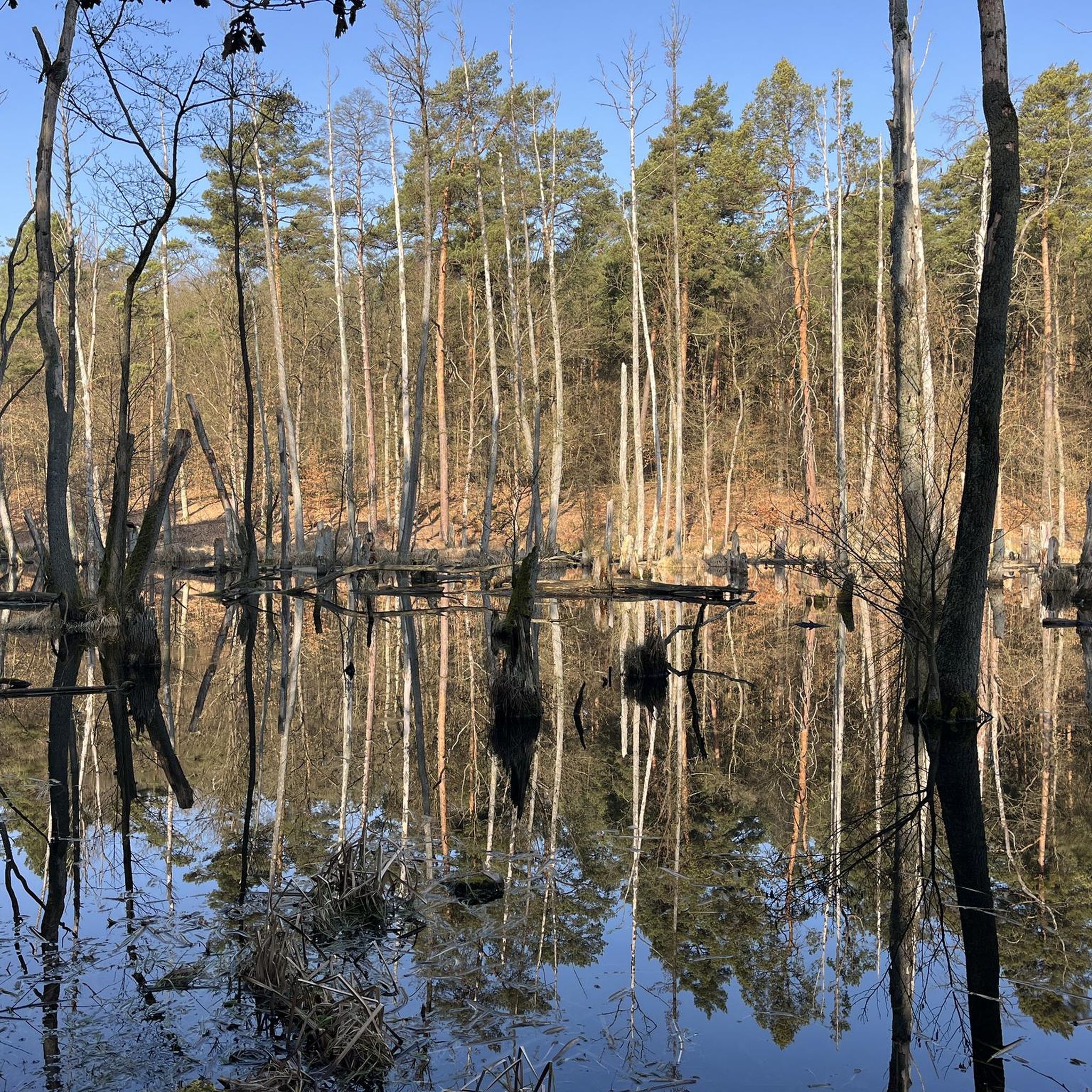
Gravel biking around Heusweiler
Other adventures around Regionalverband Saarbrücken


Tips from the Community


The Saar (French Sarre, Latin Saravus, Luxembourgish Saar) is a river flowing approximately northward in Alsace and Lorraine, as well as in the German states of Saarland and Rhineland-Palatinate. With a flow distance of 235 kilometers, it is the longest tributary of the Moselle; its catchment area covers 7431 square kilometers, which is about three times the area of Saarland (2569.69 km²). See: https://de.wikipedia.org/wiki/Saar
1
0

Beautiful quiet hiking trail, very well signposted
1
0


Central point from which paths branch off in all directions
0
0


Mining history made understandable - Interesting exhibition and museum
0
0
The history of mining in the region: interesting and hands-on!
0
0
Frequently Asked Questions
How many gravel bike trails are available in Regionalverband Saarbrücken?
There are over 150 gravel bike trails in Regionalverband Saarbrücken. The network offers a wide range of options, with 2 easy routes, 70 moderate routes, and 86 difficult routes, catering to various skill levels and preferences.
What kind of terrain can I expect on gravel bike trails in Regionalverband Saarbrücken?
The region offers a diverse topography, perfect for gravel biking. You'll encounter wooded floodplains along the Blies, blooming meadow landscapes, and distinctive Buntsandstein (Bunter Sandstone) rock formations. Many routes also lead through extensive forests, including the protected Saarbrücken Primeval Forest, and along picturesque river valleys like the Saar and Blies.
Are there gravel routes suitable for beginners or families in Regionalverband Saarbrücken?
Yes, Regionalverband Saarbrücken offers options for all skill levels. While many routes are moderate to difficult, there are 2 easy routes and 70 moderate routes that are generally suitable for less experienced riders or families. These often feature gentler gradients and less technical surfaces.
What are some scenic natural features or viewpoints I can discover along the gravel trails?
The region is rich in natural beauty. You can ride through the lush Saarbrücken Primeval Forest or along the tranquil Saar River. For panoramic views, consider routes that pass by the Schwarzenberg Tower, which offers the highest vantage point in Saarbrücken. The Bliesgau Biosphere also provides extensive trails through beautiful nature and cultural landscapes.
Are there any circular gravel bike routes in the area?
Yes, many gravel routes in Regionalverband Saarbrücken are designed as circular loops. For example, the difficult Heidenkopf Observation Tower – Heidenkopf Observation Tower loop from Südbahnhof and the moderate Netzbach Pond – Absinkweiher Fischbachtal loop from Wahlschied are popular circular options.
What do other gravel bikers enjoy most about riding in Regionalverband Saarbrücken?
The area is highly rated by the komoot community, with an average score of 4.5 stars from over 260 reviews. Riders often praise the diverse terrain, the extensive forests that provide a sense of wilderness, and the scenic river valleys. The variety of routes, from challenging climbs to more leisurely paths, is also frequently highlighted.
Is it possible to access gravel trails using public transport in Regionalverband Saarbrücken?
Many routes in Regionalverband Saarbrücken are accessible from urban areas, suggesting good public transport connections to starting points. For instance, routes like the Saar Cycle Route – Dragonerweg loop from Saarbrücken Ost start near train stations or bus stops, making them convenient for public transport users. It's always advisable to check local transport schedules for specific route access.
Are there any routes that feature industrial heritage or cross into neighboring countries?
Yes, the region's history and geography offer unique routes. The 'Am Rande der Stadt' Gravel Loop around Saarbrücken, for example, traverses urban districts, features industrial heritage, and briefly crosses into neighboring France. The La Mine, Carreau Wendel – Mine Wendel loop from Luisenthal (Saar) also hints at industrial connections.
What is the best time of year for gravel biking in Regionalverband Saarbrücken?
The diverse landscapes of Regionalverband Saarbrücken are enjoyable throughout much of the year. Spring and autumn offer pleasant temperatures and beautiful scenery, with blooming meadows or vibrant fall foliage. Summer is also suitable, especially for rides through shaded forest sections. Winter conditions can vary, so checking local weather and trail conditions is recommended for colder months.
Are there any challenging gravel routes for experienced riders?
Absolutely. Regionalverband Saarbrücken offers 86 difficult routes for experienced gravel bikers. Routes like the Großer Stiefel Trail – Grumbachtal Valley loop from Saarbrücken-Schafbrücke and the View of the Saar River – Karl-May-Weg Trail loop from Luisenthal (Saar) provide significant elevation gains and technical sections to test your skills and endurance.
Can I find places to eat or drink along the gravel trails?
While specific cafes or pubs directly on every trail are not guaranteed, many routes pass through or near towns and villages where you can find refreshments. The 'Am Rande der Stadt' loop, for instance, circumnavigates Saarbrücken, offering numerous opportunities for stops. Planning your route with komoot allows you to discover points of interest and amenities along the way.
Are there any specific nature reserves or protected areas that gravel routes pass through or near?
The Regionalverband Saarbrücken is home to numerous nature reserves, including areas like Bergehalde Viktoria, Birzberg, and Saarkohlenwald. While direct biking might be restricted in core protected zones, surrounding gravel routes often provide access to the natural beauty and biodiversity of these areas, such as the extensive trails in the Bliesgau Biosphere.
Most popular routes around Regionalverband Saarbrücken
Most popular attractions around Regionalverband Saarbrücken

Get inspired with the komoot mobile app


Didn’t find what you were looking for?
Check out more Gravel rides throughout Regionalverband Saarbrücken below and find the perfect route in your destination.
Explore more
Browse the best Gravel rides in other regions.
