The best road cycling routes around Regionalverband Saarbrücken
4.4
(1687)
34,361
riders
552
rides
Road cycling around Regionalverband Saarbrücken is characterized by diverse landscapes, including the Saar River valley and extensive forest areas. The region features well-paved routes along the Saar River, offering mostly flat terrain. Beyond the river, cyclists encounter varied topography with rolling hills and some challenging climbs, particularly towards the Hunsrück mountain range. This blend of riverine paths and forested uplands provides a range of road cycling experiences.
Best road cycling routes around Regionalverband Saarbrücken
- The most popular road cycling route is Saar Cycle Path (Leinpfad) – View from Heidenkopf loop from Südbahnhof, a 65.0 miles (104.7 km) trail that takes 4 hours 49 minutes to complete. This difficult route offers extensive river views and climbs towards the Heidenkopf.
- Another top favourite among local road cyclists is Saar Cycle Path – Sarreguemines loop from Saarbrücken Hauptbahnhof, an easy 25.1 miles (40.4 km) path. This route follows the Saar River, extending towards the French border town of Sarreguemines.
- Local road cyclists also love the Niederwürzbacher Pond – Saar Cycle Path (Leinpfad) loop from Saarbrücken Hauptbahnhof, a 35.2 miles (56.6 km) trail leading through varied landscapes including the Niederwürzbacher Pond and along the Saar Cycle Path, often completed in about 2 hours 28 minutes.
- Road cycling around Regionalverband Saarbrücken is defined by the Saar River, extensive forests, and varied terrain with both flat river paths and challenging climbs. The network offers options for different ability levels, from easy riverside rides to more demanding routes with significant elevation gain.
- The routes in Regionalverband Saarbrücken are highly rated by the komoot community with an average score of 4.4 stars from over 790 reviews. More than 18,000 road cyclists have used komoot to explore Regionalverband Saarbrücken's varied terrain.
Last updated: August 8, 2026
4.8
(4)
606
riders
105km
04:52
1,100m
1,100m
Hard road ride. Very good fitness required. Some segments of this route may be unpaved and difficult to ride.
4.6
(94)
832
riders
40.4km
01:46
80m
80m
Easy road ride. Great for any fitness level. Mostly well-paved surfaces and easy to ride.

Sign up for free
4.6
(23)
459
riders
Moderate road ride. Good fitness required. Mostly well-paved surfaces and easy to ride.
4.5
(18)
399
riders
Moderate road ride. Good fitness required. Mostly well-paved surfaces and easy to ride.
4.2
(33)
343
riders
50.4km
02:13
390m
390m
Moderate road ride. Good fitness required. Mostly well-paved surfaces and easy to ride.
4.6
(20)
348
riders
Easy road ride. Great for any fitness level. Mostly well-paved surfaces and easy to ride.
4.2
(21)
349
riders
22.2km
00:57
50m
50m
Easy road ride. Great for any fitness level. Mostly well-paved surfaces and easy to ride.
4.5
(22)
304
riders
57.9km
02:28
340m
340m
Moderate road ride. Good fitness required. Mostly well-paved surfaces and easy to ride.
4.6
(28)
257
riders
Moderate road ride. Good fitness required. Mostly well-paved surfaces and easy to ride.
4.0
(9)
249
riders
Moderate road ride. Good fitness required. Mostly well-paved surfaces and easy to ride.
Get access to more routes and recommendations from other explorers.
Sign up for free
Already have an account?
Our route recommendations are based on thousands of hikes, rides, and runs completed by other people on komoot.
Start today with a free account
Your next adventure awaits.
Login or Signup
Popular around Regionalverband Saarbrücken
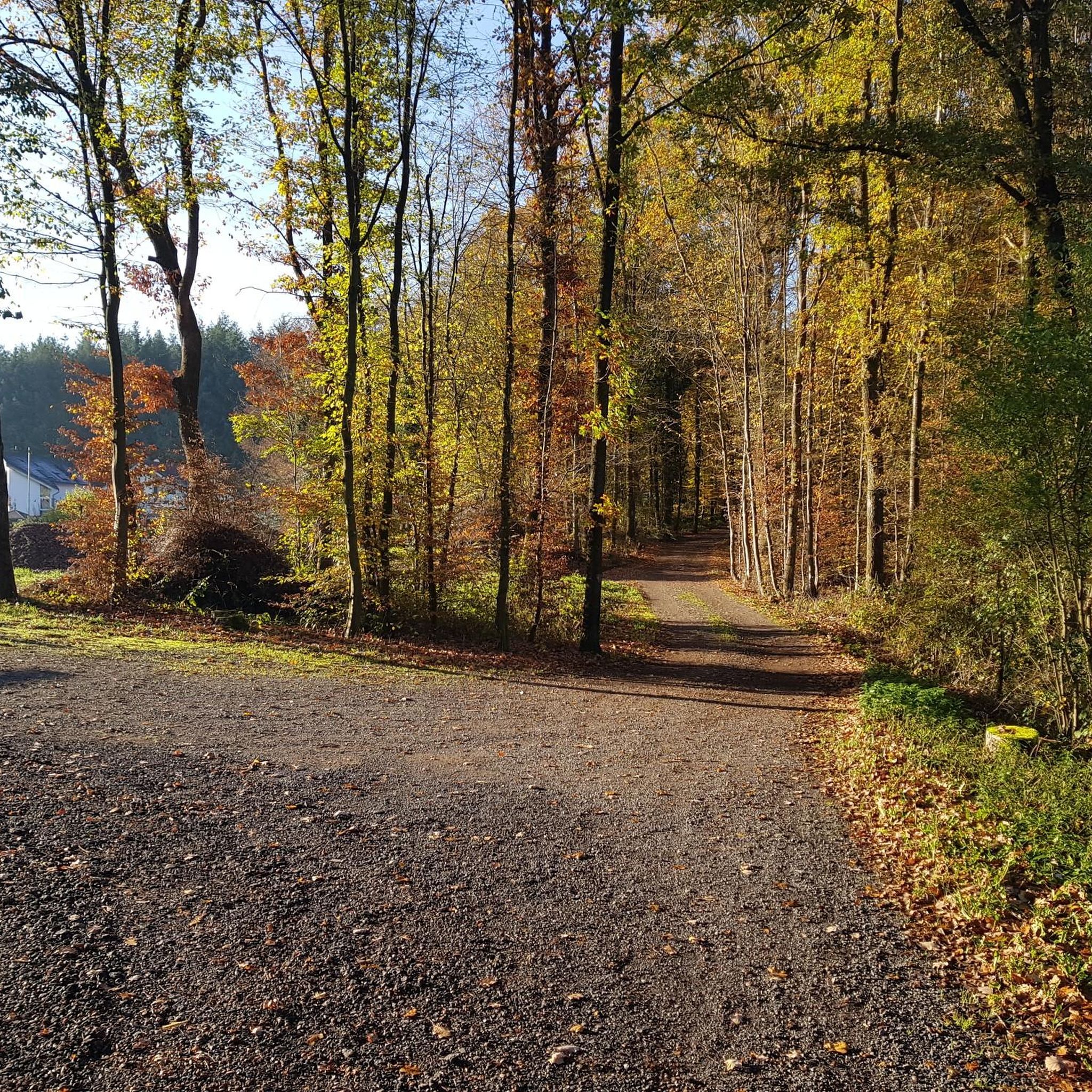
Road Cycling Routes in Staatsforst Saarbrücken
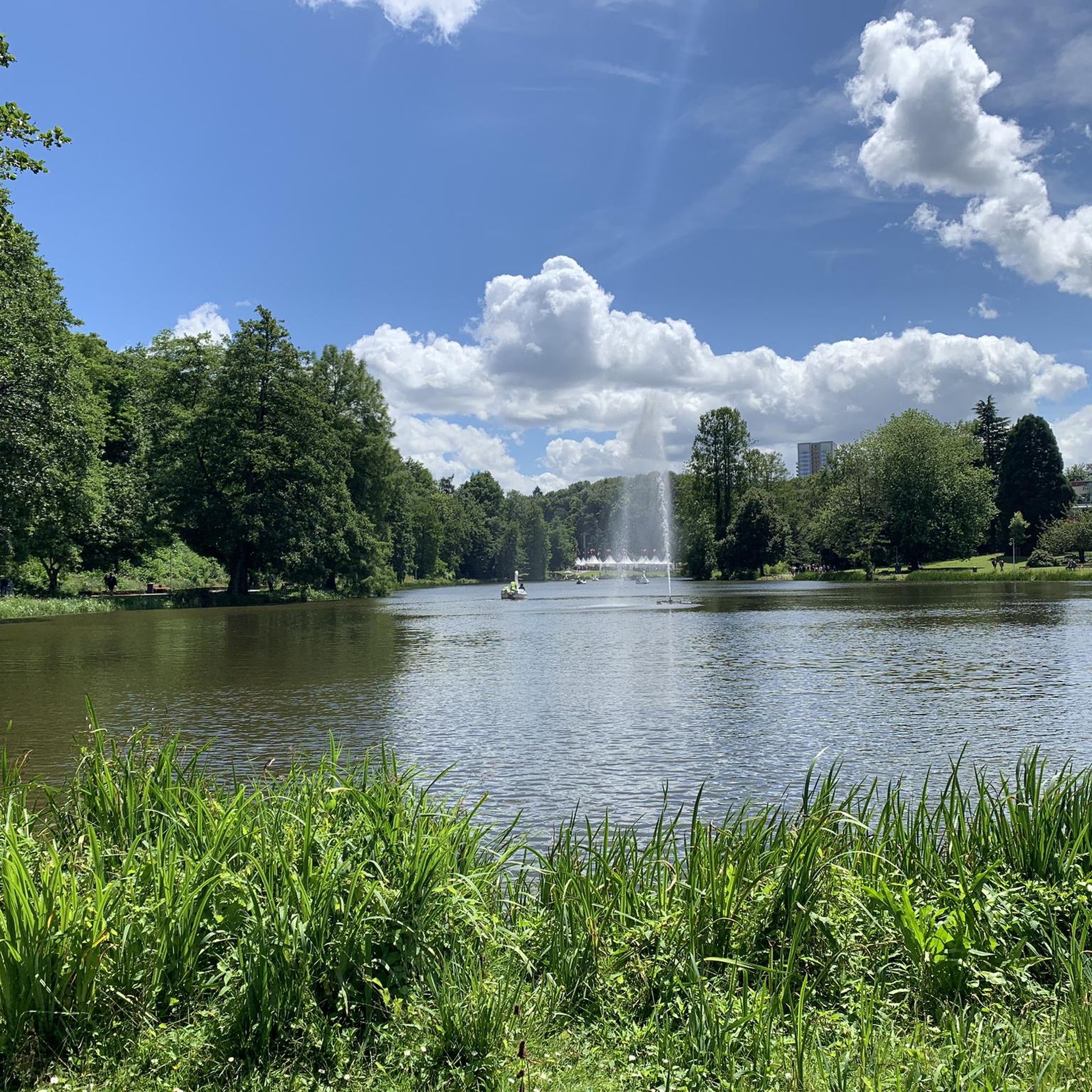
Road Cycling Routes in Alt-Saarbrücker Stadtwald
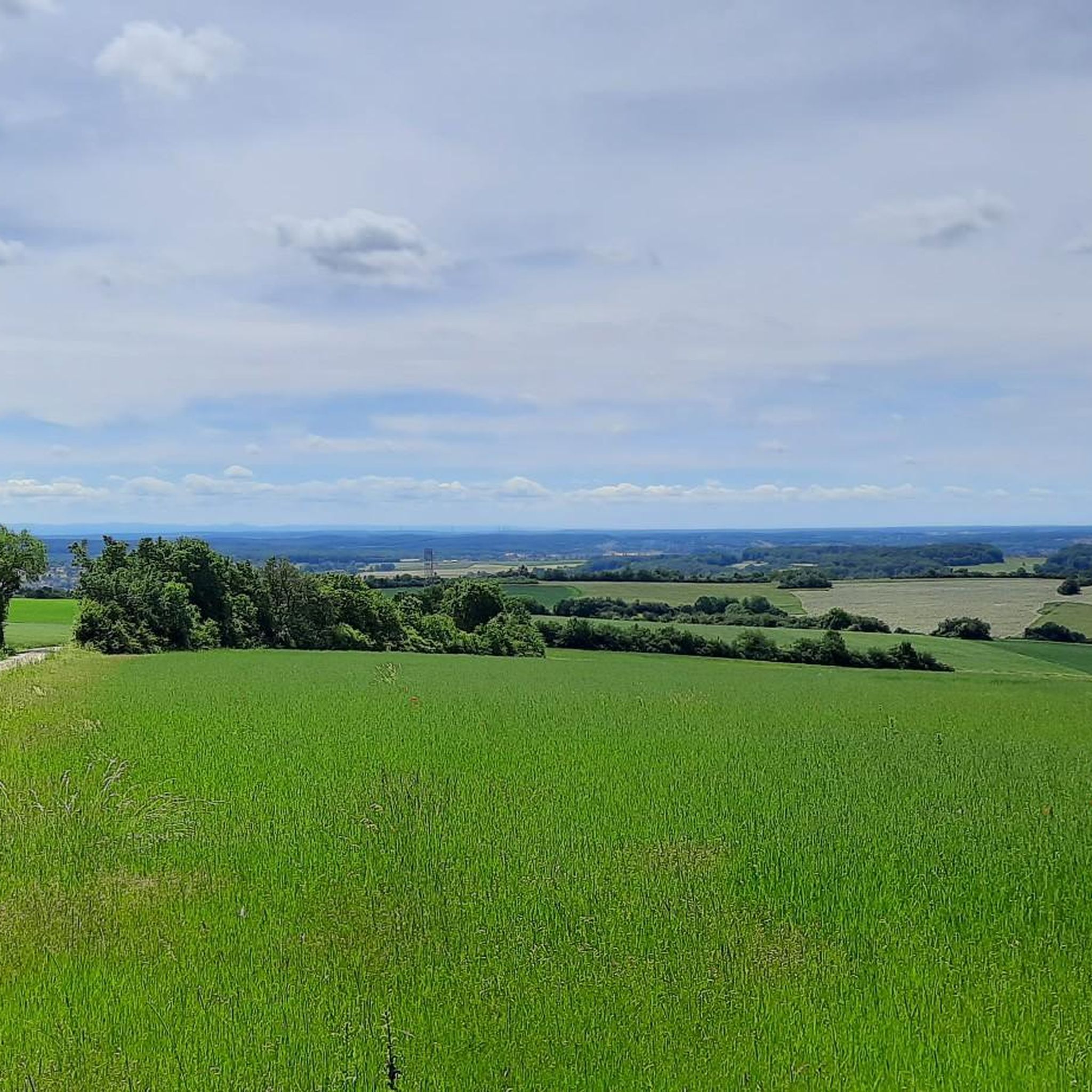
Road Cycling Routes around Kleinblittersdorf
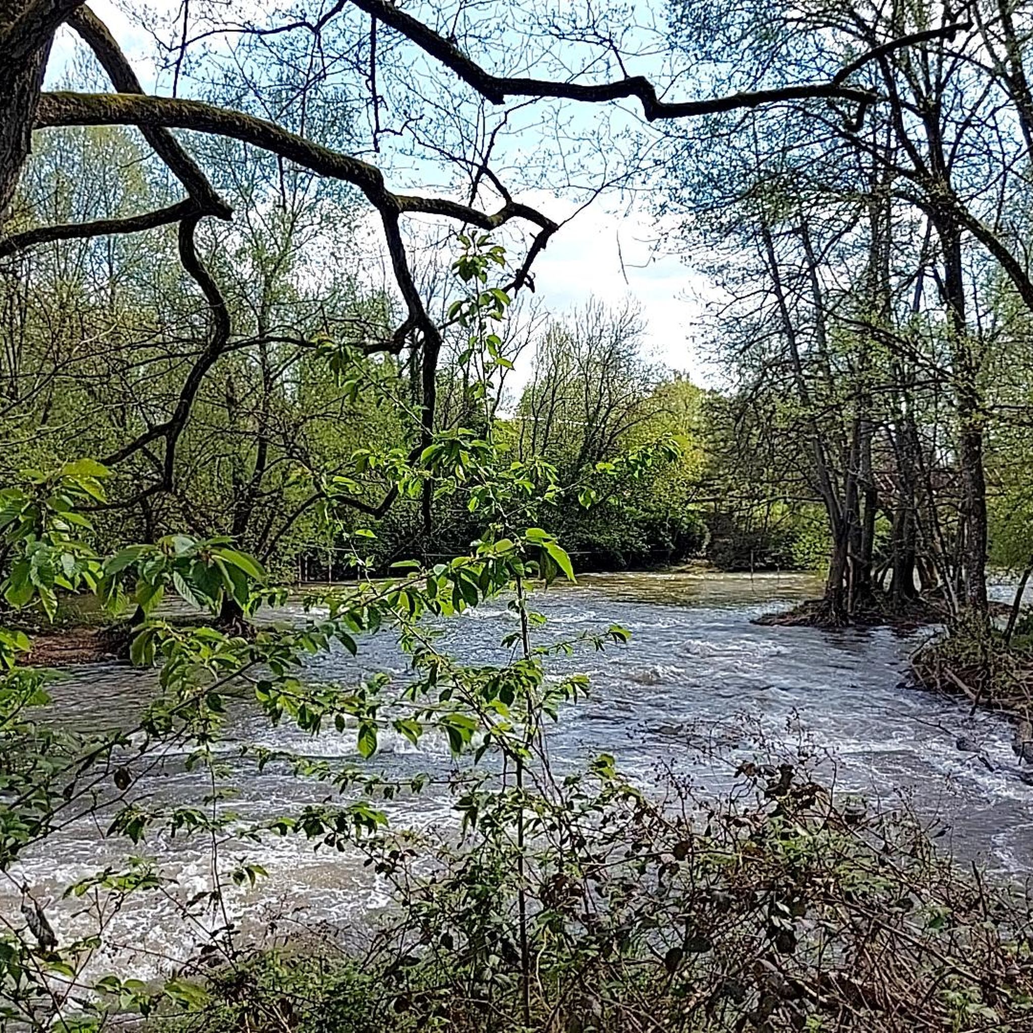
Road Cycling Routes in Gemeindewald Auersmacher - Bliesbogen
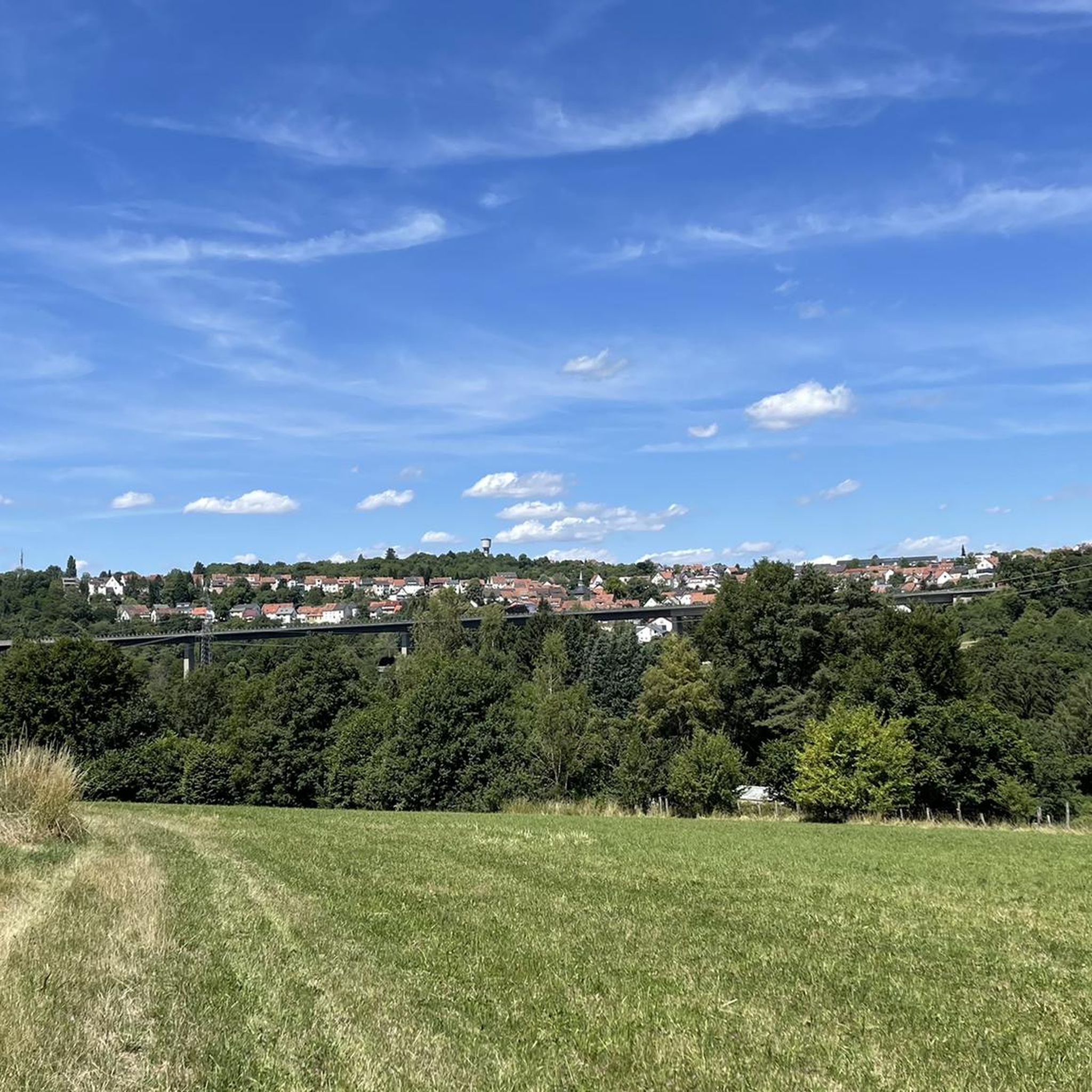
Road Cycling Routes in Wisch- Und Wogbachtal
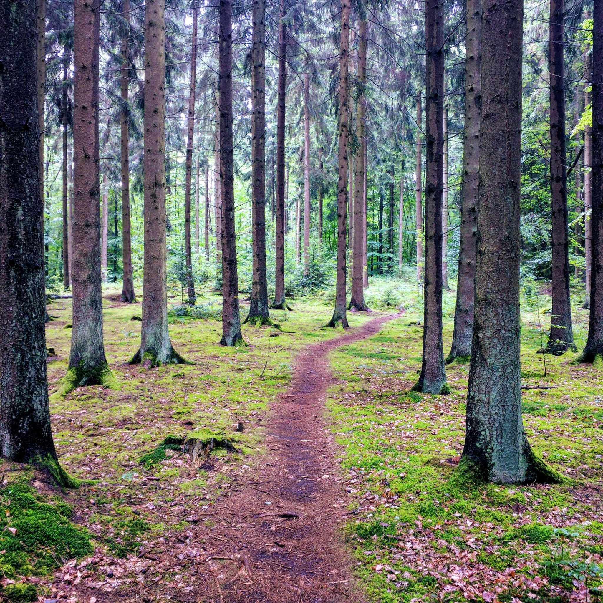
Road Cycling Routes in St. Johanner Stadtwald
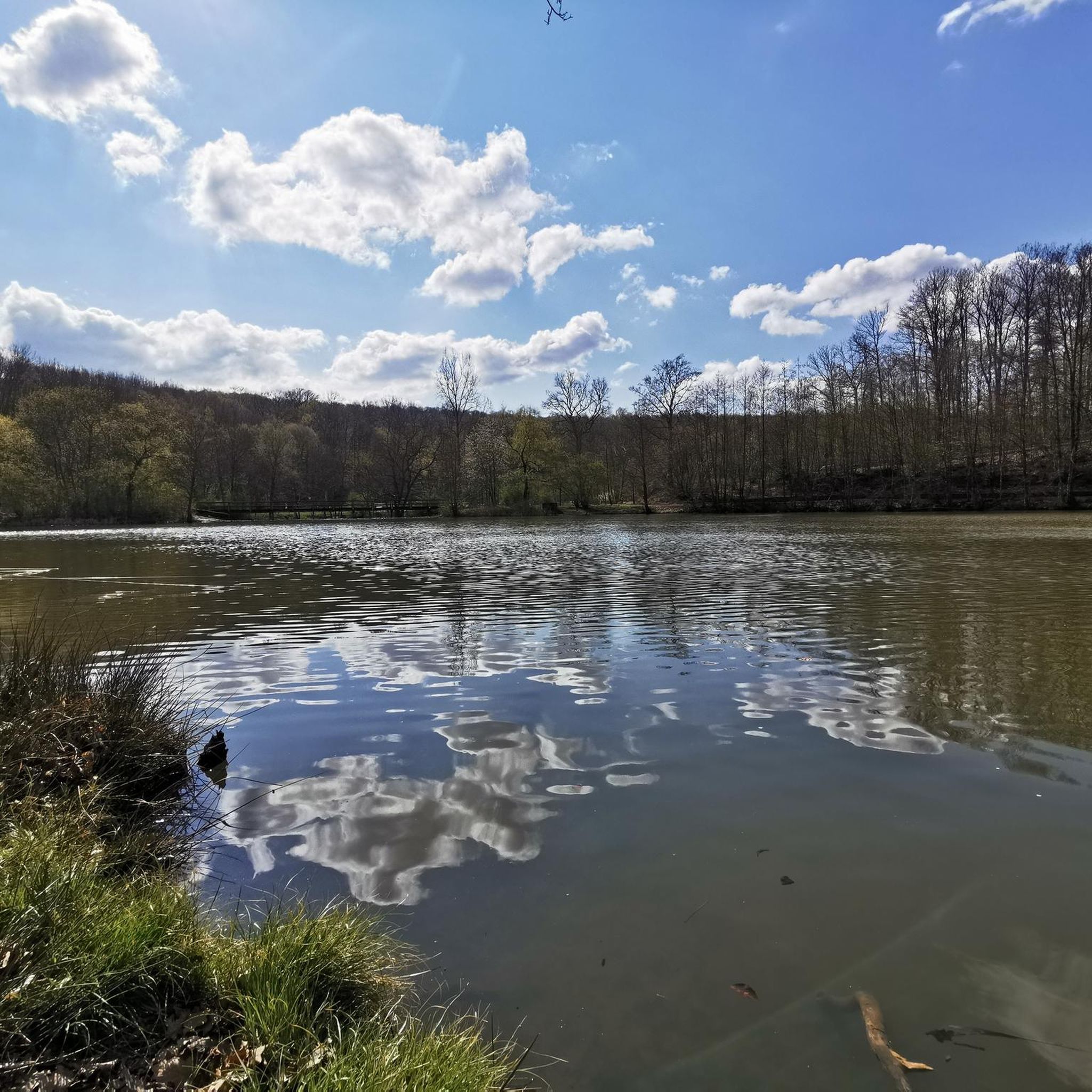
Road Cycling Routes in Urwald - Waldschutzgebiet Steinbach- Und Netzbachtal
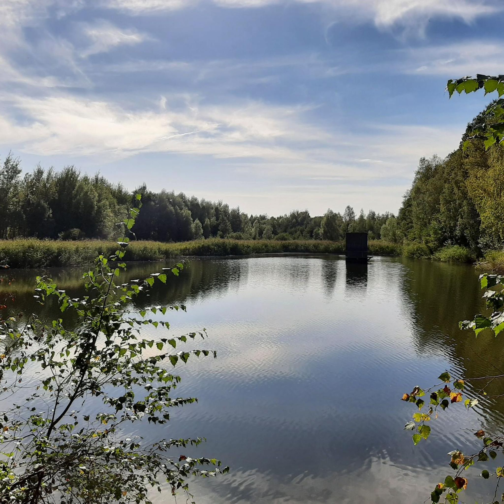
Road Cycling Routes around Püttlingen
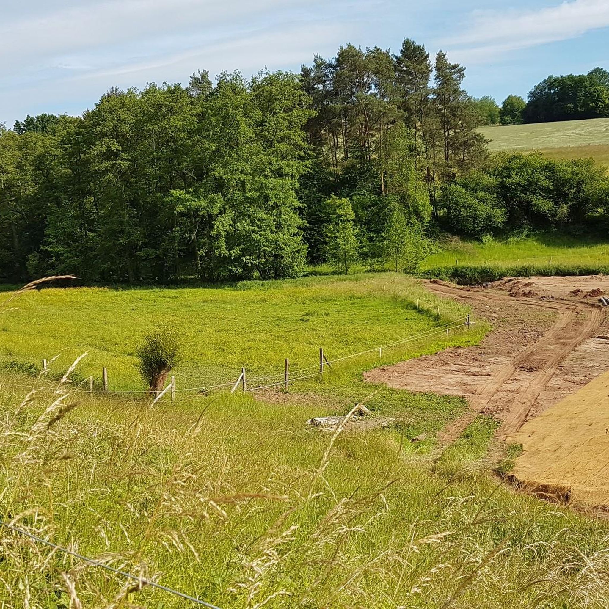
Road Cycling Routes around Heusweiler
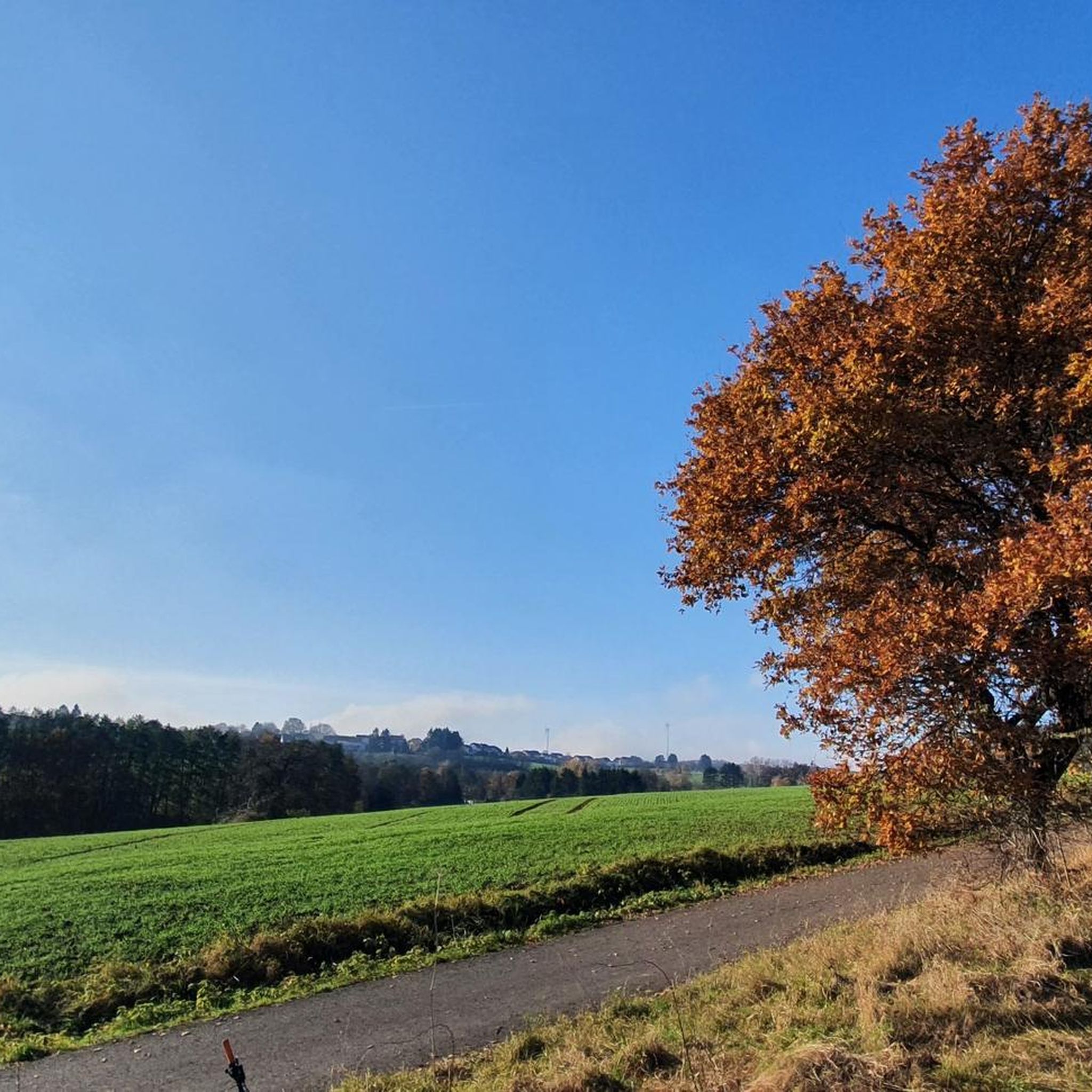
Road Cycling Routes around Riegelsberg
Other adventures around Regionalverband Saarbrücken


Tips from the Community

The turn is not passable, no sign on site.
0
0

This section of the Saarland-Radweg (SLR) is the flattest and therefore the easiest part of the route to cycle. However, due to running parallel to the motorway, it is also the loudest and less scenically appealing. Anyone cycling only this section will therefore not get a representative impression of the Saarland or the character of the entire cycle path. Only the combination with other stages conveys the scenic diversity and the varied course of the Saarland-Radweg.
1
0

The viewpoint in the Beeder Bruch nature reserve offers beautiful views of extensive wetlands and protected habitats. It is an ideal place for birdwatching and enjoying the region's tranquil nature.
0
0

Is located directly on the Friendship Bridge between Kleinblittersdorf 🇩🇪 and Grosbliedersdorf🇫🇷.
0
0


Beautiful cycle path, but can be a bit uneven due to roots 🚴🏻
0
0

A detour is currently signposted here towards Ensdorf.
0
0
Very close by is the Hotel Fährhaus on the one-way street "Zur alten Fähre" (signposted from the bridge). It offers a very quiet and affordable stay with free parking and very friendly hosts. From there, the best way to reach Saarbrücken city center (approx. 6 km) is to cross this bridge and take the Saar Cycle Path on the left bank of the Saar River (car-free). On the right bank, the route is a bit longer and more circuitous, going around the marina.
0
0
Frequently Asked Questions
What kind of terrain can I expect on road cycling routes in Regionalverband Saarbrücken?
The region offers a diverse range of terrain for road cyclists. You'll find many largely flat and well-paved routes, particularly along the Saar River, which are ideal for leisurely rides. However, beyond the river valleys, the landscape transitions into rolling hills and more challenging climbs, especially towards the Hunsrück mountain range. This blend ensures options for all fitness levels, from easy riverside paths like the Saar Cycle Path – Sarreguemines loop from Saarbrücken Hauptbahnhof to more demanding routes with significant elevation gain, such as the Saar Cycle Path (Leinpfad) – View from Heidenkopf loop from Südbahnhof.
Are there any family-friendly road cycling routes in the area?
Yes, Regionalverband Saarbrücken offers several family-friendly road cycling options, especially along the Saar River. These routes are typically flat, well-maintained, and often separated from traffic, making them safe and enjoyable for all ages. The Saar Cycle Route is a prime example, known for its gentle gradients and scenic views through meadows and apple plantations, extending towards France. Many sections are suitable for beginners and leisure cyclists.
What natural features or scenic viewpoints can I discover while road cycling?
Road cycling in Regionalverband Saarbrücken allows you to experience a variety of natural beauty. You can follow the picturesque Saar River, explore extensive forest areas like the Saarbrücken Primeval Forest with its unique moss-covered sandstone formations, or cycle through the wide meadow landscapes of the Bliesgau Biosphere Reserve. While not directly on these routes, the iconic Saar Loop near Mettlach offers breathtaking panoramic views from the Cloef viewing platform, a notable natural wonder in the wider Saarland region.
Are there any historical landmarks or cultural attractions along the road cycling routes?
Yes, the region is rich in history and culture. You can cycle past the impressive UNESCO World Heritage Site Völklingen Ironworks (Völklinger Hütte), a unique blend of industrial heritage and nature. The baroque architecture of Saarbrücken, particularly around the Ludwigskirche, and the charm of its old town with French influences, provide cultural stops. The fortress city of Saarlouis, with its Vauban-built fortifications, is also accessible by bike, offering a glimpse into the region's past.
What is the best season for road cycling in Regionalverband Saarbrücken?
The best season for road cycling in Regionalverband Saarbrücken is generally from spring to autumn. During these months, the weather is typically mild and pleasant, with blooming landscapes in spring and vibrant colors in autumn. The well-maintained cycle paths are usually clear, and the region's natural beauty is at its peak. Summer also offers great conditions, though it can be warmer, making routes through shaded forests like the Warndt particularly appealing.
Are there any circular road cycling routes available?
Yes, many road cycling routes in Regionalverband Saarbrücken are designed as loops, allowing you to start and end at the same point. Examples include the Niederwürzbacher Pond – Saar Cycle Path (Leinpfad) loop from Saarbrücken Hauptbahnhof, which takes you through varied landscapes, and the Saarbrücken Ship Lock – Saar Promenade loop from Saarbrücken Ost, offering a shorter, easy ride along the river. These circular routes make planning your day trip convenient.
How can I access road cycling routes using public transport?
Many road cycling routes in Regionalverband Saarbrücken are easily accessible via public transport, particularly those starting from urban centers like Saarbrücken. The main train station (Saarbrücken Hauptbahnhof) serves as a convenient starting point for several routes, such as the Saar Cycle Path – Sarreguemines loop. Regional trains and buses often allow bikes, though it's advisable to check specific transport provider policies and peak hour restrictions beforehand.
Where can I find parking for road cycling routes?
Parking is generally available at common starting points for road cycling routes, especially in and around Saarbrücken and other towns in the region. Many routes begin near train stations or designated public parking areas. For example, routes starting from 'Saarbrücken Hauptbahnhof' or 'Südbahnhof' typically have parking facilities nearby. It's always recommended to check specific route descriptions for detailed parking information.
What do other road cyclists enjoy most about road cycling in Regionalverband Saarbrücken?
The area is highly rated by the komoot community, with an average score of 4.4 stars from over 790 reviews. Road cyclists often praise the region's diverse landscapes, which offer a mix of flat river paths and challenging climbs. The well-maintained cycle path network, the 'French flair' along the Saar River, and the ability to combine natural beauty with cultural stops like the Völklingen Ironworks are frequently highlighted as key attractions.
Are there options for longer, multi-day road cycling tours that cross borders?
Yes, the unique location of Regionalverband Saarbrücken in the 'border triangle' of Germany, France, and Luxembourg makes it an excellent starting point for cross-border cycling adventures. Routes like the VeloRoute SaarLorLux and the Saar-Alsace Cycling Tour allow you to explore diverse landscapes and cultures over multiple days, offering a truly international cycling experience.
Are there any cafes or places to stop for refreshments along the routes?
Yes, the region is well-equipped with places to stop for refreshments. Along the popular Saar Cycle Route, you'll find numerous cafes, restaurants, and beer gardens in towns and villages. In more rural areas, you might encounter charming local eateries or even huts like the Kirschheck Nature Friends' House, offering a chance to refuel and enjoy the local hospitality. Many routes pass through towns where you can easily find provisions.
How many road cycling routes are available in Regionalverband Saarbrücken?
There are over 590 road cycling routes available in Regionalverband Saarbrücken, catering to a wide range of abilities and preferences. This includes approximately 90 easy routes, nearly 400 moderate routes, and over 100 difficult routes, ensuring that every road cyclist can find a suitable adventure.
Most popular routes around Regionalverband Saarbrücken
Most popular attractions around Regionalverband Saarbrücken

Get inspired with the komoot mobile app


Didn’t find what you were looking for?
Check out more Road cycling routes throughout Regionalverband Saarbrücken below and find the perfect route in your destination.
Explore more
Browse the best Road cycling routes in other regions.
