The best hikes from bus stations in South Tyrol
4.5
(49806)
281,971
hikers
8,816
hikes
Hiking in South Tyrol offers a diverse landscape, characterized by the dramatic limestone peaks of the Dolomites, extensive high alpine pastures like the Seiser Alm, and deep valleys. The region features a network of trails winding through dense forests, alongside vineyards, and past apple orchards. This varied terrain provides options ranging from gentle valley walks to challenging high-alpine treks.
Best bus station hiking trails in South Tyrol
- The most popular bus station hiking route is Panorama tour around Puflatsch - Seiser Alm, a 5.5 miles (8.8 km) trail that takes 2 hours 42 minutes to complete. This moderate route offers expansive views across Europe's largest high alpine pasture.
- Another top favourite among local hikers is Langkofel Circuit, a difficult 7.0 miles (11.3 km) path. This challenging trail circumnavigates the imposing Langkofel massif, providing continuous mountain panoramas.
- Local hikers also love the Sassolungo loop, a 6.9 miles (11.1 km) trail leading through high-alpine terrain, often completed in about 5 hours 19 minutes. This difficult route offers close-up views of the Sassolungo group.
- Hiking in South Tyrol is defined by the iconic Dolomites, vast alpine meadows, and verdant valleys. The extensive network of trails offers options for various ability levels, from easy walks to demanding mountain ascents.
- The routes in South Tyrol are highly rated by the komoot community with an average score of 4.5 stars from over 47000 reviews. More than 279000 hikers have used komoot to explore South Tyrol's varied terrain.
Last updated: September 4, 2026
4.8
(3358)
13,263
hikers
8.84km
02:43
320m
320m
Embark on the Panorama tour around Puflatsch, a moderate hike spanning 5.5 miles (8.8 km) with an elevation gain of 1038 feet (316 metres), typically taking 2 hours and 42 minutes. This route guides you across wide alpine meadows and gentle hills, offering a constant 360-degree panorama of the Dolomites, including views of Val Gardena and the Schlern. You will encounter a mix of gravel, natural paths, and some paved sections, passing charming small wooden houses and, in summer, an abundance of wildflowers.
To begin your hike, head to Compatsch, the usual starting point for the Panorama tour. Keep in mind that private vehicle access to the plateau is restricted during certain hours, so you can reach Compatsch by the Seiser Alm Aerial Cableway or by bus. While there can be an initial steep ascent from Compatsch, you have the option to take the Telemix Puflatsch lift to bypass this section, making the rest of the trail relatively flat with occasional small climbs and descents.
This trail is celebrated for its unique features, including the mystical Witches' Benches (Hexenbänke), stone formations steeped in local folklore. You will also find the Engelsrast (Angel's Rest) viewing platform and Filln Cross, both offering outstanding vistas of the surrounding peaks. Along the way, you can stop at mountain huts like Tschötsch Alm or Arnika Hut for refreshments and to enjoy traditional Tyrolean cuisine amidst the stunning scenery.
4.9
(1242)
6,103
hikers
11.1km
05:20
790m
790m
Hard hike. Very good fitness required. Sure-footedness, sturdy shoes and alpine experience required.

Sign up for free
4.9
(1232)
6,095
hikers
11.3km
05:19
760m
760m
The Langkofel Circuit is a difficult 7.0-mile (11.3 km) hike that takes around 5 hours and 19 minutes to complete, gaining 2481 feet (756 metres) in elevation. This iconic loop trail circles the imposing Sassolungo mountain group in the Dolomites, offering constantly changing vistas. You will traverse tussock slopes, rocky areas, and gravel paths, passing through sections of thinning forest. A notable feature is the "City of Stone," a vast expanse of boulders at the foot of Sassolungo, where the path navigates boulder fields and rock overhangs. Expect panoramic views of surrounding peaks like the Denti di Terrarossa and the Sella Group, with lush green meadows contrasting with near-vertical rocky peaks.
Good fitness and sure-footedness are required for this route, and sturdy shoes are highly recommended. The trail is typically hiked clockwise, often starting from Passo Sella. While generally accessible, some parts can involve technical terrain. In spring or late autumn, be aware that snow and ice can make certain sections, especially descents, tricky. You can opt to use a cable car from Passo Sella to bypass the initial steep ascent to Forcella del Sassolungo. The route is particularly stunning in June, mid-late September, and October, though it can get busy during peak season in July and August.
This circuit offers a full-day adventure around the entire Sassolungo Group, including prominent peaks like Sassolungo (3181 m) and Sasso Piatto (2958 m). The trail provides continually changing perspectives of these dramatic mountain faces. Along the way, you will find several mountain huts, such as Rifugio Friedrich August and Rifugio Sasso Piatto. These huts offer opportunities for rest, refreshments, and a chance to sample local Ladin and South Tyrolean cuisine, making the long hike more manageable and enjoyable.
4.9
(1048)
5,655
hikers
18.0km
07:52
1,120m
1,120m
Hard hike. Very good fitness required. Mostly accessible paths. Sure-footedness required.
4.8
(1095)
5,717
hikers
8.71km
03:13
340m
340m
Hard hike. Good fitness required. Sure-footedness, sturdy shoes and alpine experience required.
Get access to more routes and recommendations from other explorers.
Sign up for free
Already have an account?
Our route recommendations are based on thousands of hikes, rides, and runs completed by other people on komoot.
Start today with a free account
Your next adventure awaits.
Login or Signup
Popular around South Tyrol

Hikes from bus stations in the Texel Group
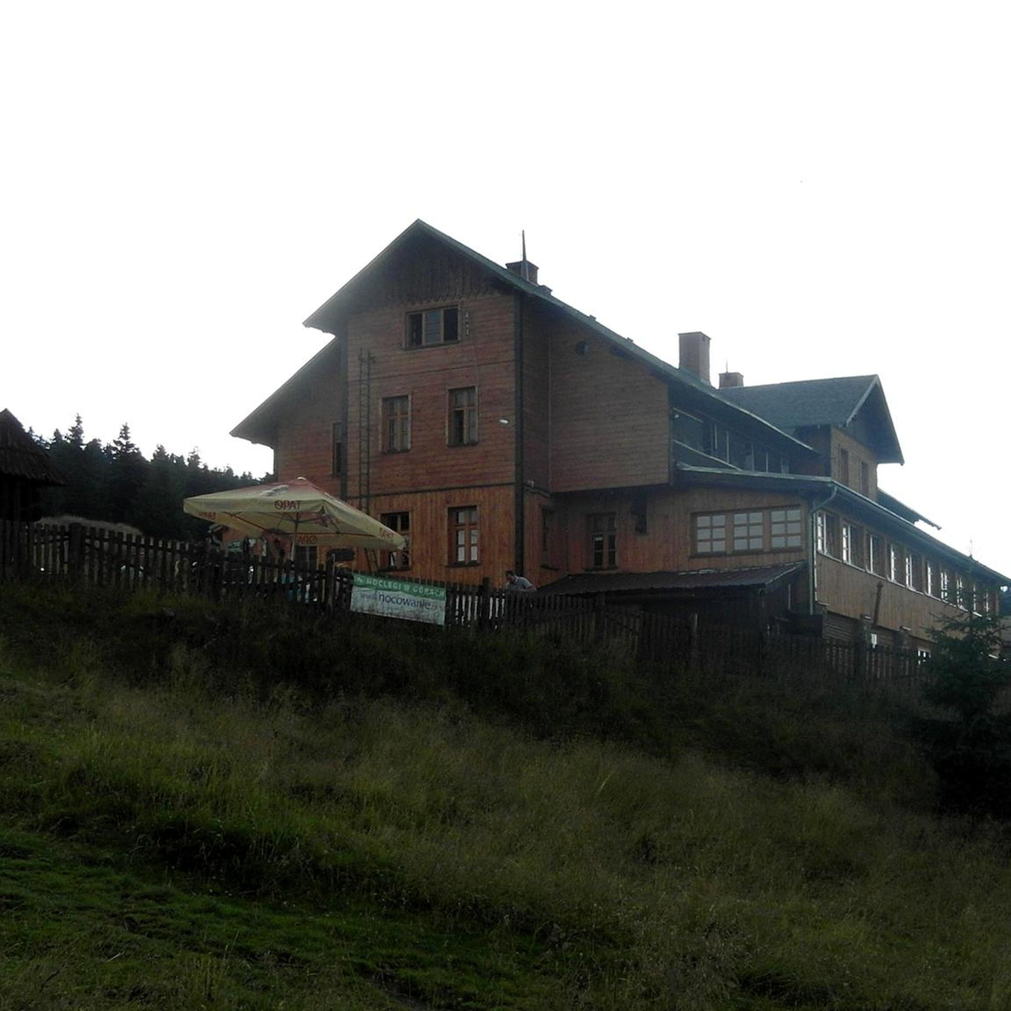
Hikes from bus stations around Naturpark Fanes-Sennes-Prags - Parco Naturale Fanes-Sennes-Braies
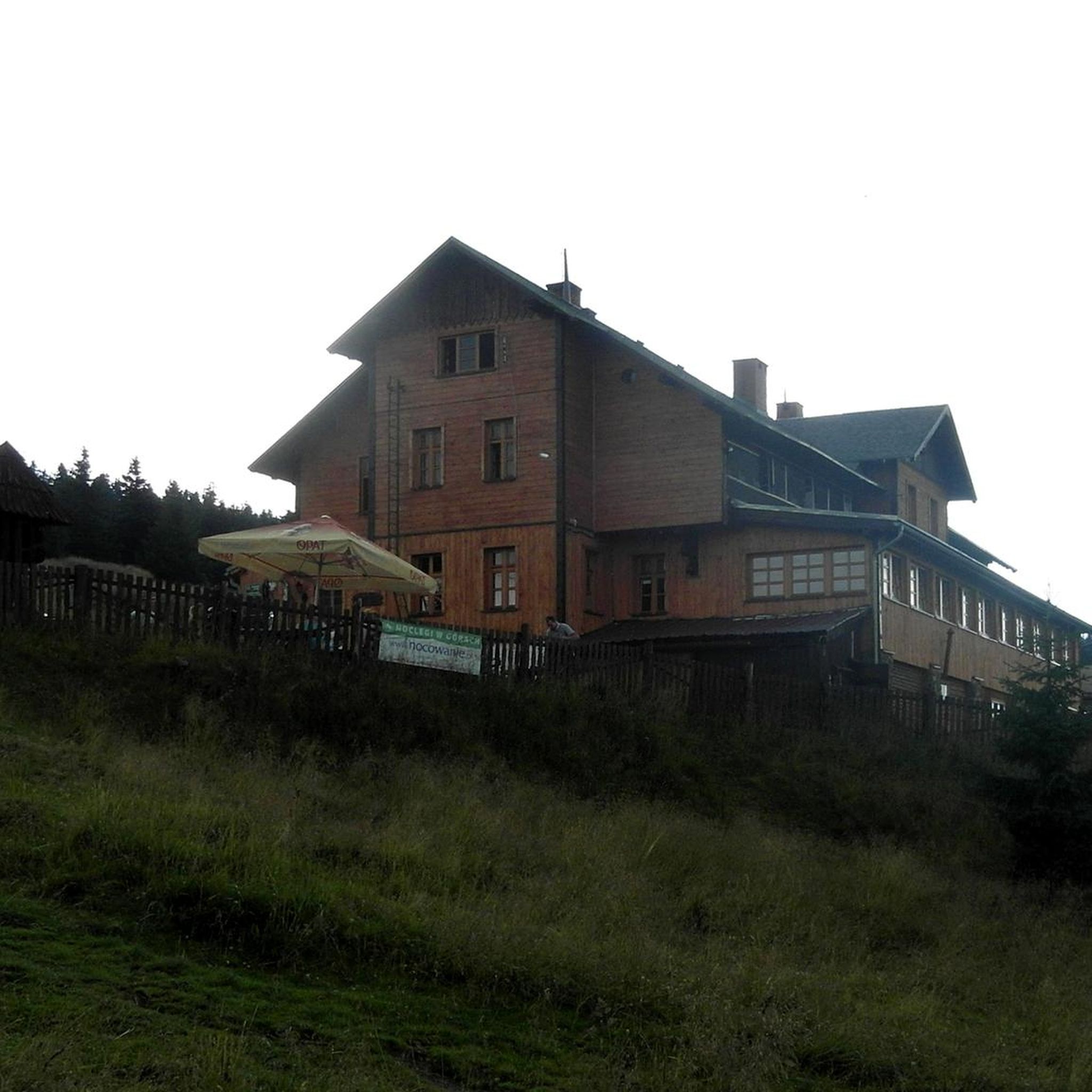
Hikes from bus stations around Naturpark Fanes-Sennes-Prags - Parco Naturale Fanes-Sennes-Braies
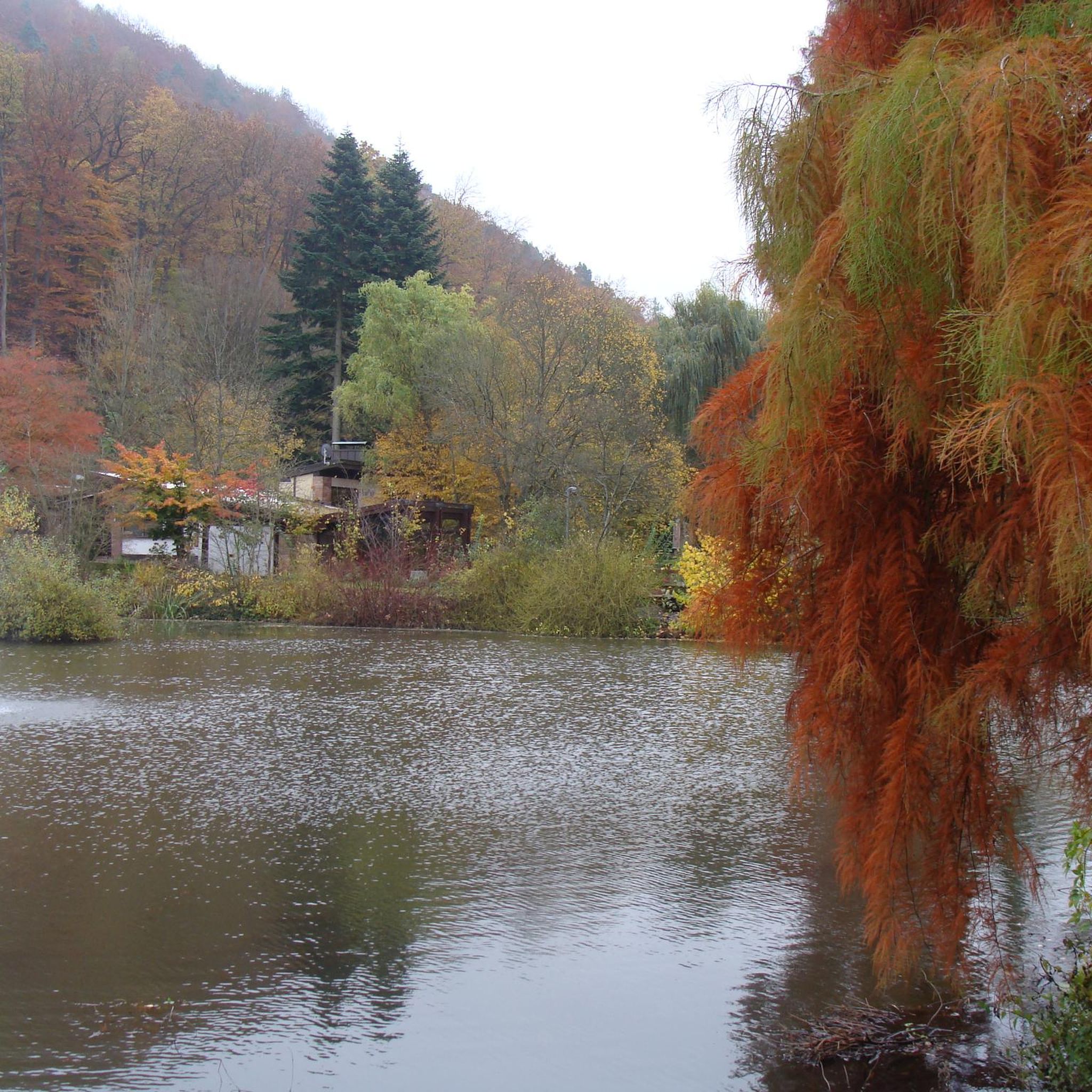
Hikes from bus stations around Naturpark Drei Zinnen - Parco Naturale Tre Cime
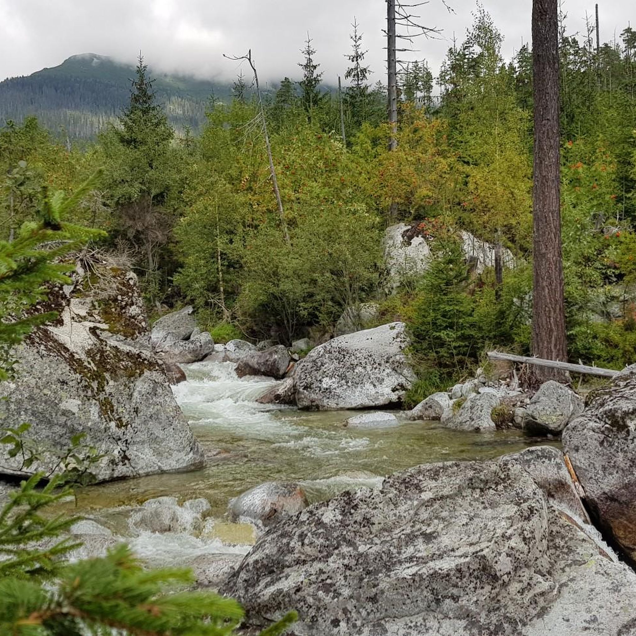
Hikes from bus stations around Parch Natural Pöz-Odles - Naturpark Puez-Geisler - Parco Naturale Puez-Odle
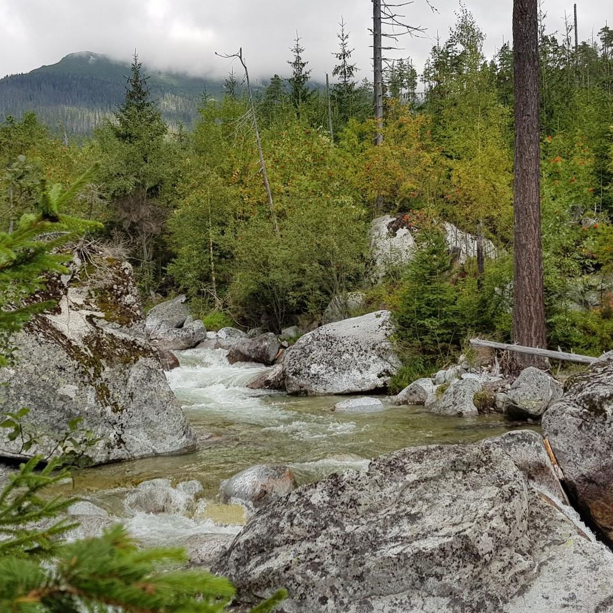
Hikes from bus stations around Parch Natural Pöz-Odles - Naturpark Puez-Geisler - Parco Naturale Puez-Odle

Hikes from bus stations around Naturpark Texelgruppe - Parco naturale Gruppo di Tessa

Hikes from bus stations around Naturpark Texelgruppe - Parco naturale Gruppo di Tessa

Hikes from bus stations in Naturpark Rieserferner-Ahrn - Parco Naturale Vedrette Di Ries-Aurina

Hikes from bus stations around Naturpark Schlern-Rosengarten – Parco naturale dello Sciliar-Catinaccio
Other adventures in South Tyrol


Tips from the Community


The Seisser Alm belongs to the Schlern-Catinaccio Nature Park and offers magnificent views of the Dolomites and many Alpine peaks
0
0

Absolute dream area
0
0

A very beautiful view and impressive carvings
1
0

The Stone City stretches beneath the Sassolungo and is characterized by the many stones of various sizes that can be climbed or mounted. From the walkway, you can admire the surrounding stones and the imposing walls of the Sassolungo.
14
0

That was an amazing experience!!! LINK to the video ---> https://youtu.be/6XCHECTYm8Q
0
3

Unique gondola with the best view! <3
0
0

The cable car takes you comfortably up to the Sassolungo Pass. More information here: https://sassolungo.bz/de/fahrplaene-und-preise/#focellaestate.
0
1
Frequently Asked Questions
How many bus station hiking trails are available in South Tyrol?
South Tyrol offers a vast network of hiking trails accessible by bus. On komoot, you can find nearly 9,000 routes that start conveniently from bus stations, catering to all levels of experience.
What kind of landscapes can I expect on bus-accessible hikes in South Tyrol?
You'll encounter an incredible diversity, from the dramatic, jutting peaks of the Dolomites, a UNESCO World Heritage site, to Europe's largest high alpine pasture, the Seiser Alm. Many routes also wind through lush vineyards, apple orchards, and past historic castles in the valleys, or explore unique geological formations like the Earth Pyramids on the Renon Plateau.
Are there any easy, family-friendly hikes accessible by bus in South Tyrol?
Yes, South Tyrol has many easy and family-friendly options. Look for routes that explore the gentle alpine meadows of areas like the Seiser Alm or the Renon Plateau. Many Waalweg trails, old irrigation canals, also offer relatively flat and scenic walks suitable for all ages. For example, the Panorama tour around Puflatsch - Seiser Alm is a moderate option with stunning views.
Can I find challenging multi-day or hut-to-hut hikes that start from bus stations?
Absolutely. South Tyrol is famous for its high-alpine experiences. Routes like the Langkofel Circuit or the Sassolungo loop offer challenging terrain and significant elevation gain, often connecting to mountain huts (rifugios) for rest and refreshments. The Hut hike through the Sesto Dolomites – Upper Puster Valley is another excellent example of a demanding route with hut stops.
What are some notable natural attractions or landmarks I might see on these trails?
Many bus-accessible trails lead to or pass by iconic natural features. You might encounter the spectacular Rastenbach Gorge Waterfall, the serene Lake Braies north shore, or enjoy panoramic vistas from viewpoints like Knottnkino on Rotsteinkogel. The Rifugio Antonio Locatelli offers an unparalleled view of the iconic Tre Cime di Lavaredo.
Are there any circular routes available from bus stations?
Yes, many bus-accessible routes in South Tyrol are designed as circular trails, allowing you to start and end at the same bus stop without needing to retrace your steps. This is a popular option for day hikes, providing varied scenery throughout your journey. The Panorama tour around Puflatsch - Seiser Alm is a great example of a circular route.
What do other hikers enjoy most about bus-accessible hiking in South Tyrol?
The komoot community highly rates hiking in South Tyrol, with an average score of 4.5 stars from over 47,000 ratings. Reviewers often praise the region's stunning and diverse natural beauty, the well-maintained and clearly marked trails, and the convenience of accessing trailheads directly via public transport, making it easy to explore without a car.
Are there opportunities to experience local culture or cuisine along the trails?
Definitely. South Tyrol's unique blend of Alpine and Mediterranean culture is reflected everywhere. Many trails pass through traditional Tyrolean villages or lead to mountain huts (rifugios) where you can enjoy local cuisine and hospitality. These huts often serve hearty meals and offer a chance to experience the region's culinary traditions firsthand.
What is the best season for bus station hikes in South Tyrol?
The best season for hiking in South Tyrol generally runs from late spring to early autumn (May to October). During this period, most trails are free of snow, mountain huts are open, and the weather is typically pleasant. The valleys are beautiful in spring with blooming orchards, while autumn offers vibrant foliage and comfortable temperatures for higher-altitude treks.
Can I find trails that offer views of the famous Dolomites 'Enrosadira' phenomenon?
Yes, many trails in the Dolomites region offer prime viewing spots for the 'Enrosadira,' where the rock faces glow with a rosy hue at sunrise and sunset. While specific routes for this are best planned around dawn or dusk, any hike with open views of the major Dolomite peaks, such as those around Val Gardena or the Sesto Dolomites, will provide opportunities to witness this magical natural spectacle.
Are there any specific trails that lead to historical sites or viewpoints?
Beyond natural beauty, South Tyrol's trails often connect to historical sites or offer stunning viewpoints. You might find routes leading to medieval castles, or paths that offer expansive views of towns like Merano, such as the View of Merano highlight. The region's rich history is woven into its landscape, providing cultural interest alongside the natural wonders.
Most popular routes in South Tyrol
Most popular attractions in South Tyrol

Get inspired with the komoot mobile app


Didn’t find what you were looking for?
Check out more Hikes throughout South Tyrol below and find the perfect route in your destination.
Explore more
Browse the best Hikes in other regions.
