Nonnenbachtal Und Seitentäler Mit Froschberg Und Gillenberg
Nonnenbachtal Und Seitentäler Mit Froschberg Und Gillenberg
The best traffic-free bike rides in Nonnenbachtal Und Seitentäler Mit Froschberg Und Gillenberg
4.6
(108)
2,501
riders
40
rides
No traffic road cycling routes in Nonnenbachtal Und Seitentäler Mit Froschberg Und Gillenberg traverse a landscape characterized by scenic valleys and the Nonnenbach stream. The region includes notable features such as Froschberg and Gillenberg, offering varied terrain for cyclists. This area features diverse woodlands, including alder, ash, and beech forests, alongside calcareous dry grasslands and meadows. The combination of these natural elements provides a varied backdrop for road cycling.
Best no traffic road cycling routes in Nonnenbachtal Und Seitentäler Mit…
Last updated: May 13, 2026
3.0
(1)
17
riders
46.5km
02:28
780m
780m
Moderate road ride. Good fitness required. Some segments of this route may be unpaved and difficult to ride.
4.0
(1)
21
riders
53.5km
02:44
700m
700m
Moderate road ride. Good fitness required. Some segments of this route may be unpaved and difficult to ride.

Sign up for free
16
riders
95.5km
05:05
1,690m
1,690m
Hard road ride. Very good fitness required. Some segments of this route may be unpaved and difficult to ride.
9
riders
52.4km
02:43
860m
860m
Moderate road ride. Good fitness required. Some segments of this route may be unpaved and difficult to ride.
10
riders
65.2km
03:28
1,030m
1,030m
Hard road ride. Very good fitness required. Some segments of this route may be unpaved and difficult to ride.
Get access to more routes and recommendations from other explorers.
Sign up for free
Already have an account?
Our route recommendations are based on thousands of hikes, rides, and runs completed by other people on komoot.
Start today with a free account
Your next adventure awaits.
Login or Signup
Popular around Nonnenbachtal Und Seitentäler Mit Froschberg Und Gillenberg

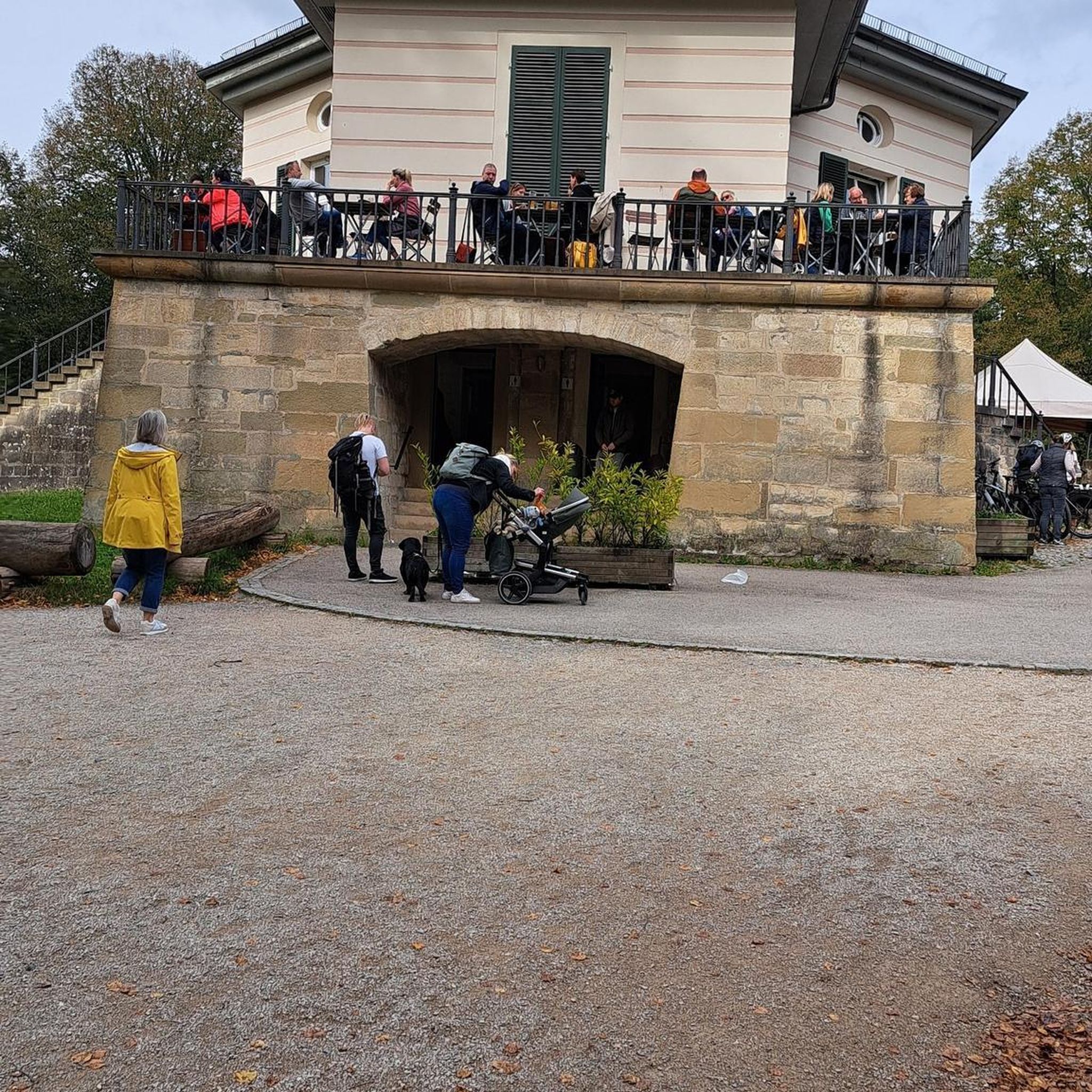
Tips from the Community

Small rest area directly on the main road at the edge of Ripsdorf. Beautiful panoramic views across the fields from here…
0
0

Komoot still shows the parking lot in front of the former Café Maus, but parking is prohibited here! 50 meters further on, there's a new public parking lot at the edge of the forest.
0
0

For information about the chapel, built between 1902 and 1903, see e.g. https://de.wikipedia.org/wiki/Erl%C3%B6serkirche_(Mirbach) or https://eifelfuehrer.de/touristische-ziele/kirchenkloester/erloeserkirche-mirbach
0
0

Well paved segment, with places to park your car in the shade of you would like to start cycling from here.
0
0


After the outdoor pool closed, the Weiherpark in the North Rhine-Westphalian municipality was left to its own devices – a barely used and inaccessible brownfield site with dilapidated structures emerged near the town center. A park is now being created at the confluence of the Ahr and Giesenbach rivers that blends into the landscape and connects Blankenheim with the surrounding nature. The vision: a spacious, species-rich valley landscape in the immediate vicinity of the town center. The Weiherpark has been rebuilt and redesigned over decades. After the swimming pool closed in 2015, large parts of it remained unused; only the Swan Pond in the center of the park remained accessible. The ideas and wishes of the residents were incorporated into the redevelopment plans. Existing and unused facilities will be demolished and landscaped; The subsequently remodeled terrain will connect to the neighboring valleys, bringing nature directly into the town. The renaturalized Weiherpark will be accessible and accessible for everyone. Thanks to the exposure of the Giesenbach stream, its confluence with the Ahr will become an integral part of the park, creating a connection to the Ahr source in the nearby historic town center. Source: https://die-gruene-stadt.de/ein-gruenes-tal-kehrt-zurueck/
4
0

You can take a wonderful walk around Lake Freilingen.
0
0
In the Eifel you have just completed a climb and as you are riding back down the next small hill comes.
0
1
Frequently Asked Questions
How many no-traffic road cycling routes are available in Nonnenbachtal Und Seitentäler Mit Froschberg Und Gillenberg?
There are over 40 dedicated no-traffic road cycling routes in the Nonnenbachtal Und Seitentäler Mit Froschberg Und Gillenberg region. These routes offer a variety of distances and difficulty levels, ensuring options for different cycling preferences.
What is the general difficulty level of road cycling routes in this region?
The routes in Nonnenbachtal Und Seitentäler Mit Froschberg Und Gillenberg cater to a range of abilities. While there are a few easy routes, the majority (around 28) are classified as moderate, and about 10 routes are considered difficult, offering more challenging ascents and descents through the scenic valleys and hills like Froschberg and Gillenberg.
Are there any circular no-traffic road cycling routes?
Yes, many of the no-traffic road cycling routes in the region are circular, allowing you to start and end at the same point. An example is the Church of the Redeemer, Mirbach – Lake Freilinger loop from Nonnenbach, which offers a moderate 46.5 km ride.
What kind of landscapes can I expect on these no-traffic road cycling routes?
You can expect a diverse and picturesque landscape. The routes wind through scenic valleys, alongside the Nonnenbach stream, and past significant forest areas including alder, ash riparian forests, and beech forests. The region's designation as a nature reserve ensures a tranquil environment with rich biodiversity, including calcareous dry grasslands.
What attractions or points of interest can I see along the no-traffic road cycling routes?
The region offers several interesting sights. You might encounter the historic Bridge Over the Nonnenbach, or the ancient Süntel Beech on the Burial Mound, a 200-year-old natural monument. Other natural highlights include the Calcareous grassland in Naturpark Hohes Venn-Eifel and the Orchid Meadow in Seidenbachtal Nature Reserve.
Are there any longer, more challenging no-traffic road cycling routes for experienced cyclists?
Absolutely. For experienced cyclists seeking a challenge, routes like the Blankenheim Castle – Hillesheim City Wall loop from Blankenheim (Wald) offer a difficult 95.5 km ride with significant elevation gain. Another demanding option is the Col de Ripsdorf – St. Margareta Church in Reetz loop from Blankenheim (Wald), covering 65.5 km with over 1000 meters of climbing.
What do other road cyclists enjoy most about cycling in Nonnenbachtal Und Seitentäler Mit Froschberg Und Gillenberg?
The komoot community highly rates the road cycling experience here, with an average score of 4.6 stars from over 120 ratings. Cyclists often praise the tranquil, traffic-free nature of the routes, the diverse scenery, and the well-maintained paths that make for an enjoyable ride through the natural beauty of the region.
Is public transport available to reach the no-traffic road cycling routes?
While the region is primarily accessed by car, some areas around Blankenheim may have limited public transport connections. It's advisable to check local bus schedules for specific starting points if you plan to use public transport.
Are there parking facilities near the no-traffic road cycling routes?
Yes, parking is generally available in and around the villages that serve as common starting points for these routes, such as Blankenheim. Look for designated parking areas or roadside parking where permitted, especially near trailheads or points of interest.
Are the no-traffic road cycling routes suitable for families?
The presence of easy and moderate routes, combined with the tranquil, traffic-free environment, makes many sections suitable for families. The scenic nature and points of interest like the Bridge Over the Nonnenbach can add to a family-friendly cycling experience. Always check the specific route details for distance and elevation to ensure it matches your family's ability.
Can I find cafes or restaurants along the no-traffic road cycling routes?
While the routes themselves are often through natural, unspoiled areas, you will find cafes and restaurants in the larger towns and villages bordering the nature reserve, such as Blankenheim. It's a good idea to plan your route to pass through these locations for refreshment stops.
Most popular routes in Nonnenbachtal Und Seitentäler Mit Froschberg Und Gillenberg
Most popular attractions in Nonnenbachtal Und Seitentäler Mit Froschberg Und Gillenberg

Get inspired with the komoot mobile app


Explore more
Browse the best Road cycling routes in other regions.
