Nonnenbachtal Und Seitentäler Mit Froschberg Und Gillenberg
Nonnenbachtal Und Seitentäler Mit Froschberg Und Gillenberg
The best walks and hikes in Nonnenbachtal Und Seitentäler Mit Froschberg Und Gillenberg
4.6
(16519)
64,357
hikers
36
hikes
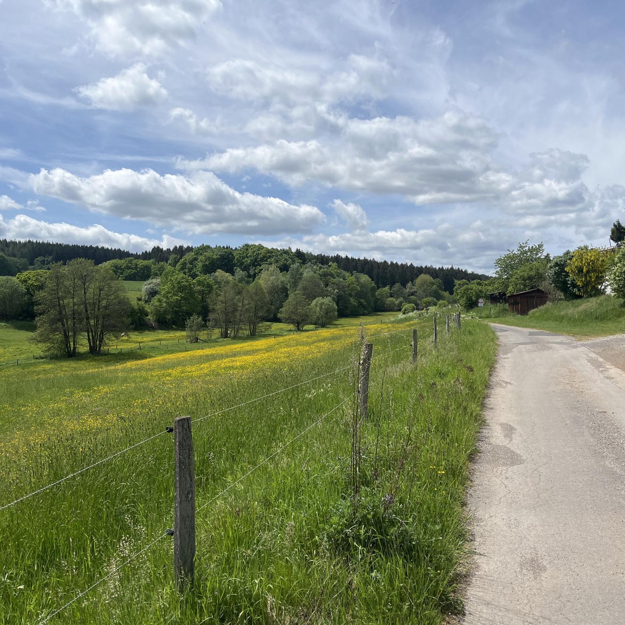
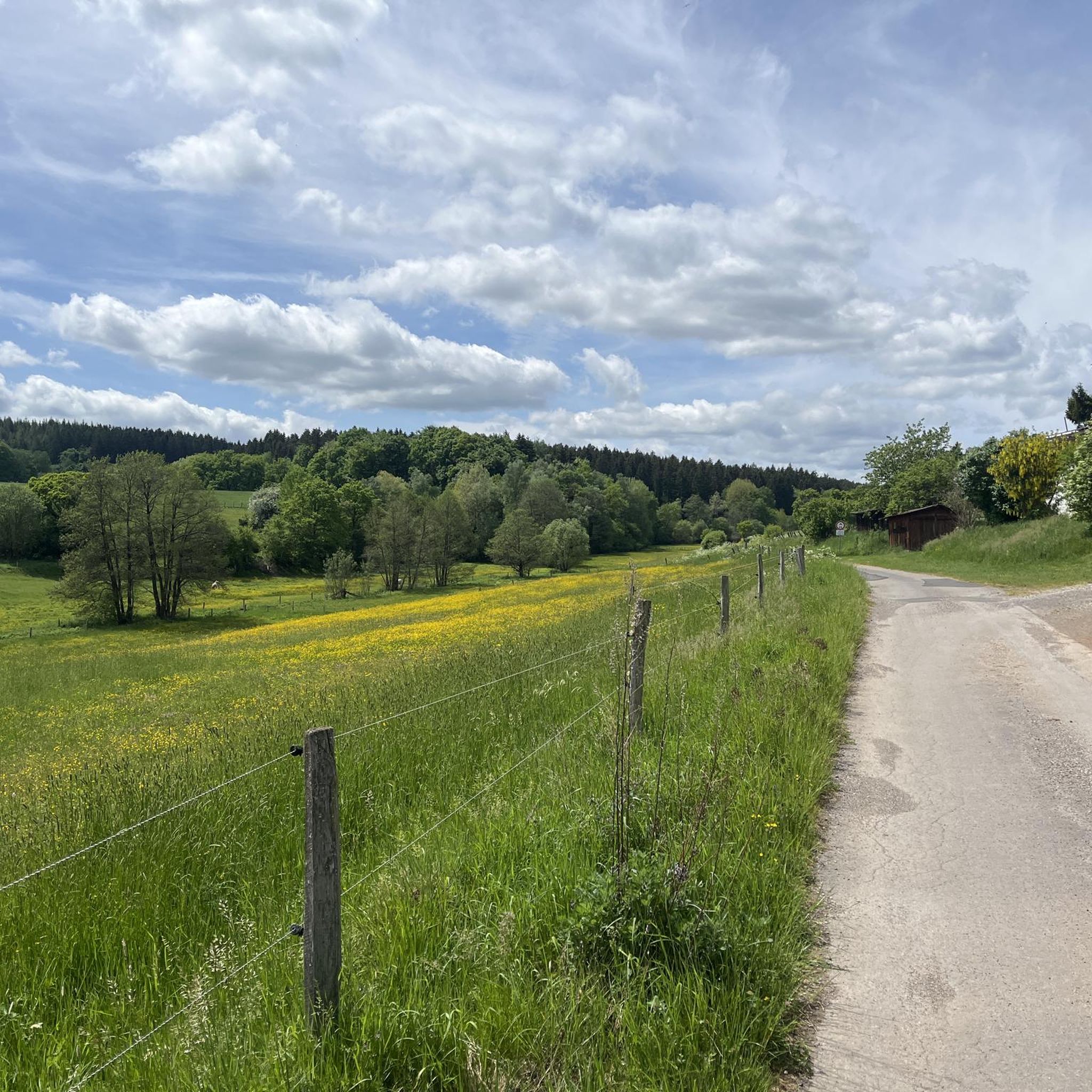
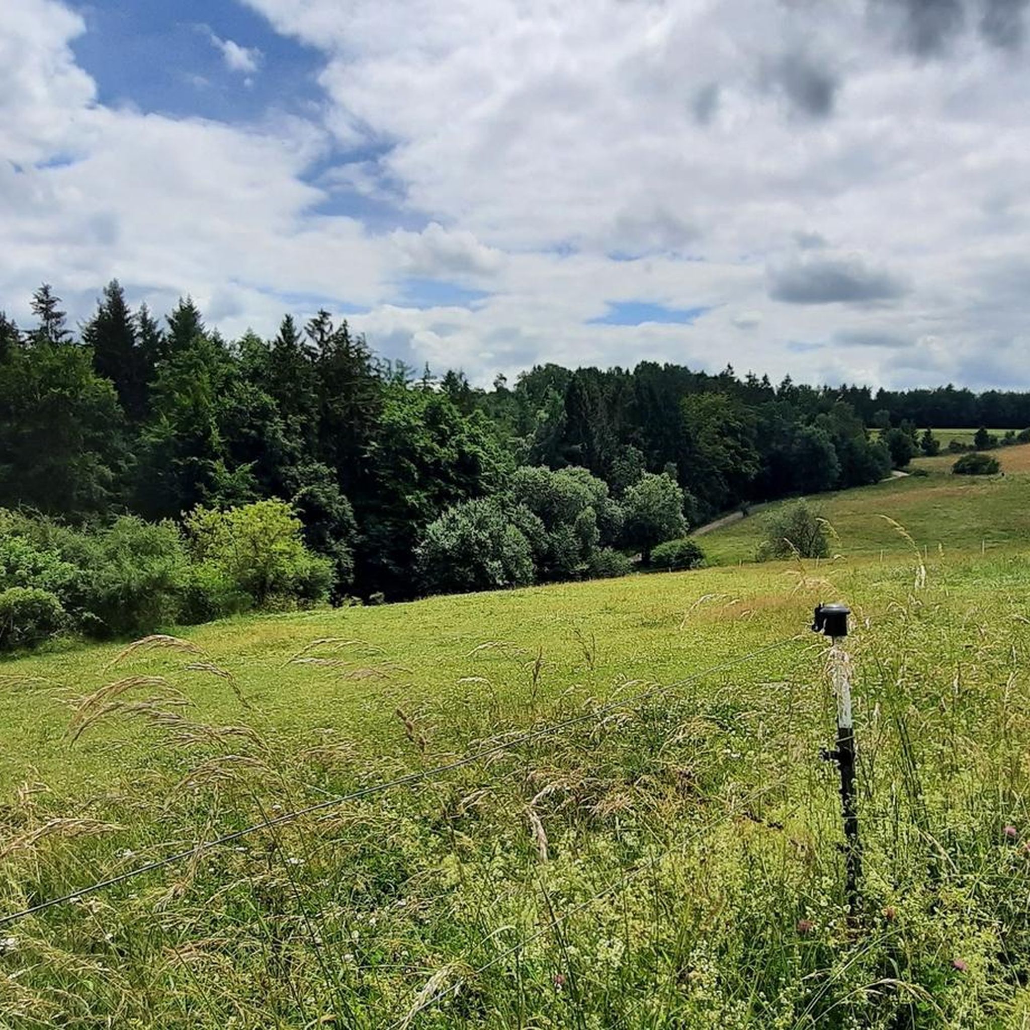
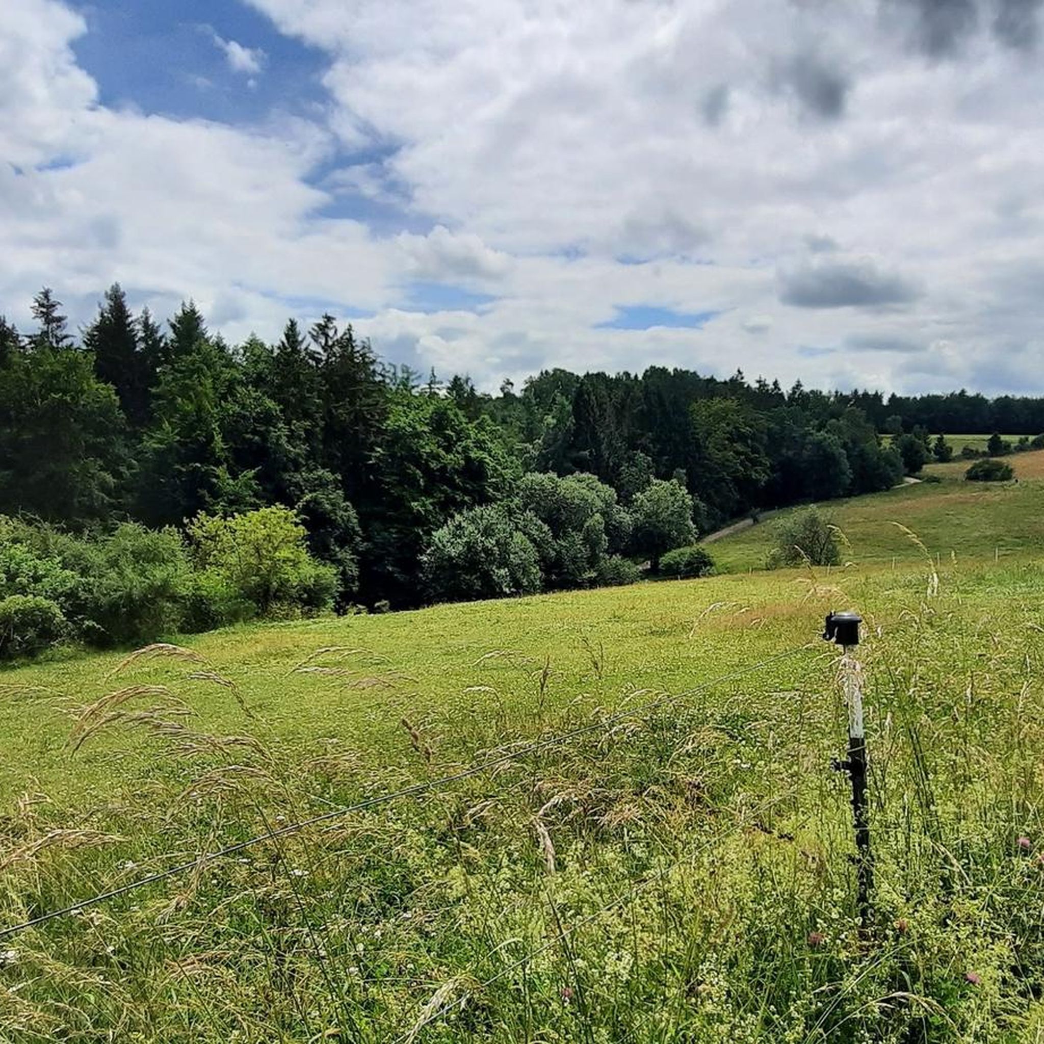
Hiking in Nonnenbachtal Und Seitentäler Mit Froschberg Und Gillenberg offers diverse trails within a designated nature reserve in the Euskirchen district of North Rhine-Westphalia, Germany. The region is characterized by the Nonnenbach and its side valleys, alongside the hills of Froschberg and Gillenberg. Habitats include flowing waters, calcareous grasslands, extensive beech and oak-hornbeam forests, and wetlands. This topography provides varied terrain for outdoor activities.
Best hiking trails in Nonnenbachtal Und Seitentäler Mit Froschberg Und Gillenberg
- The most popular hiking route…
Last updated: May 18, 2026
4.6
(15)
50
hikers
Moderate hike. Good fitness required. Easily-accessible paths. Suitable for all skill levels.
4.6
(35)
94
hikers
9.16km
02:39
230m
230m
Moderate hike. Good fitness required. Easily-accessible paths. Suitable for all skill levels.

Sign up for free
3.0
(2)
13
hikers
6.98km
02:07
230m
230m
Moderate hike. Good fitness required. Easily-accessible paths. Suitable for all skill levels.
4.8
(6)
34
hikers
17.0km
04:45
330m
330m
Moderate hike. Good fitness required. Easily-accessible paths. Suitable for all skill levels.
4.3
(3)
20
hikers
Easy hike. Great for any fitness level. Easily-accessible paths. Suitable for all skill levels.
Get access to more routes and recommendations from other explorers.
Sign up for free
Already have an account?
Our route recommendations are based on thousands of hikes, rides, and runs completed by other people on komoot.
Start today with a free account
Your next adventure awaits.
Login or Signup
Popular around Nonnenbachtal Und Seitentäler Mit Froschberg Und Gillenberg
Cycling in Nonnenbachtal Und Seitentäler Mit Froschberg Und Gillenberg
Road Cycling Routes in Nonnenbachtal Und Seitentäler Mit Froschberg Und Gillenberg
MTB Trails in Nonnenbachtal Und Seitentäler Mit Froschberg Und Gillenberg
Running Trails in Nonnenbachtal Und Seitentäler Mit Froschberg Und Gillenberg
Gravel biking in Nonnenbachtal Und Seitentäler Mit Froschberg Und Gillenberg

Mountain Hikes in Nonnenbachtal Und Seitentäler Mit Froschberg Und Gillenberg
Tips from the Community


To the hikers / walkers taking this trail with the beautiful name "Brotpfad" (Bread Path), I would like to offer the "most beautiful memories" of the Austrian writer and poet Peter ROSEGGER (also known as P. K. Rosegger, born 1843, died 1918) for edifying contemplation, because his words can – even more than a century after his death – still be relevant: "I have made many journeys in my life and the most beautiful memories I have are from walking trips. All the landscapes and other things that I have passed by are almost forgotten, only the regions and people to whom my feet have led me, I still have as property in my head."
3
0
For all those who not only want to hike the well-known banks of the Ahr with its vineyards, but also to explore the forest paths of the still very young Ahr near Blankenheim, I would like to give you a poem by the writer O. W. Ullmann to take with you on your way: „Hiking, that means carrying a longing for the sun and for sunny heights for the mountains that tower into the clouds, for the murmuring springs and the still lakes, for the trees that reach into the blue sky, for the fields that ripen for harvest, for the chirping of crickets, for the call of the finches: Hiking, that means carrying a longing.“
0
0

The church building is located outside the village of Alendorf in the north, about 350 meters as the crow flies from the village center on a mountainside and is surrounded by the cemetery.
0
0

The 🍞 Bread Trail is a very beautiful mountain hiking trail with some challenging elevation gains
0
0
For the dogs 🐶 a good way to cool down their paws 🐾 a bit
0
0

"The source of the Nonnenbach stream lies in the forest about 2 km east of Schmidtheim, beyond the B 51 highway and not far from gravel pits that are already partially filled with groundwater. It flows past the village of the same name and flows into the Ahr a good 2 km south of Blankenheim. In addition to the Seidenbach and Günzelbach streams, it is also fed by numerous placers along its short course. ..." https://de.wikipedia.org/wiki/Nonnenbach_(Ahr)
1
0
"The Ahr River rises in the cellar vaults of a half-timbered house dating back to 1726, located in the center of Blankenheim at an altitude of 474 meters. The Ahr spring has made Blankenheim, in the Eifel region of North Rhine-Westphalia, famous far beyond the state's borders. There, the Ahr then flows through the Schwanenweiher pond below Blankenheim Castle. It shapes much of the landscape in the municipality of Blankenheim and from here winds its way through the romantic Ahr Valley until it flows into the Rhine near Sinzig after almost 90 km." https://www.ahrtal.com/de/pois/ahrquelle/poi.html
0
0
Frequently Asked Questions
How many hiking trails are available in Nonnenbachtal Und Seitentäler Mit Froschberg Und Gillenberg?
There are over 35 hiking routes in Nonnenbachtal Und Seitentäler Mit Froschberg Und Gillenberg, catering to various fitness levels. You'll find a mix of easy strolls and moderate ascents through diverse landscapes.
Are there any family-friendly hiking options in the Nonnenbachtal area?
Yes, the region is well-suited for family outings. Many paths are considered easy, making them ideal for children. The diverse habitats and natural features provide an engaging experience for all ages.
Can I bring my dog on the hiking trails in Nonnenbachtal Und Seitentäler Mit Froschberg Und Gillenberg?
Yes, many trails in the Nonnenbachtal Und Seitentäler Mit Froschberg Und Gillenberg nature reserve are dog-friendly. However, as it is a protected area, always keep your dog on a leash and respect local wildlife and other hikers.
What kind of natural features and landmarks can I expect to see while hiking?
The area is rich in natural beauty. You can explore the picturesque Nonnenbach and its side valleys, encounter the Bridge Over the Nonnenbach, and discover unique habitats like calcareous grasslands and ancient beech forests. A notable highlight is the Süntel Beech on the Burial Mound, a 200-year-old dwarf beech.
Are there any circular hiking routes in the region?
Yes, many routes in Nonnenbachtal Und Seitentäler Mit Froschberg Und Gillenberg are designed as loops. For example, the Bridge Over the Nonnenbach – View of Blankenheim Castle loop offers a moderate 10.4 km circular path through the valley.
What is the best time of year to go hiking in Nonnenbachtal Und Seitentäler Mit Froschberg Und Gillenberg?
The region offers beautiful hiking experiences throughout the year. Spring brings vibrant wildflowers, including orchids in the grasslands, while autumn showcases stunning foliage. Even winter can be picturesque, though some paths might be more challenging due to conditions.
Are there any challenging hikes for experienced hikers?
While many trails are easy to moderate, some routes offer more demanding ascents. The historic Brotpfad Trail, for instance, is known for its beautiful mountain hiking experience with some challenging sections. The Ahr Spring Forest Path – View of Blankenheim Castle loop is a moderate route with over 220 meters of elevation gain.
Where can I find parking for the hiking trails?
Specific parking areas are available near popular trailheads throughout the Nonnenbachtal and Froschberg/Gillenberg areas. Look for designated 'Wanderparkplatz' signs when planning your visit.
Is it possible to reach the hiking areas by public transport?
Public transport options to the Nonnenbachtal region are available, though they might require some planning. It's advisable to check local bus schedules to Blankenheim or nearby villages, which can serve as starting points for your hikes.
What do other hikers enjoy most about Nonnenbachtal Und Seitentäler Mit Froschberg Und Gillenberg?
The area is highly rated by the komoot community, with an average score of 4.6 stars from over 1800 reviews. Hikers often praise the diverse and natural paths, the tranquility of the nature reserve, and the varied landscapes, from flowing waters to ancient forests.
Are there any specific regulations or permits required for hiking in this nature reserve?
As Nonnenbachtal Und Seitentäler Mit Froschberg Und Gillenberg is a designated nature reserve (Natura 2000 area), it's important to stay on marked paths, refrain from disturbing wildlife, and not pick plants. Generally, no specific permits are required for hiking, but always respect the conservation guidelines.
Can I find places to eat or drink near the hiking trails?
While the immediate nature reserve is wild, you can find gastronomy options in the nearby municipality of Blankenheim and surrounding villages. These include cafes, restaurants, and pubs where you can refuel after your hike.
Most popular routes in Nonnenbachtal Und Seitentäler Mit Froschberg Und Gillenberg
Most popular attractions in Nonnenbachtal Und Seitentäler Mit Froschberg Und Gillenberg

Get inspired with the komoot mobile app


Explore more
Browse the best Hikes in other regions.
