Nonnenbachtal Und Seitentäler Mit Froschberg Und Gillenberg
Nonnenbachtal Und Seitentäler Mit Froschberg Und Gillenberg
The best running trails in Nonnenbachtal Und Seitentäler Mit Froschberg Und Gillenberg
4.6
(192)
1,865
runners
215
runs
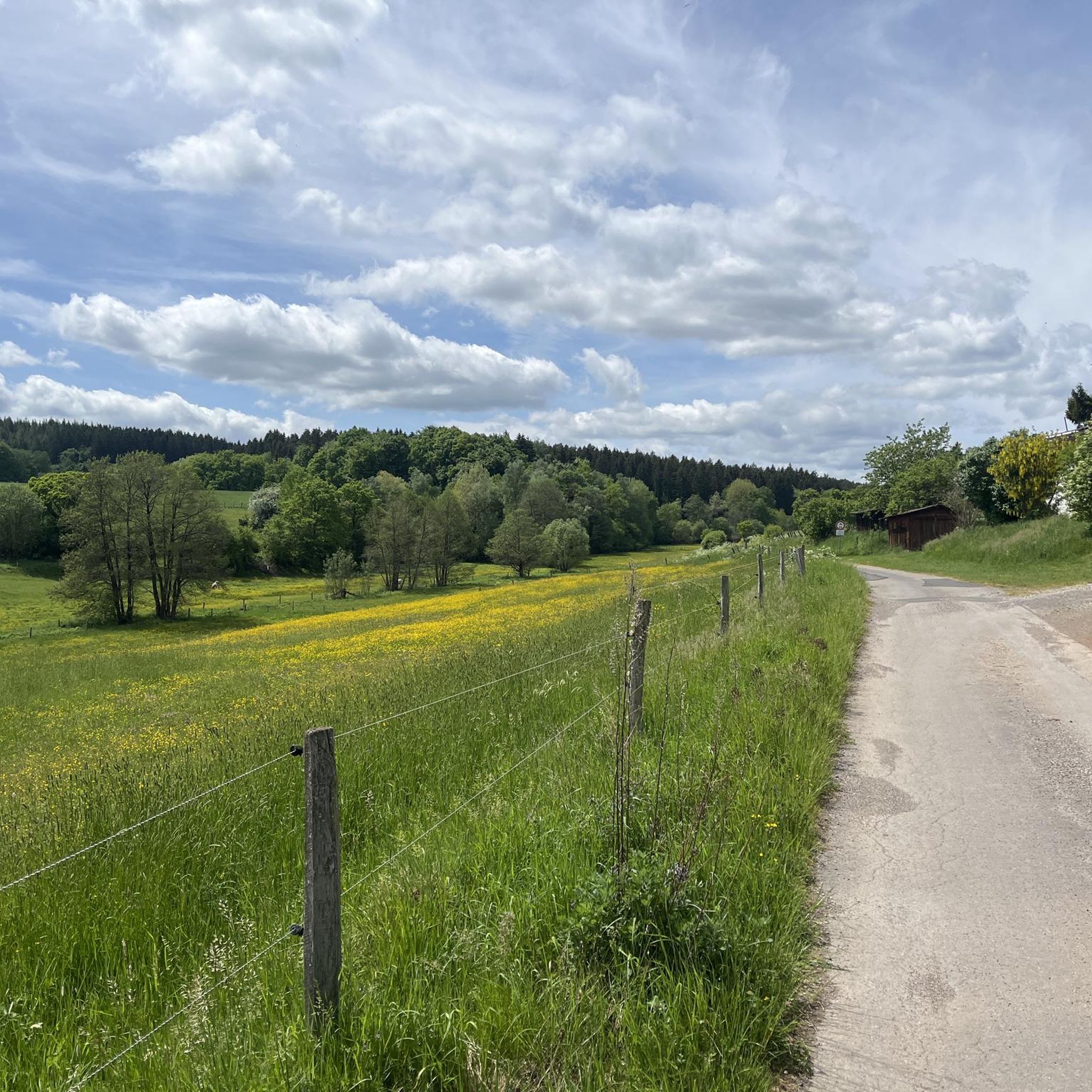
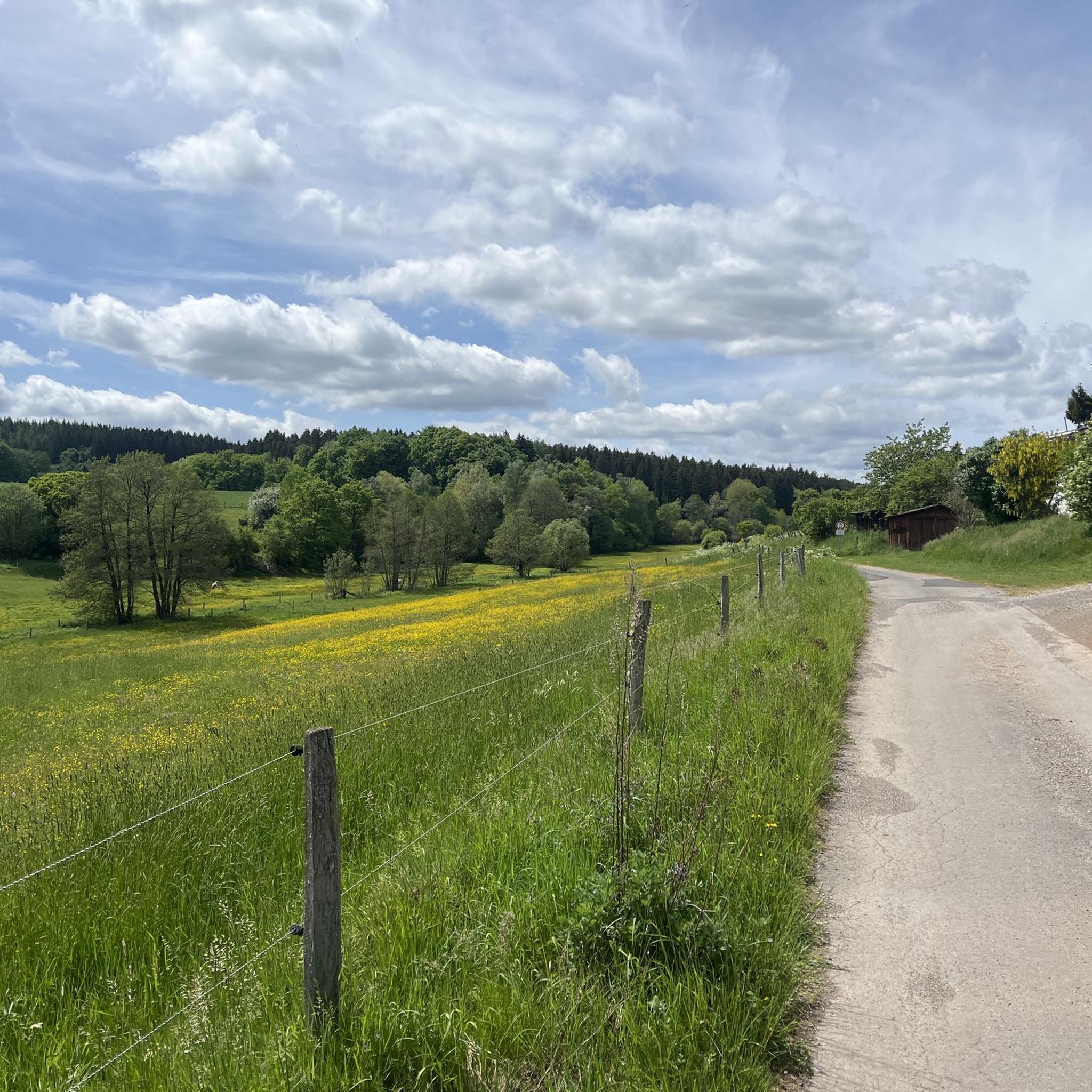
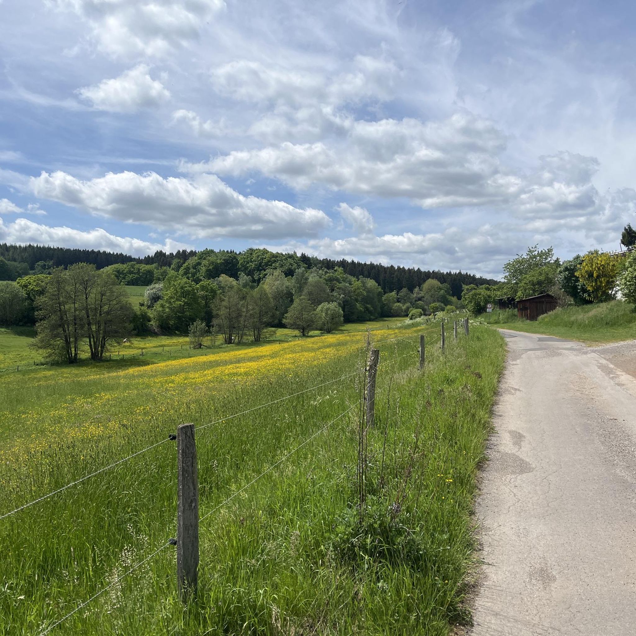
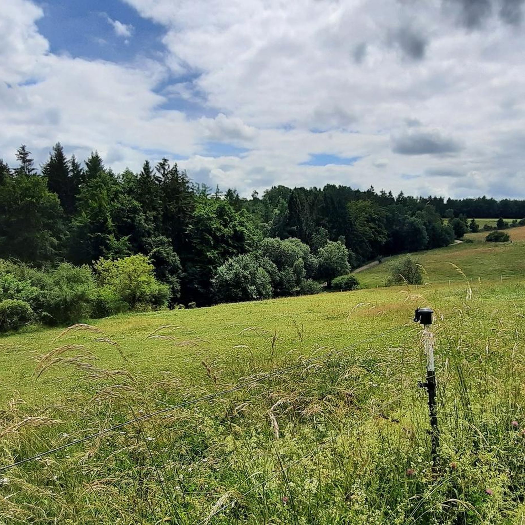
Jogging routes in Nonnenbachtal Und Seitentäler Mit Froschberg Und Gillenberg traverse a 291.36-hectare nature reserve in North Rhine-Westphalia, Germany. The region is characterized by the Nonnenbach stream and its side valleys, offering varied terrain with ascents and descents. Landscapes include calcareous grasslands, diverse meadows, and forests, providing a natural environment for running. This area features a network of paths suitable for various fitness levels.
Best jogging routes in Nonnenbachtal Und Seitentäler Mit Froschberg Und Gillenberg
- The most popular jogging route…
Last updated: May 13, 2026
2
runners
6.71km
00:45
120m
120m
Moderate run. Good fitness required. Mostly paved surfaces. Suitable for all skill levels.
5.0
(3)
19
runners
19.2km
02:16
360m
360m
Hard run. Very good fitness required. Mostly paved surfaces. Suitable for all skill levels.

Sign up for free
4.5
(4)
22
runners
Moderate run. Good fitness required. Mostly paved surfaces. Suitable for all skill levels.
5.0
(1)
16
runners
Easy run. Great for any fitness level. Mostly paved surfaces. Suitable for all skill levels.
5.0
(2)
12
runners
Moderate run. Good fitness required. Mostly paved surfaces. Suitable for all skill levels.
Get access to more routes and recommendations from other explorers.
Sign up for free
Already have an account?
Our route recommendations are based on thousands of hikes, rides, and runs completed by other people on komoot.
Start today with a free account
Your next adventure awaits.
Login or Signup
Popular around Nonnenbachtal Und Seitentäler Mit Froschberg Und Gillenberg
Cycling in Nonnenbachtal Und Seitentäler Mit Froschberg Und Gillenberg
Hiking in Nonnenbachtal Und Seitentäler Mit Froschberg Und Gillenberg
Road Cycling Routes in Nonnenbachtal Und Seitentäler Mit Froschberg Und Gillenberg
MTB Trails in Nonnenbachtal Und Seitentäler Mit Froschberg Und Gillenberg
Gravel biking in Nonnenbachtal Und Seitentäler Mit Froschberg Und Gillenberg

Mountain Hikes in Nonnenbachtal Und Seitentäler Mit Froschberg Und Gillenberg
Tips from the Community

Nice place to stop in the center of Blankenheim.
1
0
Nice place to eat in the historic district of Blankenheim.
1
0

Komoot still shows the parking lot in front of the former Café Maus, but parking is prohibited here! 50 meters further on, there's a new public parking lot at the edge of the forest.
0
0

With stamp for the 2nd stage
0
0

We stopped here in glorious sunshine. The service was very friendly, our cake was delicious and beautifully presented. The homemade lemonade is delicious. A lovely way to end the Eifel Trail.
1
0

A very beautiful swimming (reservoir) lake in the heart of the Eifel region. The lake itself isn't very large and can be circumnavigated quickly. The sunbathing lawn quickly fills up on summer days. There's a great lakeside bar, pedal boat rentals, and a designated area for dogs. From the lake, there are numerous options for all kinds of tours.
0
0

Unfortunately, there is only the stamp for stage 2 left.
0
0
The von Eichendorff Rock is also popularly known as the "Düwelssteen" (Devil's Stone). It consists of red sandstone and layers with a high proportion of gravel and boulders (so-called conglomerates). The material was deposited by a river system in a large depression during the Middle Buntsandstein period around 240 million years ago. The red color of the rock is due to its hematite (an iron oxide) content and indicates a desert-like climate at the time of deposition. Source: Information board on site
1
0
Frequently Asked Questions
How many running routes are available in Nonnenbachtal Und Seitentäler Mit Froschberg Und Gillenberg?
There are over 200 running routes in Nonnenbachtal Und Seitentäler Mit Froschberg Und Gillenberg. This includes a wide variety of options, with 32 easy routes, 161 moderate routes, and 24 difficult routes, catering to all fitness levels.
What kind of terrain can I expect on the jogging trails?
The region offers diverse terrain, characterized by the picturesque Nonnenbach stream and its side valleys. You'll find a mix of ascents and descents, traversing calcareous grasslands, juniper formations, various meadows, and diverse forests, including beech and oak-hornbeam. The paths are generally well-maintained and suitable for running.
Are there any easy running routes suitable for beginners or families?
Yes, there are 32 easy running routes in the area, perfect for beginners or a relaxed family run. An example is the Running loop from Nonnenbachtal und Seitentäler mit Froschberg und Gillenberg, which is 4.7 km long and has minimal elevation gain.
What are some notable natural features or landmarks to see while running?
While running, you can discover several interesting points. Look out for the Bridge Over the Nonnenbach, the ancient Süntel Beech on the Burial Mound, or the serene St. Michael and Brigida Chapel (Nonnenbach). The area also features beautiful Calcareous grasslands in Naturpark Hohes Venn-Eifel and scenic viewpoints like O Täler Weit, O Höhen Bench.
Are there any circular running routes in the region?
Yes, many of the running routes in Nonnenbachtal Und Seitentäler Mit Froschberg Und Gillenberg are circular. For example, the challenging Freilinger Lake – Lake Freilinger loop from Blankenheim offers a 19.2 km circuit around the lake, providing varied lakeside and forest terrain.
What do other runners say about the trails in Nonnenbachtal Und Seitentäler Mit Froschberg Und Gillenberg?
The running routes in this region are highly rated by the komoot community, with an average score of 4.6 stars from over 180 reviews. Nearly 1,900 runners have used komoot to explore the varied terrain, often praising the natural beauty and well-maintained paths.
Is the area suitable for running with dogs?
As a nature reserve, the Nonnenbachtal Und Seitentäler Mit Froschberg Und Gillenberg is generally dog-friendly, but it's crucial to keep dogs on a leash to protect wildlife and respect other visitors. Always check local signage for specific rules in certain sections.
Are there any routes that pass by Lake Freilinger?
Yes, the Lake Freilinger – Freilinger Lake loop from Blankenheim is a popular, difficult 15.9 km path that circles Lake Freilinger, offering beautiful lakeside views and varied terrain.
Where can I park when visiting the running trails?
While specific parking spots for every trailhead aren't detailed, the region is accessible, and parking is generally available near popular starting points, especially in and around nearby towns like Blankenheim. It's advisable to check maps for designated parking areas close to your chosen route.
Are there any historical paths or routes with cultural significance?
Yes, the area features paths with historical significance, such as sections of the historic "Blankenheimer Brotpfad." This path, once used to transport bread to Blankenheim, is also part of the Eifelsteig long-distance hiking trail and offers a glimpse into the region's past while providing a well-trodden route for running.
What is the best time of year to go running in Nonnenbachtal Und Seitentäler Mit Froschberg Und Gillenberg?
The region is beautiful year-round, but spring and autumn offer particularly pleasant conditions for running with milder temperatures and vibrant natural scenery. Summer can be great, but it's best to run early morning or late afternoon to avoid the midday heat. Winter running is also possible, but be prepared for potentially icy or muddy conditions on some trails.
Can I find routes that combine natural beauty with historical sites?
Absolutely. The St. George's Gate (Blankenheim) – Swan Pond, Blankenheim loop from Blankenheim is a 12.0 km moderate trail that leads through historical areas of Blankenheim and its natural surroundings, offering a blend of cultural and scenic experiences.
Most popular routes in Nonnenbachtal Und Seitentäler Mit Froschberg Und Gillenberg
Most popular attractions in Nonnenbachtal Und Seitentäler Mit Froschberg Und Gillenberg

Get inspired with the komoot mobile app


Explore more
Browse the best Running Trails & Routes in other regions.
