Nonnenbachtal Und Seitentäler Mit Froschberg Und Gillenberg
Nonnenbachtal Und Seitentäler Mit Froschberg Und Gillenberg
The best gravel rides in Nonnenbachtal Und Seitentäler Mit Froschberg Und Gillenberg
4.7
(39)
233
riders
52
rides
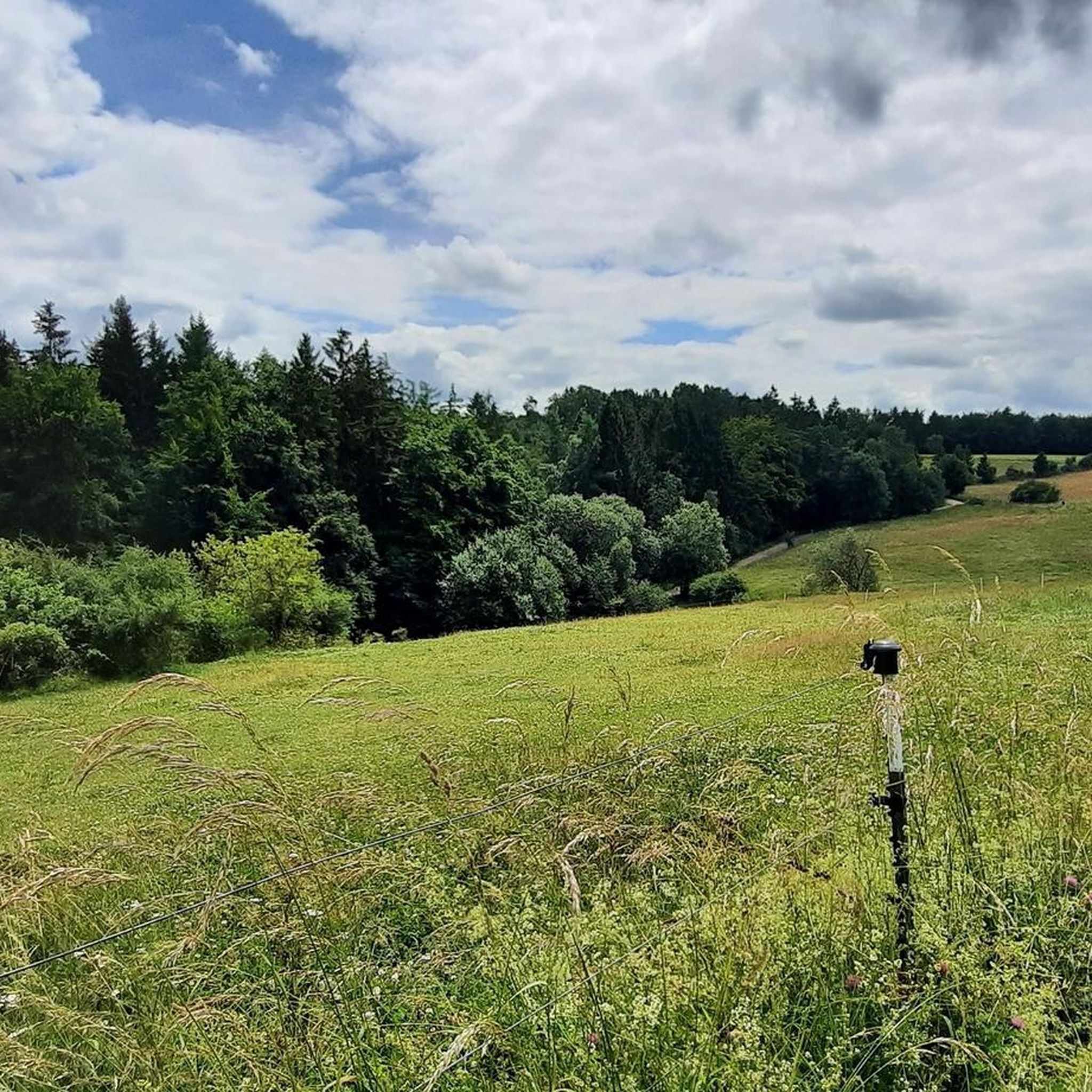
Gravel biking in Nonnenbachtal Und Seitentäler Mit Froschberg Und Gillenberg offers a network of trails through varied terrain. The region is characterized by its valleys, including Nonnenbachtal and its side valleys, alongside the hills of Froschberg and Gillenberg. These features create a landscape with both ascents and descents, often passing through woodlands and open areas. The routes provide opportunities to explore the natural environment of this area.
Best gravel bike trails in Nonnenbachtal Und Seitentäler Mit Froschberg Und Gillenberg
- The…
Last updated: November 3, 2026
4.3
(3)
12
riders
52.3km
03:09
540m
540m
Hard gravel ride. Very good fitness required. Mostly paved surfaces.
4.5
(2)
14
riders
Moderate gravel ride. Good fitness required. Mostly paved surfaces.

5.0
(3)
6
riders
Hard gravel ride. Very good fitness required. You may need to push your bike for some segments of this route.
16
riders
79.5km
04:39
900m
900m
Hard gravel ride. Very good fitness required. Mostly paved surfaces.
12
riders
49.5km
02:50
320m
320m
Moderate gravel ride. Good fitness required. Mostly paved surfaces.
Get access to more routes and recommendations from other explorers.
Already have an account?
Our route recommendations are based on thousands of hikes, rides, and runs completed by other people on komoot.
Start today with a free account
Your next adventure awaits.
Popular around Nonnenbachtal Und Seitentäler Mit Froschberg Und Gillenberg
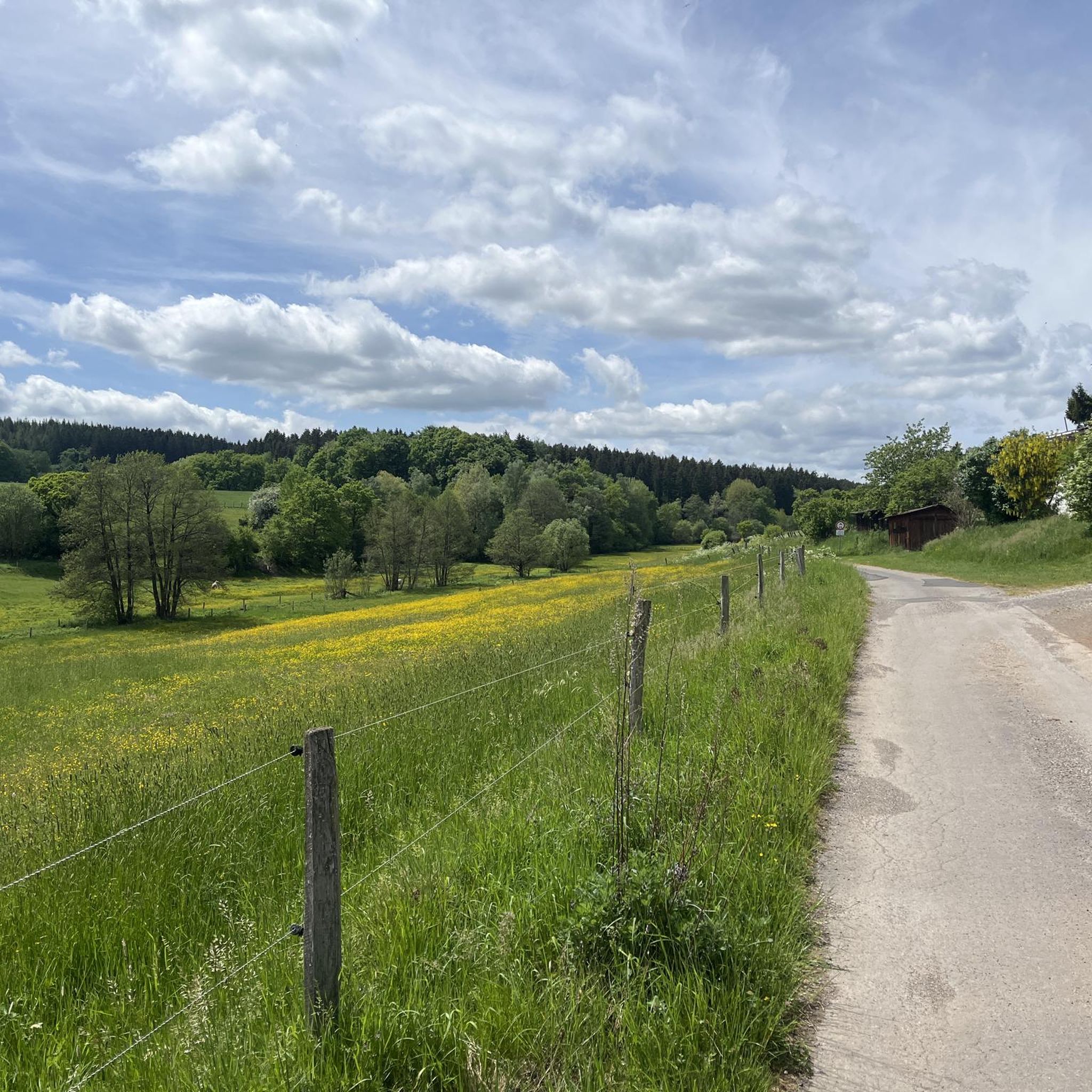
Cycling in Nonnenbachtal Und Seitentäler Mit Froschberg Und Gillenberg
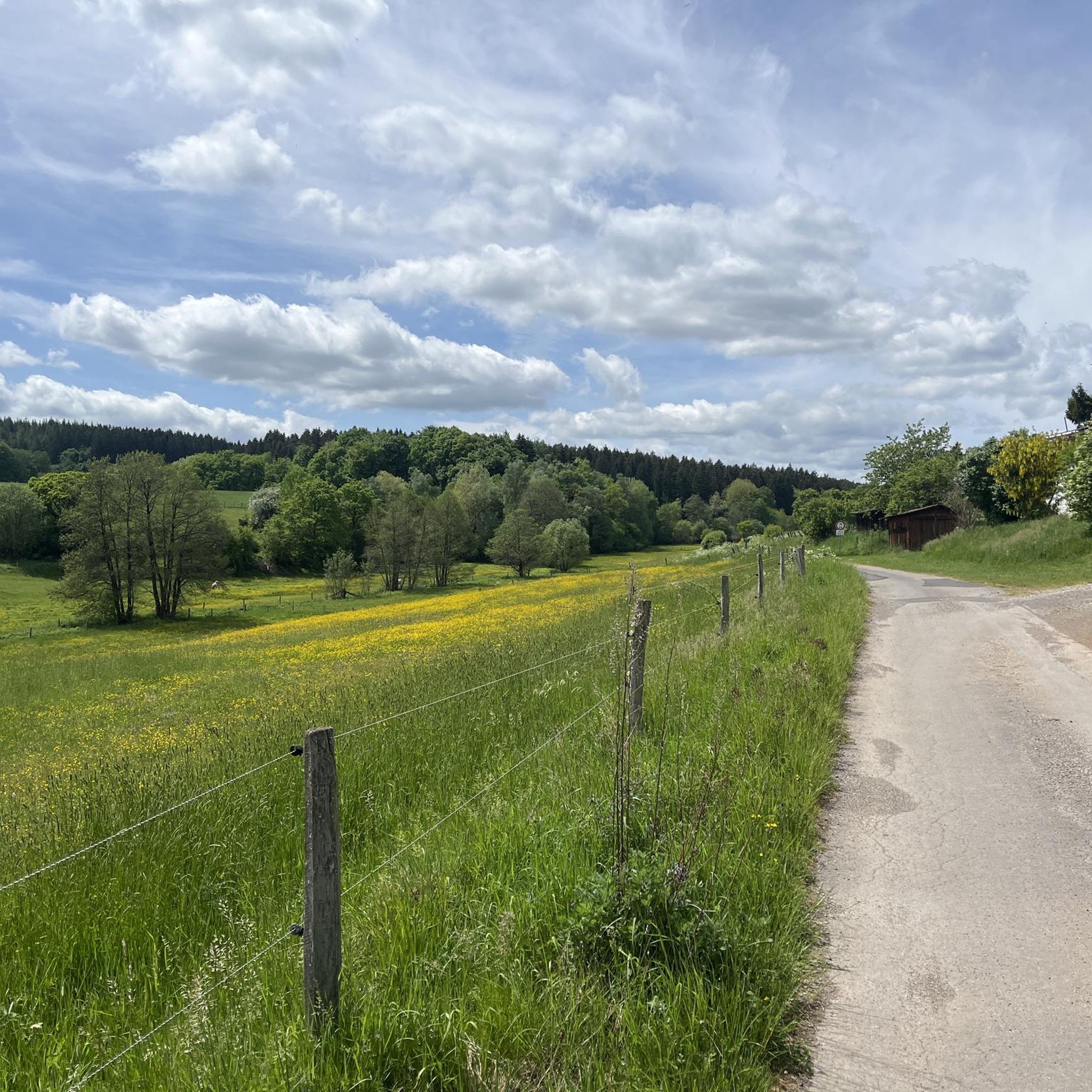
Hiking in Nonnenbachtal Und Seitentäler Mit Froschberg Und Gillenberg
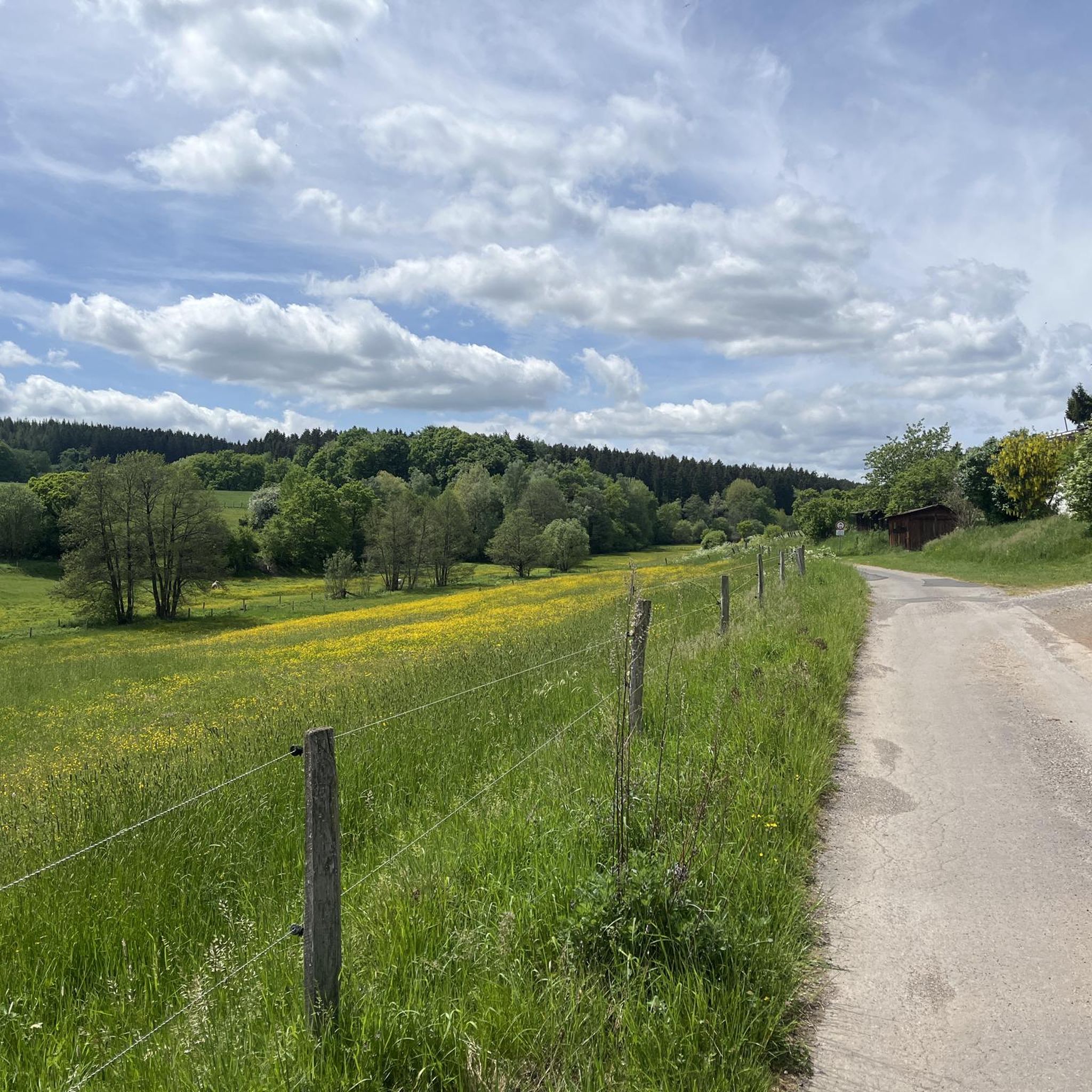
Road Cycling Routes in Nonnenbachtal Und Seitentäler Mit Froschberg Und Gillenberg
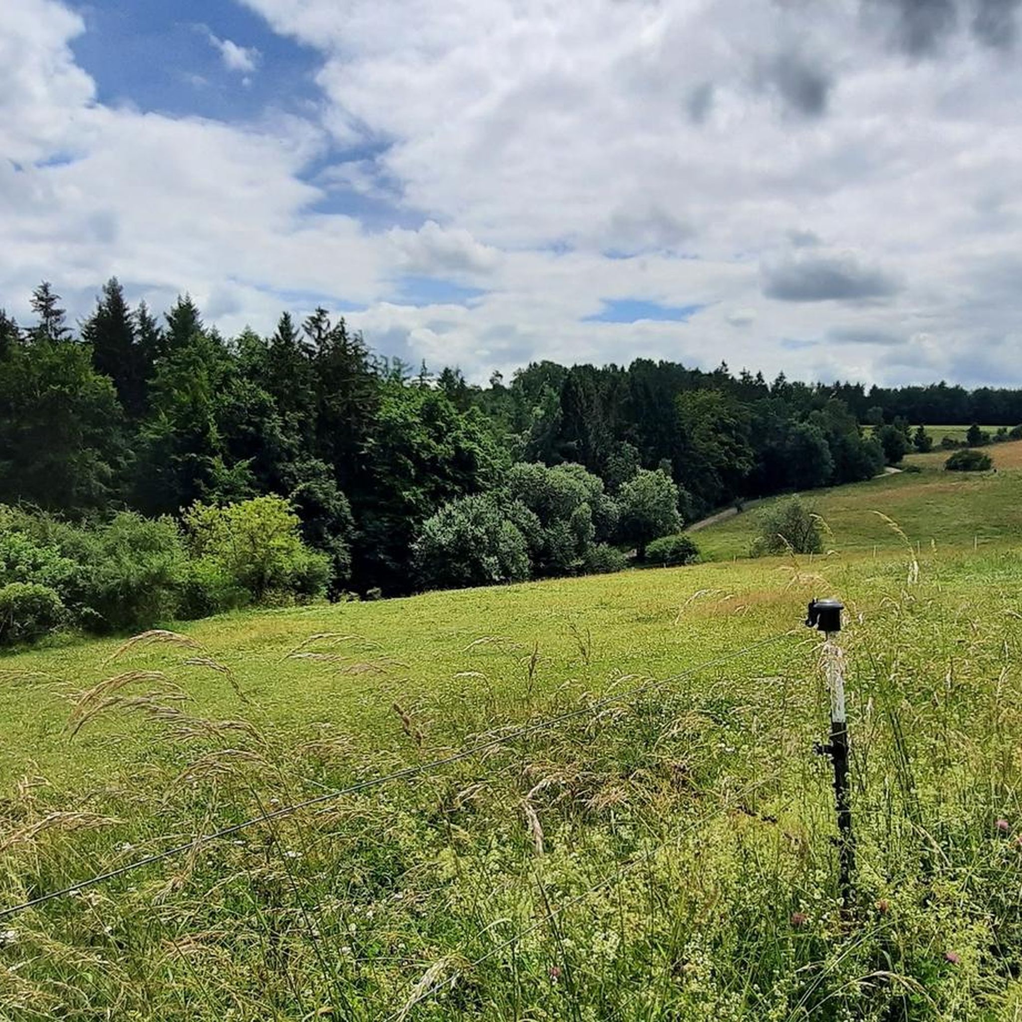
MTB Trails in Nonnenbachtal Und Seitentäler Mit Froschberg Und Gillenberg
Running Trails in Nonnenbachtal Und Seitentäler Mit Froschberg Und Gillenberg

Mountain Hikes in Nonnenbachtal Und Seitentäler Mit Froschberg Und Gillenberg
Tips from the Community

A beautiful valley - perfect for a bike ride
0
0

The Urft rises in the North Eifel in the High Fens-Eifel Nature Park at an altitude of about 581 m above sea level. Its source is in the Dahlemer Wald, 3.8 km west of the Dahlem district of Schmidtheim and 2.3 km (as the crow flies) northwest of the Dahlemer Binz airfield. The various headstreams of the source basin collect for the first time in the Urftweiher, which is located 1.5 km west of Schmidtheim at an altitude of 537 m above sea level. Source: Wikipedia
0
0
Gigantic retaining wall built from quarry stone. Above Dernau/Ahr there is a similar retaining wall in the vineyards.
1
0
The Urft originates in the Nordeifel in the Hohes Venn-Eifel Nature Park at an altitude of approximately 581 m above sea level (NHN). Its source lies in the Dahlem Forest, 3.8 km west of the Dahlem district of Schmidtheim and 2.3 km (both as the crow flies) northwest of the Dahlemer Binz airfield. The various spring streams of the source hollow first gather in the Urftweiher, which lies 1.5 km west of Schmidtheim at an altitude of 537 m above sea level (NHN). The Urft is first visible as a river body after the Urftweiher. Source: Wikipedia
0
0

Beautiful cycle path along the Ahr
0
0

Great cycle path between Dümpelfeld and Liers
3
0

Very beautiful stage that leads through the forest over several hundred meters of natural growth.
0
0

Frequently Asked Questions
What are the difficulty levels of gravel bike trails in Nonnenbachtal Und Seitentäler Mit Froschberg Und Gillenberg?
The region offers a good mix of trails for various skill levels. You'll find 2 easy routes, 28 moderate routes, and 40 difficult routes, providing options whether you're looking for a relaxed ride or a more challenging adventure through the valleys and hills.
What is the typical length and duration of gravel bike trails in this region?
Trail lengths vary significantly. For example, the View of Ahe Chapel – Urft Valley Trail loop is a moderate 12.7 miles (20.5 km) route, taking about 1 hour 6 minutes. Longer, more challenging options like the Dreimühlen Waterfall – Kerpen Castle loop cover 32.4 miles (52.2 km) and can take around 4 hours to complete.
Are there family-friendly gravel bike trails in Nonnenbachtal Und Seitentäler Mit Froschberg Und Gillenberg?
Yes, there are a few easier options suitable for families, with 2 routes specifically rated as easy. For families with some riding experience, many of the 28 moderate trails might also be enjoyable, offering less strenuous terrain than the difficult routes.
Where can I find parking when planning a gravel bike ride in the Nonnenbachtal region?
Many routes in the area, such as the Dreimühlen Waterfall – Kerpen Castle loop, start from towns like Blankenheim. It's advisable to look for public parking facilities within these starting communities, as specific trailside parking is not always available.
What kind of viewpoints can I expect along the gravel routes?
The region offers several scenic spots. You can find viewpoints like the O Täler Weit, O Höhen Bench, which provides expansive views of the surrounding valleys and hills. The View of Ahe Chapel – Urft Valley Trail loop also offers picturesque vistas of the Urft Valley.
Are there any circular gravel bike routes available?
Yes, most of the popular gravel bike trails in the region are designed as loops. Examples include the Ahr Cycle Route – Ahr Cycle Path (Ahr-Radweg) loop and the Freilingen Singletrack – Freilinger Lake loop, allowing you to start and finish at the same point.
What do other gravel bikers enjoy most about the Nonnenbachtal Und Seitentäler Mit Froschberg Und Gillenberg area?
The area is highly rated by the komoot community, with an average score of 4.9 stars from around 30 reviews. Reviewers often praise the diverse landscapes, including woodlands, valleys, and hills, which create an engaging and varied gravel biking experience.
What natural attractions or landmarks can I see while gravel biking here?
Along the trails, you can discover several natural and historical highlights. These include the Bridge Over the Nonnenbach, the unique Süntel Beech on the Burial Mound, and the Calcareous grassland in Naturpark Hohes Venn-Eifel. You might also pass by the St. Michael and Brigida Chapel.
Are there any gravel bike trails that pass by lakes or water features?
Yes, for instance, the Freilingen Singletrack – Freilinger Lake loop takes you around Freilinger Lake, offering pleasant views and a refreshing change of scenery. The region's valleys also feature various streams and the Nonnenbach itself.
Are there any beginner-friendly gravel bike routes in the Nonnenbachtal area?
While many routes feature elevation changes, there are 2 trails specifically categorized as easy, making them suitable for beginners or those looking for a more relaxed ride. These routes typically have less challenging terrain and elevation profiles.
What are some options for advanced gravel bikers looking for a challenge?
Advanced riders will find plenty to enjoy, with 40 routes rated as difficult. The Dreimühlen Waterfall – Kerpen Castle loop is a prime example, featuring significant elevation changes and diverse landscapes over its 32.4 miles (52.2 km).
Can I find cafes or pubs near the gravel bike trails for a break?
While specific establishments aren't listed for every trail, routes often start or pass through towns like Blankenheim or Nettersheim. These communities typically offer opportunities for refreshments, so planning your breaks around these points is recommended.
Most popular routes in Nonnenbachtal Und Seitentäler Mit Froschberg Und Gillenberg
Most popular attractions in Nonnenbachtal Und Seitentäler Mit Froschberg Und Gillenberg

Get inspired with the komoot mobile app


Explore more
Browse the best Gravel rides in other regions.
